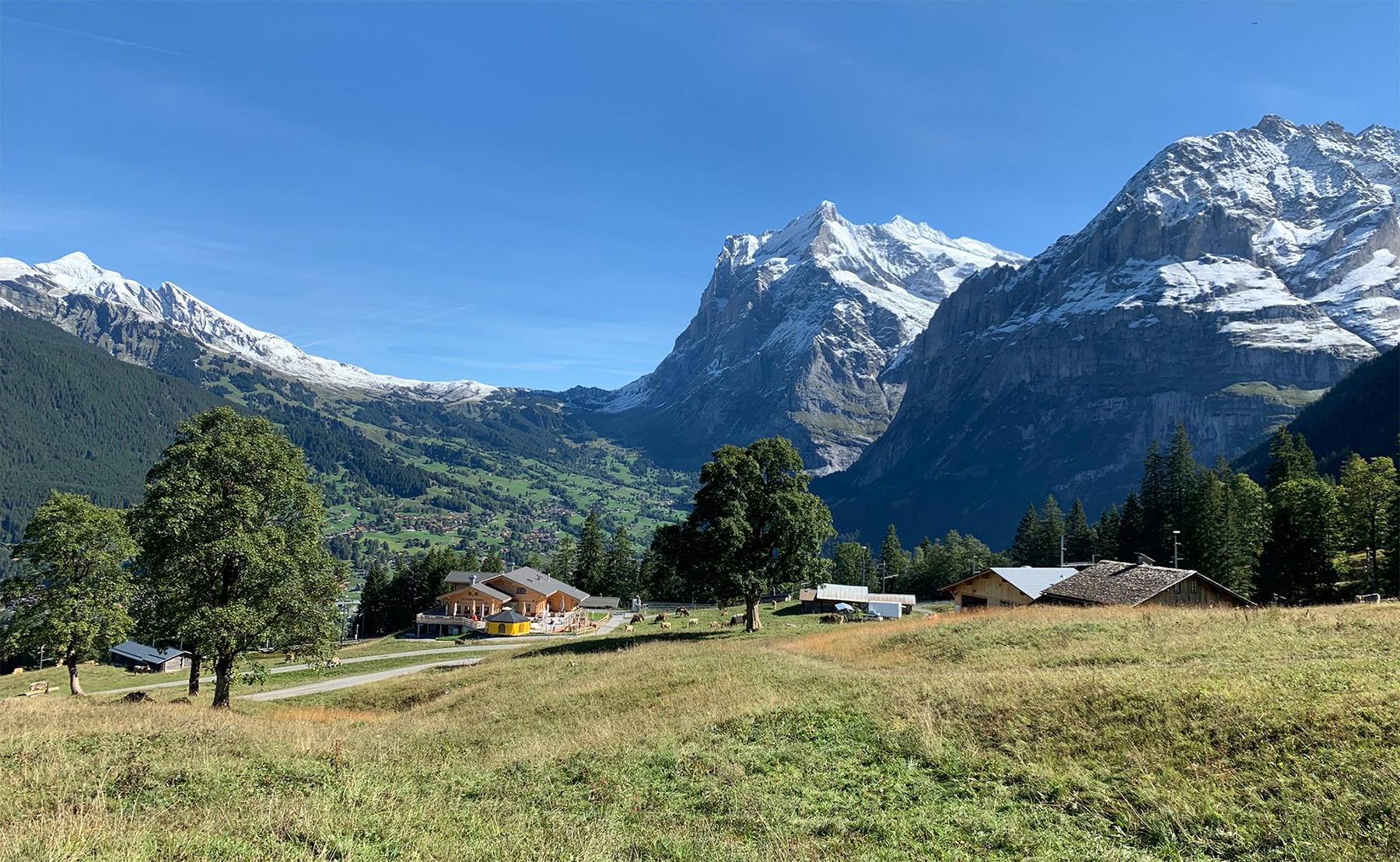
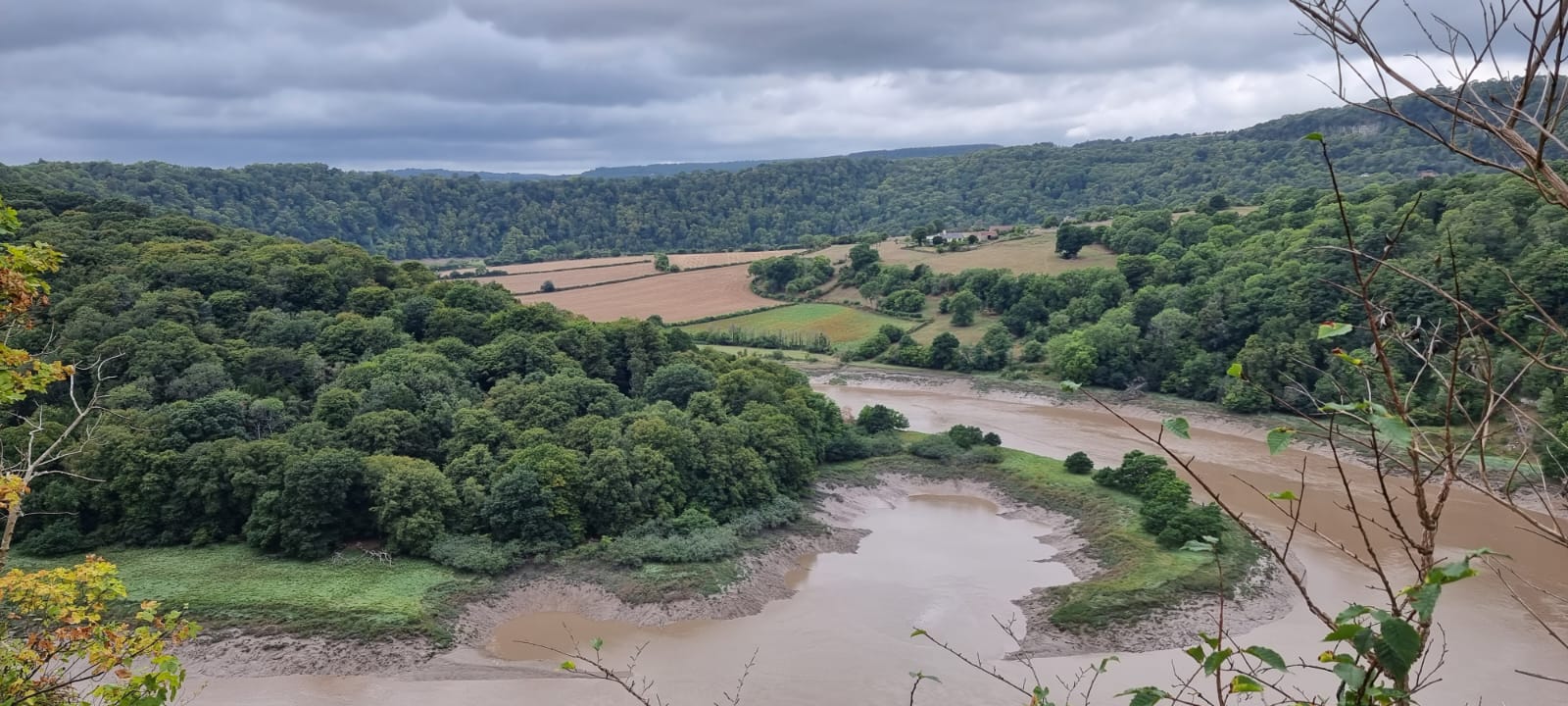
Walk this route yourself in 3D!
The Video is a 3D walk through of this route, it will give you a unique sense of having walked through the route before you start.
I have created 3D Videos of my adventures and have shared them with the OutdoorActive community as well as my walking community.
Day 4 – Less climbing, more sightseeing and flat walking day from Lauterbrunnen, with a ride in a cable car up to 3000m!
Waking up in Lauterbrunnen on the final walking day, we decided that we didn’t want to walk straight back to Interlaken, as it’s only a 3.5-hour flat walk back, so we decided to do some sightseeing, and it was easily the right decision, as you will see below. I have only included in the downloads the hike back to Interlaken from Lauterbrunnen, and not included the sightseeing as it is optional, and in any case, you will be returning from Piz Gloria on the Schilthorn back through Lauterbrunnen, and then following the route back to Interlaken.
So, we got up, packed our bags checked out of the ‘Valleys Hostel‘ and went for breakfast at the ‘Horner Pub‘. You can have breakfast at the hostel we stayed in, but you had to order it the night before, which we didn’t realise, but never mind, the Horner Pub is great, and it was nice to put our lighter walking shoes on and see how the feet felt after the day before, get back into the groove if you like.
The plan is to walk through the world famous and spectacular ‘Waterfalls Valley‘, then catch a series of cable cars to Piz Gloria on the Schilthorn, then walk back through the valley, through Lauterbrunnen and the 3.5 hour walk to Interlaken. It didn’t go quite to plan, as it started to get dark, so we caught the train for the last couple of miles, but that’s the beauty of this area, you do have options, if you know where those options are.
Getting There: Directions, GPX and App Link
The Hiking app I use to plan the walks and to aslo guide me around is the ‘Outdooractive App‘, which has a free a Pro and a Pro+ version, the Pro version will allow you to download the routes to your phone, and use them without using up your data.
The reason I mention it is that if you were to download a route, they are FREE and you can find this link to this route in my hike listings. You can then follow the arrows and voice on your mobile, as most of these walks are a bit tricky to explain.
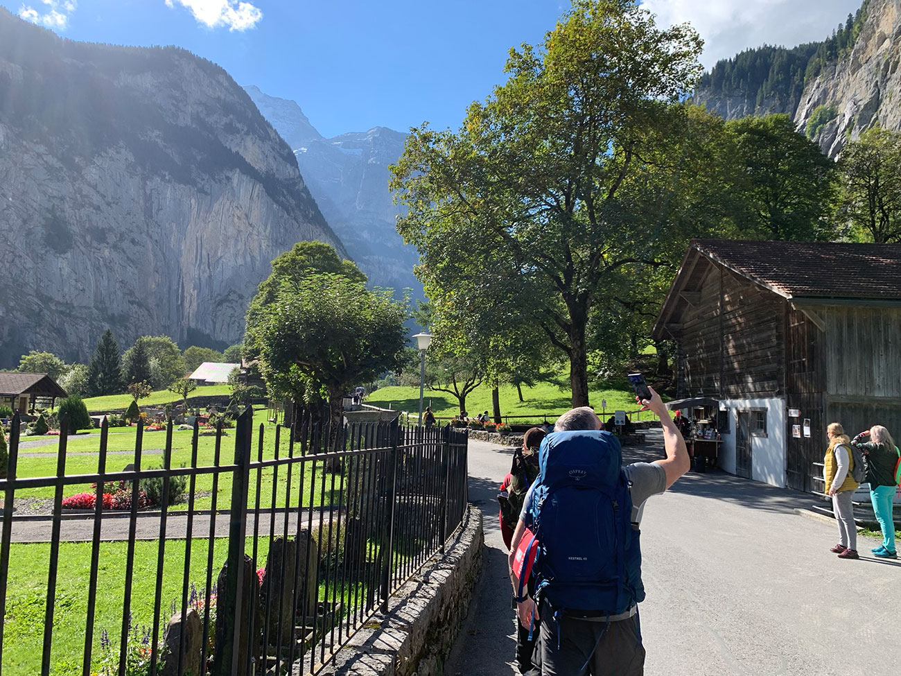
- Starting anywhere in Lauterbrunnen, head to the train station and make your way through the subway under the tracks and turn left once you’re at the other end. Then make your way down to the river, and once you cross over the bridge, it’s pretty much straight on from there.
- The next available train station is about half way and it is called Zweilutschinen, this will take you directly into Interlaken.
Navigation Aids:
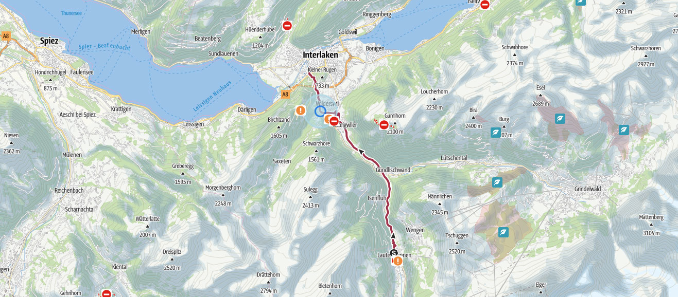
Hike Map
Hike Profile
- Distance: 8m / 13km
- Duration: 3-4 hours (trains are an option to finish off the route)
- Difficulty: Easy, as you follow the river back to Interlaken.
- Route conditions: Well-worn pathways all of the way back, good walking shoes are a must.
Hike Description & Pics
The hike the day before was a very long and hard, but this hike back is a lot easier, and you follow the river pretty much all the way back. But we decided to do some sightseeing, and for good reason, as literally a 5-minute walk from the hostel is the world famous ‘Waterfalls Valley‘ which extends from Lauterbrunnen to Stechelberg. There are a total of 72 waterfalls running down into the valley from the vertical cliff faces which are as high as 400 metres, you’ll need to do some extra exploring though if you want to see them all.
If you are having breakfast in the ‘Horner Pub’, walk out the door turn right and just follow the road straight on. You will then see your first waterfall on the right, and this is also the first part of your sightseeing tour. A sitting area will be there, and a sign ‘Staubbach Falls’ because you can walk up and into the rock face, and once your are at the end point you can look out into the valley and have some of the waterfall spray in your face, it’s a great start to the day as you leave Lauterbrunnen.
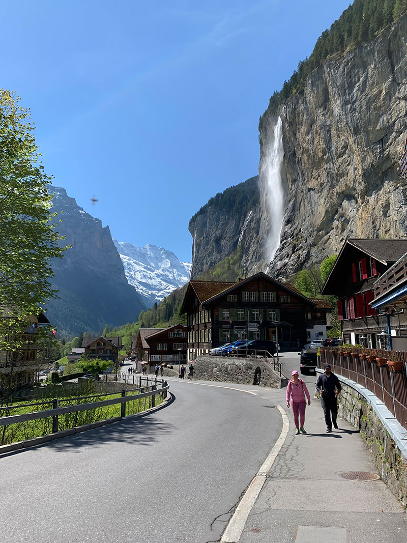
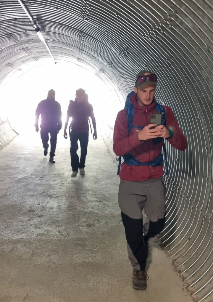
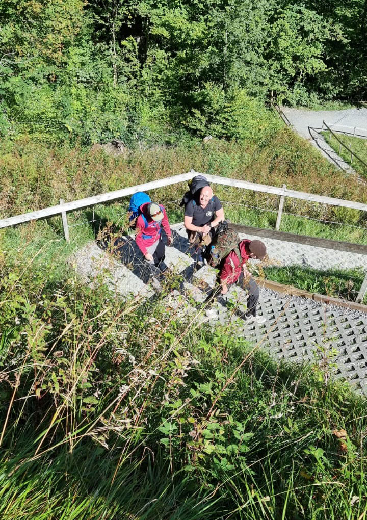
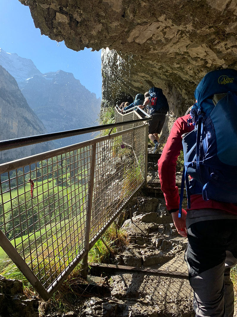
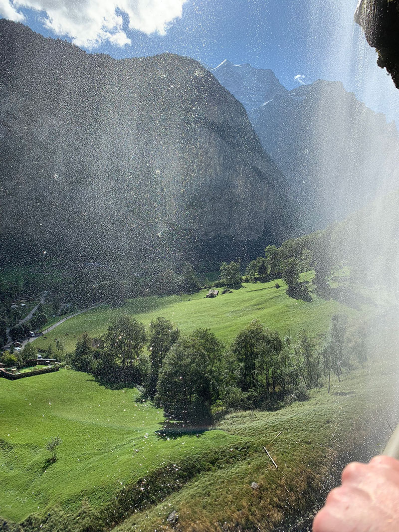
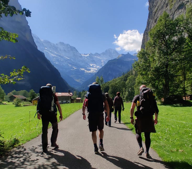
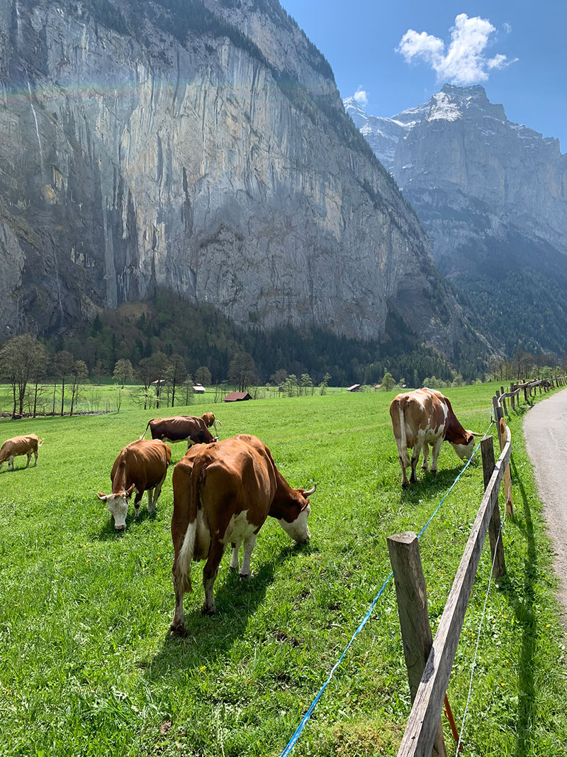
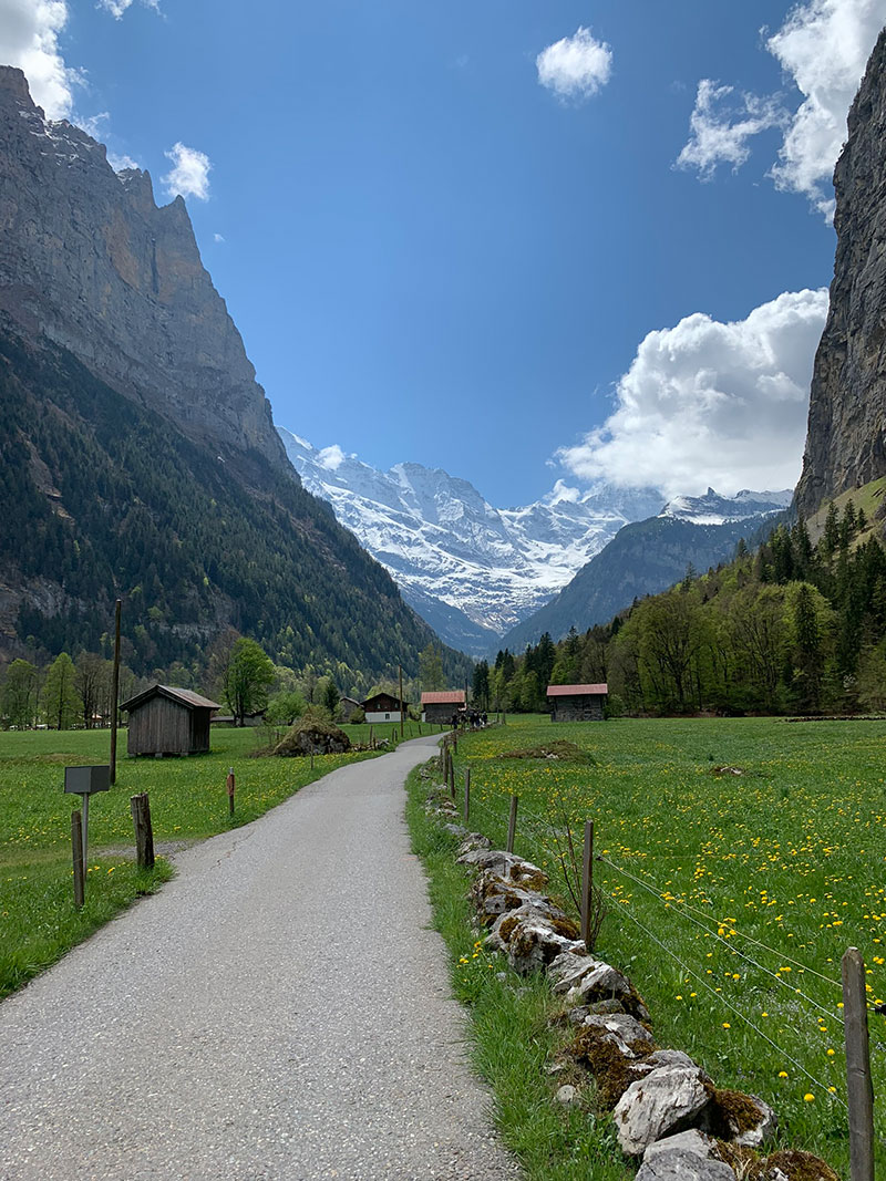
Once we left the cave viewing area it was back on the road/path heading towards Schilthorn to catch the cable car, but first there was still so much to see as you walk through that valley, it is so beautiful it’s hard to take it all in, and with the mountains either side, and the mountains ahead of you, you could be made to feel like you’re part of a big adventure and starring in Lord of the Rings!
As you walk through there are little sitting area’s not a lot of them in fairness, but hopefully you pic a sunny day so the grass really looks bright green and then you have the bright blue sky and the snow on the mountains glistening, it is an amazing place, this is the second time I walked through this area, and it just blows your mind.
It’s an amazing place to take some pics and show your friends where you are and what you’re looking at!
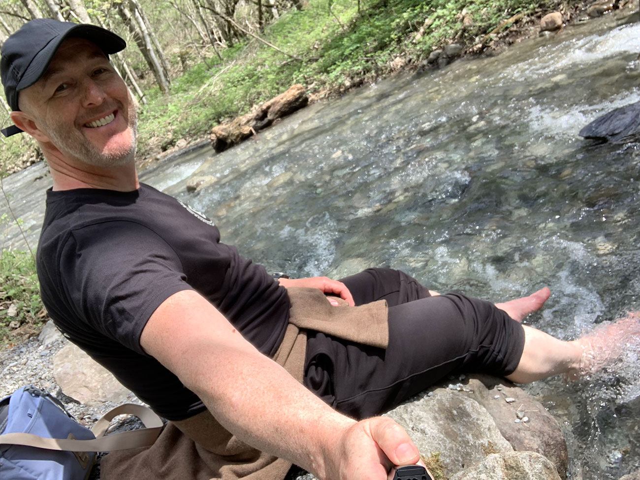
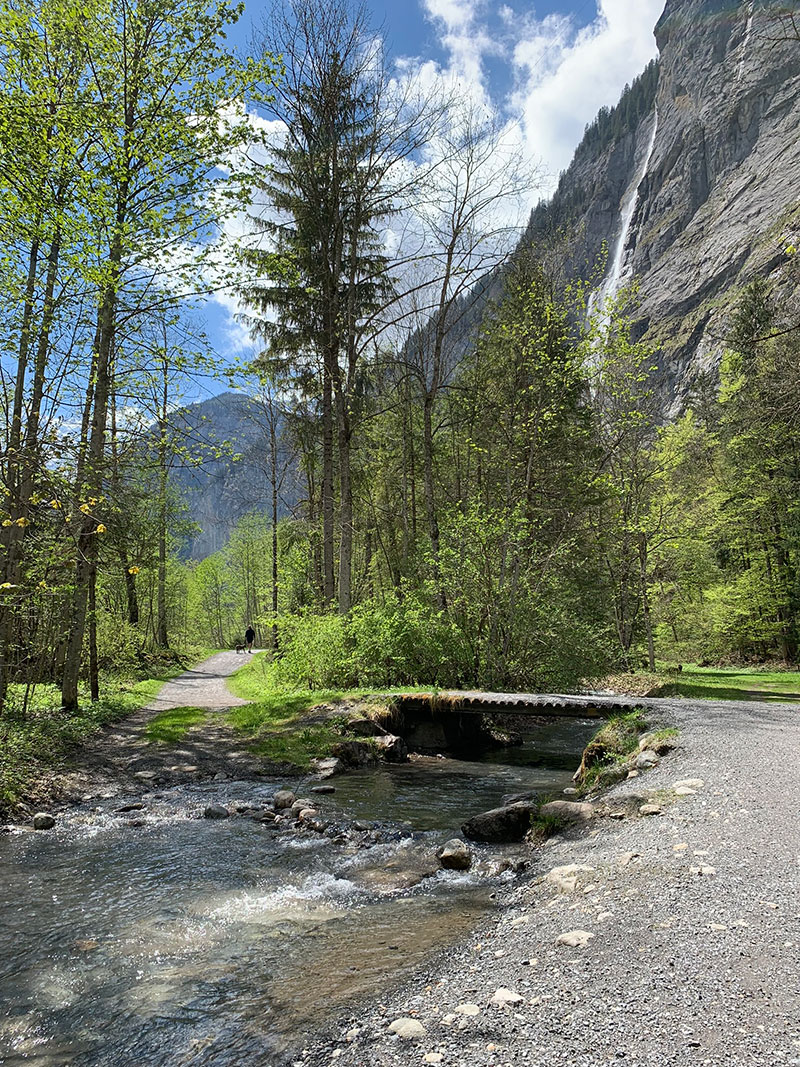
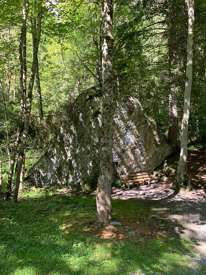
At this point I could go straight into us queuing and getting onto the cable car, but at the bottom of this path you get right close to a stream running through the valley, there is a bridge running over it about half way down but keep going and you will come to a shaded area in the tree’s and the path is right next to the water, so I took some time out and took my shoes and socks off and dipped my feet in the ice cold water, and believe me it is very cold, but it was such a nice feeling, I felt much better after that.
Just a bit further down the path, you’ll cross over a bigger bridge and arrive at the cable car building that will take you to the Schilthorn. The full ride takes 3 cable cars, you’ll get off and on, and you’ll need your ticket at each stop, but to also say you can get off on any of the stops and do some exploring and get back on, just be sure you get the right ticket for what you want to do. We bought our tickets at the ticket office there as it was out of season, so we knew it wouldn’t be too busy, but you can buy them here.
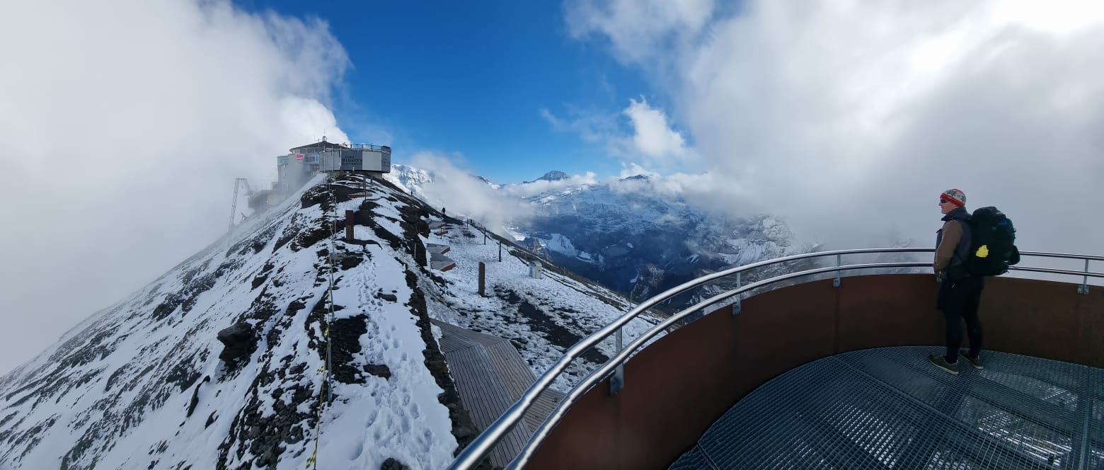
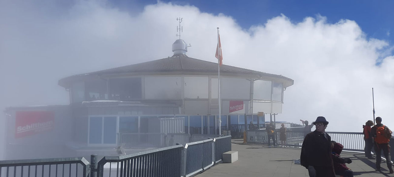
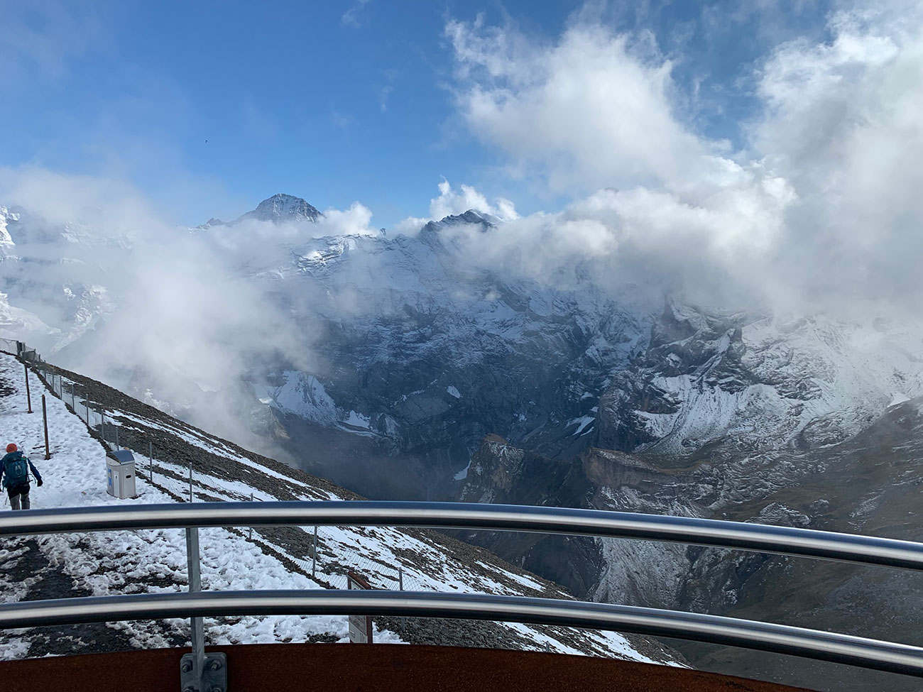
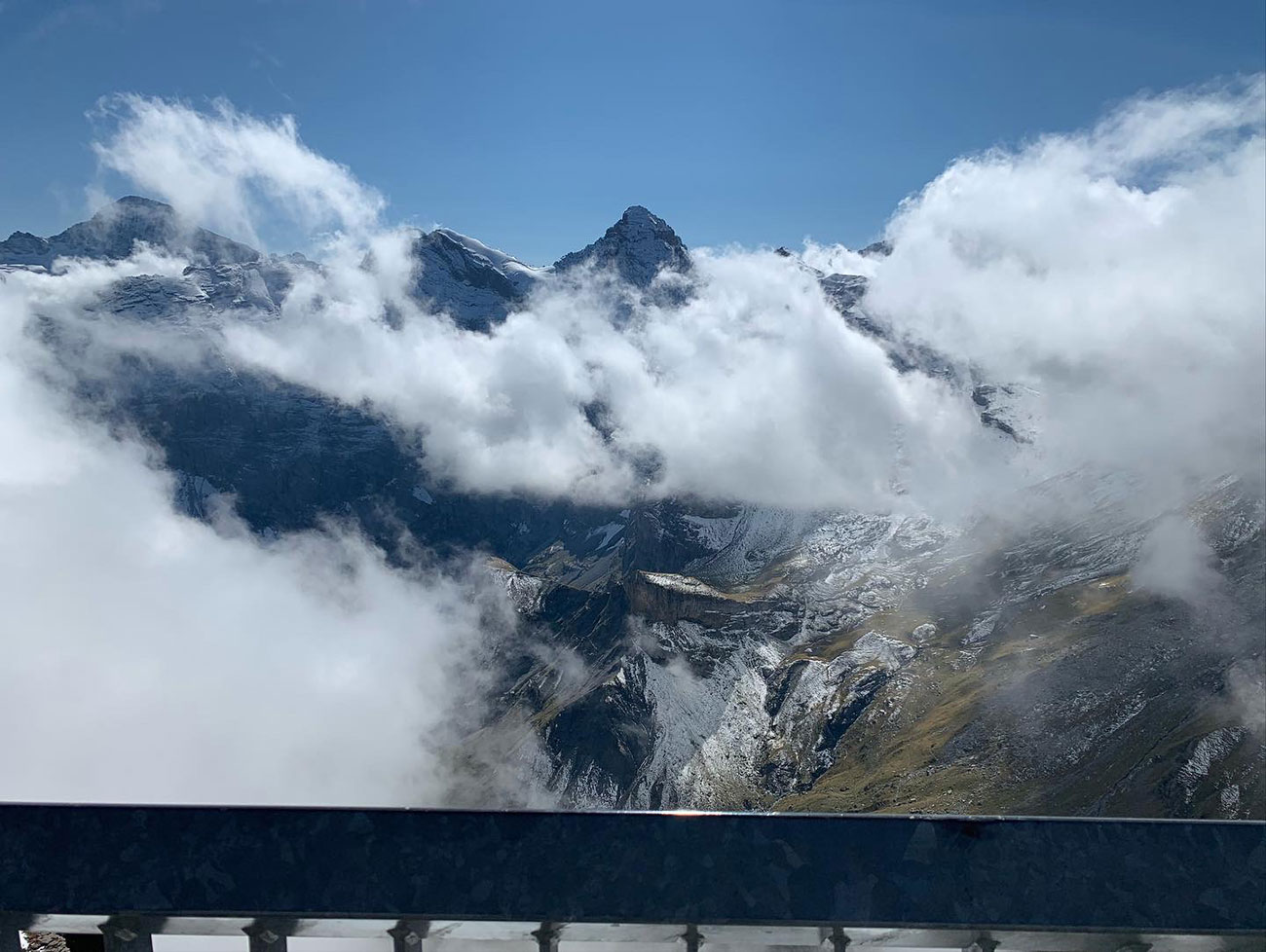
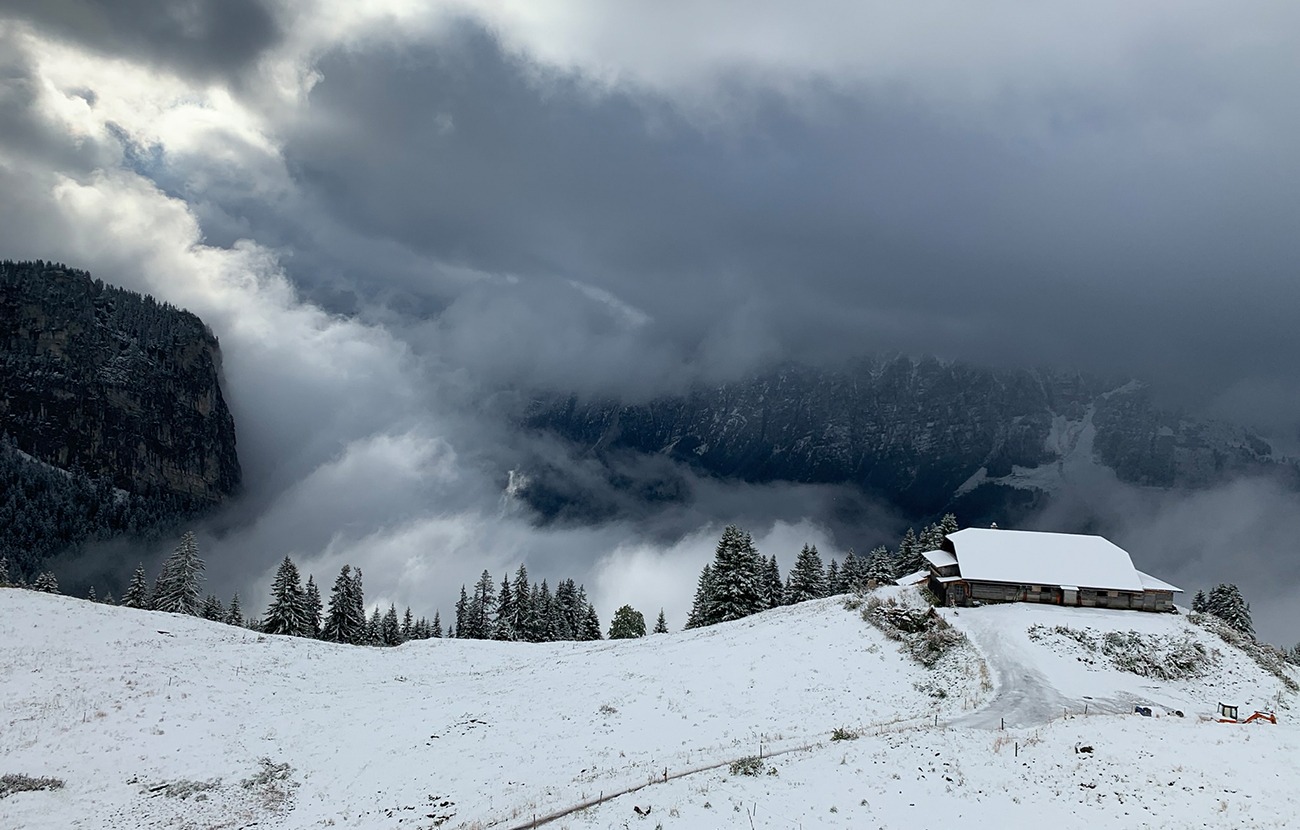
The one you need to go to the top is Stechelberg – Schilthorn, it’s an outstanding place to go to, and you must do it, just look at the pics below. Unfortunately for us, it was really cloudy, so we didn’t get to see the mountain range in full, but there where opportunities where the clouds did part and it was beautiful.
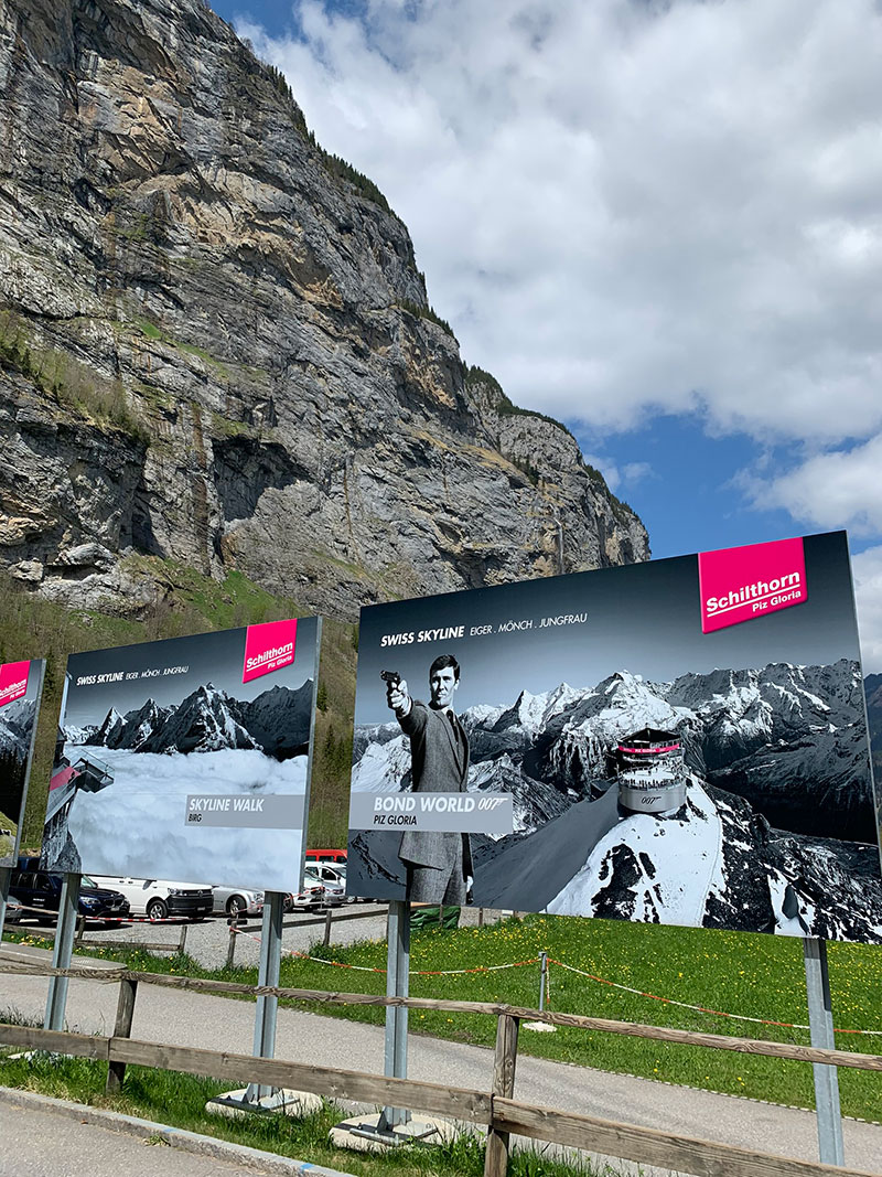
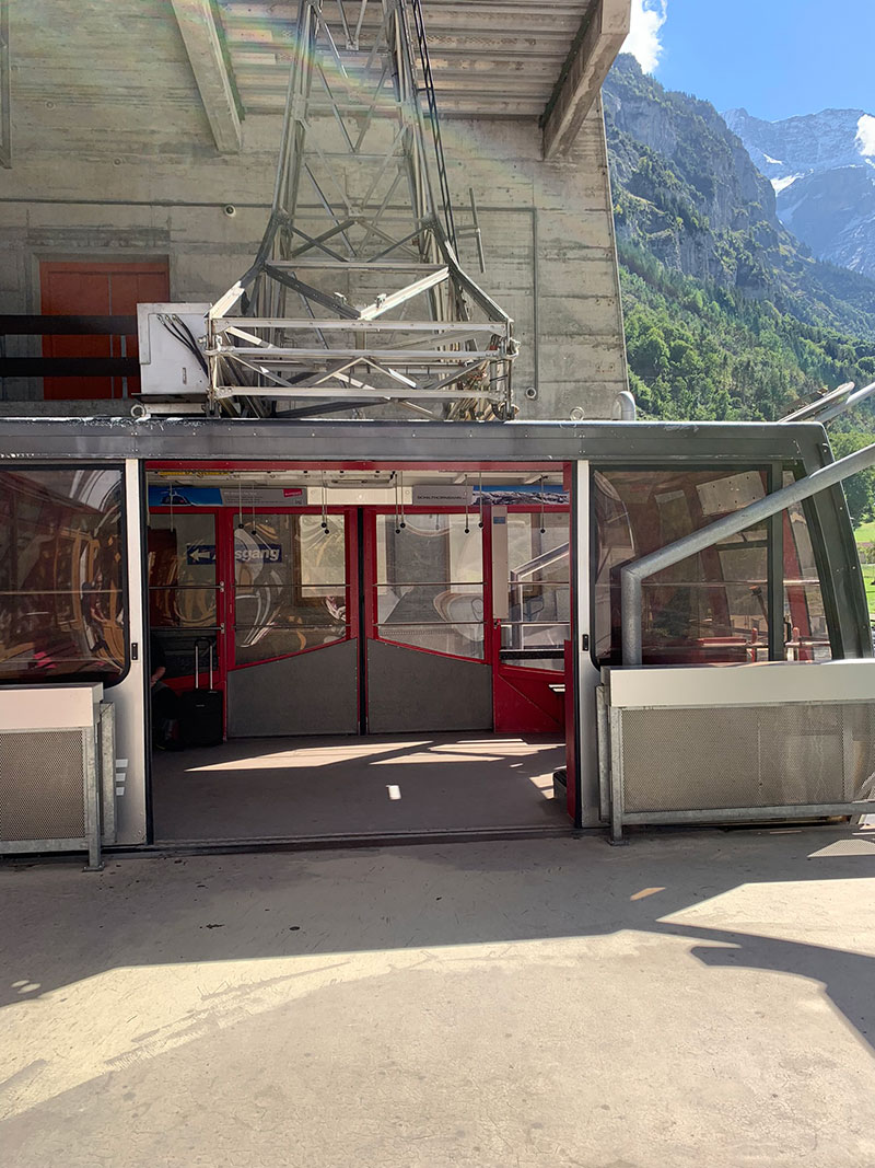
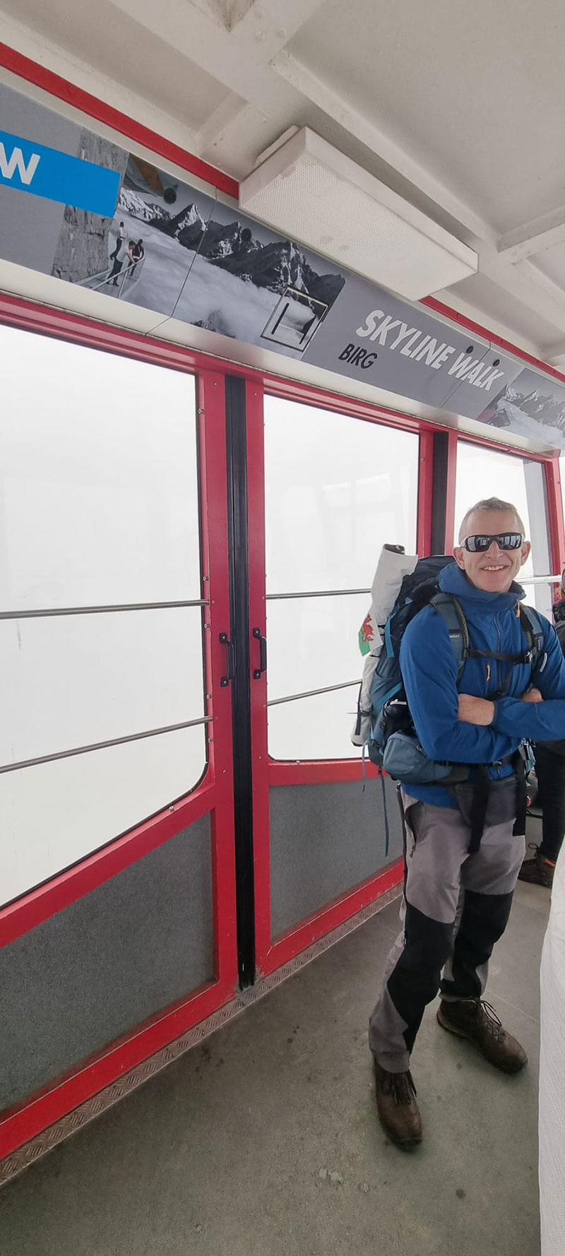
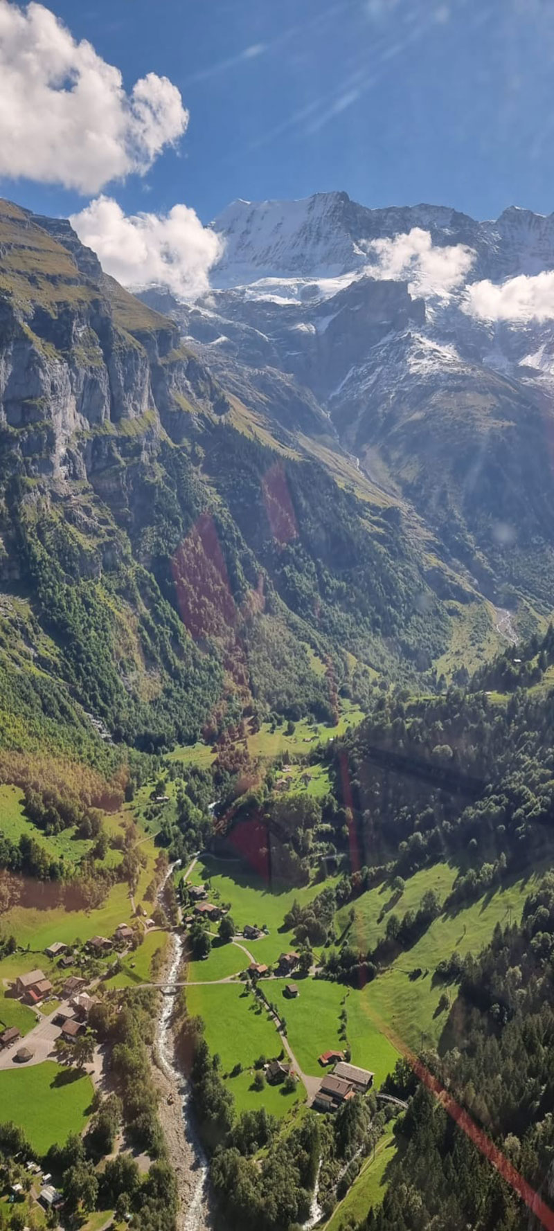
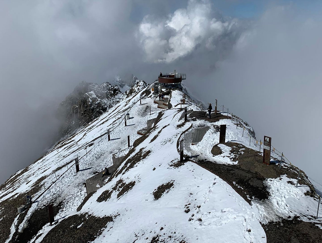
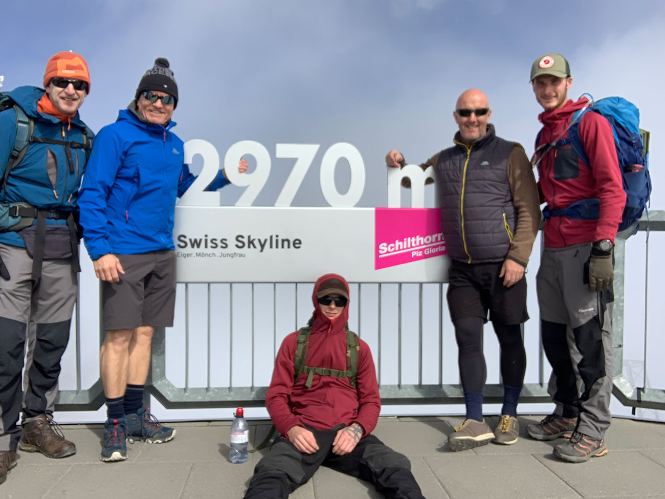
You arrive at Piz Gloria, and it’s an amazing structure, perched right on top of the mountain, and if there isn’t any clouds you will get to see the whole mountain range, and a member of staff up there told us you can see Mont Blanc on a good day, but we stayed patient and waited for the clouds to part here and there and we got some great pics.
You can wonder around the whole building inside and out, there no restrictions, and you can also have a meal in the restaurant which revolves 360 whilst you’re eating.
There is also a museum to the film ‘On Her Majesty’s Secret Service’, a cafe, a shop and plenty of viewing areas and places to walk to to get a different angle on things.
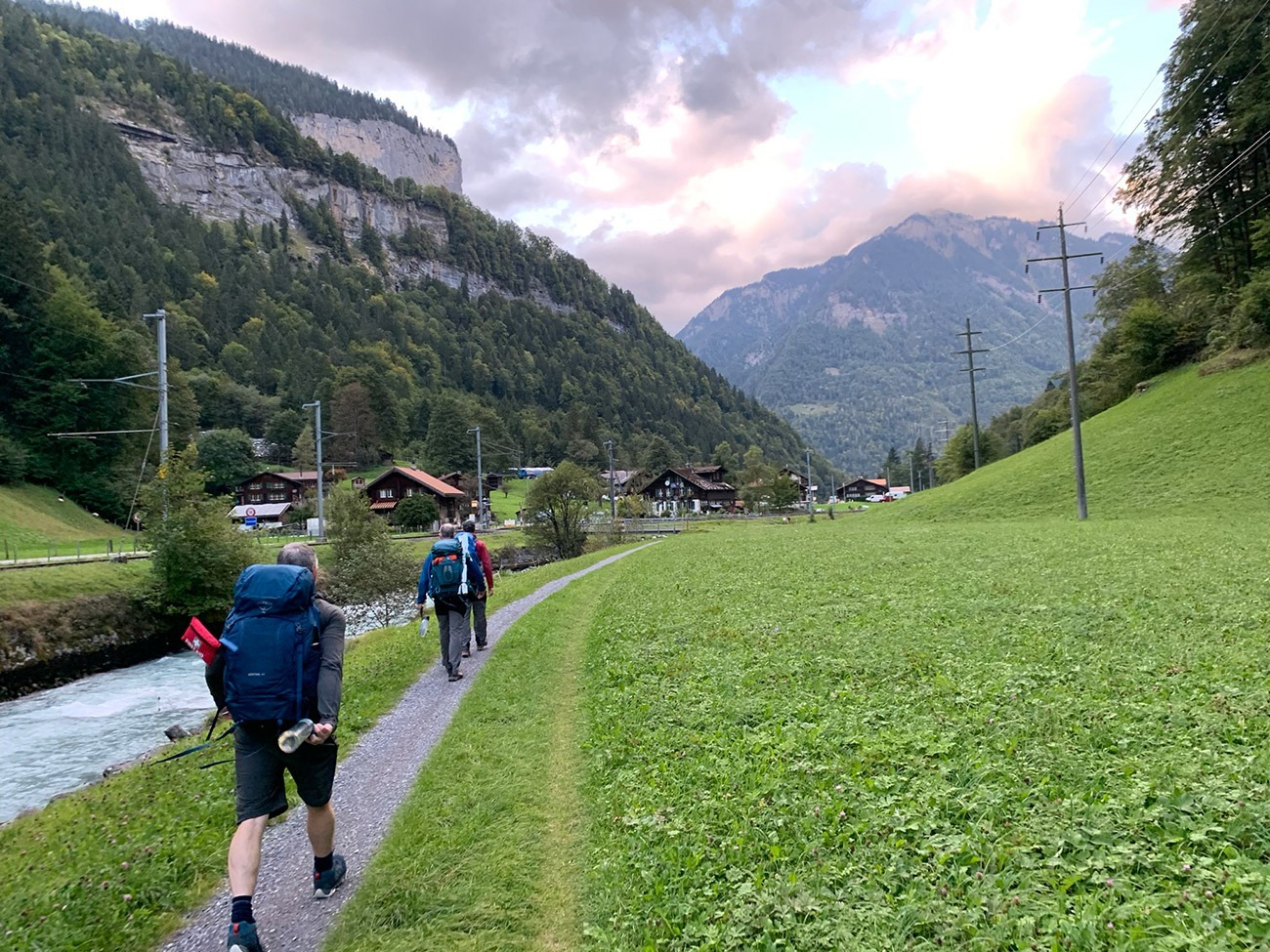
We spent nearly 4 hours up there, and then pretty much caught the last couple of cable cars down, we then set off back the same way we came to Lauterbrunnen, and then started our journey back to Interlaken. This should take around 3.5 hours, it’s slightly downhill all the way, and you follow the river all the way back.
We spent more time up the Piz Gloria than we thought we would, and as a result about half the way back it started to get dark, but we knew there was a train station called ‘Zweilutschinen’ not too far away. So, we caught the train back to Interlaken and as it was also our last night, we showered quickly and set back out to have a little celebration meal and drink.
I have included the final few pictures below of this walk back. The gpx file and route I have included in this post will get you from Lauterbrunnen to Interlaken, and you will also pass through the lovely town of Wilderswil, where we started off by catching the train to the Schynigge Plate.
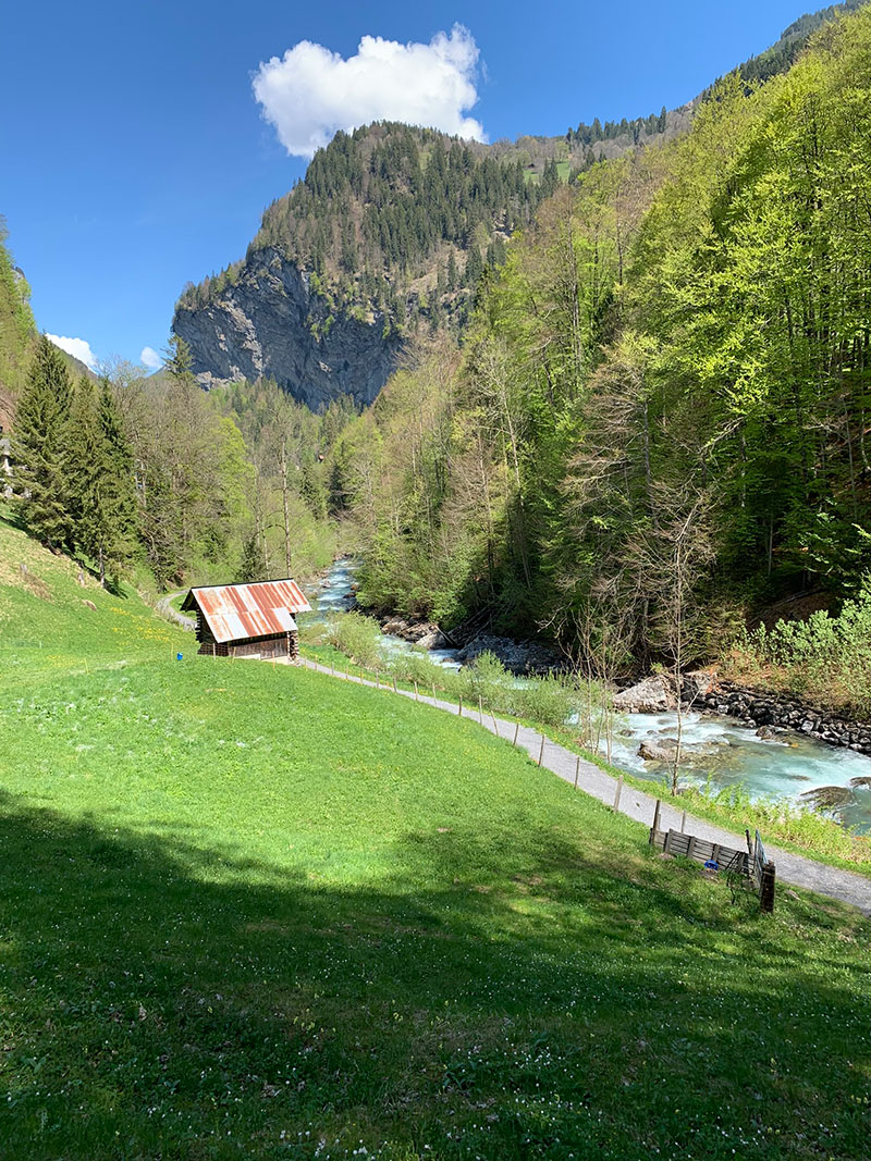
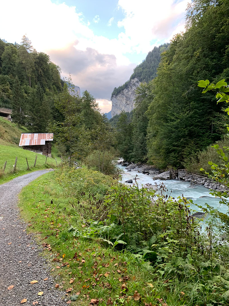
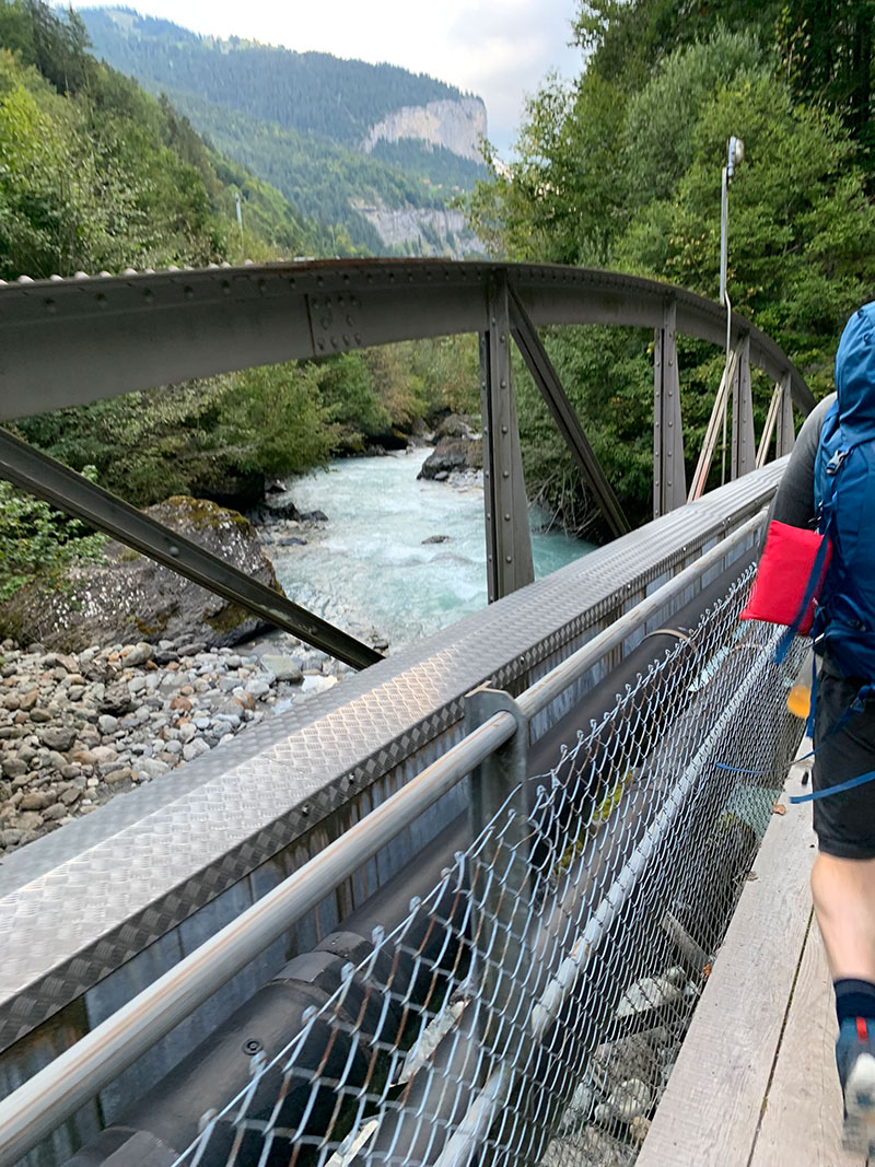
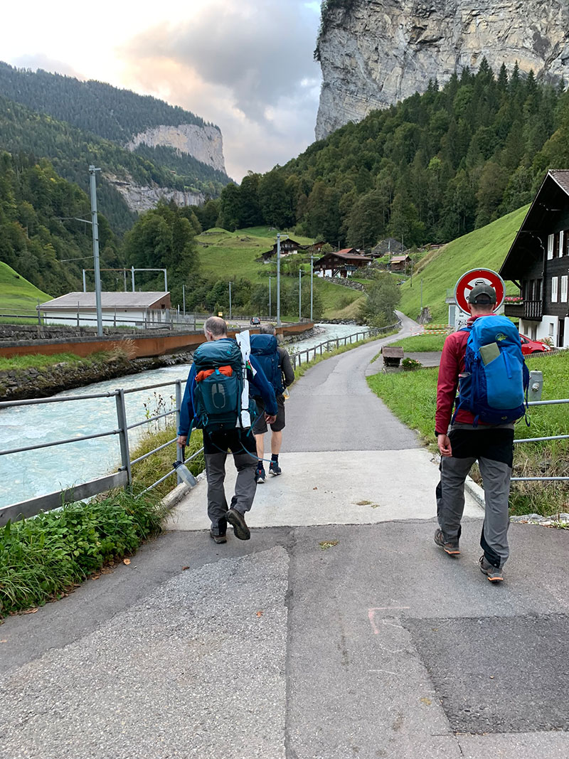
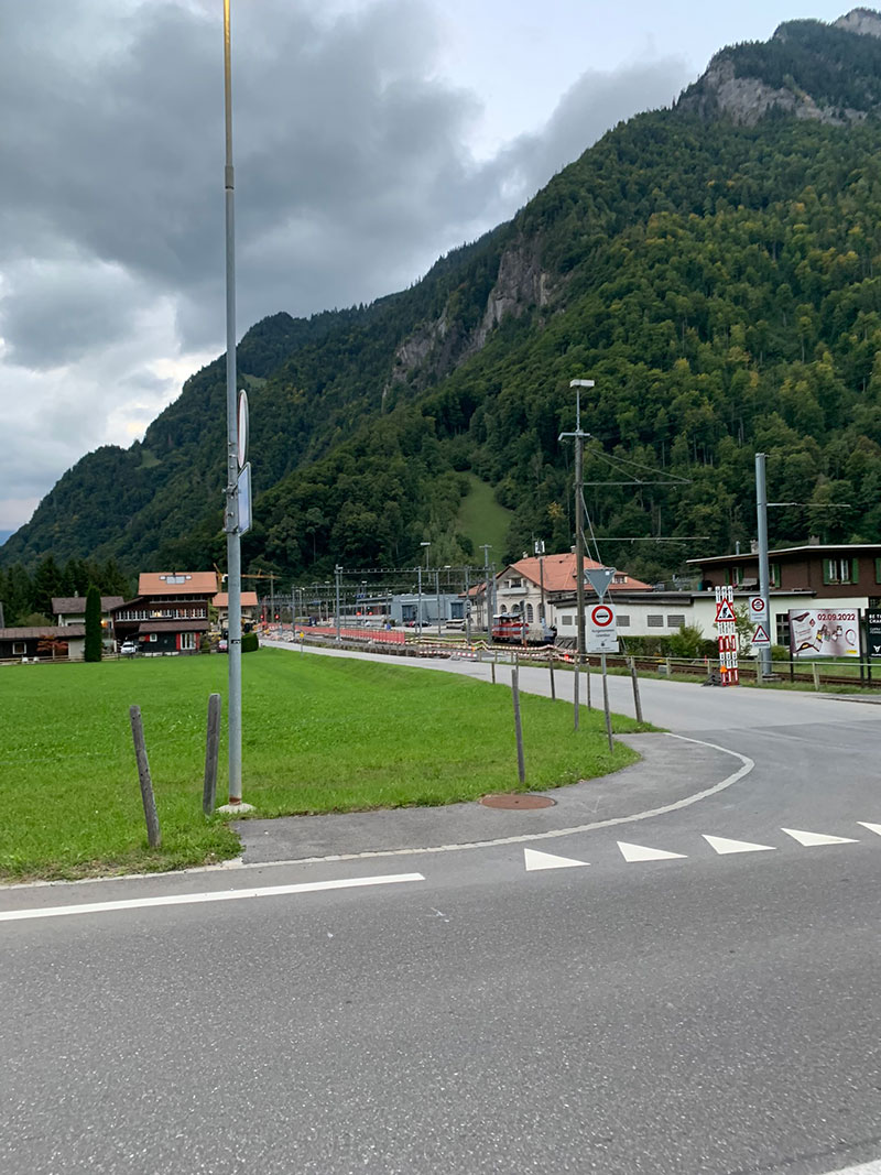
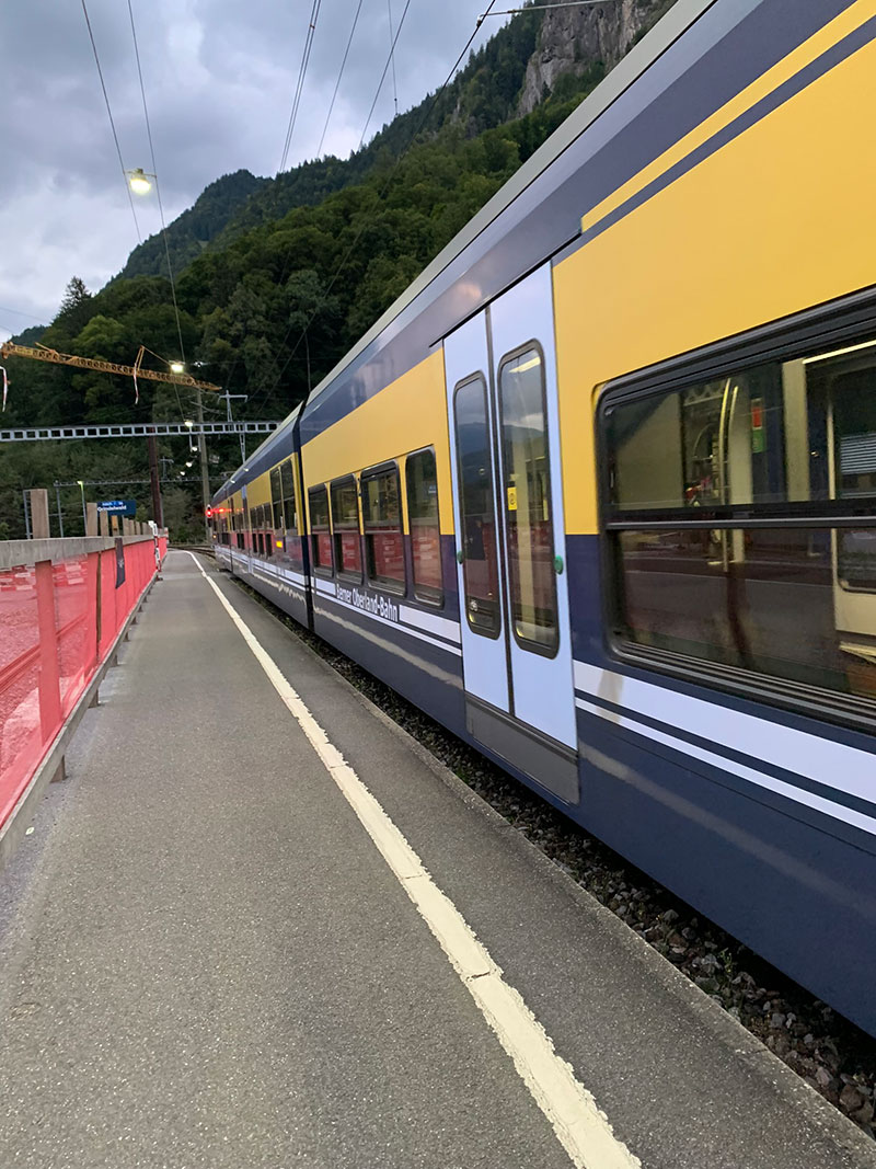
We returned to ‘Balmers Hostel‘ for the last night on this trip as we did on the first night, and we practically had the place to ourselves. We had a nice shower, a sit in the lounge for a little chat before heading out again.
If you are in Interlaken, consider staying at ‘Balmers’ as its a great hostel, and has loads of history, read my post about it here.
That’s it, you have completed Day 4, you’re eating your meal and having a well-earned drink, hopefully the weather has been good, and you have had another great experience.
It is worth downloading this route onto your outdooractive app, it’ll re-assure you time wise and that you’re not heading in the wrong directions. There is so much space up there and lots of alternative paths you could accidently join.
Hope you enjoy this walk, and I’d love it if you could share this post either with the social media buttons that follow you down the screen on your left, or below in the footer. Also, comments are very welcome, I love meeting new people and talking, and you never know we could meet up on one of our walks.
