Walk this route yourself in 3D!
The Video is a 3D walk through of this route, it will give you a unique sense of having walked through the route before you start.
I have created 3D Videos of my adventures and have shared them with the OutdoorActive community as well as my walking community.
Day 3 – Do not attempt if you have any health issues! There are options, such as trains to see the same sights. 10 out of 10 day.
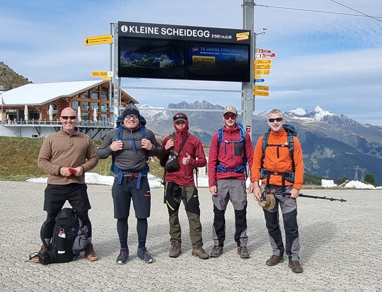
Having had a bit of pampering the day before, and a really good sleep, we filled up at breakfast, and also filled up our bags with Danishes, pastries, fruit and topped our coffee and water up and set off at around 10am, to walk up to the Kleine Scheidegg. There was no rush, it is a long day, but we worked out our times and it allowed us to get ready properly.
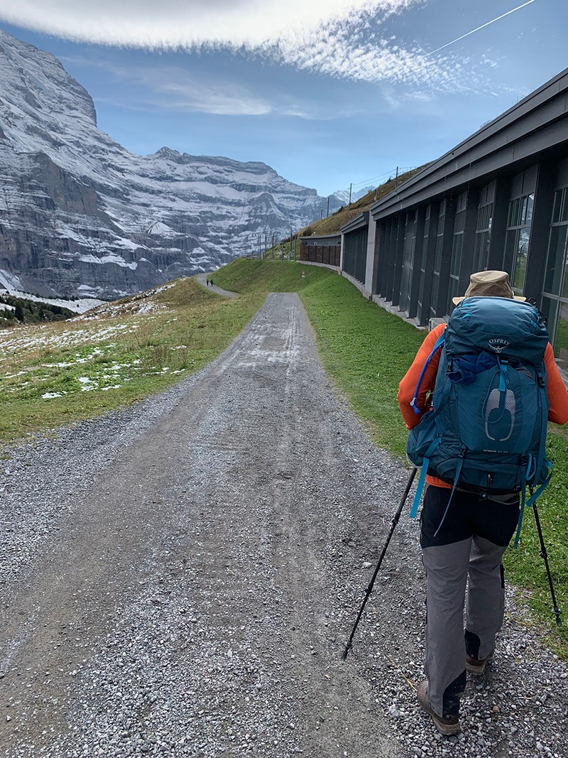
The walk ahead means you are walking literally in the shadow of The North Face of the Eiger, and you can peel off at one point and do the Eiger Trail which takes you up higher, but we didn’t have time as the plan was to walk down the other side to Lauterbrunnen. I think this was partly the right thing to do, but also part unnecessary on reflection, as I’ll explain when I get to it below.
But you just can’t even imagine what you’re walking to and the views that await you not only at the top, but going up and also a short distance down the other side.
This is a tough walk to the Kleine Scheidegg, especially with over 13kg’s on your back, not dangerous or anything just very steep in places and very long and winding, but that’s part of the challenge isn’t it.
Getting There: Directions, GPX and App Link
The Hiking app I use to plan the walks and to aslo guide me around is the ‘Outdooractive App‘, which has a free a Pro and a Pro+ version, the Pro version will allow you to download the routes to your phone, and use them without using up your data.
The reason I mention it is that if you were to download a route, they are FREE and you can find this link to this route in my hike listings. You can then follow the arrows and voice on your mobile, as most of these walks are a bit tricky to explain.
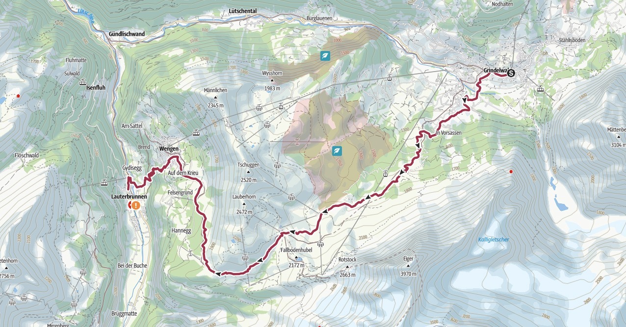
- Start anywhere in Grindelwald, head down to the river and cross over, stay to your left and you will start to see signs for ‘Kleine Scheidegg’. Signs all the way up.
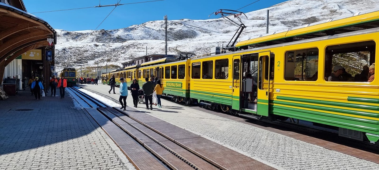
- There is a train station at the top to go back down to either town, or you can catch the train up also.
Navigation Aids:
Hike Map
Hike Profile
- Distance: 13m / 21km
- Duration: 9-10 hours (trains are an option to finish off the route, possibly the best idea)
- Highest point: 6765ft / 2061m (Kleine Scheidegg)
- Difficulty: Difficult (steep short path climbs), constantly climbing and winding around.
- Route conditions: Well-worn pathways all of the way around, good walking shoes are a must.
Hike Description & Pics
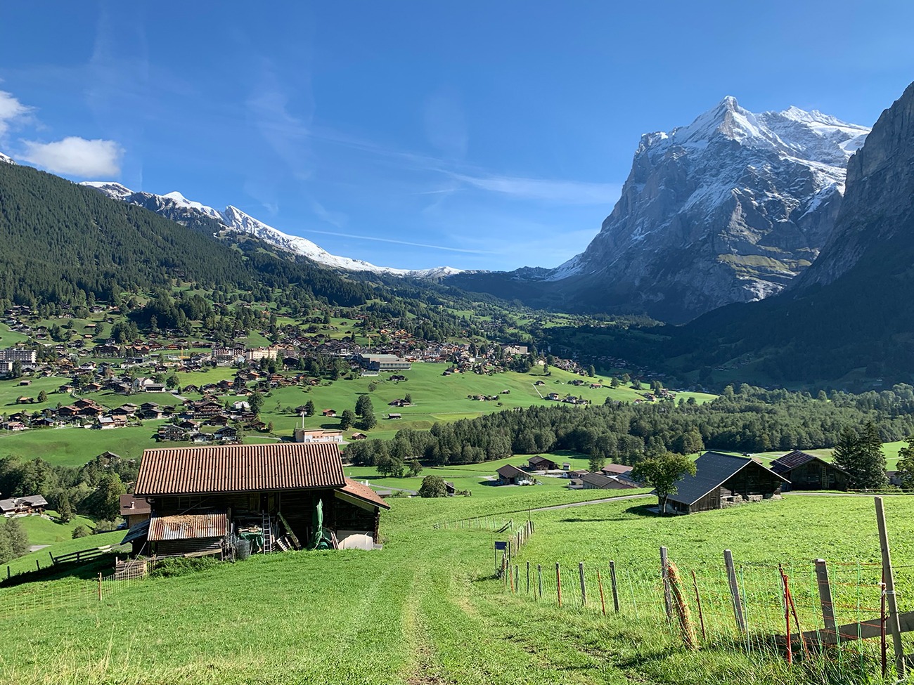
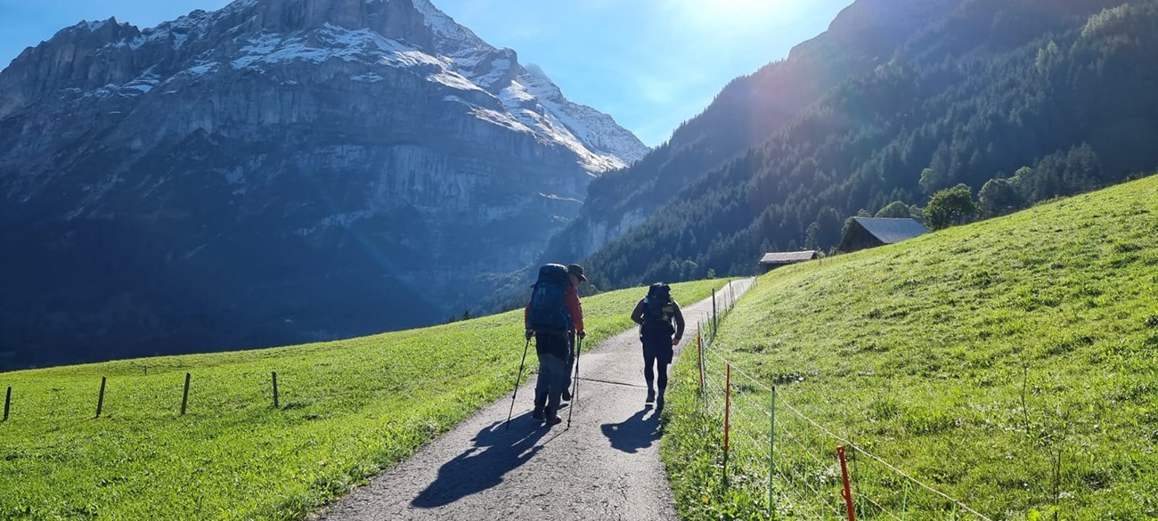
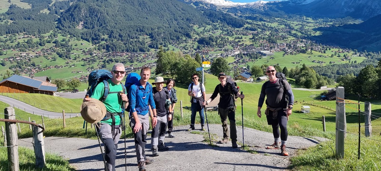
Grindelwald town is on one side of the river, and the path begins on the other side of the river, there are 2 bridges over but try and go over the one further up from the train station, this will start you off in the right place as you are basically keeping to the left of most of the homes on that side and then skirting up and behind them. I really do hope you get a really good sunny day, not too hot with the climb ahead, but in the sun, the grass looks so much greener, the valley sort of comes alive and the mountain range in front of you without cloud cover is spectacular, the same as the view behind you as you walk on up.
You can’t go much wrong really on this hike, it’s well signposted (Kleine Scheidegg), as it winds up the mountain along roads and paths. But you’ll find yourself stopping quite often, and then looking at where you have walked from, by the end you will not believe how far you have walked!
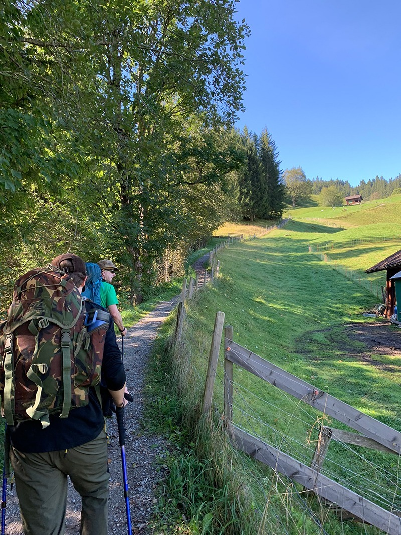
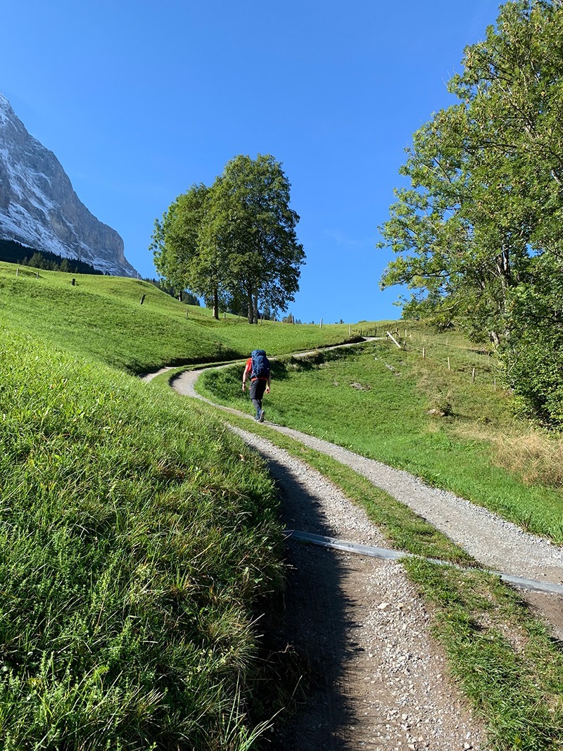
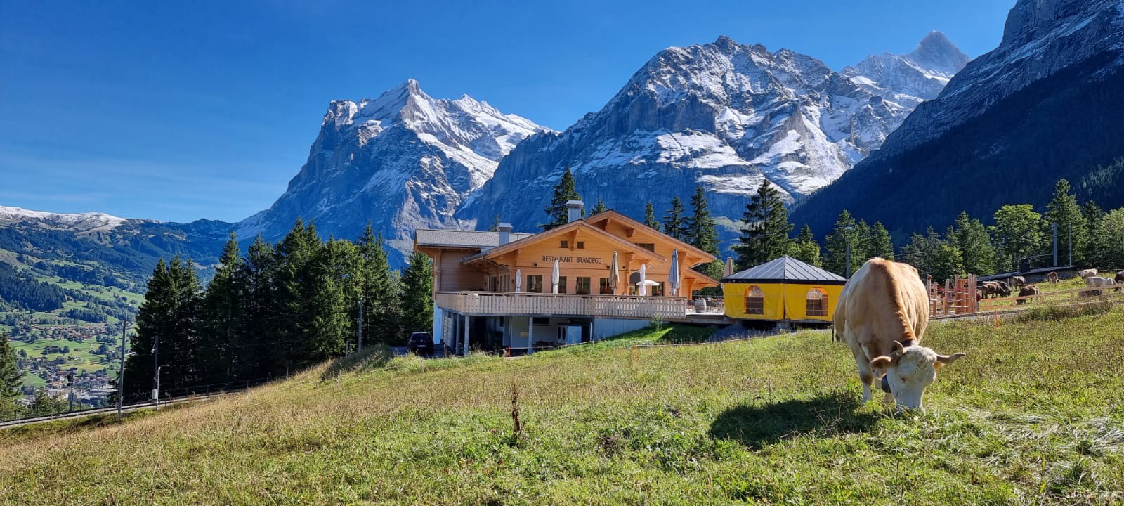
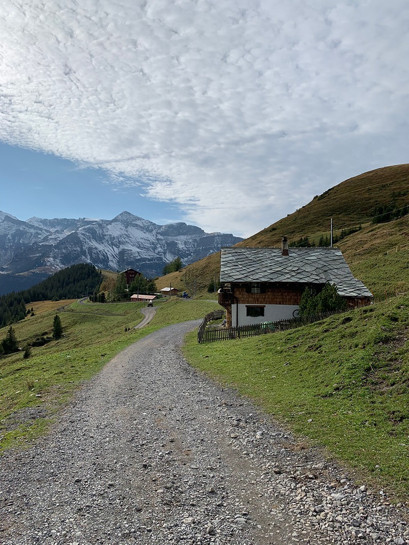
After a couple of hours you will leave the bottom part and then start moving into the middle part, where there are no homes to pass, but you will get the odd barn, you’ll see some of the trains going up and down, you can have a bit of fun giving everyone a wave as you’re walking up and tired, and they’re sat on the train with their coffee’s, but it’s great fun, and people do enjoy a bit of a wave, and we got the train driver to give us a toot also, they say men never grow up, we loved it!
On the way you will see the odd person walking up with you, but mostly everyone is walking down, and there are opportunities to get out of the sun and have a drink in the shade, take the bag off and again have a look behind you and take some pics. We bumped into 3 Chinese students, all very intelligent as they were studying at MIT, and I’m sure they benefitted greatly from 5 Welsh boys’ words of wisdom, we will never find out!
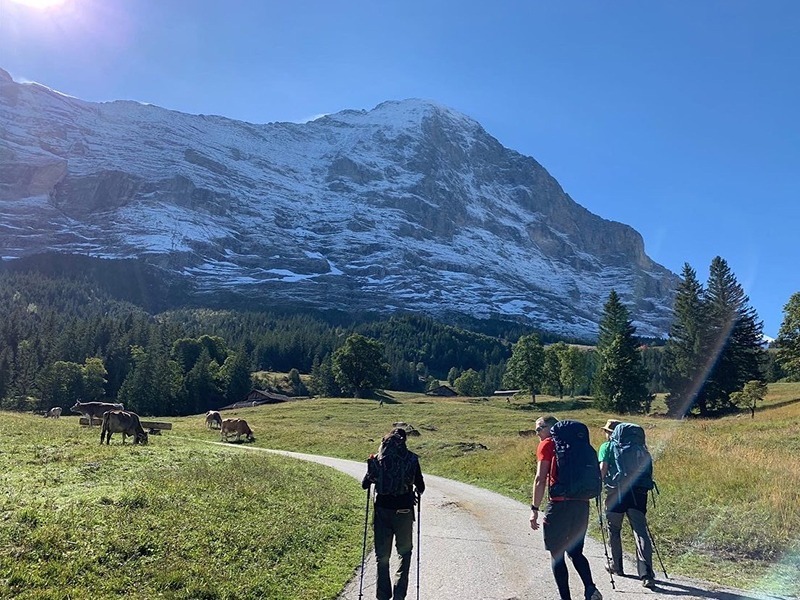
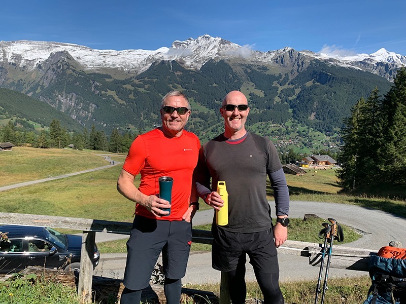
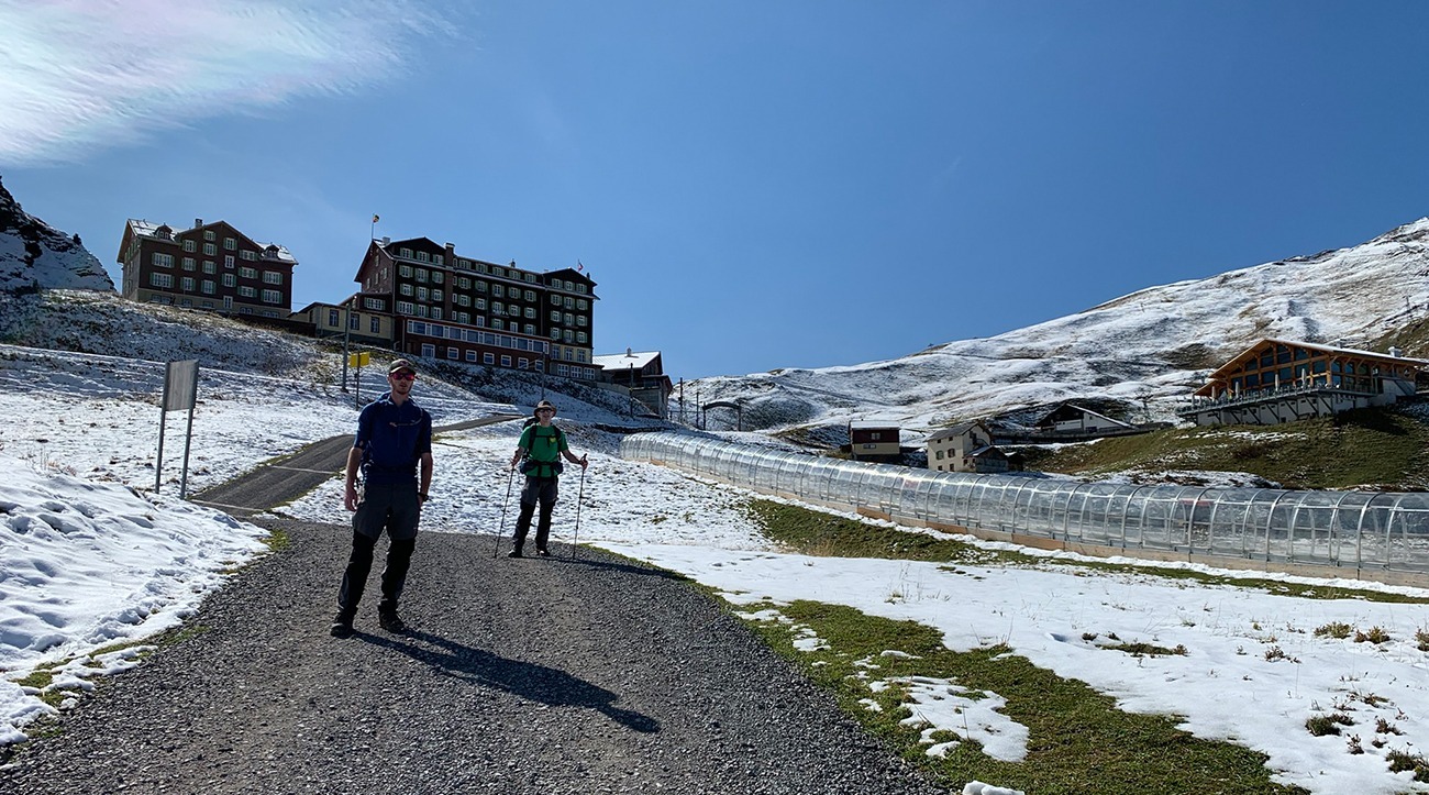
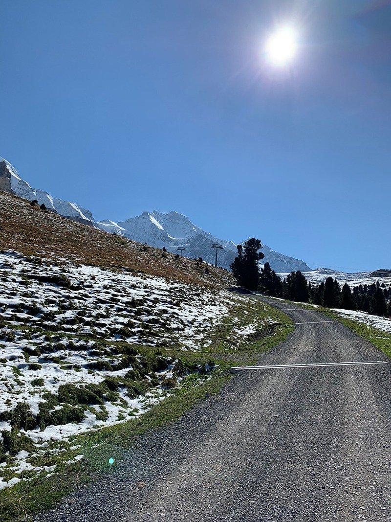
The last 3rd of the hike up and your always getting closer and closer to The North Face of the Eiger, you will start to feel a bit colder and there could be a bit of snow in places, it’s still very steep but you do also have long stretches of flat, but don’t get carried away as just around the corner is another steep climb, but depending what time you started out you will start to fall into the shade of the Eiger, but the end is in sight.
Just as a side note, if you are not in a rush, which could be helped by catching the train to Lauterbrunnen you can peel off and start the Eiger Trail, we did start but had to turn around as we decided we just didn’t have enough time, but it’s worth planning into your route, as this is different level experience. I am even tempted to say it’s better to walk the Eiger Trail from top to bottom, it’s difficult in places but worth it, shame we didn’t finish it off really.
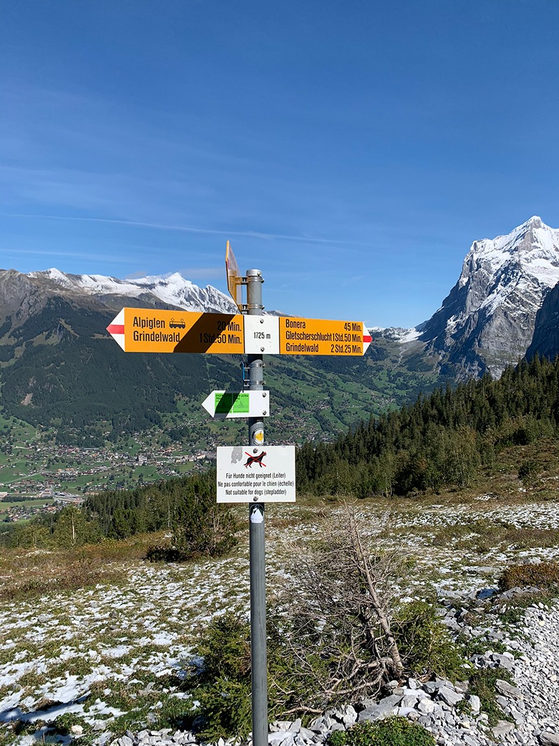
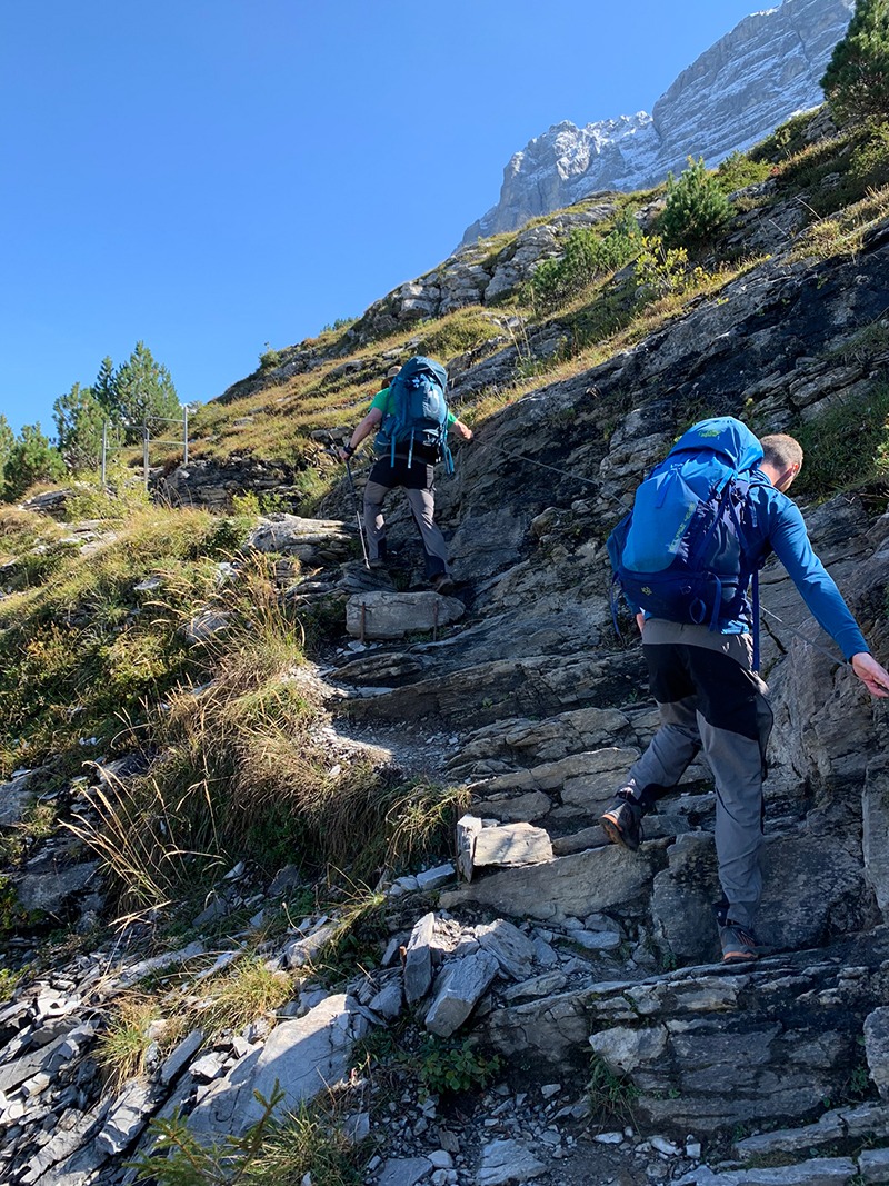
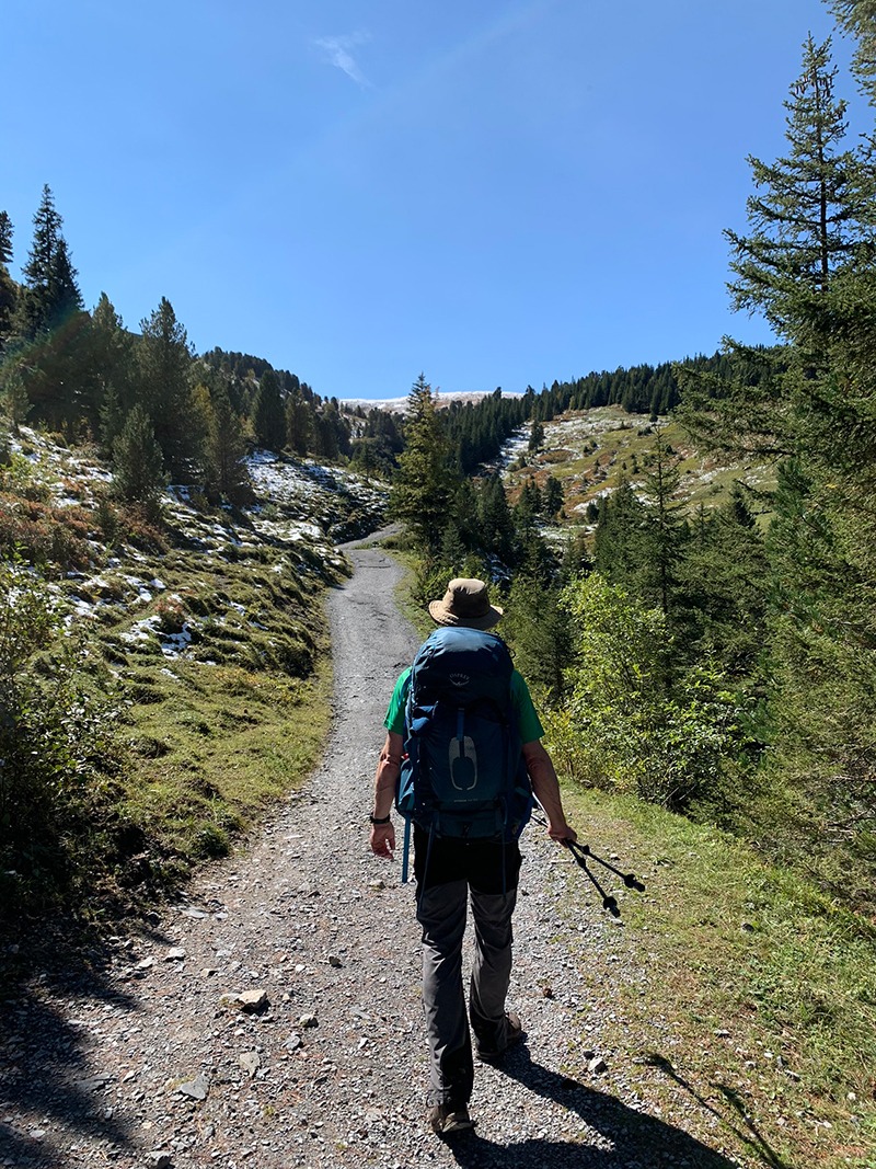
The final part, and the Kleine Scheidegg and all the buildings start to come into view, one of the first things you will see is the back of ‘Hotel Bellevue des Alpes‘, a beautiful building in an amazing spot, I’d love to experience this hotel in the winter if it’s possible.
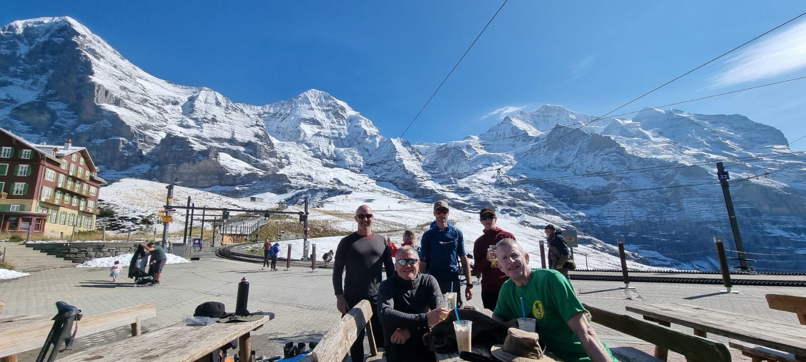
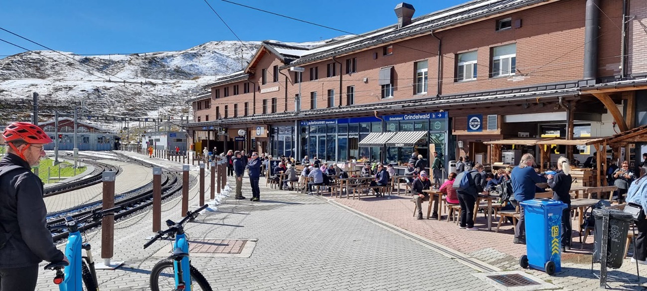
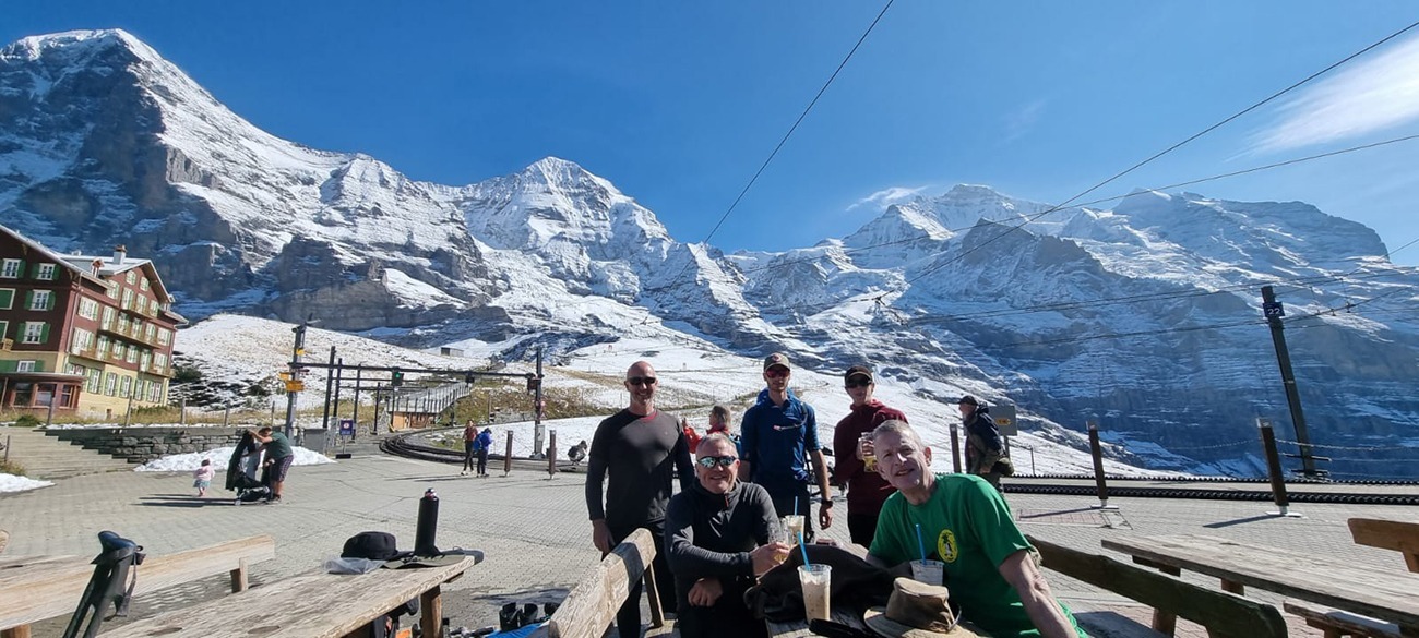
So we finally reached the top, found a table in the sun, offloaded our bags, got an iced coffee and couldn’t believe the mountains and the views, it truly is breath-taking, unbelievable really! Next to the hotel is the train station, a cafe, toilets, a shop and a restaurant, just the best views also of the mountain range behind the Eiger.
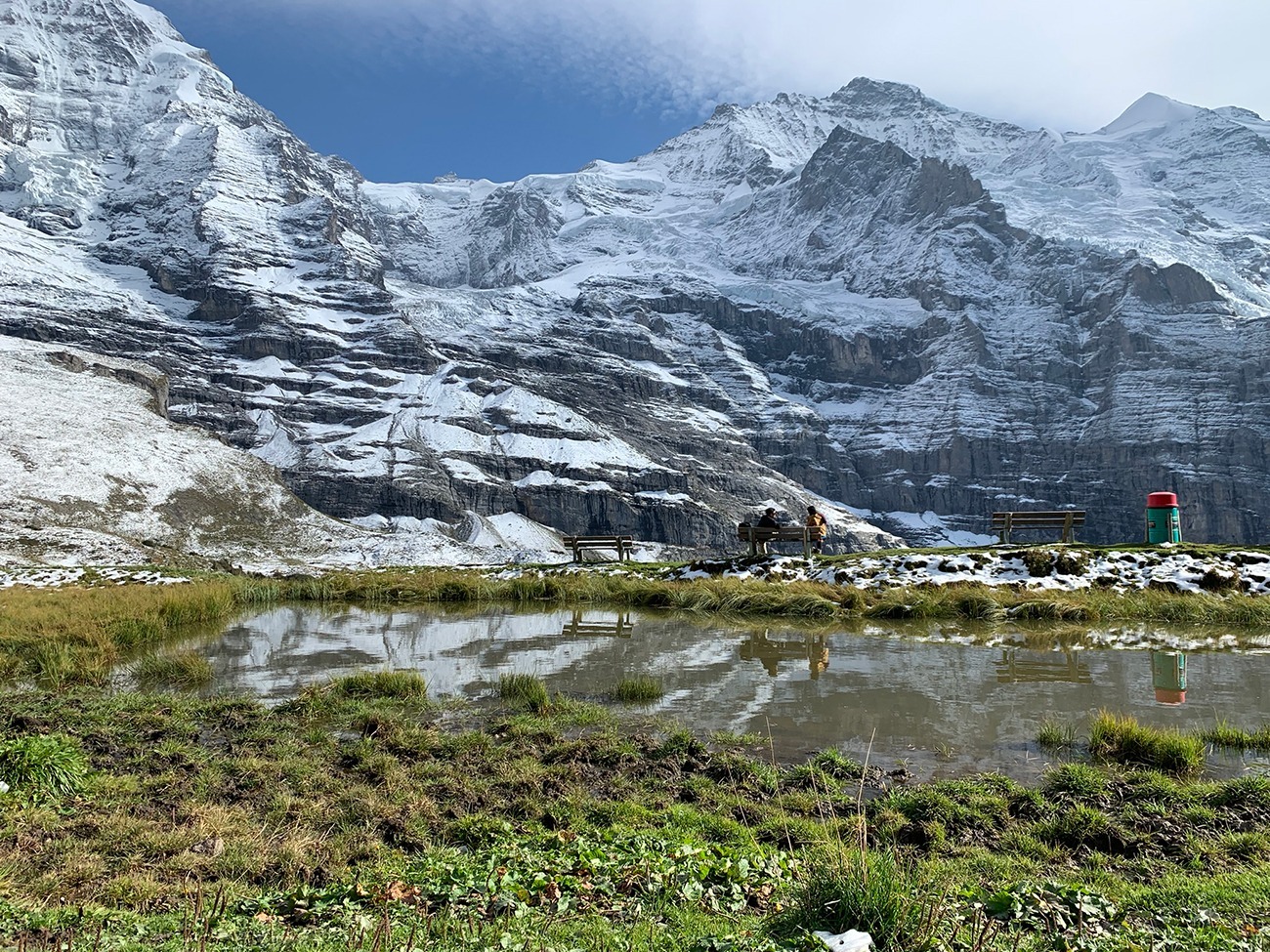
So, at this point you have a choice to make, and I think if I was to do it again, I would not walk all the way to Lauterbrunnen, which we nearly did, but what I would do is follow the path down the other side as you have to take in the mountains on your left. Once you have left the Kleine Scheidegg behind, there is a few benches facing the mountains and we got very lucky, as we got to experience a small avalanche. It’s amazing how loud a little one is, but that was our first avalanche and we loved it.
You could jump straight on the train from the top and be down in Lauterbrunnen in 30 mins, but there is a small station just past these benches and it probably is a good idea to catch the train from here down, we walked all the way to Wengen and it was very steep most of the way and the path is small stones so a bit slippery, and in fairness you don’t get to see much more other than hillside and trees.
One thing I am 100% of, having reached Wengen, I wouldn’t bother walking the final part to Lauterbrunnen, it’s unbelievably steep, but don’t let me spoil your adventure.
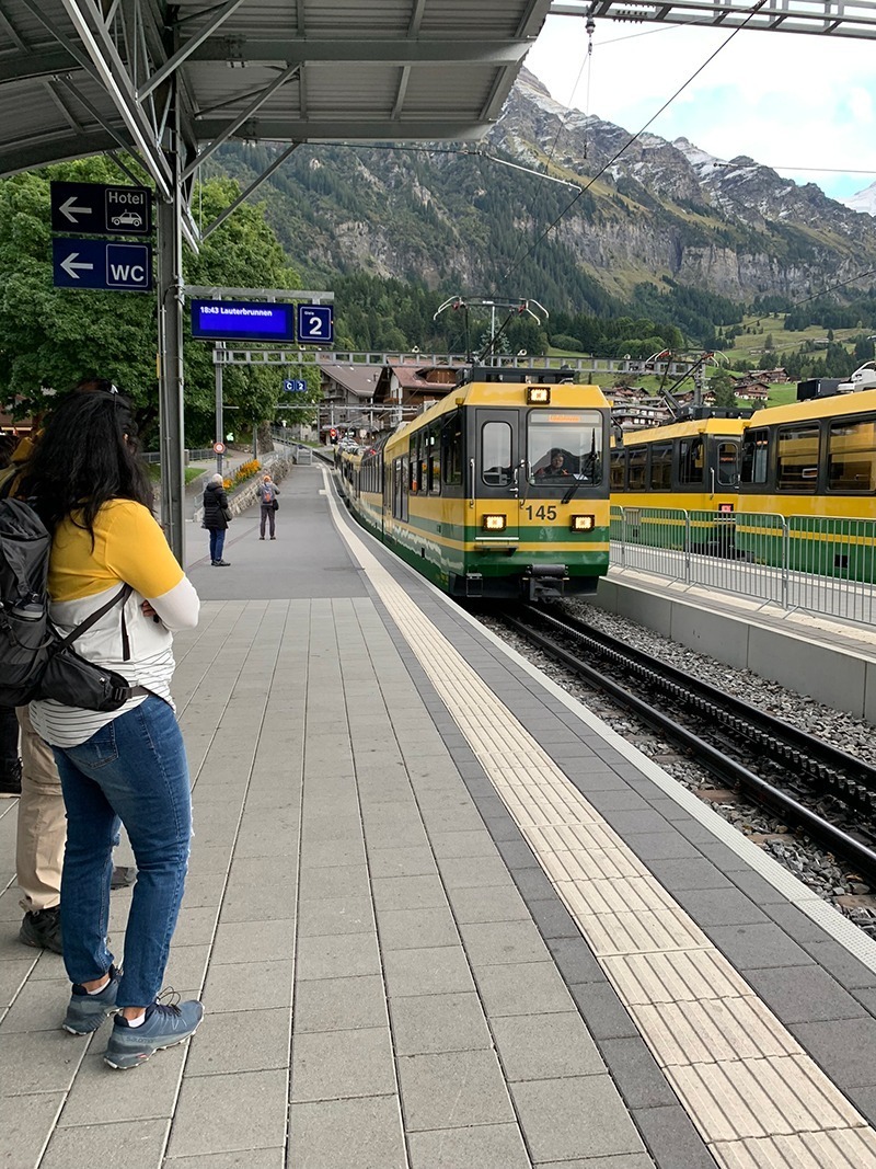
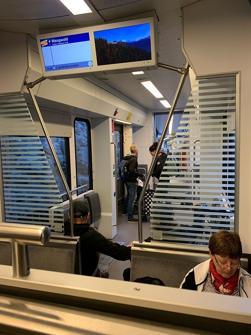
So, we are coming to the end now, arriving in Wengen train station with 2 minutes to spare to catch the train to Lauterbrunnen, to say we where happy to see the train is an understatement. By this point we were very tired, our feet, backs and shoulders where very sore, but what a day and an incredible experience.
Having arrived in Lauterbrunnen, we checked into the Valley Hostel, I have written a post about the hostel here, we dumped our bags off and went for a well earned pint and food at the Horner Pub, the only pub in the town and it’s just up the road. I stayed here previously, so have a post about the place here, it’s really good. We then went back to our rooms, showered, chatted and fell asleep.
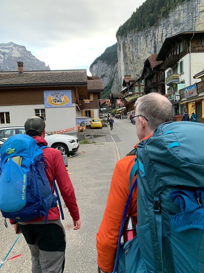
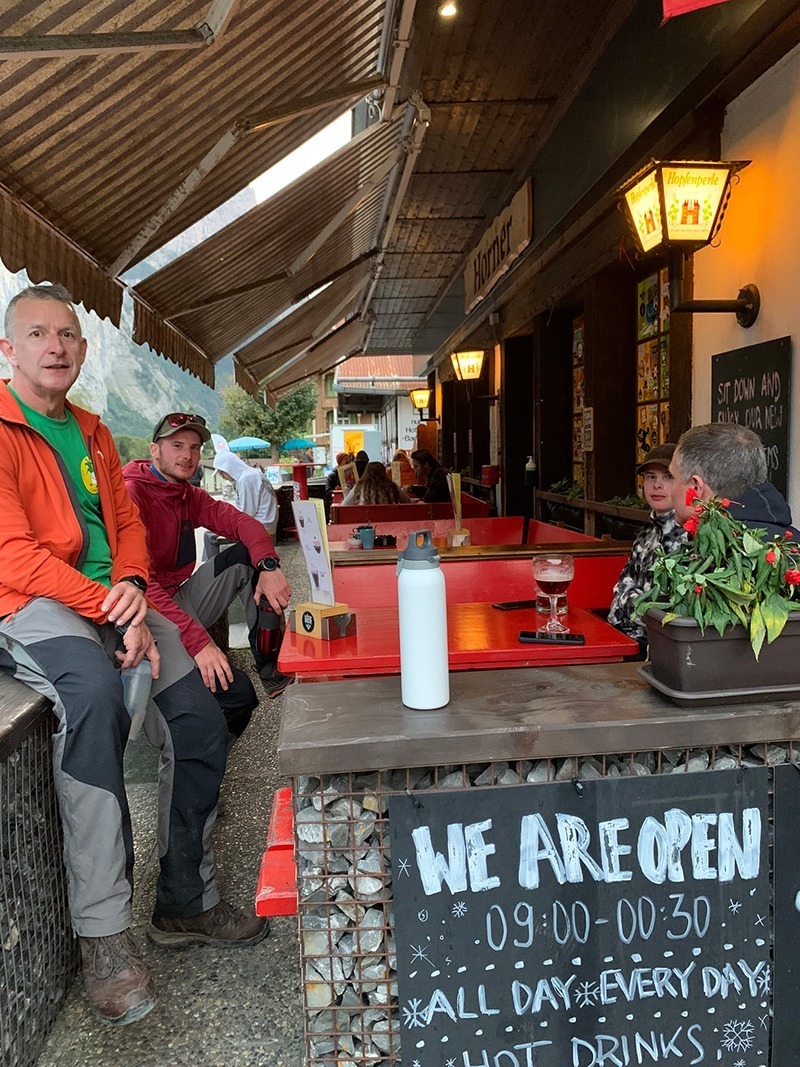
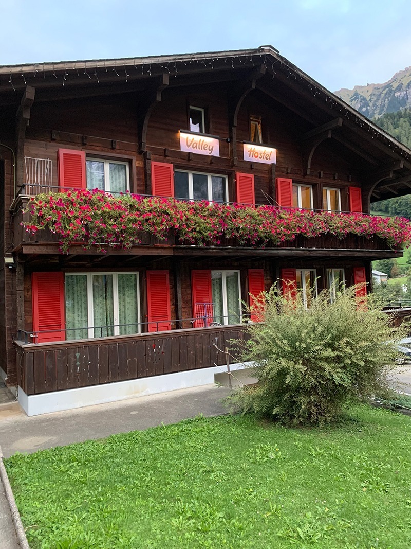
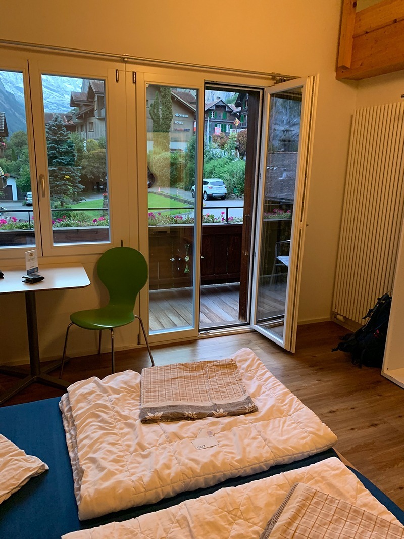
That’s it, you have completed Day 3, you’re at the hostel, hopefully the weather has been good, and you have had a great experience.
It is worth downloading this route onto your outdooractive app, it’ll re-assure you time wise and that you’re not heading in the wrong directions. There is so much space up there and lots of alternative paths you could accidently join.
Hope you enjoy this walk, and I’d love it if you could share this post either with the social media buttons that follow you down the screen on your left, or below in the footer. Also, comments are very welcome, I love meeting new people and talking and you never know we could meet up on one of our walks.
