Walk this route yourself in 3D!
The Video is a 3D walk through of this route, it will give you a unique sense of having walked through the route before you start.
I have created 3D Videos of my adventures and have shared them with the OutdoorActive community as well as my walking community.
Chepstow itself although at the foot of the Wye Valley, hasn’t many actual hikes where you can get a climb out of it, and lots of historic and really interesting sights, but this one is really special and has lots to look at and as it passes through Chepstow town centre, you have the coffee places, pubs, restaurants and shops.
We started out from Chepstow leisure centre, walked down through the town, did the circular hike, then had a coffee by the River Wye, and walked back past Chepstow Castle, up Welsh Street hill back to the car. Didn’t take long, so it’s perfect for a nice short walk, with a bit of a challenge to it for sure in places.
Getting There: Directions, GPX and App Link
The Hiking app I use to plan the walks and to aslo guide me around is the ‘Outdooractive App‘, which has a free a Pro and a Pro+ version, the Pro version will allow you to download the routes to your phone, and use them without using up your data.
The reason I mention it is that if you were to download a route, they are FREE and you can find this link to this route in my hike listings. You can then follow the arrows and voice on your mobile, as most of these walks are a bit tricky to explain.
- We started out in ‘Chepstow Leisure Centre‘, it has free parking, and the hill walk back gets the lungs working again. I have added the google maps link, but this is the postcode if you prefer to write it down – ‘Welsh St, Chepstow NP16 5LR’
Navigation Aids:
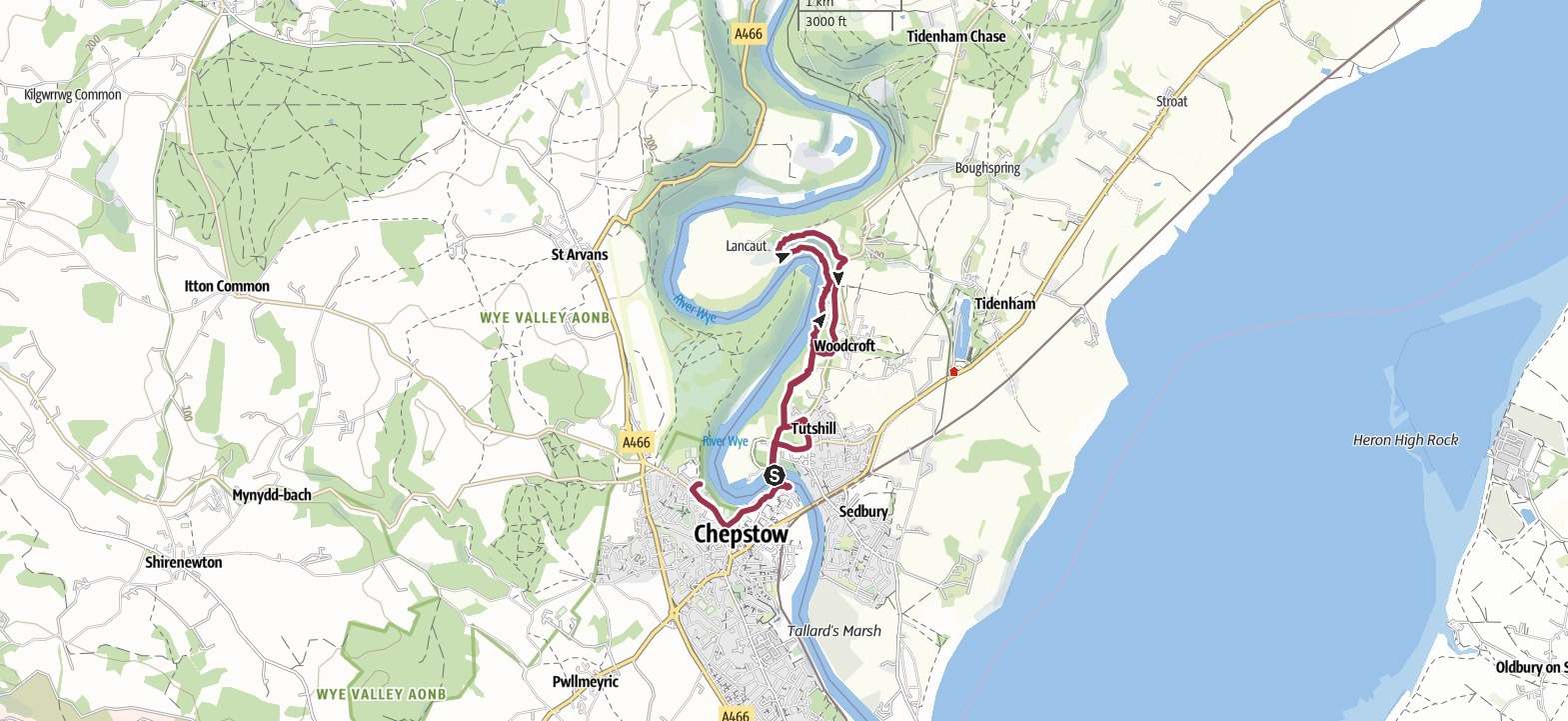
Hike Map
Hike Profile
- Distance: 6m / 10km
- Duration: 3-4 hours
- Highest point: 384ft / 117m
- Difficulty: Moderate (steep short climbs), sometimes loose terrain and there is big rocks to climb over by the water.
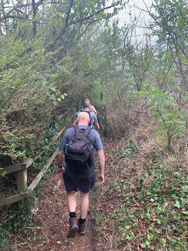
- Route conditions: Well-worn pathways most of the way around, good walking shoes are a must.
Hike Description & Pics
To help extend this walk a little and to also take in different parts of Chepstow, we decided to start and park in Chepstow Leisure Centre, it was a Sunday so it was very quiet and it’s always free, so that’s a bonus also. The centre is based at the top of ‘Welsh Street‘ and as you leave the car park if you turn left down the hill, you are on your way and we walked all the way to ‘The George’ pub then turned left to walk down through the town centre.
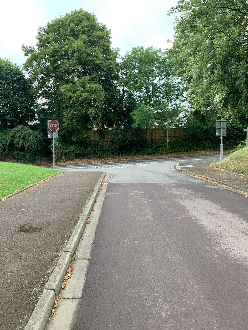
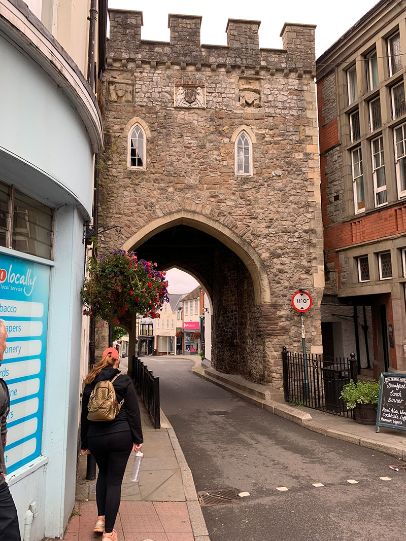
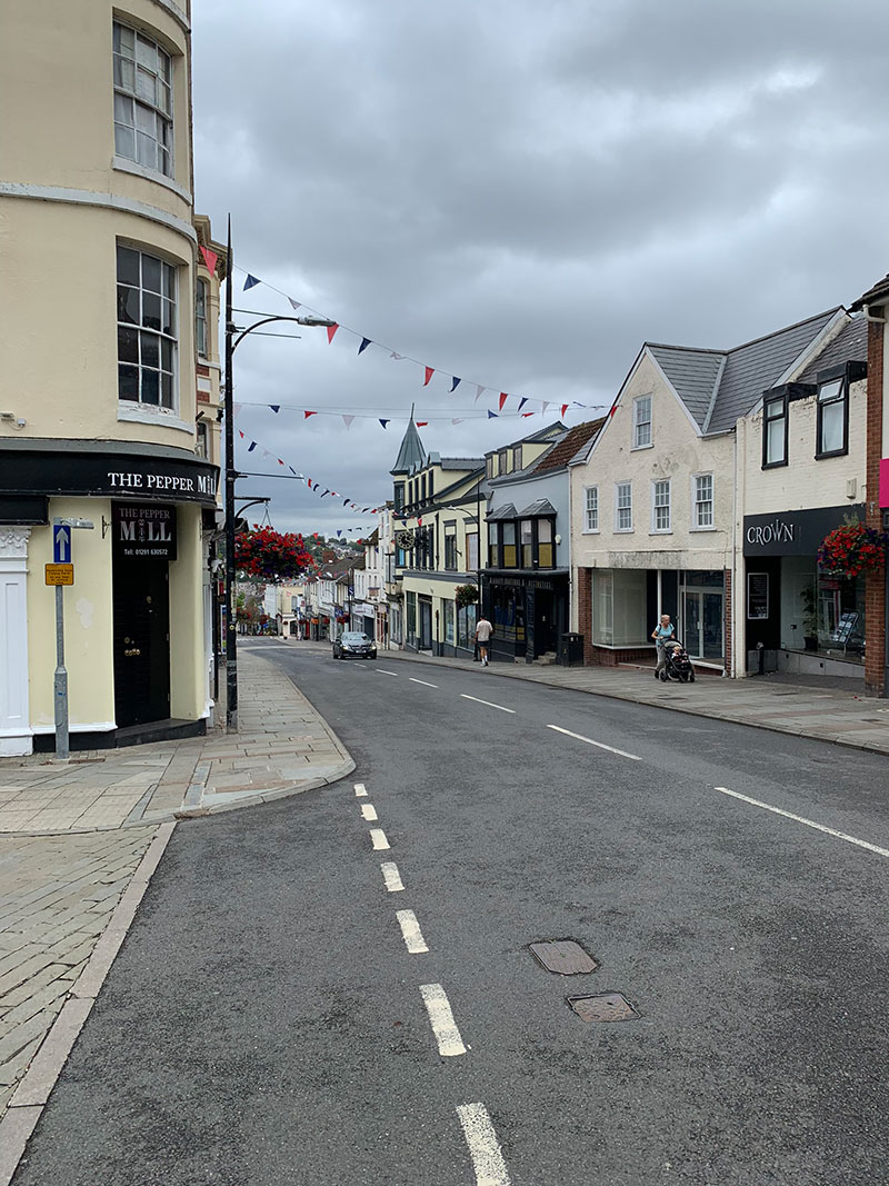
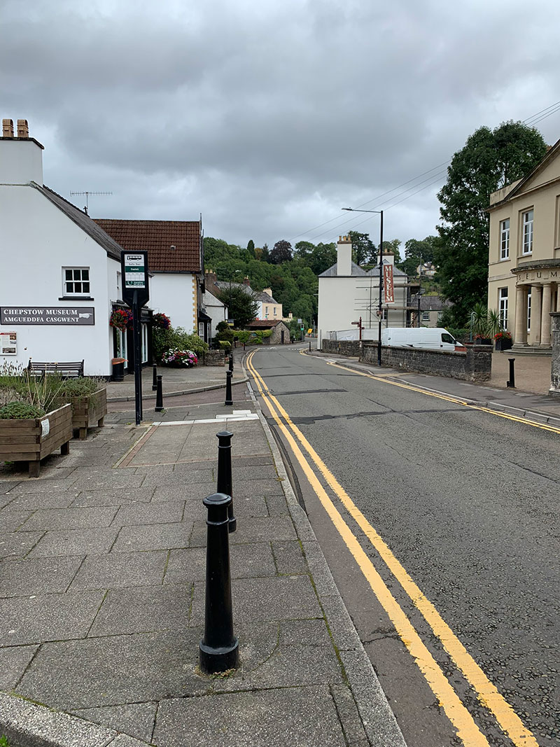
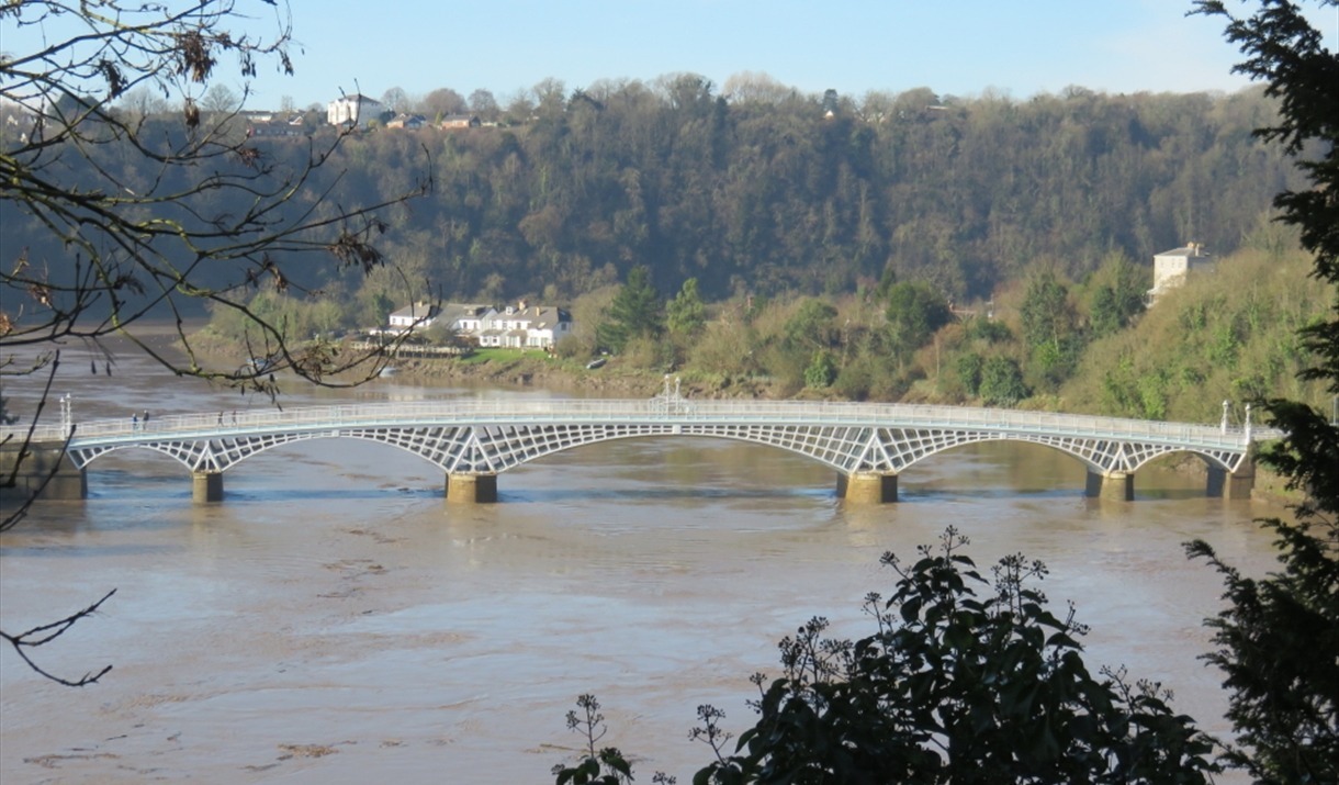
If you fancied an early coffee there are plenty of coffee shops, and if you stay on the left side of the town all the way down, you will arrive at the bottom, to cross over the River Wye, over the beautiful ‘Old Wye Bridge‘, you are then leaving Wales and walking over to England.
Chepstow Bridge is the World’s largest iron arch road bridge from the first 50 years (1780-1830) of iron and steel construction. The bridge was first opened on the 24th July 1816, and is an architectural marvel and feat of engineering that has stood the test of time.
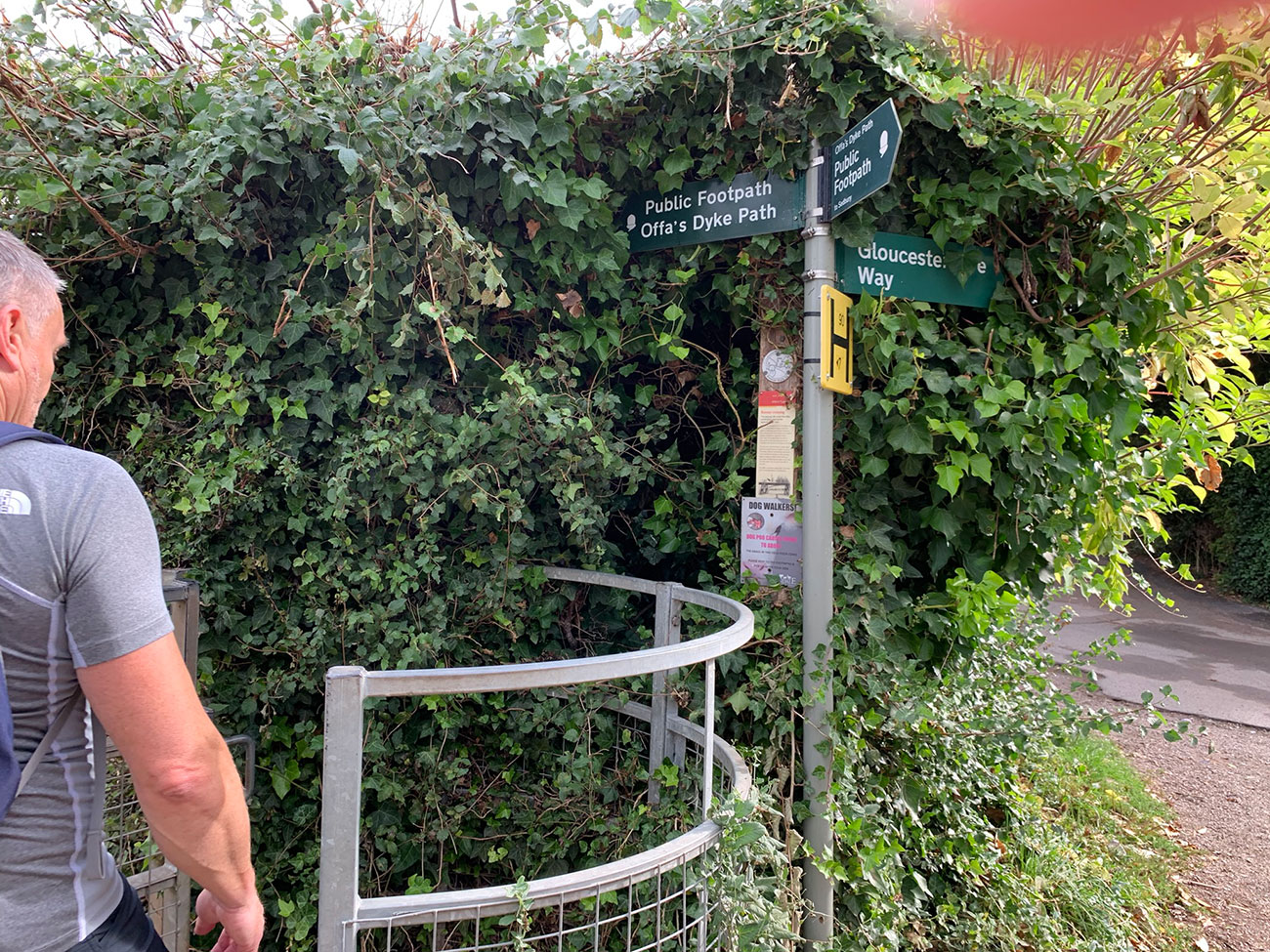
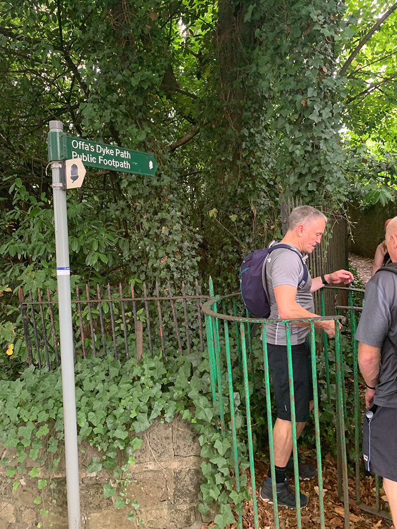
Once over the river, you will see a steep road bend around, but opposite there is a walkway with steps leading up between houses. Walk up to the top, cross the road, follow a lane until you see your first sign for the start of the ‘Offas Dyke Path’. You will then walk into a field, passing a lovely white house on the right, and just follow the well walked path until you reach the corner of the field, where a gap will appear between 2 brick walls.
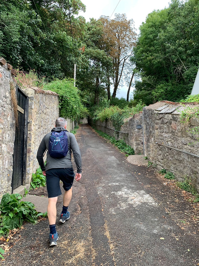
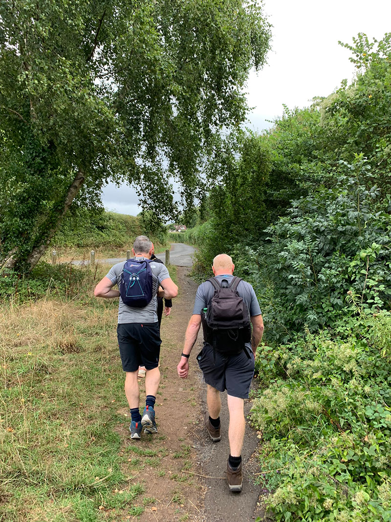
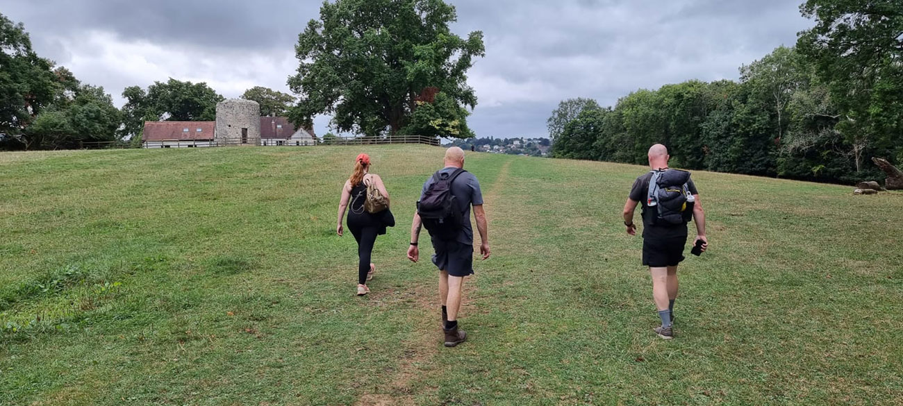
This is a beautiful open space and it’s very peaceful with some stunning tree’s and views of the area, the area is well looked after and on return you will walk back through this field, back to Chepstow.
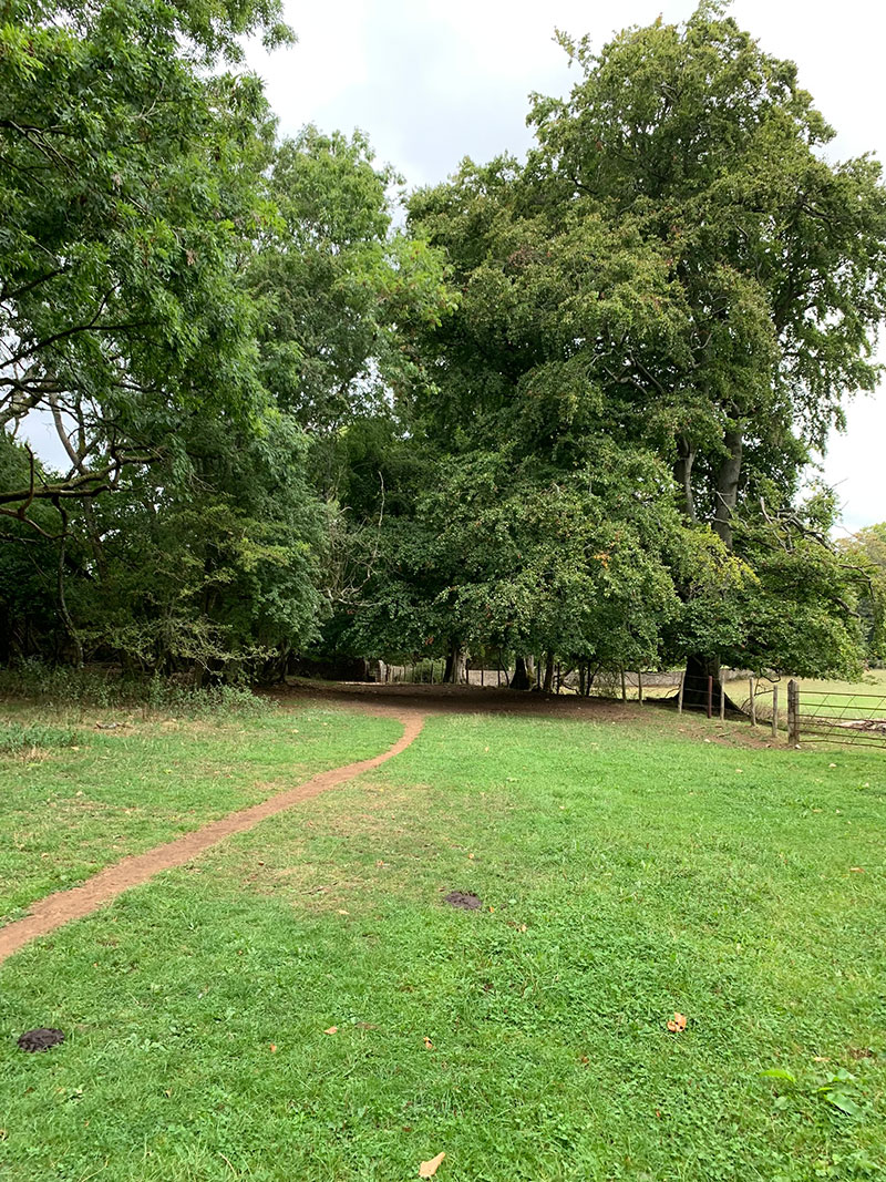
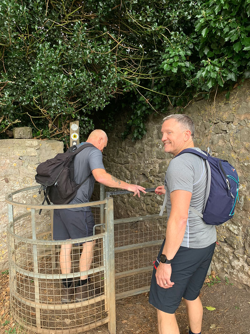
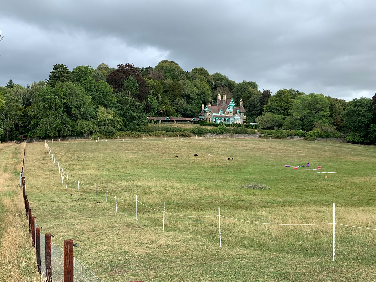
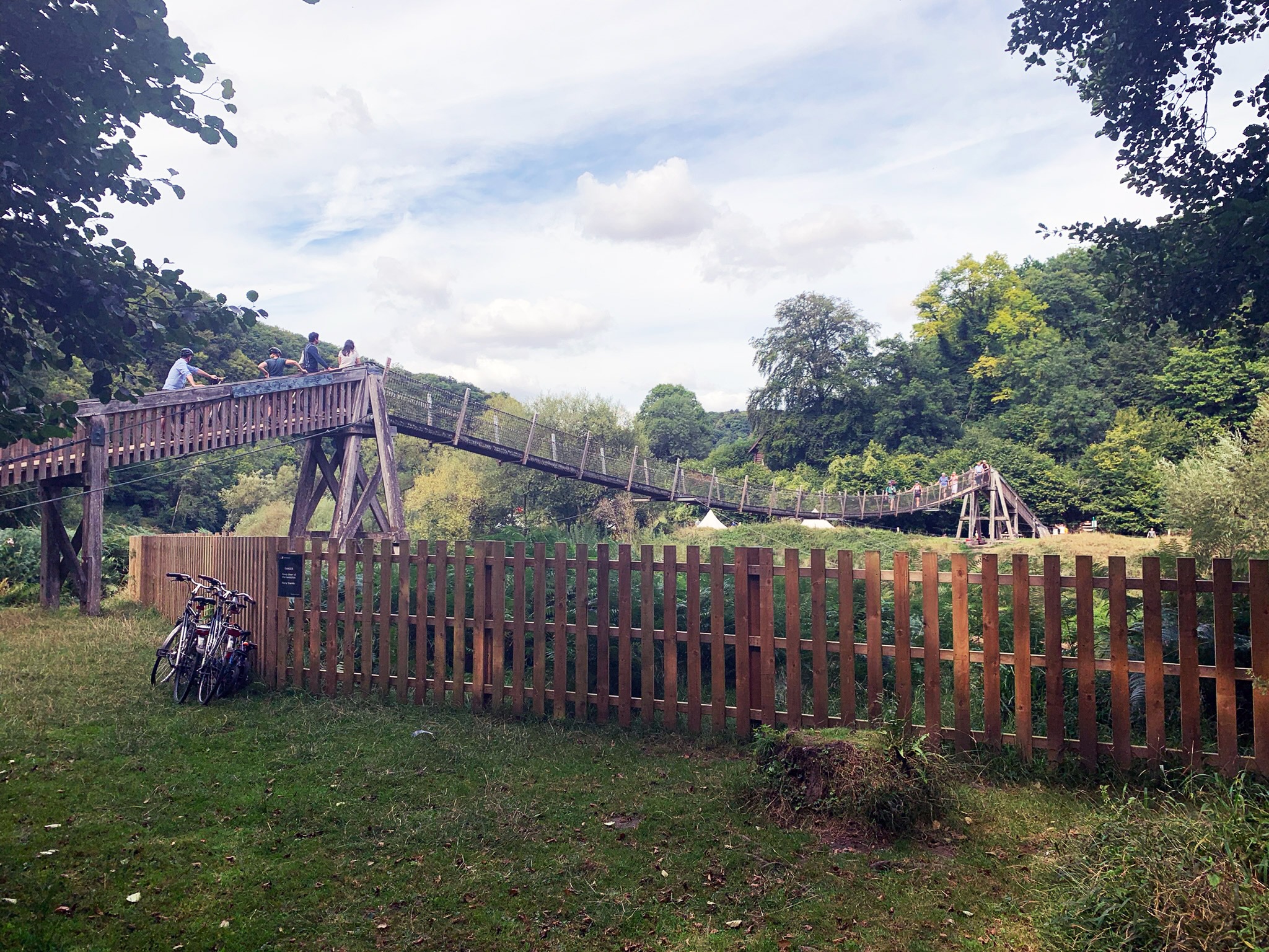
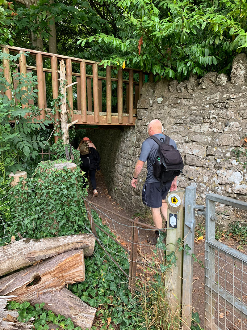
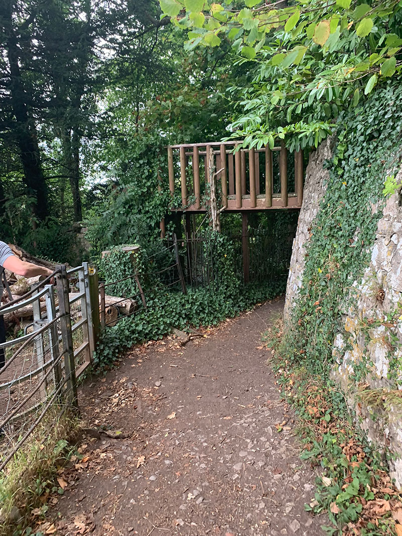
As you head through the next field with the beautiful house on your right, you are then heading towards the area which makes this walk so popular. At the end of the field is a wooden bridge and that is pretty much where you are entering ‘Lancaut’ and ‘Ban-Y-Gor’ nature reserves.
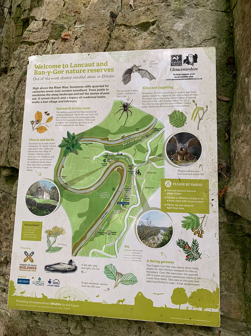
Described as one of the most diverse wooded areas in Britain, you are walking through a secluded and mystical woodland alongside the River Wye, you will hopefully see Peregrine Falcon’s, discover St James’s Church which was built in 1100’s and make your way to ‘Wintour’s Leap‘ high above the River Wye on limestone cliffs.
As you enter the reserve a part of Woodcroft Quarry appears behind the treeline on your right, I mention the treeline because and I’m no expert it is meant to be quite unique and you do start to feel the mystical aura that makes this area pretty special.
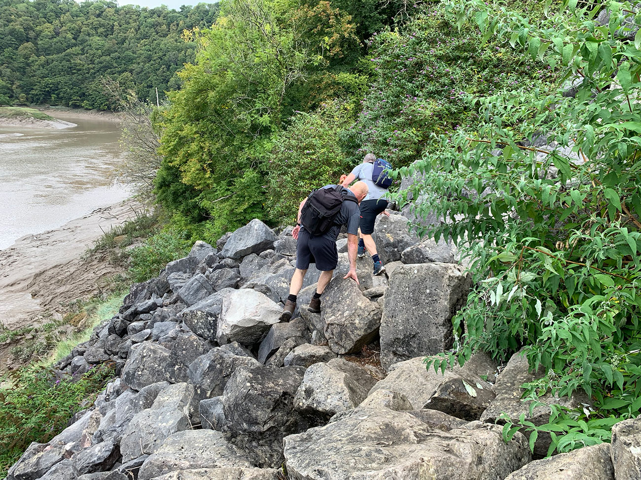
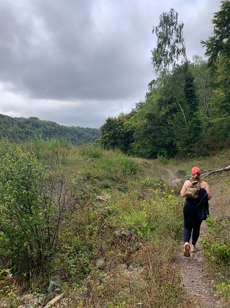
As you continue on, you will start to drop down slightly and this is where it could get very tricky and you’ll need to consider this part, as you will have to walk over a large area of rockfall, they are very large but they are very tricky to walk over, and I noticed that on certain rocks there are markings, so I’m guessing this is where someone has plotted a safer route across.
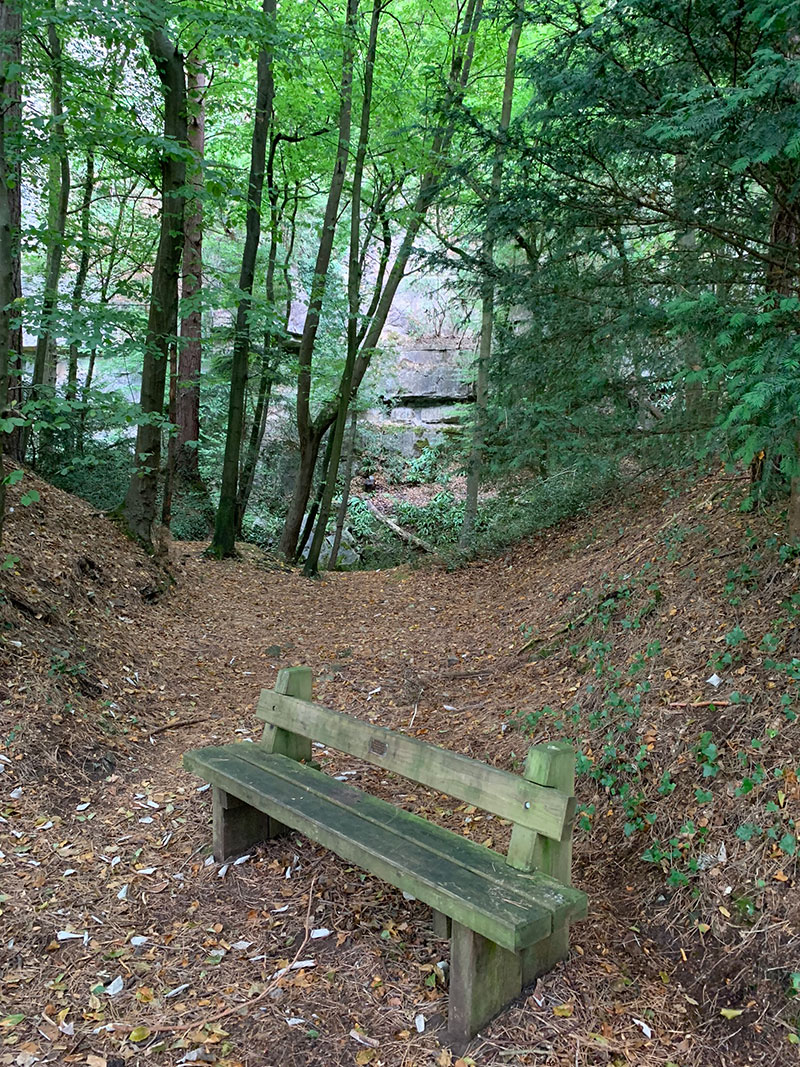
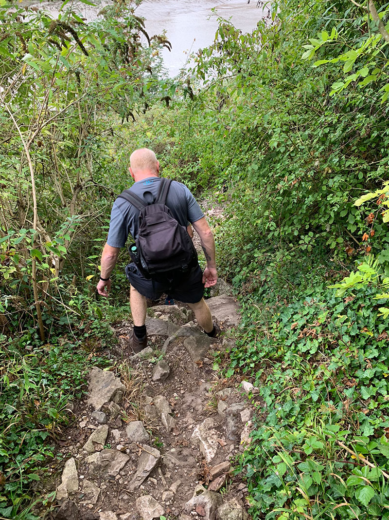
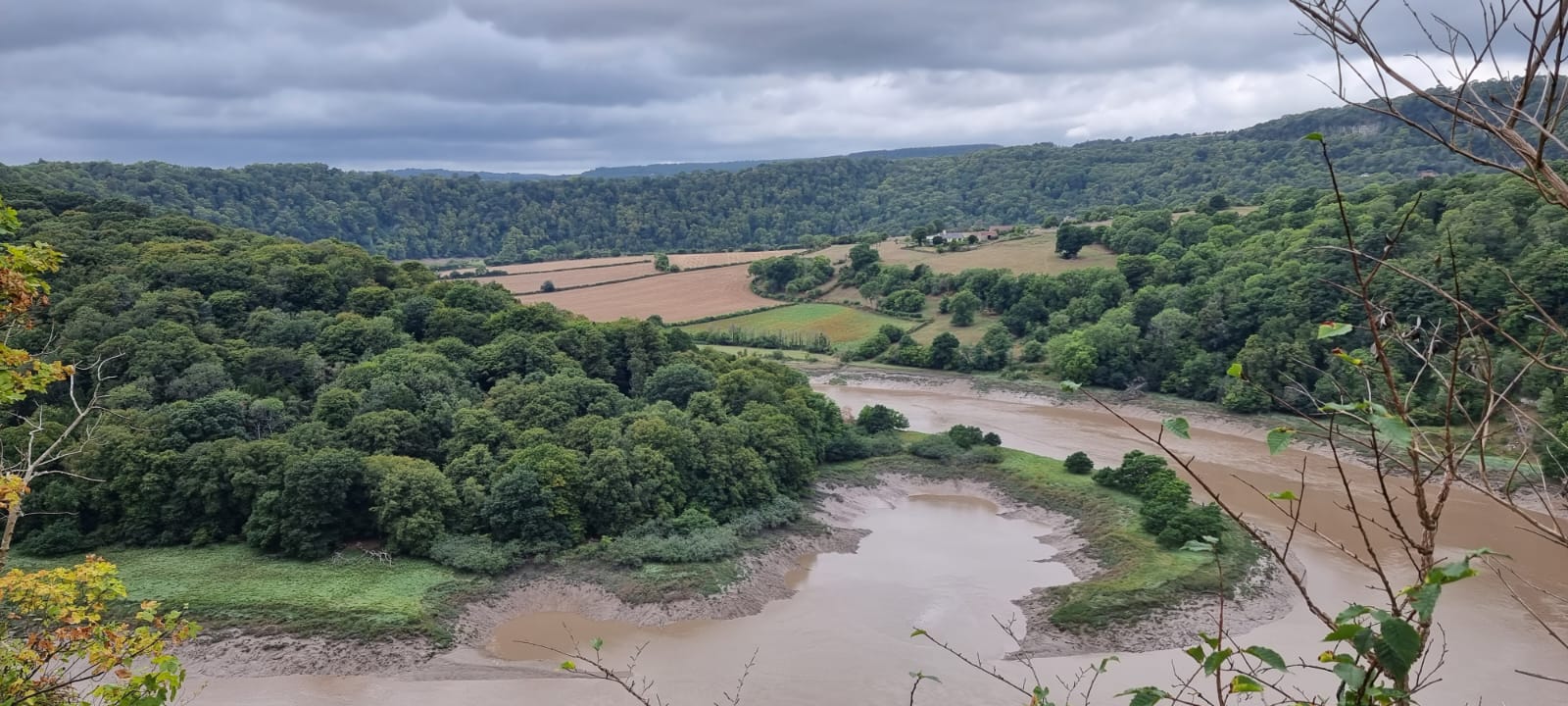
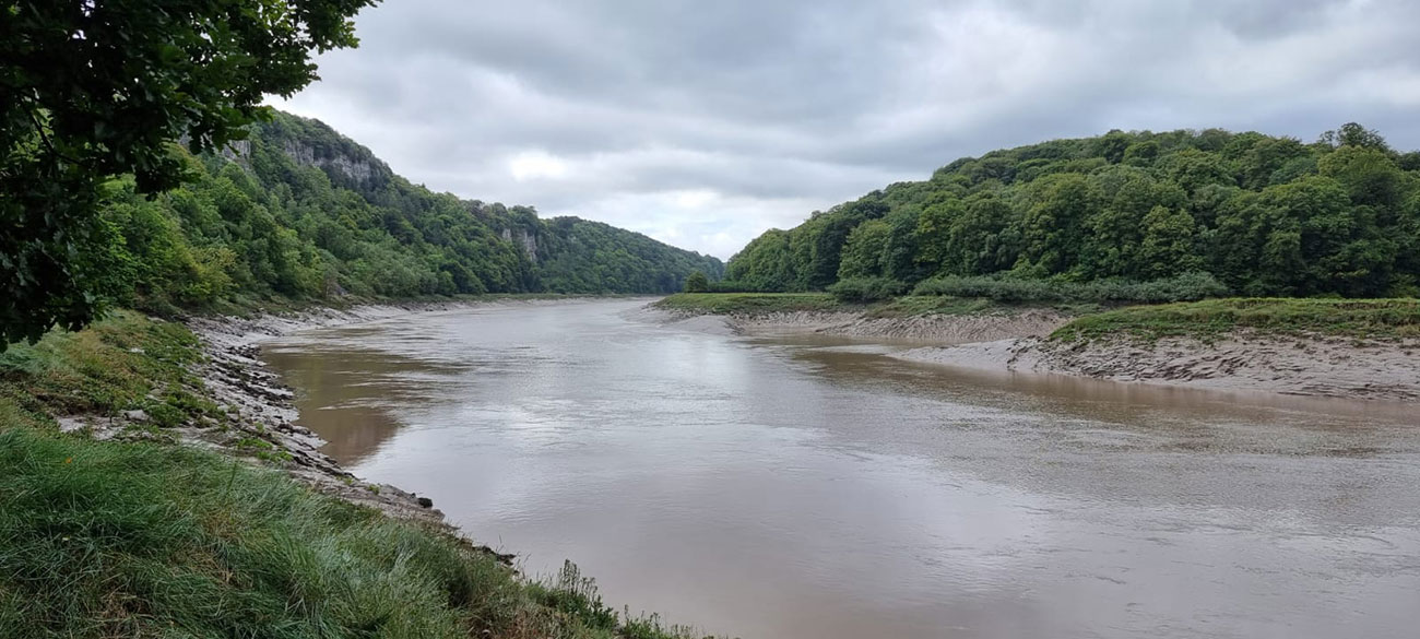
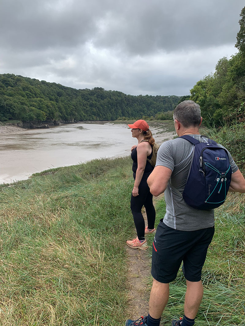
Once clear you are then following the River Wye around and there is a beautiful spot just on the bend by Lancaut Wood where you can look up and down the river and also see the steep cliffs and hopefully some wildlife. On a beautiful day, it’s great spot on the bench to take a break, have a coffee and enjoy the silence and the views.
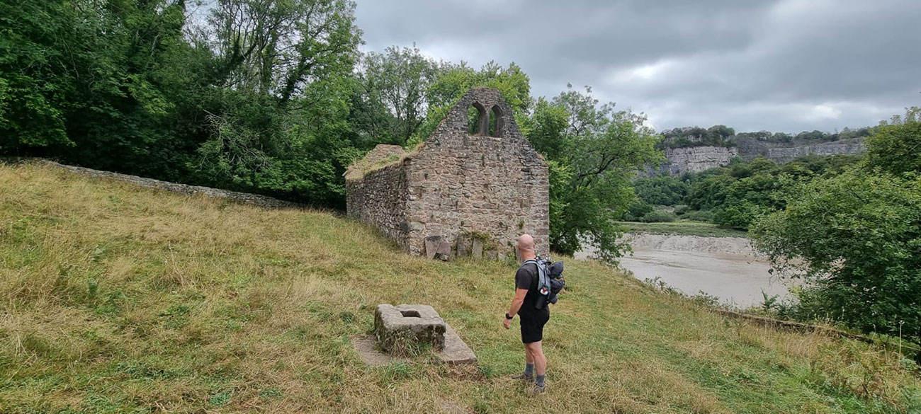
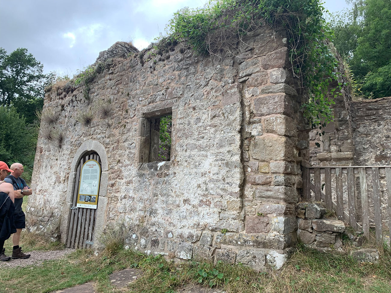
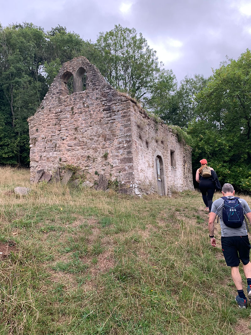
You will continue in the same direction for a bit longer, and shortly afterwards the historic ‘St James’s Church‘ will appear on your right on the hill, walk passed it and you can start to turn up the hill and it’s easier to access the church that way.
Atmospheric ruins of a small church in the Wye Valley, the only remnant from the abandoned medieval village of Lancaut
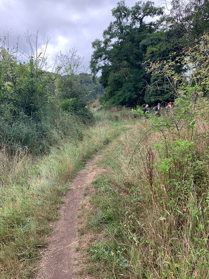
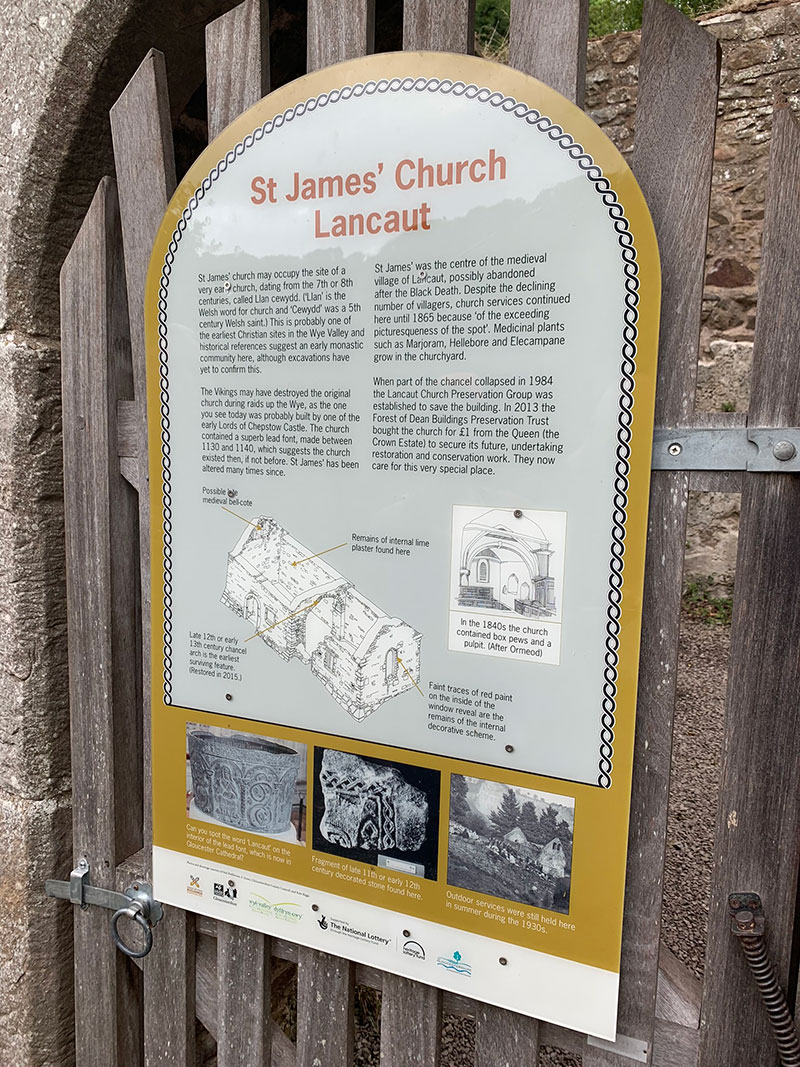
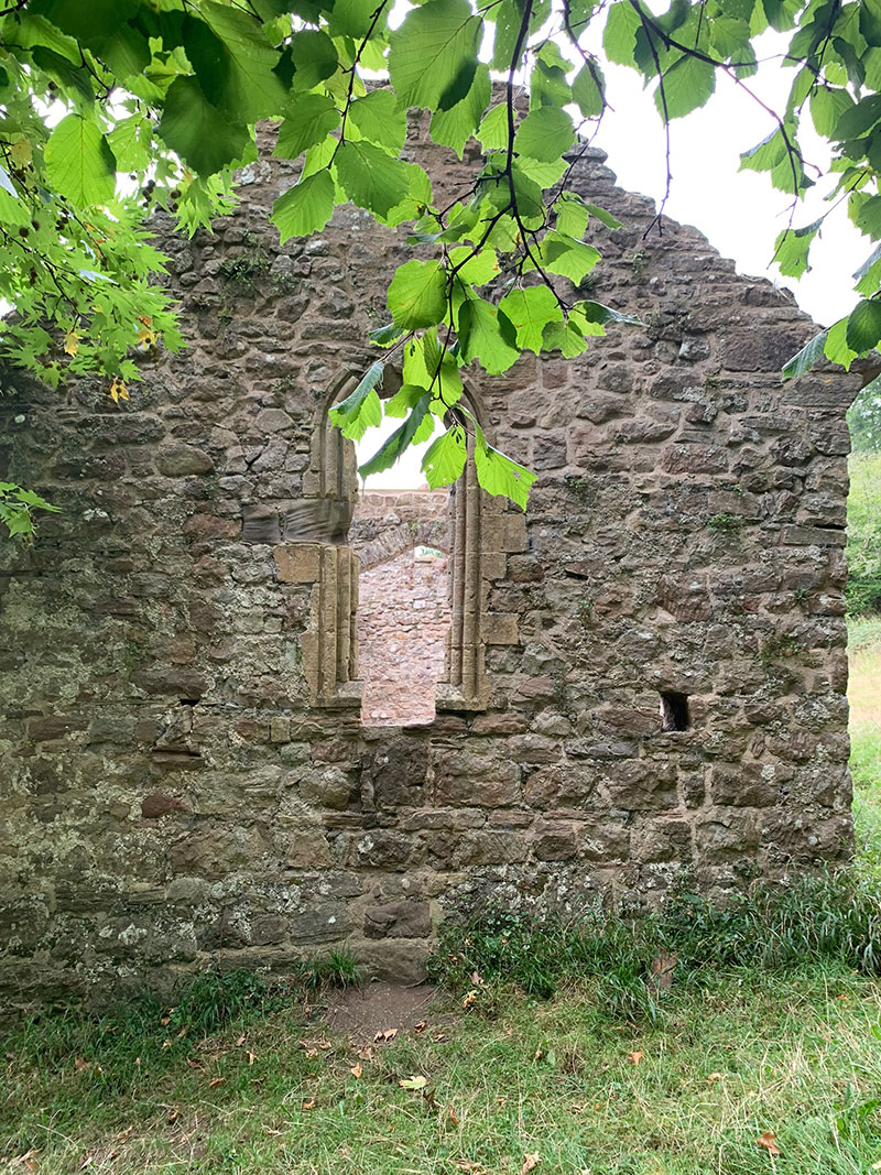
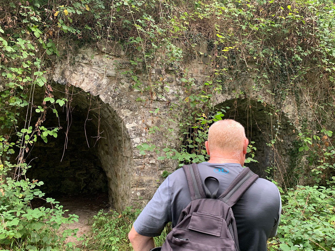
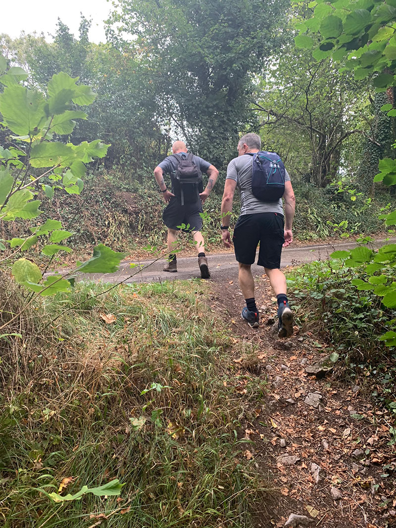
After the church, you continue up the hill and you will walk past some Lime Kilns, and continue through the woods until you reach a road at the top where you turn right, and walk along the road into a small residential area. On the right as you walk through there is a beautiful wood carved sculpture of a bird, it’s hard to miss, and the pic below doesnt do it justice really, the size of it and the quality of the carving.
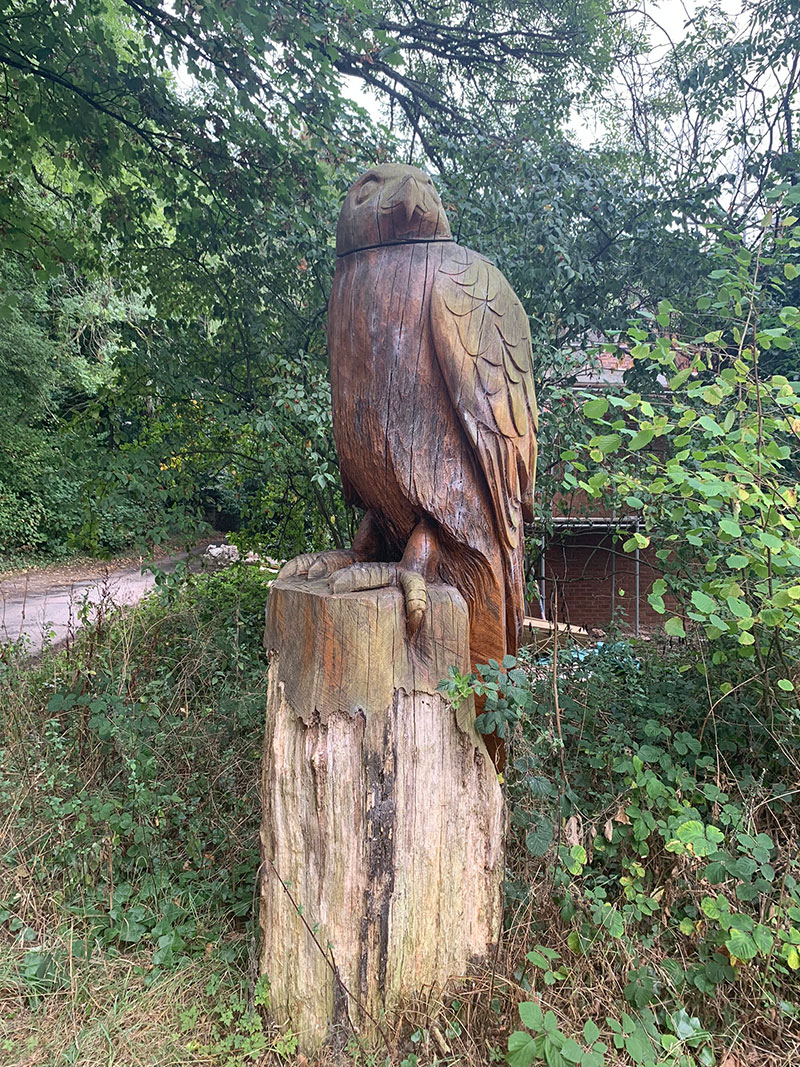
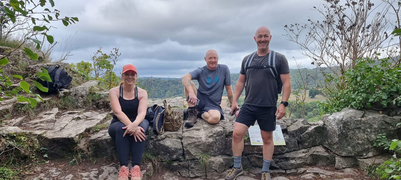
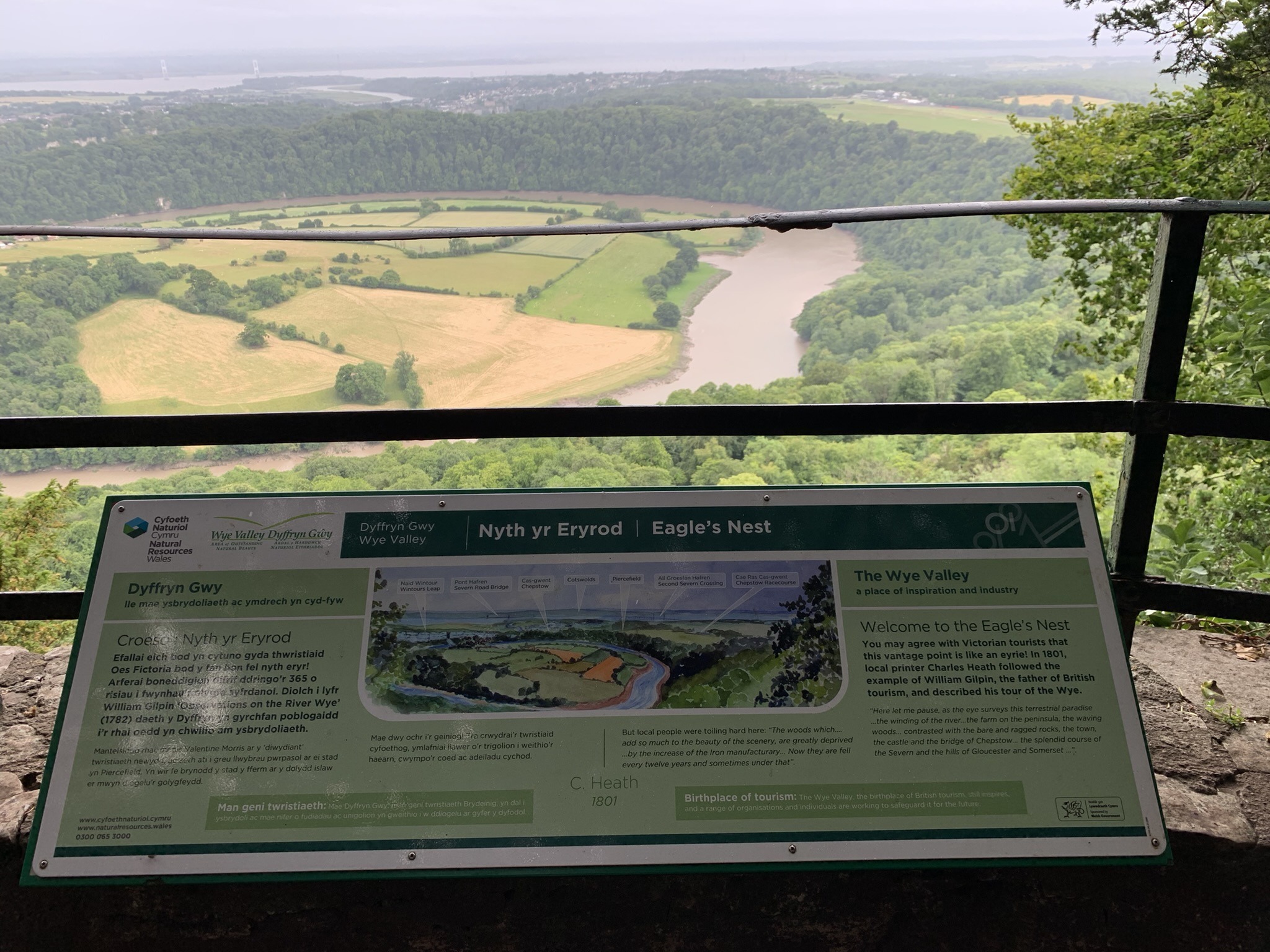
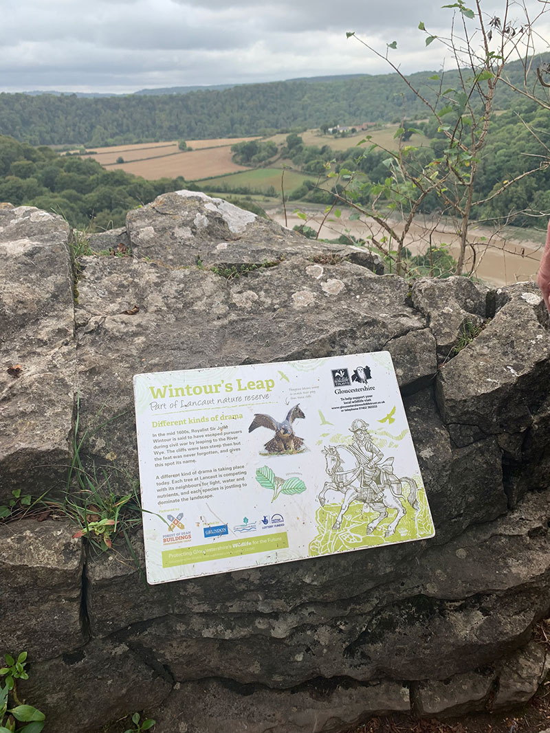
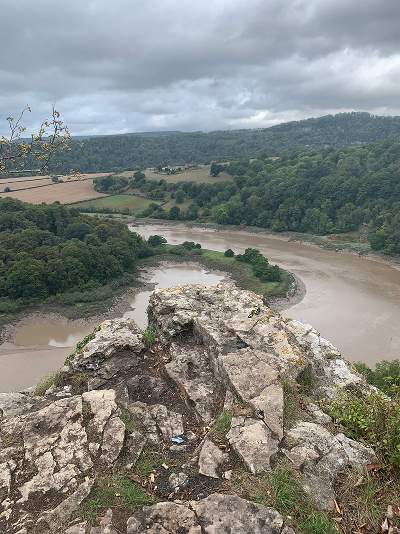
There is a bit of road walking to do next, and once you join the main road there is no path, so you will need to be careful as it is a very busy road. You will see the sign for ‘Woodcroft’, and pass by some beautiful homes on either side, and a little further down a path appears on the right heading towards ‘Wintour’s Leap‘. You will be able to stand on the cliff edge and see a huge part of the Wye Valley and the river wye below you, its a beautiful spot and has some history about it.
Wintour’s Leap viewpoint is high above the River Wye looking out over a horseshoe bend with Lancaut below. It is a mile or so to the west of Tidenham. Sir John Wintour is alleged to have galloped over the top of these precipitous cliffs in 1642 in a bid to escape from the Parliamentarians during the Civil War giving the site its name.
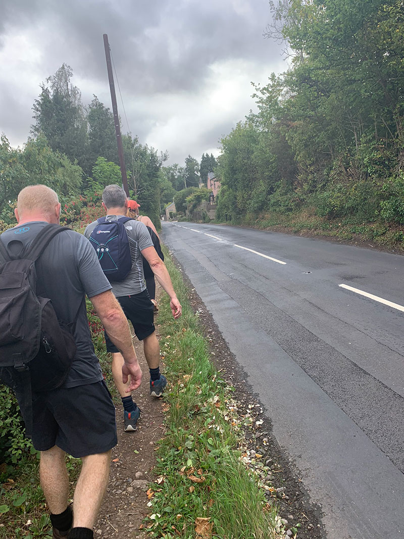
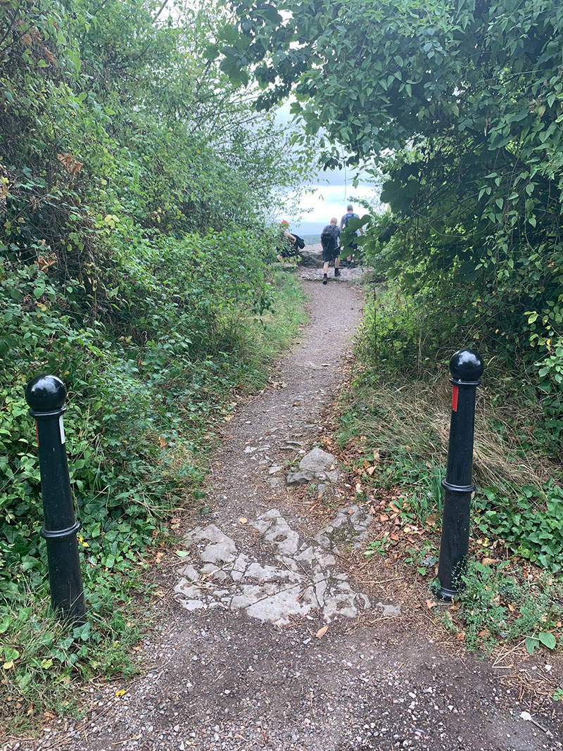
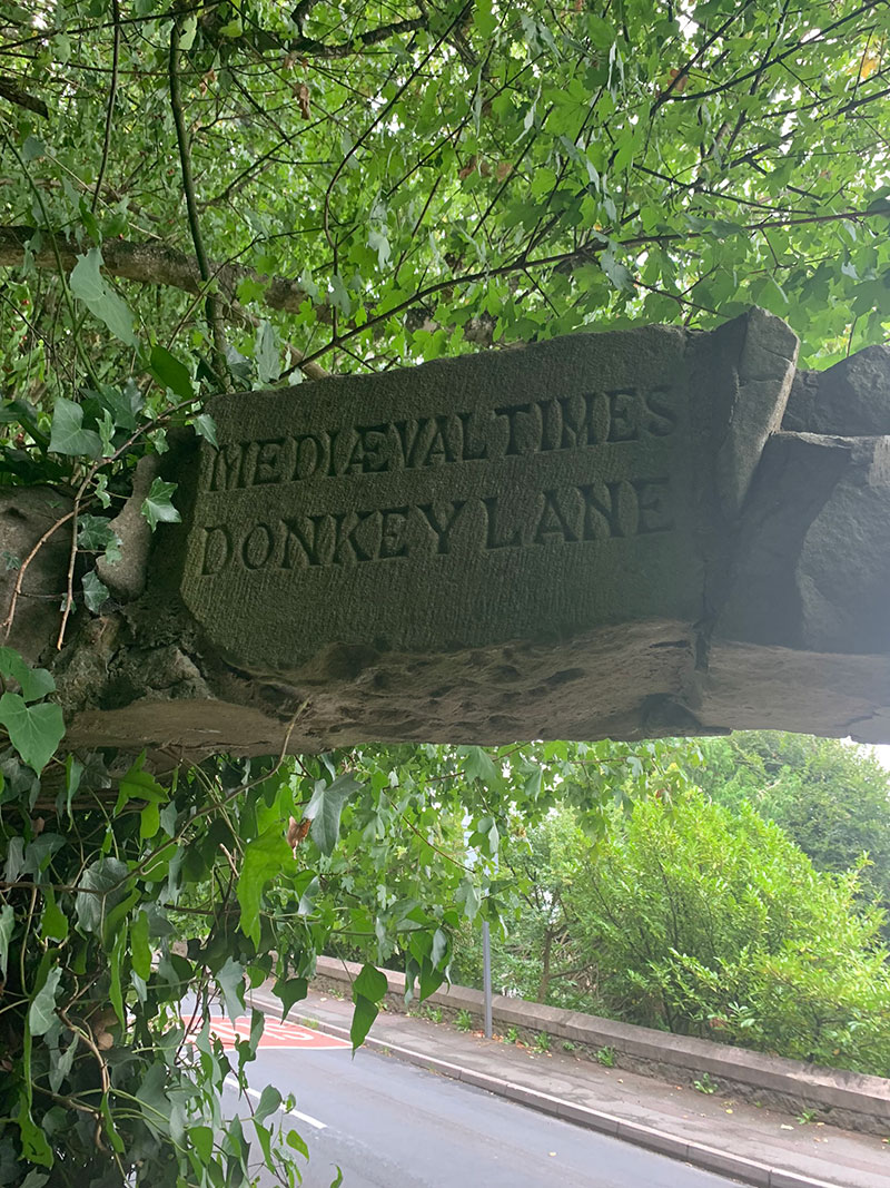
This next section is a really nice flat walk through woods, along main roads, and then joining the Offas Dyke path to return to the point where we walked under the little wooden bridge before entering the nature reserve. On the way you can look over the cliff egde to see more of ‘Woodcroft Quarry’, and just before you return to the main road you will walk under a stone archway with ‘Medieval Times: Donkey Lane’ carved into the head stone. Turn right at the point and then again a bit down the road you will see a gate on the other side of the road, taking you back onto the ‘Offas Dyke’.
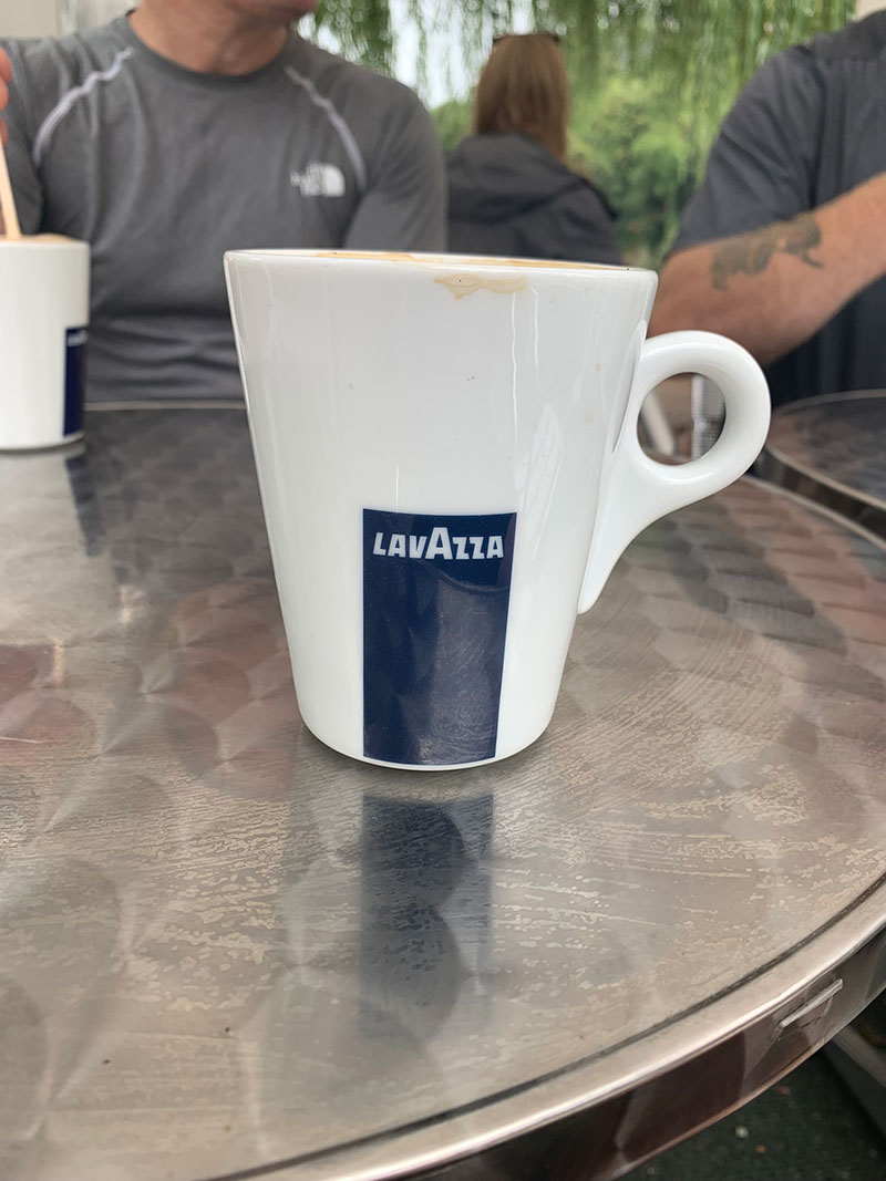
You then return to the path through the fields to head back to Chepstow, cross back over the ‘Old Wye Bridge’, and then find somewhere for a coffee and cake, which we did.
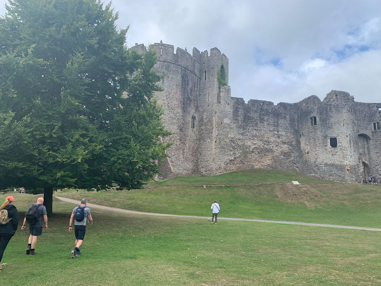
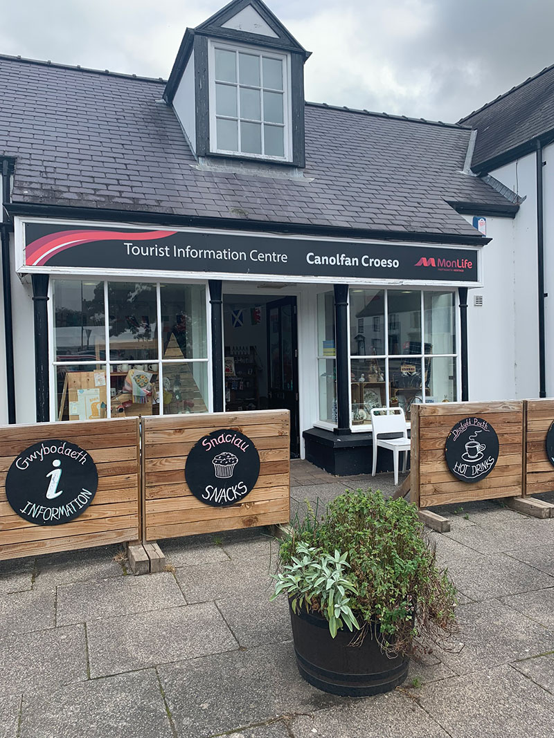
This route back also means you can take a close look at ‘Chepstow Castle‘, which has over 900 years of history. There is more information on the Castle and the area in the Tourist Information Centre in the car park opposite the Castle.
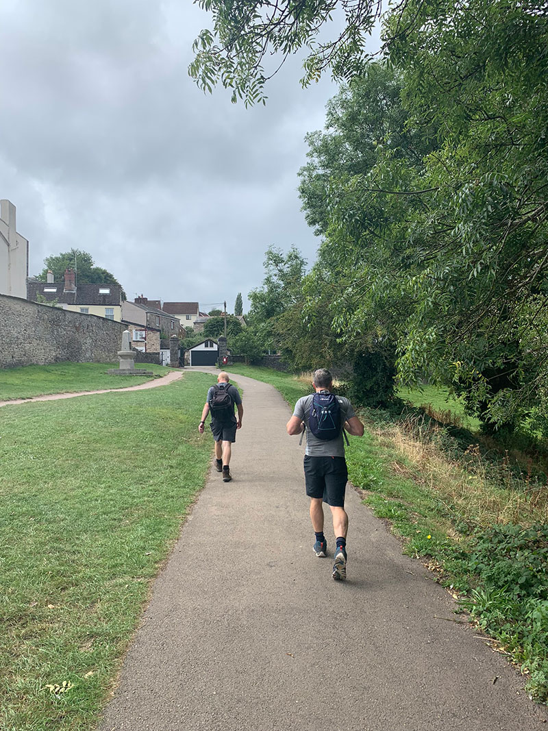
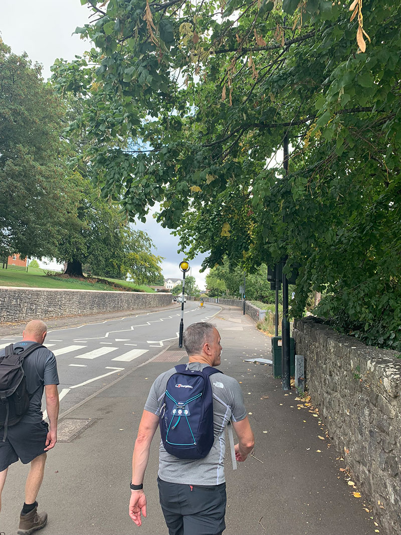
Keep to the steep path alongisde the Castle, and this will take you back to ‘Welsh Street’, where you then turn right, walk back up the hill back to the carpark. It’s a nice last workout for the legs and lungs!
That’s it, you have completed the Chepstow – Lancaut circular, hopefully the weather has been good, and you have had a great walk. A big thank you to Charlotte for introducing this one to us, I had lived in the area for 18 years and had never heard of it!
It is worth downloading this route onto your outdooractive app, it’ll re-assure you time wise and that you’re not heading in the wrong directions. There is so much space up there and lots of alternative paths you could accidently join.
Hope you enjoy this walk, and I’d love it if you could share this post either with the social media buttons that follow you down the screen on your left, or below in the footer. Also, comments are very welcome, I love meeting new people and talking and you never know we could meet up on one of our walks.

Fundraising for CALM, they do save lives!
Do you want to join me in making a difference? I’m raising money in aid of Campaign Against Living Miserably and every donation will help. Thank you in advance for your contribution to this cause which means so much to me.
More information about Campaign Against Living Miserably: Campaign Against Living Miserably (CALM) is leading a movement against suicide. Every week 125 people in the UK take their own lives. And 75% of all UK suicides are male.
CALM exists to change this. Join the campaign to take a stand against suicide.
Please donate an amount you can afford, everything helps these poor people.
I have raised £572 so far, and I will keep trying to raise more.
