For this years ‘South Wales Three Peaks Trial Challenge’, I was proudly representing ‘Outdooractive‘, which is Europe’s largest outdoor platform, providing countless trails, tracks and route suggestions complete with descriptions and photos. It is simply the best, and to be working with them is a great honour.
I upload all my routes there, and on every post on this website, there is a link to the route. You can find them all here, under the ‘Content’ tab. I use the Pro+ version, as it offers so much to help me plan, see and do the routes.
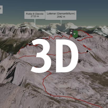
Walk this route yourself in 3D!
The Video is a 3D walk through of this route, it will give you a unique sense of having walked through the route before you start.
I have created 3D Videos of my adventures and have shared them with the OutdoorActive community as well as my walking community.
The South Wales Three Peaks Trial is an organised challenge walk arranged each year in March by the Cardiff Outdoor Group. Since 2010 Longtown Mountain Rescue Team provide support with marshalls on all the mountain top checkpoints.
The walk was first held in March 1963 and was designed for less experienced walkers who wanted to test their powers of endurance and skill at map reading. It is now the oldest challenge walk in the UK.
Over the years the event has been modified so in 2023 there is a choice of four other routes. The route we choose was the ‘Gold Route’: This is the original challenge, a circular walk of about 21 miles and 5000ft of ascent, which crosses over three prominent peaks around Abergavenny in Monmouthshire: Blorenge, Sugar Loaf and Skirrid. This route is never far from civilisation yet there is no obvious route so that concentration on map reading is essential to keep to the best route.
Getting There: Directions, GPX and App Link
The Hiking app I use to plan the walks and to aslo guide me around is the ‘Outdooractive App‘, which has a free a Pro and a Pro+ version, the Pro version will allow you to download the routes to your phone, and use them without using up your data.
The reason I mention it is that if you were to download a route, they are FREE and you can find this link to this route in my hike listings. You can then follow the arrows and voice on your mobile, as most of these walks are a bit tricky to explain.
- The start point, which is where you check in and set off from are the set of buildings in the car park of this address – 5 Park Ave, Abergavenny NP7 5SG, it is opposite Morrisons, and there is plenty of parking spaces there.
Navigation Aids:
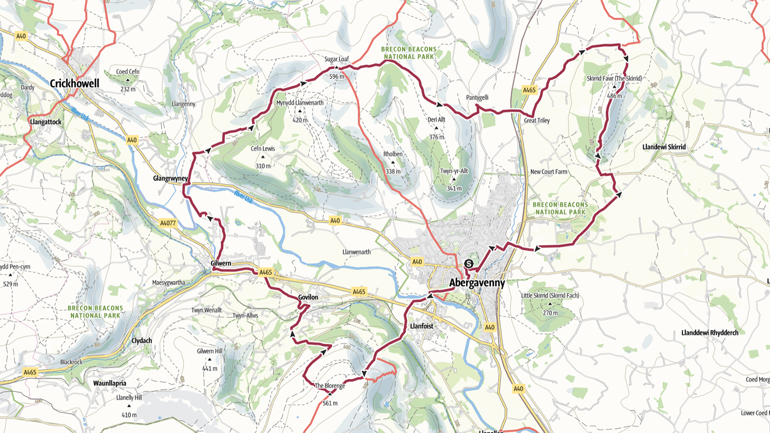
Hike Map
Hike Profile
- Distance: 21m / 34km
- Duration: 10 hours
- Highest point: 5000ft / 1524m
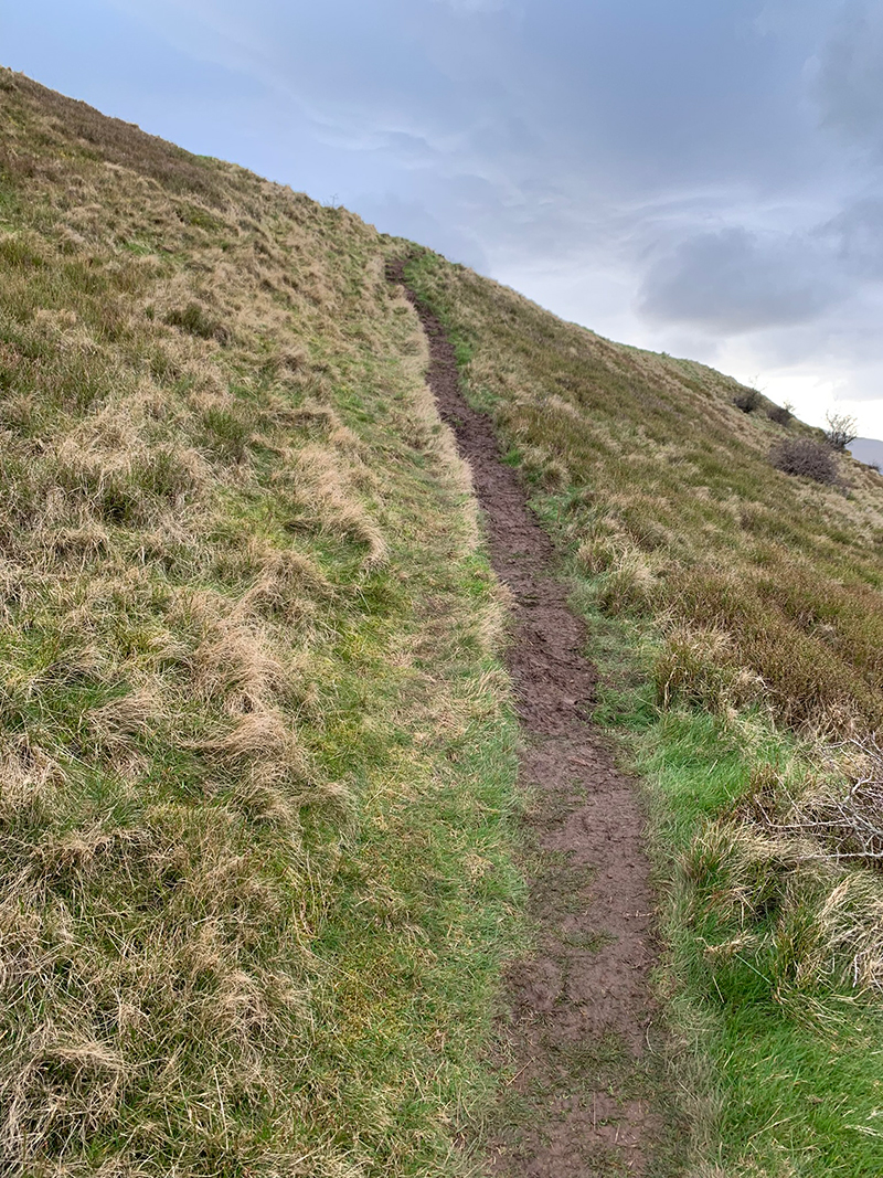
- Difficulty: Difficult (very steep climbs), long distances, and muddy paths.
- Route conditions: Well-worn pathways most of the way around, good walking shoes are a must.
Hike Description & Pics
This challenge always starts in the same place, 5 Park Ave, Abergavenny NP7 5SG, it is the big car park opposite Morrisons, and there are buildings there where you check in, receive your wrist band and you set off in the direction of the Blorenge, which usually takes you through the town centre.
The idea of this challenge is to find the quickest route, so there is no set route as such, and that is why I used my Pro+ account with Outdooractive, to plan it thoroughly, making sure we visit all the checkpoints, and then I create a GPX file which I upload to my Garmin watch. But the app itself once the route is created will be able to guide you around, just be sure to take a fully charged charger so that you don’t lose power as you go around.
It is a really long day, and will be impossible really to put all the info in this post, so I will stick to the main interest points, but if you have a go at this, your route maybe different. We like to take in the views, see different things, so it wasn’t necessarily the quickest route, but we didn’t do it to win, we did it as a personal challenge and to enjoy ourselves.
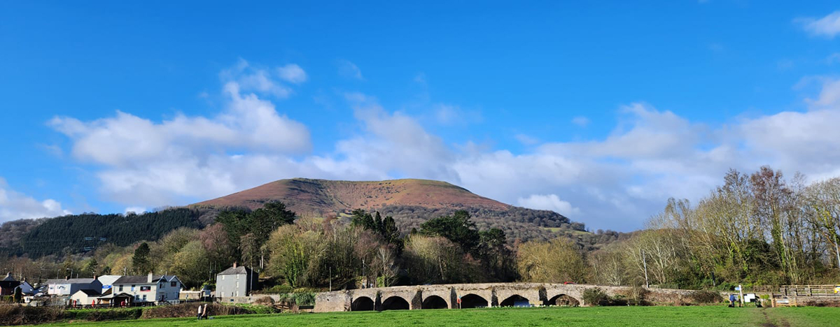
So back to the route, we walked through the town centre, there are multiple ways you can go, and the main focus is that you head towards the Blorenge, and once you are the other side of the town you will see the Blorenge in front of you in the distance, and you will have to walk over ‘Abergavenny Bridge’ and we made our way towards ‘Church Lane’ which will eventually bring you out on the B4246 near ‘Llanfoist Crossing Car Park‘.
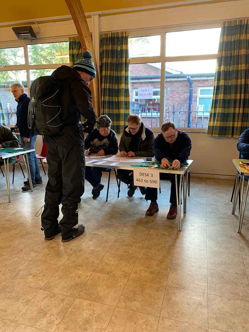
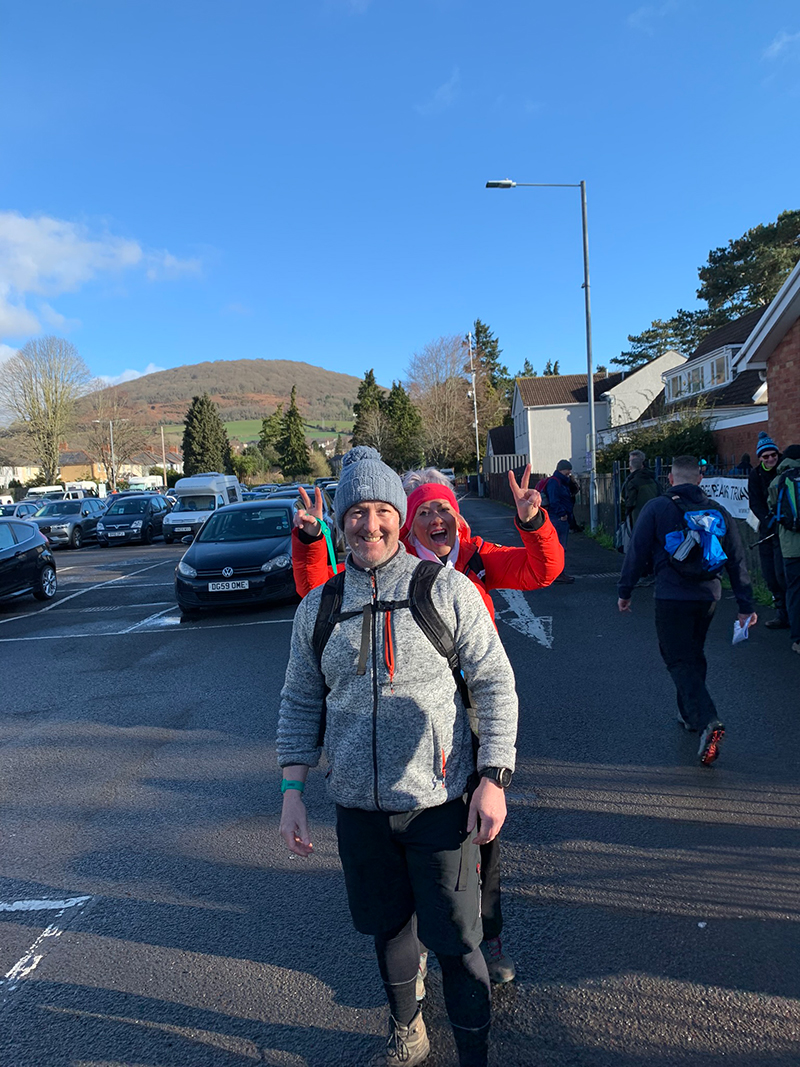
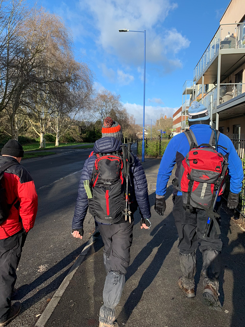
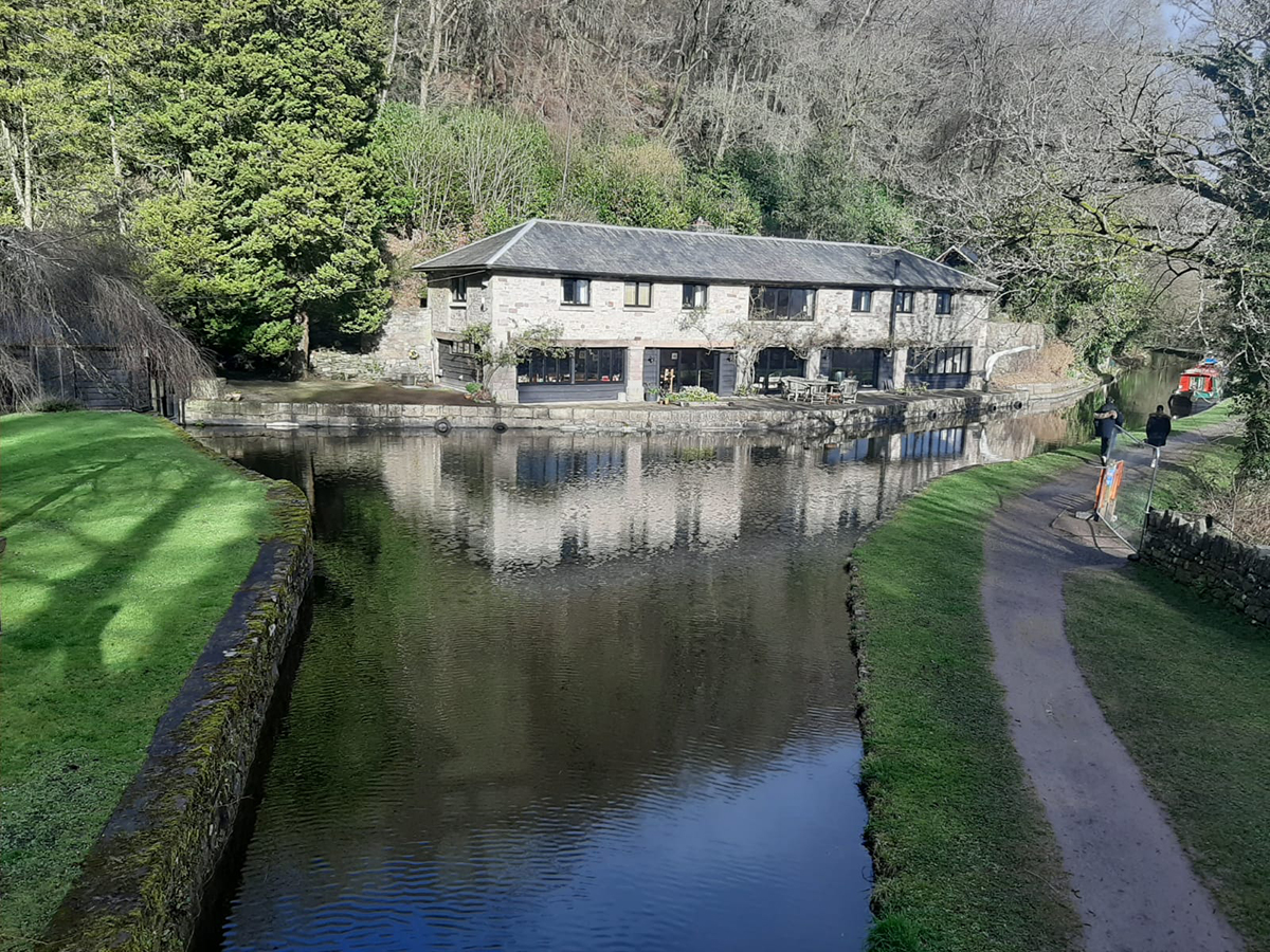
After crossing the B4246 there is a single path still called Church Lane, and on your right is the church, and as you continue forward you will need to walk through a tunnel under the canal, and once you pop out the other side there are some beautiful cottages right on the canal, and this is pretty much where you start your climb up the Blorenge.
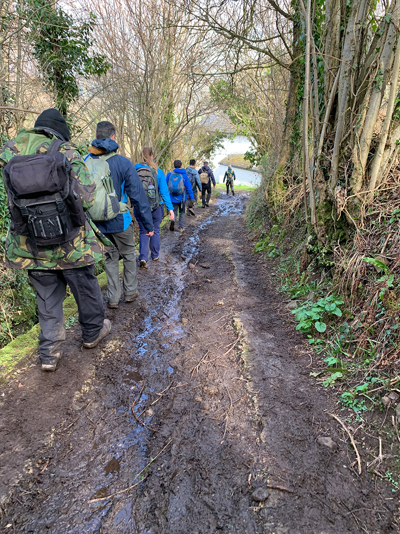
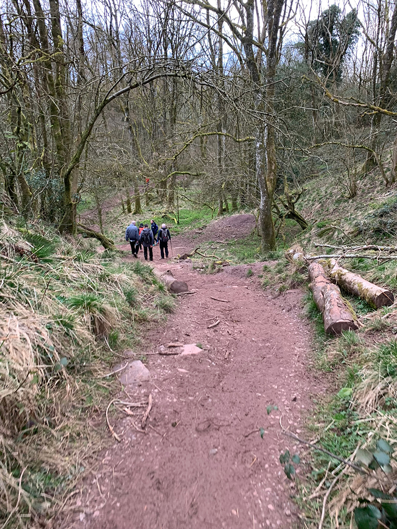
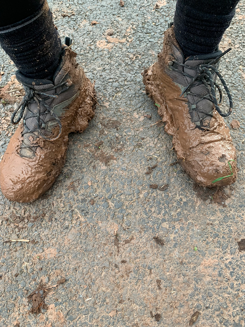
The path up this first bit is tricky, it works its way up between the tree’s and so in winter it can turn into a mud slide, the leaves churn up, the water flows down and this makes it very difficult, and to add to it, a large tree had fallen over blocking the way up, but I’m happy for it to stay there as it adds a bit of fun trying to get over it.
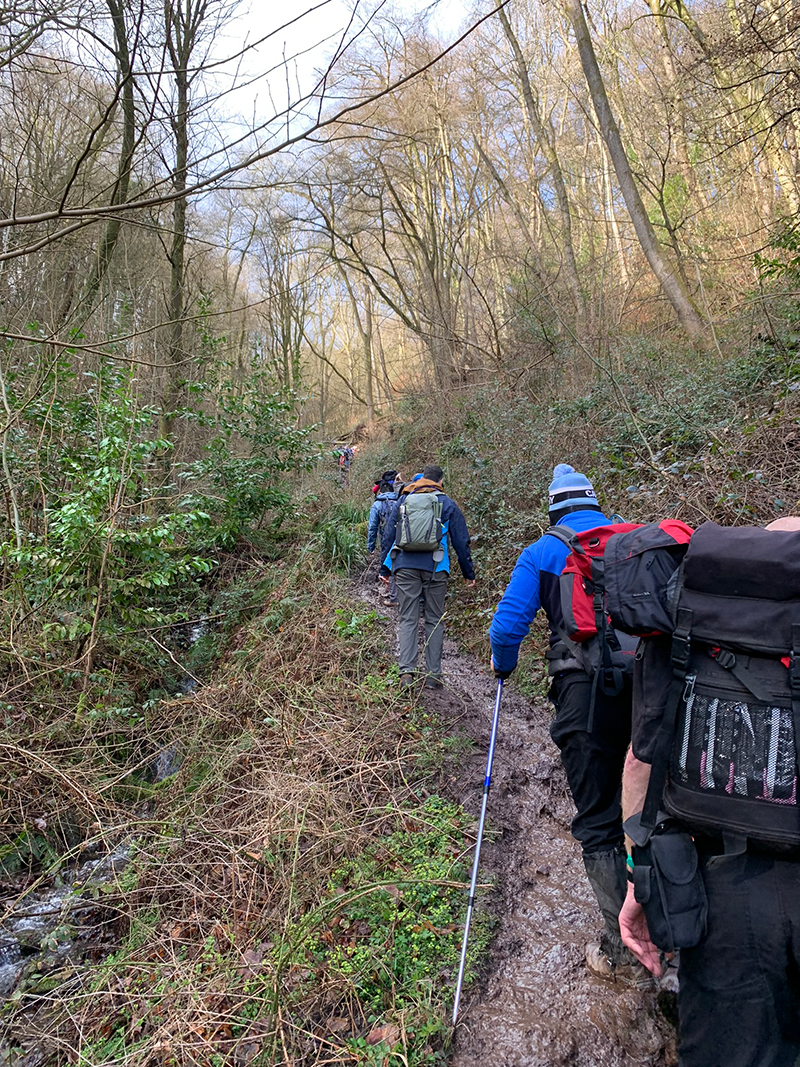
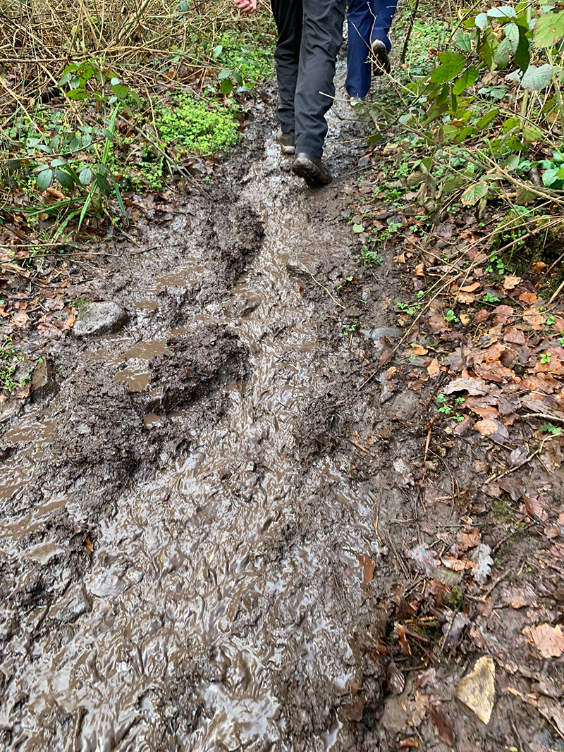
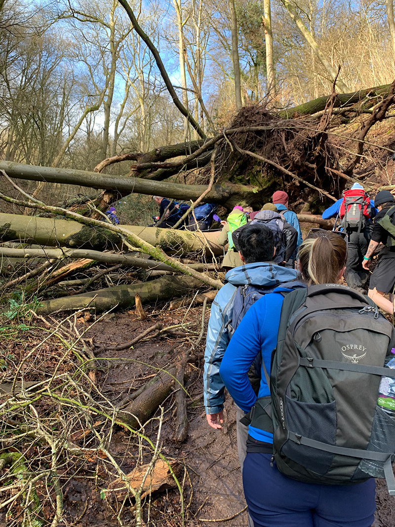
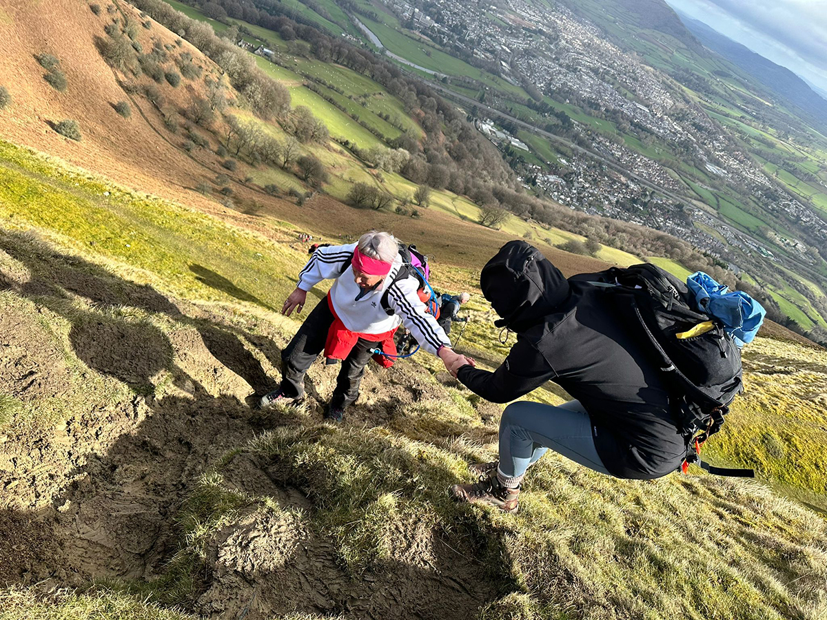
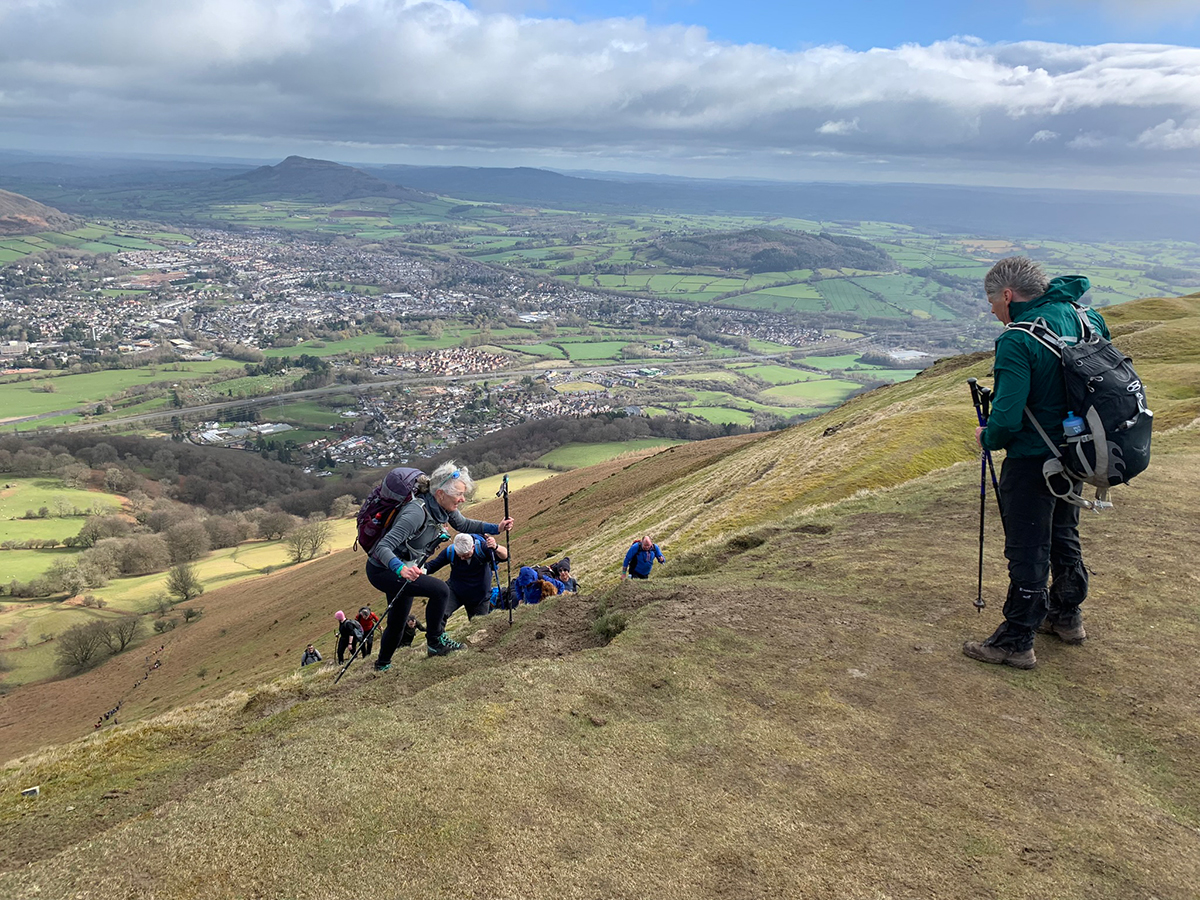
You know you will have reached the top of this first bit, as the tree’s make way for open mountain, but please do catch your breath here as the next bit is very, very hard work. You are going up the middle of the Blorenge, and in places you will need to use your hands and you quite possibly will slip and slide about, and the wind does start to pick up.
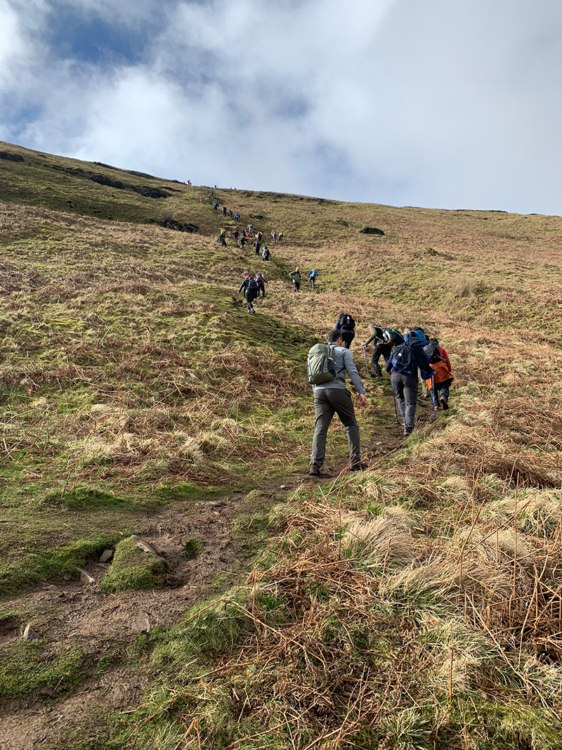
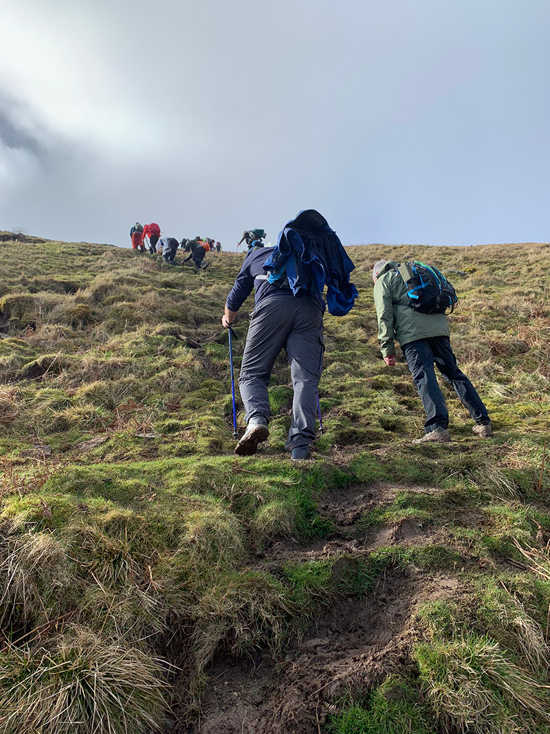
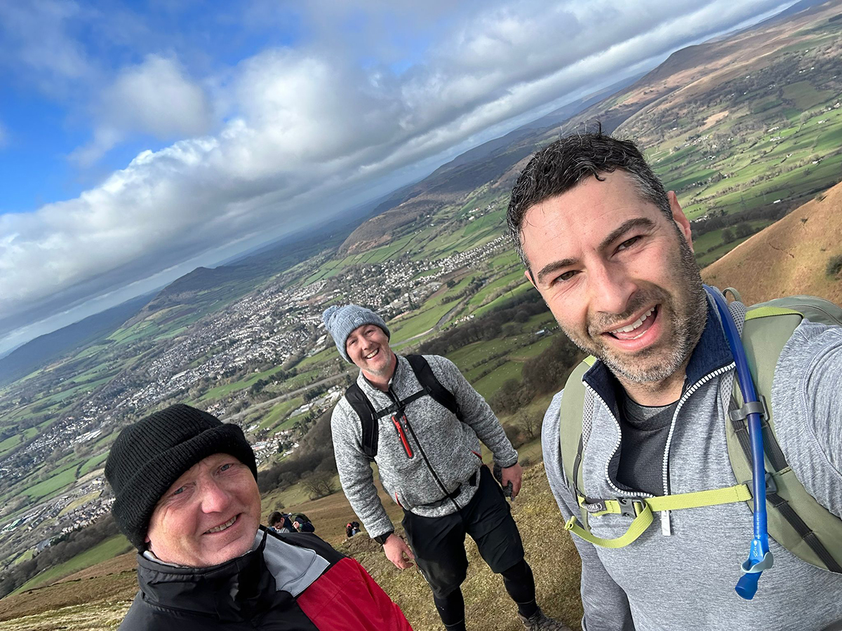
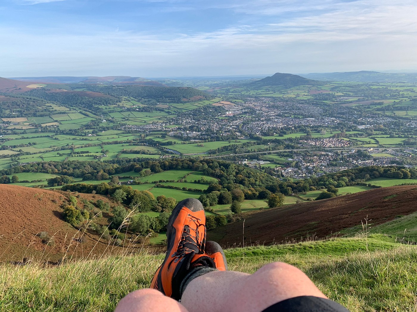
That is a tough climb, but once you are at the top the views are beautiful, you get to see the whole of the Abergavenny area, and the Black Mountains that surround it, and it’s also the first time whilst standing on the first mountain, you get to see the other two you are heading for.
From this part of the mountain, you carry on walking forward and head towards the peak point, and this is where you will get your first checkpoint. The wind can really pick up here, and it’s quite rare to have good weather, but the beauty is in the ruggedness and views.
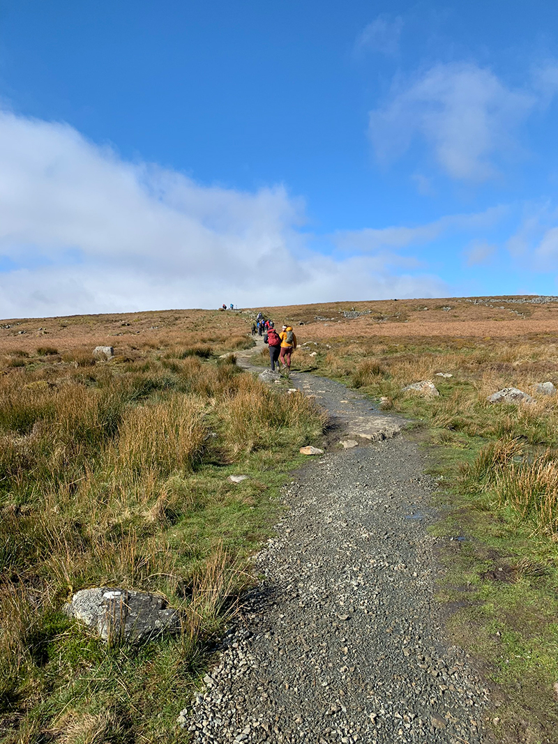
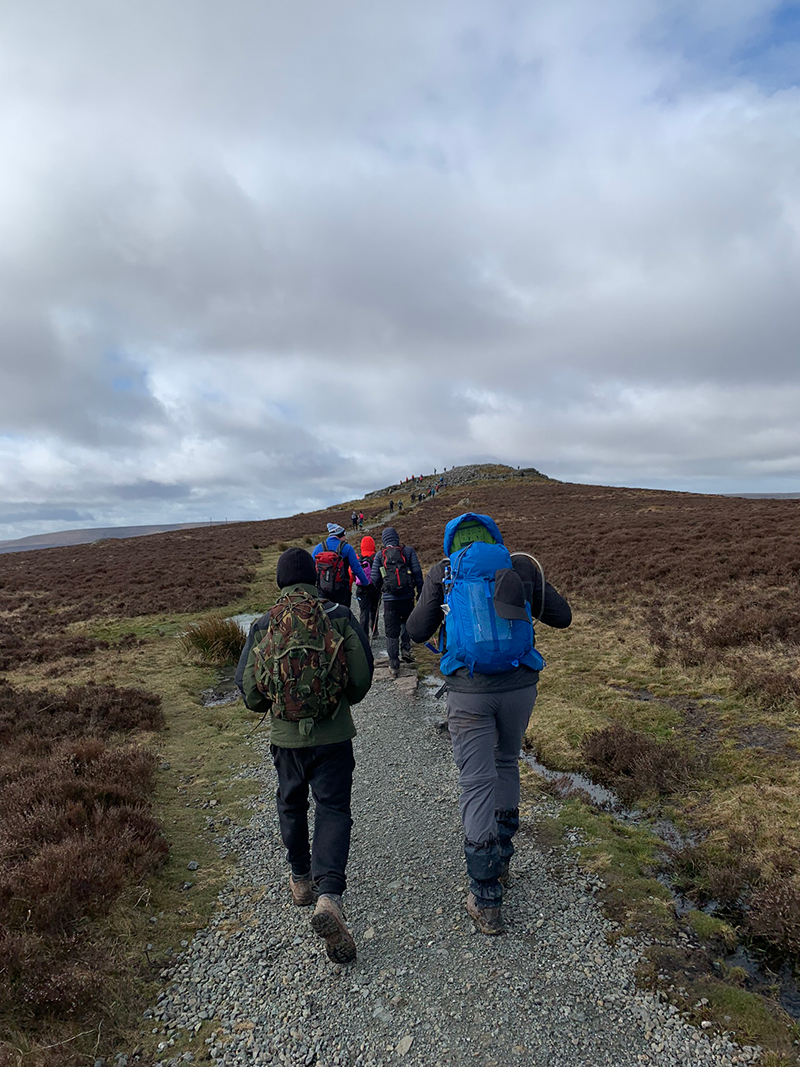
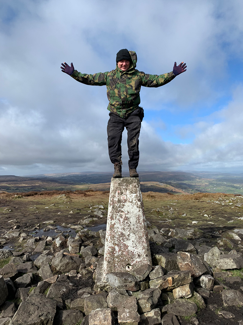
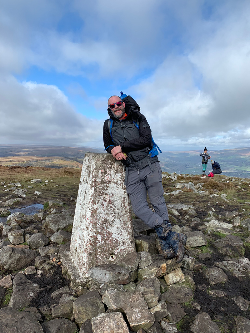
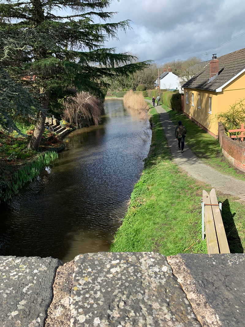
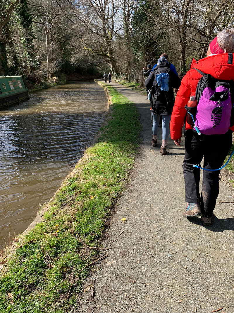
So, now it’s time to head down the mountain and make your way towards a village called ‘Govilon’, you can head down anyway you prefer and there are various pathways on the Blorenge and in the woods close to Govilon. Eventually you will leave the wooded area behind you, walk into the village area and then over a canal bridge to then follow the canal up river which is a beautiful walk on its own.
It is quite a long walk following the canal, and eventually you will come to a pub on your right called ‘The Towpath Inn’, and it’s here you will leave the canal, cross over the road and head right.
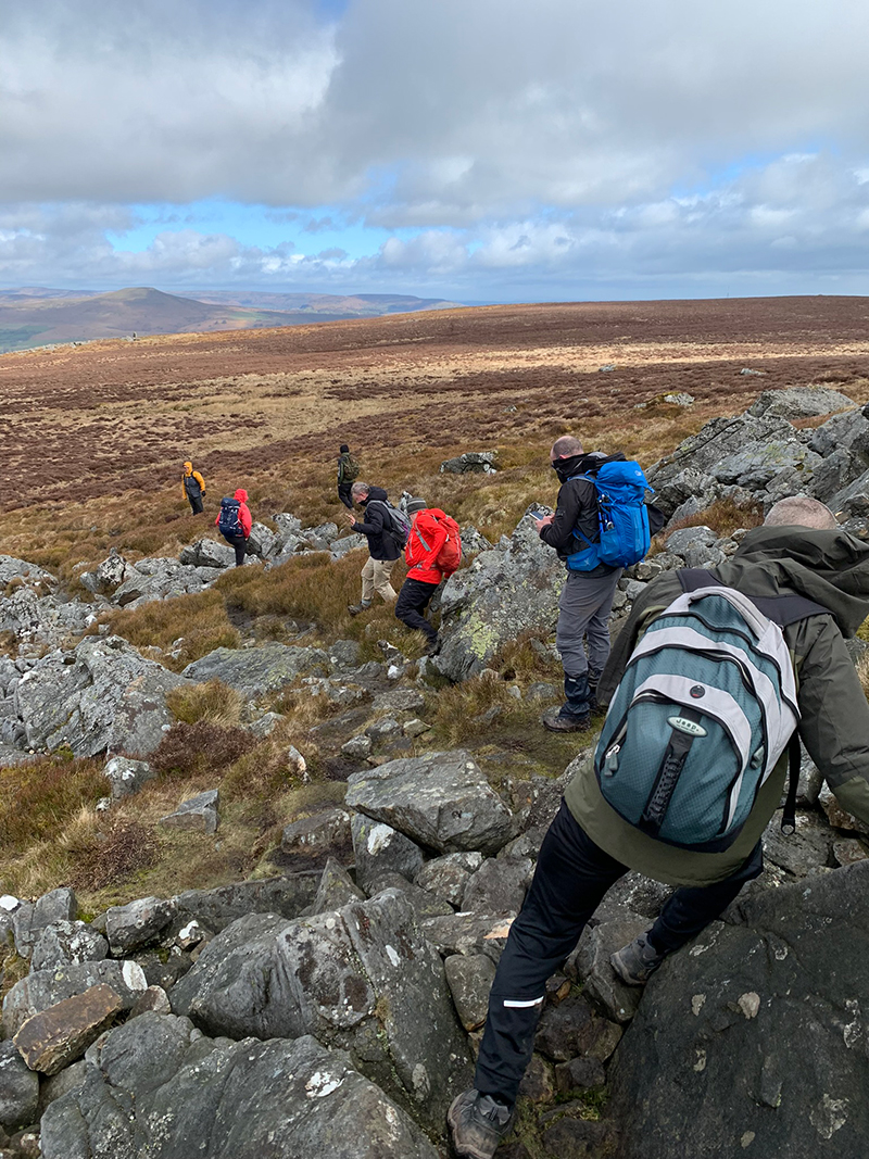
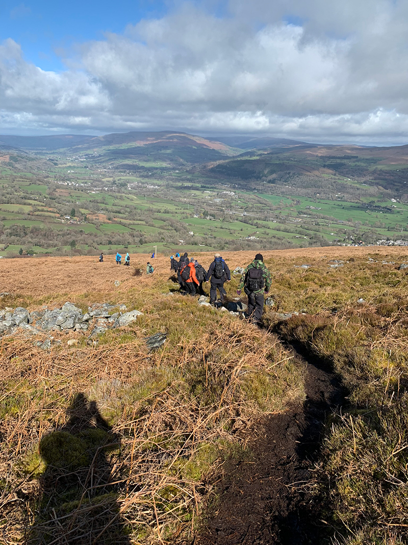
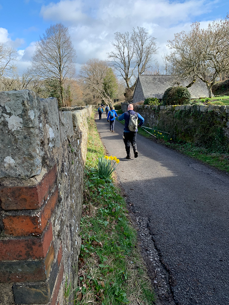
The next village on the map which in effect is the last village will be ‘Glangrwyney’, to get there you will have a lane to walk along from Govilon, and then over a bridge again which for the 2022 challenge was closed. The bridge looks a bit unsafe, but it has been fixed and is safe to walk over, but be careful as it’s also busy with cars crossing, and there not a lot of space for cars and people. But once over it’s a short walk to the main road, and this road is very busy, it’s the A40 Brecon Road, turn right, walk along the pathway for a short while, and then you will need to cross over and walk up the lane opposite.
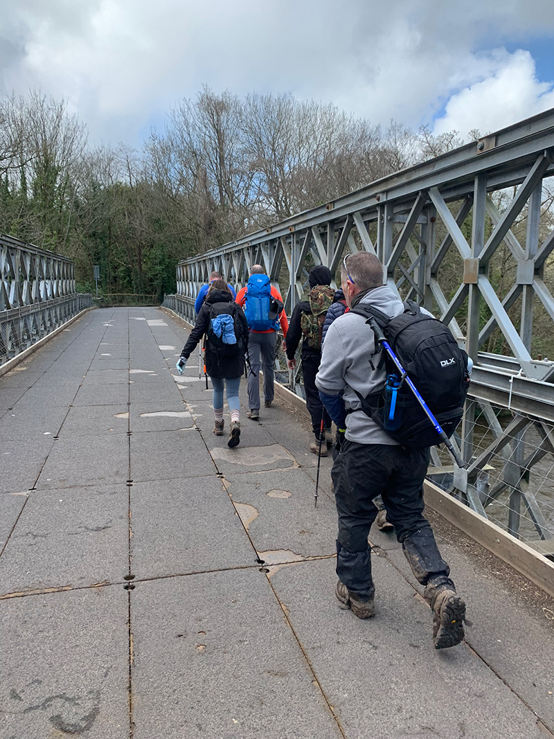
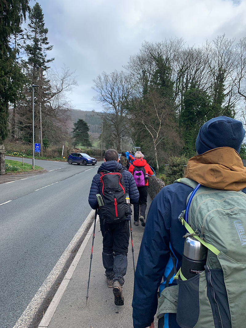
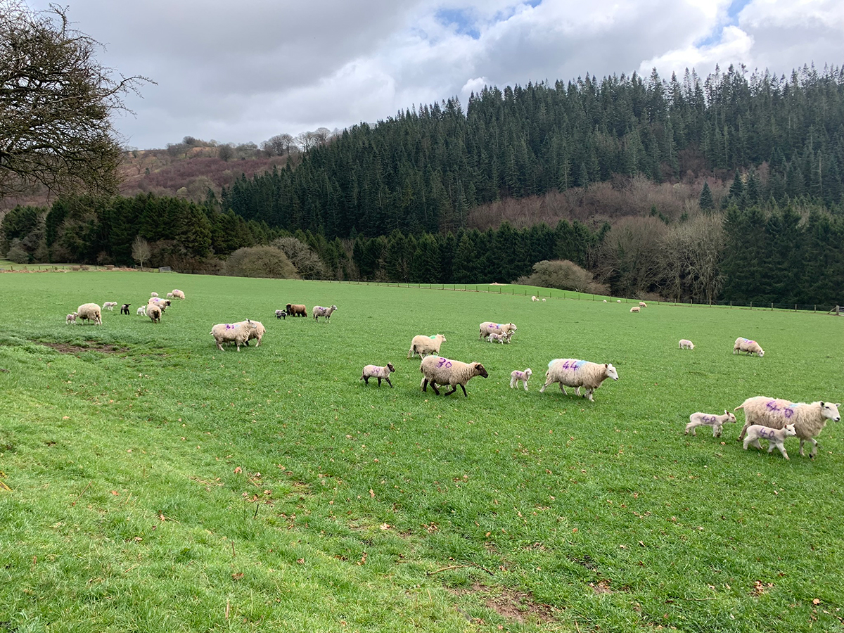
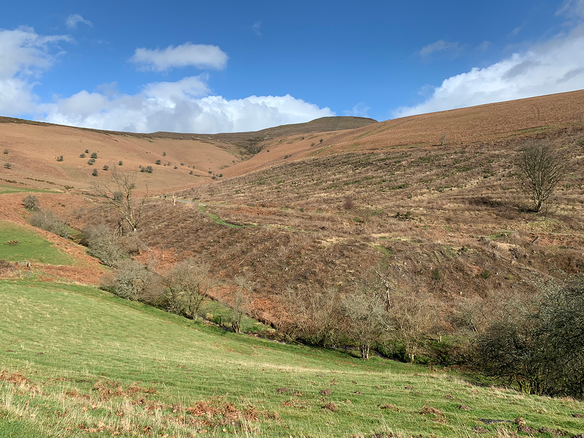
From this point it is a long and steady climb up to the base of the Sugar Loaf, this lane is steep, and winds around until you eventually leave the road and join a worn path through farmland. There is then to our relief quite a bit of flat walking with a few small ups and downs, and it’s a great opportunity to take in Welsh farms, it’s sheep and the land.
I haven’t mentioned it, but we did stop a few times before getting here, we did make sure we had food to eat, plenty to drink, and that we were all fit and healthy and obviously we chatted and laughed all the way around, it’s a long day so be sure to keep the mind thinking positive thoughts, you will get to the end.
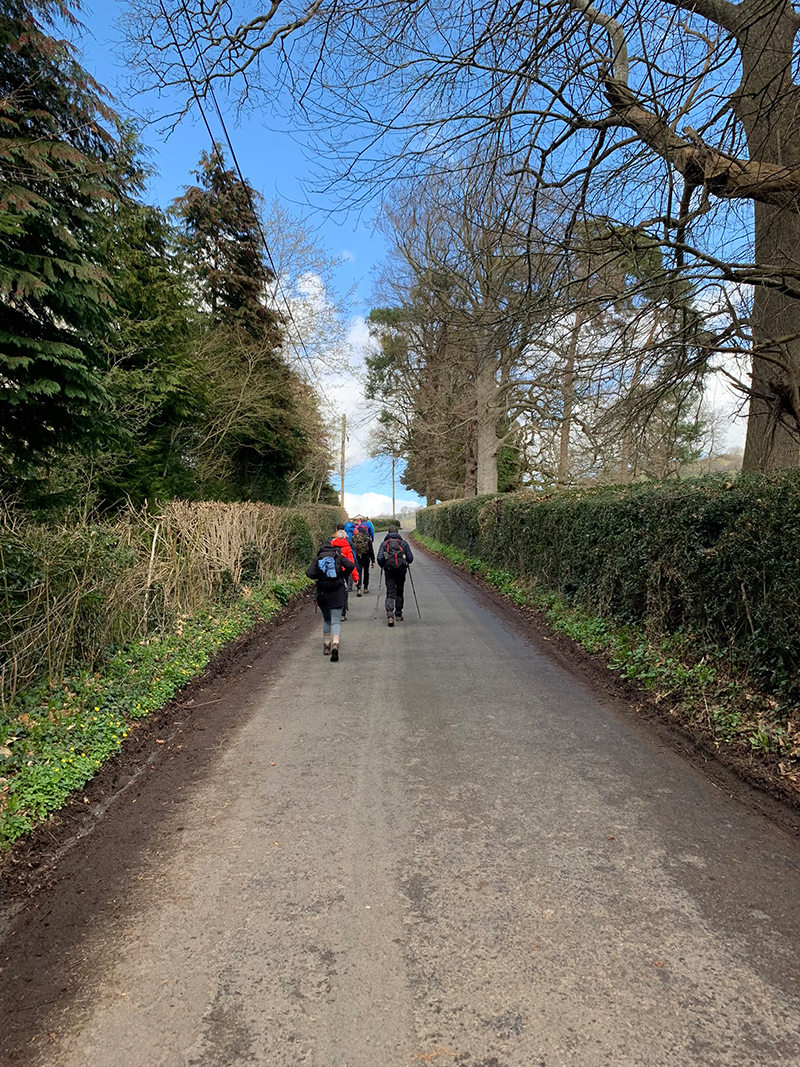
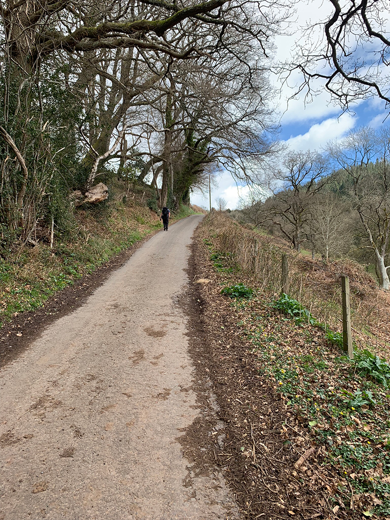
To get to the top of the Sugar Loaf we went down to the stream running through the valley, crossed over and then took a diagonal up to the ridge top, but as always there are many ways you can go, but this one just seemed the quickest although probably not the easiest, but at this point I don’t think there is an easy way up, it’s just a case of going for it and eventually you get there.
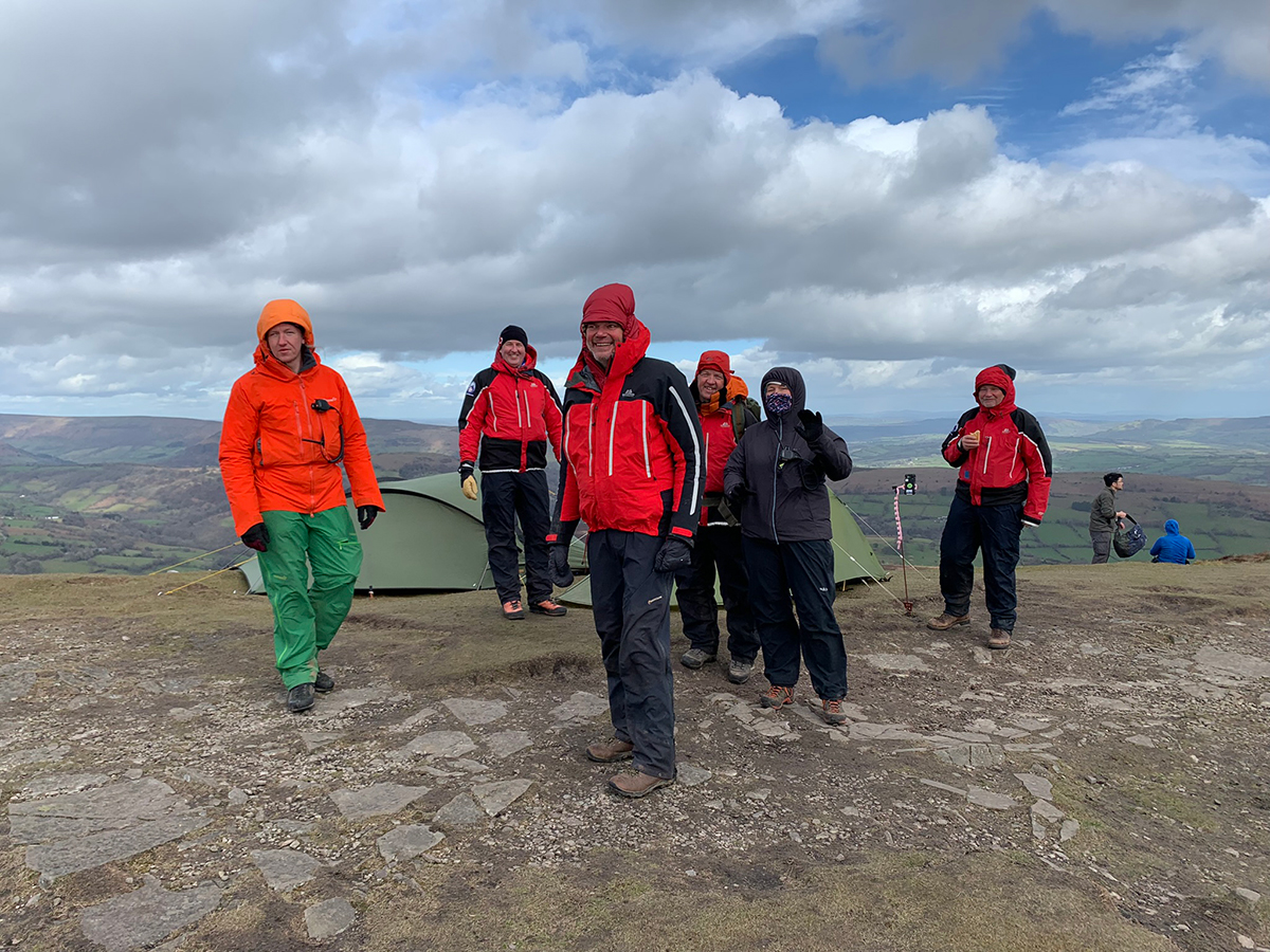
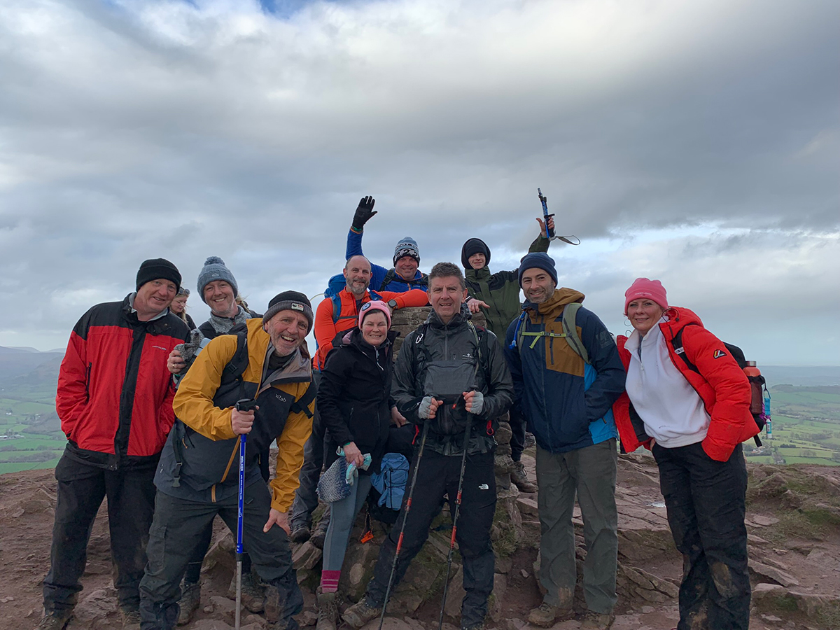
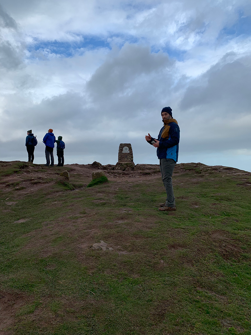
At the top we met some of the Longtown Mountain Rescue Team, they are so nice, and really helpful, and do an amazing job, so a big thank you to them.
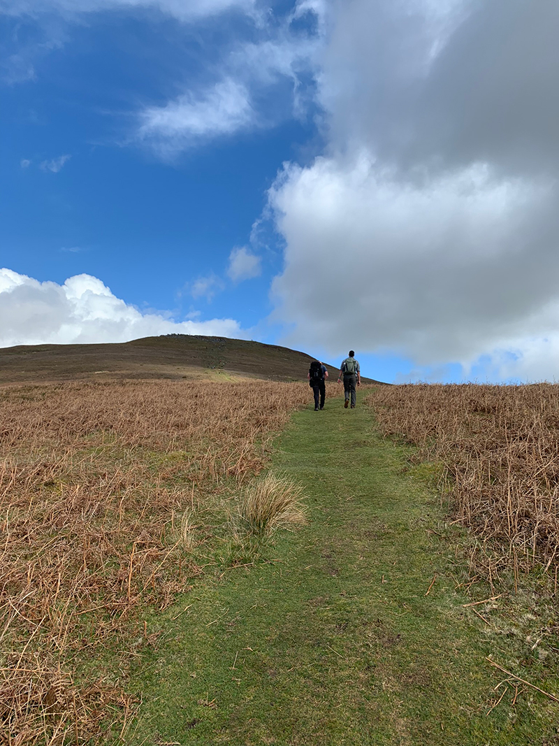
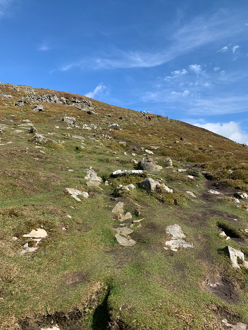
That’s peak number two in the bag, and after a rest and checking in we went down the other side of the mountain and walked towards the final mountain The Skirrid. It is quite a long walk this, as you’re leaving the one mountain, following a trail down to the lane that runs alongside the mountain, then picking up another lane that takes you to the foot of the last mountain.
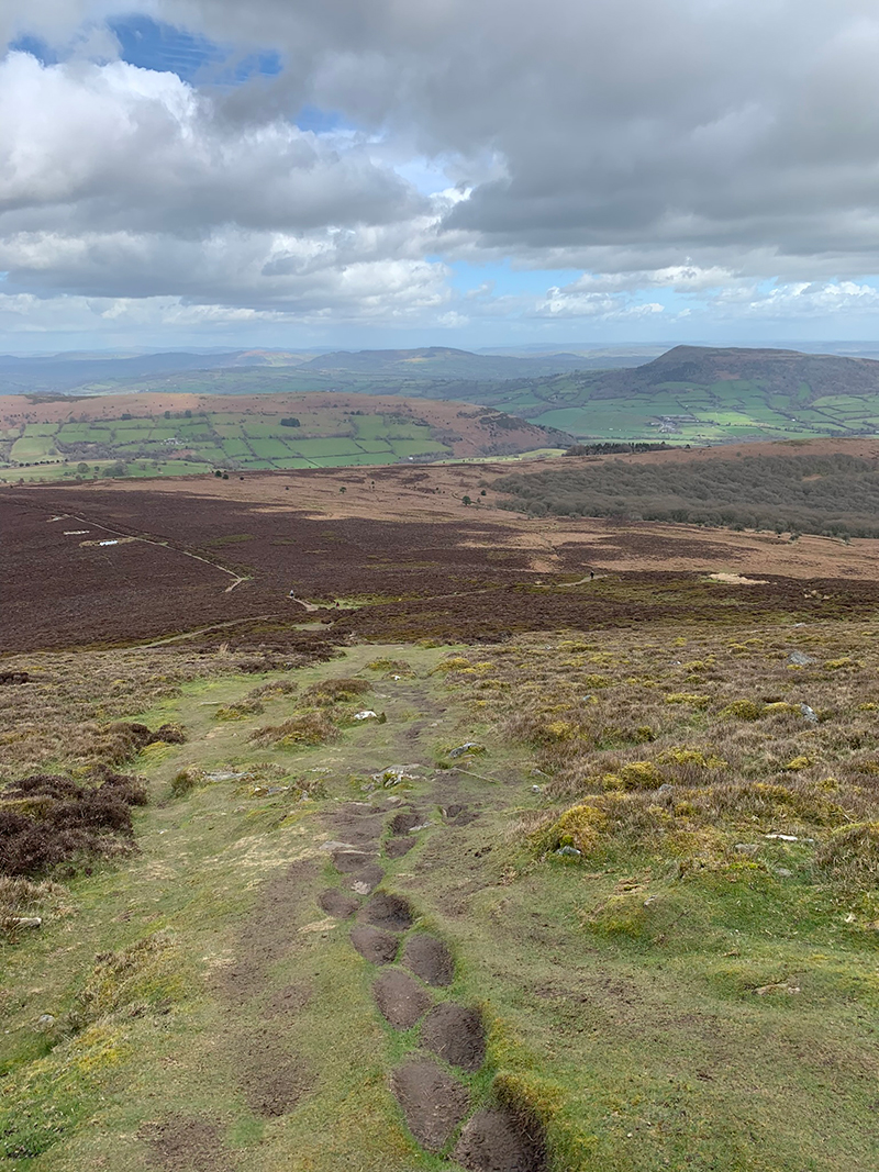
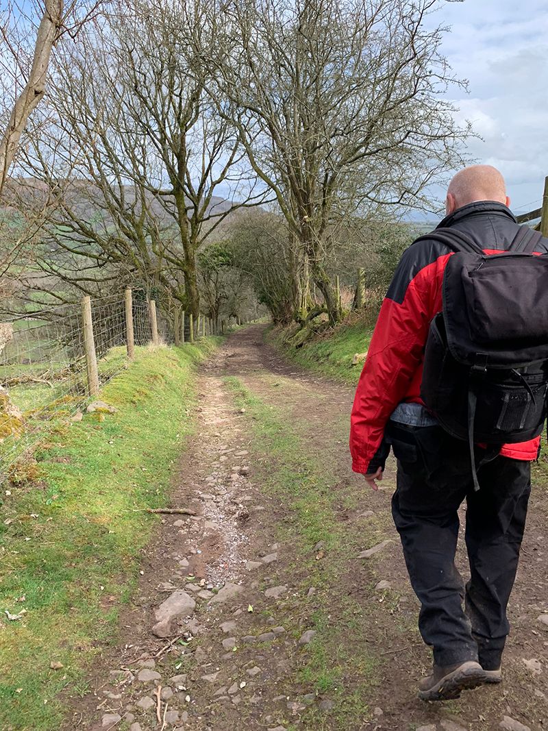
The good thing about going this way, is before you take a right to head towards The Skirrid, there is a lovely pub called ‘The Crown’, and they serve a great lager called 1985. We didn’t stop this time, but last year due to bad weather the challenge was cancelled at this point, so we basically spent a few hours in the pub instead.
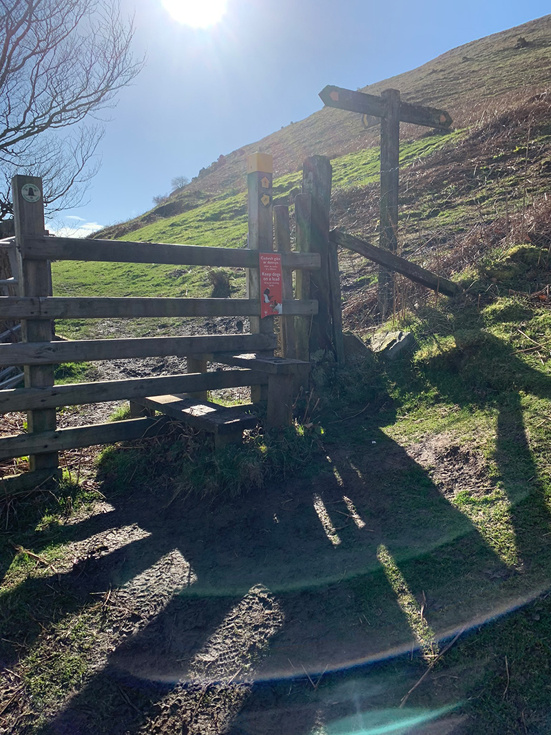
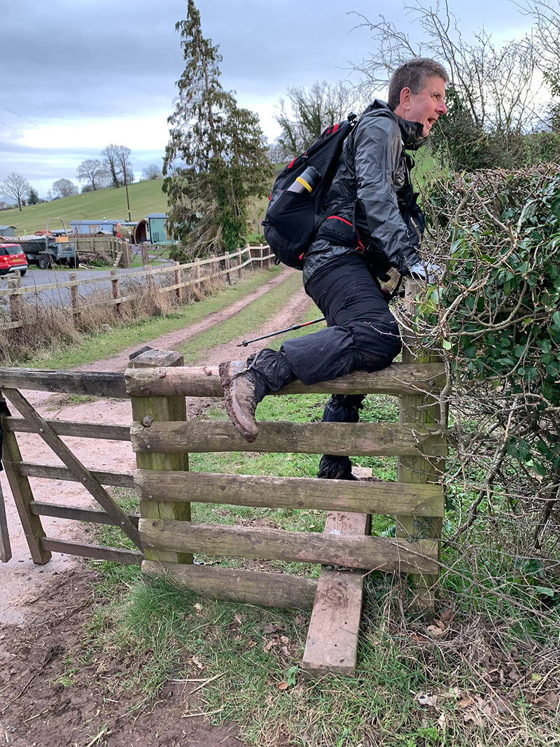
You will leave the lane and cut through farm land again, and over a few styles, then re-appear on another lane until you see a style on your right that will be the start of you walking up the last mountain.
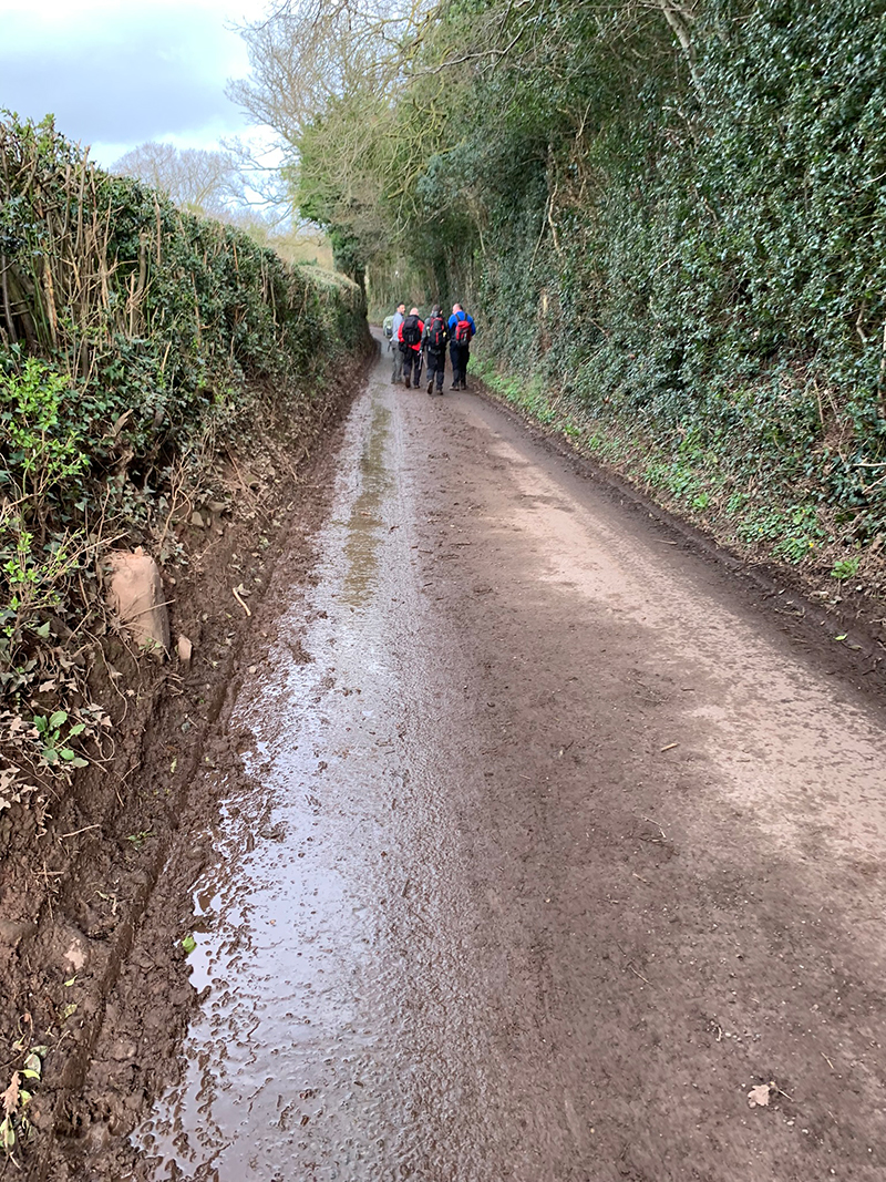
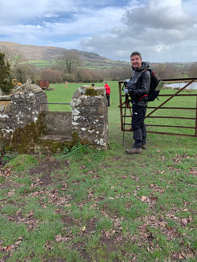
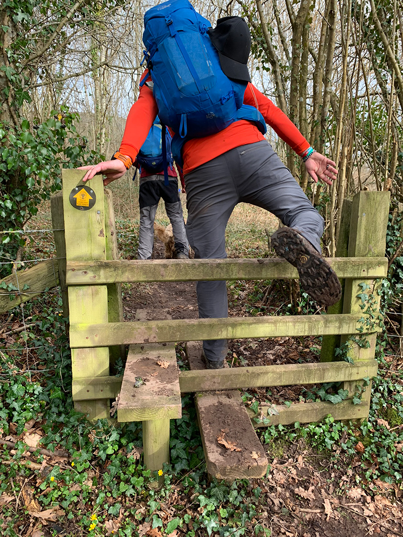
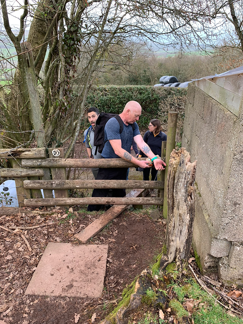
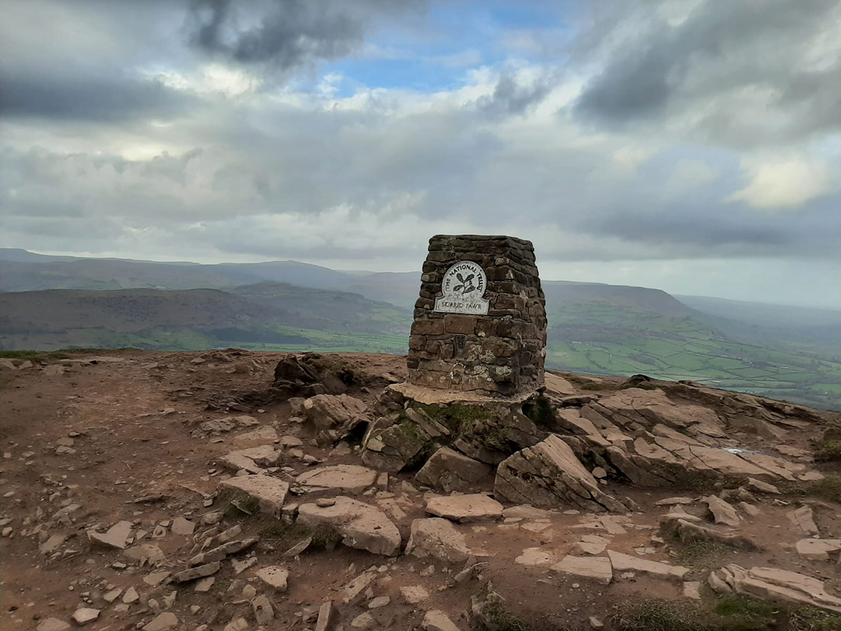
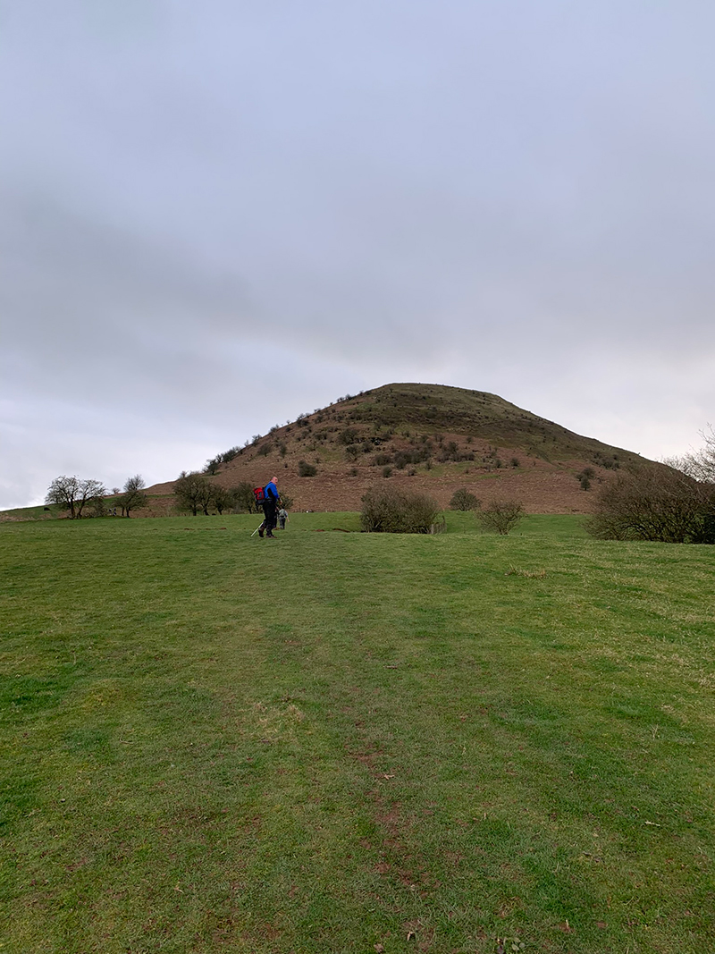
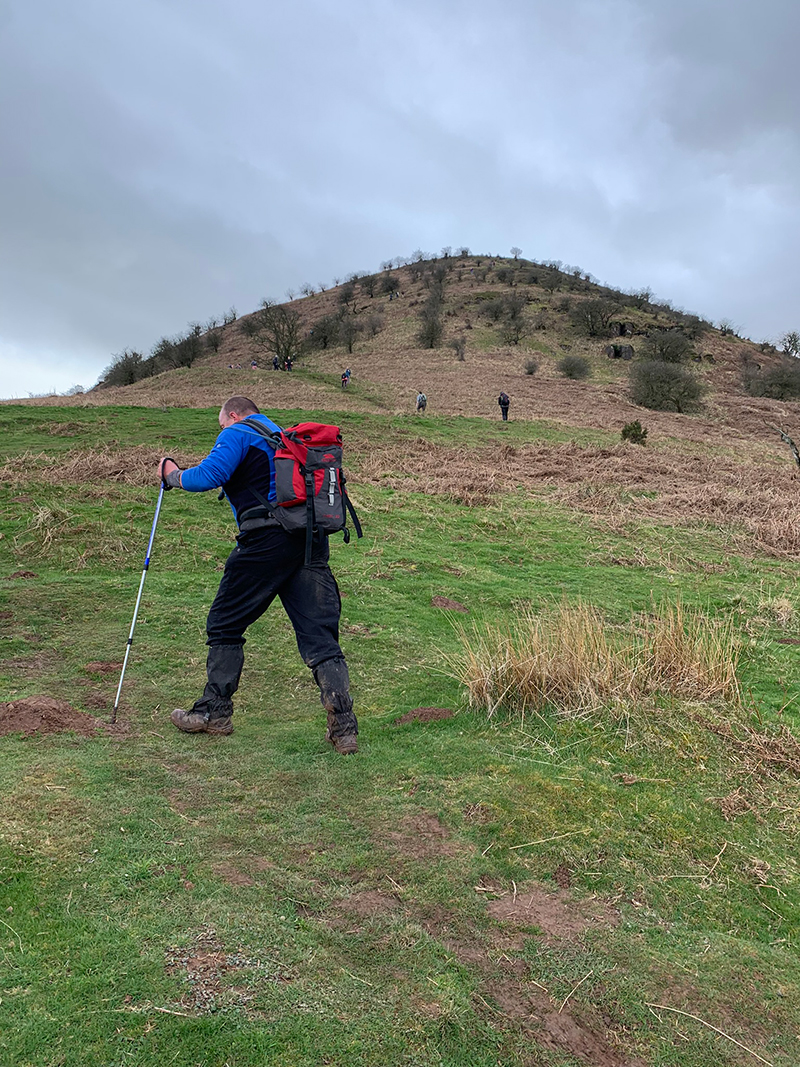
You approach The Skirrid from the back, the front side is a short tough climb, but going up from the back, and having done the last 2 and lots of walking, it was a very tough challenge, and it isn’t to be under estimated at all. We all had slowed down by this point, a bit of fatigue was starting to set in, and this did take a lot of effort.
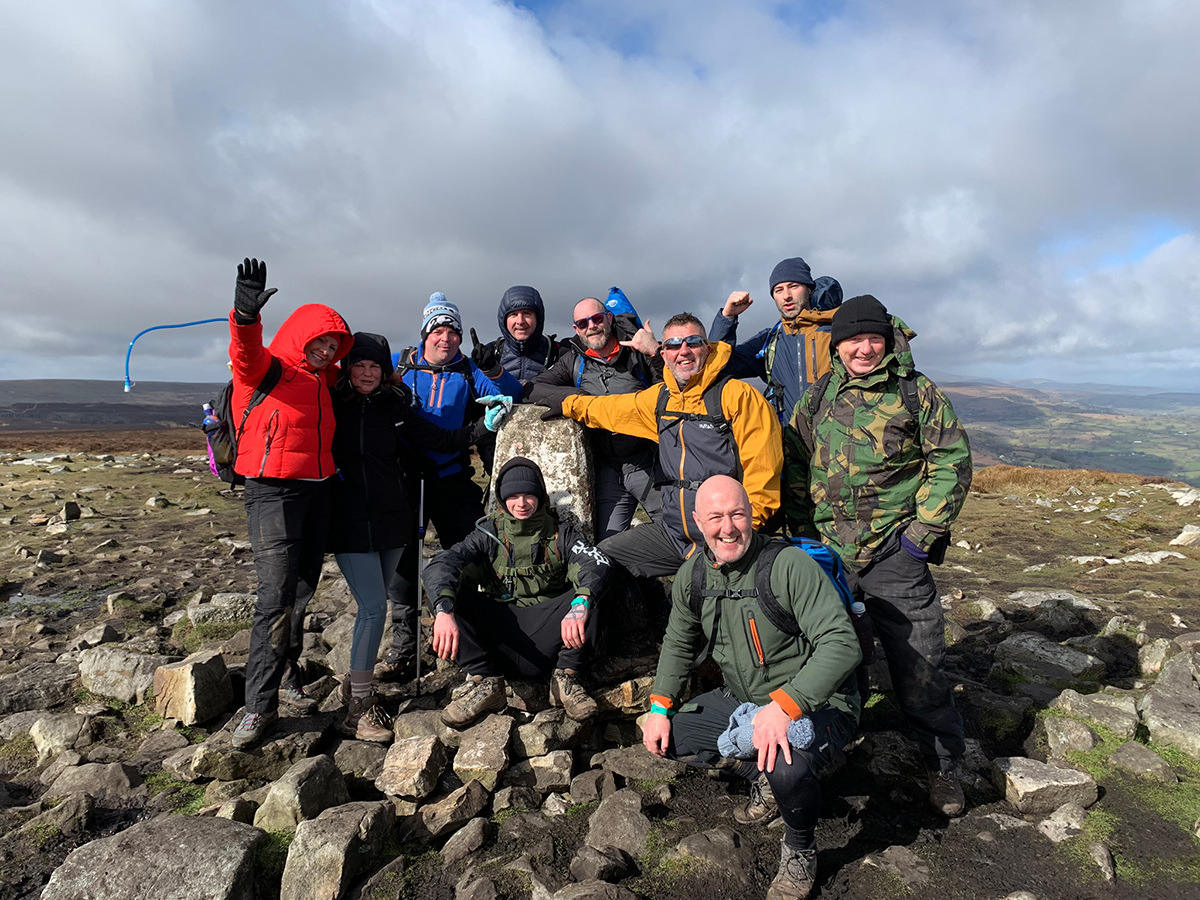
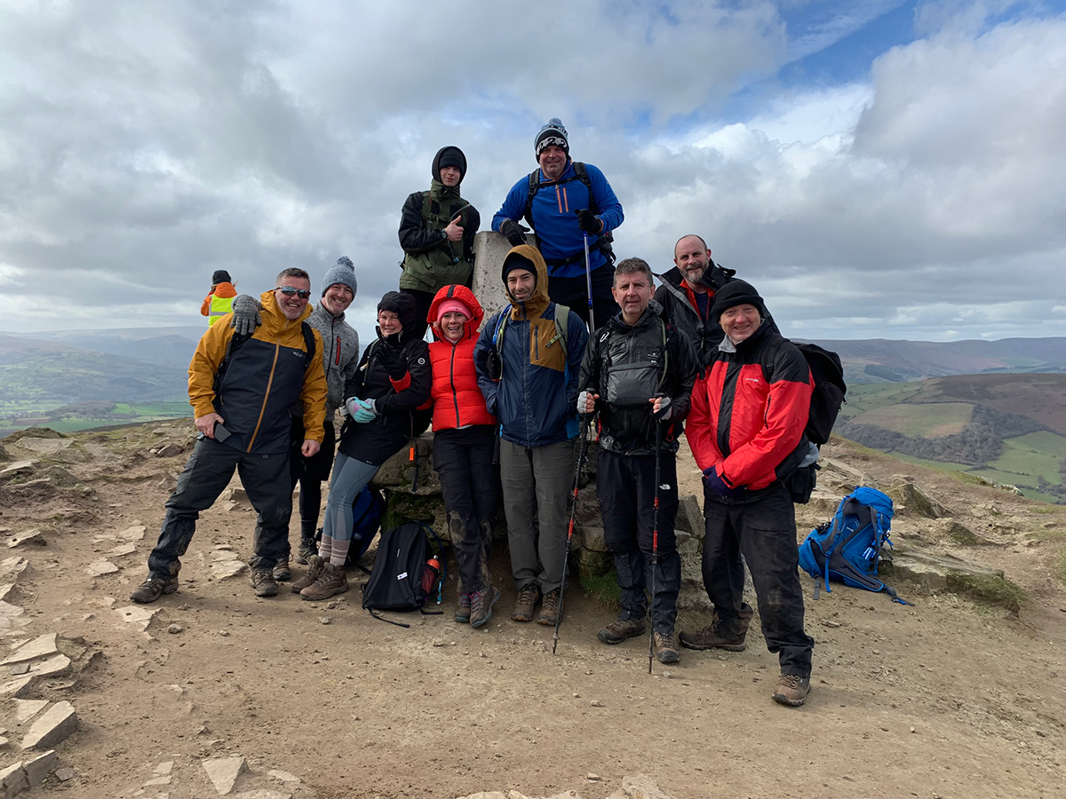
But once again we all got up there, and it was a great feeling to all be stood at the top, looking at the route we had just completed and have another little break before once again setting off down, and working our way back to the car park in Abergavenny.
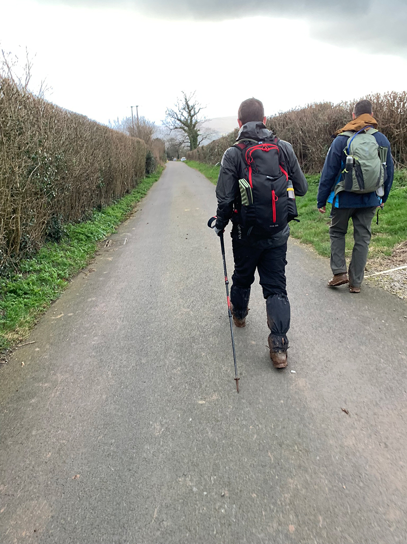
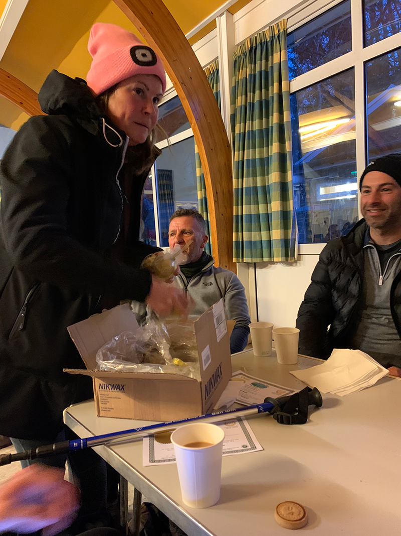
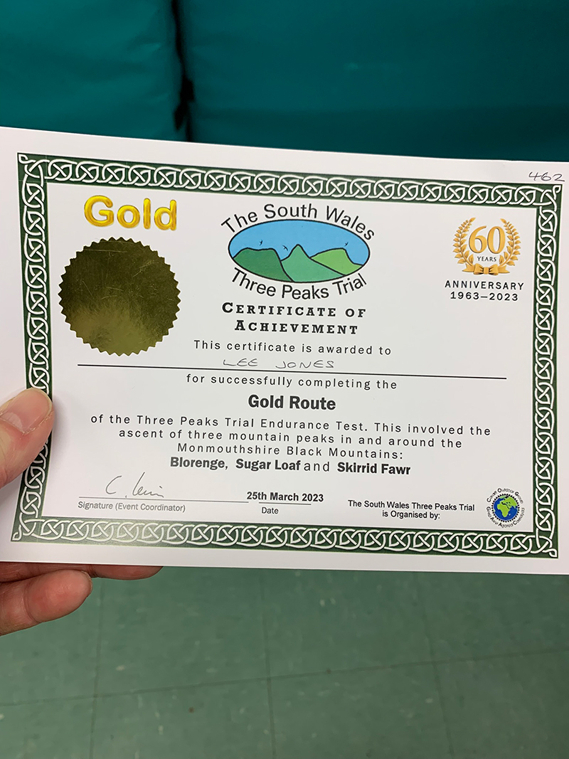
That’s it, you’re all done, back at the car and hopefully the weather has been good, and you have had a great experience.
It is worth downloading this route onto your outdooractive app, it’ll re-assure you time wise and that you’re not heading in the wrong directions. There is so much space up there and lots of alternative paths you could accidently join.
Hope you enjoy this walk, and I’d love it if you could share this post either with the social media buttons that follow you down the screen on your left, or below in the footer. Also, comments are very welcome, I love meeting new people and talking and you never know we could meet up on one of our walks.
Fundraising for CALM, they do save lives!
Do you want to join me in making a difference? I’m raising money in aid of Campaign Against Living Miserably and every donation will help. Thank you in advance for your contribution to this cause which means so much to me.
More information about Campaign Against Living Miserably: Campaign Against Living Miserably (CALM) is leading a movement against suicide. Every week 125 people in the UK take their own lives. And 75% of all UK suicides are male.
CALM exists to change this. Join the campaign to take a stand against suicide.
Please donate an amount you can afford, everything helps these poor people.
I have raised £572 so far, and I will keep trying to raise more.

