At Symonds Yat the views and the natural beauty are the star attractions, but there are also many points of interest, and for us that included King Arthurs Cave, Biblins Bridge, Near Hearkening Rock, and the big rock at Symonds Yat Rock, and of course the River Wye which flows all the way through which you walk along quite a lot.
Walk this route yourself in 3D!
The Video is a 3D walk through of this route, it will give you a unique sense of having walked through the route before you start.
I have created 3D Videos of my adventures and have shared them with the OutdoorActive community as well as my walking community.
You can drive to Symonds Yat Rock and park there, but noticing there were a couple of really interesting things to see and walk to, we put the circular together and we really enjoyed it. Symonds Yat East & West has to be one of the most beautiful areas of the UK, and it’s full of walkers of all ages, campers, tourists, kayakers, cyclists and because of this, it’s well maintained, has some excellent facilities and the trails are really good and well-trodden. We were able to stop and buy a coffee twice, there plenty of places to have a little rest on cut out logs, benches and so on, but there also plenty of places where you can be on your own in the woods, and really feel you’re off exploring and following trails.
If you’re fancying a bit kayaking or canoeing along the Wye, I highly recommend Symonds Yat Canoe Hire, and you’ll get to meet the legend Guy who’ll give you all the best advice for the day, you’ll love it.
Give this walk a go, I can honestly say you will love it, and would love some feedback if you do.
Getting There: Directions, GPX and App Link
The Hiking App I use is ‘OutdoorActive‘ which has a free and Pro version, the Pro version will allow you to download the routes to your phone and use them without using up your data. The reason I mention it is that if you were to download it, below is the link to this route in my hike list on that app, you can follow the arrows and voice on that. I think it is best that you do get the app, as most of these walks are a bit tricky to explain.
- Travelling from Monmouth along the A40, look for a sharp left at a place called Ganarew, you will come back on yourself, travel back over the A40 and then you just follow the signs for ‘Doward Park Campsite‘. Just before the campsite there is a free car park, we parked there.
- Travelling from the other direction along the A40, just after Whitchurch, leave the A40, and travel along ‘Sandiway Lane’ until you reach ‘Doward Park Campsite‘. Just before the campsite there is a free car park, we parked there.
Navigation Aids:
Hike Map
Hike Profile
- Distance: 8m / 13km
- Duration: 5 hours
- Highest point: 587ft / 178m
- Difficulty: Moderate (steep short climbs), sometimes loose terrain through the woods.
- Route conditions: Well-worn pathways most of the way around, good walking shoes are a must really.
Hike Description & Pics
Best place to start is the ‘free car park‘, just before Doward Park Campsite. The car park is quite small, so if it’s full you may have to park in the campsite after all, just 500 yards up the road. We got there at around 9am on a Sunday, and managed to park easily, but when we returned it was full up at around 2pm.
At this point you have 2 options, you can continue up the road walk past the camping site, and then you’ll come across the message board for the caves on your right. I have added this way to the app route as it basically makes for a better-looking route, seeing you do a bit of a circle to then head down to the river.
But at the free car park there is a path to the right that will take you to the same place, and you will see another message board for ‘King Arthurs Caves’. Once you have finished looking at the caves, follow the app route advice and you’re then basically back on track.
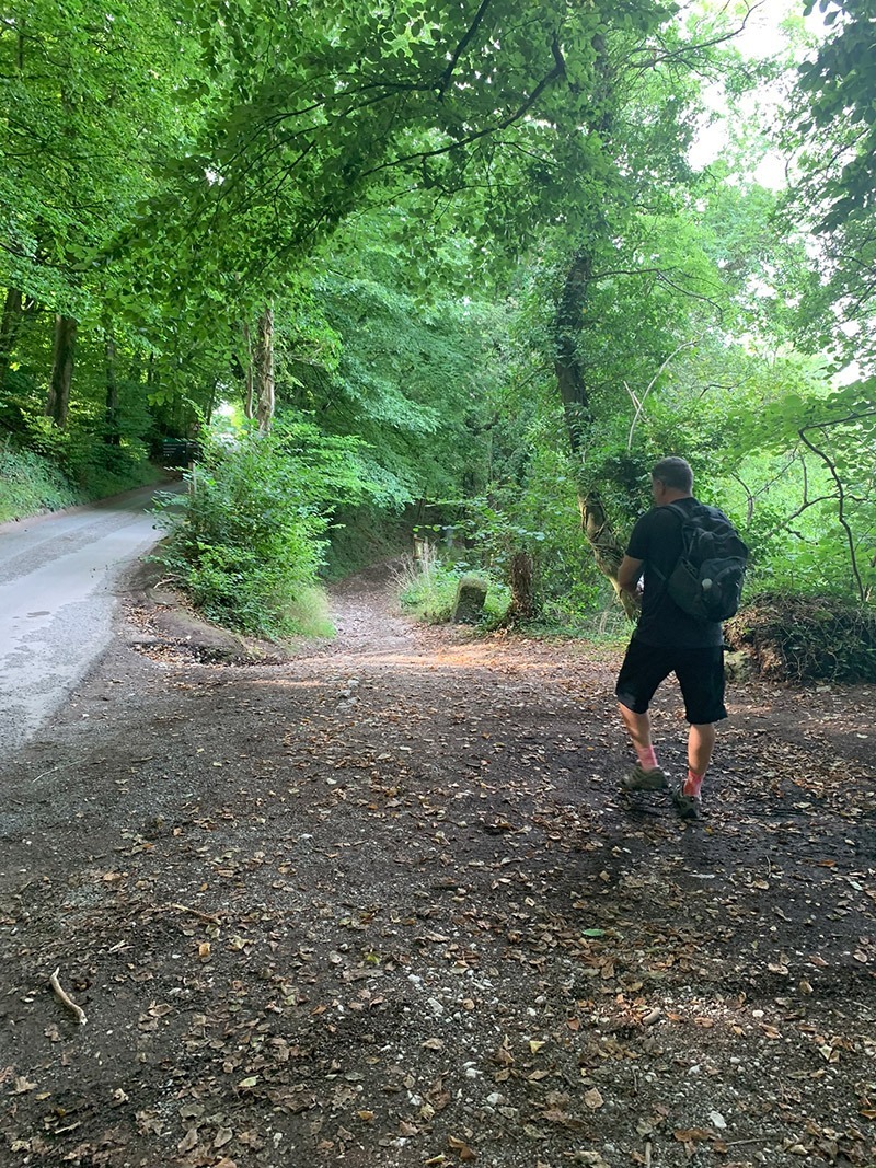
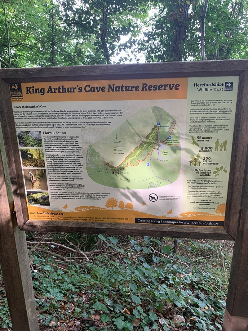
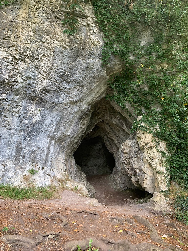
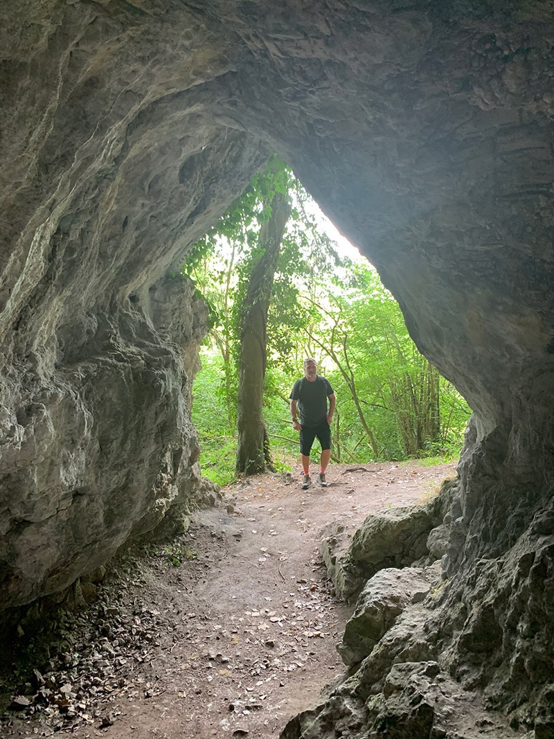
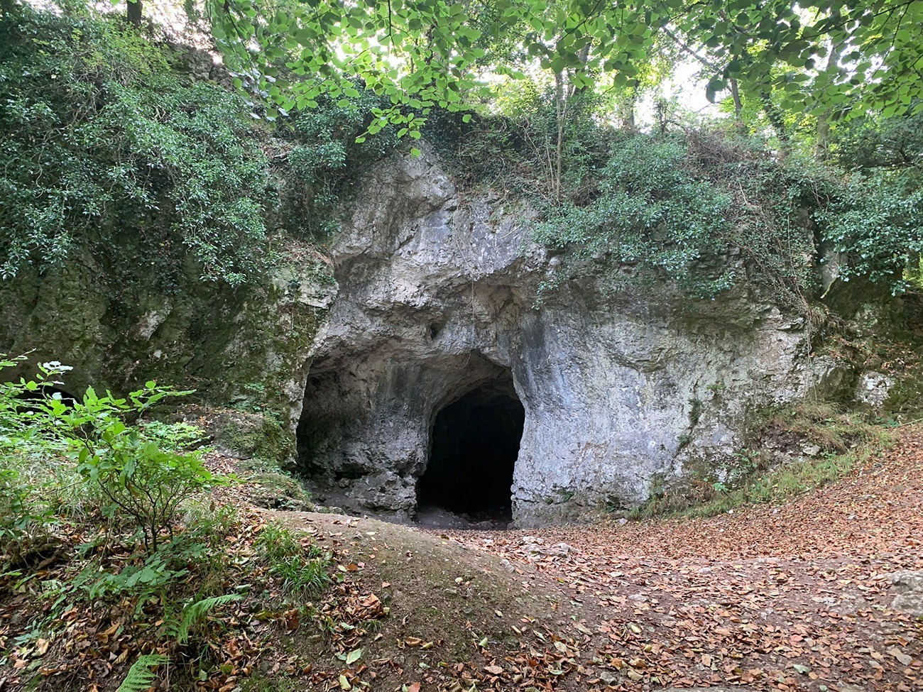
The King Arthur’s Cave nature reserve, is a really interesting area, and the shade in the summer is beautiful. The old quarry workings and a number of small caves provide a refuge for Horseshoe Bats and best to warn you, it also gives a home to the Cave Spider and hibernating Herald Moths.
King Arthur’s Cave is a limestone cave that was occupied by man during the Upper Palaeolithic era, and flint tools and woolly mammoth bones have been unearthed within and around the caves. There is also a bit of a story where a skeleton of a “giant human” was supposedly discovered in the cave around 1700, but was lost when a local surgeon named Mr. Pye took the skeleton to sea on a voyage to Jamaica and his ship sank.
Once you are back on the route, you will head down to the River Wye and follow that for a short while until you arrive at ‘Woodcroft Folk’ inside ‘Biblins Youth Campsite’. This is a really well-maintained campsite and sits right on the river, and as we walked through all we could smell where people having breakfast, so make sure you’ve had yours before you leave, we were tempted to ask for a bacon sarnie!
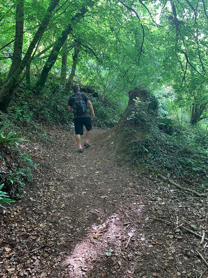
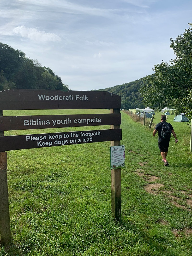
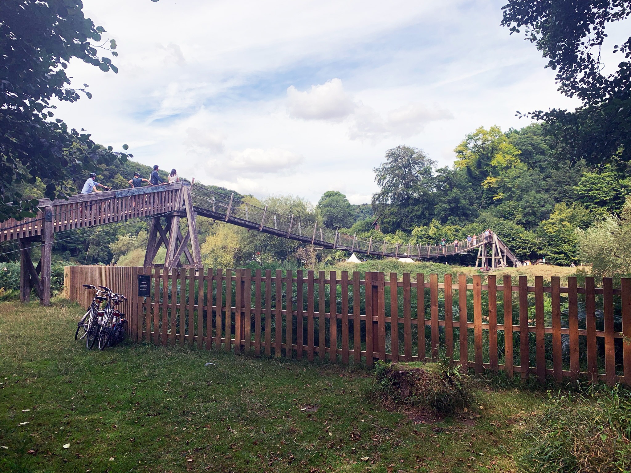
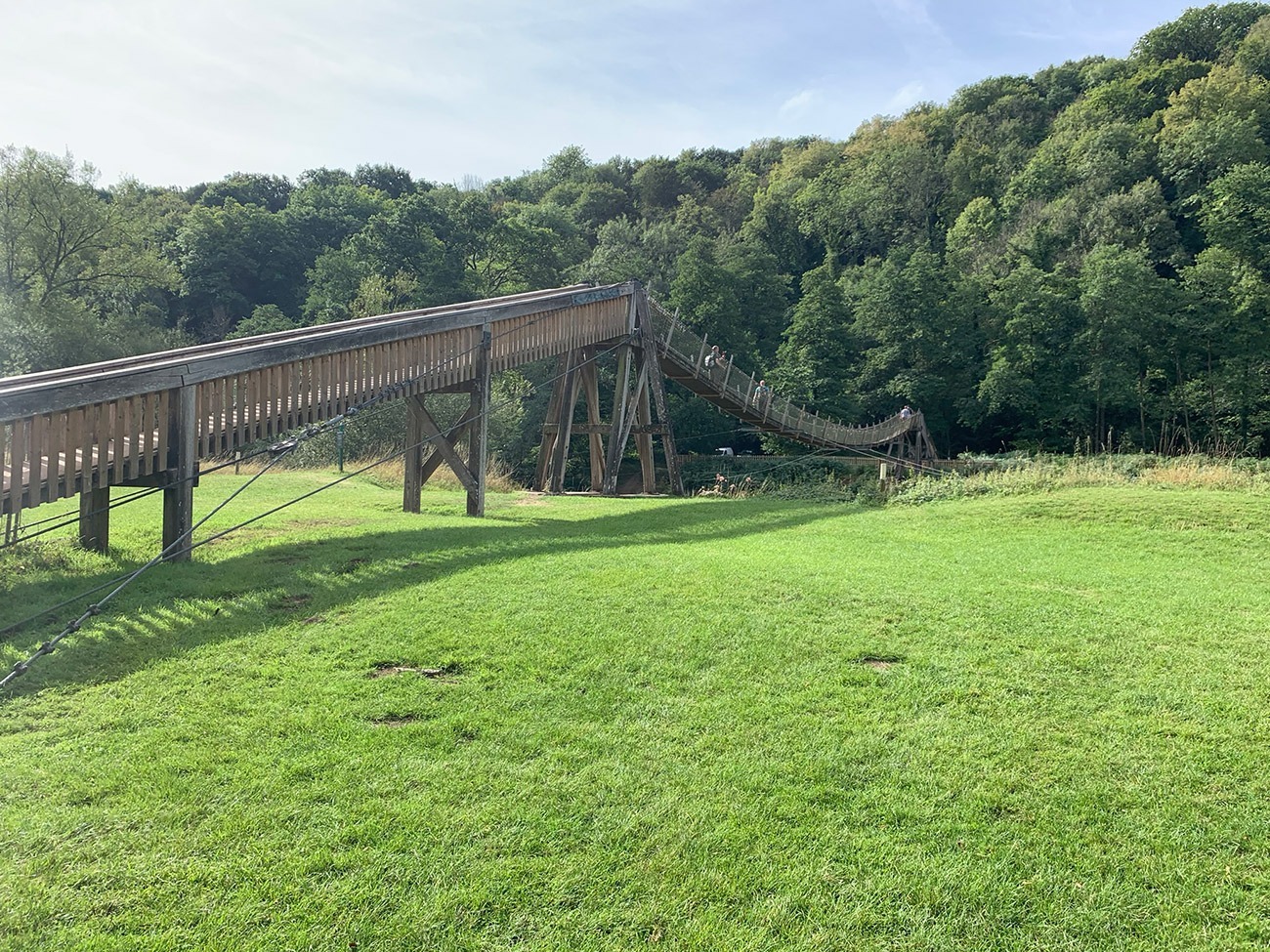
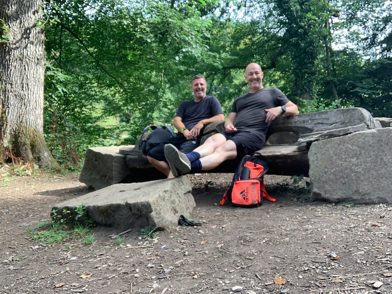
Walk through the campsite, follow the river and then you will walk straight towards the fantastic Biblins Bridge, which is the only crossing over the river for another 7 miles. It connects the Forest of Dean with the wider Wye Valley Area. Back in 1919, this site was a winch point for moving logs across the river and then in 1924 this was converted to a footbridge. The wire mesh suspension bridge that is there today was originally built in 1957, but much of it has been replaced since. On the other side is where we took our first break, sitting on a carved-out tree having a flask of coffee and some snacks.
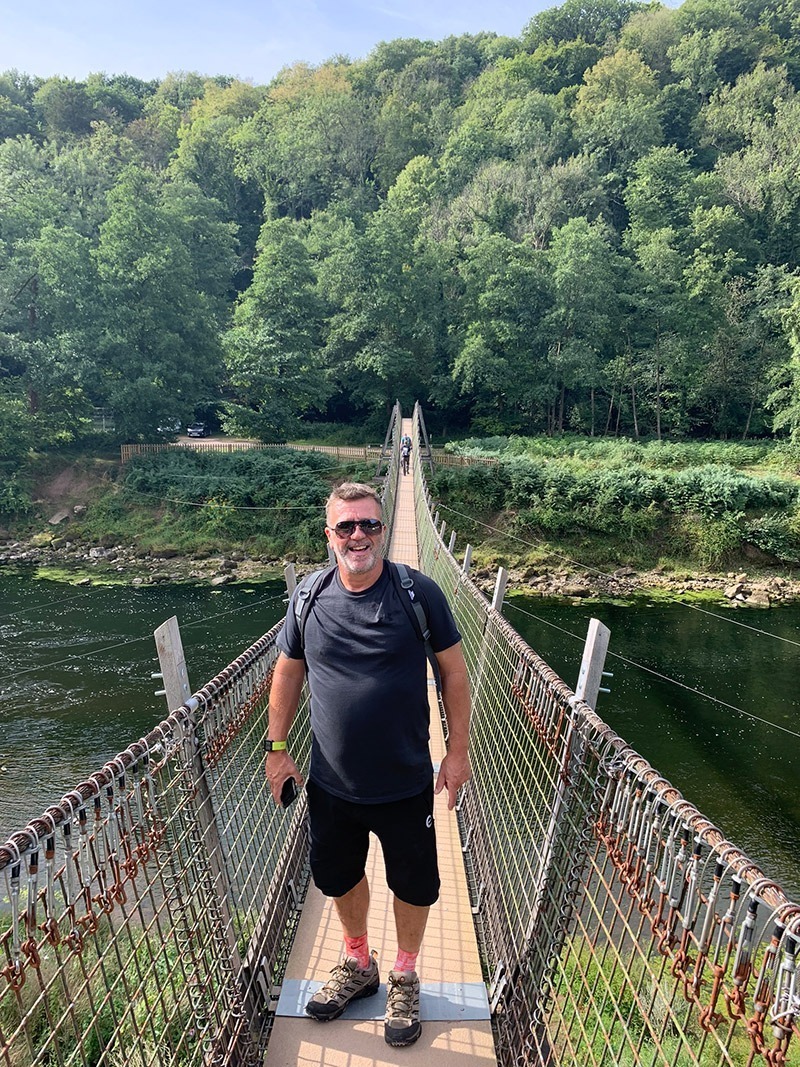

After you walk off the bridge, head to the left, and you will see the log above, but you also have 2 options here. The one option is to keep walking along this path, and you will arrive at the bottom of Symonds Yat Rock, and also a few pubs, and here you can walk up to the rock. The other option is to walk up quite a steep incline through the woods and take in the view from Near Hearkening Rock. If you go this way which I have put in my route, you will eventually walk back along this path to the bridge from Symonds Yat Rock.
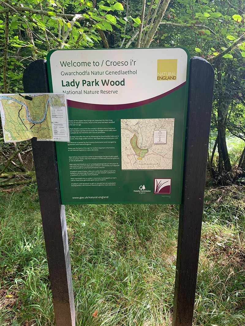
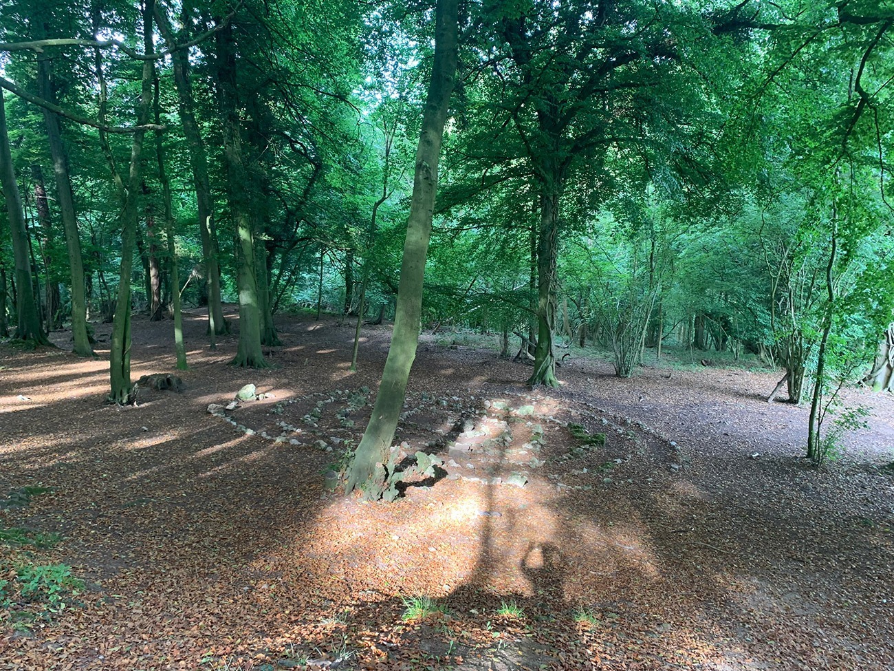
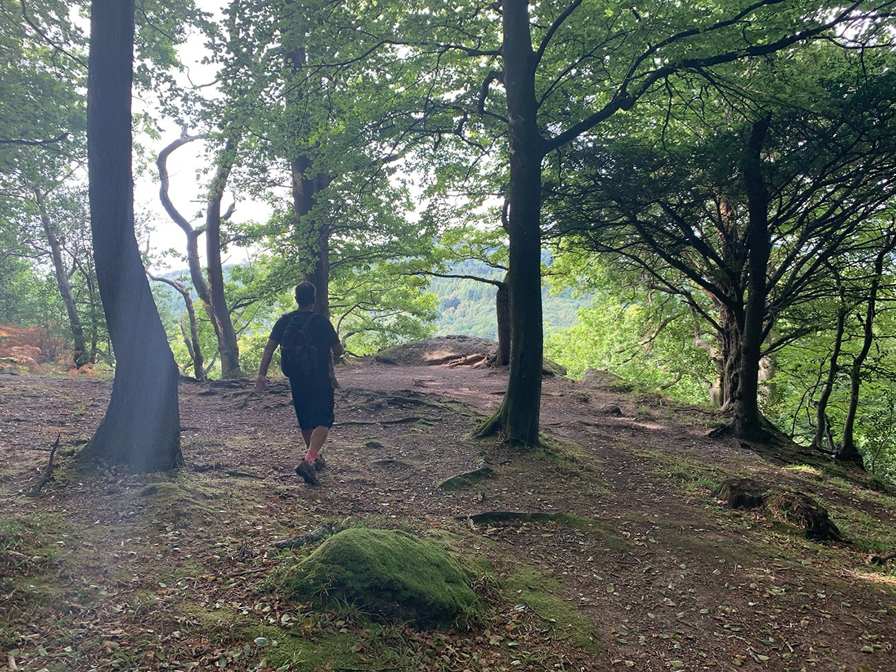
We decided to take in the hike up through the woods, and if you decide to also, just up the path from the bridge there is a not so clear cut through on your right which will take you up through Lady Park Wood, which has an interesting story as it was set aside in 1944 to study how natural woodlands develop. Near Hearkening Rock was supposed to have been a listening post used by gamekeepers to detect poachers in search of the Kings Deer (and by Royalist Troops during the Civil War). It is a bit of a trek up there, but the woods are beautiful and very quiet.
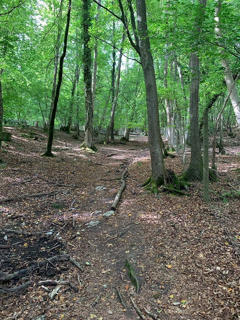
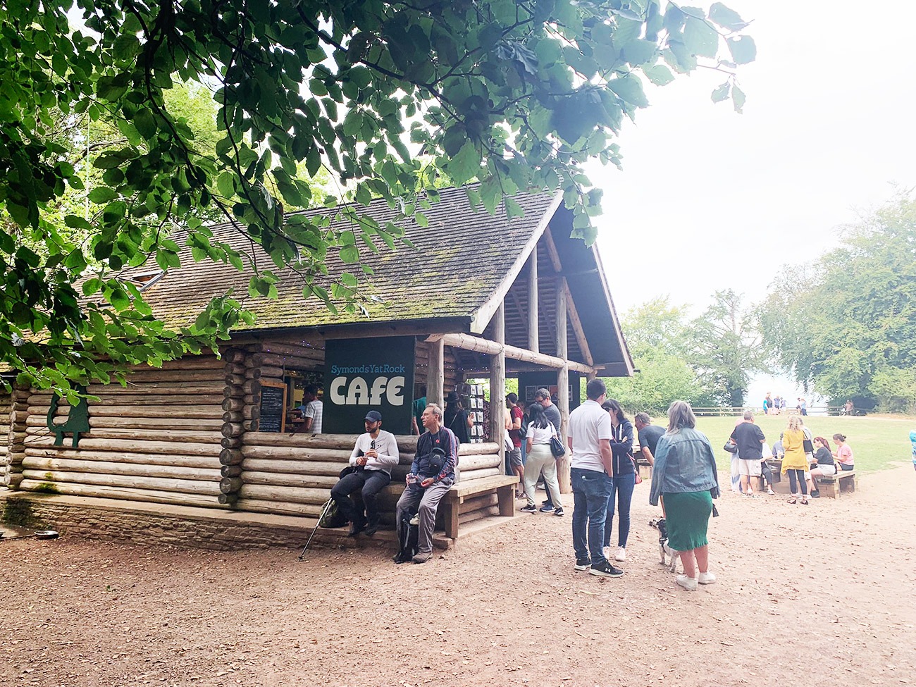
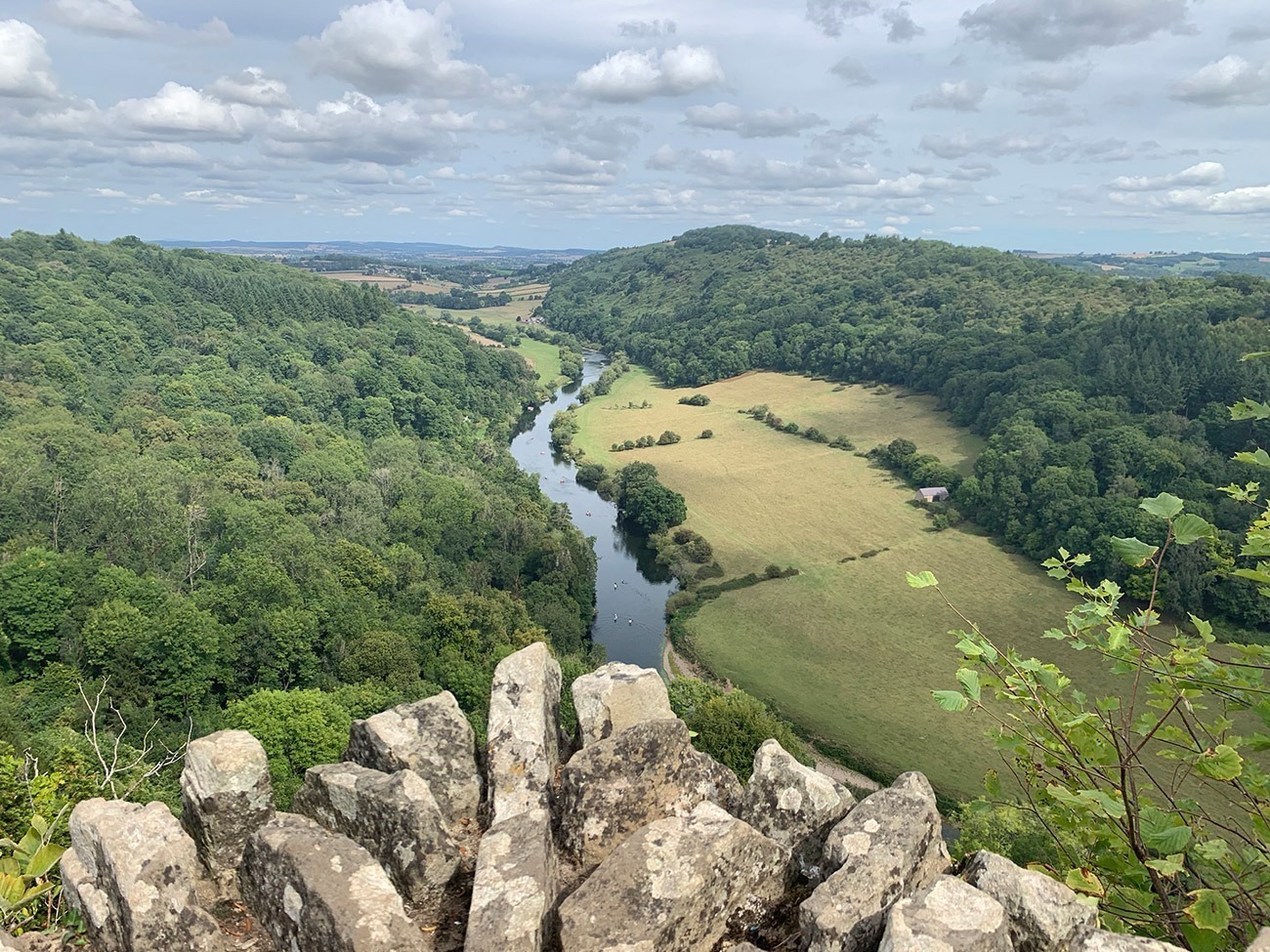
From Hearkening Rock you back on yourself a little bit, and the route will guide you through the woods along well-worn paths, as you zig-zag your way towards Symonds Yat Rock. It is a beautiful route, and we didn’t see many people, and it is also a popular route for bikers, so just always be aware. After an hour and half or so, you know you have reached the Symonds Yat rock because you will join a road, and then a big car park, probably quite full as this is a really popular tourist destination. But don’t let that put you off, the facilities are very, very good, it’s very relaxed and the views from the rock are amazing. It is a modern tourist attraction, the car park is £7 for the whole day and you can have something to eat and drink in the cafe.
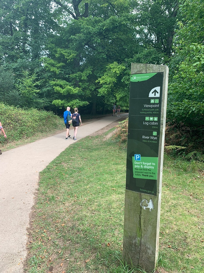
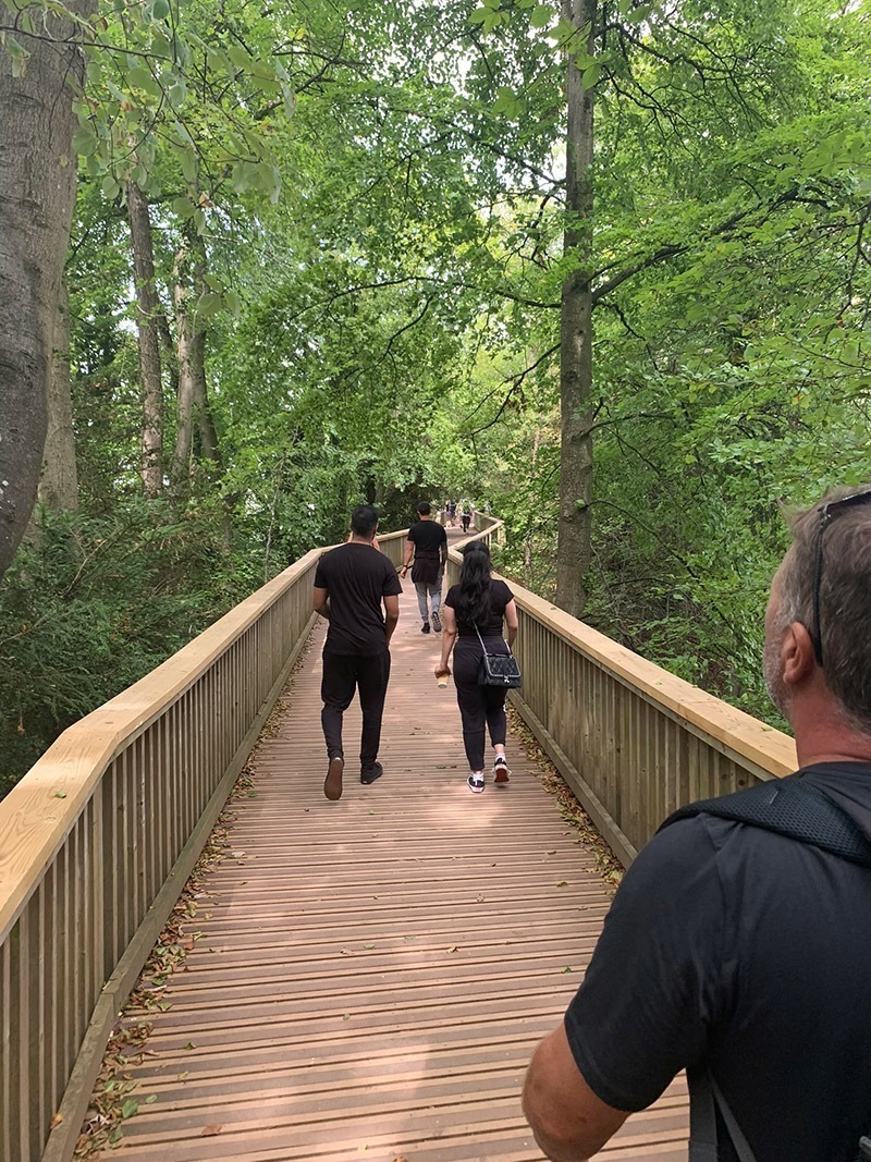
The first wooden building are the toilets, then follow the ‘Viewpoint’ signs which will take you to the Cafe area and the beautiful walkway to the views.
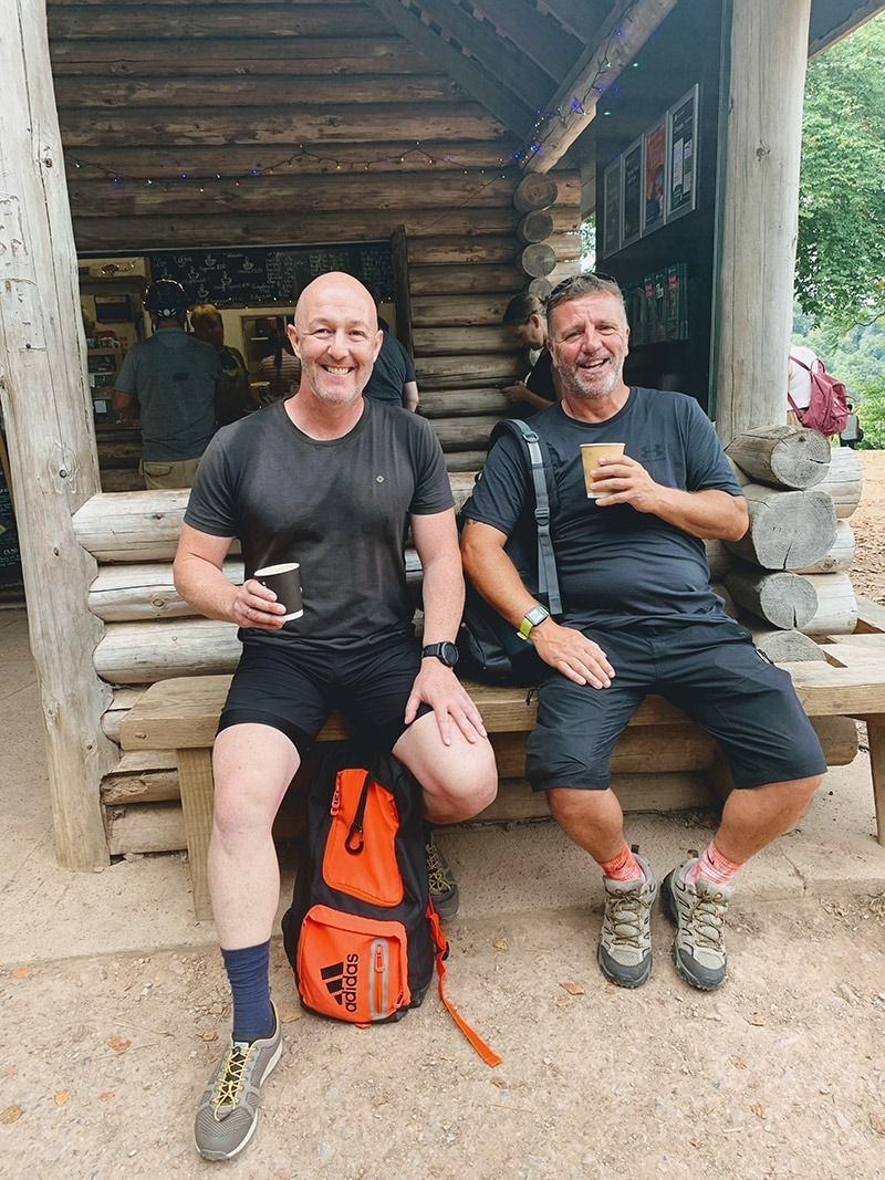
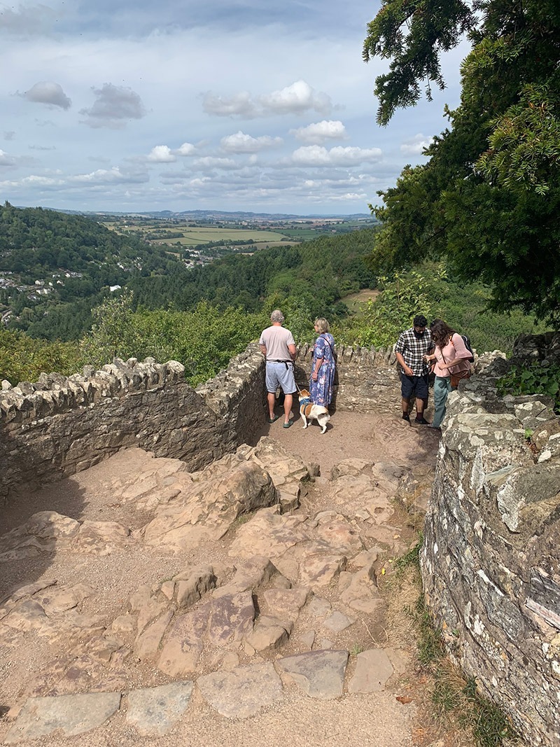
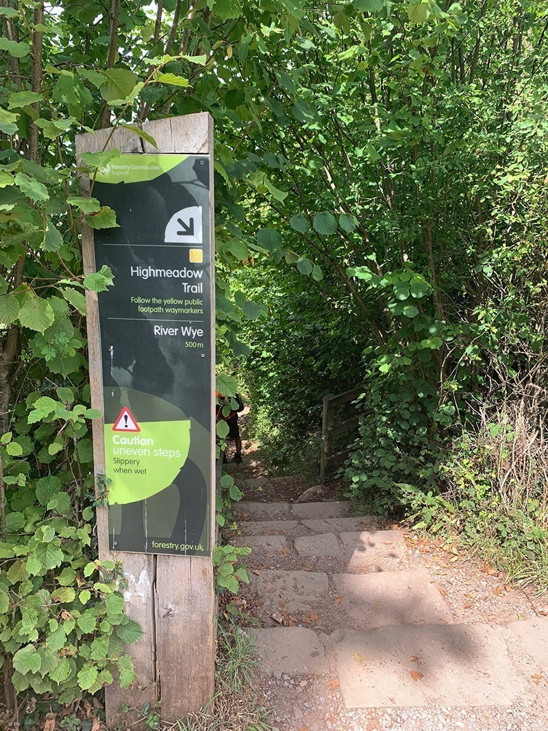
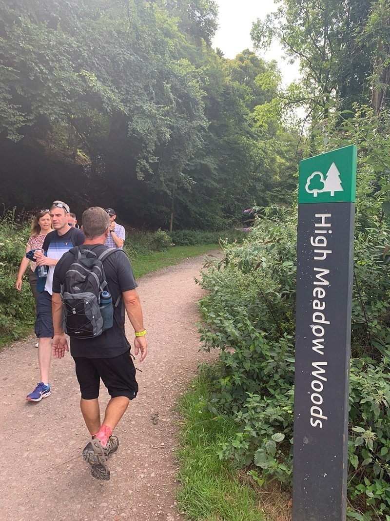
We had a nice rest at the top, then found our path down from the rock which was called ‘Highmeadow Trail’ which is just up from the cafe. That path will take you all the way down and back onto the flat next to the River Wye. We then turned left, walked through the car park, and joined up to ‘High Meadow Woods’ which is a long flat walk along the River Wye back to ‘Biblins Bridge’.
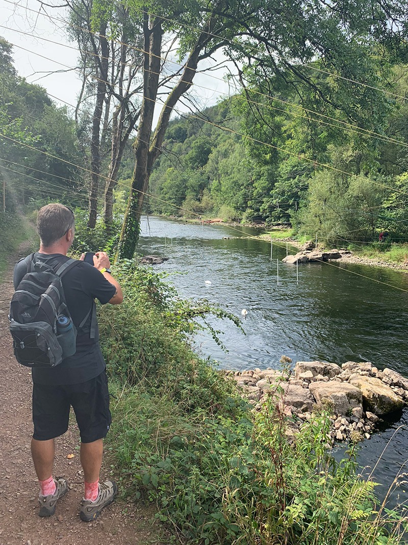
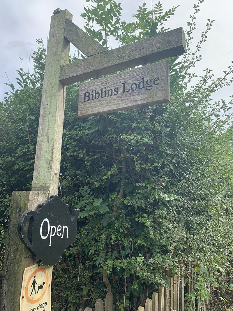
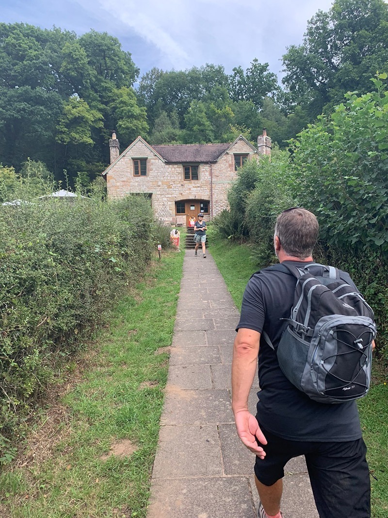
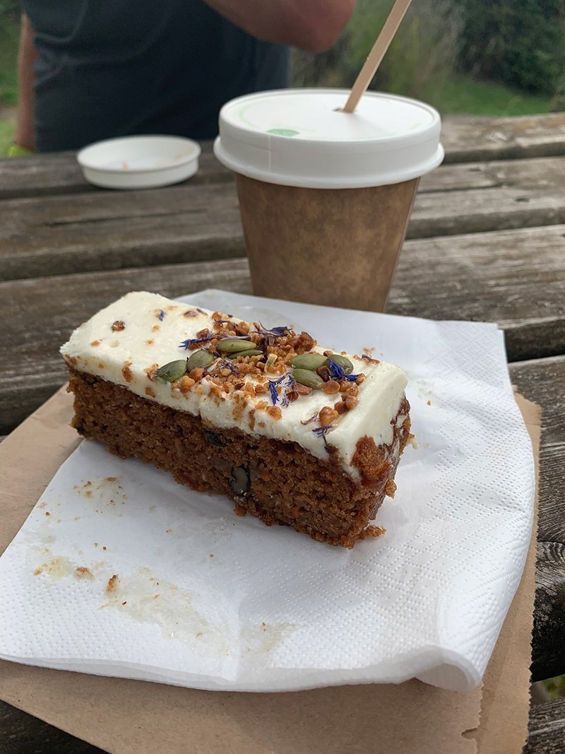
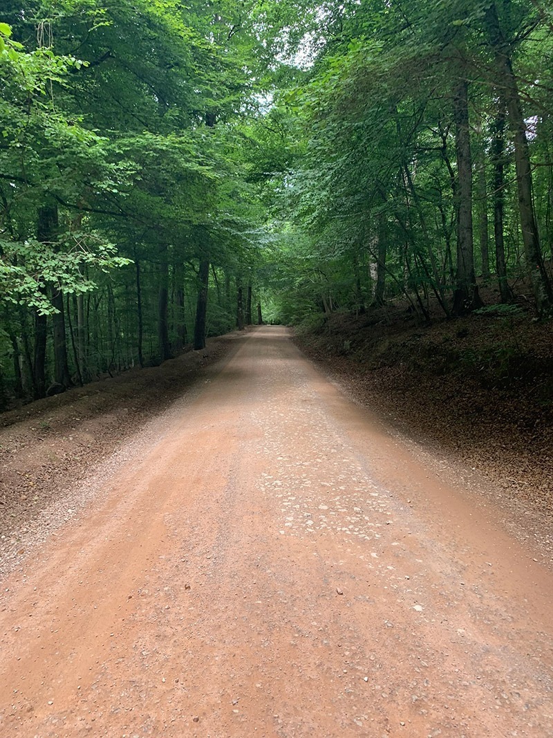
Over the other side of the bridge the route is to turn right and look for the road which heads up through the woods back to the top. Before taking that road, instead we turned left off the bridge and went for a coffee and a bit of cake at ‘Biblins Lodge/Tea Room’. Back on the road, it is quite steep, and can be pretty busy, but it’s only for private cars. Once you reach the top, you will arrive back at Doward Park Campsite, then it’s simply a 500 yard walk down the lane to the car.
That’s it, you’re all done, back at the car and hopefully the weather has been good, and you have had a great experience.
It is worth downloading this route onto the Outdooractive app, it’ll re-assure you time wise and that you’re not heading in the wrong directions. There is so much space up there and lots of alternative paths you could accidently join.
Hope you enjoy this walk, and I’d love it if you could share this post either with the social media buttons that follow you down the screen on your left, or below in the footer. Also, comments are very welcome, I love meeting new people and talking and you never know we could meet up on one of our walks.

Fundraising for CALM, they do save lives!
Do you want to join me in making a difference? I’m raising money in aid of Campaign Against Living Miserably and every donation will help. Thank you in advance for your contribution to this cause which means so much to me.
More information about Campaign Against Living Miserably: Campaign Against Living Miserably (CALM) is leading a movement against suicide. Every week 125 people in the UK take their own lives. And 75% of all UK suicides are male.
CALM exists to change this. Join the campaign to take a stand against suicide.
Please donate an amount you can afford, everything helps these poor people.
I have raised £572 so far, and I will keep trying to raise more.


I followed this walk last week via Outdoor Active and it was a great route. Tks Lee.
Thanks Gary, always good to have some feedback, and great to see you today on the Sugar Loaf walk. See you soon
We are coming to Symonds yat and would start our walk from there and obviously want a circular walk. To include the bridge and the caves along with anything else. Suggestions would be great please.
V
Hi V, well this walk you are looking at is the perfect circular for what you are looking for. It starts above Biblins then you make your way to the caves, then down again to the river, along there and to Biblins Bridge. Then if you follow this trail that I uploaded to my Outdooractive account, it will then take you through the woods, and over to Symonds Yat rock, and then down from there, back to the bridge, and up and return to the car park. You can download the route as a gpx file, or use it on the Outdooractive app, and it’s free. If you need any help with the app and how to access the trail, just let me know. Thanks for getting in touch also. Lee