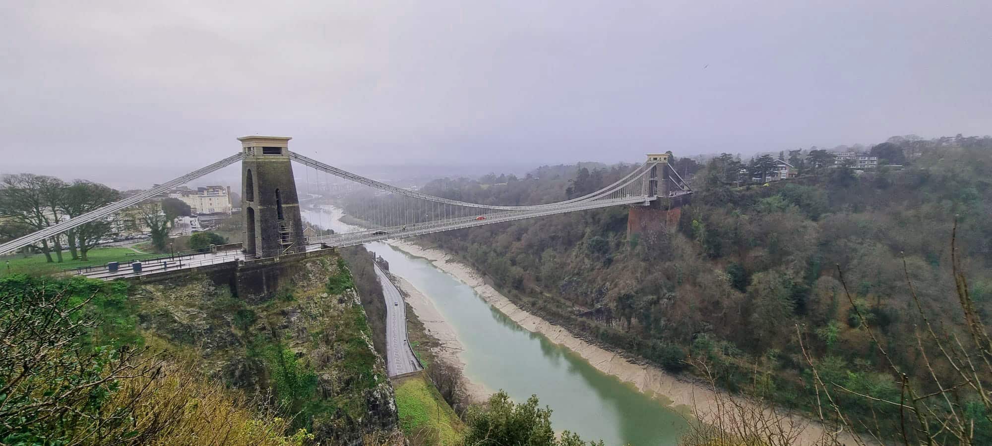
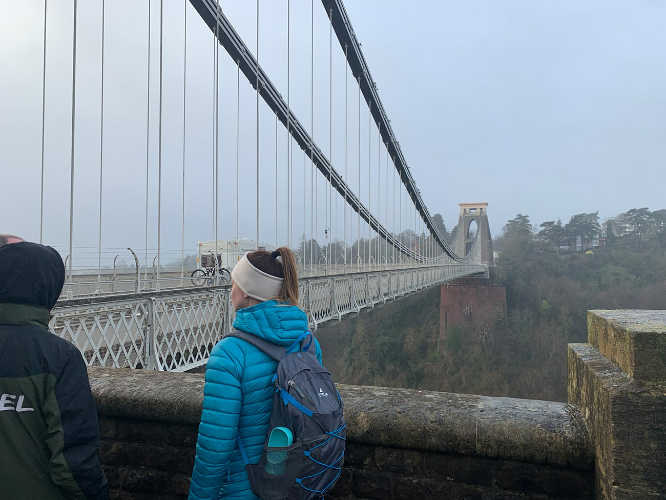
Anybody who has used Bristol Airport, or gone to watch the rugby or football, or just travelled to Bristol from this side, will have seen ‘Clifton Suspension Bridge’, it is one of Bristol’s most recognisable landmarks, designed by Isambard Kingdom Brunel, and is open 24 hours a day, seven days a week, 365 days of the year. There is a £1 toll for motor vehicles and is free of charge to pedestrians and cyclists, and that is what we did on this hike.
Walk this route yourself in 3D!
The Video is a 3D walk through of this route, it will give you a unique sense of having walked through the route before you start.
I have created 3D Videos of my adventures and have shared them with the OutdoorActive community as well as my walking community.
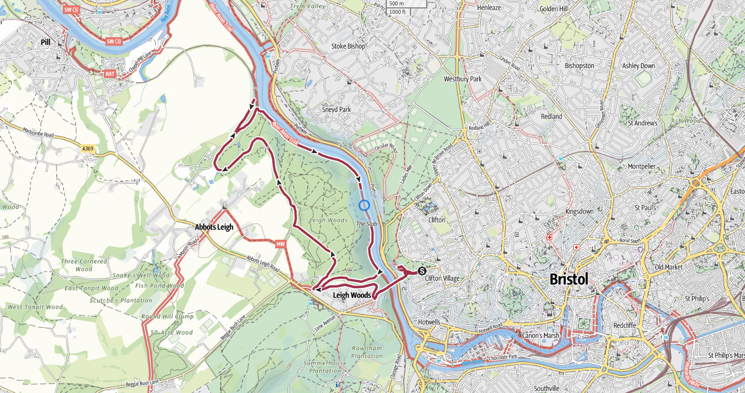
We started on the one side, visited the ‘Clifton Observatory‘, looked at the ‘Rock Slide‘ and then walked over the bridge which is not good for those with fear of heights, like me, but it’s very safe. Then on the other side which not a lot people know about is a huge woods called ‘Leigh Woods‘ and we walked around there, dropped down to the ‘River Avon Gorge‘, back up to the village, crossed back over the bridge, then coffee and cake in the observatory cafe, great walk!
Getting There: Directions, GPX and App Link
The Hiking app I use to plan the walks and to also guide me around is the ‘Outdooractive App‘, which has a free a Pro and a Pro+ version, the Pro version will allow you to download the routes to your phone, and use them without using up your data.
The reason I mention it is that if you were to download a route, they are FREE and you can find this link to this route in my hike listings. You can then follow the arrows and voice on your mobile, as most of these walks are a bit tricky to explain.
- Before I give directions, please be aware of the ‘Bristol Clean Air Zone‘ and the charges and fines you could end up with.
- The way we went in and where we parked we didn’t pay and more importantly we didn’t get fined, so the directions below will hopefully also apply to you.
- It was early on a Sunday morning, but the traffic was still pretty busy and I can imagine during the summer it will be a lot busier, but we parked here on the B3129 which is the road that goes over Clifton Suspension Bridge.
- We drove to this car park area from the M5 South and then joined the Portway road, which runs alongside the River Avon.
Navigation Aids:
Hike Map
Hike Profile
- Distance: 7m / 11km
- Duration: 4 hours
- Highest point: 358ft / 110m
- Difficulty: Easy (steep short climb), sometimes loose terrain through the woods.
- Route conditions: Well-worn pathways most of the way around.
Hike Description & Pics
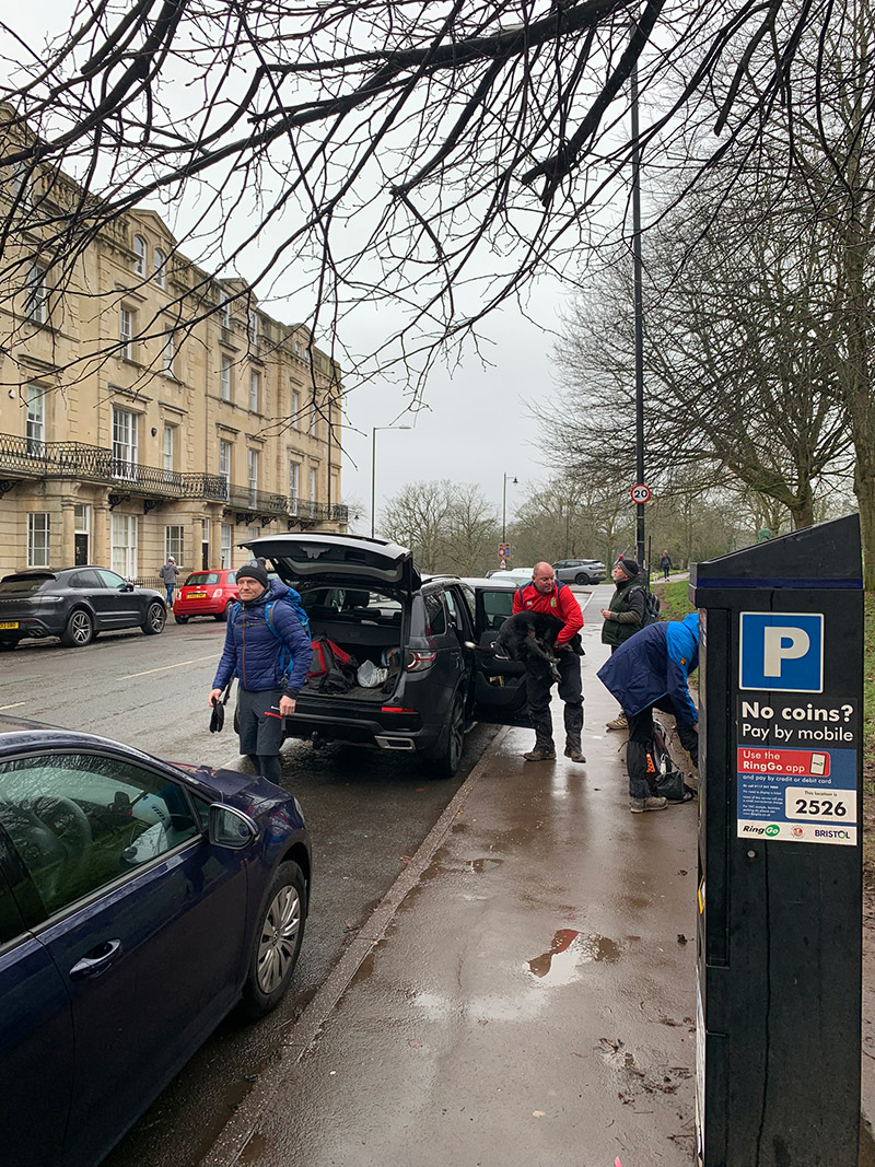
You are starting at ‘Suspension Bridge Road‘, but this area does get very busy pretty much every day, so plan ahead just in case you need to park somewhere else, but parking here is ideal, as you are very close to Clifton Observatory and then the bridge itself, which we are walking over.
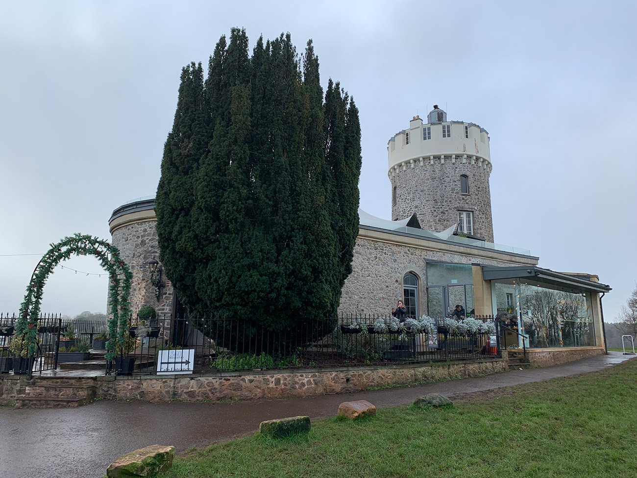
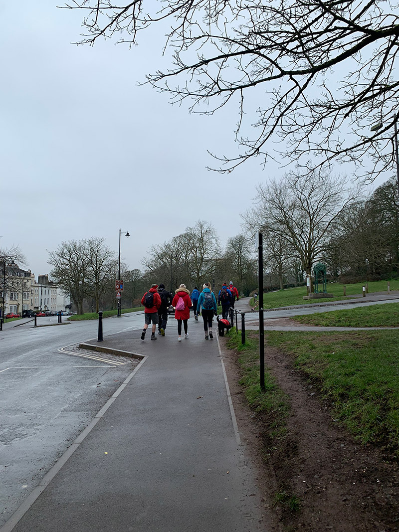
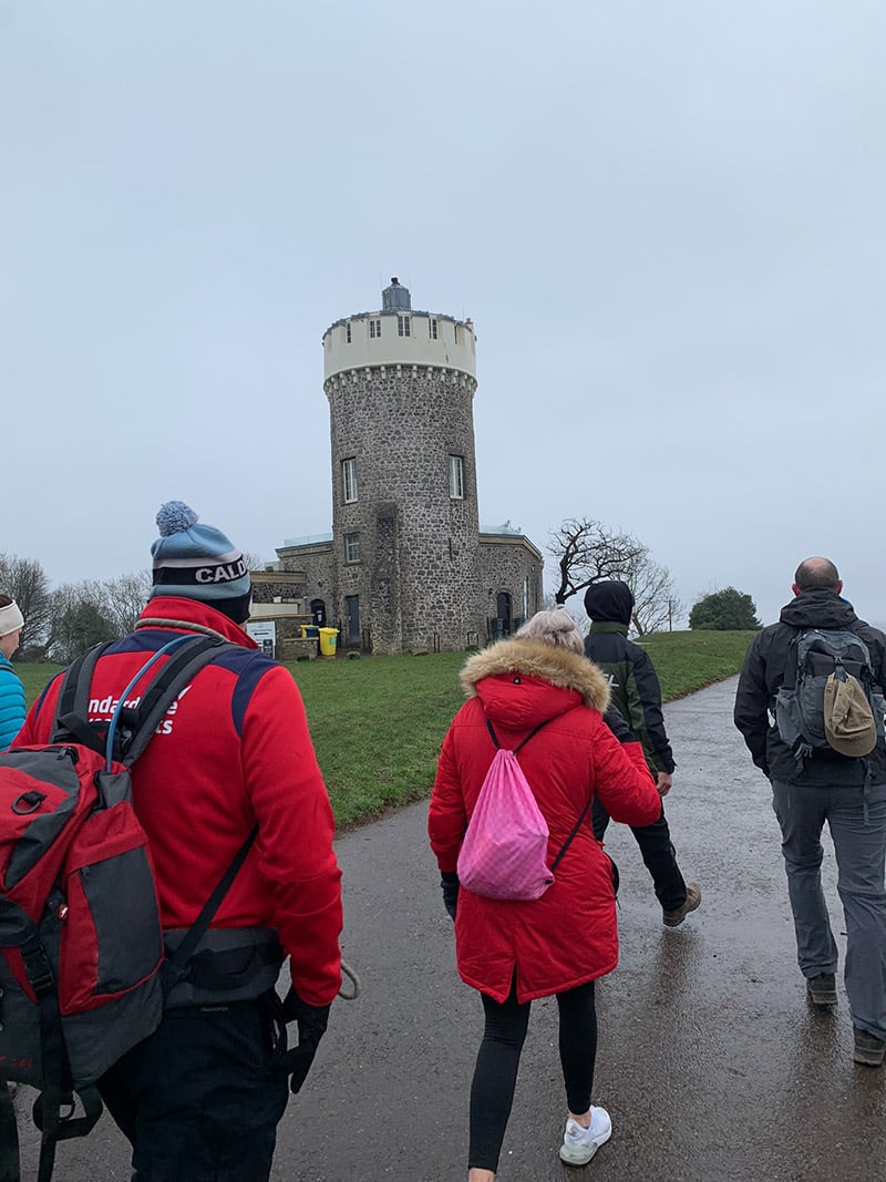
We left the cars and walked on the path heading towards the bridge, but we decided to pop up and have a look at the bridge from the cliff top to the right, and this is where the Observatory is. It was closed as it was early on a Sunday morning, but we had a look around and then decided we would use it after the walk for a coffee and a bit of cake.
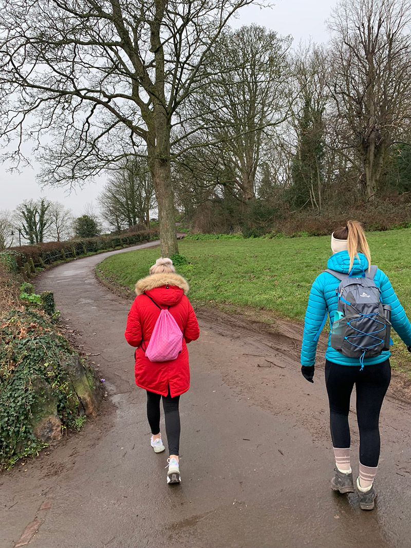
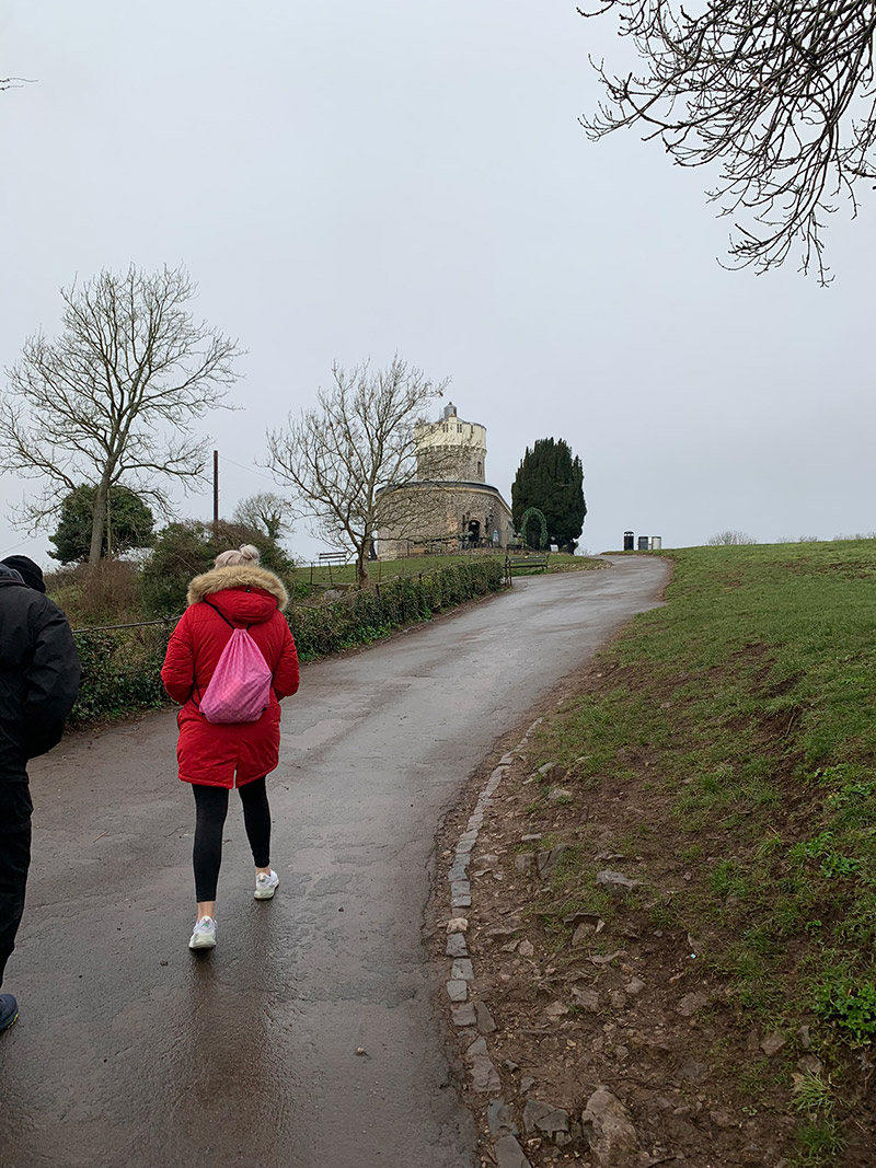
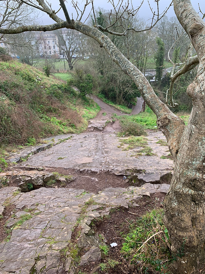
As you walk towards the Observatory on the left there is what the locals call the ‘The Slidey Rock‘, which is a natural rockslide on the Avon Gorge next to the Clifton Suspension Bridge. It is a popular play feature which has become shiny due to the generations of Bristolians who have slid down the gradient.
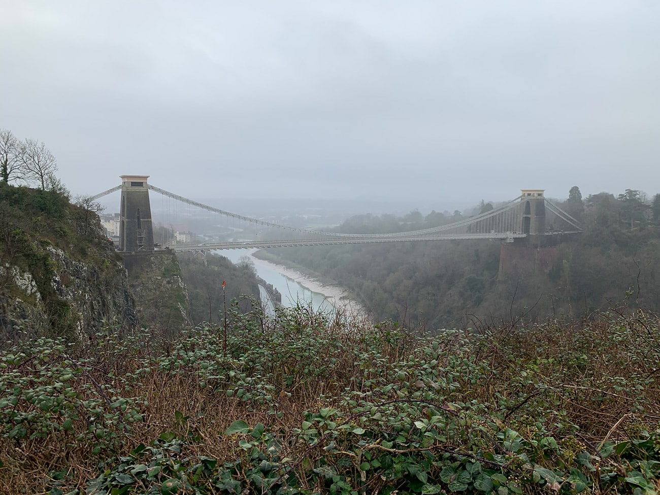
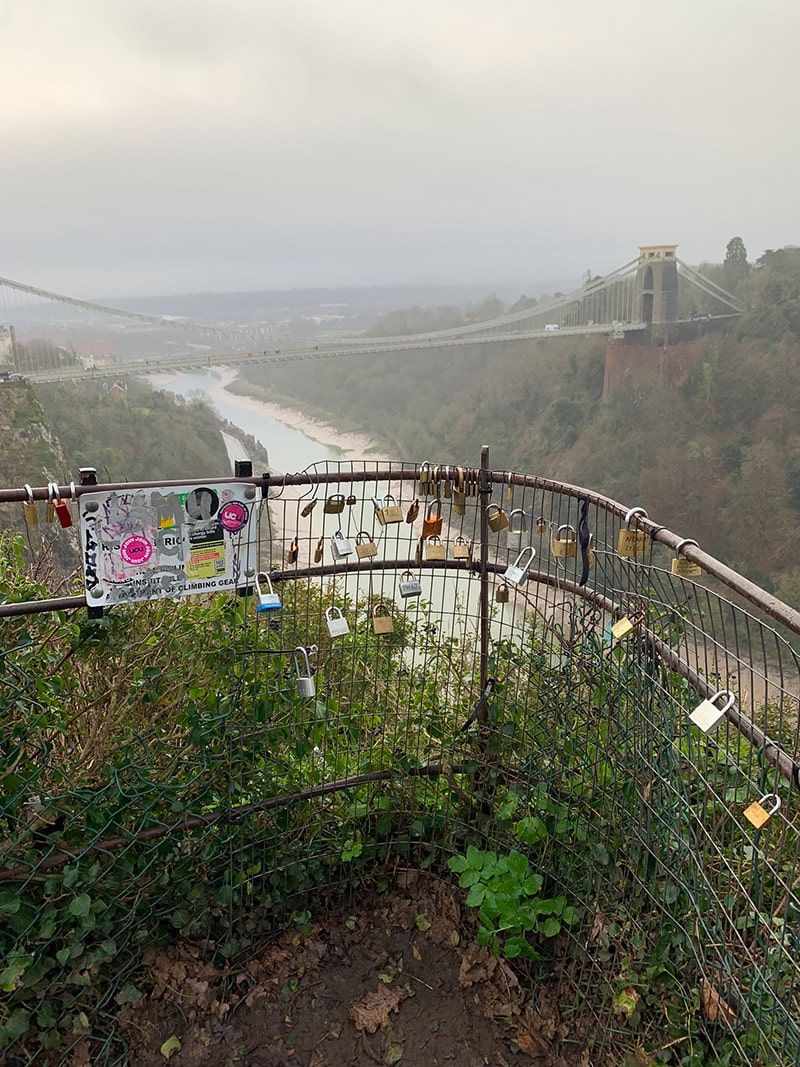
Above The Slidey Rock on the cliff edge you will get to see the magnificent ‘Clifton Suspension Bridge‘, for us it was a bit of a grey day, and there was a bit of fog, so I think on a beautiful sunny day this would be an awesome sight, but we still spent a bit of time up there looking at the bridge, over the edge of the cliff and the Observatory.
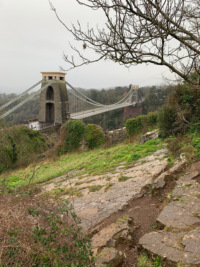
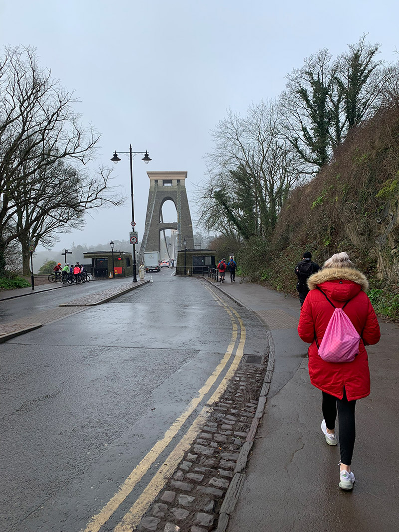
It’s easier to then turn around and walk back the way we came up to this bit and once back on the road, there no missing the bridge really, but turn right and you just simply follow the pedestrian path all the way across. I’m not good with heights at all, and we did stop a few times to look over the edge and I got to be honest my knees did wobble a bit, but it’s a great experience, and you soon get used to it.
You also get magnificent views up and down the Avon Gorge and in front of you to the right you will see ‘Leigh Woods’, which is where we are heading too.
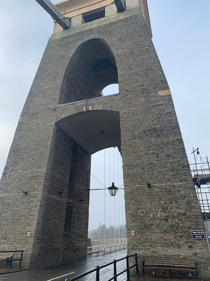
Once over the bridge, the ‘Clifton Suspension Bridge Visitor Centre‘ will be on your right, and then just after, you turn right onto North Road which again can get very busy as it’s a residential area whilst at the same leading to the entrance of ‘Leigh Woods’.
But as you continue up the road, the woods are on your right, and then the sign appears and the entrance into the woods shortly after, follow the path straight ahead, to do the walk in this direction, rather than turning down the path, as you will return up that way at the end.
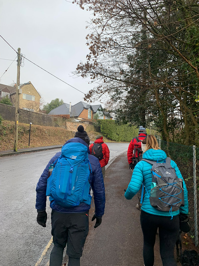
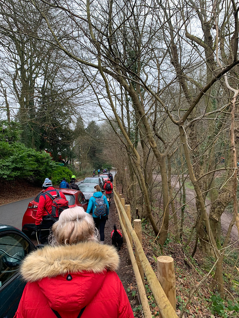
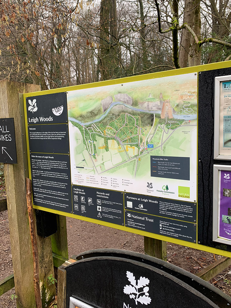
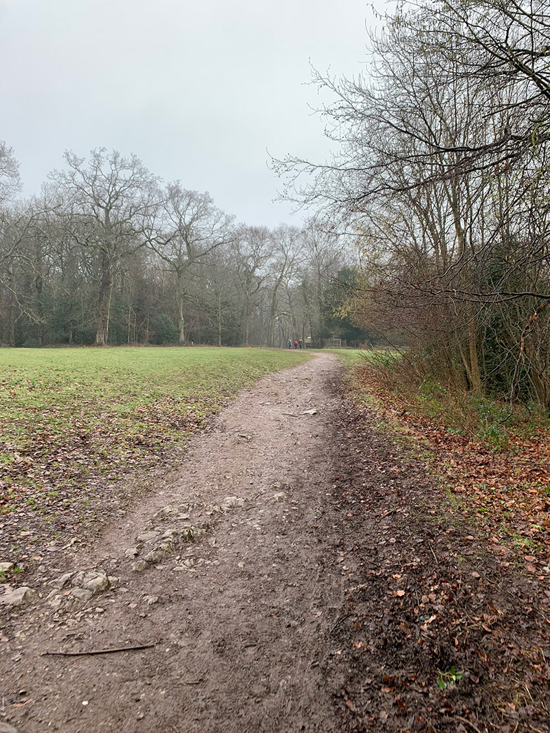
As you are walking through a woods and paths run off in every direction, it’s difficult for me to accurately describe the way we went, so if it helps, it would be the perfect opportunity to use the FREE route I have uploaded to my outdooractive account, you can find it here.
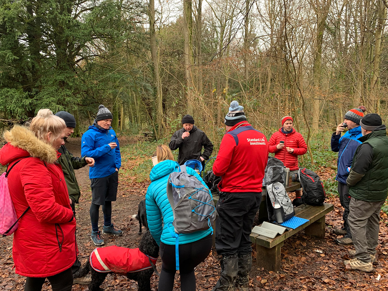
The route will head left and the towards the main road that runs through the park, you will come out onto the road through a gate where a lot of people park, and we turned right followed the road for a bit, then some benches appeared on the right, so we sat there and had a bit of get together and a coffee break.
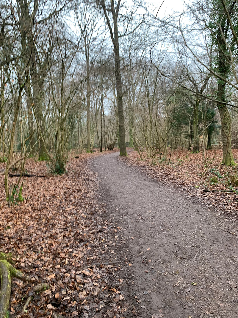
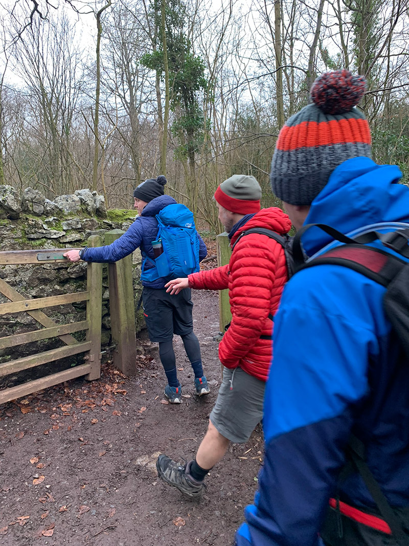
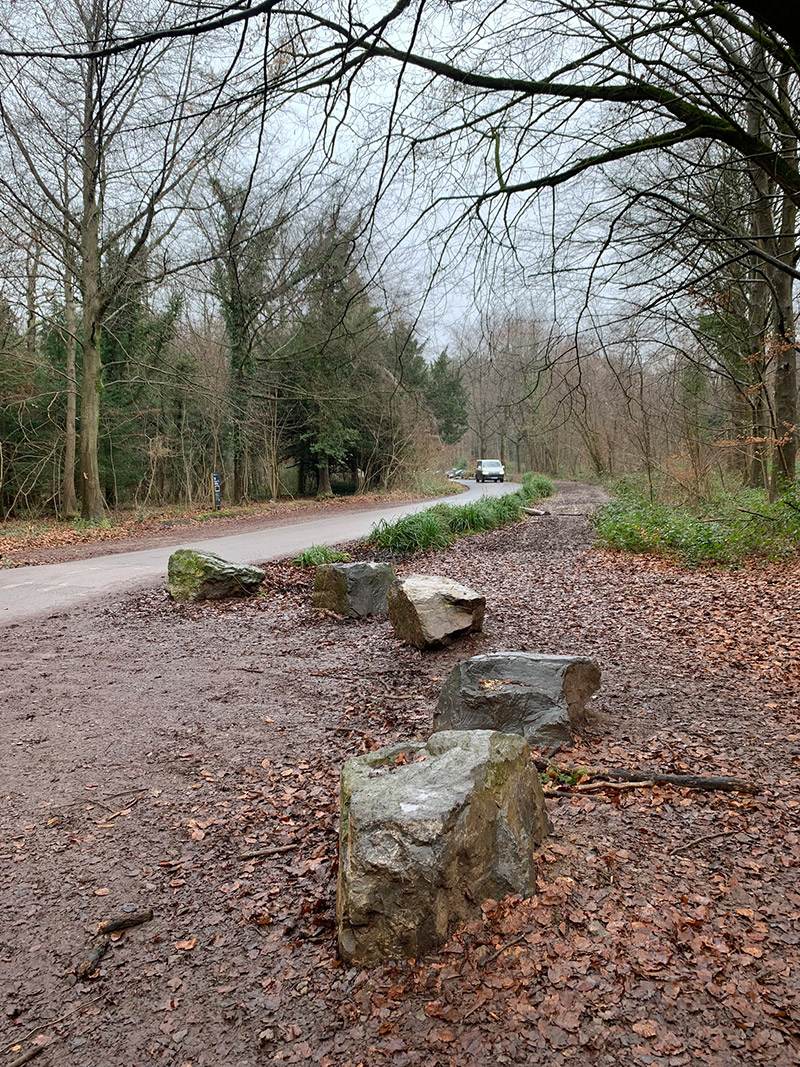
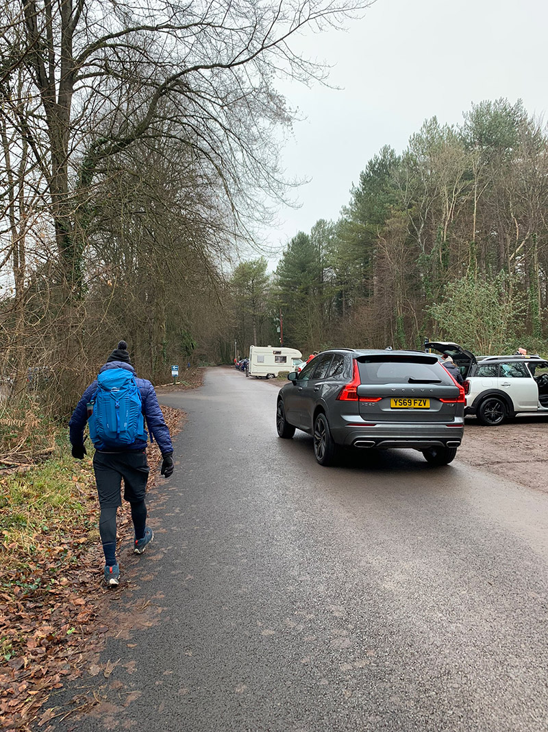
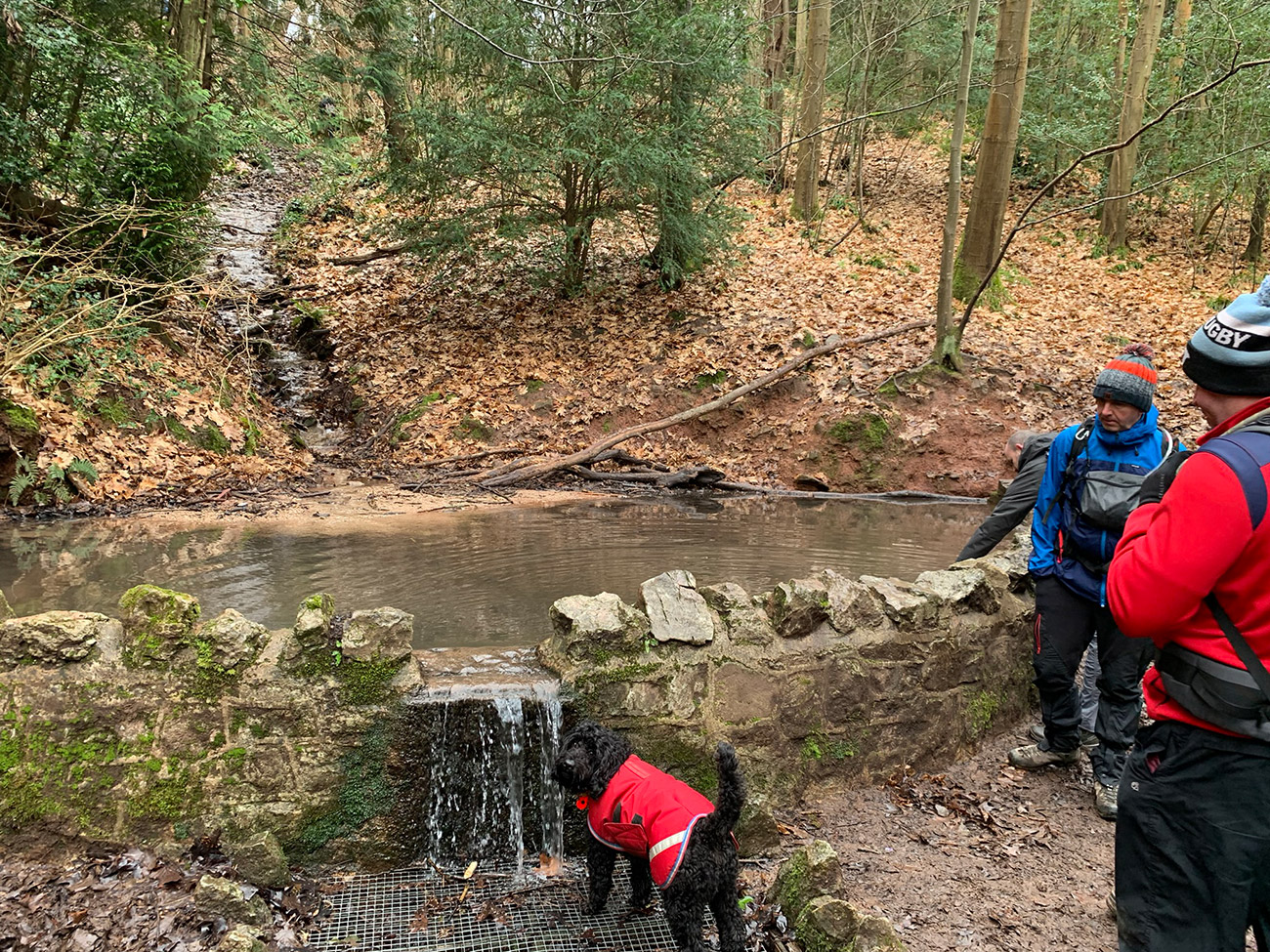
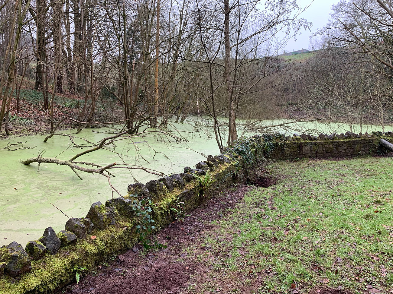
We then continued our walk through the park taking in the wildlife and the sounds and the tree’s and passing by some unique little spots whilst at the same time walking on a curve back towards the River Avon. There are other interesting parts inside the park that you can go and explore, but we thought we’d come back another day and pick another route and include some of those different parts.
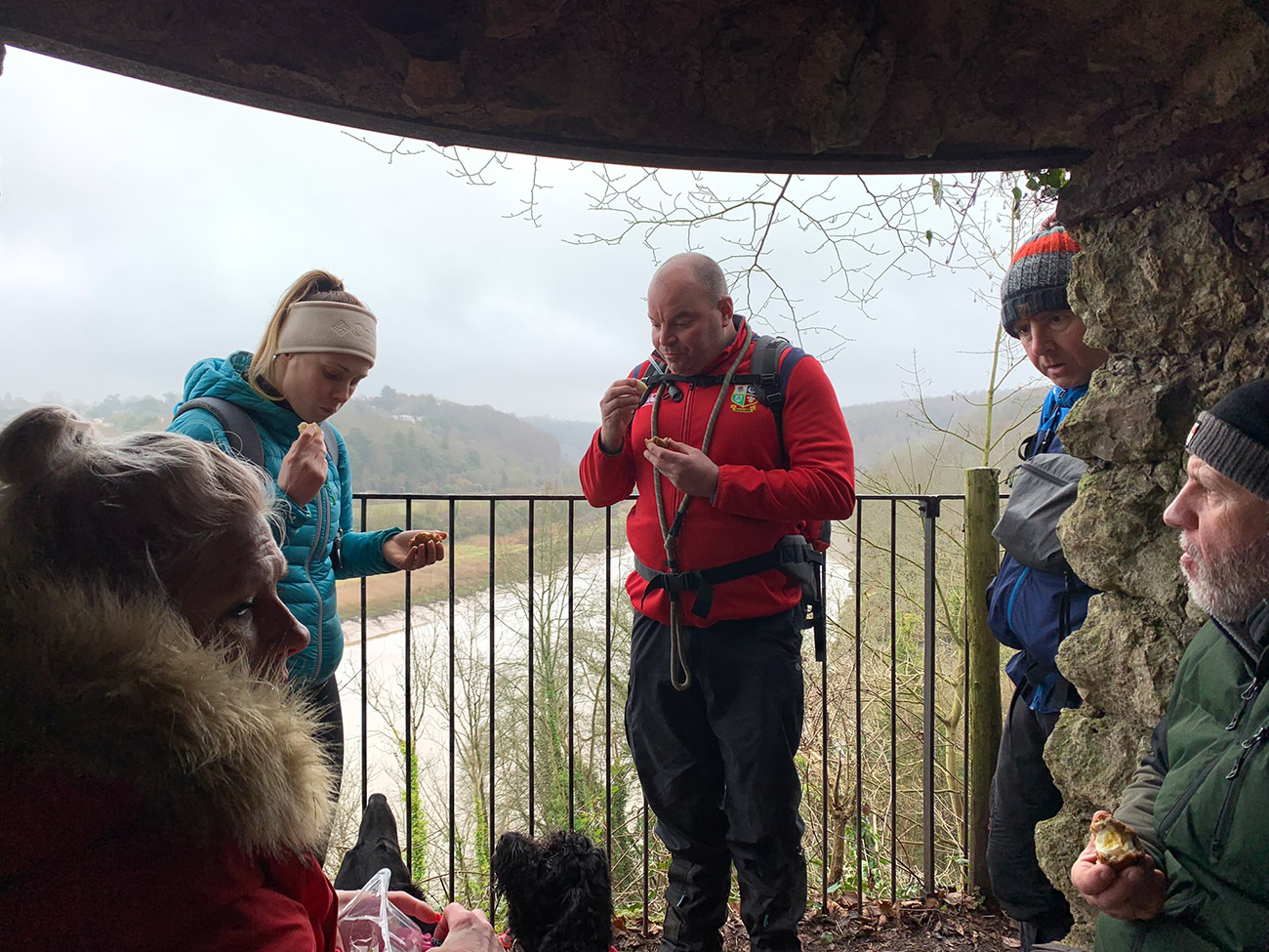
As we continued on the path, we are looking to head to what is called the ‘Grotto‘, which overlooks the River Avon, and great for a little sit down break, but to get there we needed to follow a narrow path to it, and then return on that path back to a sort of junction which heads down to the railway track to walk alongside the river.
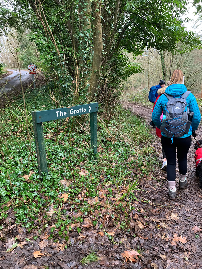
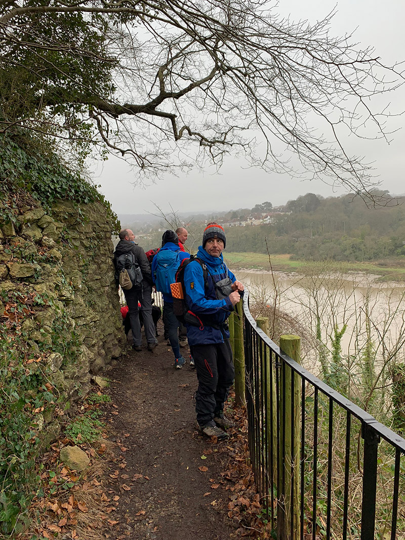
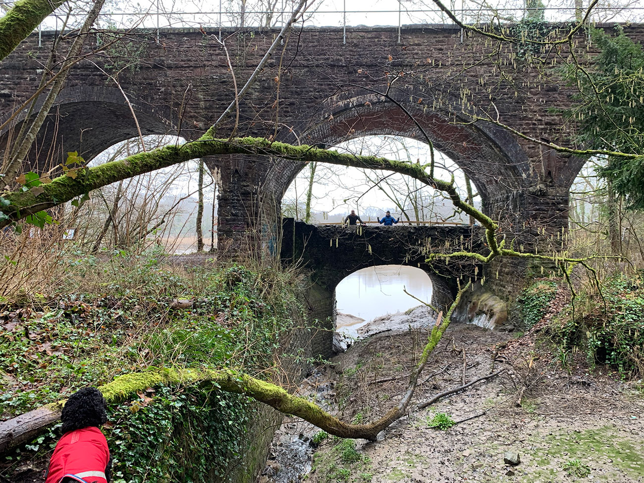
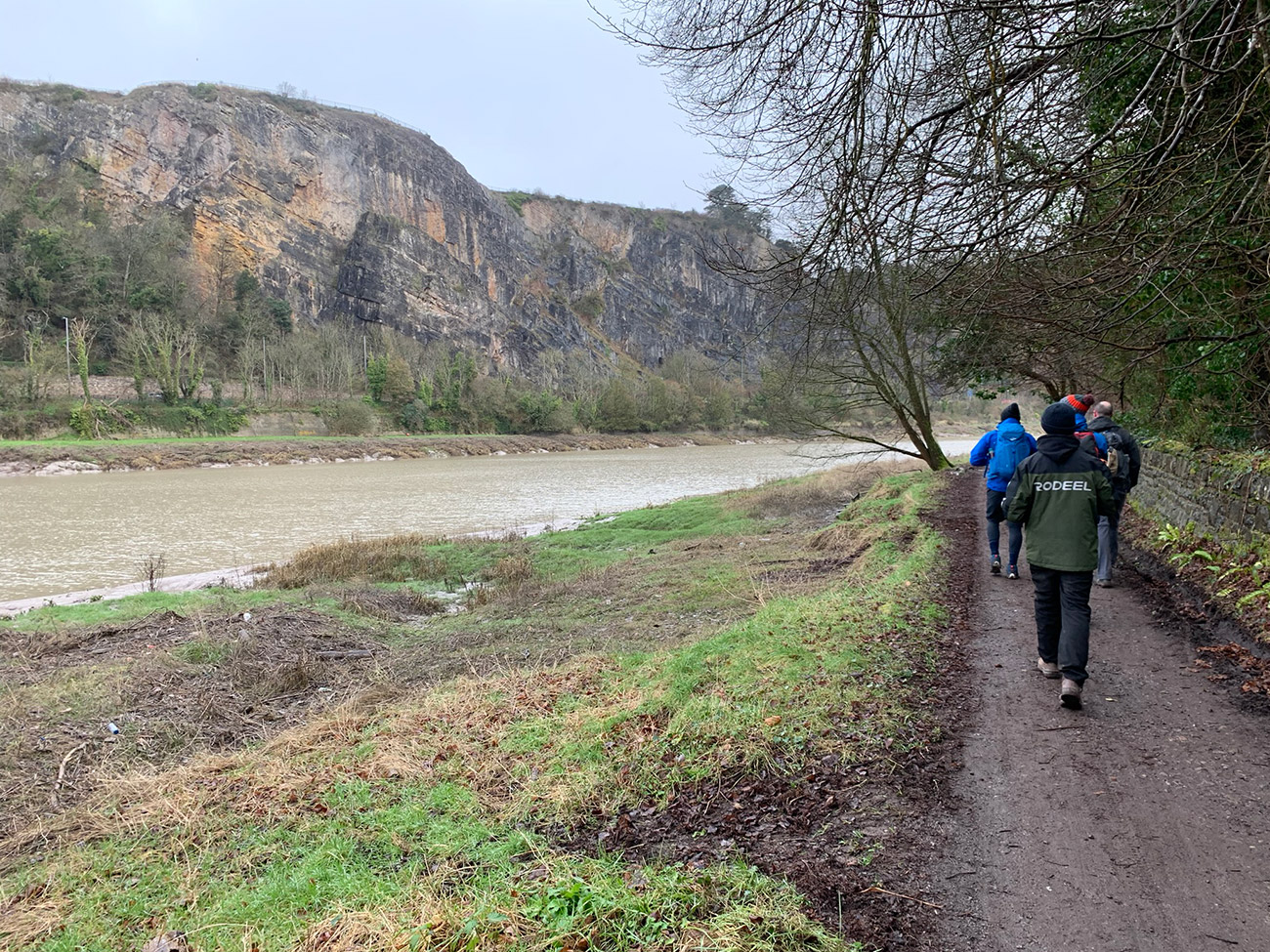
Once down to the lowest point, you will walk under a railway arch and then follow the railway line which will be on your right, whilst the river is on your left, and then before you know it the suspension bridge will appear in front of you.
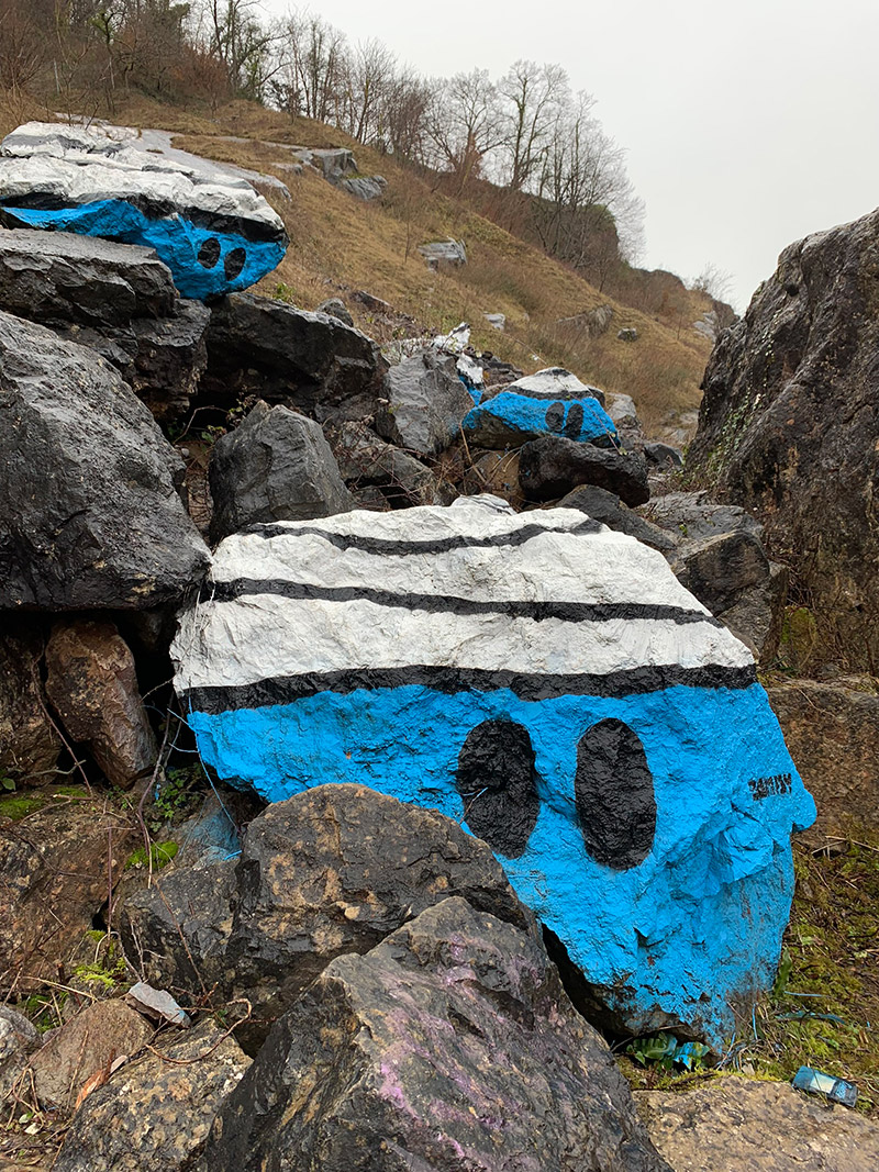
There is something unique on this path, and it’s a bit of a local tourist attraction to find all of them. You will see in the pics below ‘Mr Bump’ is painted on some of the rocks, and this is a small part of what is known as ‘The Bumpsy Trail‘.
Along the River Avon and Trym in north-west Bristol are these Mr Bump tags. Some wonderful souls have graffitied not one, not ten, but FORTY pictures of Mr Bump in different places, stretching from under the M5 bridge right across to a skate park south of Hotwells, take the kids and see if you can find them all.
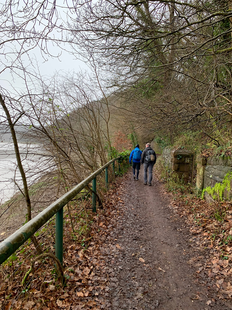
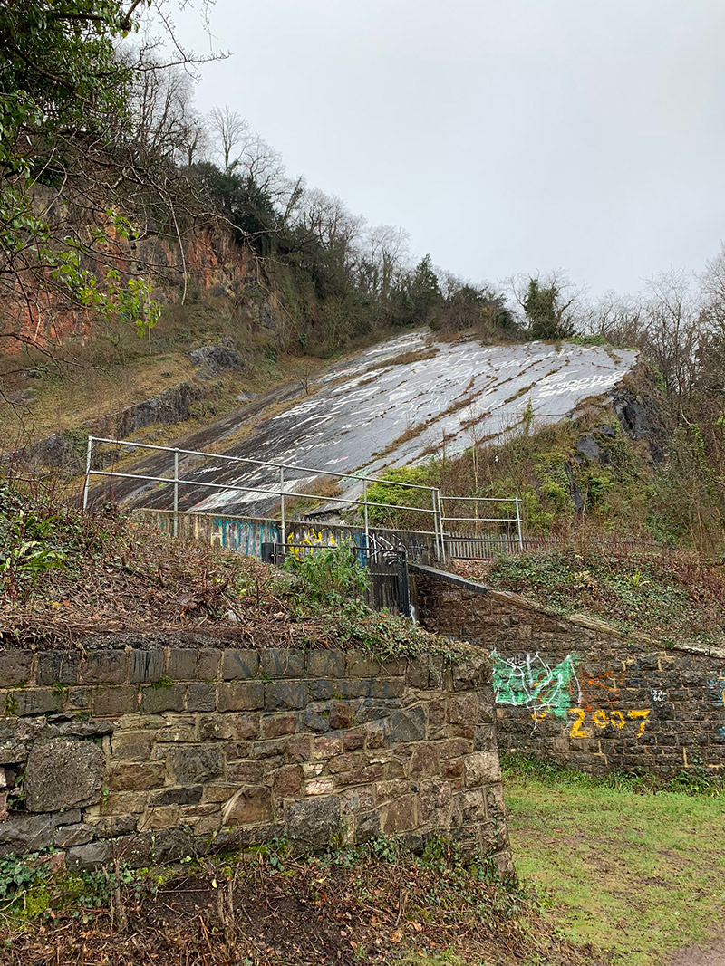
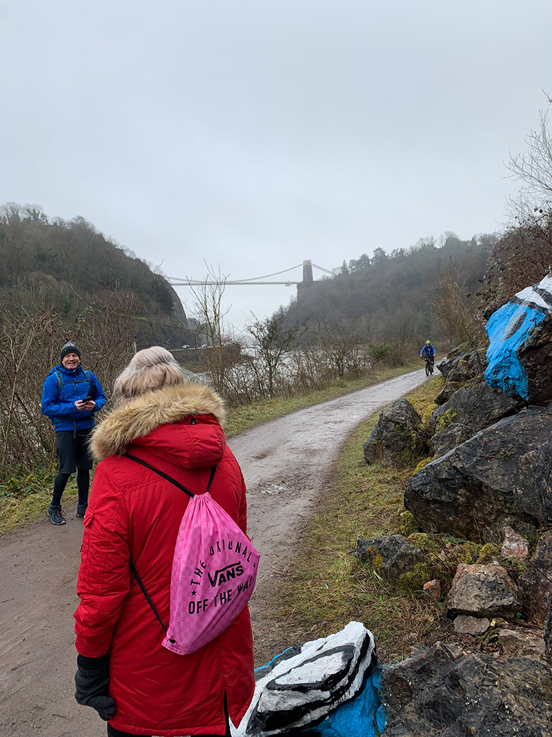
The walk along the ‘River Avon Trail’ is quite long, but once you are close to the bridge, an archway on your right will take you up the hill and back to where you started in the park. The walk up is quite hard, and is the only place really where you will get a workout also, it’s well looked after and there are steps, and it’s where you leave the ‘River Avon Trail‘ and join ‘Monarch’s Way‘.
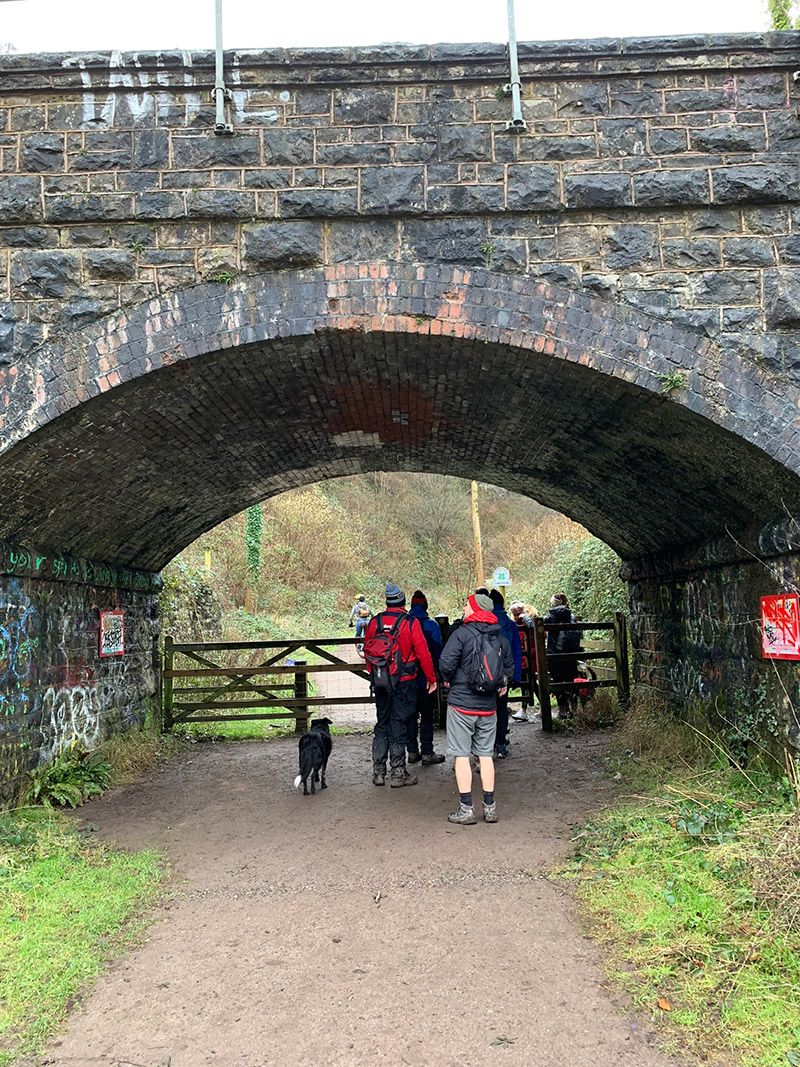
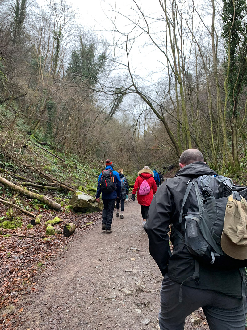
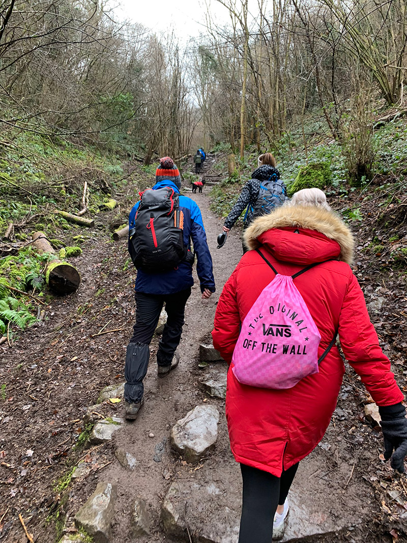
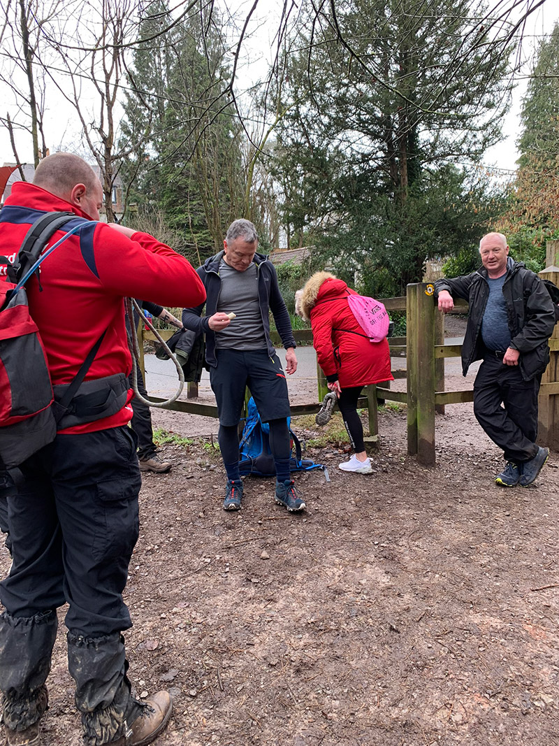
Once you get your breath back and are ready to move on again, you turn left and return up the road the way you came, and back over the suspension bridge.
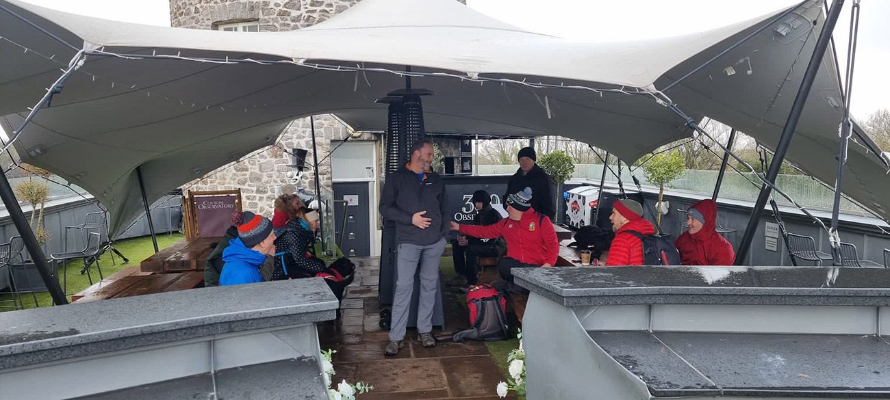
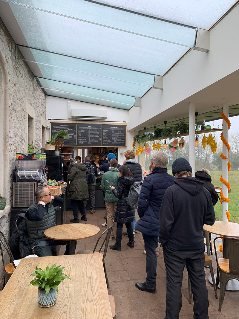
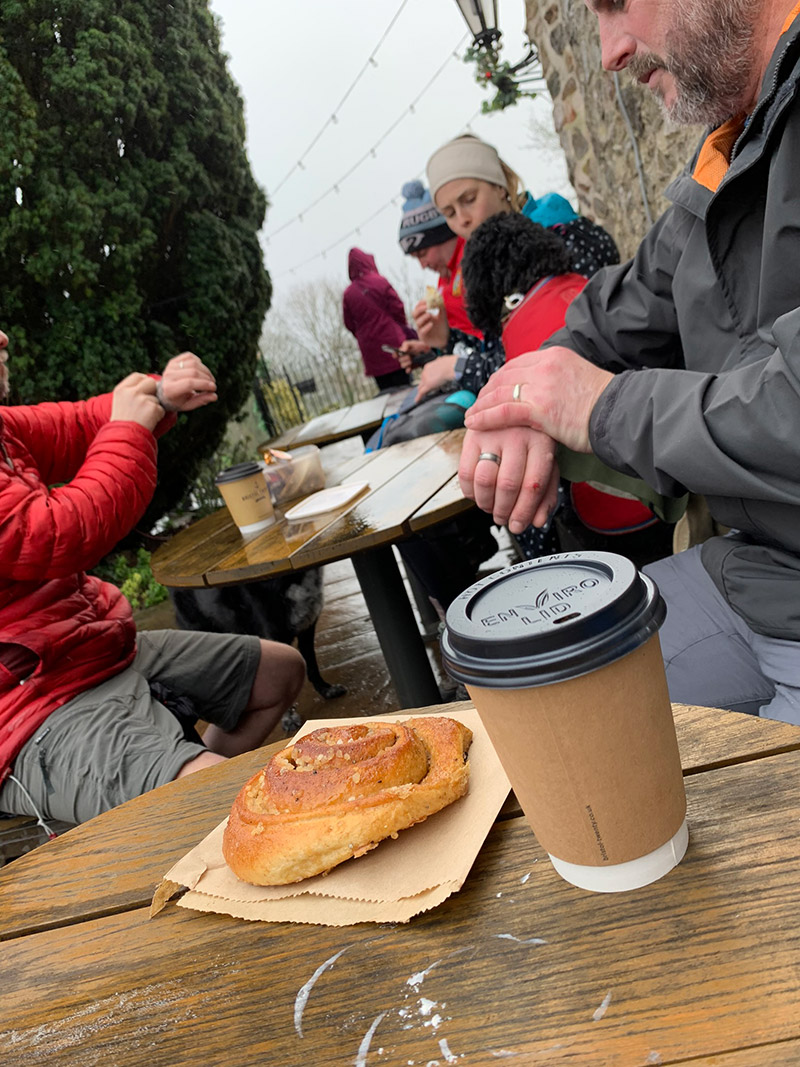
We all enjoy a bit of cake and coffee to finish off the walk, so we headed back to the observatory and found a great place to sit out of the rain on top of the cafe. They had some covers over the sitting area, and it was also a great place to take in the bridge again and see Avon Gorge and Leigh Woods.
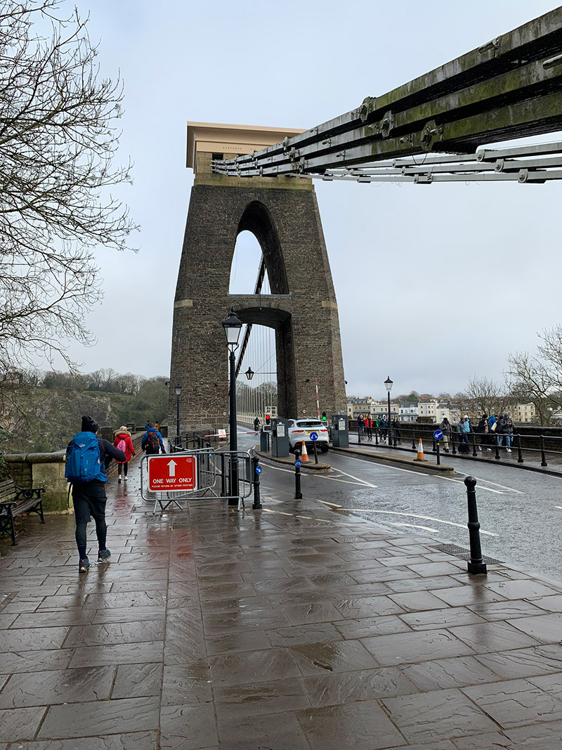
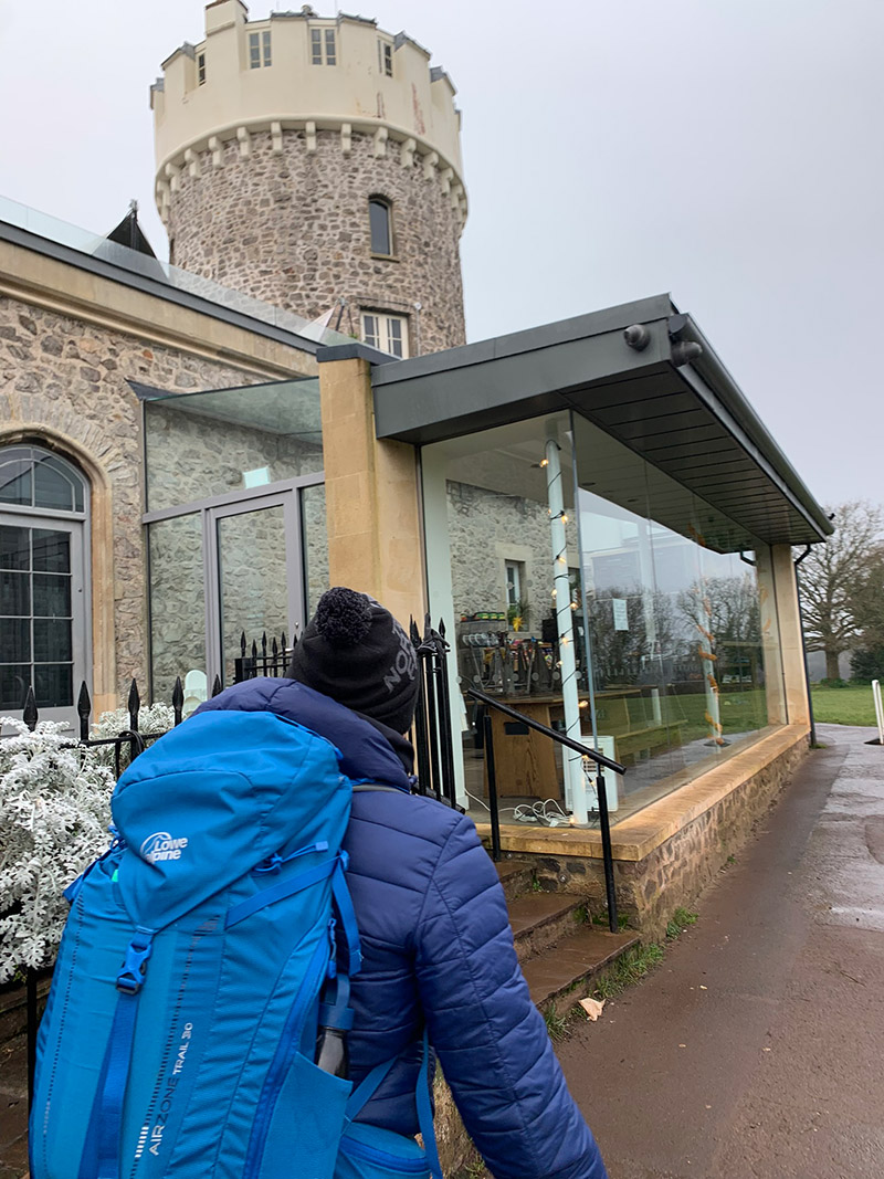
That’s it, you’re all done, back at the car and hopefully the weather has been good, and you have had a great experience.
It is worth downloading this route onto your outdooractive app, it’ll re-assure you time wise and that you’re not heading in the wrong directions. There is so much space up there and lots of alternative paths you could accidently join.
Hope you enjoy this walk, and I’d love it if you could share this post either with the social media buttons that follow you down the screen on your left, or below in the footer. Also, comments are very welcome, I love meeting new people and talking and you never know we could meet up on one of our walks.

Fundraising for CALM, they do save lives!
Do you want to join me in making a difference? I’m raising money in aid of Campaign Against Living Miserably and every donation will help. Thank you in advance for your contribution to this cause which means so much to me.
More information about Campaign Against Living Miserably: Campaign Against Living Miserably (CALM) is leading a movement against suicide. Every week 125 people in the UK take their own lives. And 75% of all UK suicides are male.
CALM exists to change this. Join the campaign to take a stand against suicide.
Please donate an amount you can afford, everything helps these poor people.
I have raised £572 so far, and I will keep trying to raise more.
