
All of my walking guides and adventures are free to read, and always will be. To help keep them coming, I’ve partnered with a few carefully chosen affiliate sites — including Booking.com, GetYourGuide, and Skyscanner. If you ever book accommodation, tours, or travel through one of these platforms, I’d be so grateful if you clicked through from my website first. It won’t cost you a penny more, but I may earn a small commission, which helps support the site. 👉 click this link, to read more about how it works and see the full list of partners I use on this website.
For this years ‘Talgarth Walking Festival‘ hiking the ‘Three Pens of Crickhowell’, I was proudly representing ‘Outdooractive‘, which is Europe’s largest outdoor platform, providing countless trails, tracks and route suggestions complete with descriptions and photos. It is simply the best, and to be working with them is a great honour.
I upload all my routes there, and on every post on this website, there is a link to the route. You can find them all here, under the ‘Content’ tab. I use the Pro+ version, as it offers so much to help me plan, see and do the routes.

Walk this route yourself in 3D!
The Video is a 3D walk through of this route, it will give you a unique sense of having walked through the route before you start.
I have created 3D Videos of my adventures and have shared them with the OutdoorActive community as well as my walking community.
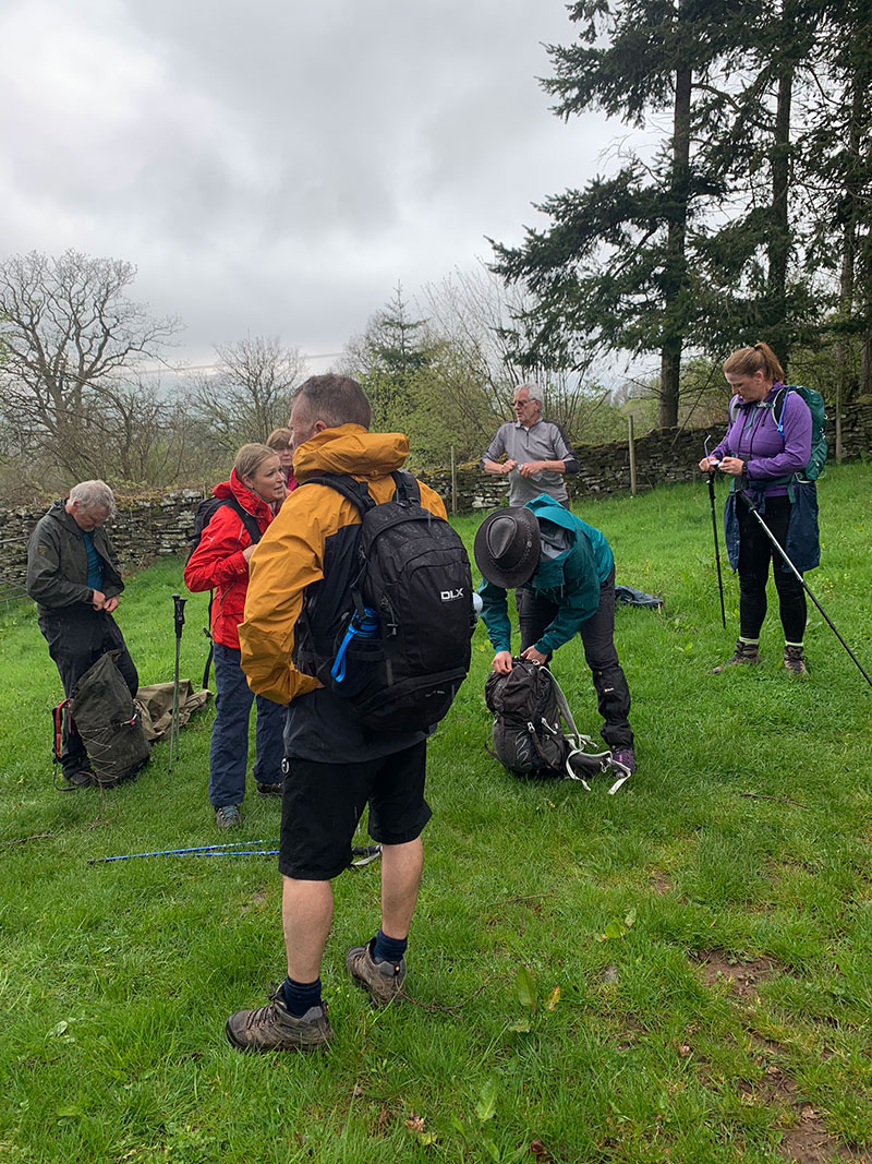
[video_popup url=”https://youtu.be/lKyJVKX2gPs” text=”Talgarth Walking Festival – The Three Pens of Crickhowell Circular – 3D Video” title=”Talgarth Walking Festival – The Three Pens of Crickhowell Circular – 3D Video”]The 2023 Talgarth Walking Festival, the 9th event, took place between Friday April 28th and Monday May 1st.
This year they had 26 walks which covers all tastes and abilities, and we choose one on the Sunday which was called ‘The Three Pens of Crickhowell’, you can read all about it here, and all the info to do it is below.
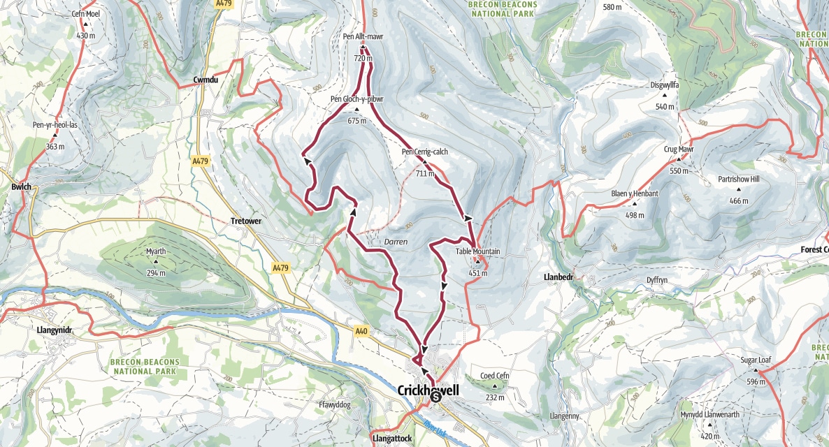
The three Pens being ‘Pen Gloch-y-pibwr’ (675m), ‘Pen Allt-mawr’ (720m) & ‘Pen Cerrig-calch’ (711m).
Recommended: Places to stay in Brecon, in the Bannau Brycheiniog (Brecon Beacons) National Park.
Recommended: Places to stay in Crickhowell, in the Bannau Brycheiniog (Brecon Beacons) National Park.
Getting There: Directions, GPX and App Link
The Hiking App I use is ‘OutdoorActive‘ which has a free and Pro version, the Pro version will allow you to download the routes to your phone and use them without using up your data.
The reason I mention it is that if you were to download it, below is the link to this route in my hike list on that app, you can follow the arrows and voice on that. I think it is best that you do get the app, as most of these walks are a bit tricky to explain.
- Crickhowell is situated between Abergavenny and Brecon on the A40. Or you can use the A465 and turn off for Crickhowell and use the A4077 which will allow you to turn into Crickhowell from the bottom over the River Usk bridge.
- If you use the A40, when you arrive in Crickhowell, turn down the hill (A4077) opposite the Shell garage, and the school is on your right to park on weekends and afternoons.
Navigation Aids:

- Follow this route on the Outdooractive App, it is free, and it will guide you around safely.
- Download my hand crafted *GPX file, and use it on your own guidance devices.
- * If you’re not sure what a GPX file is, I have put this post together that will hopefully explain it in plain words. It’s worth considering as well as mobile app navigation, as they will make your hikes better & safer.
Hike Map
Hike Profile
- Distance: 10m / 16km
- Duration: 6 hours
- Highest point: 2343ft / 714m
- Difficulty: Moderate (steep short climbs), sometimes loose terrain through the woods.
- Route conditions: Well-worn pathways most of the way around, good walking shoes are a must really.

Sim Local can help reduce or even eliminate roaming fees completely. Click here for eSIM data plans worldwide! 10% Discount using ‘WELSHMAN’
Hike Description & Pics
This route is available from my OutdoorActive account, it is free and will guide you all the way around, no getting lost. Once on the app, click ‘Navigate’ in the bottom bar, and from the walk’s start point it will guide you all the way around.
Let’s get going – If you need help organising this trip, see links below.
My ‘Bannau Brycheiniog Resource Kit‘ at the bottom of this page, will help you organise your travel, trips, food and accommodation when planning your visit to Wales, it’s all there to help you plan, give it a go.
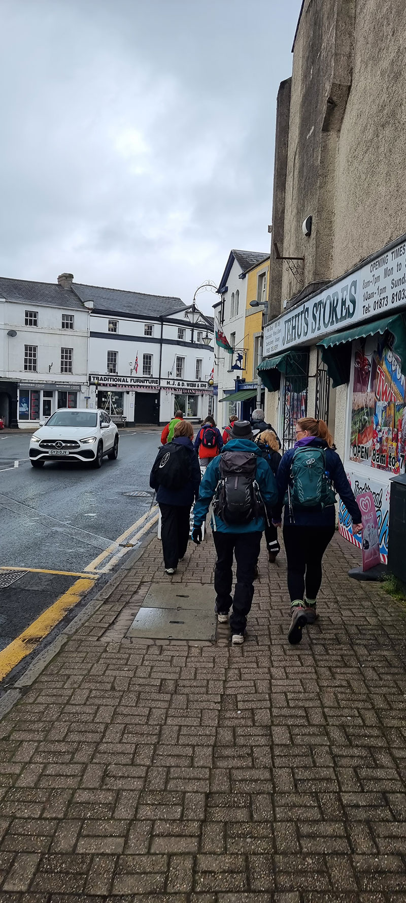
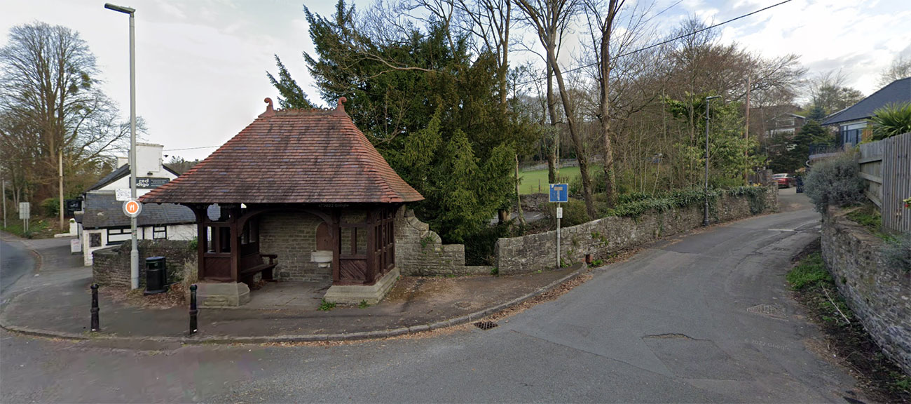
Best place to start is the ‘Crickhowell Secondary School car park‘, we usually walk on a Sunday so it’s pretty quiet and although it’s the Secondary School, you don’t drive as far as the school, as you come off the road, the car park is just there in front of you.
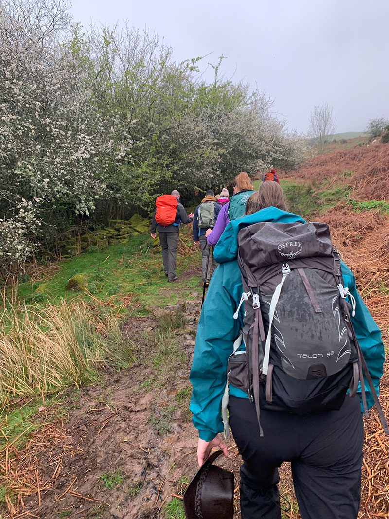
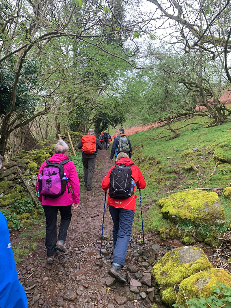
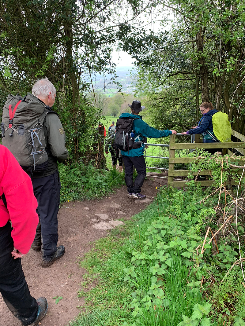
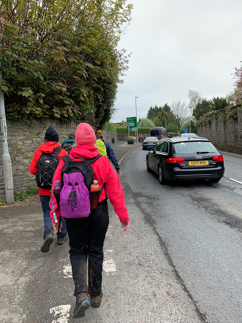
Walk to the main road, then turn left and walk up the hill towards the Shell garage, and once on the other side you can start your walk here. The A40 running through Crickhowell is always very busy, so please be careful on the narrow paths.
So, turn left and walk along the A40 for a bit, and you are heading towards an Indian restaurant called the ‘Red Indigo’, but you don’t walk quite that far, instead you turn right, just before it and start your walk up the lane towards the mountain. At this point, you will be walking on the ‘Beacons Way‘.
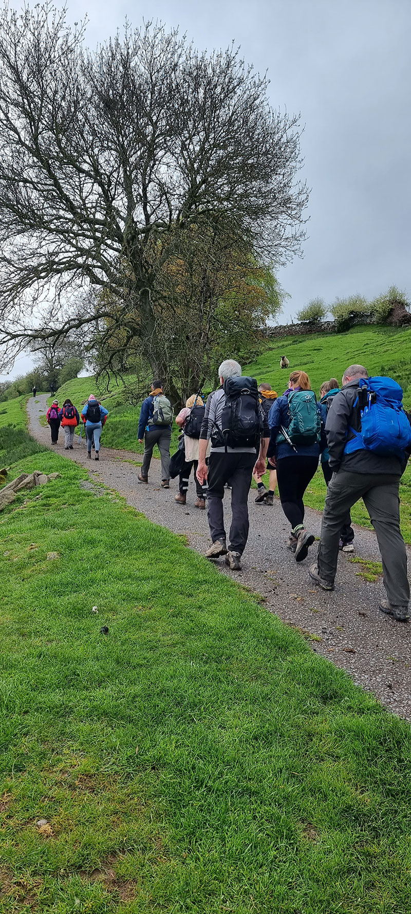
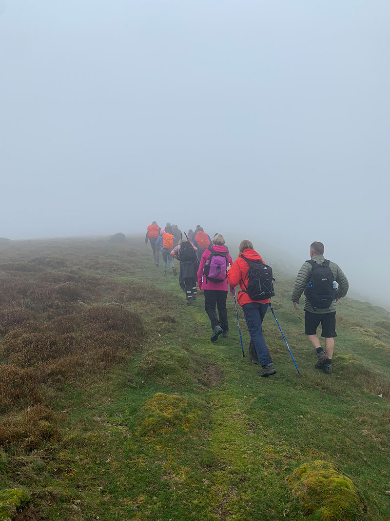
As you continue along the Beacons Way, you are on a path for a while, probably about 1 mile, and then you see the road come to an end, and for this walk you also leave the ‘Beacons Way’, but you will join back up to it in a short while. This path means you literally skirt the bottom of the mountain on your right, rather than take a wider path around it. The Beacons Way path heads to the left, you stay straight.
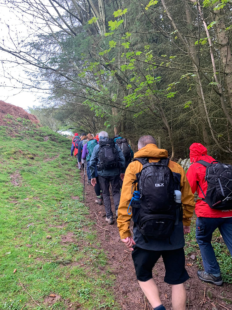
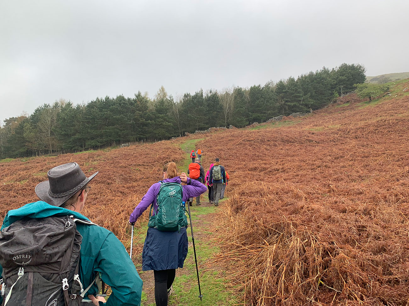
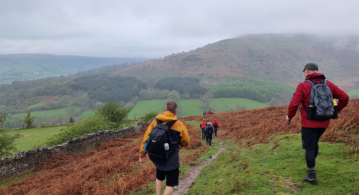
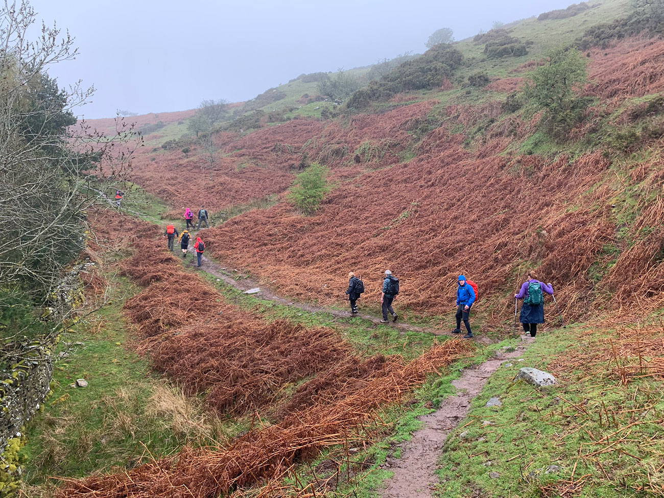
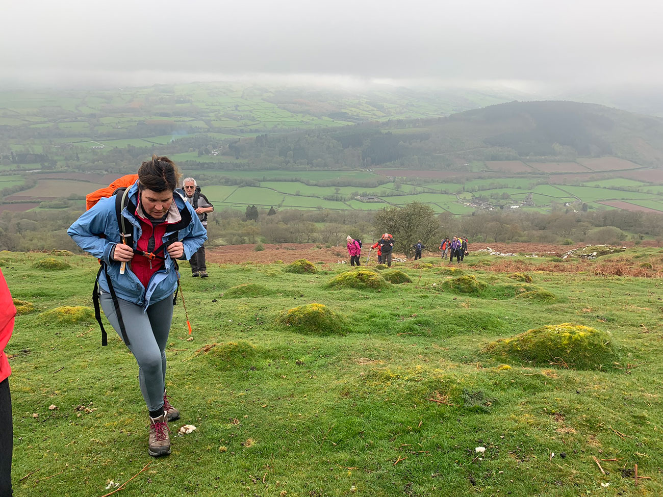
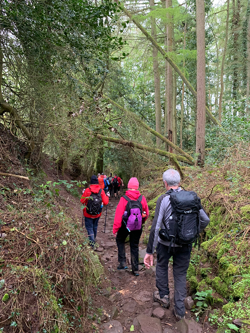
The terrain is pretty much the same here, the paths can be slippery in wet weather, but they are well worn paths and you’ll have no problem really. You are still only following a path that has sharp up and downs, but you are pretty much just walking at the same level, but hopefully the weather is better than we had it and to your left you will have beautiful views, to keep you going.
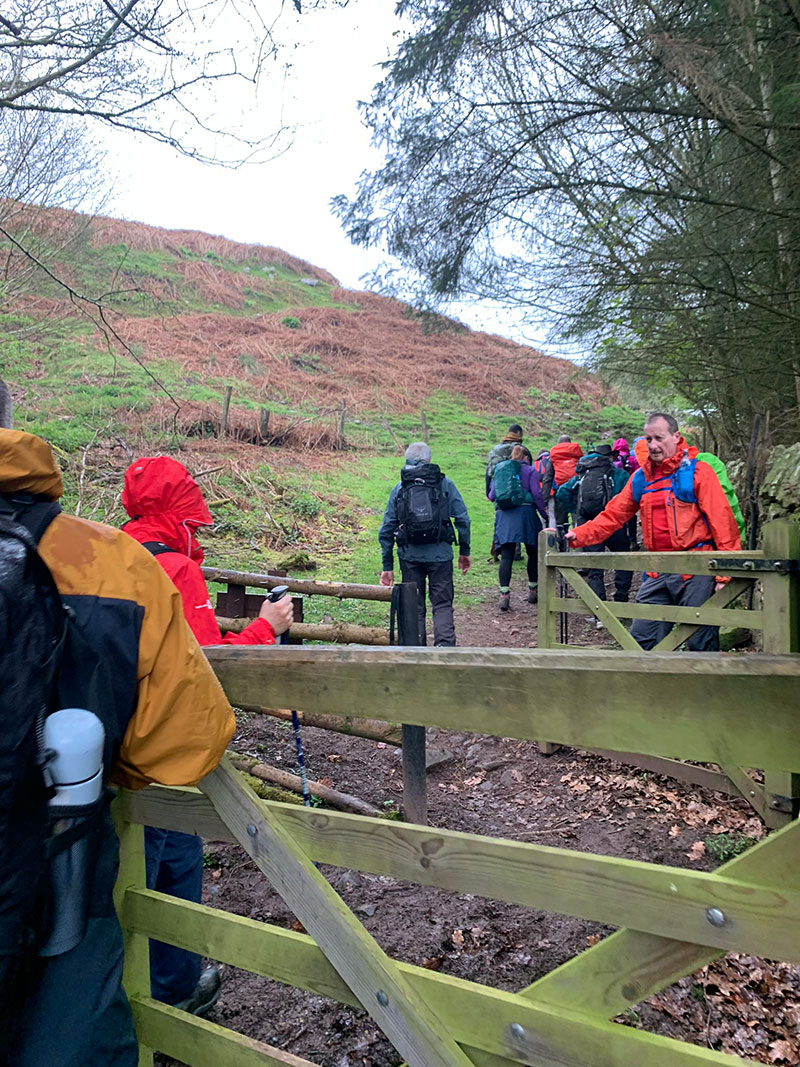
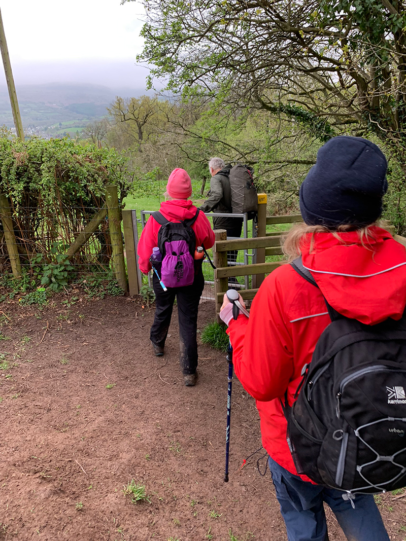
You will then reach a point where a valley will appear, and you will walk down into that valley via quite a steep hill, again its well-worn, and can be very muddy and slippery in places. You are heading towards a house and once there you take the path to the right and walk through the woods, and very soon you will start to head right and start your first proper climb.
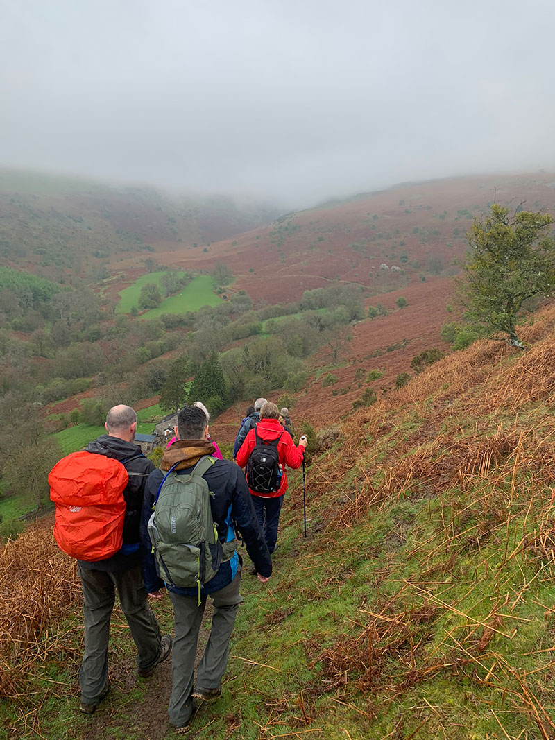
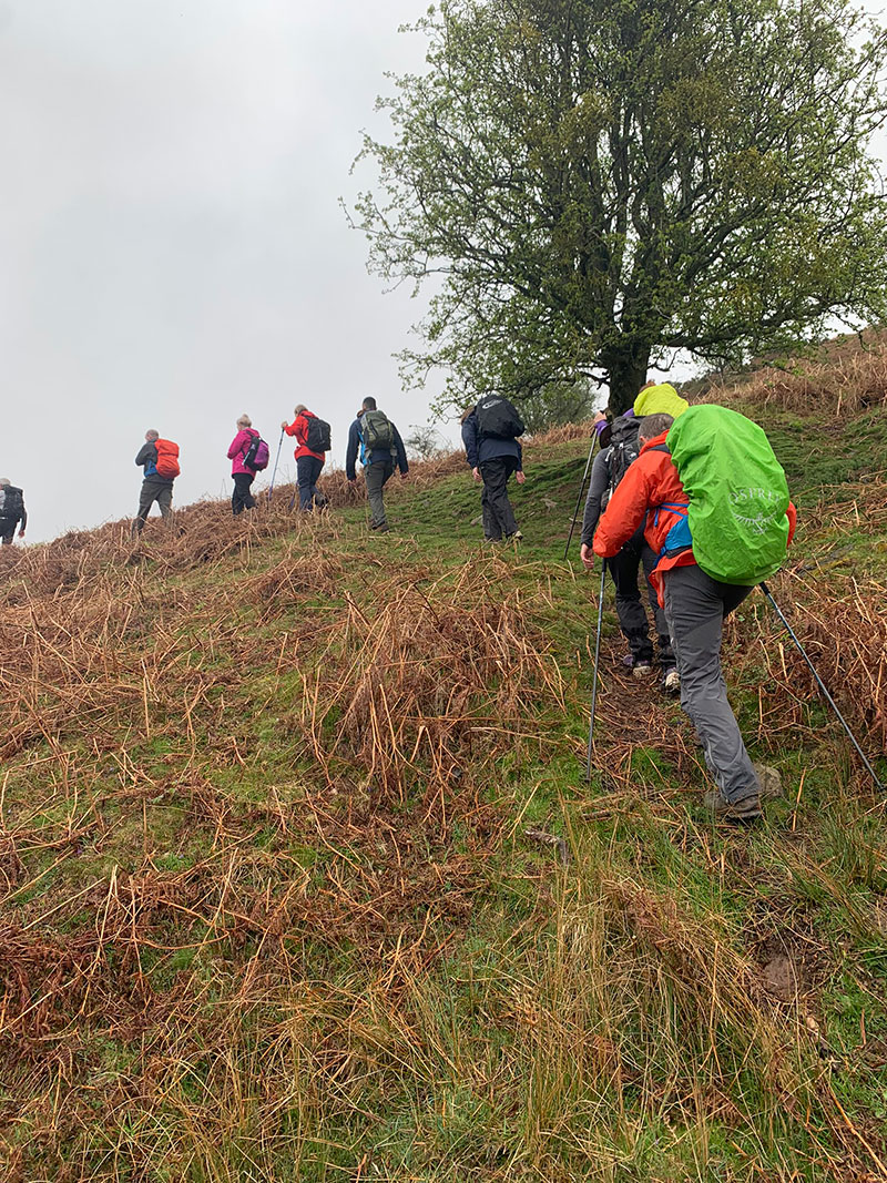
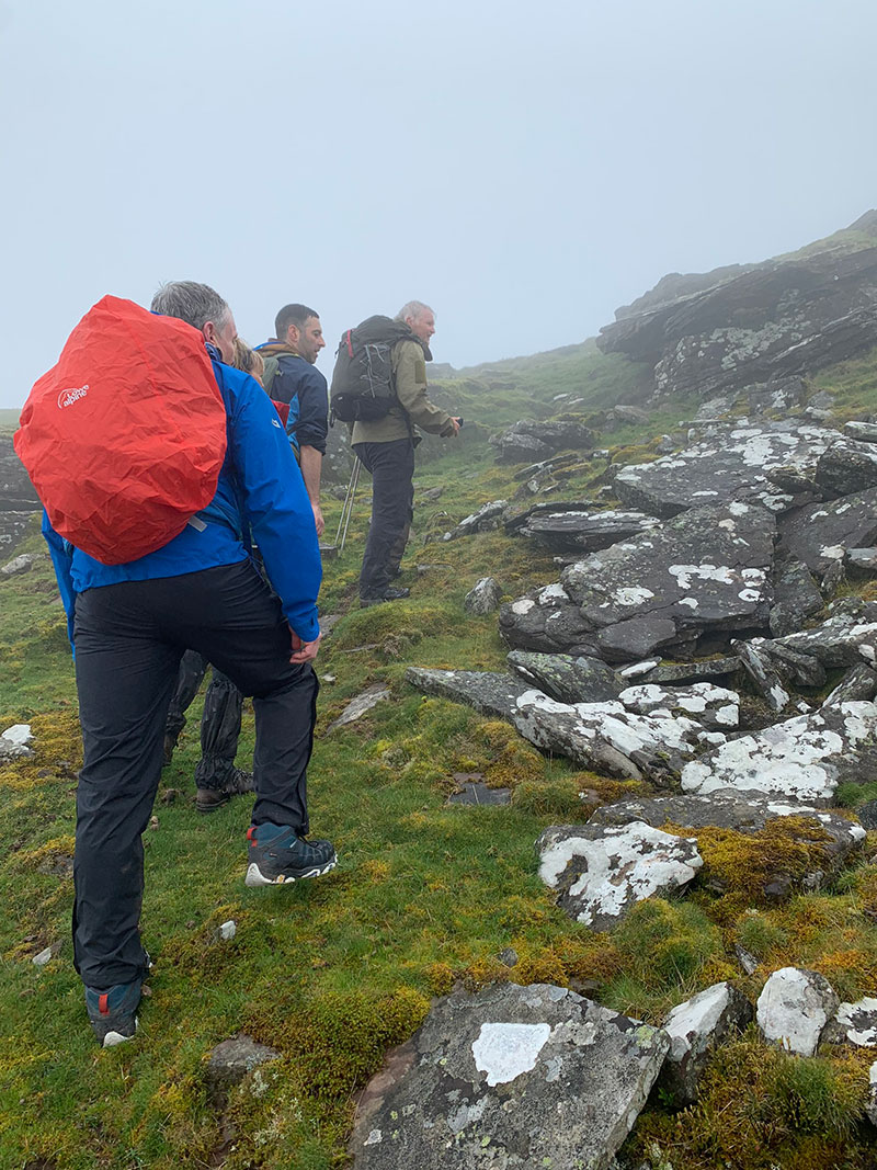
Following the ‘Beacons Way’ walk as you carry on winding your way around the mountain on your right, you will reach a U bend with a dip and then as you work your way around the bend in front of you, that’s when you will break away from the ‘Beacons Walk’ again and start taking a route up the hill towards a rocky outcrop.
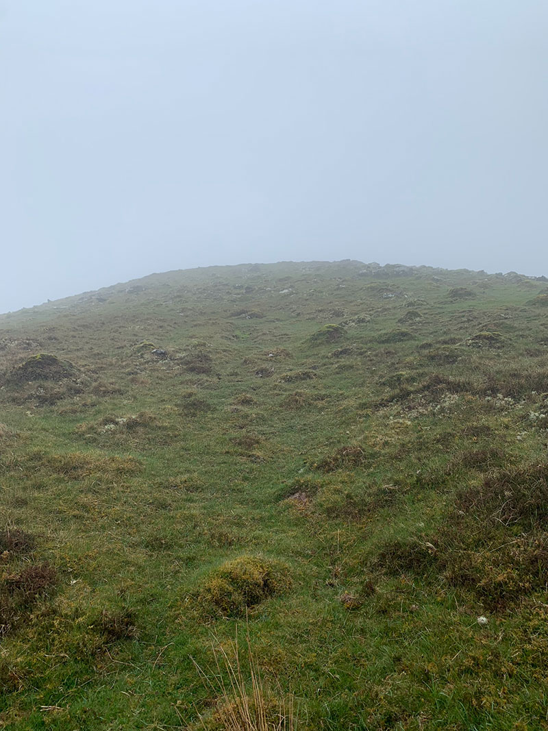
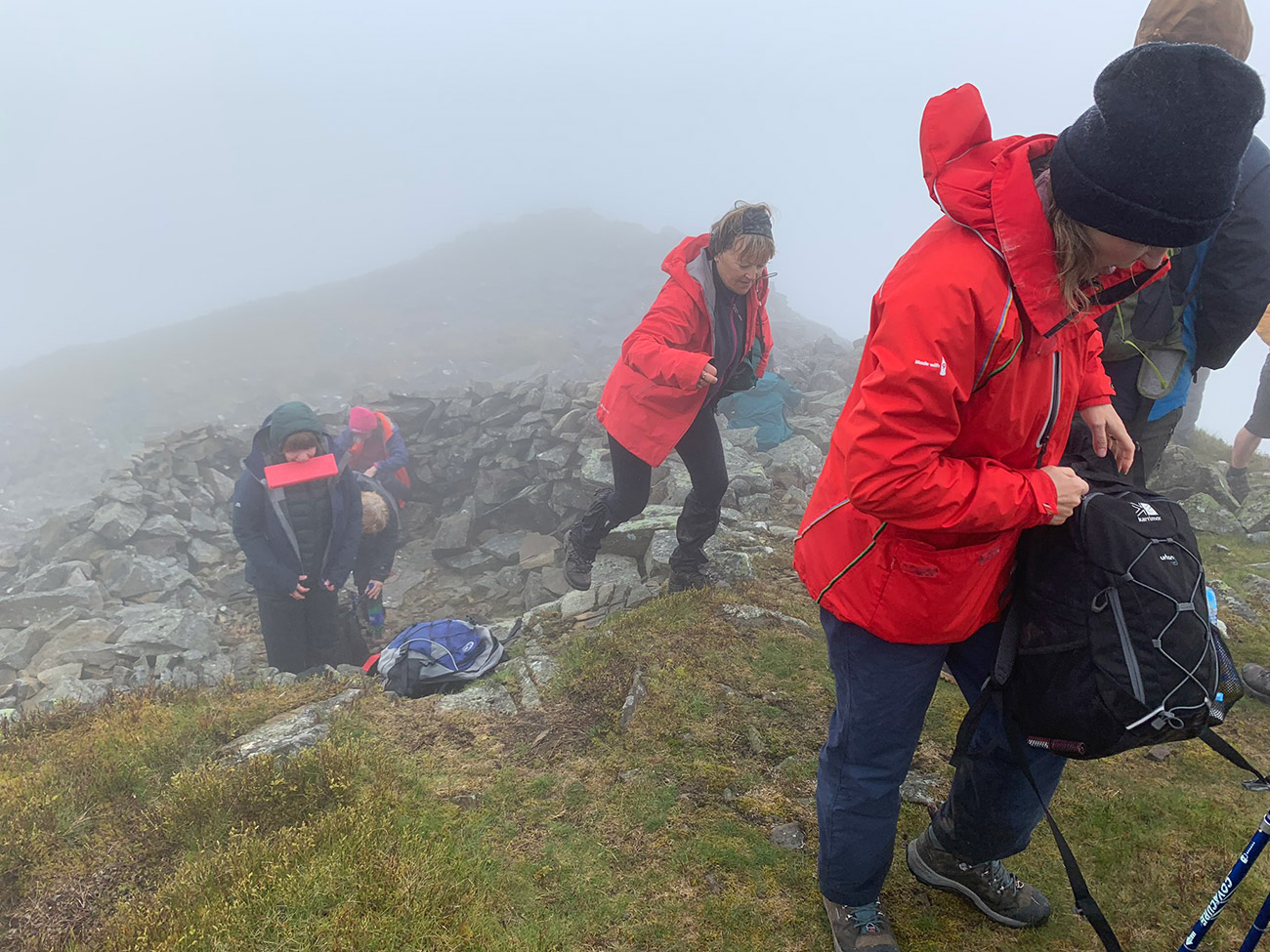
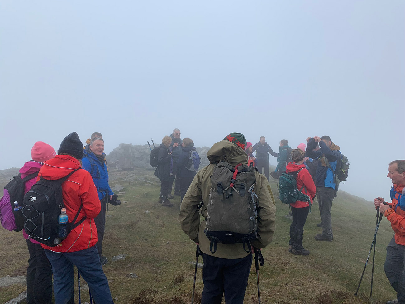
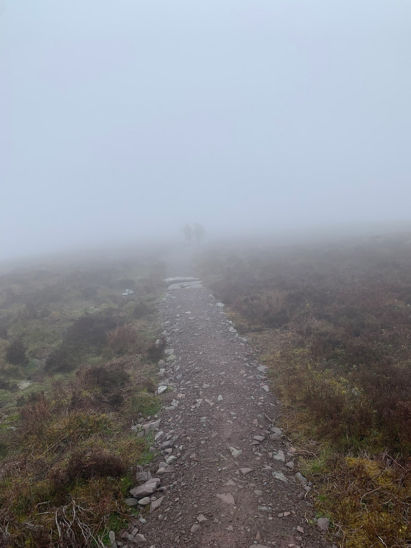
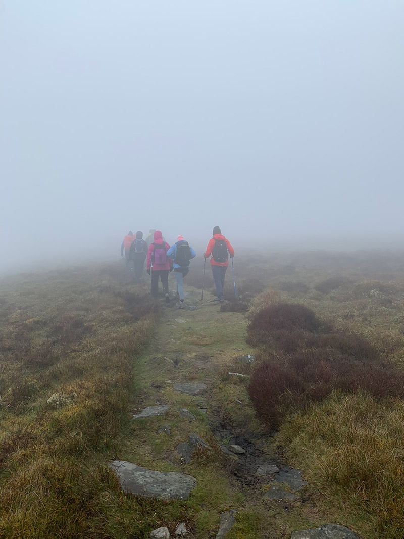
Unfortunately, as we made our way up, there was a thick fog, and so the rest of the pics are a bit dull sorry after these next ones. I think when we return in the summer, I will take more pics and maybe swap them and change the text in this blog a little bit, because the views on this walk are epic, and they need to be seen really.
But we carried on and made our way up, and had a quick coffee break above the rocky bit, before moving on.
– Find accommodation in the Brecon Beacons with Booking.com

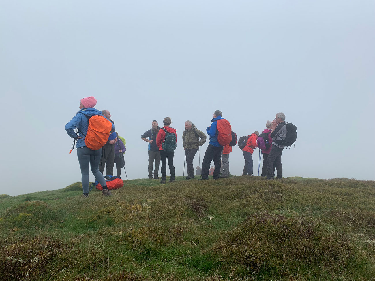
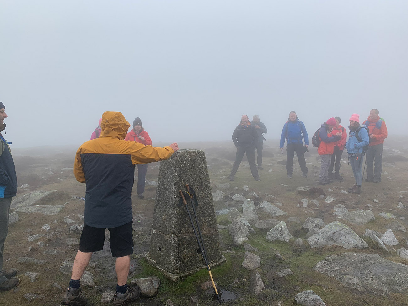
After a short break, we then carried on moving as we made our way to our first Pen, ‘Pen Gloch-y-pibwr’ at 675m, and it is very exposed so can be very windy and cold. We settled on this peak as our first proper stop, and got into a little rock hole to get out of the elements, again the rocks where very slippery and we had a couple of slips, so be careful.
We didn’t stay long in there, just had some coffee, water and sandwiches etc, and we moved on again quite soon after, so we didn’t all get too cold and wet.
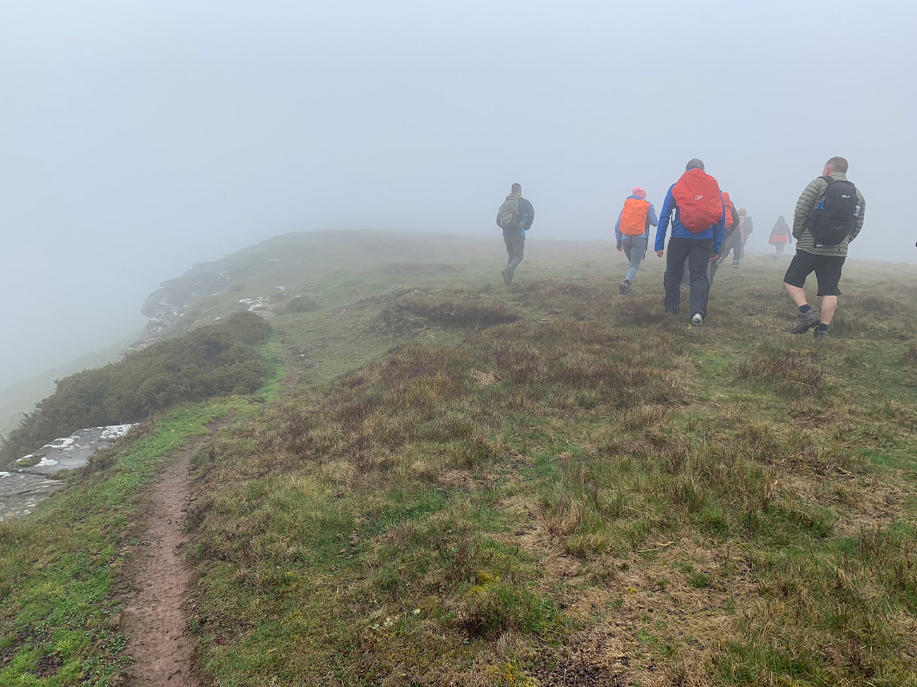
The next Pen, isnt to far away, and this is the highest one, it’s called ‘Pen Allt-mawr’ and stands at 720m, and it’s right on the end of the tip of this mountain, and again as the weather wasn’t too good, we couldn’t see a thing, in fact I think the fog got a little thicker, and once you get there, you turn right and head back but this time along the ‘Cambrian Way’ which skirts alongside the mountain on the other side, as you make your way towards the final Pen, ‘Pen Cerrig-calch’.
Having now reached your third and final Pen for this hike, the fun doesn’t stop there, there is one more mountain to see. It is the smallest on this route, but from Crickhowell, it stands out and has so much history around it. I put a post up recently which covers this mountain, and is combined with another great walk, you can read it by clicking here.
The walk from Pen Cerrig-calch to Table Mountain is a downhill walk, so you are now starting to head down, and you will see the distinctive table top from a distance, and it’s worth walking on over to it and seeing Crickhowell from this point, again we couldn’t see a thing, but I know from being there before, it is a great view.
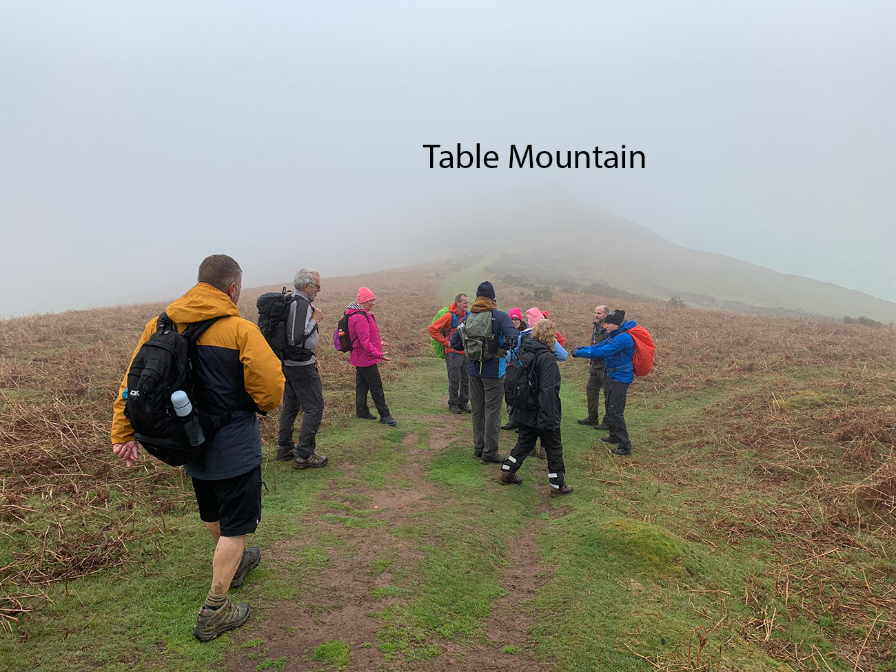
Why I said walk over to it, is because the path down on this hike goes off to the right before the mountain, so it’s fine to go over to it and then walk back to pick the path back up. But at this point there are many ways down and back to Crickhowell, so if you’re familiar or find another route on your way to this point, then for sure take it. We enjoy a coffee and a bit of cake in Crickhowell after, so getting down pretty quick is in our interest.
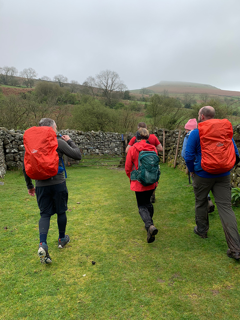
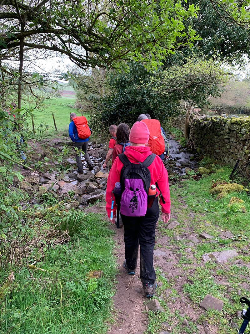
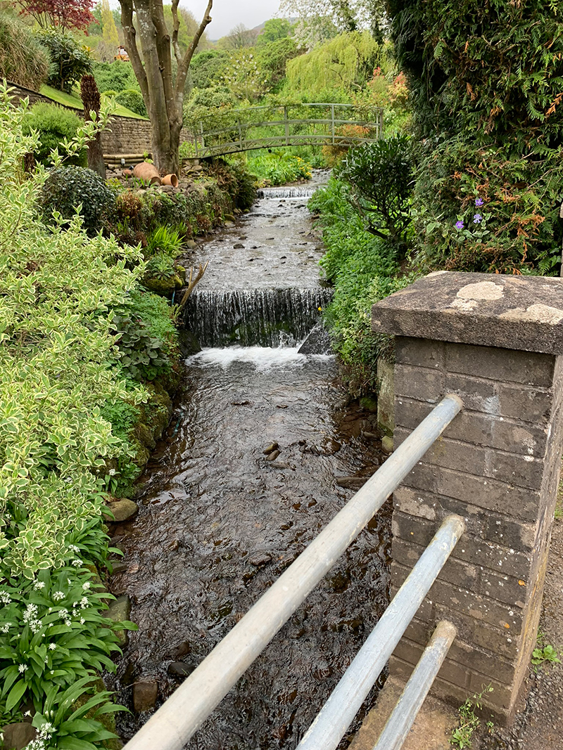
Finally as we made our way past Table Mountain we left the fog behind, and the colours of the fields returned, and it’s a nice trek back through Cwm Cumbeth, and back to the point where we left the busy A40 main road.
I’ll add some of those pics below, just to show how green it usually is, and some of the interesting little spots and things you will see.
That’s it, you’re all done, back at the car and hopefully the weather has been good, and you have had a great experience.

It is worth downloading this route onto the Outdooractive app, it’ll re-assure you time wise and that you’re not heading in the wrong directions. There is so much space up there and lots of alternative paths you could accidently join.
Hope you enjoy this walk, and I’d love it if you could share this post either with the social media buttons that follow you down the screen on your left, or below in the footer. Also, comments are very welcome, I love meeting new people and talking and you never know we could meet up on one of our walks.


You could arrange all your accommodation, travel, days out, meals and tickets with all the links below. I have used every one of these options in various countries, and I was very pleased.
- Find ‘accommodation’ in the Bannau Brycheiniog (Brecon Beacons) using booking.com
- Find cheap ‘bus‘ & ‘train‘ tickets for your next trip
- Rent ‘cars’ at best prices in all countries
- ‘Tripadvisor in Wales‘ – well we all know what this awesome website offers!
- Things to do in ‘Wales’, including niche offers you won’t find anywhere else
- Local trips or cross-country, find info and ‘book train tickets’ for popular journeys in the UK and rest of Europe.