
Walk this route yourself in 3D!
The Video is a 3D walk through of this route, it will give you a unique sense of having walked through the route before you start.
I have created 3D Videos of my adventures and have shared them with the OutdoorActive community as well as my walking community.
Twmbarlwm Walk Circular – Iron Age Hill Fort above Cwmcarn, South Wales – 3D Video
Many people will know this area for different reasons, the Cwmcarn forest drive is very popular and a really nice day out, and this mountain is also very popular with mountain bikers, and add in the Twmbarlwm Walk, and you have an all-round beautiful spot for everyone, this is a beautiful walk, topped off with a visit to the Iron Age Hillfort.
I hope you have watched my video above; it will give you a great perspective on the walk, and if you enjoyed it, I’d love a ‘Like‘ and a ‘Subscribe‘.
Getting There: Directions, GPX and App Link
The Hiking App I use is ‘OutdoorActive‘ which has a free and Pro version, the Pro version will allow you to download the routes to your phone and use them without using up your data.
The reason I mention it is that if you were to download it, below is the link to this route in my hike list on that app, you can follow the arrows and voice on that. I think it is best that you do get the app, as most of these walks are a bit tricky to explain.
- Cwmcarn is a village between Abercarn and Crosskeys, along the A467 about 20 minutes from Newport.
- When you arrive at Cwmcarn, at the large roundabout take the right exit and follow the obvious signs until you reach the entrance to the car park. This link to Google Maps will take you there.
Navigation Aids:

- Follow this route on the Outdooractive App, it is free, and it will guide you around safely.
- Download my hand crafted *GPX file, and use it on your own guidance devices.
- * If you’re not sure what a GPX file is, I have put this post together that will hopefully explain it in plain words. It’s worth considering as well as mobile app navigation, as they will make your hikes better & safer.
Hike Map
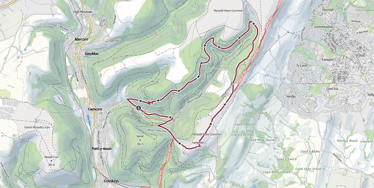
Hike Profile
- Distance: 7m / 11km
- Duration: 4 hours
- Highest point: 1371ft / 418m
- Difficulty: Moderate (steep short climbs), sometimes loose terrain through the woods.
- Route conditions: Well-worn pathways most of the way around, good walking shoes are a must really.

Sim Local can help reduce or even eliminate roaming fees completely. Click here for eSIM data plans worldwide! 10% Discount using ‘WELSHMAN’
Hike Description & Pics
This route is available from my OutdoorActive account, it is free and will guide you all the way around, no getting lost. Once on the app, click ‘Navigate’ in the bottom bar, and from the walk’s start point it will guide you all the way around.
Let’s get going – If you need help organising this trip, see links below.
Best place to start is at the Cwmcarn Visitor Centre, there is plenty of car parking but it does get busy, and from there you can set off any direction you want to.
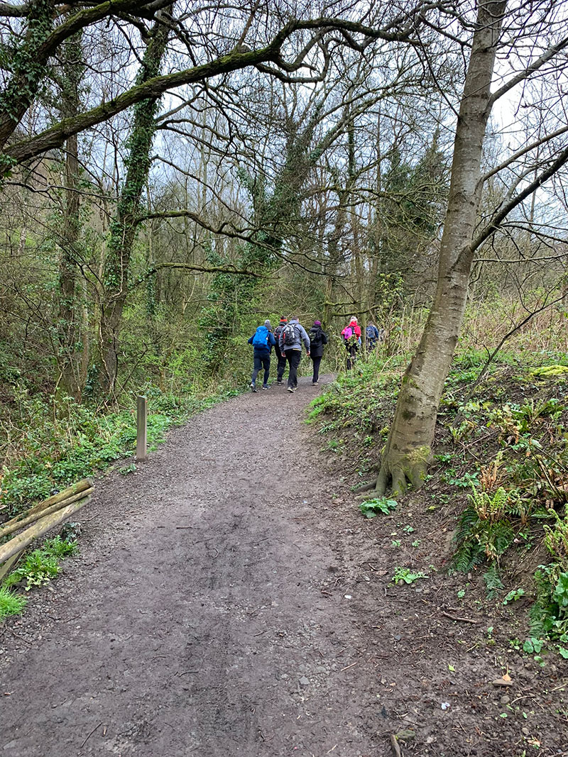
We parked in the lower car park, so on the other side of the river to the centre and set off towards the end of the car park, keeping the visitor centre on your left. The video I created for YouTube is at the top of the page, this will give you an idea of what we see on our walk and when you are actually there, you’ll see you are going the right way for this trail.
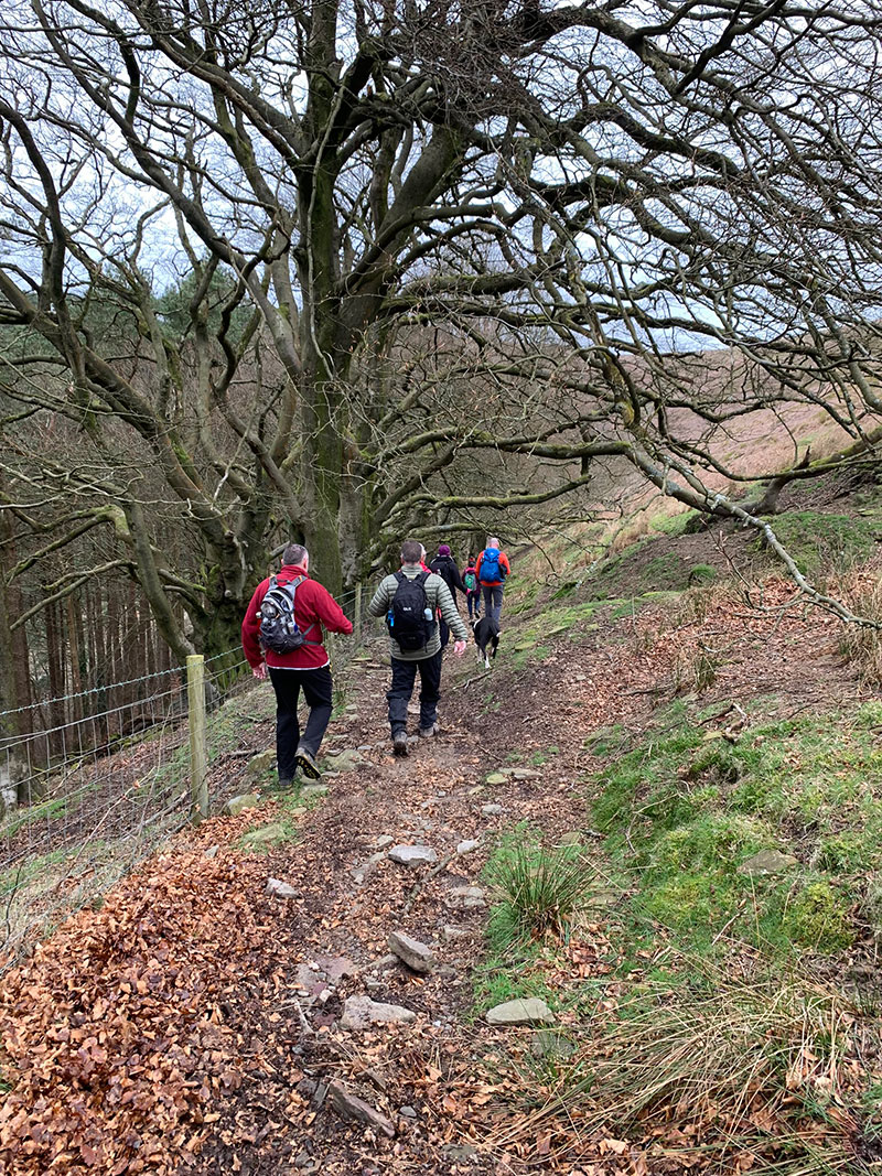
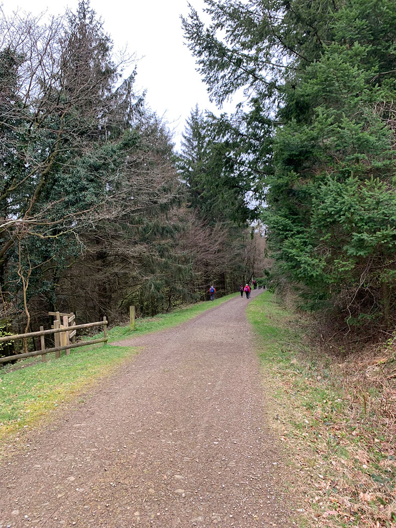
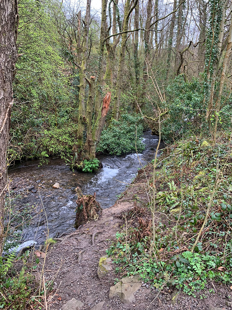
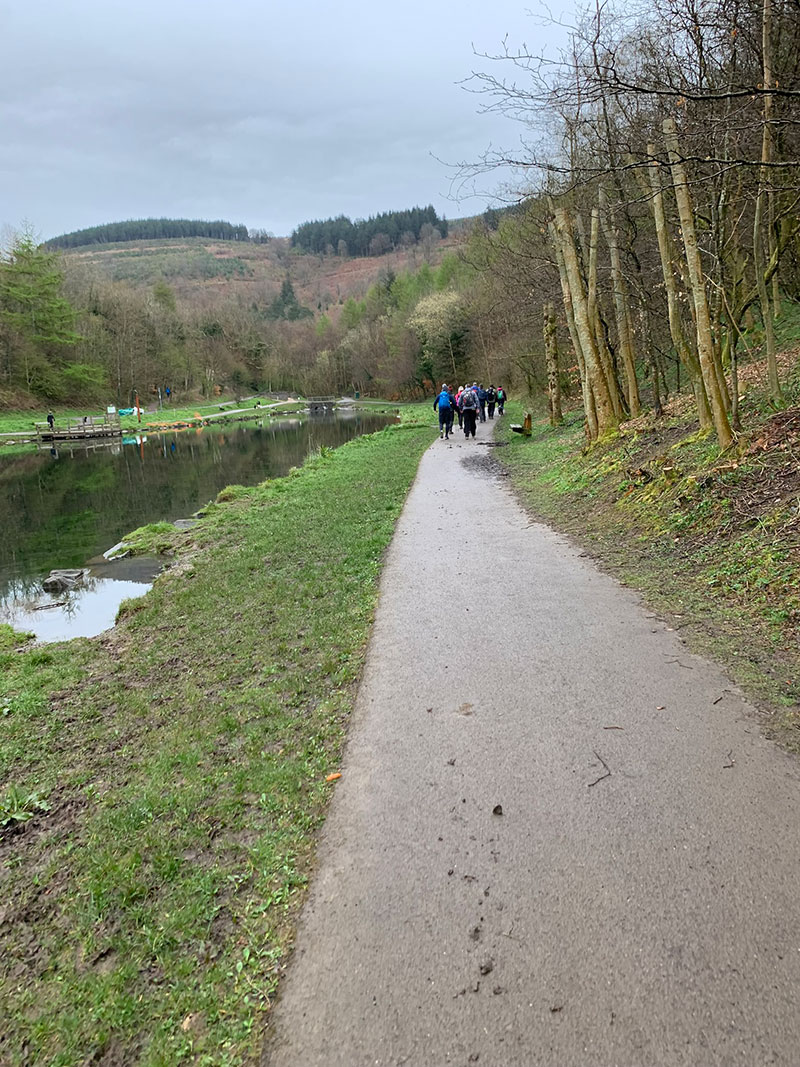
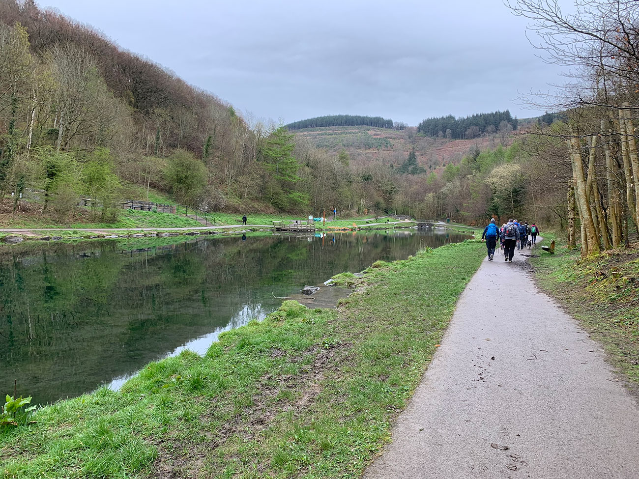
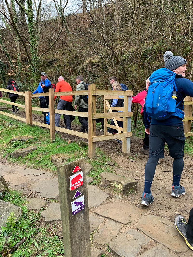
It’s a great start to a walk, as you are instantly in the woods pretty much, and have a nice river called ‘Nant Carn’ flowing the other way on your left and as you walk on further a small lake will appear on your left. You are now walking along the ‘Cafall Trail’, and at the end of this path, you will join a path turning to your right and you are then starting to head up hill.
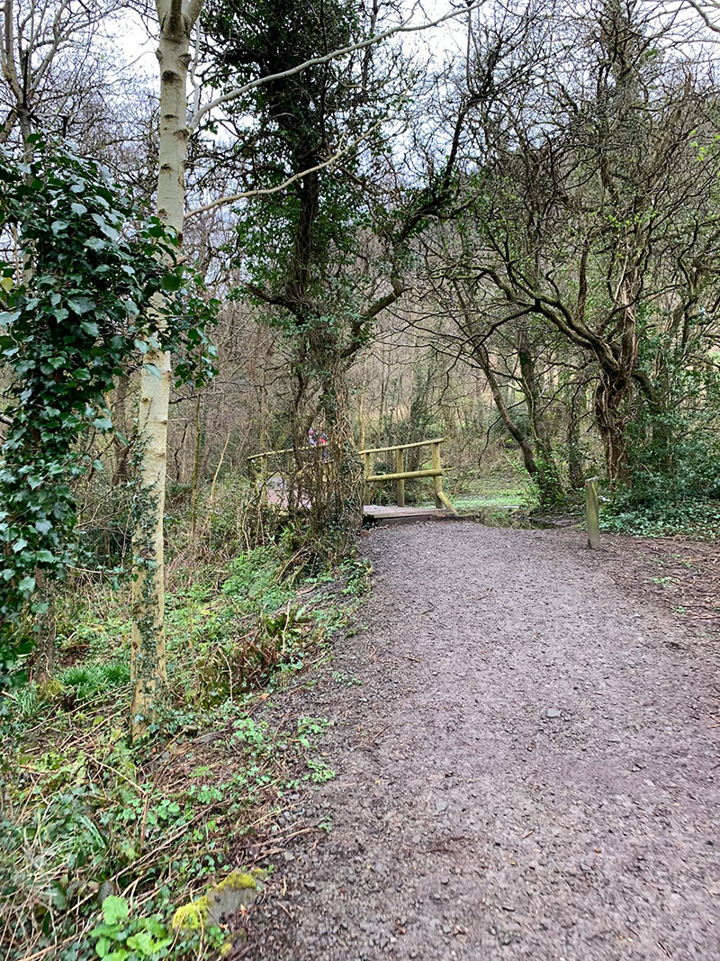
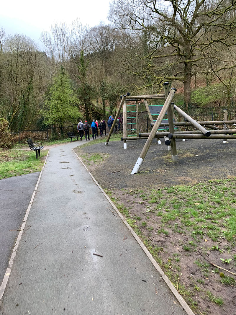
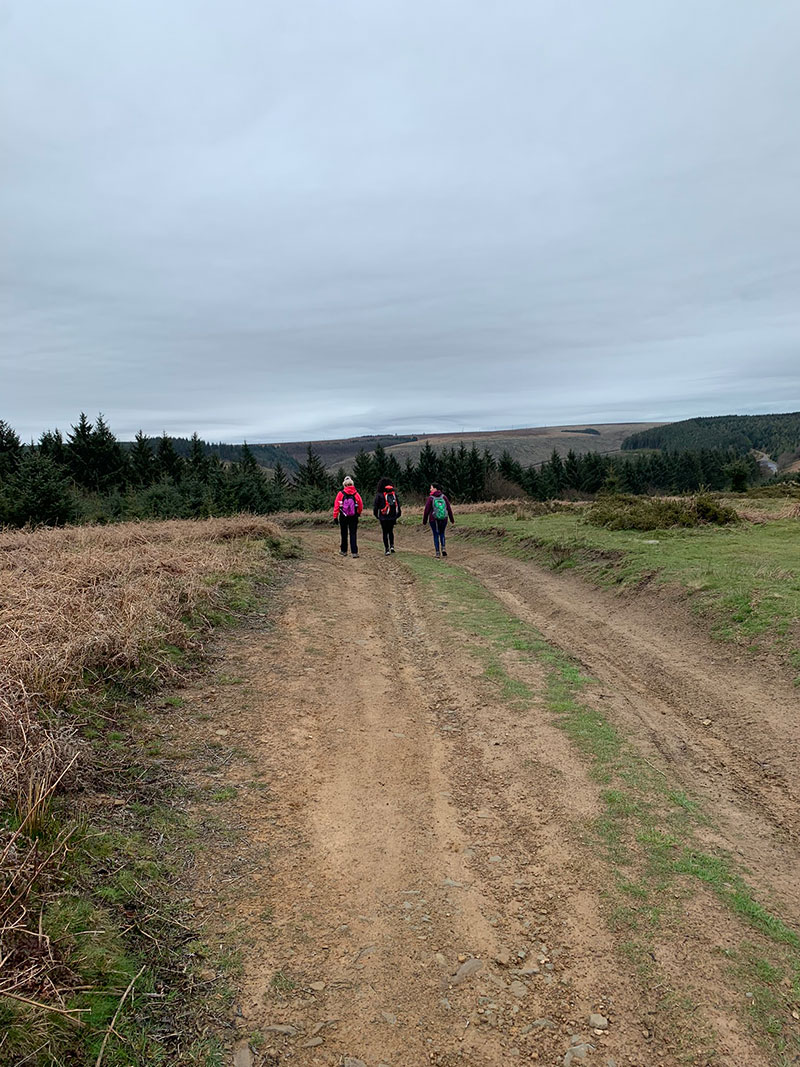
This path will lead you to a small childrens play area, and you will zig zag your way further up the hill, along really well-maintained paths, through a few gates and then the area will open up and you are on your way towards Twmbarlwm.
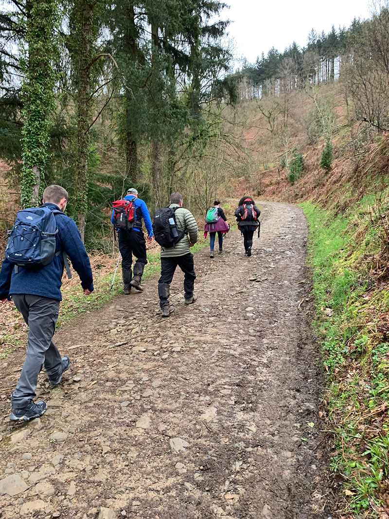
Along this path/road take the time to stop now and again and appreciate the birds and the sound of the tree’s as you walk up further, it’s a really nice quiet area, but you are at this point still on the dirt path. As you continue on you will really briefly join a road, and then once again join the dirt path further on up.
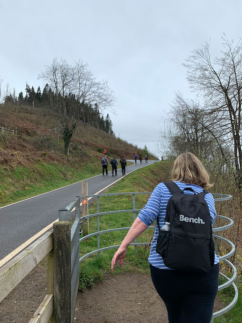
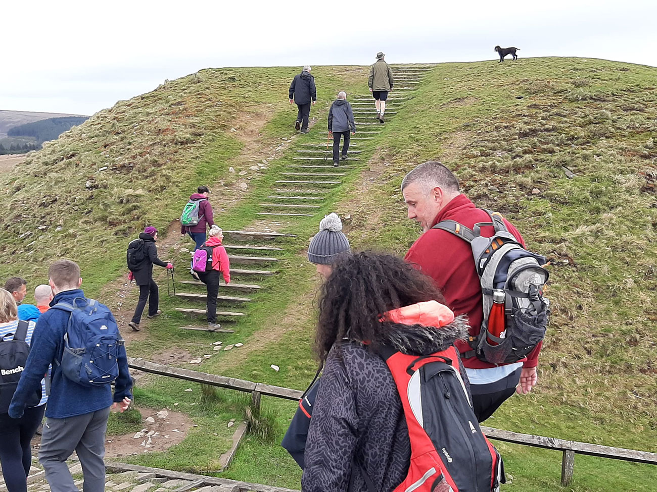
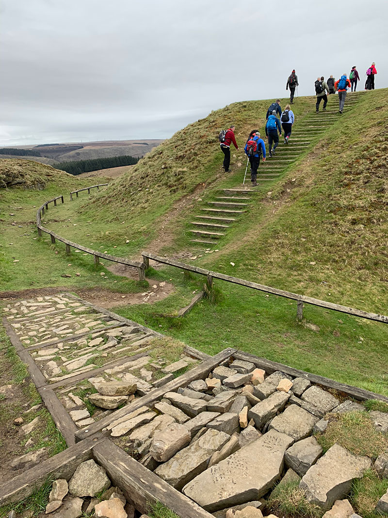
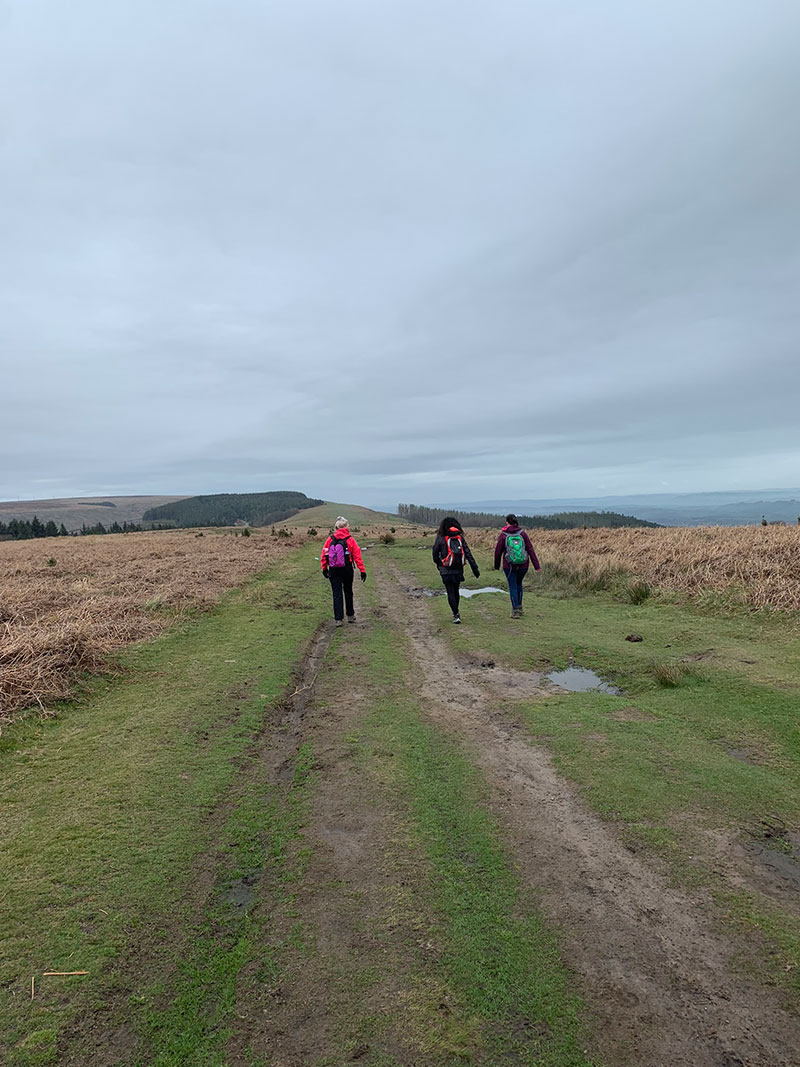
On the road, it winds around a little, and then you will come to a gate where you will see a little hill in front of you. This is quite steep, and could be slippery if wet, as it’s well worn.
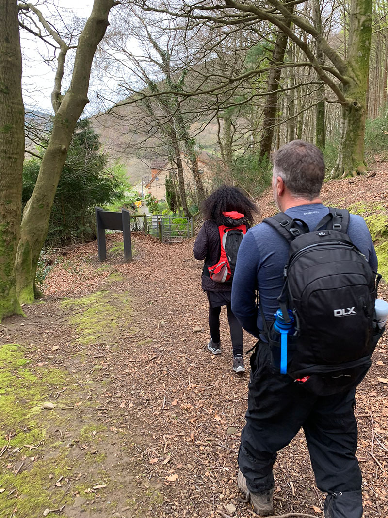
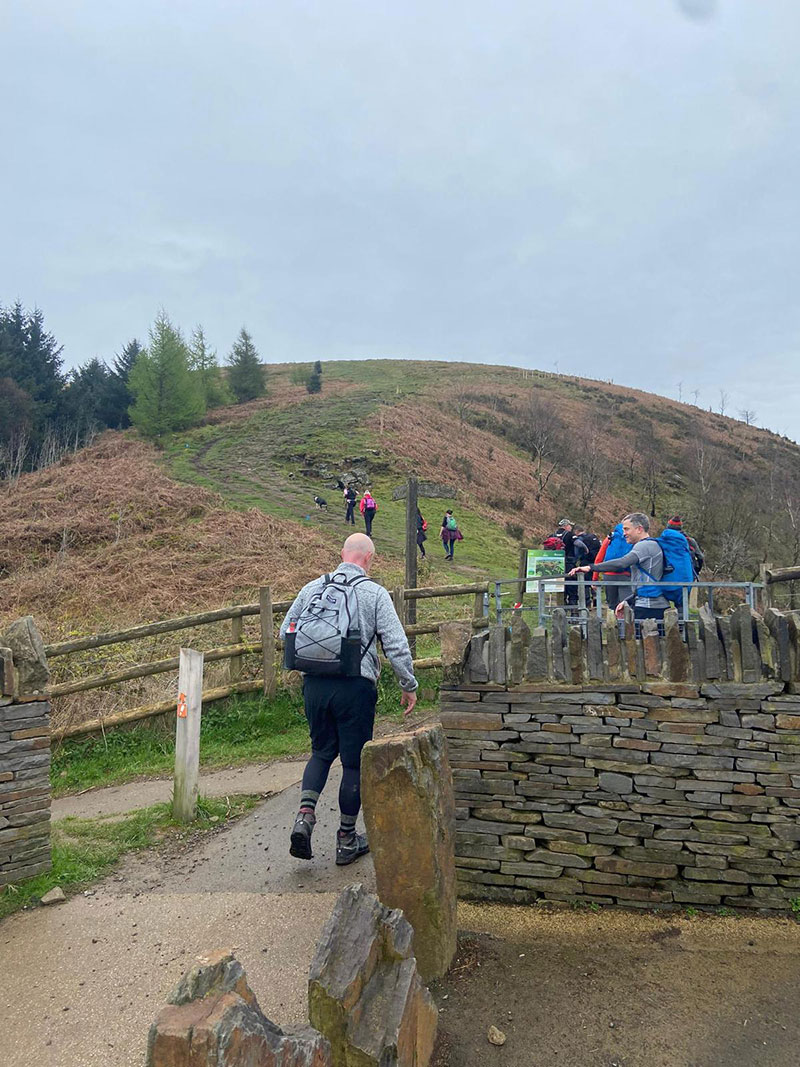
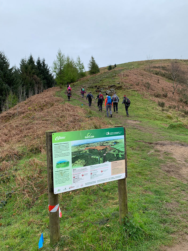
There is an information sign to your left, that gives you some information about Twmbarlwm, and it gives you an idea of what views you will get. It’s worth a read.
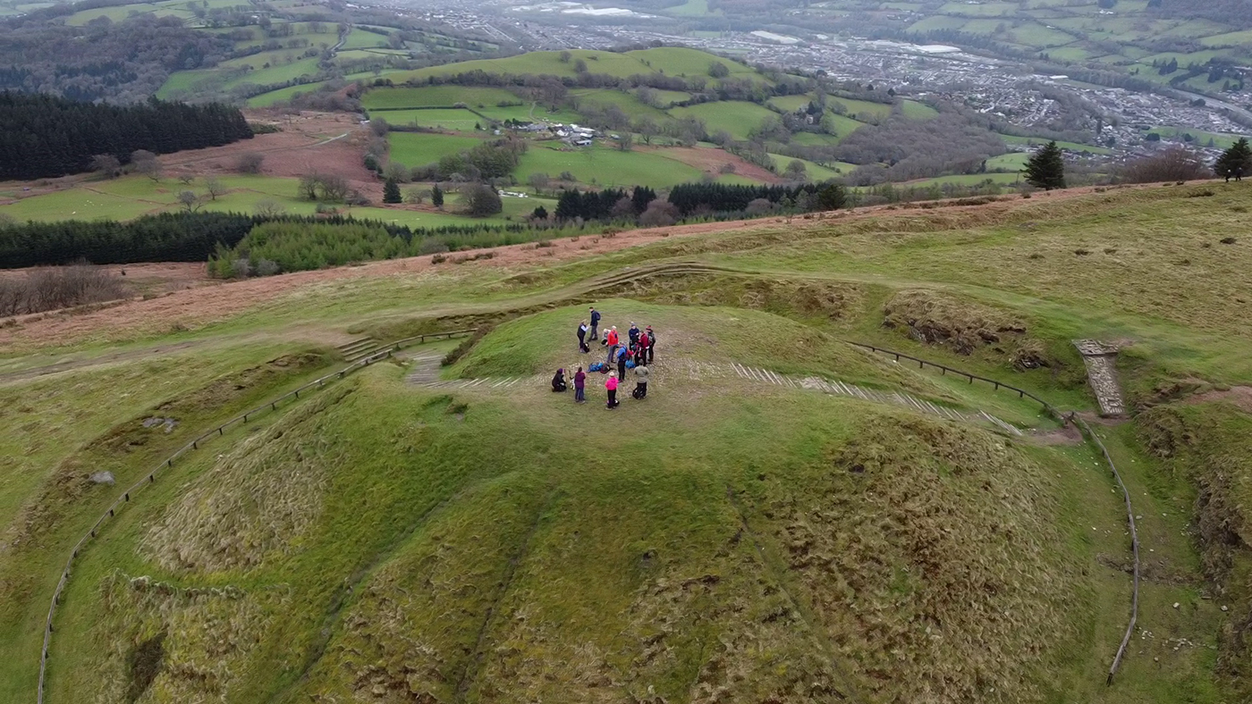
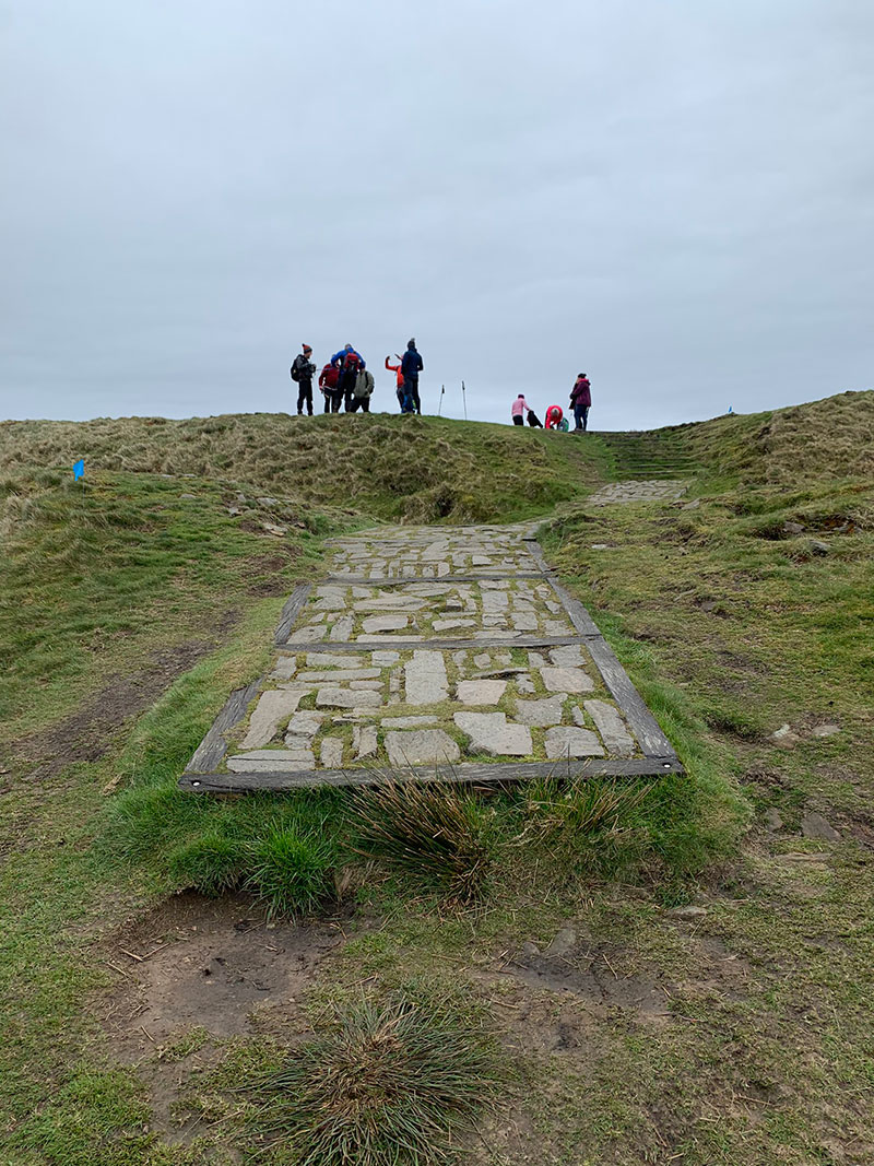
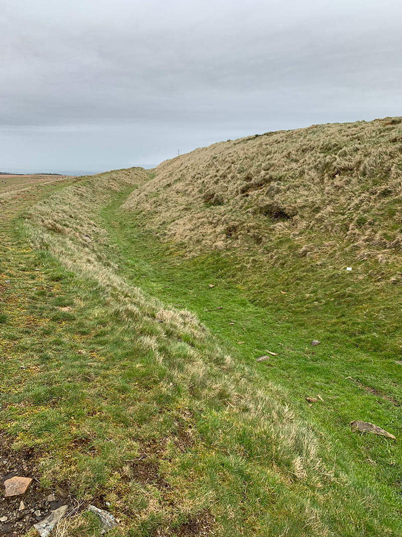
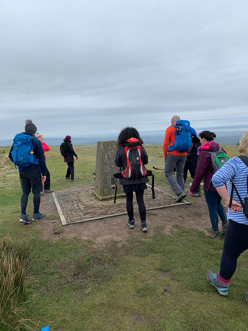
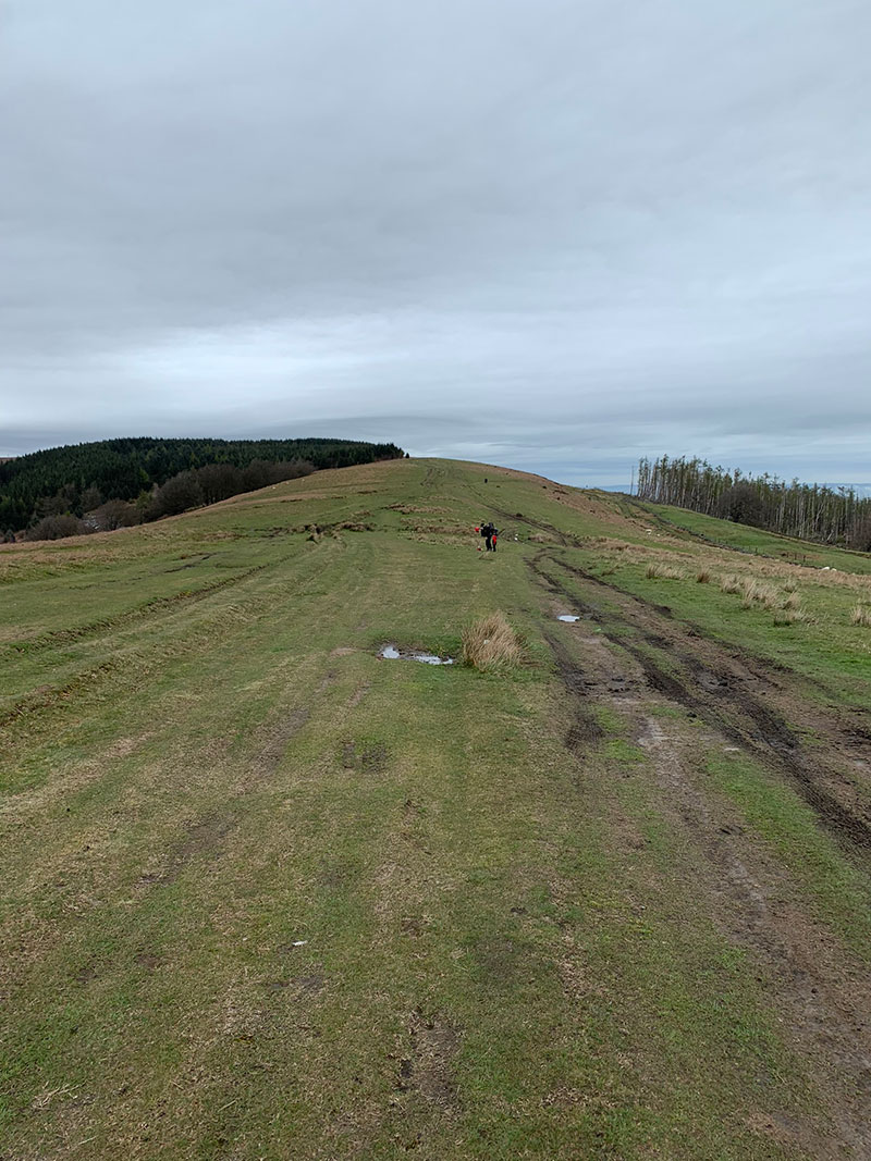
At the top of this bit, you will start to see the makings of the hill fort with the ramparts and a nice well laid stone path that guides you up and forward onto the Trigpoint.
– Find accommodation in the Brecon Beacons with Booking.com

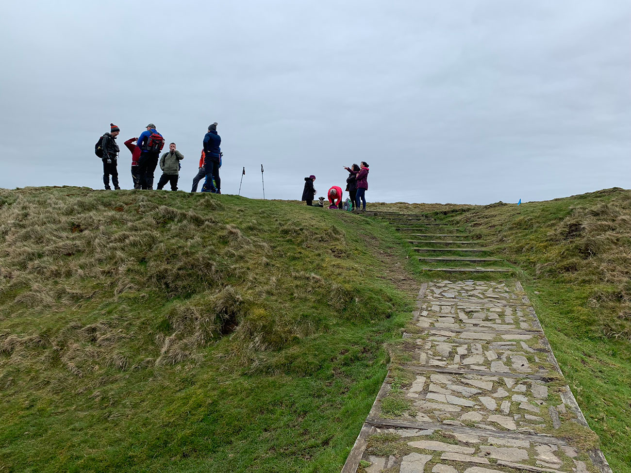
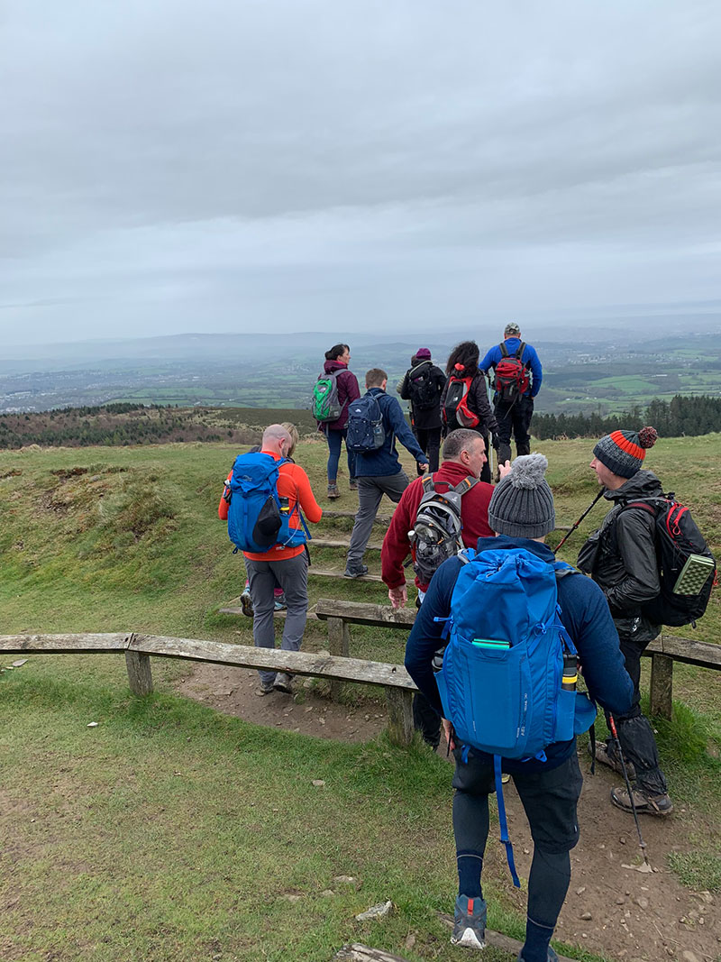
You are now pretty much at the heighest point, you walk past the Trigpoint and then onto the Hill Fort itself, it’s very easy to see, and if you haven’t been before it does make you stop and wonder and also you really appreciate how it’s been looked after and how it’s presented, we were nicely surprised.
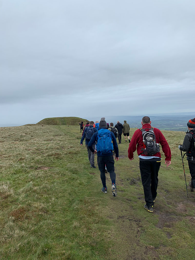
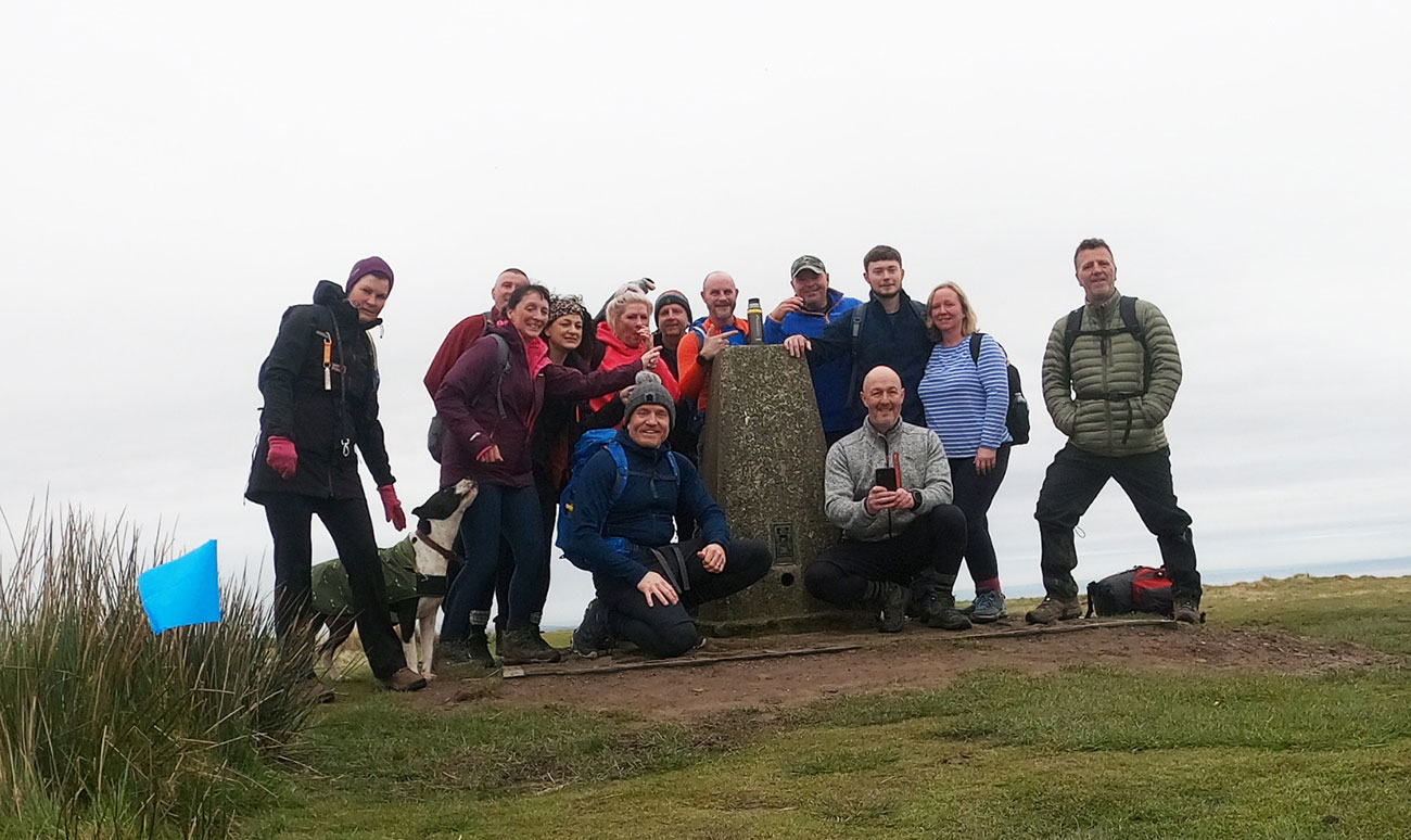
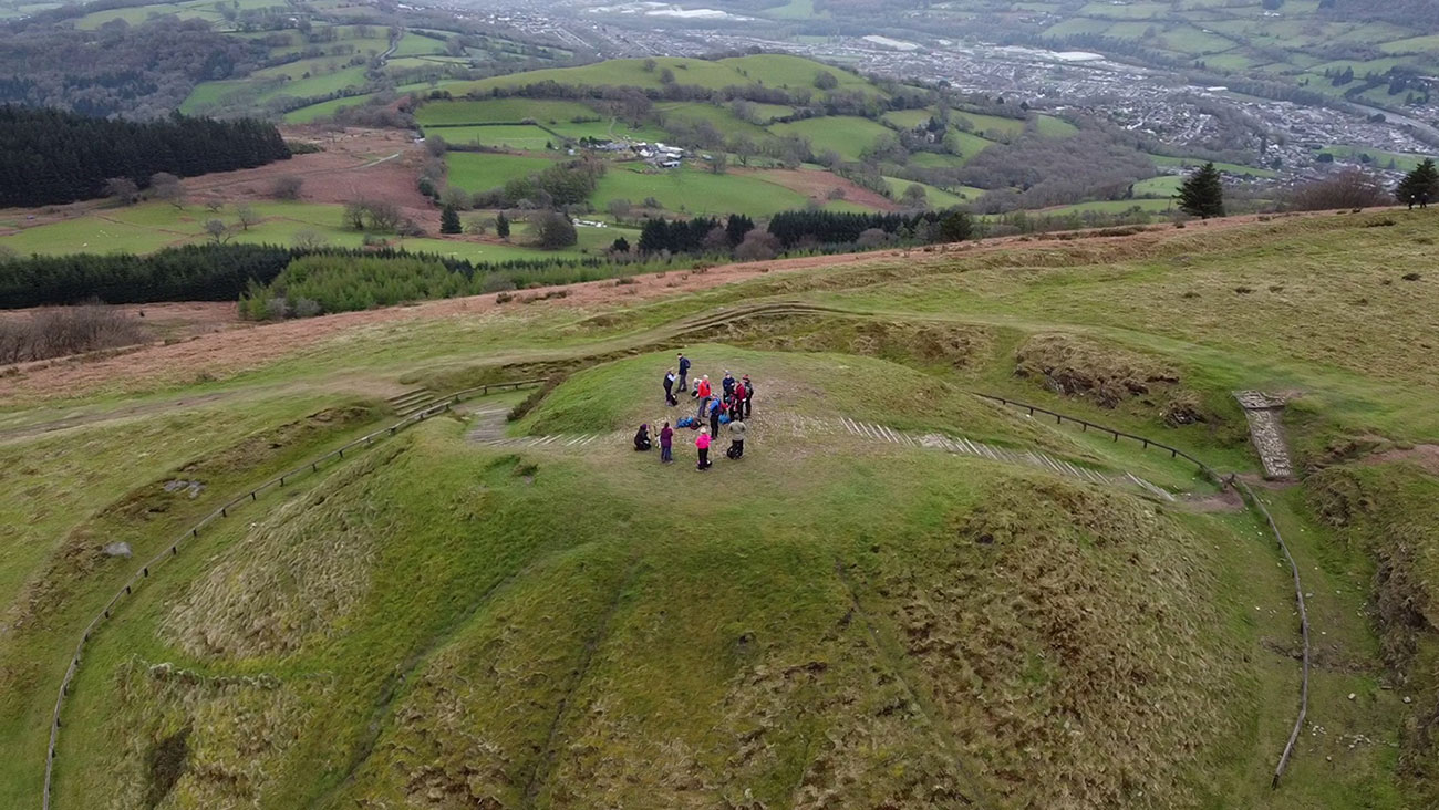
Once we all made it to the hill fort, we had a coffee and a sarnie, and then we all did our own thing for a bit, taking in the views, having a chat, or a sit down, and Nick got the drone out and took some incredible footage over the hill fort, which really makes the video above. You get a much better sense of the area, and how its built and so we were there a good half hour I expect, before we went down the other side and started to walk off following the mountain through the gate and onto Mynydd Moen Common.
You can follow Nick on his Instagram account, and see all his footage, and he’d love a follow and a comment if you have the time; https://www.instagram.com/bozboy_hiking_drones/
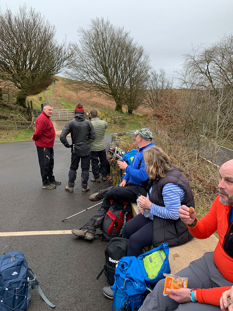
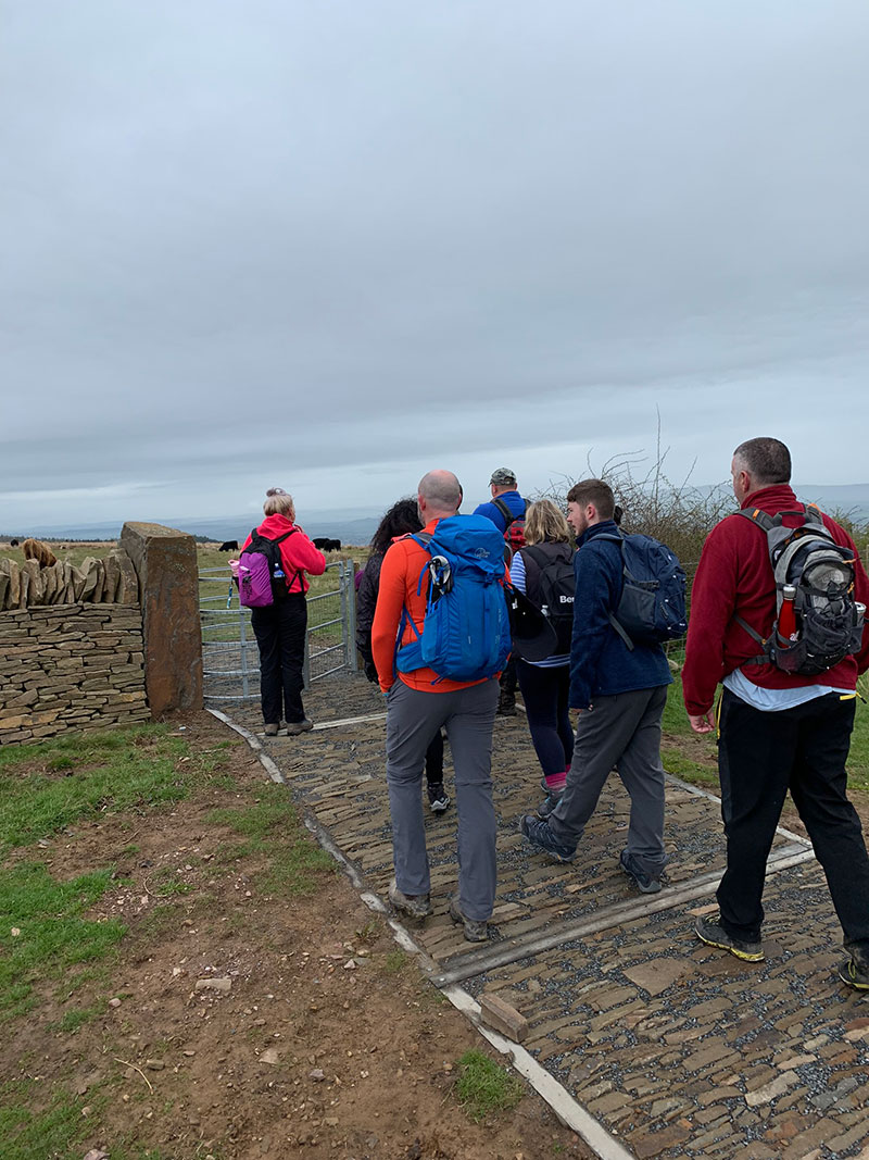
Once you’re off the hill fort and passed through the gate to walk into the mountain top, you are then basically heading back. It’s very open at the top here, and you stary walking straight for about a mile, then a path will take you down to your left slightly and you will arrive at a car park, and once there we had a sit on the wall and had a lunch break, and work out the rest of the route.
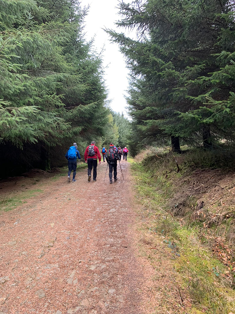
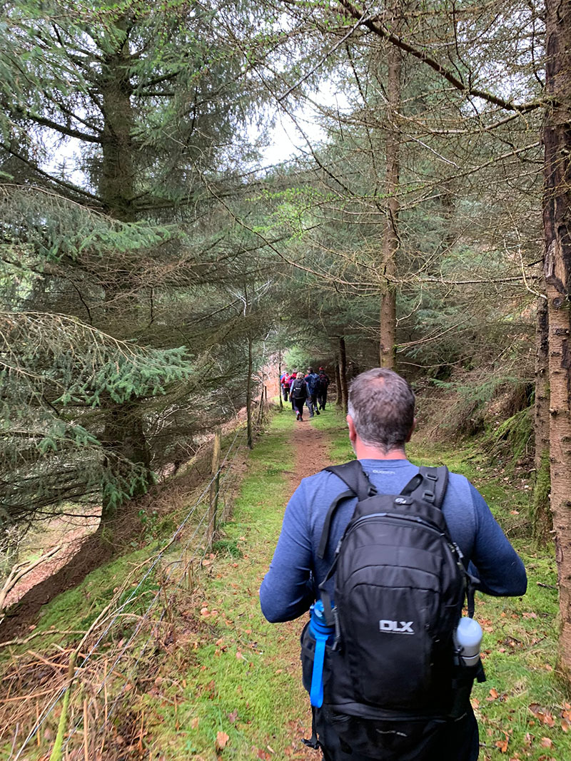
You will walk through some lovely woods, and probably see plenty of mountain bikes as this route is also very popular for that sport, but there is plenty of room, just something to look out for.
The route I have created for you and is in the links above with the other details will guide you all the way back to the visitor centre, and then back to your car.
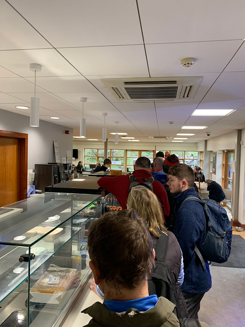
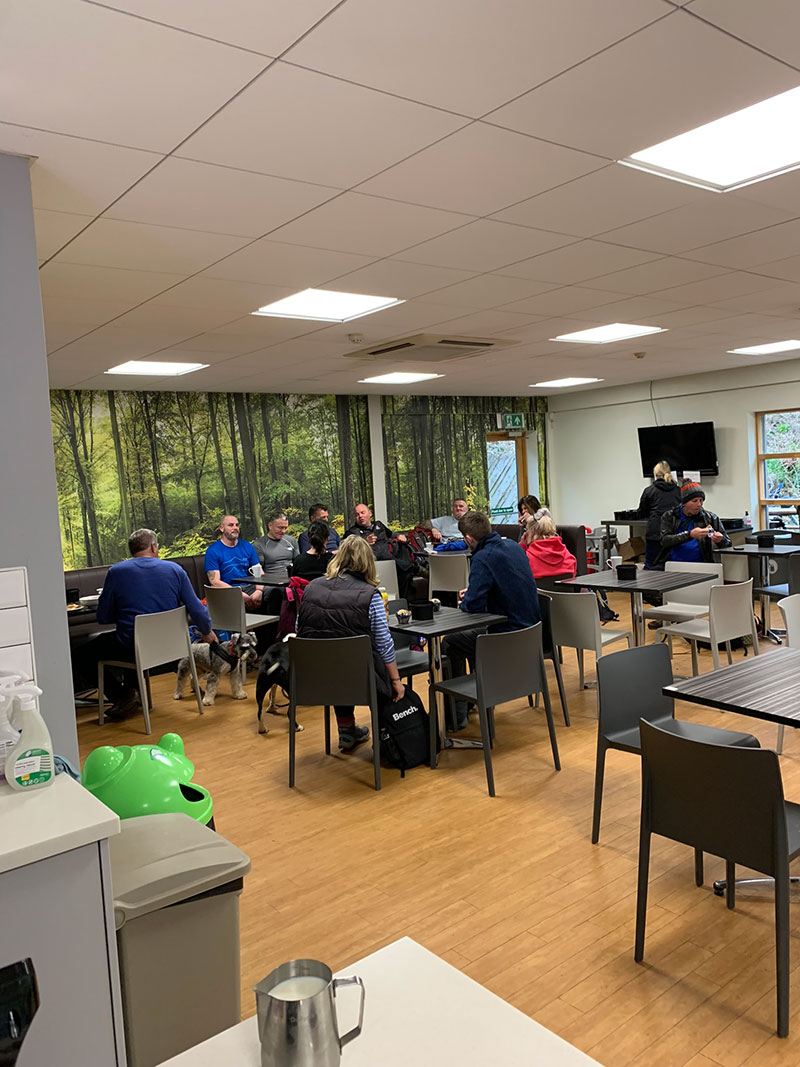
I will add the remaining few pics below so you can see parts of the return route and the centre itself, which is a great place to finish off with a coffee and something to eat. They also have all the facilities you will need, and an outside sitting area.