


Region: Cornwall – Lizard Peninsula, South West Coast Path, England
Places To Stay: Base yourself in Lizard village for the closest access to Lizard Point, Kynance Cove and this circular route. Mullion is another good option with coastal walks, coves and pubs nearby, while Helston gives you more shops, places to eat and easy access to the wider Lizard Peninsula. Looking for more English walks? Head to my ‘England Hiking Guides’ page to see more routes across Cornwall, Dorset, the New Forest and beyond.
This 12km circular walk around the Lizard Peninsula is one of those routes that feels properly Cornish from start to finish. You begin near Polpeor Cliff and Lizard Point, the most southerly point of mainland Britain, before following the coast north towards the famous turquoise water and serpentine rocks of Kynance Cove.
From there, the route heads across quieter inland paths towards Cadgwith, a traditional fishing village that still feels full of character, before returning along the coast past Housel Bay.
It’s a walk packed with variety: dramatic cliffs, rare geology, old lifeboat and shipwreck history, fishing cottages, hidden coves and big Atlantic views. Kynance Cove will probably be the busiest section, especially in summer, but the full circular gives you a much better feel for the whole peninsula rather than just doing the short out-and-back to the famous viewpoint.
If you enjoy coastal routes like this, my Old Harry Rocks and Studland Peninsula Circular Walk combines famous sea stacks with chalk downland, heath and woodland, while the Rhosili Bay and Worm’s Head Circular Walk follows one of the finest sections of the Gower coast. The Solva to St Davids Coastal Walk is another brilliant Welsh route filled with coves, cliffs and maritime history, and my Dunstanburgh Castle Circular Walk combines the wild Northumberland coast with one of England’s most atmospheric castle ruins.
Below are a few ideas for day tours & trips around Cornwall. GetYourGuide makes it easy to book + see more here.
For a bigger selection of Cornwall accommodation, Booking.com has plenty of cottages, lodges and hotels to browse.
Getting There: Directions, GPX and Map
- Start/Finish: Parking near Polpeor Cliff / end of Lighthouse Road, close to Lizard Point. – Google Maps pin.
- Parking: Parking is available near Lizard Point, but it can get busy in peak season. Arrive early if walking in summer.
- Transport: Bus services run to Lizard village from Helston, with a short walk down towards Lizard Point.
- GPX: Download the GPX file here.
- Route Finder: Follow this route on my Outdooractive and Komoot profiles
- Avoid the early start – find accommodation in Lizard
Travel Data: I use eSIMs to stay connected — quick setup and no roaming faff when I’m heading further afield. Sim Local has been solid in Europe with good prices and coverage. Plus you get 10% Discount using WELSHMAN.

Hike Profile
- Distance: ~12 km / 7.5 miles circular.
- Duration: 3.5–5 hours depending on stops.
- Ascent/Descent: ~350 m
- Highest Point: Coastal high ground above the Lizard Peninsula.
- Difficulty: Moderate — not technical, but there are cliff paths, ups and downs, and exposed coastal sections.
- Terrain: Coast path, rocky coves, grassy cliff-top paths, inland tracks, village lanes and uneven sections.
- Best for: Coastal views, geology, photography, wildlife, fishing village history and classic Cornwall scenery.
Route Overview
| Section | From → To | Distance | Notes |
|---|---|---|---|
| 1 | Polpeor Cliff → Lizard Point / Coastguard Cliff | 1 km | Start right at the southern edge of mainland Britain with cliffs, lighthouse views and big Atlantic scenery. |
| 2 | Lizard Point → Kynance Cove | 4 km | One of the best coastal sections of the walk, with cliffs, coves and wide sea views. |
| 3 | Kynance Cove → Inland paths towards Cadgwith | 3 km | Leave the busy cove behind and head across quieter countryside towards the east side of the peninsula. |
| 4 | Cadgwith → Housel Bay | 3 km | Traditional fishing village, steep paths, hidden coves and classic Cornish coastline. |
| 5 | Housel Bay → Polpeor Cliff | 1 km | A short final stretch back towards the lighthouse and the car. |
Flying into London? Quick Skyscanner Checker
Hike Description
The walk starts near Polpeor Cliff, right down at the end of Lighthouse Road, and straight away you know you’re somewhere special. This is the far southern tip of mainland Britain, with the Atlantic stretching out in front of you and the cliffs dropping away on either side.
You’re also close to Lizard Point, a place with a long history of shipwrecks, lighthouse warnings, coastguards and rescue crews watching over one of the most exposed stretches of coastline in Cornwall. It’s the kind of start where you’ll probably spend ten minutes just looking around before you’ve even properly started walking.
The National Trust car park and facilities around Lizard Point make this a practical place to begin, although it can become extremely busy during summer, school holidays and sunny weekends. Starting earlier gives you a better chance of finding a space and also means reaching Kynance Cove before the largest crowds arrive. Lizard Point is connected to the South West Coast Path and has several local paths leading between the point, village and surrounding coastline.
From the parking area, head west along the coast towards Lizard Point and Coastguard Cliff. The path is easy enough to follow, but I wouldn’t rush this first section.
The whole area feels like you are standing on the edge of the country. The sea can look calm and blue one day and completely wild the next, and you can understand why this coastline has needed lighthouses, lookout points and rescue crews for generations.
The Lizard Lighthouse has warned ships away from the surrounding rocks since the eighteenth century, and even today the combination of offshore reefs, strong currents, fog and Atlantic storms gives this coast a much wilder atmosphere than the distance from the village might suggest.
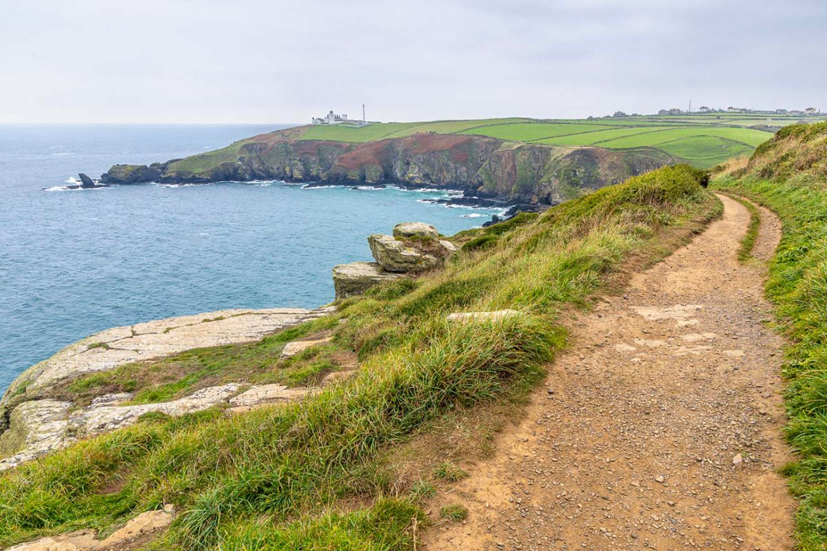
As you continue north-west, the route settles onto the South West Coast Path towards Kynance Cove.
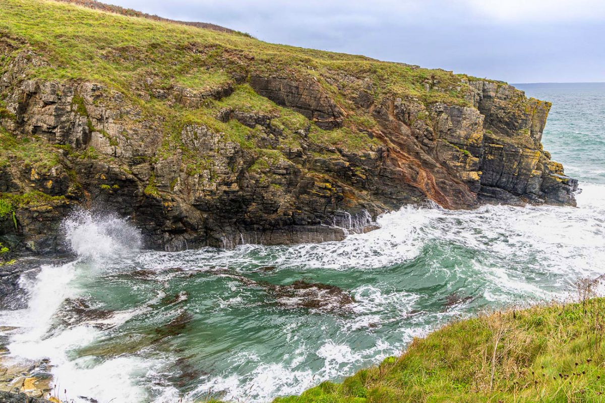
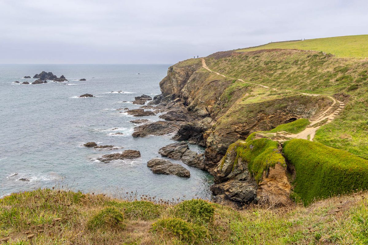
This is easily one of the best coastal sections of the walk. The cliffs, stacks and coves keep changing as you move around the peninsula, and every bend seems to produce another photograph.
It is not a flat stroll. There are regular dips and climbs, rocky sections and places where the trail runs reasonably close to steep drops, although nothing should feel technical to anyone comfortable with ordinary coastal walking.
The path is exposed to wind and weather, so conditions can feel completely different from those in Lizard village. Keep away from unsupported cliff edges and take particular care after rain, when polished rock, mud and worn grassy slopes can all become slippery.
On clearer days, this is also one of the best sections for watching the sea. Seals are regularly seen around the Lizard coastline, and seabirds use the cliffs and offshore rocks. Basking sharks and dolphins are possible during the warmer months, although naturally there are never any guarantees. The South West Coast Path specifically highlights seals and basking sharks as wildlife that may be seen around the western side of the peninsula
Kynance Cove is the big showpiece of the route.
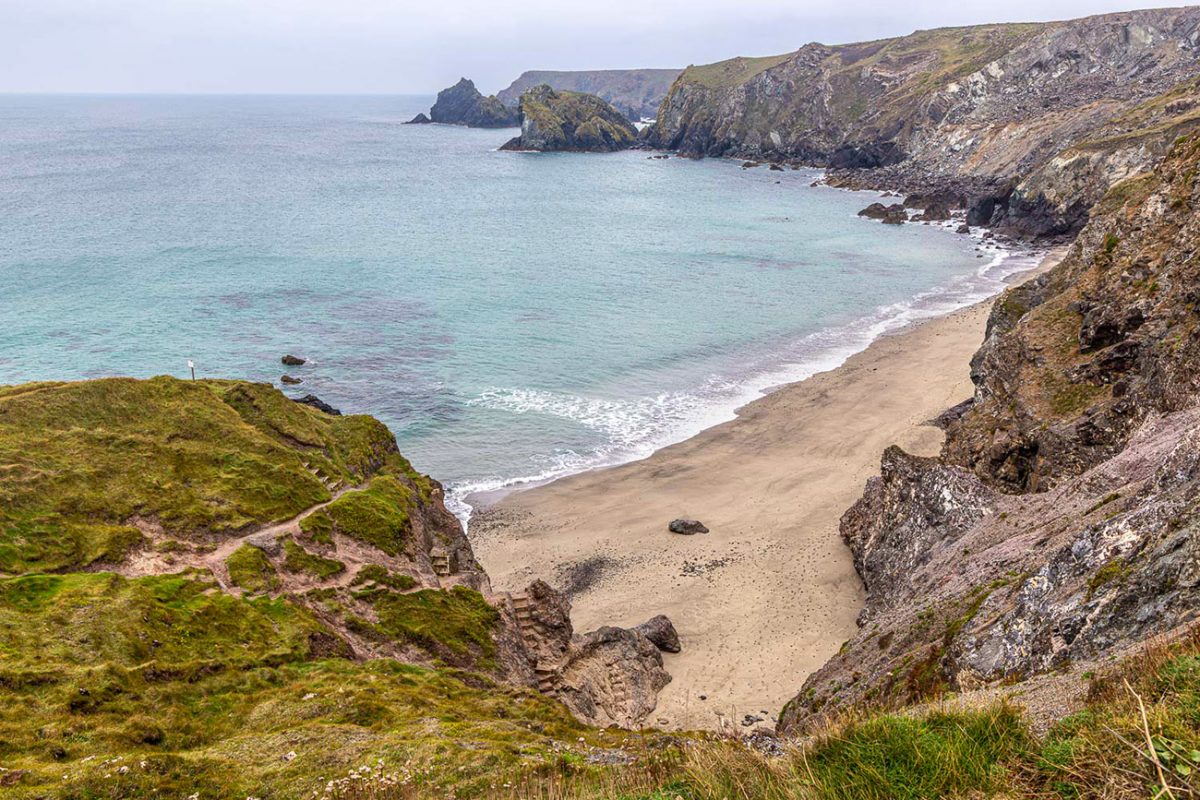
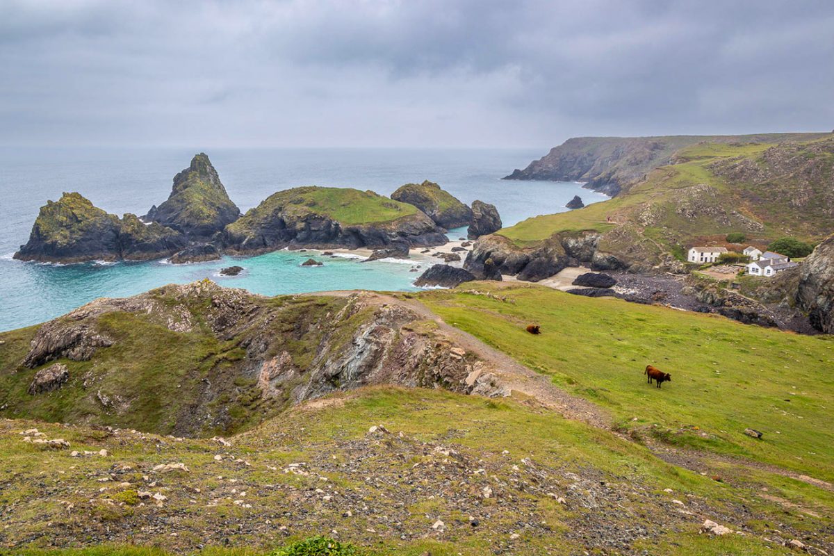
The first view down towards the cove is one of those Cornish scenes that almost looks too colourful to be real. White sand, clear turquoise water and dark red-green rock sit beneath steep grassy cliffs, with sea stacks and small islands scattered around the bay.
The geology is a huge part of what makes Kynance so distinctive. The cove contains one of Britain’s most important and extensive exposures of serpentine rock, which gives the cliffs and stacks their unusual greens, reds and dark polished surfaces. The famous rock formations were given names such as Asparagus Island, Gull Rock and Steeple Rock during the Victorian period, when Kynance became a popular visitor destination.
This is also where you will probably meet the most people.
Kynance is enormously popular, particularly during summer and around low tide, when more of the sand, caves and rocks may become accessible. It is still worth taking your time here, though. Drop down towards the beach when the tide and conditions allow, explore the viewpoint paths and perhaps stop at the café before continuing.
Tide conditions matter if you intend to walk across the sand or explore beneath the cliffs. The safest route is always the recognised Coast Path above the cove, and you should not enter caves or isolated sections of beach when the tide is rising.
The National Trust car park sits above Kynance, while the cove itself is approximately 2.5 miles along the Coast Path from Lizard Point. Facilities and the café can be seasonal, so I would still carry enough food and water for the full walk rather than depending on them being open.
A lot of people walk here from Lizard Point, take their photographs and return the same way. Instead, you leave the busy cove behind and carry on across the peninsula, which makes the day feel far more like a complete journey.
This middle section gives your legs a break from the constant coastal rises and falls, and the change in atmosphere is immediate. The sea disappears behind hedges and fields as quieter tracks, lanes and farmland begin to show another side of the Lizard.
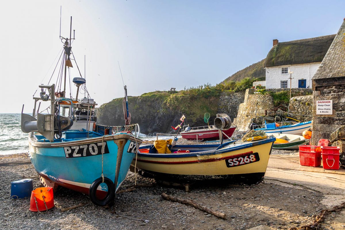
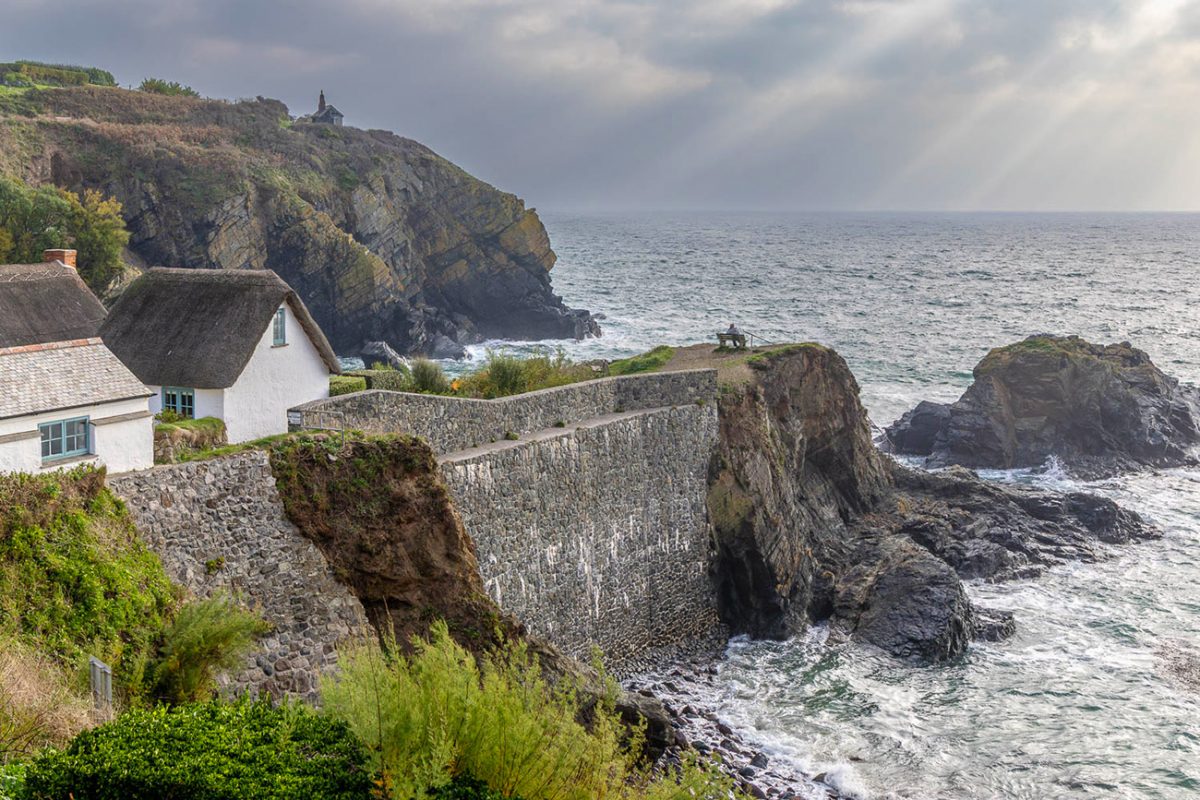
Eventually, the fields and lanes lead towards Cadgwith, a village that still feels genuinely connected to the sea rather than simply built beside it. Fishing boats are hauled onto the shingle, stacks of pots and equipment sit around the cove, and cottages crowd tightly onto the steep hillside above.
The narrow lanes and thatched roofs give Cadgwith a wonderfully old-fashioned feel, but it is not merely a preserved tourist village. Fishing remains part of its identity, and the boats on the beach make the cove feel alive and working.
Cadgwith is a perfect place to pause before the final part of the route. There are usually opportunities for refreshments around the village, although opening days and times can vary outside the main season.

From Cadgwith, turn south and rejoin the South West Coast Path.
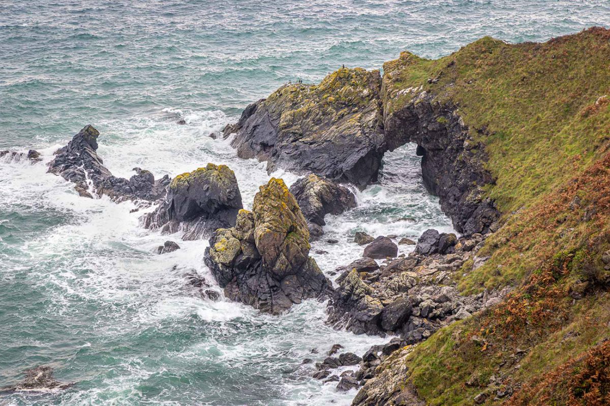
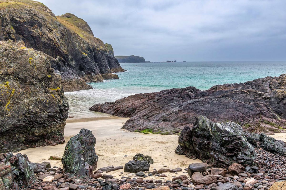
This eastern side of the peninsula feels wilder again, but in a different way from Kynance. The cliffs are darker and rougher, the coves feel more enclosed and the trail is usually much quieter.
The route passes high above a succession of caves, rocky inlets and headlands. This stretch contains some short, steep climbs and descents, and the South West Coast Path describes the Cadgwith section as challenging, with high cliffs and strenuous coastal ground.
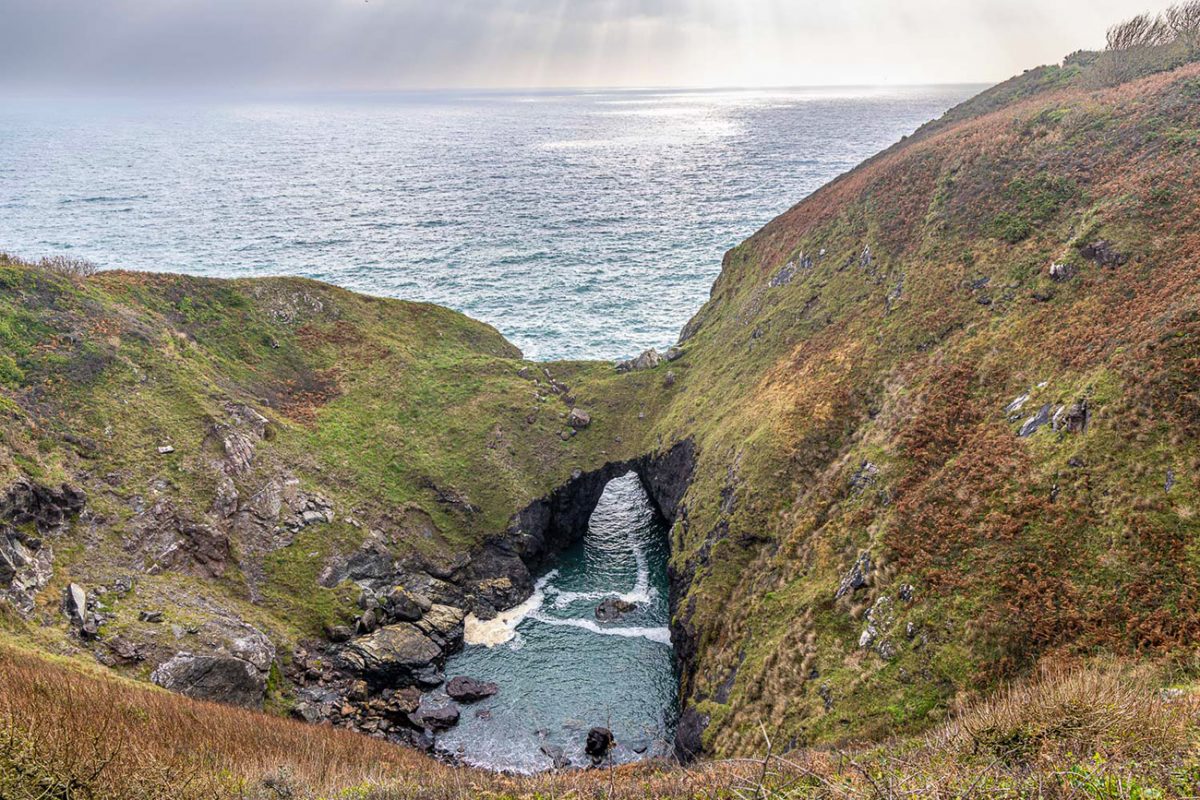
One of the most impressive geological features near Cadgwith is the Devil’s Frying Pan, a large hollow created when the roof of a sea cave collapsed. Depending on the precise GPX line, it may require a small detour, but it is worth including when following the coast around the village.
Housel Bay is tucked beneath the cliffs close to Lizard Point and gives you one final beautiful coastal moment before the walk closes its loop.
It can look incredibly sheltered from above, particularly when the water is calm and clear, but access to the beach depends on the condition of the path, tide and weather. There is no need to descend to enjoy it because some of the best views come from the Coast Path above. From Housel Bay, the familiar outline of the lighthouse begins to reappear.
You have reached the same end of the peninsula where the day began, but approached it from the opposite coast after crossing the entire southern tip of the Lizard.
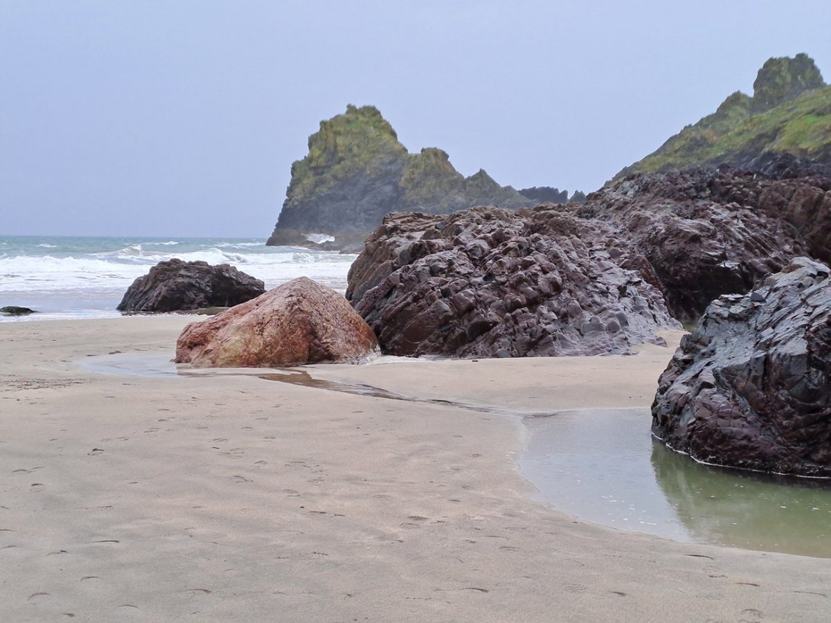
The final stretch brings you back towards Polpeor Cliff and the end of Lighthouse Road. By now, you have seen the peninsula from both sides: the exposed cliffs and turquoise water around Kynance, the quieter fields across the centre, the fishing history of Cadgwith and the rugged eastern coast around Housel Bay.
It is not a huge mountain day and there is no technical terrain, but the repeated coastal climbs, exposed ground and twelve-kilometre distance still make it feel like a proper walk.
More importantly, it gives you much more than a quick visit to Lizard Point or Kynance Cove. You finish with a real sense of the peninsula, its geology, fishing villages, wildlife, cliffs and the constant presence of the Atlantic around almost every part of the route.
Absolutely brilliant Cornish coastal walk.
Places to Stay in Cornwall
For a bigger selection of Cornwall accommodation, Booking.com has plenty of cottages, lodges and hotels to browse.
Recommended Stays
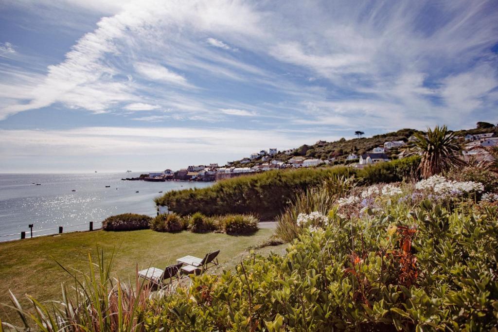
The Bay Hotel in Coverack offers direct beachfront access, a sun terrace, and a lush garden. Guests can relax by the shore or enjoy the outdoor seating area.
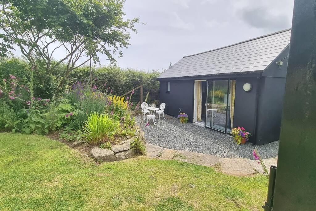
Little Hallegan-with private woodland
Little Hallegan-with private woodland offers a serene retreat in Camborne. Guests enjoy a private garden and free WiFi, perfect for relaxation.
Practicalities
- Start early: Kynance Cove and Lizard Point can get very busy in summer, so an early start makes the whole walk calmer.
- Cliff edges: Stay well back from the edge, especially in wind, rain or poor visibility.
- Footwear: Trail shoes are fine in dry weather, but walking boots are better after rain as coastal paths can be slippery.
- Tide: Check tide times if you plan to go down onto Kynance Cove beach.
- Food & water: Options at Lizard Point, Kynance in season and Cadgwith, but still carry water and snacks.
- Weather: The Lizard can feel very exposed. Pack a waterproof and warm layer even if it looks bright at the start.
- Dogs: Dogs are allowed on much of the route, but keep them close around cliffs, livestock and seasonal beach restrictions.
- Navigation: The coast path is generally clear, but the inland link towards Cadgwith is where a GPX is most useful.
- Wildlife: Look out for seals, seabirds and, if you’re lucky, dolphins or choughs around the cliffs.
- Best season: Spring to early autumn is ideal, but the route is walkable year-round in settled weather.

Walk this route yourself in 3D!
The video is a 3D walkthrough of this route; it’ll give you a great idea of what to expect before you set foot on the mountain.
I’ve created 3D videos of my walks and shared them with the Outdooractive and Welsh Man Walking communities.
Lizard Coastal Walk from Lizard Point via Cadgwith – 3D Walkthrough
Lizard Peninsula Circular Walk FAQs
How long is the Lizard Peninsula Circular Walk?
How long does the walk take?
How difficult is the route?
Where does the walk start?
Is Lizard Point the most southerly point in Britain?
Can I visit Kynance Cove on this walk?
Can the walk be shortened?
Are there places to eat and use toilets?
Are dogs allowed on the route?
What should I take?

Water-to-Go Named Best Water Bottle for Travel. Click www.watertogo.eu + 20% Discount Using – ‘WMW20’

AllTrails: Trail Guides & Maps for Hiking, Camping, and Running | AllTrails ‘Plus’ 30% OFF – Read my ‘Full Review‘ for more details.
Disclosure: I may earn a commission if you buy via the links on this page — at no extra cost to you.