

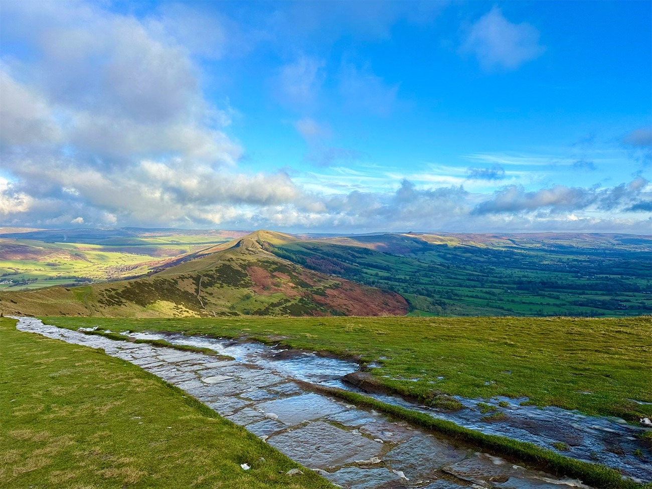
Region: Castleton, Peak District National Park, Derbyshire
Places To Stay: Castleton is a popular village with plenty of pubs, B&Bs and cottages. Try: Stay in Castleton or browse more Peak District Accommodation.
The Mam Tor Circular Walk is one of the Peak District’s classic ridge routes, combining the famous summit of the “Shivering Mountain” with an outstanding traverse of the Great Ridge above Castleton, Edale and the Hope Valley. At approximately 10 kilometres, it delivers some of the national park’s finest views without requiring a full day in the hills.
Beginning in Castleton, the route climbs past the show caves and the landslip-scarred slopes of Mam Tor before reaching the 517-metre summit. From the trig point, the walk follows the broad ridge eastwards through Hollins Cross, over the rocky prominence of Back Tor and onwards to Lose Hill.
The Great Ridge separates the limestone landscape of the Hope Valley from the darker gritstone moorland around Edale and Kinder Scout. This contrast creates a constantly changing panorama, with Castleton and its surrounding fields on one side and the open northern moors on the other.
Although the route follows well-established paths, it includes sustained climbing from Castleton, stone steps, rocky ground and an exposed ridge where wind can be strong. It is a good progression for walkers who have enjoyed lower-level routes such as the Dovedale circular walk, while those looking for a longer and more mountainous ridge experience may enjoy the Old Man of Coniston circular walk or Helvellyn via Striding Edge.
Mam Tor is extremely popular, particularly at weekends, during school holidays and around sunrise and sunset. Starting from Castleton creates a more complete walking experience than beginning at the higher Mam Nick car park and allows the route to include the village, surrounding caverns, farmland and the full sweep of the Great Ridge.
Below are a 3 ideas for trips and tours available in the Peak District, GetYourGuide offer great discounts and availability + Many more!
Looking for Cheap Flights? Try the Skyscanner Flight Checker Below.
This is how I find my ‘Flight Tickets‘, I fly when the price suits my budget. Flying to Heathrow is the best option for London.
Getting There: Directions, GPX and App Link
- Start point: Castleton Visitor Centre Car Park (postcode: S33 8WN)
- Google Maps: Castleton Visitor Centre Car Park
- GPX: Download the GPX file here for use on your GPS device or watch
- You can also view and follow this route on my Outdooractive and Komoot profiles
- Avoid the early start – find accommodation near Castleton
Hike Profile
- Distance: 6.5 miles / 10 km (circular)
- Duration: 3 – 4 hours
- Highest point: 517m / 1696ft (Mam Tor summit)
- Difficulty: Easy to moderate – steady climbs, stone slab paths, and some exposed sections
- Route conditions: Good paths with some rocky and uneven ground — boots recommended

Sim Local can reduce or even eliminate your roaming fees. Click www.simlocal.com/ + 10% Discount Using – ‘WELSHMAN’
Hike Description
The Mam Tor circular walk begins at Castleton Visitor Centre car park in the centre of the village. Castleton is a very traditional, beautiful Peak District village and is a perfect start and end to the walk as it has public toilets, cafés, pubs and shops. We got there early so had a coffee and enjoyed the quiet atmosphere first thing, and at the end we had some food before heading back, and it was quite a bit busier.
Leave the car park and follow the route westwards through Castleton. The village is quite unique as it sits beneath the ruins of Peveril Castle and all around you is the steep limestone hills and caverns which this part of the Peak District is famous for, and you’ll see described on almost every TV programme describing the area.
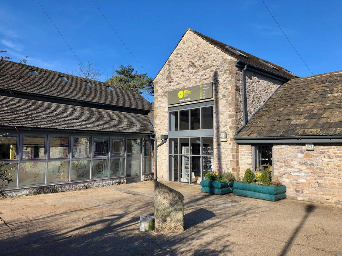
Follow the lanes and paths out of the village towards the slopes of Mam Tor. As you head out it’s quite likely you will pass close to Treak Cliff Cavern and Blue John Cavern, both great places to visit, and also very children friendly, and a great way to learn about the area and both being associated with the rare Blue John mineral found in this part of Derbyshire. We didn’t go in, but when I got home I looked into it, and to be honest, I wish I had now, as it looks very interesting.
The first part of the walk calmly climbs through fields and along stony paths, it’s really green, lots of farmland and woods and you’ll hear lots coming from nature, and as I always do, looking back you can see over Castleton, the Hope Valley and the limestone gorge of Winnats Pass.
You’ll pass through and over lots of gates and stiles as you carry on with your climb. This is because of the working farmland, and so dogs should be kept on a lead around the animals and please close the gates behind you.
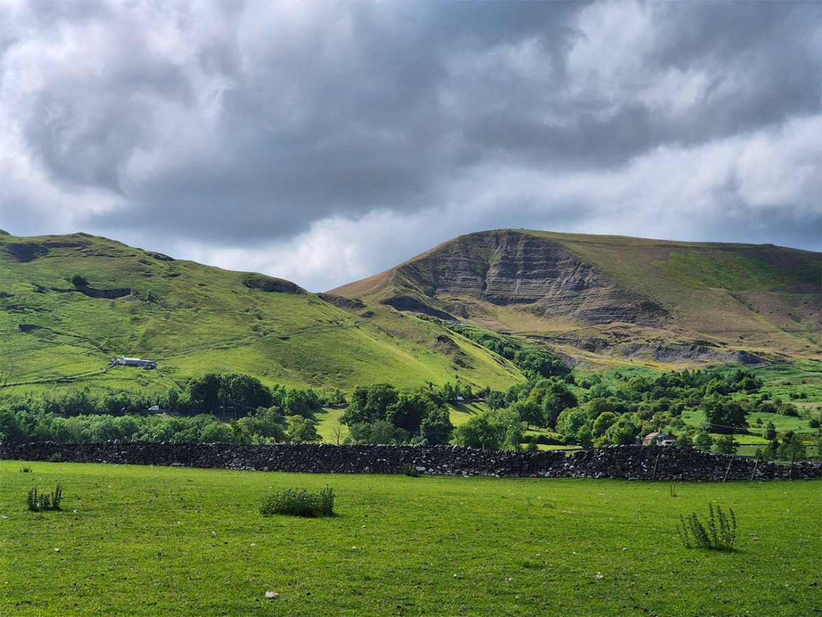
As you start to gain height, you will see the landscape around Mam Tor becoming increasingly more dramatic. I wasn’t aware of this so looked into it when I got home, but basically the mountain is formed from alternating layers of shale and sandstone, so why it looks so dramatic is because the weaker shale layers have meant repeated landslides, so you get the rugged unfinished look.
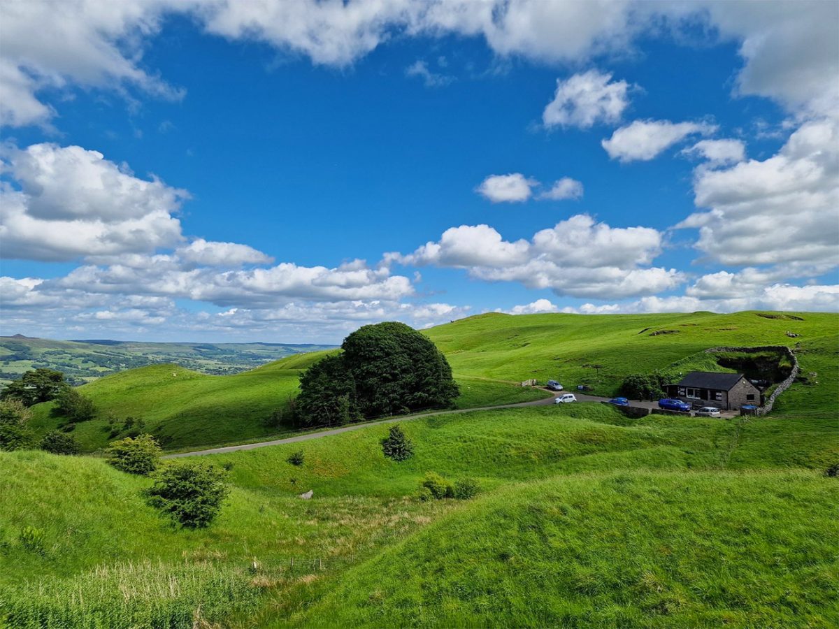
Still on the subject of land slides, the remains of the old A625 road provide pretty recent evidence of the mountain’s movement. Where repeated landslides damaged and distorted the road until the affected section was eventually abandoned. The broken tarmac now bends and steps across the hillside as the land continues to shift.
Remain on the recognised paths when exploring this area. The landslip slopes are unstable, and leaving the path contributes to erosion and may lead onto loose or hazardous ground.
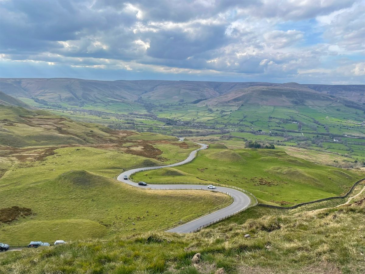
The route eventually reaches the higher slopes near Mam Nick. From here, join the stone-pitched path towards the summit of Mam Tor. The final ascent is relatively short but includes a series of stone steps. The path was constructed to protect the fragile hillside from the heavy erosion caused by the mountain’s popularity.
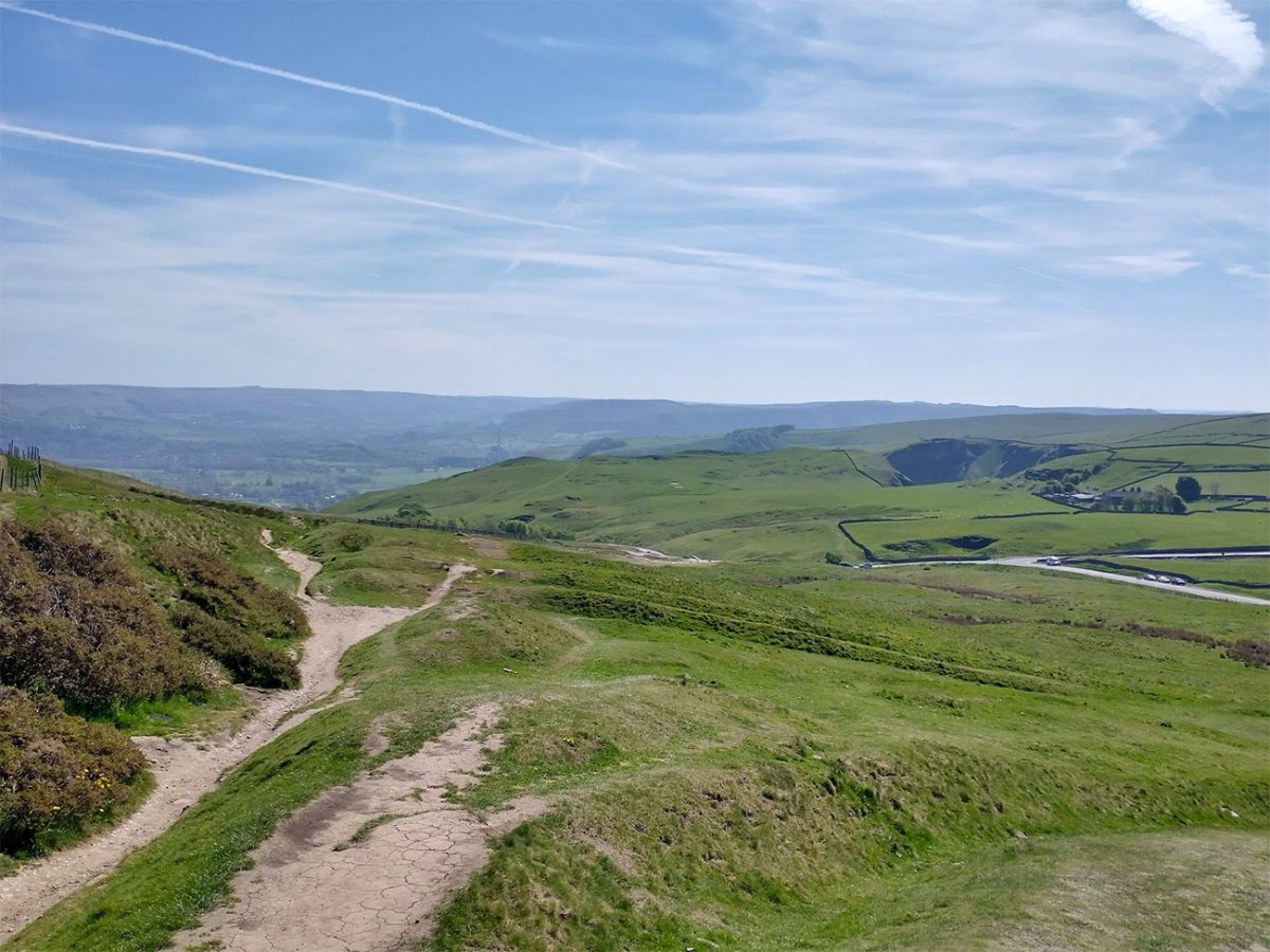
As you climb, the view opens northwards across the beautiful Edale Valley to Kinder Scout, another walk on my website that you should do, and the surrounding Dark Peak moors. To the south, the green fields of the Hope Valley surrounds Castleton.
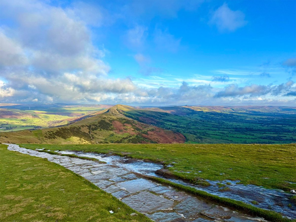
The summit of Mam Tor is one of the best-known viewpoints in the Peak District, and stands at 517 metres marked by a trig point and the remains of an ancient hillfort. I did some research when I got back and read that the summit area was occupied during the Bronze Age and Iron Age, much like what we have on our peaks in Wales, so that was great to read.
Up here on a clear day, you can map out Kinder Scout, Rushup Edge, Edale, Castleton, the Hope Valley and the long ridge stretching east towards Lose Hill, basically you can see for a very long way.
Mam Tor is also one of the busiest summits in the national park. So if you can, an early morning, weekdays and quieter periods outside school holidays will give you the best chance of enjoying the viewpoint without large crowds.
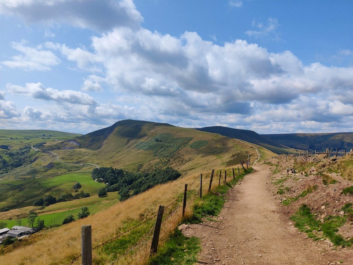
From the trig point, follow the obvious paved path eastwards along the Great Ridge. The ridge forms a natural dividing line between the Edale Valley to the north and Castleton and the Hope Valley to the south.
The path at its start descends steadily from Mam Tor, you have flagstones and stone pitching which protect much of the surface, although the slabs can become slippery in rain, frost or ice.
The first major landmark is Hollins Cross, the lowest point on the ridge between Mam Tor and Lose Hill. The name reflects the historic meeting of paths used by travellers crossing between Edale, Castleton and the surrounding settlements.
Continue straight ahead along the crest. The walking remains straightforward, but the ridge is exposed to wind from both sides and can feel considerably colder than Castleton below.
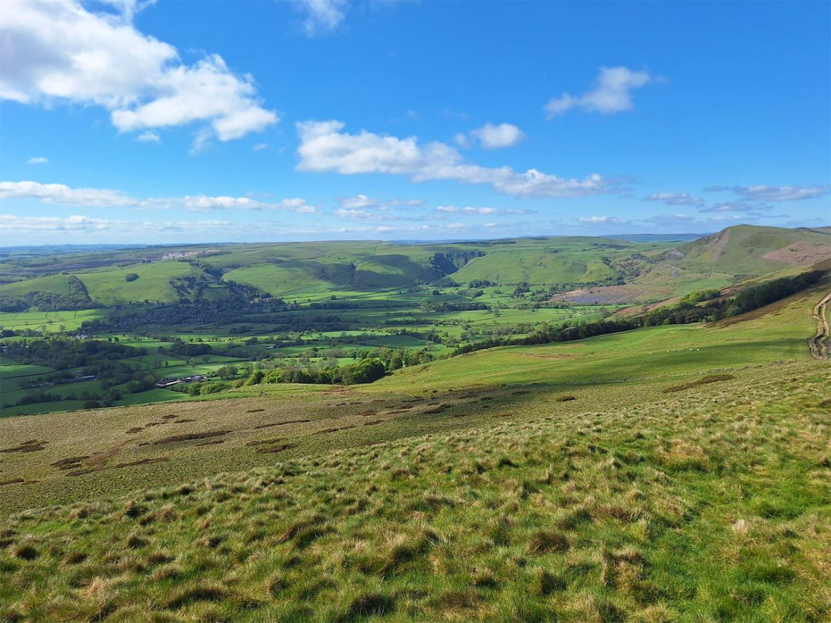
The route rises gradually before reaching Back Tor, keep following the path and steps towards the top, and you’ll see that its rocky summit is more abrupt than the rounded slopes of Mam Tor and introduces one of the steeper sections of the ridge.
From Back Tor, the path descends briefly before beginning the final ridge climb to Lose Hill. Looking back provides one of the route’s most recognisable views, with the Great Ridge sweeping west towards Mam Tor.
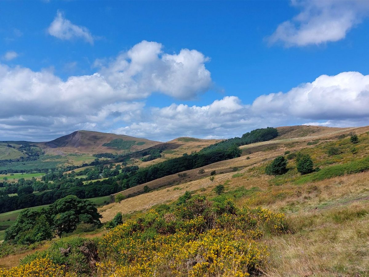
Lose Hill stands at approximately 476 metres and marks the eastern end of the main ridge. Its summit viewpoint is known as the Ward’s Piece and again you get huge views over the Hope Valley, Edale and the surrounding moors.
Despite being lower than Mam Tor, Lose Hill can feel equally impressive because of its position above the valley. Win Hill rises to the east, while Kinder Scout dominates the northern skyline.
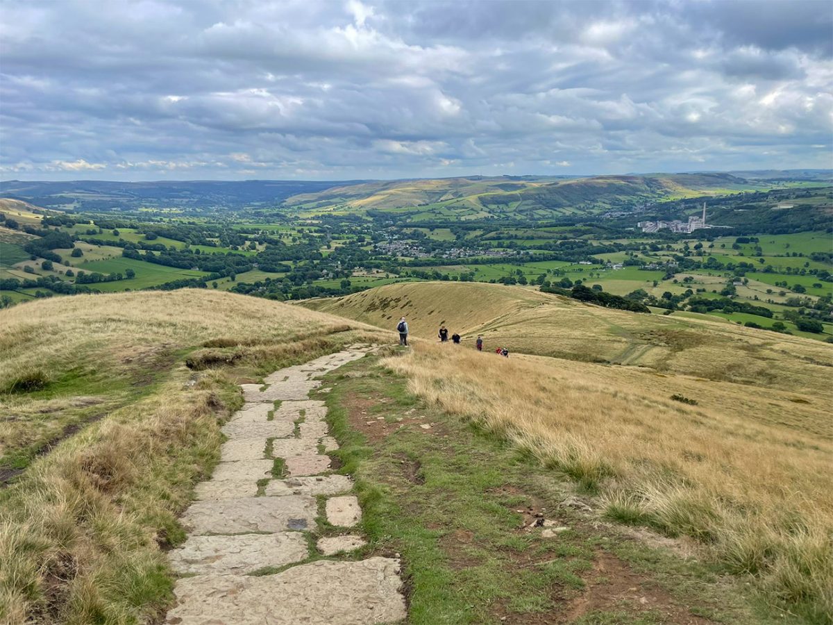
From the summit, leave the main ridge and begin descending southwards. The path initially follows a constructed stone surface before continuing through fields towards the lower farms.
The descent is fairly steep in places and can become slippery after rain. As the route loses height, the exposed ridge landscape gives way to enclosed fields, dry-stone walls and working farms. This quieter section brings you back home, or so it feels anyway, and you know you are not far away from that bit of cake you’ve been fancying since starting to head down.
Follow the GPX route carefully through the farmland. Several tracks, gates and public rights of way cross the lower slopes, and it is easier to take an incorrect turning here than on the main ridge.
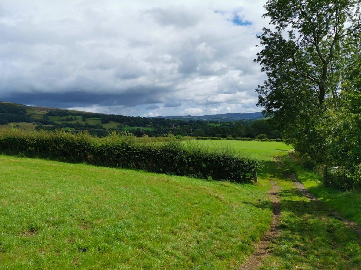
The route continues along tracks and country lanes towards Castleton, and as you approach the village, Peveril Castle becomes more prominent above the houses. The Norman castle stands on a limestone outcrop overlooking Castleton and is another of the area’s important historic landmarks.
Follow the lanes back into the centre of Castleton and return to the visitor centre car park. The full circuit is approximately 6.5 miles or 10 kilometres and most walkers should allow three to four hours. Additional time is worthwhile for photographs, summit stops or visiting one of the nearby caverns.
This is one of the Peak District’s most rewarding half-day walks. It combines geology, ancient history, traditional villages and one of England’s most celebrated ridge traverses within a route that is challenging enough to feel substantial but accessible to most regular walkers.

Walk this route yourself in 3D!
The Video is a 3D walk through of this route; it will give you a unique sense of having walked through the route before you start.
I have created 3D Videos of my adventures and have shared them with the OutdoorActive community as well as my walking community.
Mam Tor Circular Walk FAQs
Is this route signposted?
Can I bring dogs?
Is this walk good for beginners?
How do I get there by public transport?
Where can I eat?
Is it suitable for kids?
What’s the best time of year?
Any safety tips?
Is there mobile signal?
What kit should I bring?

Water-to-Go Named Best Watter Bottle for Travel. Click www.watertogo.eu + 20% Discount Using – ‘WMW20’

AllTrails: Trail Guides & Maps for Hiking, Camping, and Running | AllTrails ‘Plus’ 30% OFF – Read my ‘Full Review‘ for more details.