


Region: Dunstanburgh Castle, Craster & Embleton, Northumberland Coast AONB, North East England
Places To Stay: Stay in the characterful fishing village of Craster or nearby Alnwick. Try: Stay in Craster or browse Northumberland Coast Accommodation
The Dunstanburgh Castle Circular Walk follows one of the most atmospheric sections of the Northumberland coast, linking the traditional fishing village of Craster with a vast medieval ruin and the sweeping sands of Embleton Bay. Although the route is relatively short and mostly level, it delivers the scale and drama of a much longer coastal hike.
Dunstanburgh Castle dominates the walk from the moment its broken towers appear on the horizon. Built on a remote headland above the North Sea, the ruins create one of England’s most recognisable coastal scenes, particularly when viewed from the grassy approach north of Craster or across Embleton Bay.
Beyond the castle, the route continues along the coast before turning inland across open farmland and tracks to complete the circuit. Along the way, there are opportunities to see seabirds, explore the beach, photograph the castle from several angles and experience the windswept character of the Northumberland Coast.
The circuit finishes back in Craster, where cafés, seafood and the village’s famous smokehouse make it easy to turn a short walk into a relaxed half-day visit.
This is an excellent choice for beginners, families and anyone looking for a gentler walk between more demanding days. Those interested in exploring more of Northumberland’s history could combine it with the Hadrian’s Wall circular walk, while the Old Harry Rocks circular walk offers another superb combination of dramatic cliffs, sea views and iconic coastal landmarks elsewhere in England.
Below are a 3 ideas for trips and tours available in Northumberland, GetYourGuide offer great discounts and availability + Many more!
Looking for Cheap Flights? Try the Skyscanner Flight Checker Below.
This is how I find my ‘Flight Tickets‘, I fly when the price suits my budget. Flying to Heathrow is the best option for London.
Getting There: Directions, GPX and App Link
- Start Point: Craster Tourist Car Park (postcode: NE66 3TW)
- Google Maps: Craster Car Park
- GPX: Download the GPX file here for use on your GPS device or watch
- You can also view and follow this route on my Outdooractive and Komoot profiles
- Avoid the early start – find accommodation near Craster
Hike Profile
- Distance: 4.3 miles / 7 km (circular)
- Duration: 2 – 2.5 hours
- Highest point: 25m / 82ft (mostly flat)
- Difficulty: Easy – level paths with some grassy and sandy sections
- Route conditions: Well-trodden paths and beach walking – wear walking shoes or boots

Sim Local can reduce or even eliminate your roaming fees. Click www.simlocal.com/ + 10% Discount Using – ‘WELSHMAN’
Hike Description
The Dunstanburgh Castle circular walk begins at Craster Tourist Car Park, there is a link to Google Maps above to help you out. The car park is situated just outside the centre of the village, it is the main visitor car park and the most practical starting point for the route, as there is no public road or visitor parking beside the castle itself.
From the car park, follow the road downhill to the small harbour village of Craster. The stone cottages and fishing boats immediately give the village a distinctive coastal character, and you’ll find yourself hanging around here for a while, taking in the ocean, and Craster is well known for its traditional smokehouse and kippers, so sometimes you can pick up the smell of wood smoke as you walk towards the harbour.

Continue through the village and you’ll have no problem finding signs for Dunstanburgh Castle and the Northumberland Coast Path. Once you’re started the route soon leaves the houses behind and passes through a gate onto open farmland beside the sea.
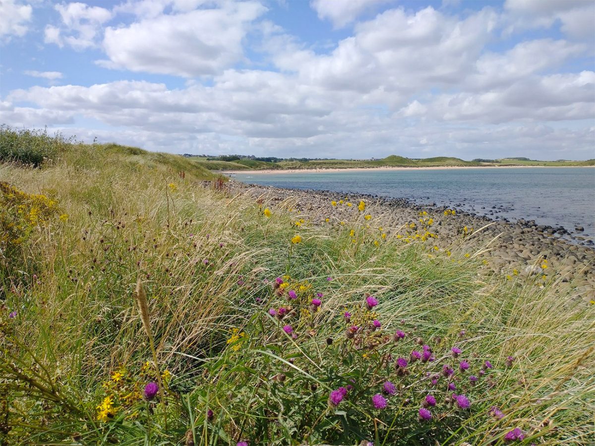
As you walk along the coast, the North Sea is on your right, and your guided along by the tall grass and the straightforward path all the way to the castle. There are a couple of gentle dips, but its very manageable, especially when it’s dry, but I would imagine the surface can become quite muddy after lots of rain.
If you’re lucky you’ll see livestock grazing in the fields between Craster and the castle, so dogs should be kept under close control and placed on a lead whenever the animals are nearby. Ideally as always the gates should be closed after passing through them, and they ask that all walkers stay on the recognised route. This helps with conservation and safety also.
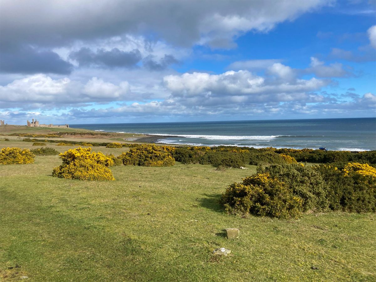
Before long, you’ll see the towers of Dunstanburgh Castle start to appear in the distance. The castle gradually grows larger as you make your way around rocky shoreline, and this honestly creates one of the most incredible approaches to any historic site I have ever seen, it’s magical, and you can only imagine what visitors to the area would have thought back when it was used as a castle.
The route passes the remains of Craster’s coastal landscape, and you’ll see dark rock shelves, small bays and exposed sections of shoreline below. We walked it in the summer but from what I heard the waves can be really powerful during rough weather, and because of how open it is, that wind can be stronger than expected even when conditions feel calm in the village.
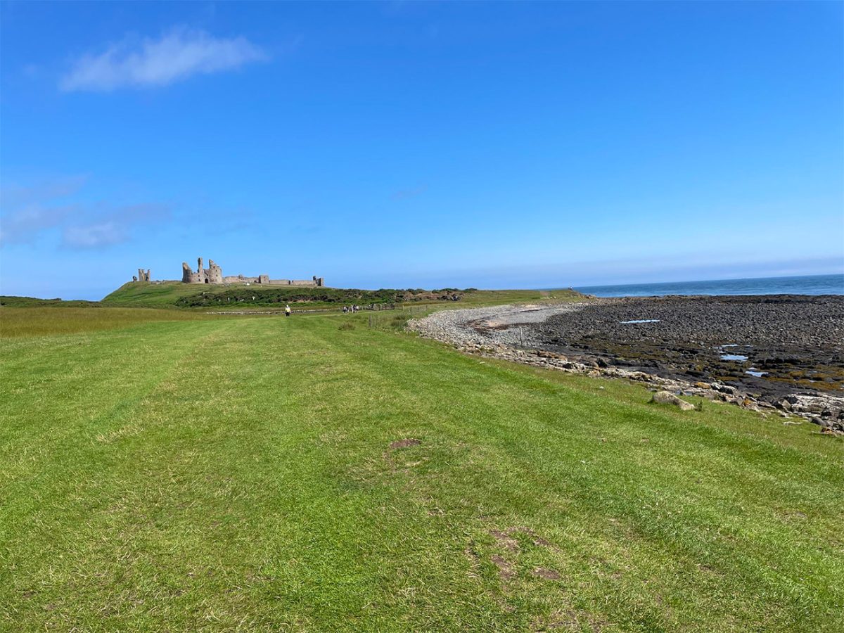
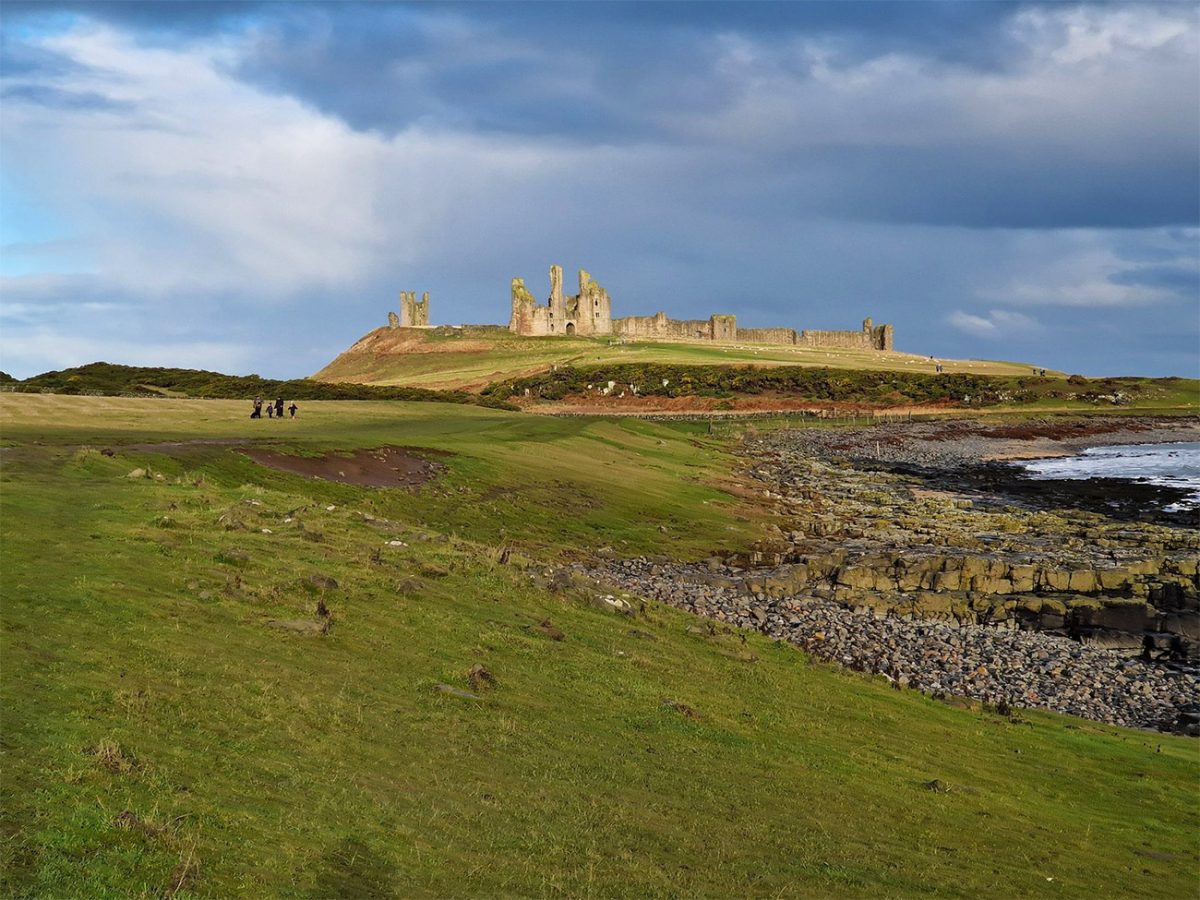
Dunstanburgh Castle occupies a dramatic headland formed partly by the Great Whin Sill, the same hard band of dolerite associated with several major landmarks across northern England. The natural cliffs strengthened the castle’s defensive position, particularly on the northern and eastern sides.
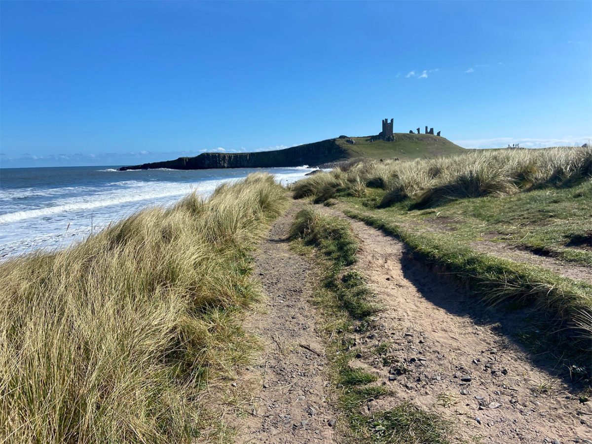
Construction of the castle began in 1313 under Thomas, Earl of Lancaster, one of the wealthiest and most powerful noblemen in medieval England. The enormous scale of the gatehouse and surrounding walls was intended not only for defence but also as a statement of status and opposition to King Edward II.
The castle was later strengthened and altered, including during the period when it was held by John of Gaunt. It also played a role during the Wars of the Roses, but gradually declined and became the exposed ruin seen today.
Entering the castle is optional and requires a separate admission ticket during staffed opening periods. English Heritage members receive free entry, and because the property is owned by the National Trust and managed by English Heritage, National Trust members also receive free admission. Opening days and times vary during the year, so check the official visitor information before travelling.
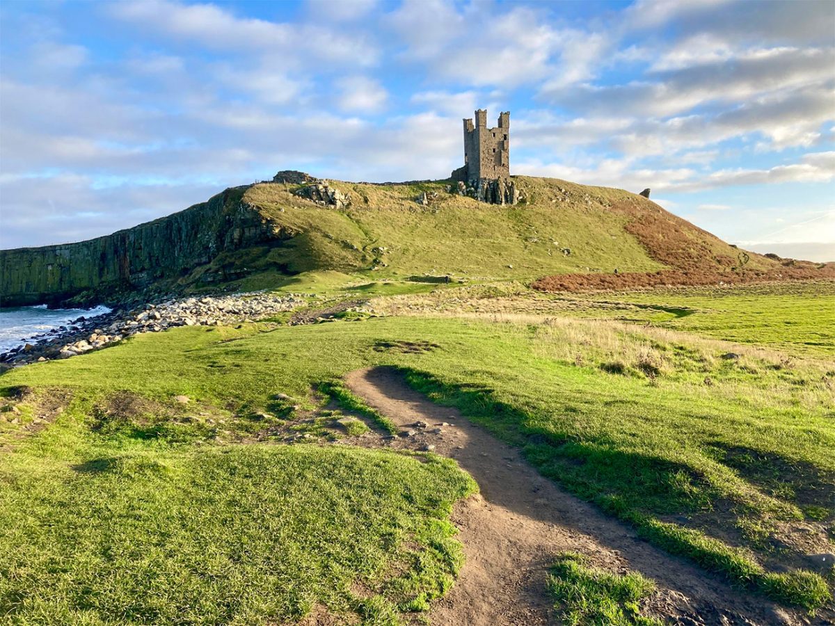
This walk doesn’t take into consideration going into the castle, so obviously allow extra time for that, but the circuit itself may take around two to two and a half hours, but a castle visit, photography and a stop on the beach can easily extend the outing to half a day.
Inside the walls, visitors can explore the extensive grass-covered enclosure, ruined towers and the remains of the great gatehouse. You can stand high in the castle, and on those elevated sections get huge views across the coast, although there are steep drops, uneven ground and steps around parts of the site.
After visiting or passing the castle, continue northwards along the coastal route, again following the main path and you’ll start to see increasingly wide views towards Embleton Bay. As I walked along I thought to myself I’ll mention to take care beside the cliffs immediately after the castle. The drops towards the sea are serious, and strong winds can make exposed edges hazardous. Keep children and dogs well back, especially during poor weather.
As the path rounds the headland, the broad curve of Embleton Bay opens up ahead, and the pale sand, dunes and all the surrounding countryside create a beautiful contrast with the dark castle ruins behind you, again you can only imagine what it must have been like living around here, with all the people, the cattle and the smoke.
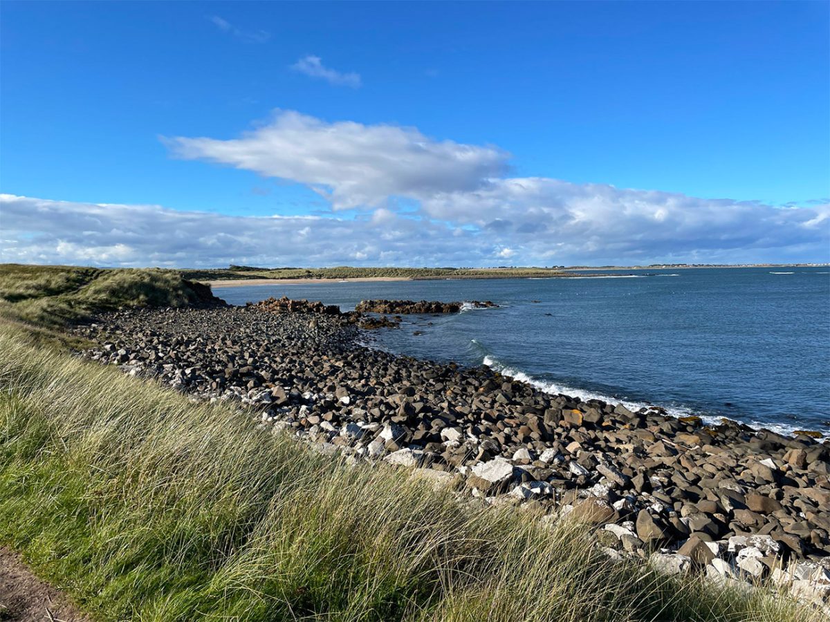
Depending on the tidal conditions, you can follow part of the beach or remain on the paths beside the dunes and golf course. Walking on firm sand is nice, but sections of beach may become restricted at different stages of the tide.
The local advice from National Trust is to check tide times before setting out if you plan to use the beach, and to never pass beneath cliffs or around rocky sections if rising water could cut off the route. The higher coastal path provides the safer option when conditions are uncertain.
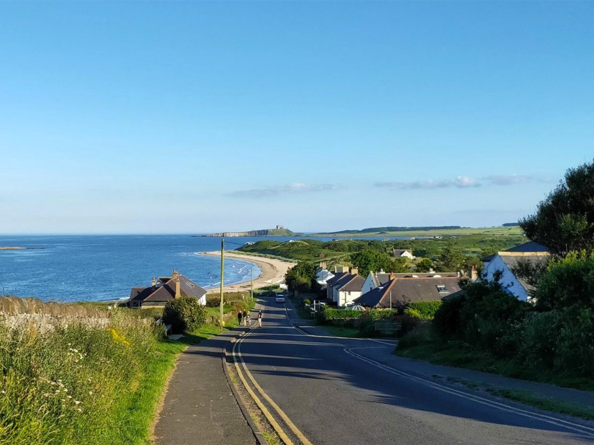
Embleton Bay is one of the finest viewpoints for looking back towards Dunstanburgh Castle. From the northern side, the castle appears to rise directly above the beach and rocky shoreline, and it is without doubt an excellent location for photography. A professional will obviously do a lot better job than my pictures, but going there and experiencing it is what it’s all about really.
The bay and neighbouring coast also support a variety of birdlife. Depending on the season you will hopefully get to see oystercatchers, eider ducks, gulls, terns and wading birds feeding along the shore.
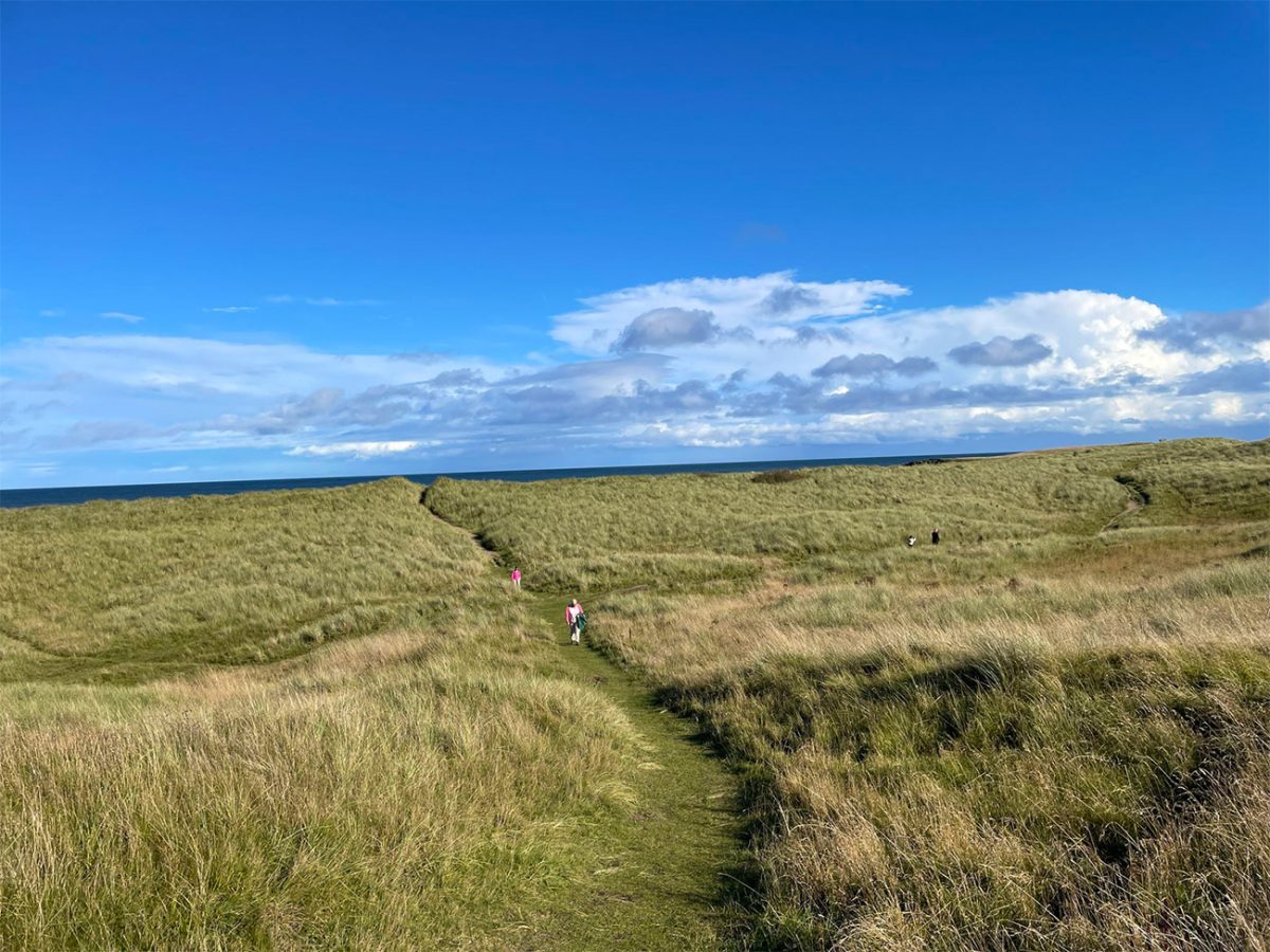
After enjoying the coastal section, leave the beach or dune path and begin the inland part of the circuit. Follow the GPX route carefully here, as several paths and tracks cross the fields between Embleton Bay, Dunstan Steads and Craster.
The return route passes through a working agricultural landscape. Expect grassy field paths, farm tracks, gates and potentially muddy ground. Crops and livestock may be present, so stay on the public right of way and follow the Countryside Code.
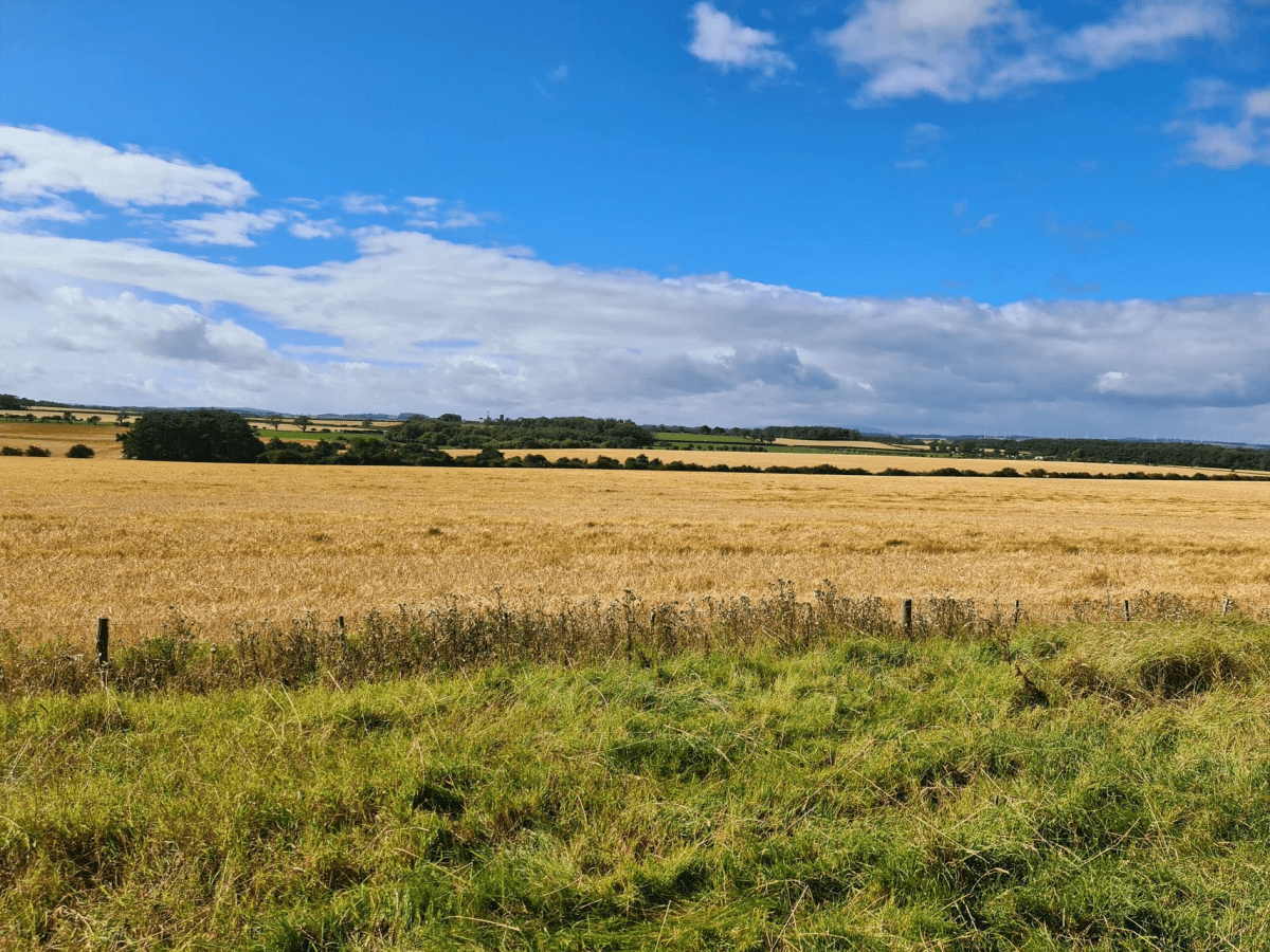
Although the inland section lacks the uninterrupted sea views of the outward walk, it gives the route greater variety and a different perspective on the castle. The ruined towers may remain visible behind you across the fields before gradually disappearing from view.
Continue following the farm tracks and field boundaries southwards towards Craster. The terrain remains mostly level, although uneven ground and mud can slow progress after wet weather.
As you approach the village, the harbour buildings and stone cottages return into view. Follow the lanes back towards the centre of Craster and then continue uphill to the visitor car park.
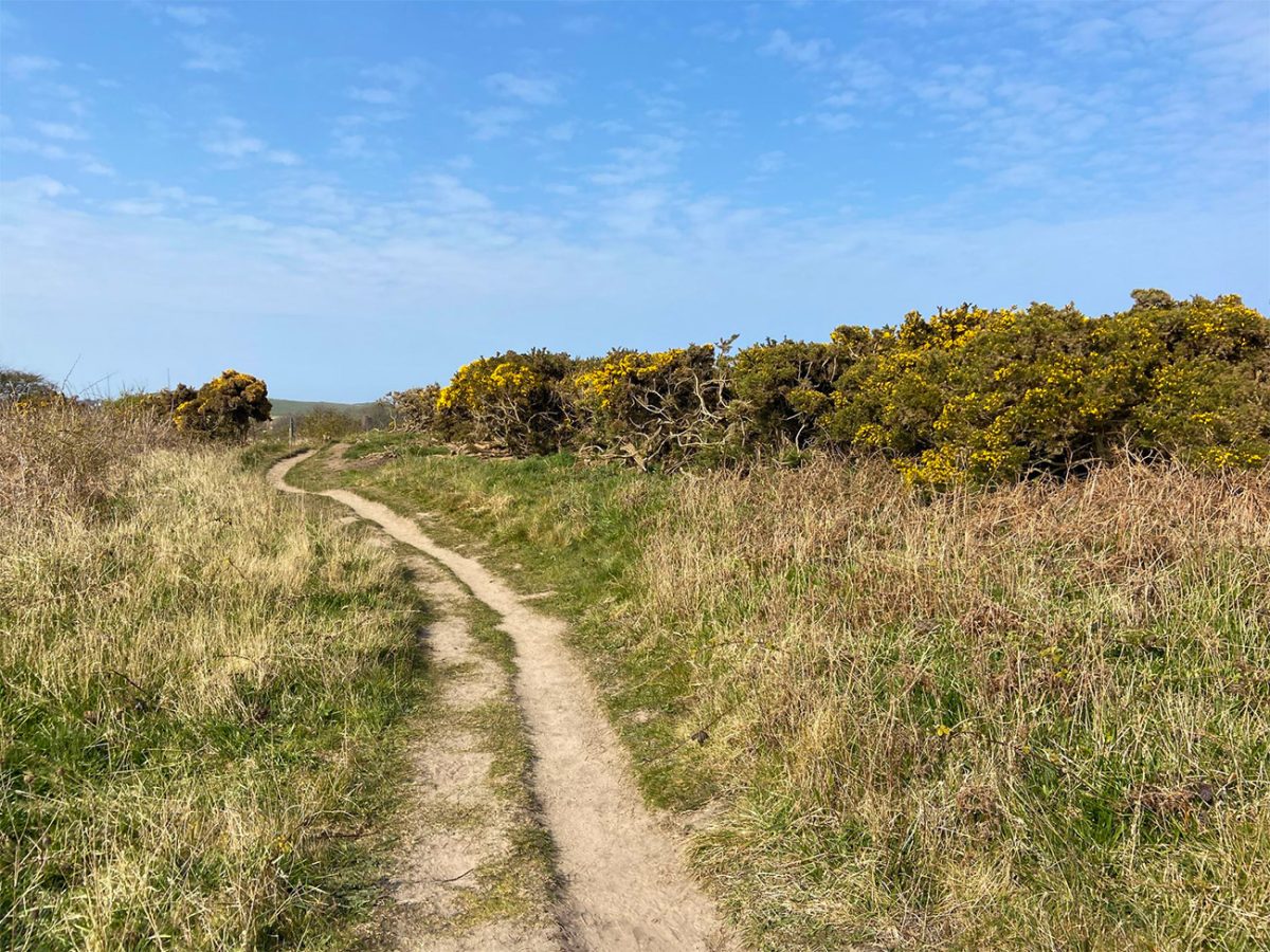
Craster has several places to stop after the walk. The Jolly Fisherman is particularly well known for seafood and views across the harbour, while the village smokehouse sells its famous kippers and other local produce. Opening hours and table availability can vary, so booking may be sensible during busy periods.
At approximately 4.3 miles or seven kilometres, this is not a physically demanding route for most regular walkers. However, the coastal exposure, uneven surfaces, livestock and occasional beach walking mean it should not be described as completely obstacle-free or suitable for every level of mobility.
Carry a waterproof jacket and an extra layer even during summer. The Northumberland coast is exposed, and changes in wind, rain and temperature can make conditions feel much colder than they did in Craster.
This is one of the most rewarding short coastal circuits in northern England. It combines a traditional fishing village, open farmland, a wild beach, wildlife and one of the country’s most dramatic medieval ruins, all within a route that can be comfortably enjoyed in a morning or afternoon.

Walk this route yourself in 3D!
The Video is a 3D walk through of this route; it will give you a unique sense of having walked through the route before you start.
I have created 3D Videos of my adventures and have shared them with the OutdoorActive community as well as my walking community.
Dunstanburgh Castle Circular Walk, Northumberland – 3D Video
Dunstanburgh Castle Walk FAQs
Is the Dunstanburgh Castle circular walk signposted?
Can I take my dog on the walk?
Is the walk suitable for beginners?
How do I reach Craster by public transport?
Where can I eat and drink in Craster?
Is the Dunstanburgh Castle walk suitable for children?
What is the best time of year to walk to Dunstanburgh Castle?
What are the main safety considerations?
Is there mobile phone signal on the route?
What equipment should I bring?

Water-to-Go Named Best Watter Bottle for Travel. Click www.watertogo.eu + 20% Discount Using – ‘WMW20’

AllTrails: Trail Guides & Maps for Hiking, Camping, and Running | AllTrails ‘Plus’ 30% OFF – Read my ‘Full Review‘ for more details.