


Region: Central Bannau Brycheiniog, Bannau Brycheiniog National Park, South Wales
Walk summary: This 4.9-mile anti-clockwise circular starts at Pont ar Daf, climbs the main path to Pen y Fan, crosses to Corn Du and takes the rougher descent towards Storey Arms before returning on the Taff Trail. It has 1,781ft of ascent and takes approximately three hours.
| Distance | 4.9 miles / 7.9km |
|---|---|
| Ascent | 1,781ft / 543m |
| Time | Approximately 3 hours |
| Difficulty | Moderate — sustained climbing, exposed summits and a rougher undulating descent |
| Route | Anti-clockwise circular walk |
| Start and finish | Pont ar Daf Car Park, LD3 8NL |
| Main summits | Pen y Fan, 886m; Corn Du, 873m |
| Suitable for | Beginners with suitable fitness, families, active children and capable dogs |
The Pen y Fan and Corn Du circular walk from Pont ar Daf is a compact route over the two highest summits in southern Britain. It follows the popular main ascent to Pen y Fan but avoids simply retracing every step by crossing Corn Du and descending towards Storey Arms.
This is one of the more approachable high-mountain routes in Wales, and beginners, children and dogs can complete it in suitable conditions. It remains a mountain walk: the summits are exposed, weather changes quickly and the descent from Corn Du is rougher and more demanding than the main Pont ar Daf path.
For a substantially longer challenge linking four summits, see my Brecon Beacons Horseshoe Ridge walk. This page remains specifically focused on the shorter Pont ar Daf–Pen y Fan–Corn Du circuit.
Pont ar Daf parking, postcode, map and GPX
- Car park: Pont ar Daf Car Park, beside the A470
- Postcode: LD3 8NL
- GPX: Download the Pen y Fan and Corn Du circular GPX
- Route apps: View the route on Outdooractive or Komoot
- Facilities: Toilets, visitor information and Wi-Fi are available at Pont ar Daf. A burger van or ice-cream van may also be present, but should not be relied upon.
Pont ar Daf is the most popular starting point for Pen y Fan and can fill early during weekends, school holidays and fine weather. Park only in authorised spaces and never leave part of the vehicle obstructing the A470. Bring food and water even when a catering van is present.
Pen y Fan and Corn Du circular route description
Leave the rear of Pont ar Daf Car Park, pass through the gate and cross the footbridge over the River Tarell. The wooded valley and water provide a gentle introduction before the path reaches the open mountainside.
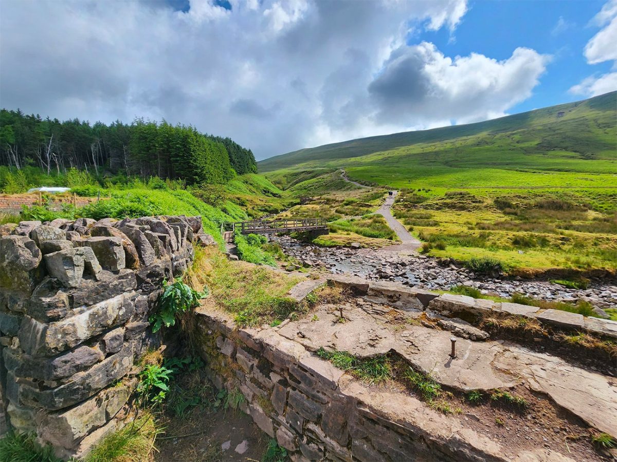
The main Pont ar Daf path
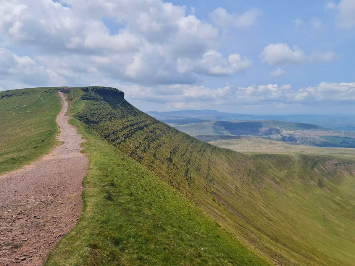
Follow the broad stone and gravel path uphill. The climb is sustained from the beginning, but the gradient is consistent and the route is straightforward in clear conditions. Extensive stone pitching and drainage work protect the mountain from erosion, although wet, frosty or icy stones can become slippery.
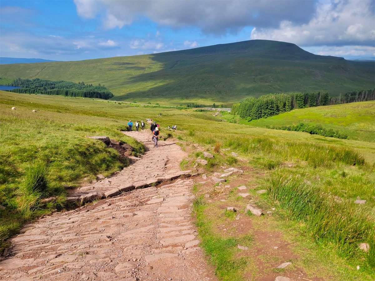
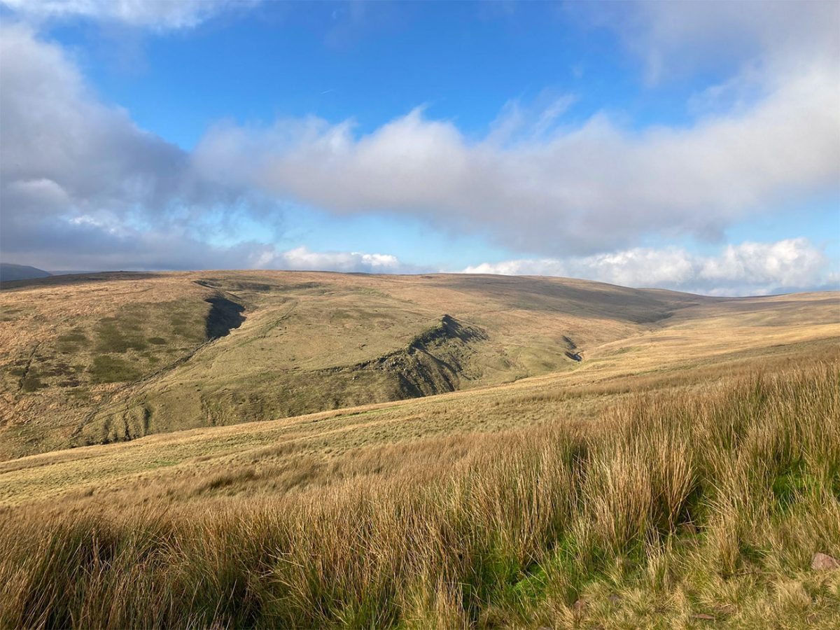
The path continues onto open moorland towards Bwlch Duwynt, commonly translated as the “Windy Pass”. Wind can be considerably stronger here than at the car park, so carry warm layers even when the day begins calmly. Sheep are sometimes present; keep dogs under close control, particularly on the busy path.
Climbing Pen y Fan first
At the upper junction, continue ahead towards Pen y Fan rather than turning left onto Corn Du. This anti-clockwise circuit visits Pen y Fan first and returns over Corn Du. The path keeps Corn Du above you on the left before reaching the saddle between the two mountains.
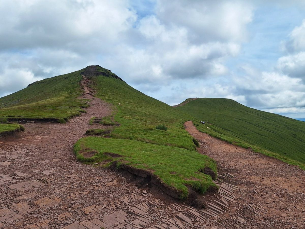
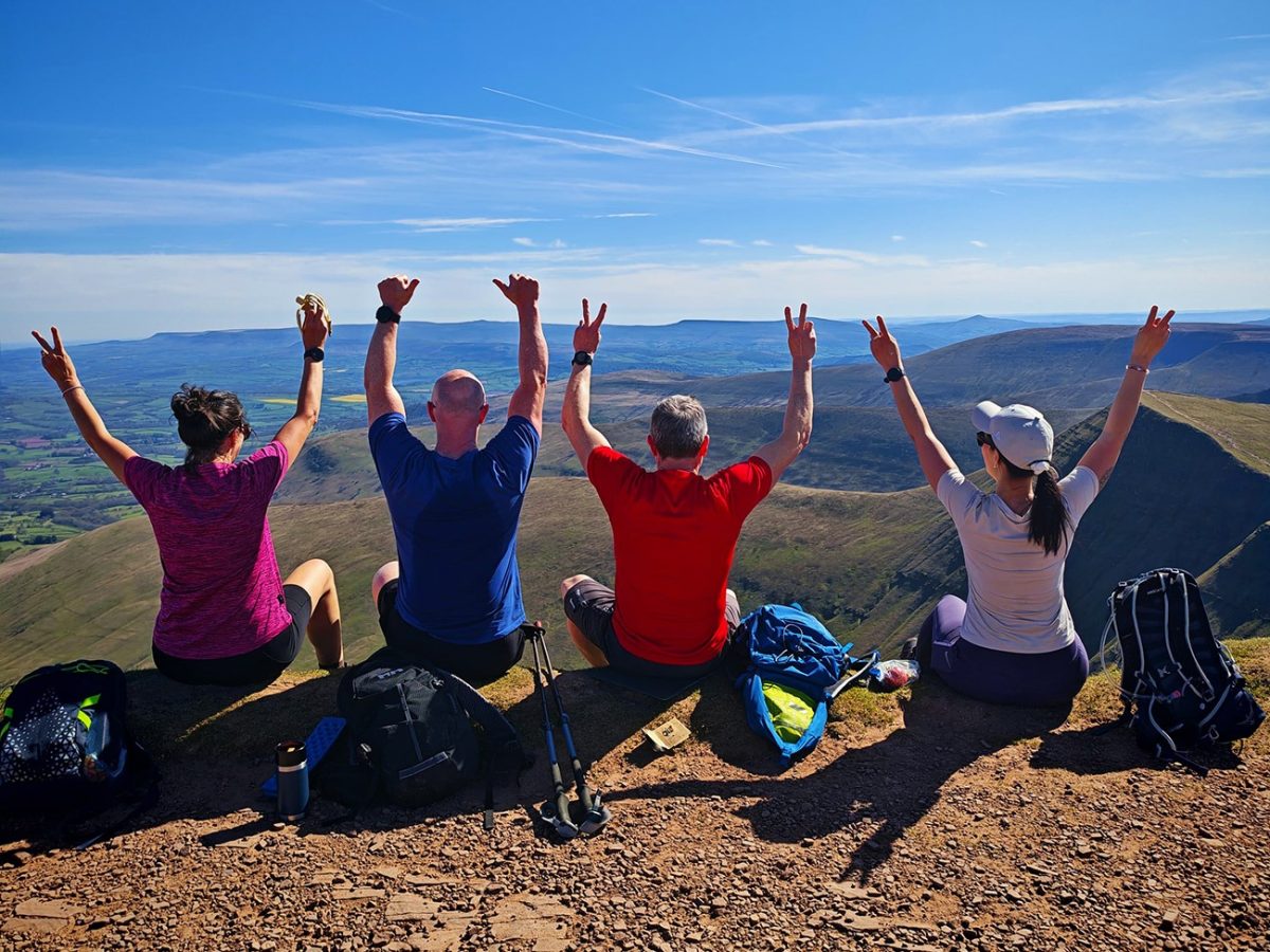
The final climb follows stone-pitched steps to the summit. Pen y Fan reaches 886 metres and is the highest mountain in southern Britain. Its raised cairn and Bronze Age burial monument make the summit immediately recognisable.
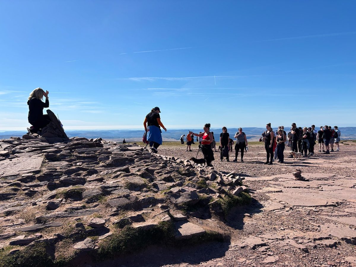
Expect the summit to be busy. The northern and eastern sides contain serious cliffs above Cwm Sere and Cwm Llwch, so remain well back from the edge—especially in mist, strong wind, snow or ice. Put on an extra layer before stopping long enough to become cold.
Crossing from Pen y Fan to Corn Du
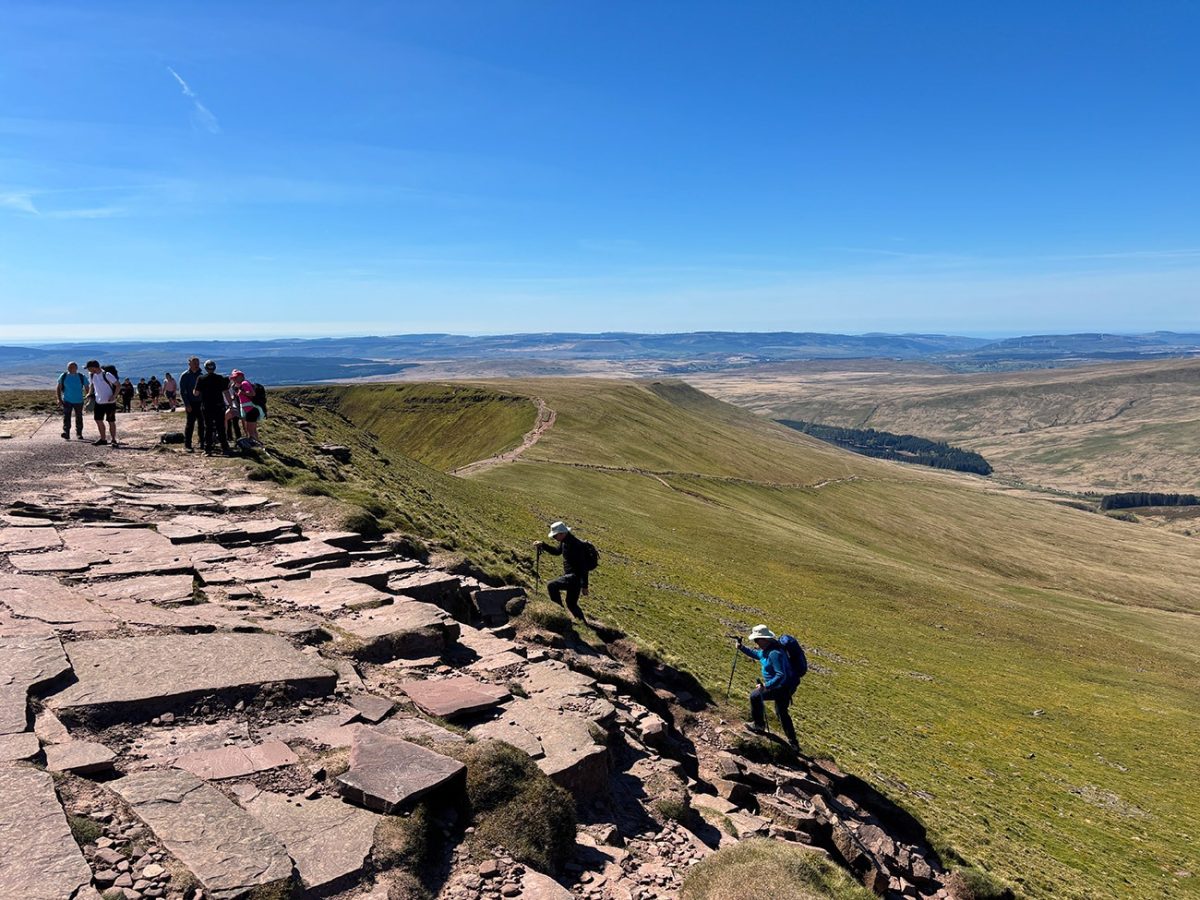
Retrace the short ridge section from Pen y Fan and climb to Corn Du. The connecting path is obvious in clear weather but can become confusing when cloud removes the surrounding landmarks. Download the GPX route before leaving and carry a map and compass.

Corn Du reaches 873 metres and is the second-highest summit in southern Britain. It has a more pronounced cliff edge than Pen y Fan and excellent views towards Llyn Cwm Llwch. My separate Cwm Llwch Horseshoe walk visits the lake from a different starting point.
Descending towards Storey Arms
Leave Corn Du on the descending path towards the west and south-west. Unlike a simple return down the main tourist path, this descent undulates and includes additional rises and falls. It is rougher, slightly more demanding and quieter than the outward route.
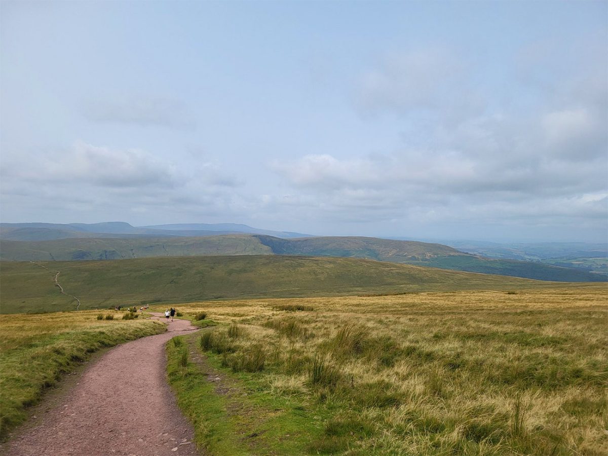
Follow the GPX as the circular separates from the main Pont ar Daf path. Uneven steps, loose rock and wet stones require care. Continue towards the Storey Arms area; despite the name, the building is not a public inn.
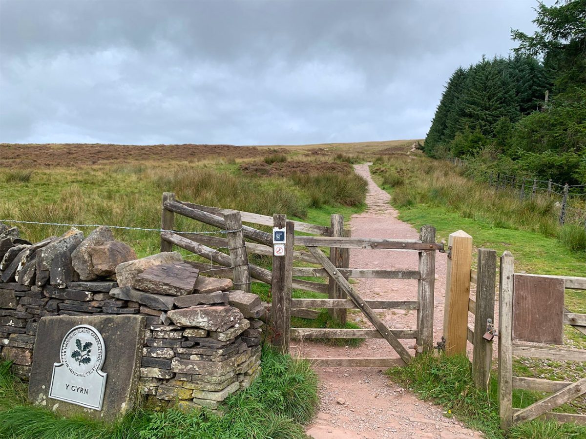
Returning to Pont ar Daf on the Taff Trail
On reaching the lower ground near Storey Arms, join the Taff Trail and follow it south towards Pont ar Daf. The trail runs approximately parallel with the A470 and avoids walking directly along the carriageway. Take care around the access points because traffic can be fast.

This final section completes a genuine circular rather than an out-and-back. It also separates this guide from the longer Horseshoe Ridge: this walk is designed for visitors wanting the direct Pont ar Daf route to Pen y Fan and Corn Du in approximately three hours.
Pen y Fan from Pont ar Daf practicalities
- Parking: Pont ar Daf Car Park, LD3 8NL. It can fill early during fine weather, weekends and holidays.
- Difficulty: Moderate. The main ascent is well built, while the Corn Du descent is rougher, undulating and slightly more demanding.
- Underfoot: Stone pitching, gravel, rough mountain path and the surfaced Taff Trail. Wear footwear with dependable grip.
- Weather: Both summits are exposed. Strong wind, low cloud, heavy rain, snow and ice can make the walk substantially more serious.
- Beginners: Suitable for fit beginners in settled conditions, provided they carry suitable clothing and navigation.
- Children: Suitable for active children capable of the ascent, with close supervision near steep summit edges.
- Dogs: Suitable for capable dogs. Sheep are sometimes present, so use a lead around livestock and on busy sections.
- Facilities: Pont ar Daf has toilets, visitor information and Wi-Fi. Catering vans are sometimes present but not guaranteed.

Preview the route in 3D
Watch the route before setting out to understand the main Pont ar Daf ascent, both summits and the Storey Arms return.
Pen y Fan and Corn Du walk FAQs
How long is the Pen y Fan walk from Pont ar Daf?
This anti-clockwise circular is 4.9 miles (7.9km) with approximately 1,781ft (543m) of ascent.
How long does Pen y Fan from Pont ar Daf take?
Allow approximately three hours to complete the circular over Pen y Fan and Corn Du via Storey Arms.
What is the postcode for Pont ar Daf Car Park?
The postcode is LD3 8NL. Use the linked Google Maps location as the postcode covers a rural area.
Does Pont ar Daf Car Park have toilets?
Yes. Pont ar Daf has toilets, visitor information and Wi-Fi. Burger and ice-cream vans are sometimes present but are not guaranteed.
Is this Pen y Fan route suitable for beginners?
Yes, fit beginners can complete it in settled conditions. Carry waterproofs, warm layers and navigation, and avoid severe mountain weather.
Can children complete this Pen y Fan circular?
Yes, active children capable of the distance and climb can complete it. Closely supervise them near summit edges and carry additional warm clothing.
Can dogs complete the Pen y Fan and Corn Du walk?
Yes, capable dogs can complete it. Sheep are sometimes present, so keep dogs under close control and use a lead around livestock.
Is the route continuously signposted?
The main Pont ar Daf path is broad and established, but the full circular via Corn Du and Storey Arms is not continuously waymarked. Download the GPX and carry a map and compass.
Is the descent from Corn Du difficult?
It is rougher and slightly more demanding than the main ascent. The path includes extra rises and falls rather than being a continuous easy descent.
What equipment should I carry?
Wear supportive footwear and carry waterproofs, warm layers, food, water, a charged phone, offline navigation, a head torch, map and compass.