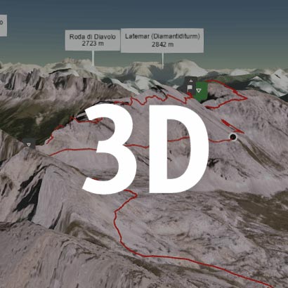
Walk this route yourself in 3D!
The Video is a 3D walk through of this route, it will give you a unique sense of having walked through the route before you start.
I have created 3D Videos of my adventures and have shared them with the OutdoorActive community as well as my walking community.
The Beat The Beacons (BEAT) event first took place in September 2019 and replaced the Talybont Trial which had been running on an annual basis since 1978, Beat The Beacons 2023 event was held on Saturday 30th September, in pretty decent weather.
The challenge walk which starts and finishes at the Henderson Hall in Talybont-on-Usk takes place in the beautiful area of the Brecon Beacons.
There are 3 routes available, 22 miles, 15 miles, and 10 miles.
The 22-mile Endurance route visits the highest points in the Brecon Beacons. The 15-mile Adventure route follows a similar path to the 22-mile route, but avoids the highest points.
The 10-mile Taster route is a walk on lower elevation footpaths, designed for lesser experienced walkers, families, and children.
BEAT THE BEACONS (THE ROUTES)
B……Brecon Beacons
E……Endurance Route 22 miles
A….. Adventure Route 15 miles
T……Taster Route 10 miles
Getting There: Directions, GPX and App Link
The Hiking app I use to plan the walks and to also guide me around is the ‘Outdooractive App‘, which has a free a Pro and a Pro+ version, the Pro versions will allow you to download the routes to your phone, and use them without using up your data.
The reason I mention it is that if you were to download a route, they are FREE and you can find this link to this route in my hike listings. You can then follow the arrows and voice on your mobile, as most of these walks are a bit tricky to explain.
- The challenge walk starts and finishes at the Henderson Hall in Talybont-on-Usk – Henderson Hall, Talybont-on-Usk, Brecon LD3 7YQ, it is tucked away just off the main road, but on the day, the event organisers make space for cars to park on different sites around the village.
Navigation Aids:
Hike Map
Hike Profile
- Distance: 22m / 35km
- Duration: 8-10 hours
- Ascent: 4009ft / 1221m
- Difficulty: Very Difficult (very steep climbs), long distances, and muddy paths.
- Route conditions: Well-worn pathways most of the way around, good walking shoes are a must.
Hike Description & Pics
This challenge always starts in the same place, Henderson Hall, Talybont-on-Usk, Brecon LD3 7YQ, it is at the one end of the village, and the event puts on extra parking at the other end of the village at the cattle market, its well sign posted.
The idea of this challenge is to find the quickest route between the checkpoints, that’s really though if you are timing yourself, or are looking to win it. If you’re not, then it’s a fantastic opportunity to take in the full route with all the peaks, and take in all the fantastic views if you have them, and really make a day of it, but don’t take too long, as otherwise the checkpoint guys will put you on the bus home :).
It is a really long day, and will be impossible really to put all the info in this post, so I will stick to the main interest points, which in our case was the checkpoints, but if you have a go at this, your route maybe different, this is the way we did it on Saturday.
So back to the event, we started at the hall and that’s your first checkpoint. We had a free tea or coffee, couple of biscuits after checking in and getting the wrist dabber, had a browse at the stall there, and then at 7.30, it was time to gather at the start point for the off!
You leave the hall, cross the road and start your journey by crossing the ‘Talybont Lifting Bridge’, that allows you to walk over the Monmouthshire & Brecon Canal, a beautiful start to the walk.
A lane will then guide you as you head towards the mountains o your right, and then at some point you take a right and start heading up to ‘Twyn Du’ at 533m. It’s a decent climb, and gets everything warmed up, and it’s at this point where the front walkers start to peel away from the ramblers.
From ‘Twyn Du’ there is another climb up to ‘Carn Pica’ at 756m, and then on again to ‘Waun Rydd’ at 769m, it’s then a little dip and shortly after you are at the 2nd checkpoint at ‘Bwlch y Ddwyallt’, which is about 4.5 miles into the walk.
Onwards towards the next checkpoint you walk a ridgeline heading towards ‘Craig Cwareli’ at 730m, so you have come down slightly, but we had thick mist so you couldn’t see much anyway, and it was hard to get a bearing, but we knew we were walking towards ‘Fan y Big’ at 719m, which we have been to many times. The checkpoint was not at the point, but it was nice to see the guys and check in at number 3 at around 6.7 miles.
The next bit is where you benefit from looking at the map, or knowing the area, and also considering where the next checkpoint is, remember the challenge is the quickest with having gone to every checkpoint.
When you come down from ‘Fan y Big’, you then have Cribyn in front of you, and it is a tough climb to the top, but there wasn’t a checkpoint there, so you could take the much easier route around to the left, and then head up to Pen Y Fan, where the next checkpoint is. That saved a lot of energy, and time, if you do this you start to climb up the scoreboard.
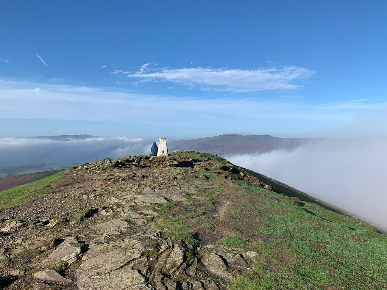
The ascent up to Pen Y Fan means you walk up ‘Jacobs Ladder’, and it is tough going, especially after the walk you have done so far, we took our time, literally plodding up there, trying to preserve our legs and some energy for the rest of the day. But once at the top, you then have the 4th checkpoint and the distance so far is around 8.5 miles.
Pen Y fan is pretty much the furthest point, so you then start to make your way back to Talybont on Usk, and you do this by following the ridge line back. There is 1 more peak before you get to that ridge, and it’s called Corn Du, but again, there no checkpoint there, so no need to do it if you’re watching the clock.
The next checkpoint is near the point where you make your way down from the ridge, and this is around 2 miles from Pen Y Fan, it’s a long walk and very rocky, which makes it more difficult than it seems.
Once down from the ridge you are now around 12.5 miles into the walk, and you are back on the road for a short while as you make your way around to the next checkpoint sat below ‘Tor y Foel’ which stands at 552m. This is a long walk but generally mostly flat which is a nice change and at this next checkpoint, you can either take the high road or the low road we took the low road through the forest to once again save time and energy.
This checkpoint is around 14.5 miles in, so you are now really starting to make up ground, and think of the finish line, but still a pretty long way to go yet.
We followed the ‘Taff Trail’ on the lower ground through the woods, it’s a great track and you almost walk to the start of ‘Talybont Reservoir’, but you take a right path upwards and through the woods heading towards ‘Bryn Melyn’ at 450m. Once at the top follow the path left, and you will see ‘Tor y Foel’ in front of you, and that is your last mountain, and is around 19.5 miles into your walk.
After a long day that last climb is an energy sapper, and at the top is the last checkpoint before you finish off back at the hall.
It’s then all downhill from here, a very steep walk down, you then join a lane at the bottom of the hill, and that is a 2 mile or so walk back to the hall to the end!
That’s it, you’re all done, back at the car and hopefully the weather has been good, and you have had a great experience.
It is worth downloading this route onto your outdooractive app, it’ll re-assure you time wise and that you’re not heading in the wrong directions. There is so much space up there and lots of alternative paths you could accidently join.
Hope you enjoy this walk, and I’d love it if you could share this post either with the social media buttons that follow you down the screen on your left, or below in the footer. Also, comments are very welcome, I love meeting new people and talking and you never know we could meet up on one of our walks.

Fundraising for CALM, they do save lives!
Do you want to join me in making a difference? I’m raising money in aid of Campaign Against Living Miserably and every donation will help. Thank you in advance for your contribution to this cause which means so much to me.
More information about Campaign Against Living Miserably: Campaign Against Living Miserably (CALM) is leading a movement against suicide. Every week 125 people in the UK take their own lives. And 75% of all UK suicides are male.
CALM exists to change this. Join the campaign to take a stand against suicide.
Please donate an amount you can afford, everything helps these poor people.
I have raised £572 so far, and I will keep trying to raise more.

