

Brand NEW YouTube Video above for this Sugar Loaf walk. I’d love a Like & Subscribe.
Region: Sugar Loaf, Abergavenny, Black Mountains, Bannau Brycheiniog (Brecon Beacons) National Park, Wales
This 6.6-mile circular walk climbs Sugar Loaf from Abergavenny through the beautiful woodland of St Mary’s Vale, reaches the 596-metre summit and returns through Deri Allt, farmland and quiet country lanes.
Sugar Loaf was the first mountain I ever climbed and, for a long time, it was the mountain I returned to every Sunday morning. This version remains one of my favourite ways up because it feels like a complete journey: streets and lanes lead into farmland, the woodland climb suddenly opens onto the mountain, and the return through Deri Allt feels entirely different again.
The final approach to the summit is short but steep and can become very muddy after rain. Apart from that section, this is a moderate route on lanes, field paths, woodland tracks and well-worn mountain paths. The free GPX and route map below will help with the less obvious turns through the woods and fields.
Abergavenny is surrounded by three wonderful mountains: Sugar Loaf, the Blorenge and the Skirrid. They can be combined in the South Wales Three Peaks Trial, but this guide concentrates on Sugar Loaf via St Mary’s Vale.
Choosing a Sugar Loaf route: This is the 6.6-mile St Mary’s Vale woodland route. For a slightly easier 6.9-mile option, see my classic Sugar Loaf circular walk. For a longer approach, try the 9.5-mile Crickhowell to Sugar Loaf circular, or browse my complete Sugar Loaf guide.
Staying nearby? See my guides to places to stay in Crickhowell and places to stay in Brecon for nearby accommodation and more walks across the Bannau Brycheiniog.
Getting There: Parking, Directions, Map and GPX
- Start and finish: Avenue Road, Abergavenny, beside Abergavenny Cricket Club.
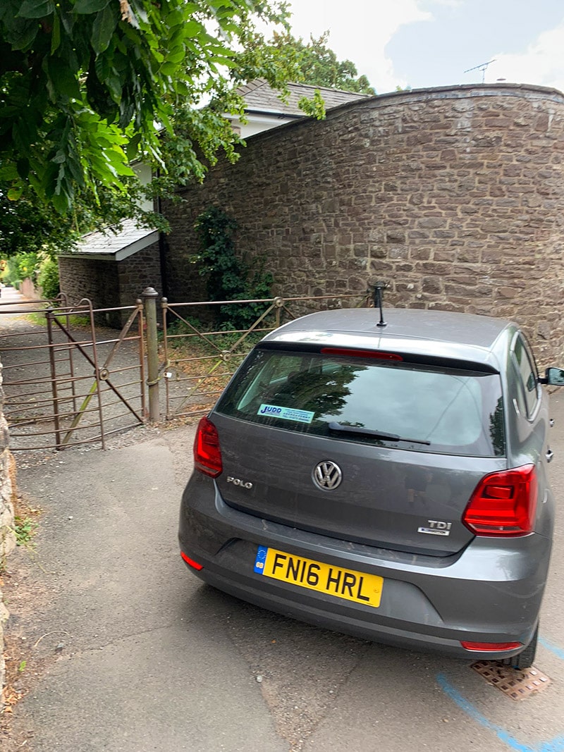
- Parking: Free on-street parking is normally available along Avenue Road. It is a residential street, so park considerately and avoid obstructing homes or entrances.
- Directions: Use this Google Maps parking pin rather than relying solely on a postcode.
- Outdooractive map: Open and follow the St Mary’s Vale Sugar Loaf route.
- Free GPX: Download my hand-crafted GPX file.
- New to GPX files? Read my plain-English guide explaining what a GPX file is and how to use one.
From Avenue Road, walk to Chapel Lane, pass through the metal gate and turn right onto Pentre Road. The route leaves the lane for a dirt path before entering fields and continuing towards St Mary’s Vale Wood.
Sugar Loaf Walk Profile
- Distance: Approximately 6.6 miles / 10.6 km circular
- Time: Around 2.5–3 hours; allow longer for breaks, photography or difficult conditions
- Highest point: Sugar Loaf summit — 596 m / 1,955 ft
- Difficulty: Moderate, with one short, steep final climb
- Terrain: Lanes, farmland, stiles, woodland tracks, open hillside and occasionally loose or muddy paths
- Navigation: Several field and woodland turns make the map or downloaded GPX strongly advisable
- Best for: Woodland scenery, a quieter Sugar Loaf ascent, summit views and a varied circular walk from Abergavenny
Route overview
| Stage | Route section | What to expect |
|---|---|---|
| 1 | Avenue Road → Pentre Road | Residential streets, Chapel Lane and the start of the gradual climb |
| 2 | Pentre Road → St Mary’s Vale | Narrow paths, gates, farmland and the entrance to the woodland |
| 3 | St Mary’s Vale → Sugar Loaf summit | Steady woodland ascent followed by a short, steep mountain climb |
| 4 | Summit → Deri Allt | Open hillside, a key left fork and the return into woodland |
| 5 | Deri Allt → Avenue Road | Woodland, streams, farmland, lanes and the return through Chapel Lane |
Sugar Loaf via St Mary’s Vale: Route Description
1. Avenue Road to the St Mary’s Vale approach
I always begin on Avenue Road. It is a convenient place to start and only a short walk from the lane leading towards Sugar Loaf. Because people live here, I park farther down beside the cricket club where there is usually more room and less chance of inconveniencing residents.
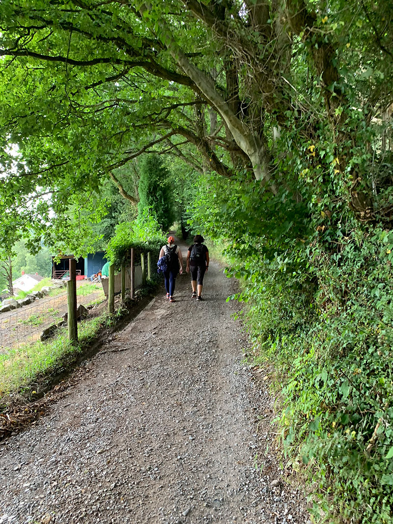
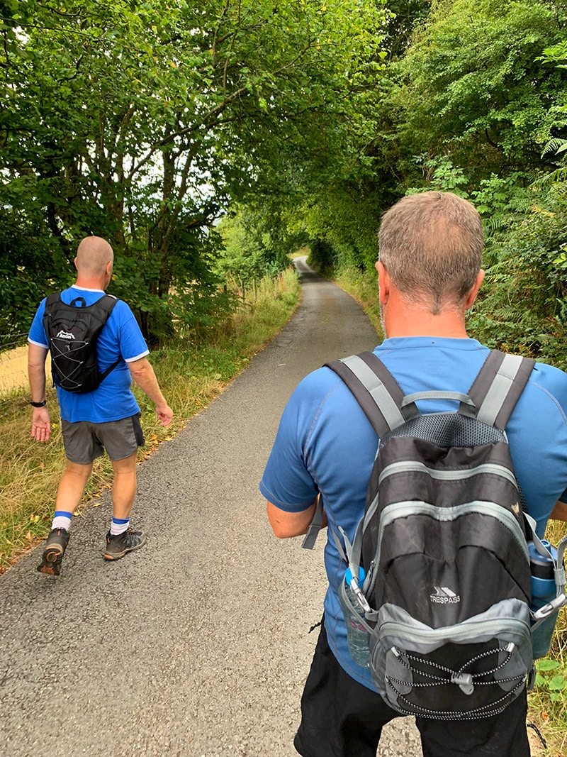
Walk up Avenue Road into Chapel Lane and pass through the gate onto Pentre Road. Turn right and begin following the lane uphill. As the trees start to cover the lane, look for a dirt track appearing on the left beside the first large tree. The path initially runs roughly parallel with the lane before bearing left into an open field.
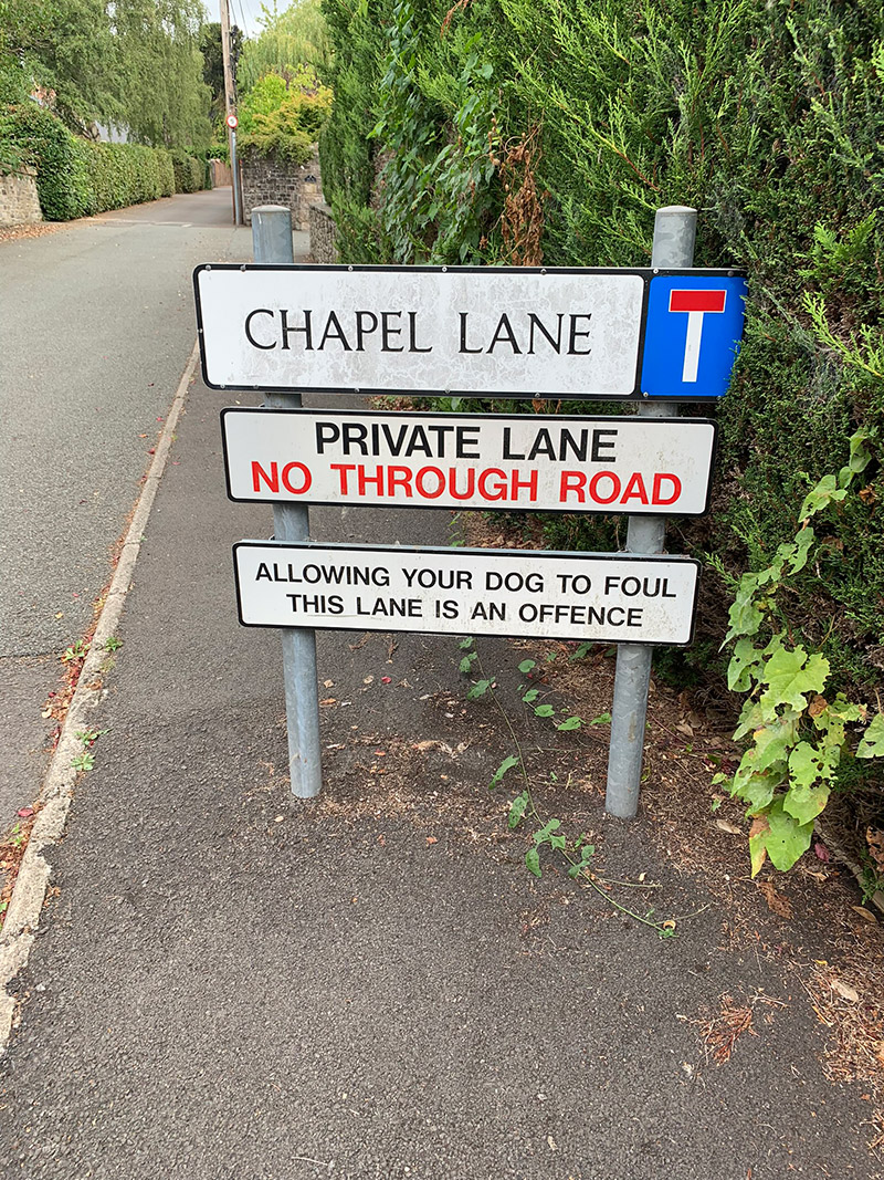
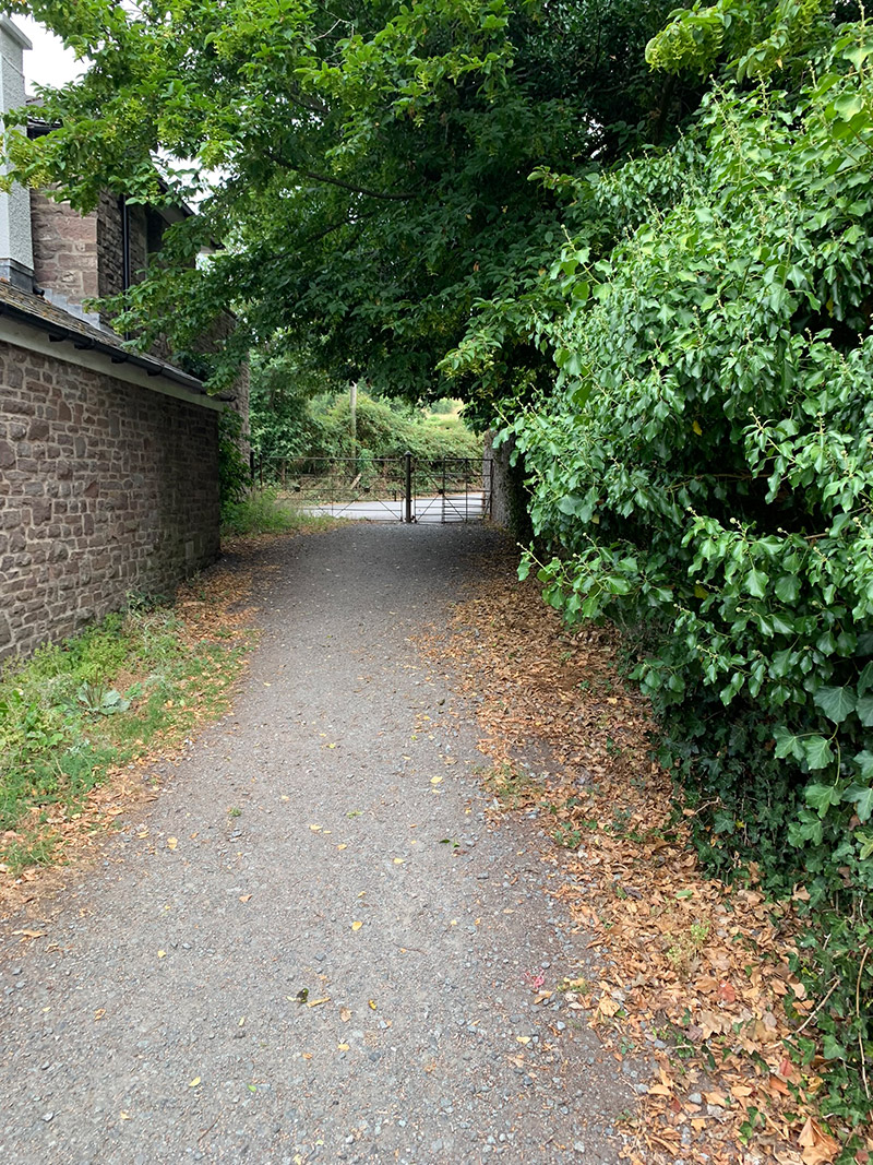
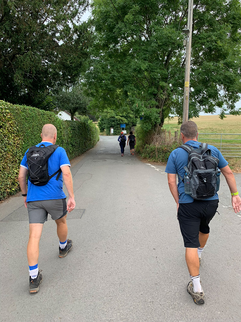
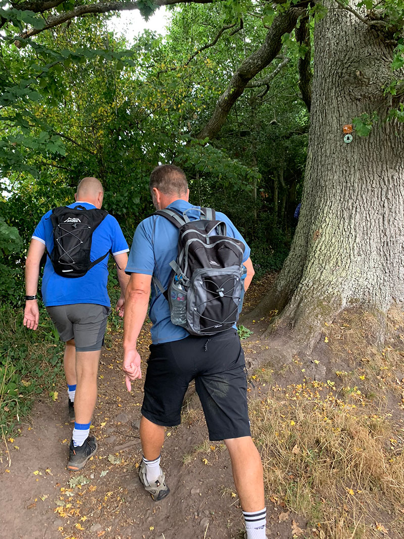
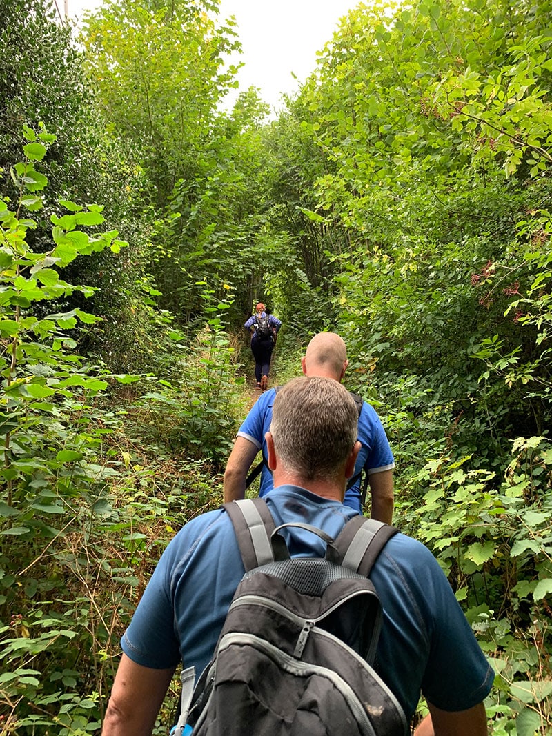
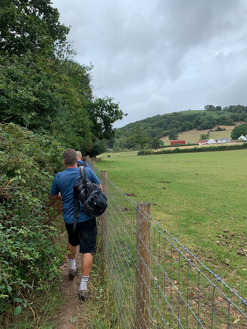
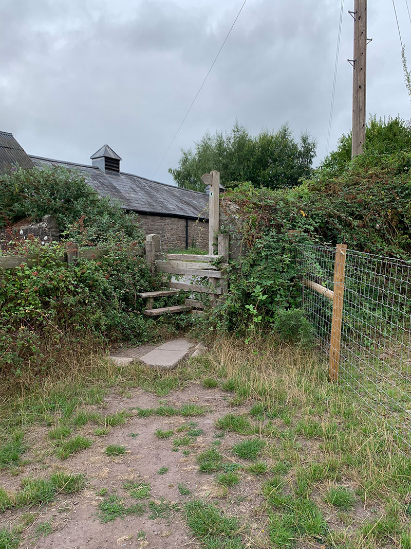
Continue along the narrow path, through turn gates and across the farmland. Horses are often kept in the field on the right. At the top of the field, pass through the gate and follow the lane to the entrance of St Mary’s Vale Wood.
2. Climbing through St Mary’s Vale Wood
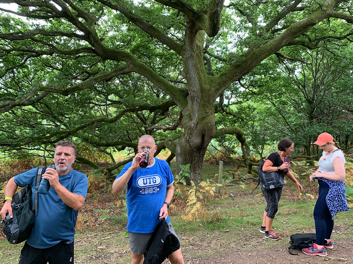
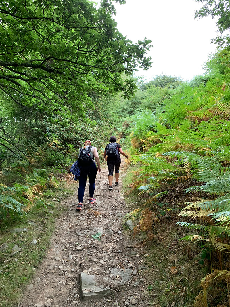
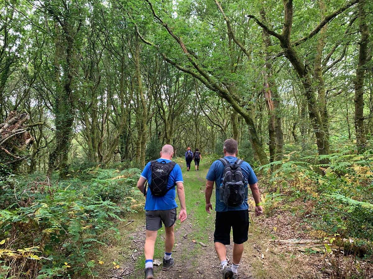
The main ascent begins here with a steady climb through St Mary’s Vale. It is a beautiful, atmospheric woodland and very different from Sugar Loaf’s open upper slopes. Local folklore links the area with Jack O’Kent, a clever giant said to have repeatedly outwitted the Devil.
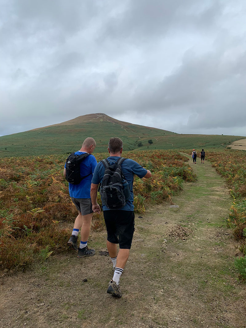
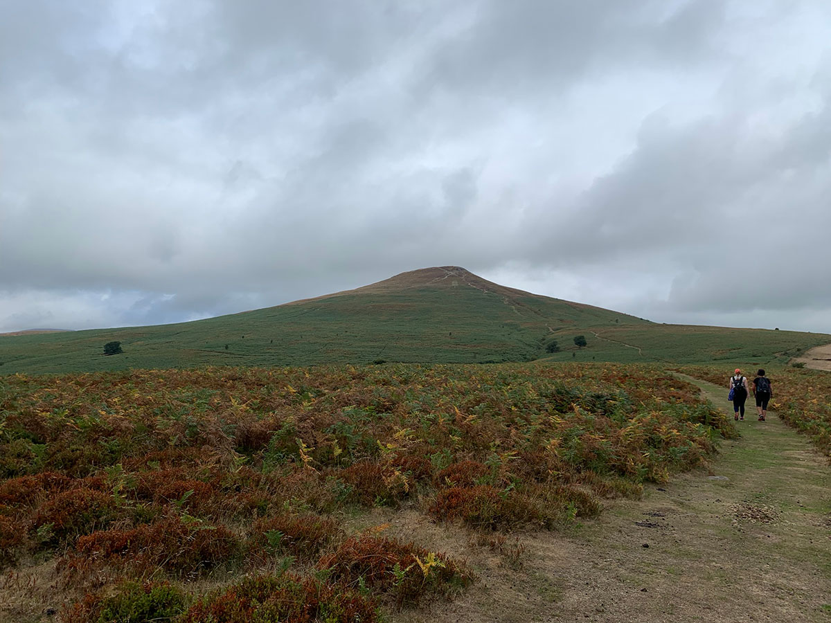
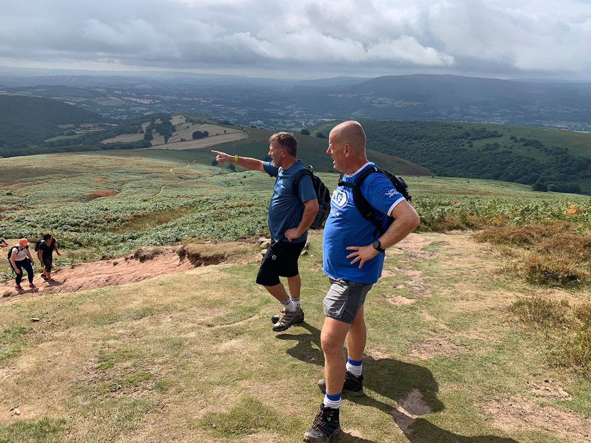
Keep following the woodland path uphill. When you leave the trees, Sugar Loaf’s distinctive summit appears directly ahead. The route across the open ground is clear, but the final climb is steeper than it first appears.
After prolonged rain this section can become very muddy and slippery, and you may occasionally need to steady yourself with your hands. Take your time and keep following the well-worn line to the summit.
3. Sugar Loaf summit
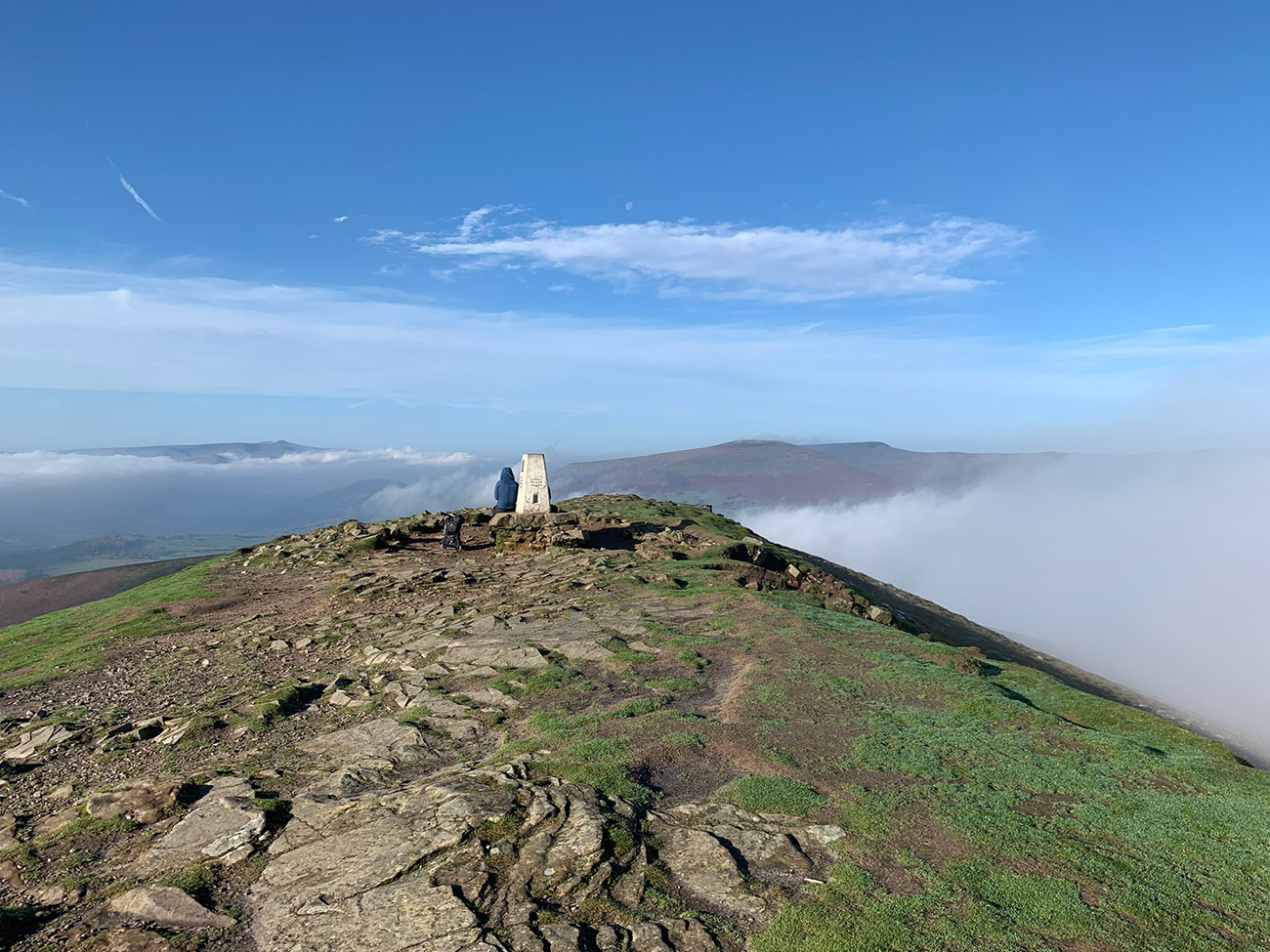
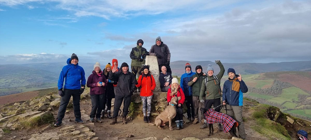
The 596-metre summit is a perfect place for photographs, coffee and a Welsh cake while taking in the 360-degree views. On a clear day you can see across Abergavenny to the Blorenge and Skirrid, along the Black Mountains and towards the central Bannau Brycheiniog.
Sugar Loaf is exposed, and even a pleasant day lower down can become cold and windy at the top. Small sheltered hollows beside the summit can provide some protection before you begin the descent.
4. Descending towards Deri Allt
Leave the summit on the opposite side from the ascent. From the trig point, head left and pick up the path curving around the side of the mountain. When the path divides behind Sugar Loaf, take the left-hand fork, which descends away from the summit.
Farther down, another left turn leads towards a gate where the trees begin. Pass through it and enter Deri Allt. This is an easy junction to miss, which is one reason I recommend having the GPX downloaded before setting out.
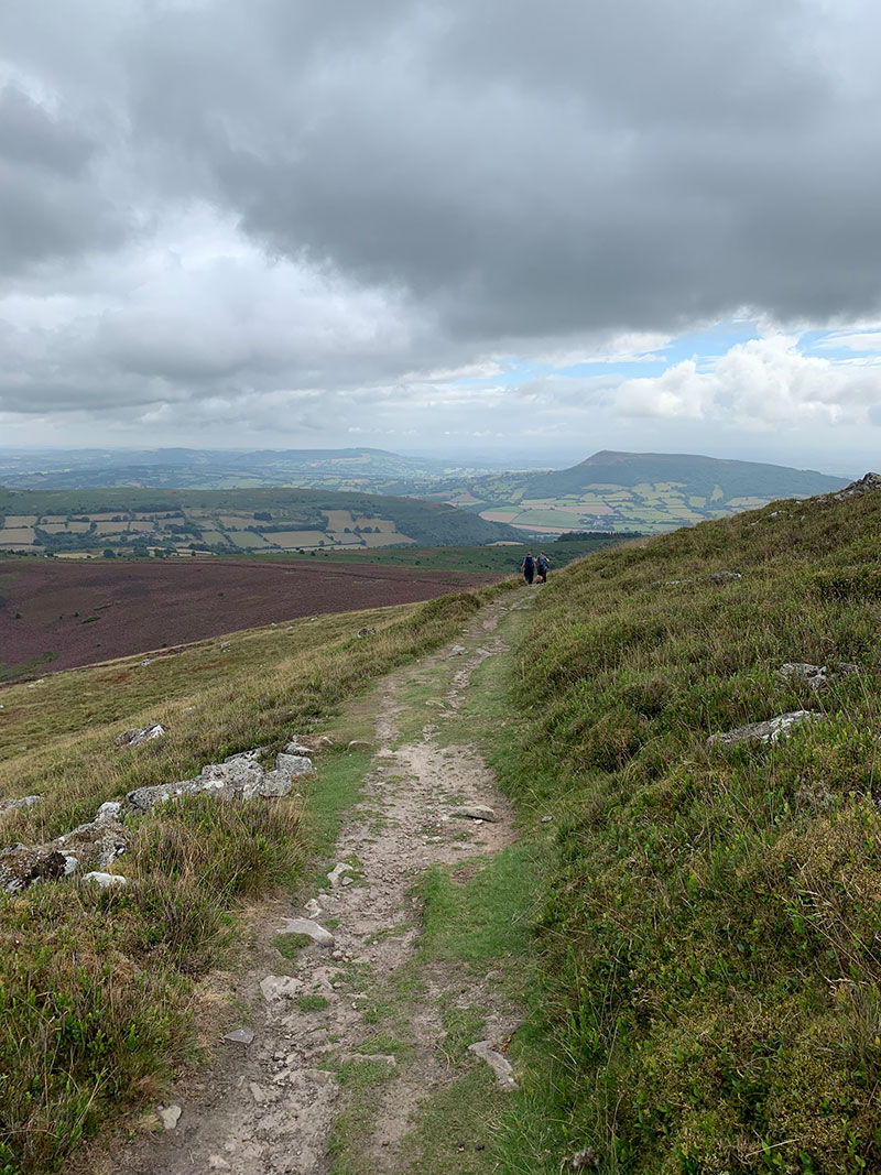
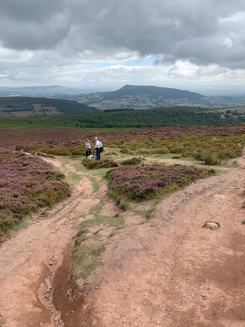
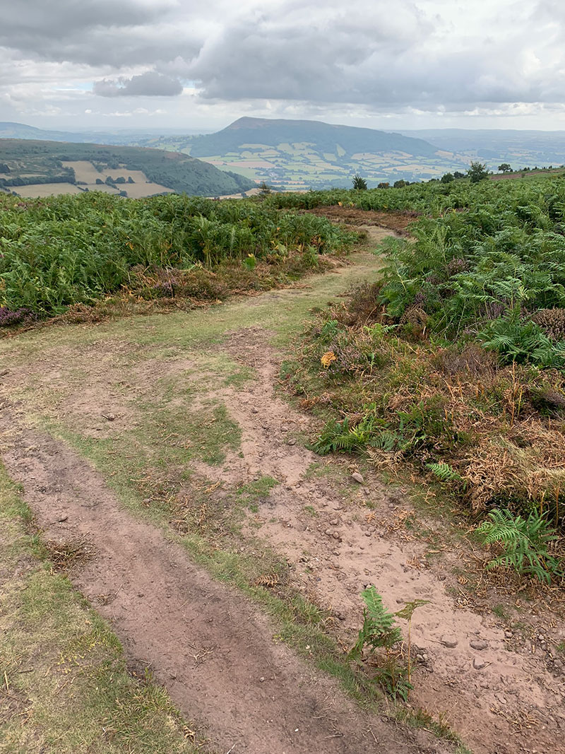
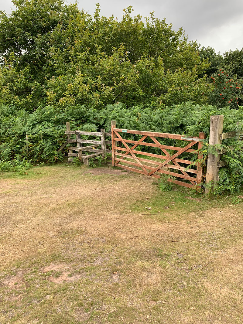
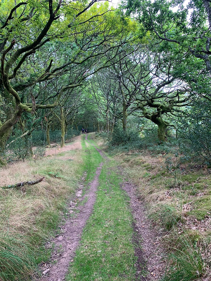
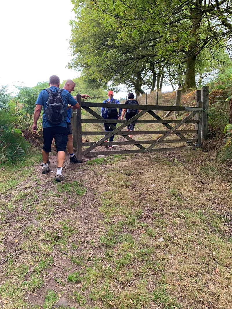
A clear path continues through the woodland, rolling through several small dips and crossing little streams. Eventually, you will reach a point with a farm gate ahead on the right and the dirt path continuing to its left. I normally pass through the farm gate and return to the open fields.
5. Farmland and the return to Abergavenny
Continue into the field and follow the fence on your right. Sheep and cattle are regularly present, so keep dogs under close control and give livestock plenty of room. After the next gate, head towards the trees, pass through them and then turn left to rejoin the woodland path leading to another gate and stile.
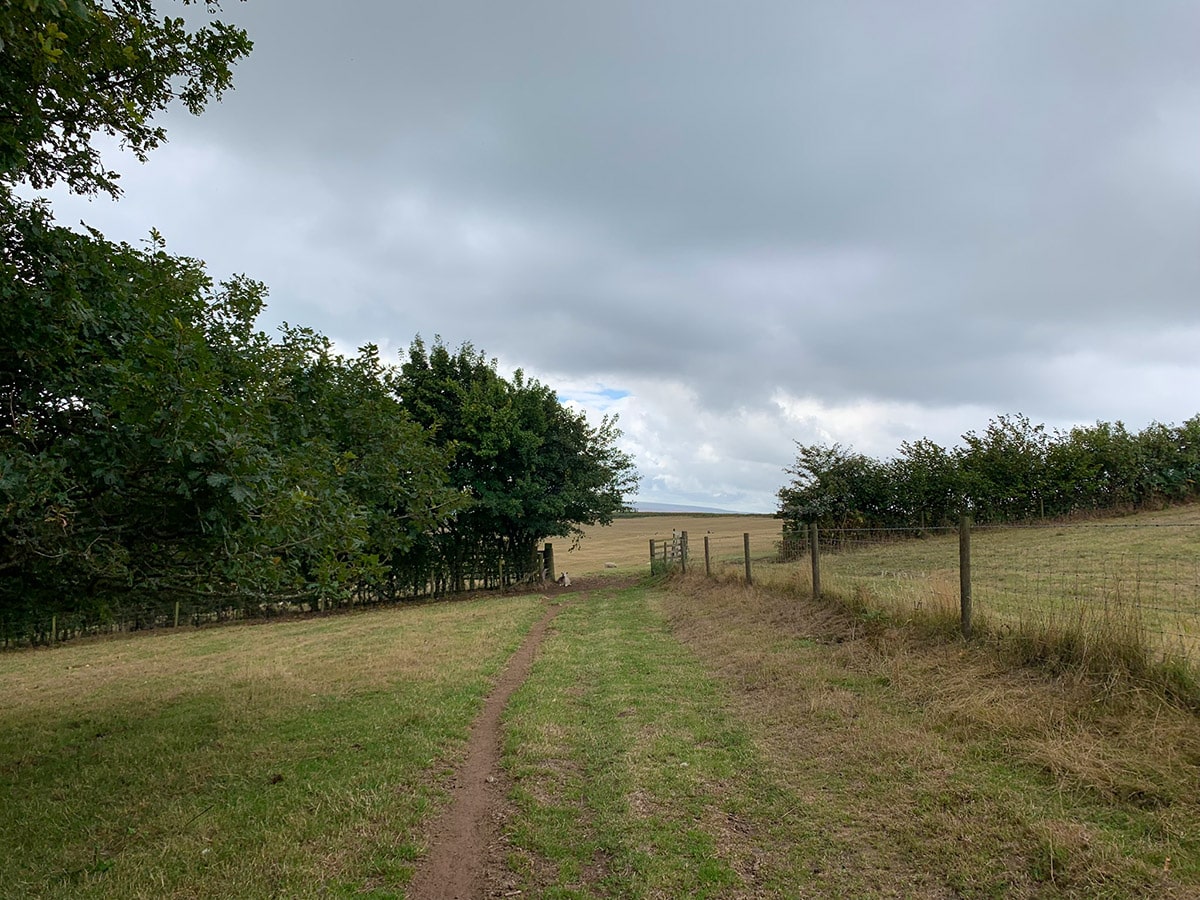
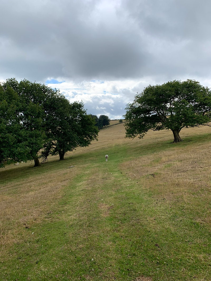
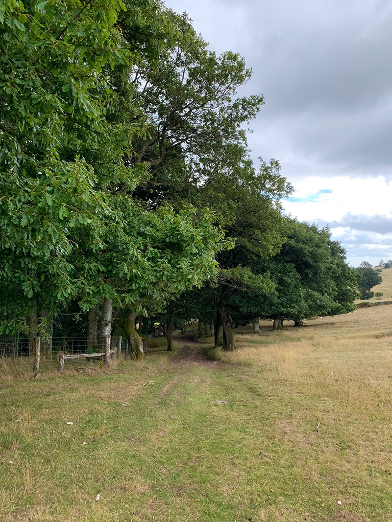
From here, continue ahead across the fields towards three houses. These mark the end of the field section and the beginning of the lane back towards Abergavenny. A small car park appears shortly after the houses; turn right there and follow the main lane downhill.
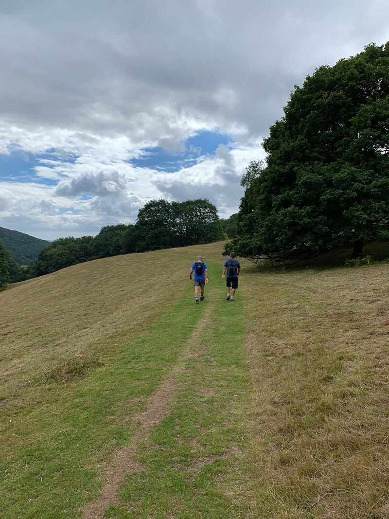
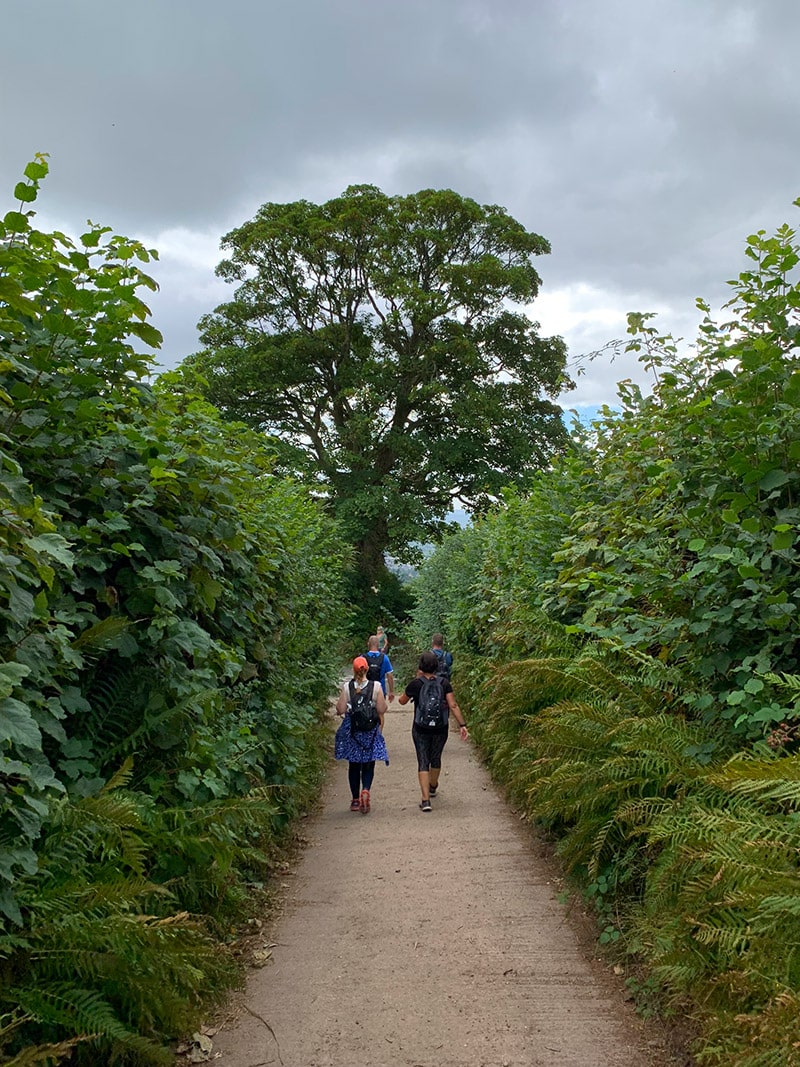
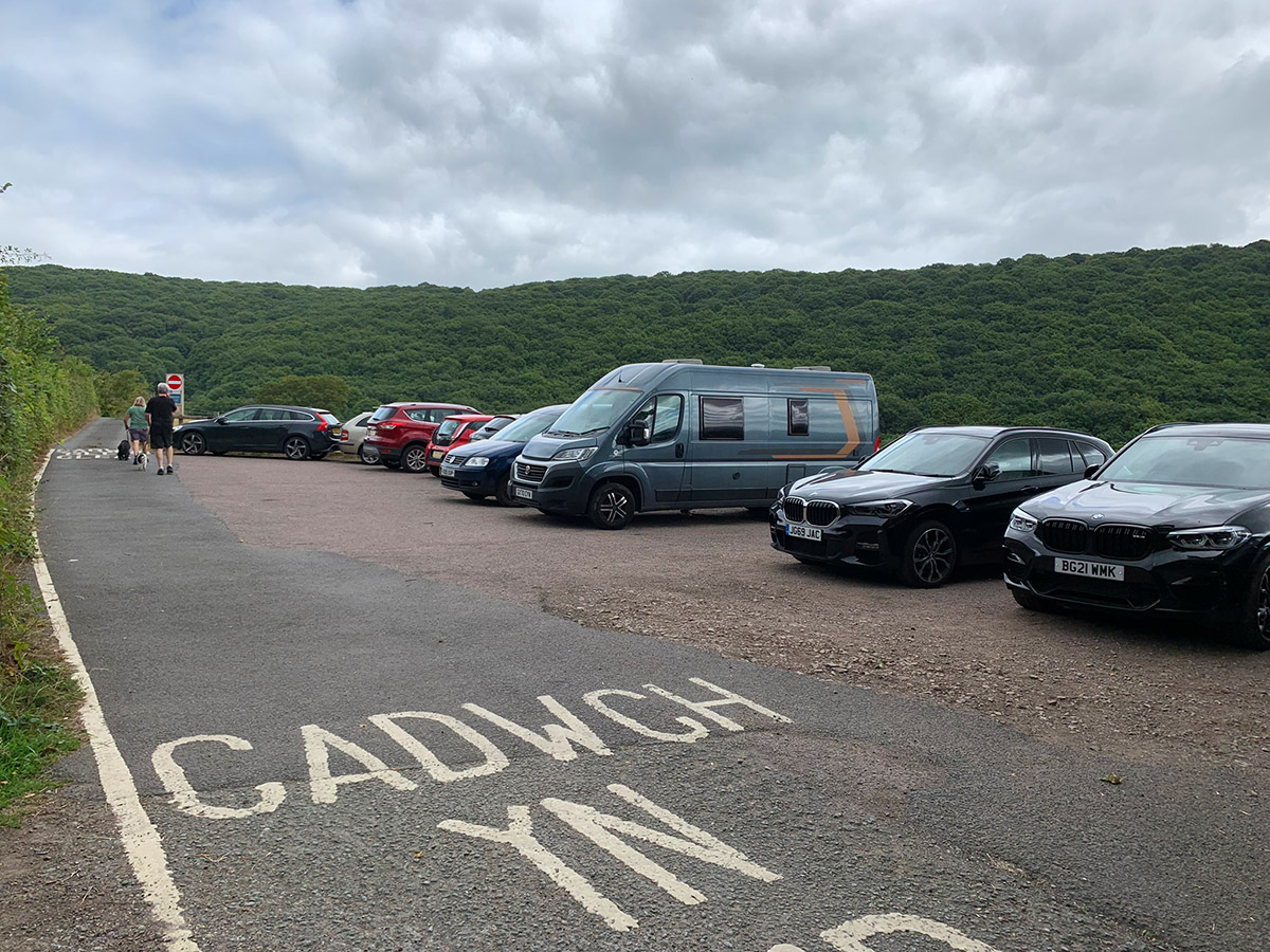
The final lane should now look familiar because it rejoins the outward route. Turn left off Pentre Road, pass through the gate at the end of Chapel Lane and retrace the short walk to Avenue Road and the cricket club.
Practicalities
- Footwear: Wear walking boots or trail shoes with good grip. The woodland and final ascent can become slippery and muddy.
- Weather: Sugar Loaf is exposed above the trees. Carry waterproofs, a warm layer and wind protection even when Abergavenny feels mild.
- Navigation: The upper mountain paths are clear, but several turns through the woodland and farmland are less obvious. Download the GPX before leaving.
- Livestock: Sheep, cattle and horses may be encountered. Keep dogs close and use a lead around animals.
- Water and facilities: Carry what you need for the walk. Shops, cafés, pubs and toilets are available in Abergavenny rather than on the mountain.
- Parking: Avenue Road is residential. Park responsibly and never block driveways, gates or access.
- Best conditions: A clear day gives excellent views, while prolonged rain makes the steep ascent and woodland paths considerably harder.

Walk this Sugar Loaf route in 3D
This 3D walkthrough gives you a useful preview of the St Mary’s Vale and Deri Allt route before you set out.
Sugar Loaf via St Mary’s Vale FAQs
How long is the St Mary’s Vale Sugar Loaf walk?
How long does it take to walk up Sugar Loaf from Abergavenny?
Where do you park for this Sugar Loaf walk?
How difficult is the Sugar Loaf walk through St Mary’s Vale?
Is there a map and GPX for the route?
Can dogs walk this Sugar Loaf route?
What is special about St Mary’s Vale?
Is this the easiest route up Sugar Loaf?
Disclosure: Some links on Welsh Man Walking may be affiliate links. If you make a booking or purchase through one, I may earn a small commission at no extra cost to you.
The URL for the GPX file doesn’t work. I get a 404 error. Other GPX files are working fine, so either the file didn’t get uploaded properly or (more likely) the URL is incorrect. Otherwise this description is great. I look forward to visiting the area.