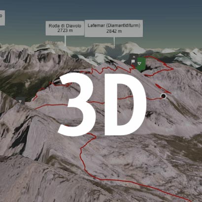
Walk this route yourself in 3D!
The Video is a 3D walk through of this route, it will give you a unique sense of having walked through the route before you start.
I have created 3D Videos of my adventures and have shared them with the OutdoorActive community as well as my walking community.
Crickhowell has a large number of hiking and walking routes in and around the villages and mountains and the one we are visiting today is famous for the Escarpment, the Llangatock Escarpment circular walk starts in the Crickhowell Secondary school car park, which is always available to park in as I mostly head out on Sundays, so when visiting Crickhowell, be sure to try that School car park first.
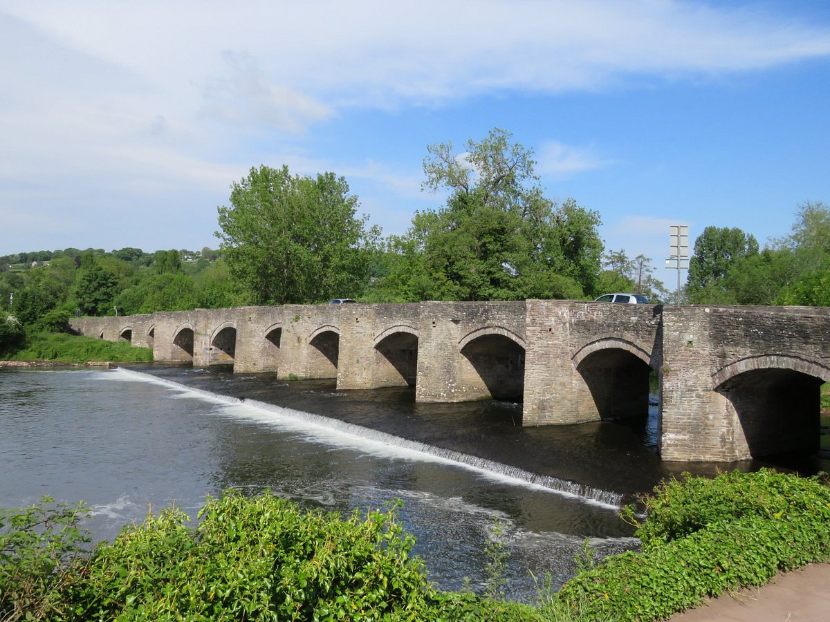
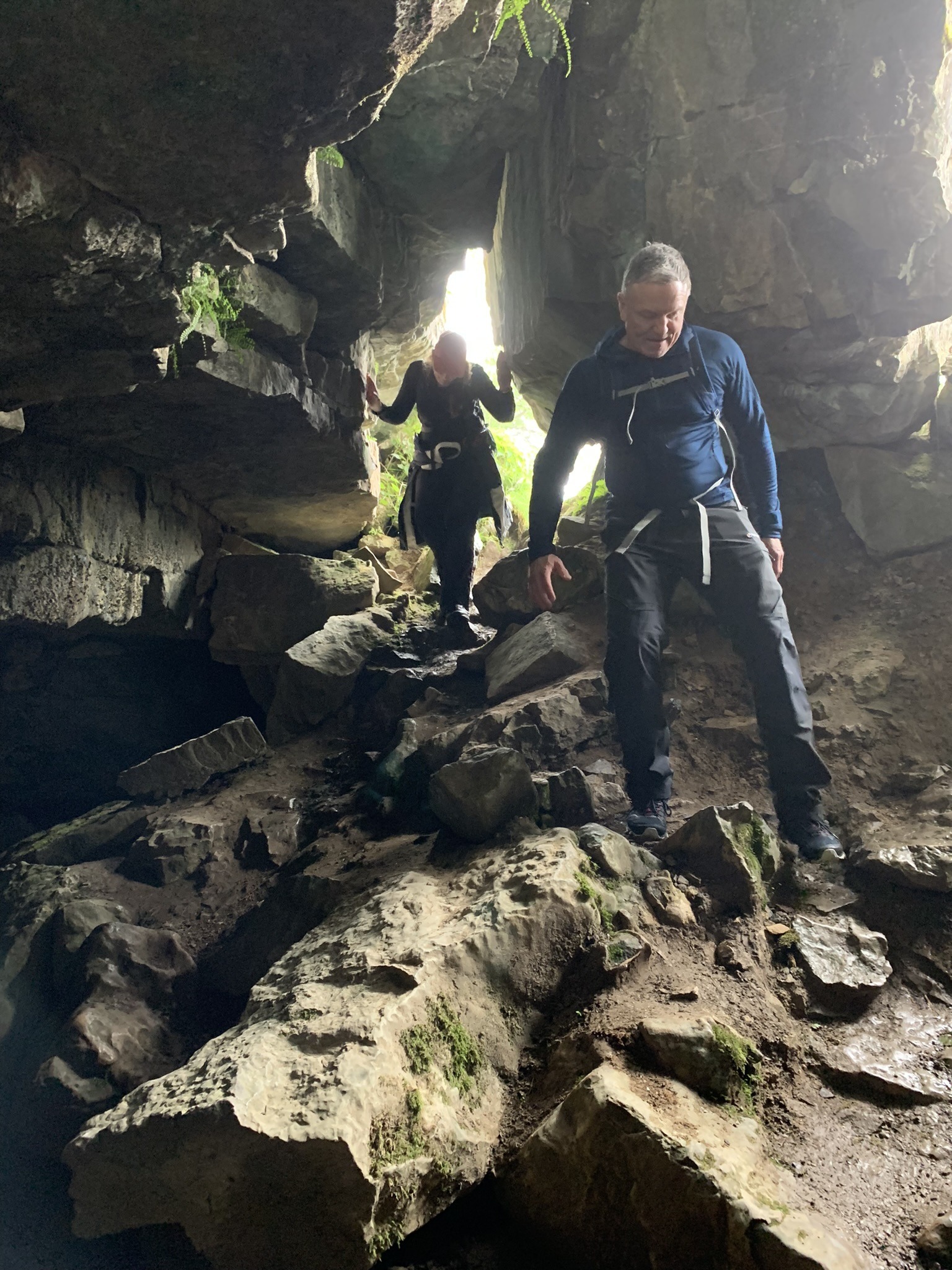
This hike will take you over the River Usk, through Llangattock over the canal bridge, and along the lanes and pathways which will start to take you around and up onto the hillside where Craig Y Cilau National Nature Reserve is. On route we bumped into some cavers, and they directed us to a cave entrance which we went into, I have added that and the pics to this hike below.
Getting There: Directions, GPX and App Link
The Hiking app I use to plan the walks and to also guide me around is the ‘Outdooractive App‘, which has a free a Pro and a Pro+ version, the Pro version will allow you to download the routes to your phone, and use them without using up your data.
The reason I mention it is that if you were to download a route, they are FREE and you can find this link to this route in my hike listings. You can then follow the arrows and voice on your mobile, as most of these walks are a bit tricky to explain.
- Crickhowell and its neighbouring village Llangattock is situated between Abergavenny and Brecon on the A40. Or you can use the A465 and turn off for Crickhowell and use the A4077 which will allow you to turn into Crickhowell from the bottom over the River Usk bridge.
- If you use the A40, when you arrive in Crickhowell, turn down the hill (A4077) opposite the Shell garage, and the school is on your right to park on weekends and afternoons.
Navigation Aids:
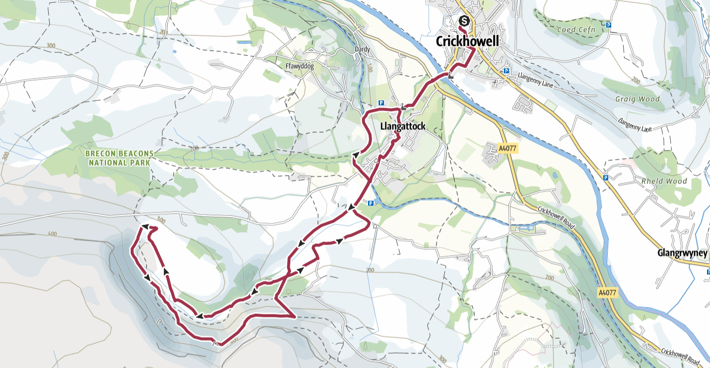
Hike Map
Hike Profile
- Distance: 7m / 11km
- Duration: 4 hours
- Highest point: 1300ft / 400m
- Difficulty: Moderate (1 steep short climb)
- Route conditions: Roads start and finish, well walked pathways and crossing fields in places
Hike Description & Pics
We started in the Secondary school car park, it was a Sunday so it’s always free, but it does fill up quickly. Head to the main road and then turn right down the hill and cross over the bridge spanning the River Usk, you will then see a set of traffic lights which you need to cross, and head up through the field opposite.
Follow the field up, go through the Church yard keep left and you will pop out in Llangattock on Hillside Road. Turn right to go up the street, then turn left at the fork so you go over the canal on that bridge.
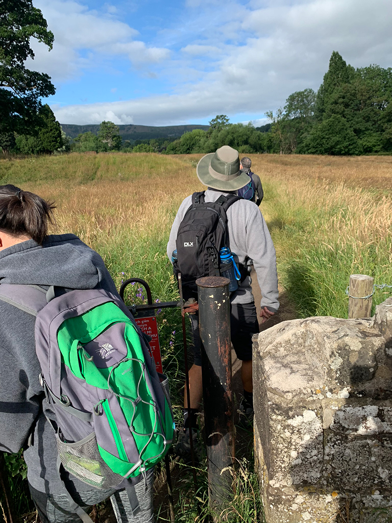
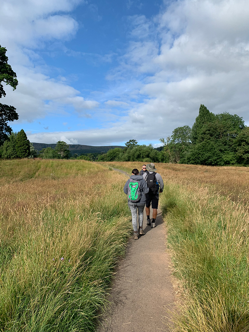
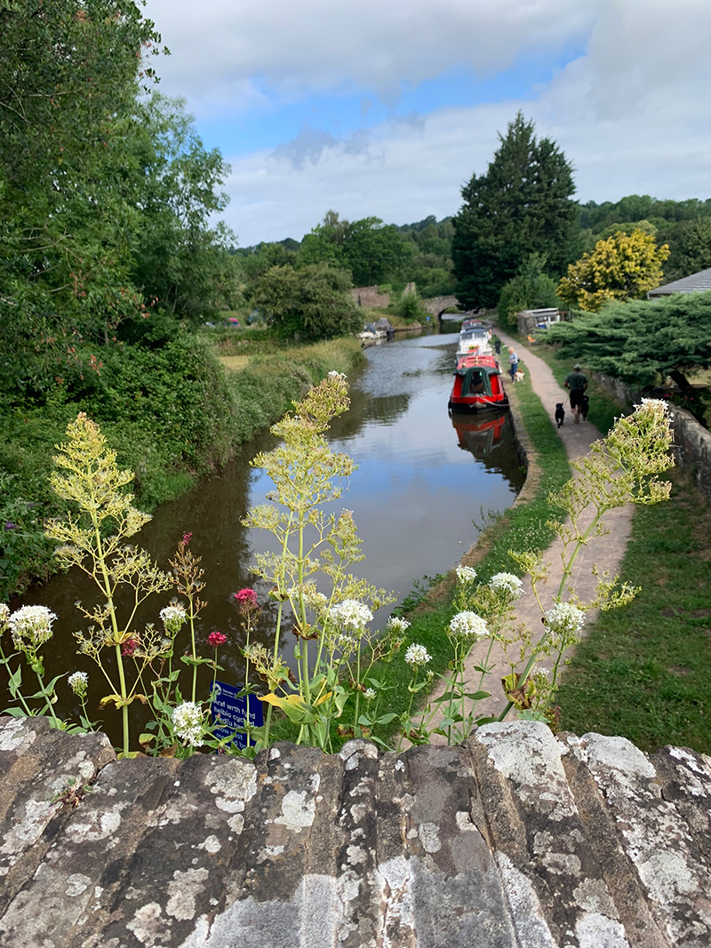
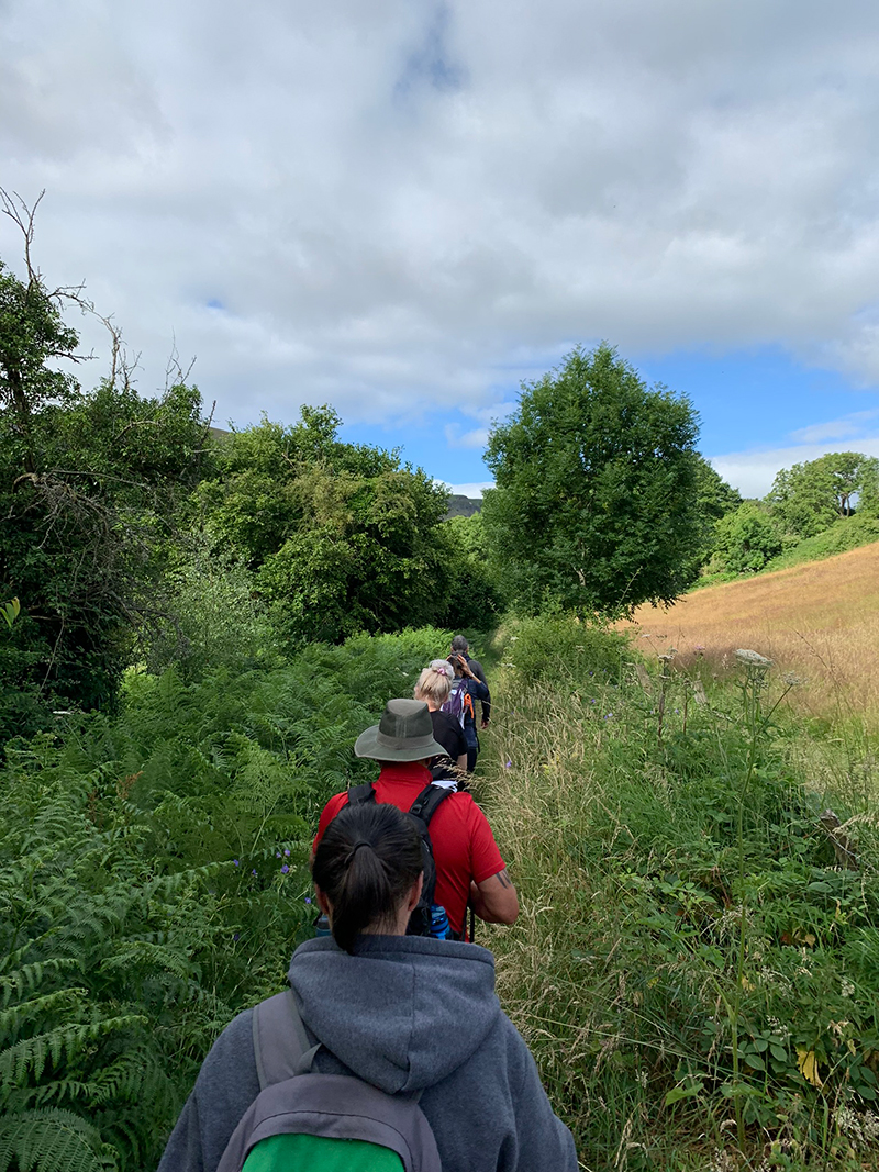
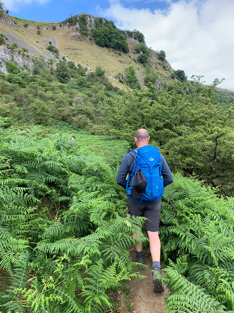
Along the lane, at the point where it turns to the left you will see a yellow walking sign pointing to follow the trail through the fields to the right instead, this is where you will leave the road and follow the trail keeping mostly to the left whilst the hillside is pretty much in front of you.
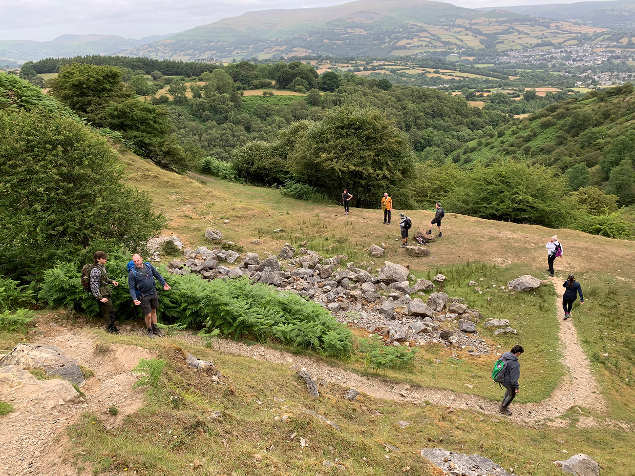
Not long after you will come to a farmer’s gate and you will see a steep climb after it in front of you, we headed up there, it is steep and longer than it looks but it is worth it. We then had a little break at the top as there a nice bench and right in front of you is the hillside, you will eventually walk up to.
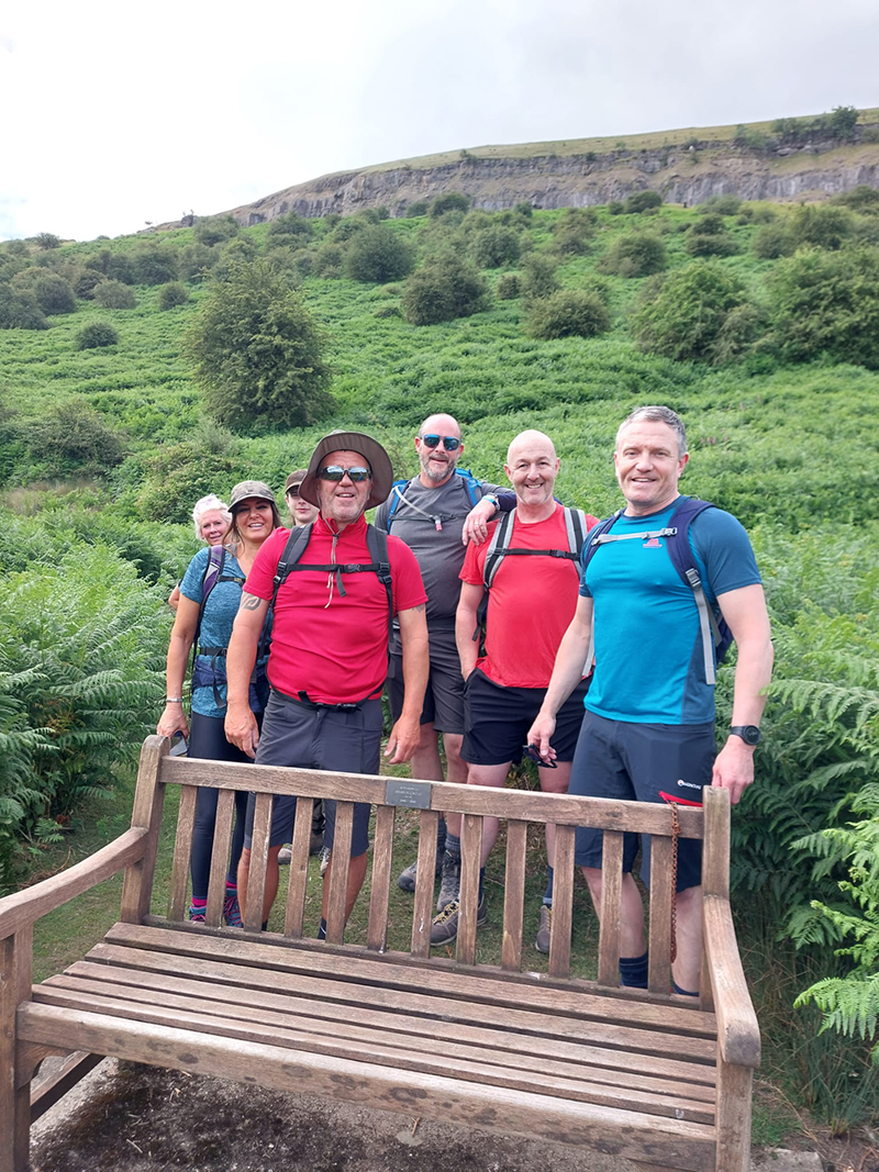
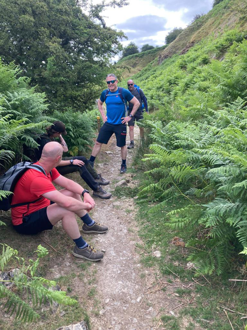
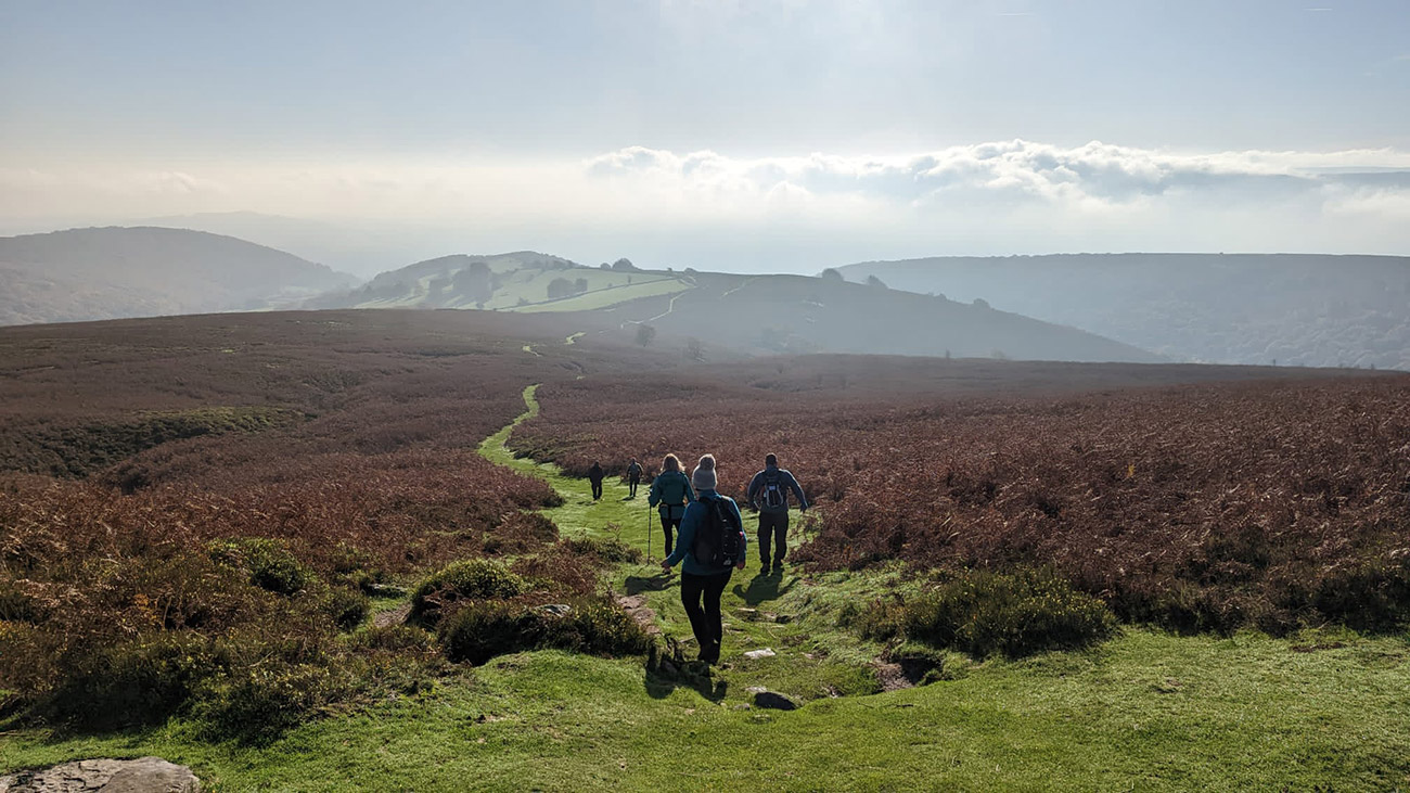
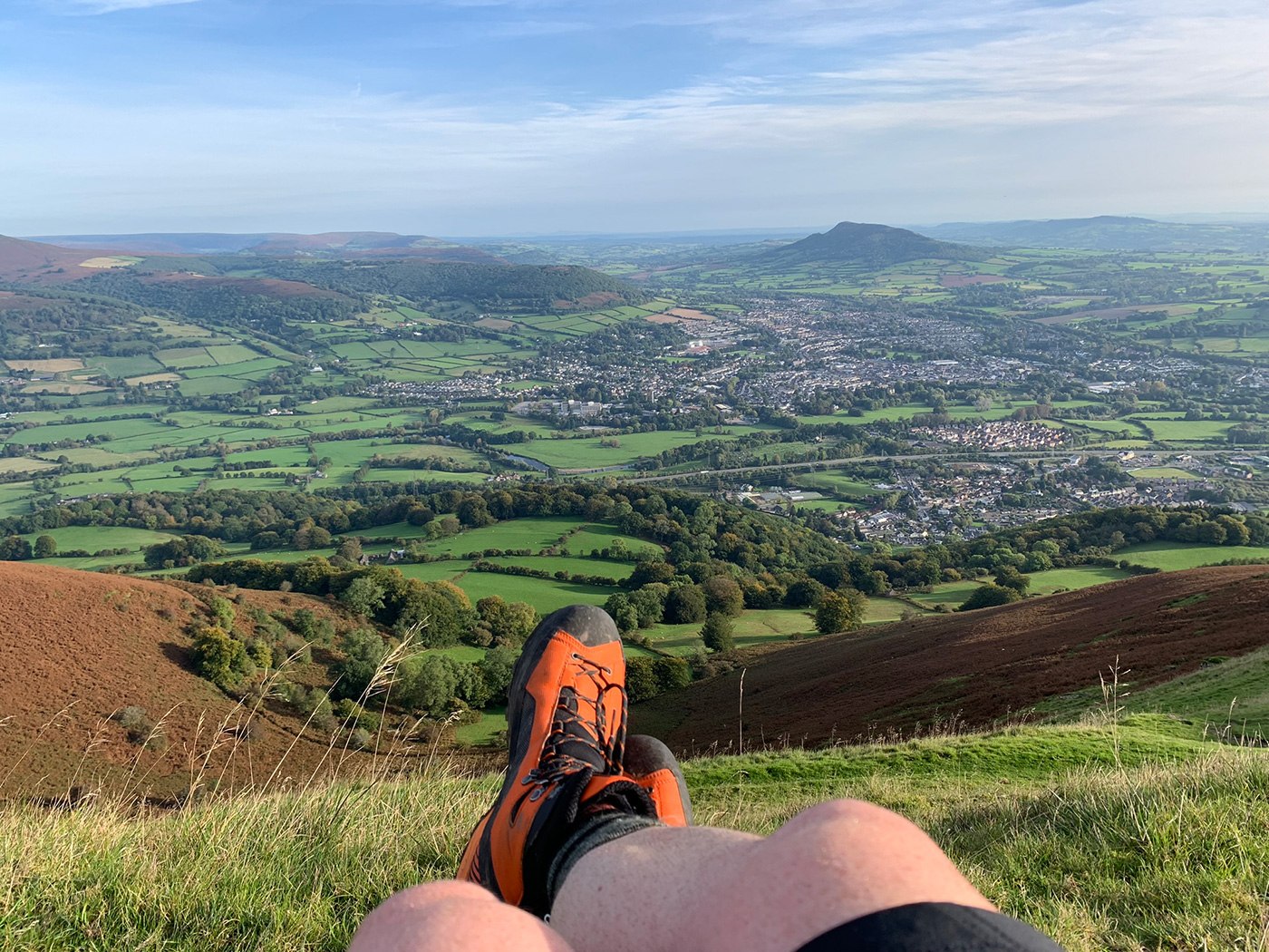
After our coffee break, the path will take you up another climb which brings you out onto the escarpment, turn around and you will see great views over to Crickhowell, Table Mountain and the sugar loaf to your right. You need to see the old quarries, so at the top of that last climb take a left and follow the path along the ridge.
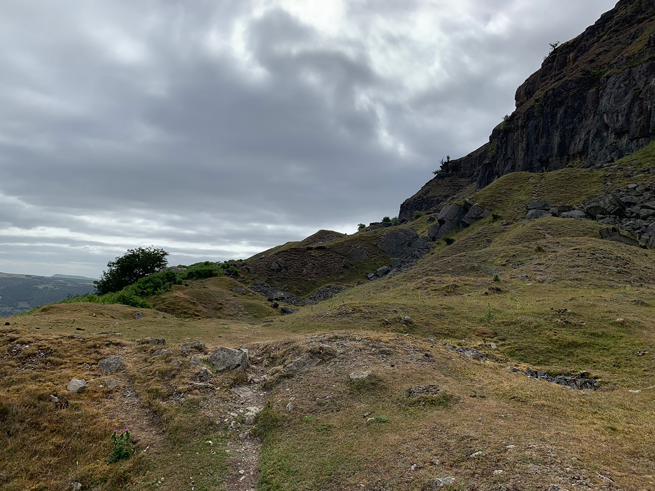
This part of the mountain has some old quarries, created around 1790 and then abandoned for nearly a hundred years; the leftovers include all the excavated rocks, a series of spoil heaps now covered in grass, which make a great little walk in itself.
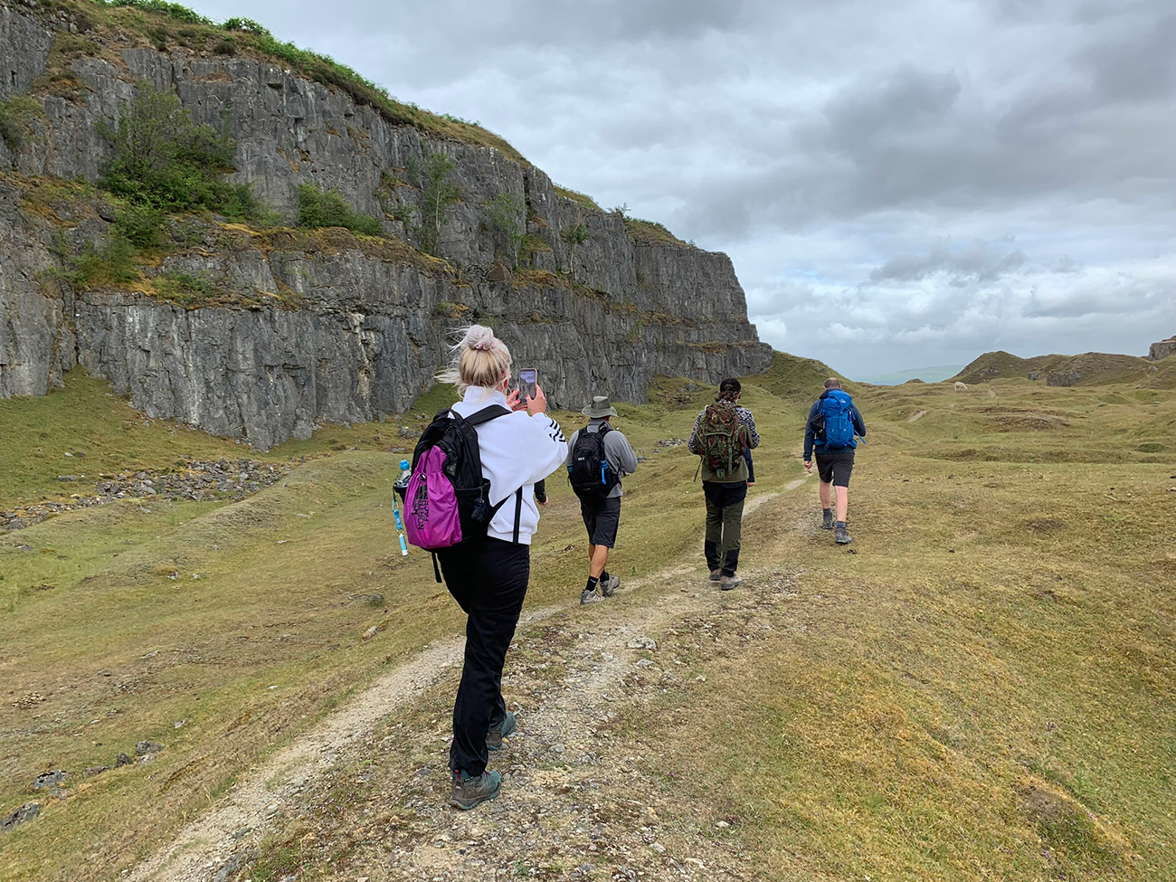
After a short while, you will cut through one of the spoils and walk into the quarry part and walk alongside the cliff edges, this is a very different and interesting part of this walk. Don’t worry about walking back on yourself either, this is part of the walk, and you will soon join back up onto the ‘Cambrian Way’.
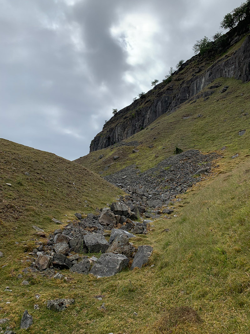
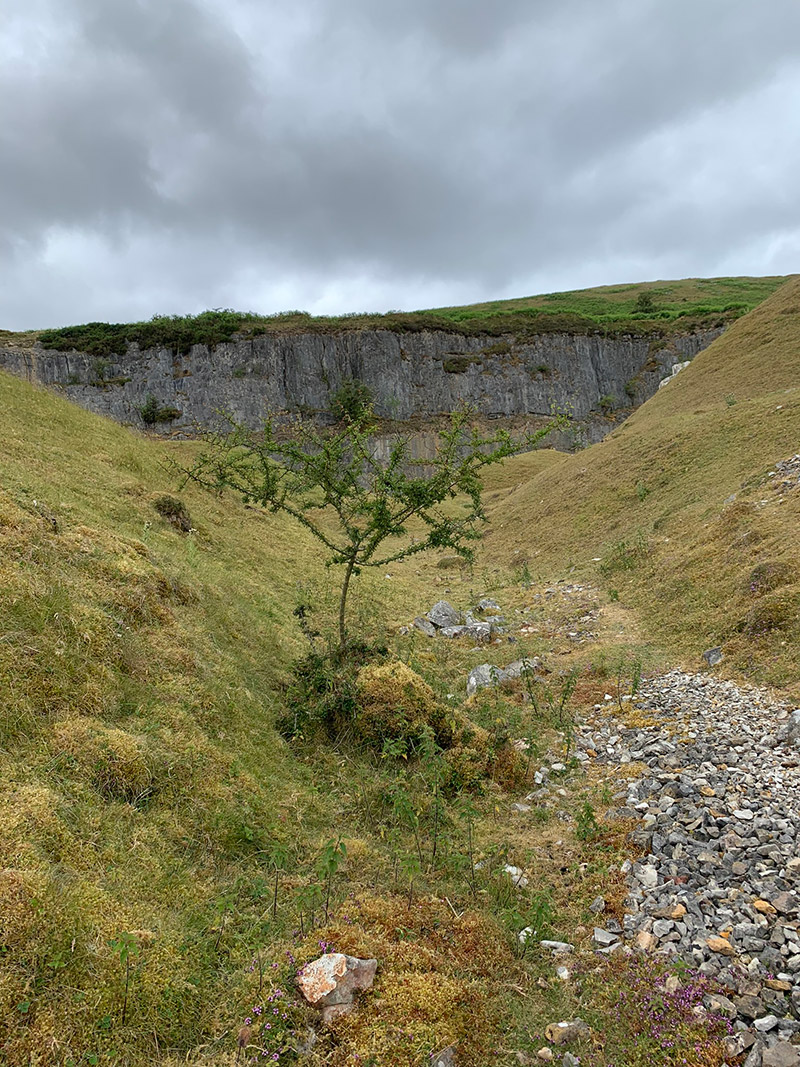
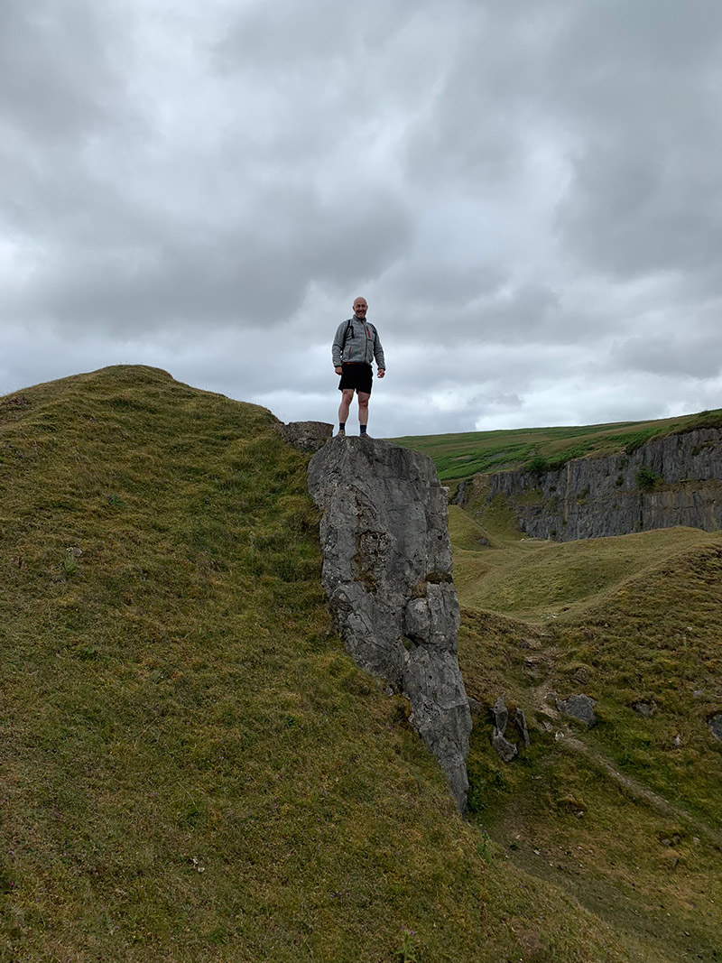
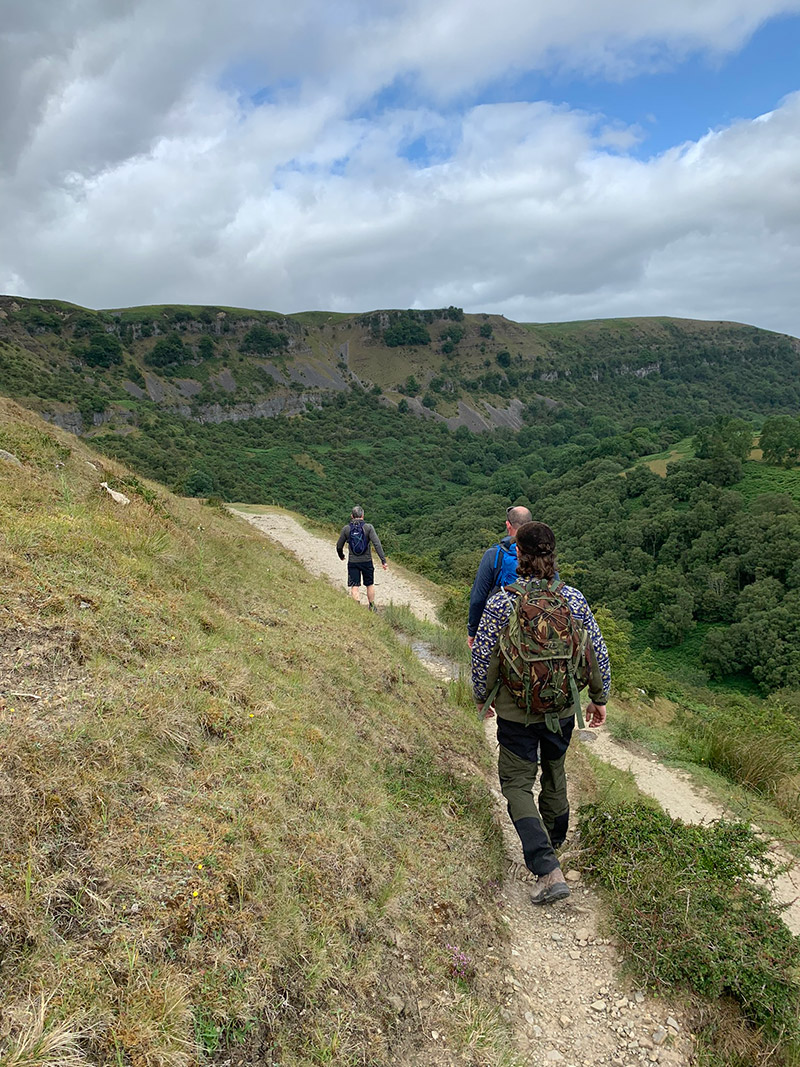
Back on the Cambrian Way, we bumped into 3 cavers, and they told us about a little cave entrance along the ridge to the left, which can be got to by a little zigzag climb to see the cave entrance.
I later found out the cave we went into is called ‘Eglwys Faen’ or ‘Church Cave’ and a local man named Gabby Early produced a YouTube video as he goes through this cave network, I’ve linked to it here, or take a look below, it’s an incredible journey.
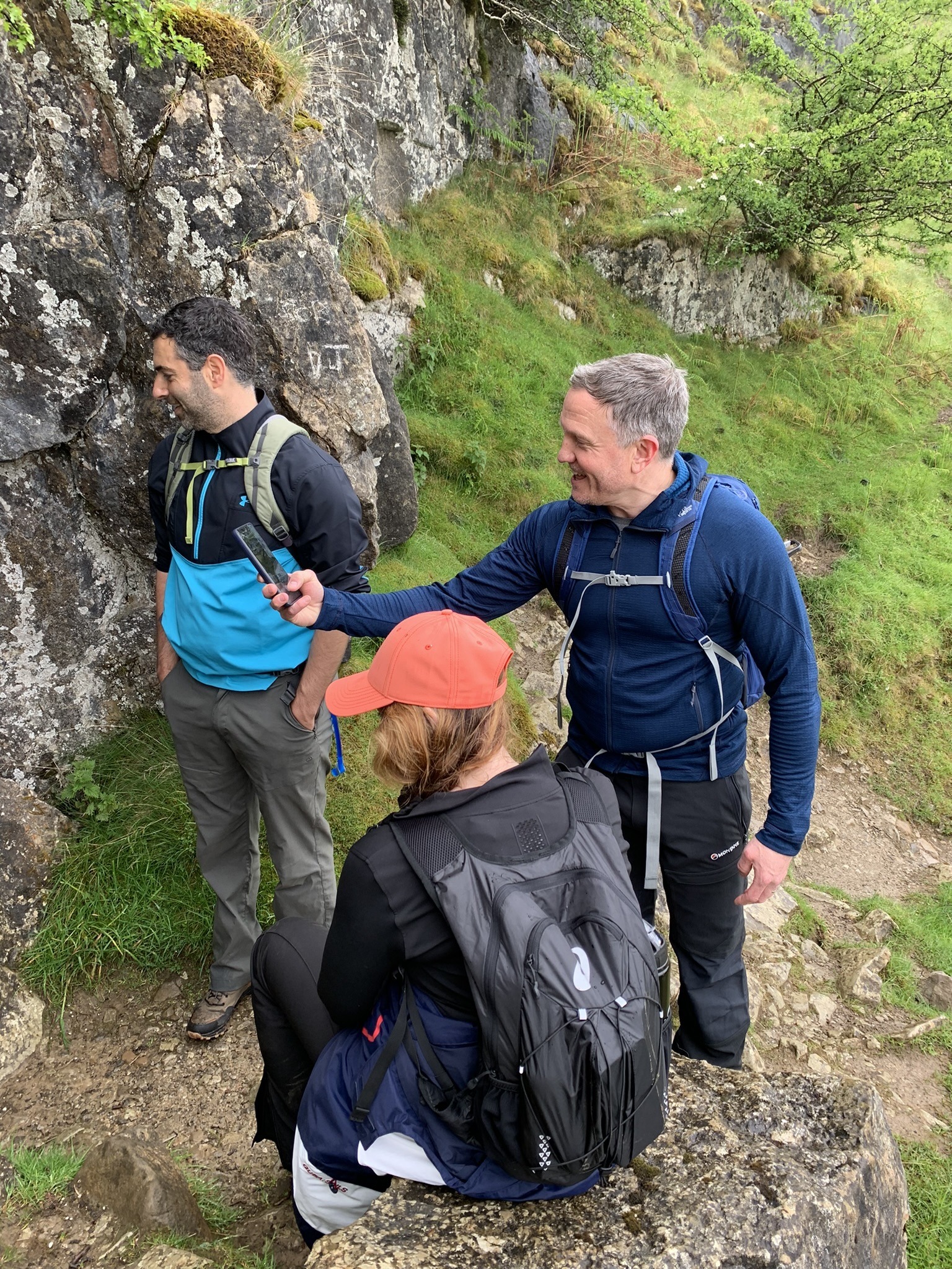
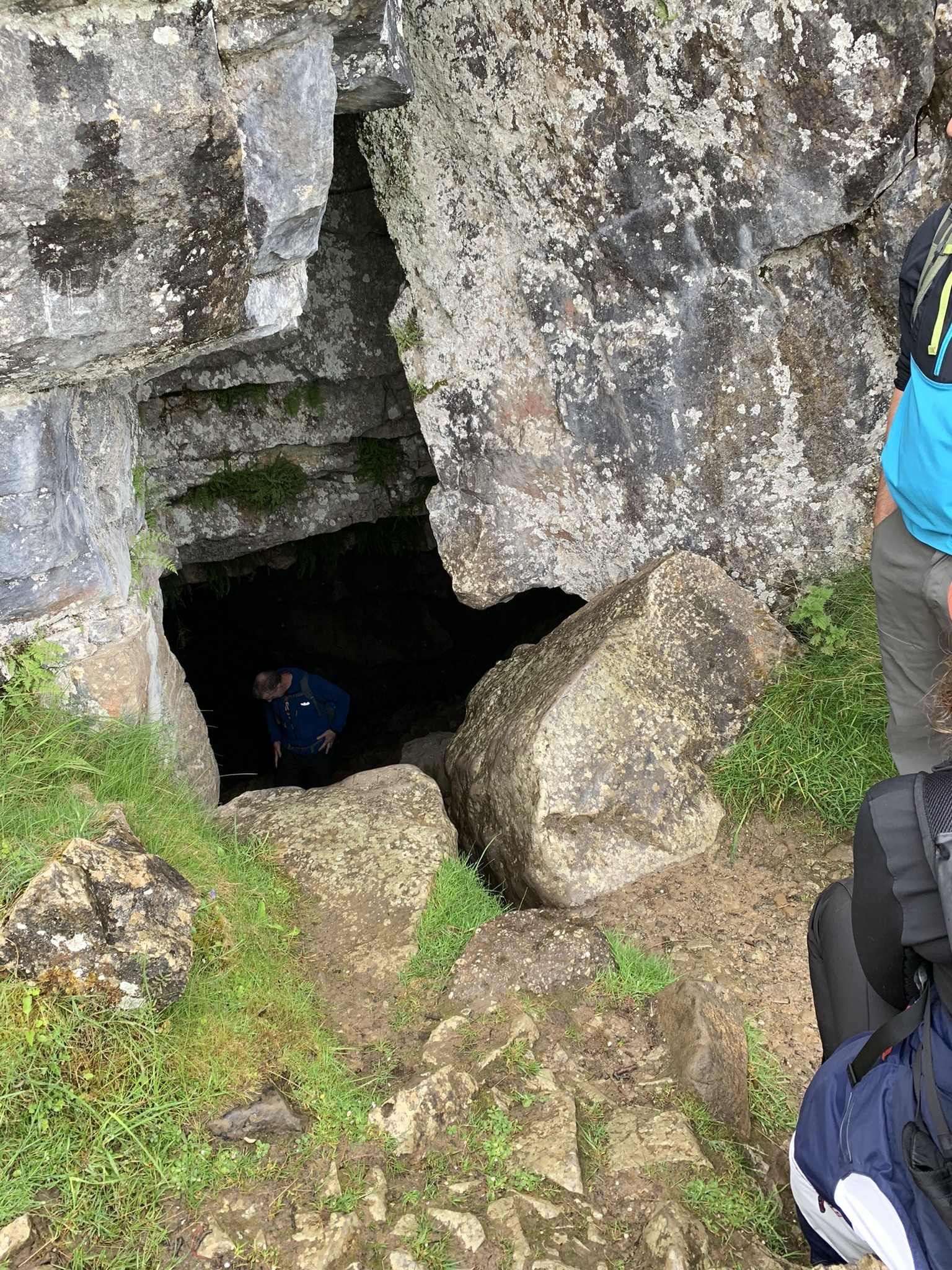
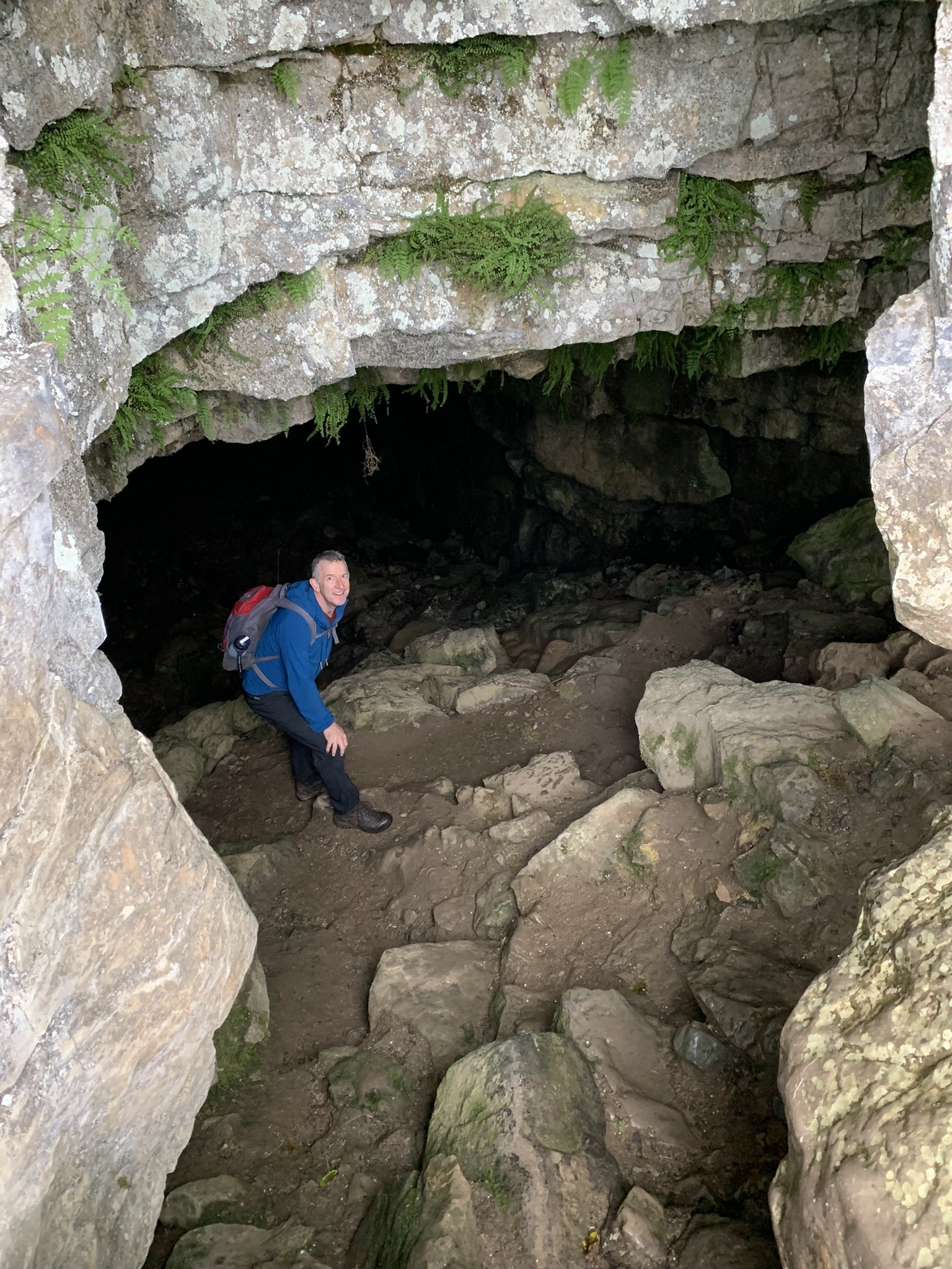
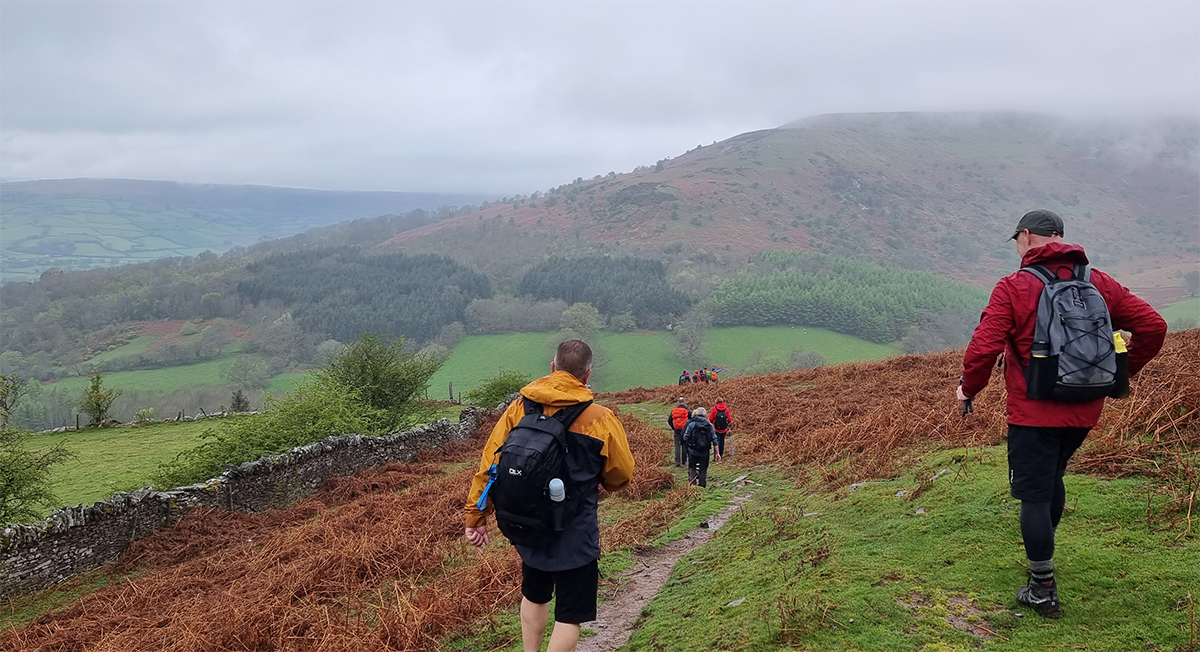
After the caves, we carried on ahead with the rock face on our left side and shortly after we came to another yellow sign pointing us down to the right, a short distance ahead a sharp right appears with another yellow arrow, this path takes back in the direction we started from, through a beautiful, wooded area.
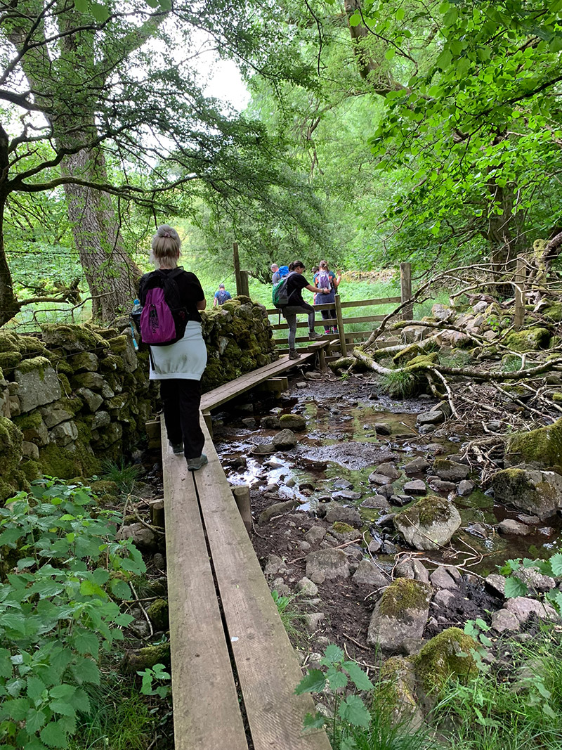
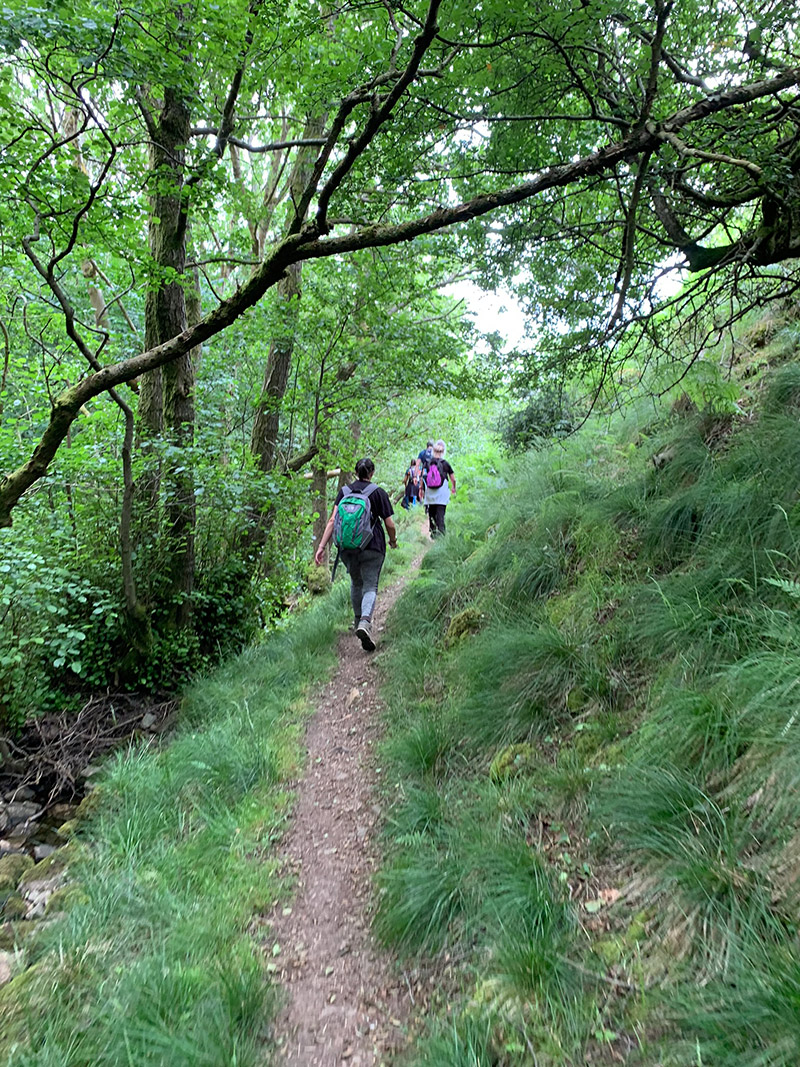
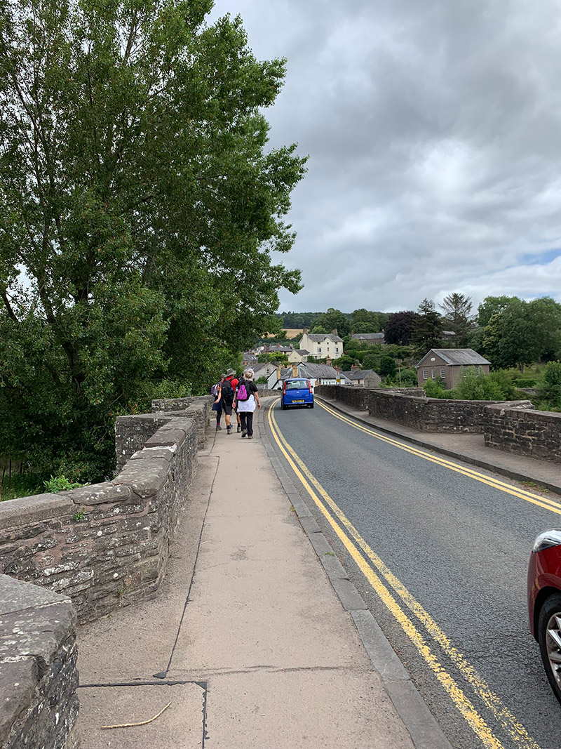
Out of the woods and the farmland, you follow the lane back, through Llangattock again, through the field with the path heading towards the traffic lights, then back over the bridge and back.
That’s it, you’re all done, back at the car and hopefully the weather has been good, and you have had a great experience.
It is worth downloading this route onto the Outdooractive app, it’ll re-assure you time wise and that you’re not heading in the wrong directions. There is so much space up there and lots of alternative paths you could accidently join.
Hope you enjoy this walk, and I’d love it if you could share this post either with the social media buttons that follow you down the screen on your left, or below in the footer. Also, comments are very welcome, I love meeting new people and talking, and you never know we could meet up on one of our walks.

Fundraising for CALM, they do save lives!
Do you want to join me in making a difference? I’m raising money in aid of Campaign Against Living Miserably and every donation will help. Thank you in advance for your contribution to this cause which means so much to me.
More information about Campaign Against Living Miserably: Campaign Against Living Miserably (CALM) is leading a movement against suicide. Every week 125 people in the UK take their own lives. And 75% of all UK suicides are male.
CALM exists to change this. Join the campaign to take a stand against suicide.
Please donate an amount you can afford, everything helps these poor people.
I have raised £572 so far, and I will keep trying to raise more.
