


Region: Tryfan, Eryri (Snowdonia) National Park, North Wales
Places To Stay: Betws-y-Coed is a popular base with shops and places to eat, while Capel Curig or Ogwen Valley give quicker access to Tryfan. Tryfan is remote – book early: Stay in Snowdonia | Find Ogwen Valley stays.
Tryfan is one of the most distinctive and exhilarating mountains in Wales. Rising sharply above the Ogwen Valley in Eryri National Park, its jagged ridges, enormous boulders and rocky towers make it look completely different from the smoother, grass-covered peaks found elsewhere in the Welsh mountains.
This south-to-north route is a short but serious mountain adventure, combining steep climbing, sustained Grade 1 scrambling, exposed ground and demanding route-finding. There is no gentle path to the summit and very little opportunity to switch off: hands are needed regularly, the rocks can be slippery, and several sections have significant drops close by. The reward is an unforgettable journey through the heart of the Glyderau, culminating at Tryfan’s famous summit stones, Adam and Eve. This is a route for experienced hillwalkers and confident scramblers with a good head for heights, not beginners looking for an ordinary mountain walk.
Looking for more mountain adventures in Eryri? If Tryfan has given you the bug for scrambling and rugged mountain days, my Best Routes Up Yr Wyddfa (Snowdon) guide compares all six main paths to the summit, helping you choose the right route for your experience and the type of day you’re looking for. Whether you want the classic Pyg Track and Miners’ Track circular, the quieter Rhyd Ddu Path, the gradual Llanberis Path, the underrated Snowdon Ranger Path or the challenging Watkin Path, you’ll find detailed route guides, GPX downloads, maps and practical advice to help you plan your next adventure in Eryri.
Below are a 3 ideas for trips and tours available in Eryri, GetYourGuide offer great discounts and availability + Many more!
Looking for Cheap Flights? Try the Skyscanner Flight Checker Below.
This is how I find my ‘Flight Tickets‘, I fly when the price suits my budget.
Getting There: Directions, GPX and App Link
- Start point: National Trust parking near Ogwen Cottage (postcode: LL57 3LZ)
- Google Maps: Tryfan South Ridge trailhead (West End of Llyn Ogwen)
- GPX: Download the GPX file here for use on your GPS device or watch
- You can also follow and save this route via my Outdooractive and Komoot profiles
- Avoid the early start – find accommodation in the Ogwen Valley
Hike Profile
- Distance: 3.3m / 5.3km
- Duration: 3 – 4 hours
- Highest point: 3,009ft / 917m
- Difficulty: Challenging – Grade 1 scramble, exposed, and very rocky
- Route conditions: Scrambling and hands-on climbing in places – not a walk for beginners

Sim Local can reduce or even eliminate your roaming fees. Click www.simlocal.com/ + 10% Discount Using – ‘WELSHMAN’
Hike Description
The Tryfan south-to-north route begins near the western end of Llyn Ogwen, using the National Trust parking close to Ogwen Cottage. From the roadside, Tryfan’s steep and broken outline dominates the view ahead, providing an immediate sense of the challenge to come. Although this route is only around 3.3 miles long, the rough terrain, continuous scrambling and complex descent mean it should never be judged by distance alone.
After leaving the parking area, follow the path away from the A5 and towards the lower slopes of the Glyderau. Within the first few minutes, the trail divides. Take the left-hand branch, which climbs towards Llyn Bochlwyd rather than heading deeper into the Ogwen Valley.
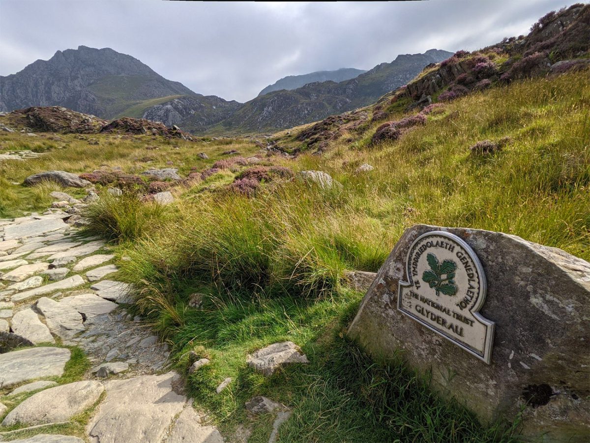
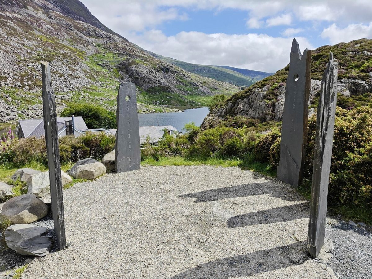
The opening section is steep but initially follows a recognisable mountain path. As height is gained, the views begin to open across Llyn Ogwen towards Pen yr Ole Wen and the Carneddau. Behind you, the road and valley floor quickly begin to feel distant, while the rocky southern face of Tryfan becomes increasingly prominent ahead.
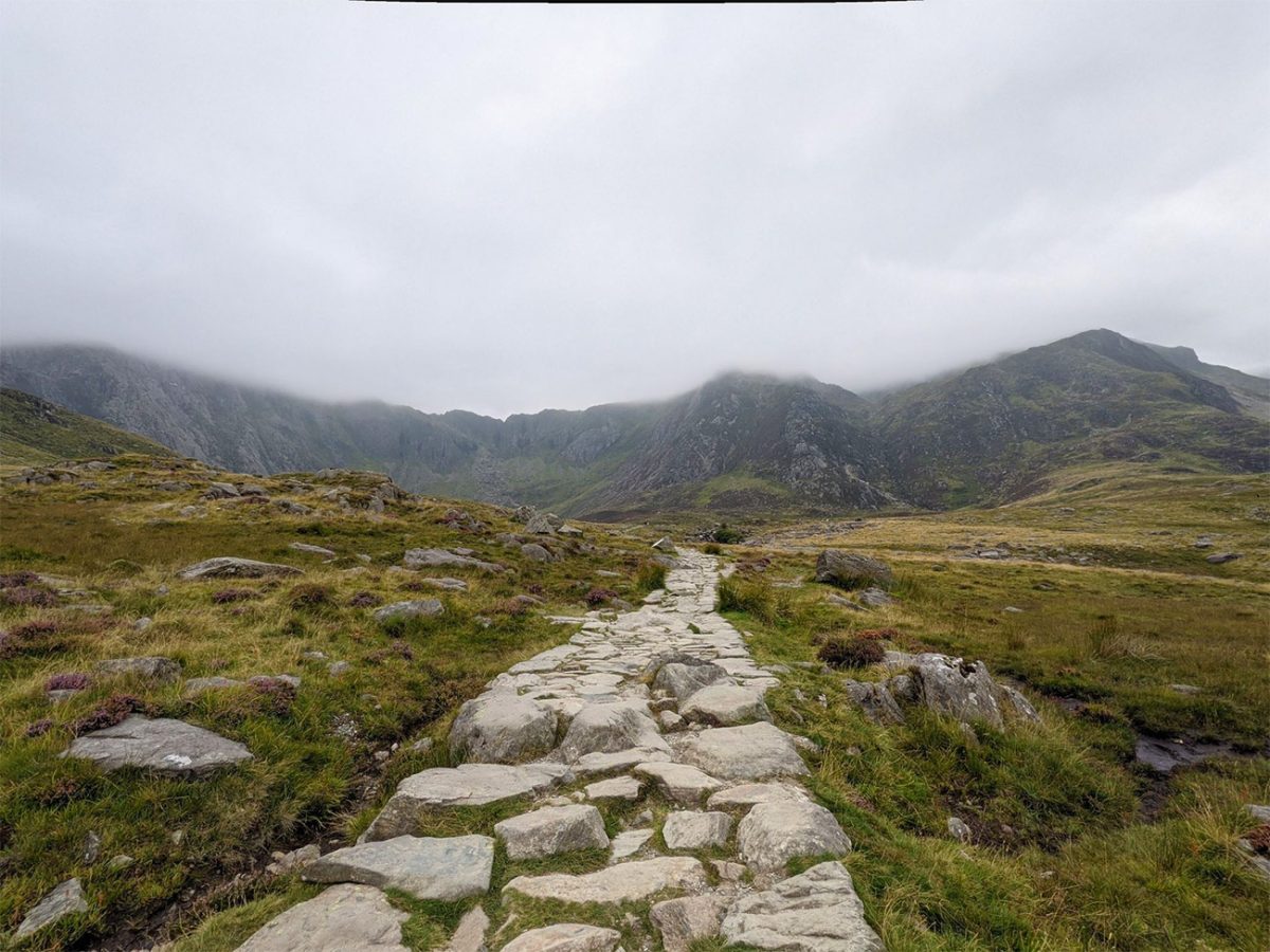
The route eventually reaches Llyn Bochlwyd, a small glacial lake lying beneath the dramatic eastern slopes of Tryfan and Glyder Fach. Keep the lake on your right and continue following the path towards Bwlch Tryfan. This section provides a short pause from the most demanding scrambling, although the ground remains rocky and uneven.
From Llyn Bochlwyd, the route climbs towards Bwlch Tryfan, the mountain pass separating Tryfan from Bristly Ridge and Glyder Fach. The scenery becomes increasingly rugged, with steep crags rising on both sides and extensive views opening back towards the Ogwen Valley.
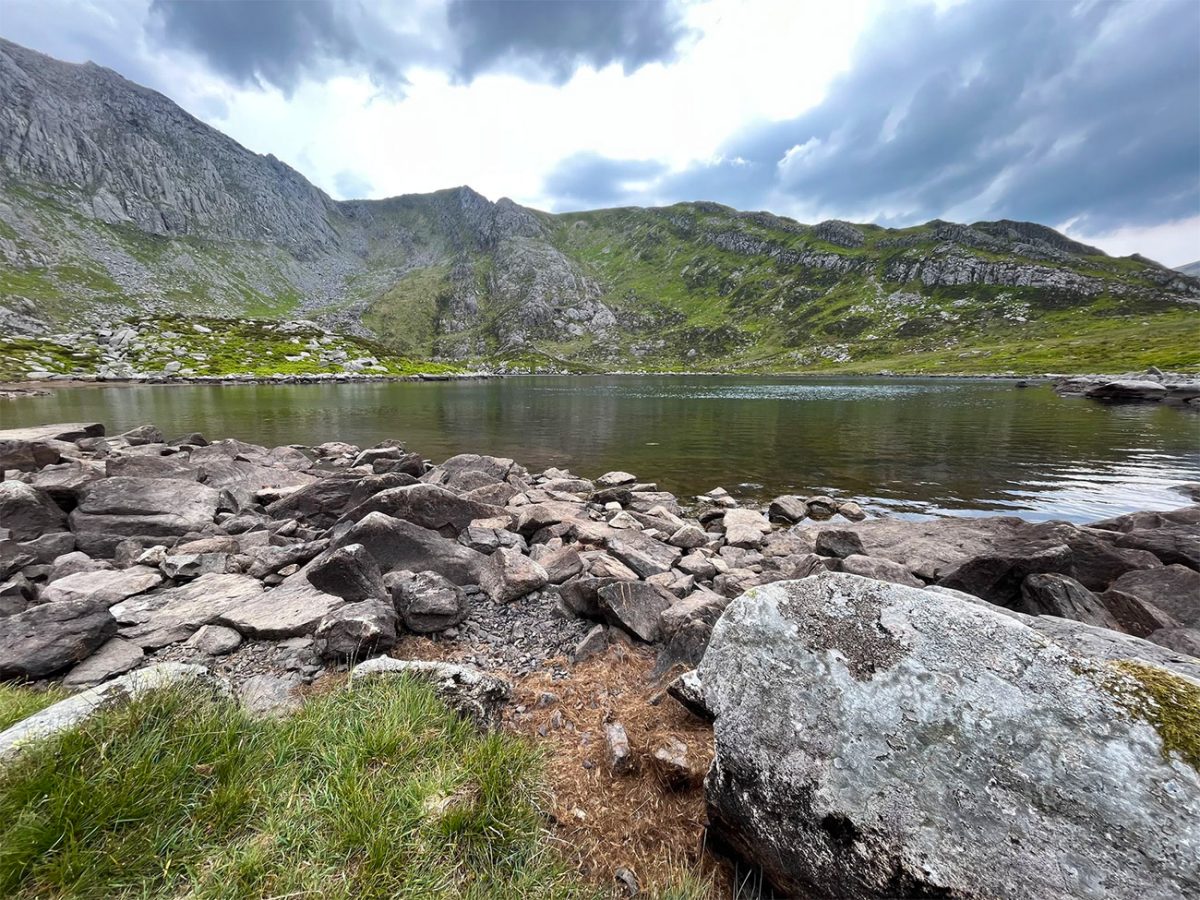
At Bwlch Tryfan, turn towards the south ridge of Tryfan. From this point onward, the route becomes much more hands-on. There is no single, clearly defined walking path across the upper mountain. Instead, progress involves choosing a safe line through boulders, rocky steps, slabs and short scrambling sections.
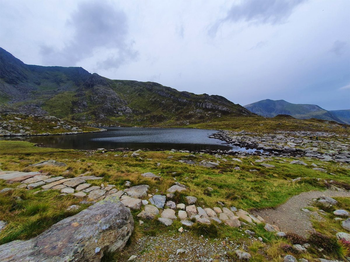
The south ridge is generally regarded as the more manageable approach to Tryfan’s summit, but that does not make it easy. You will need to use your hands frequently, test holds carefully and make decisions about the safest route ahead. Several lines may appear possible, and some lead towards steeper or more exposed terrain than others.
The safest approach is usually to remain close to the broad crest of the ridge while avoiding gullies and steep ground that cannot be easily reversed. Regularly look behind you so that you understand the terrain in case you need to retreat. In cloud, the lack of a clear path can make route-finding considerably more difficult.
As you climb, the views become increasingly impressive. Llyn Bochlwyd lies below, with Llyn Idwal, the Ogwen Valley and the Carneddau visible beyond. Across the valley, Y Garn and the main Glyderau ridge provide a dramatic mountain backdrop.
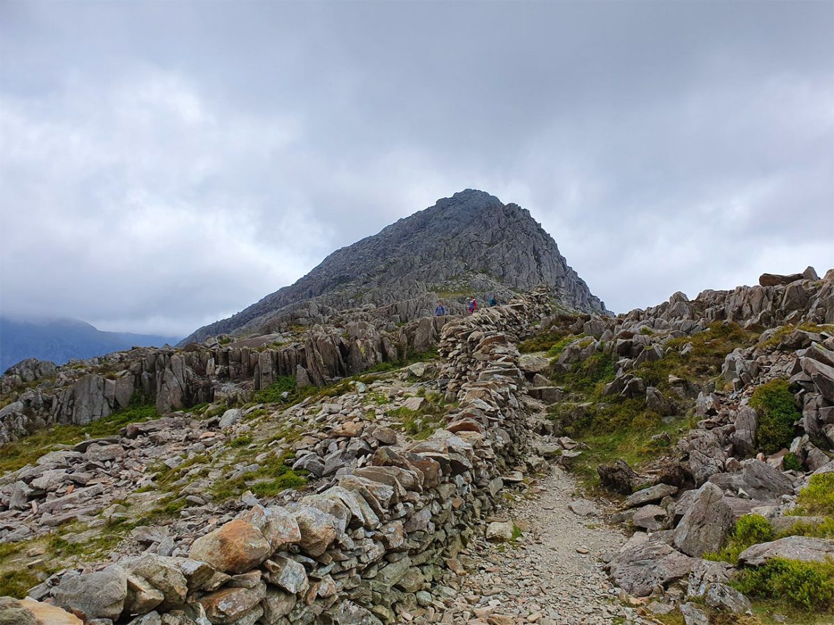
The scrambling continues over increasingly large boulders and rocky towers towards Tryfan’s south summit. Progress can be slow, particularly when the rock is wet or when other groups are using the same narrow sections. Loose stones can also be dislodged by walkers above, so it is sensible to maintain space between groups and avoid standing directly below anyone who is climbing.
Beyond the south summit, the route crosses more broken ground towards Tryfan’s main summit. There are several short descents and further rocky steps, meaning the challenge does not end when the highest ridge is first reached.
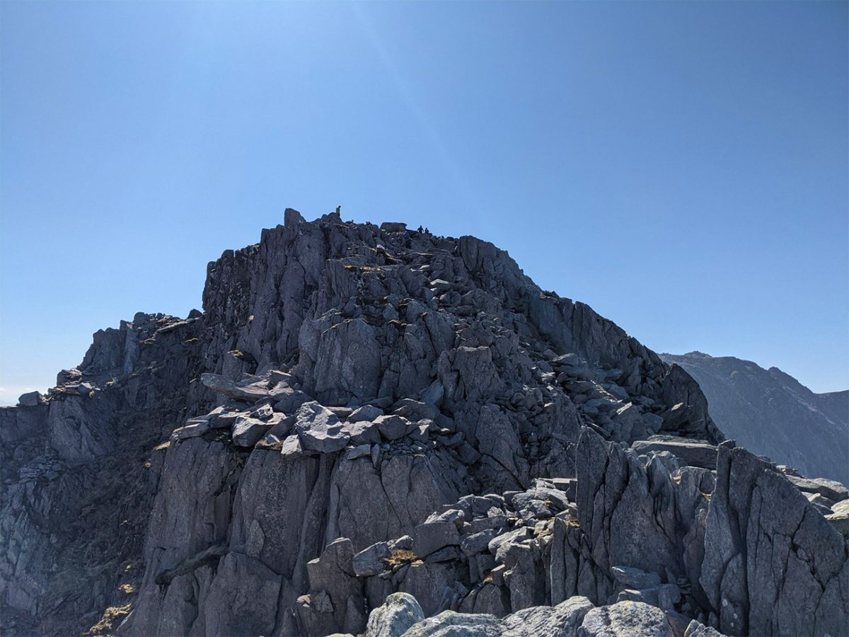
The summit of Tryfan stands at 917 metres and is marked by the two famous monoliths known as Adam and Eve. According to local tradition, anyone who jumps between the stones earns the Freedom of Tryfan. The leap is entirely optional and carries an obvious risk, particularly in wet, windy or crowded conditions. Reaching the stones is achievement enough.
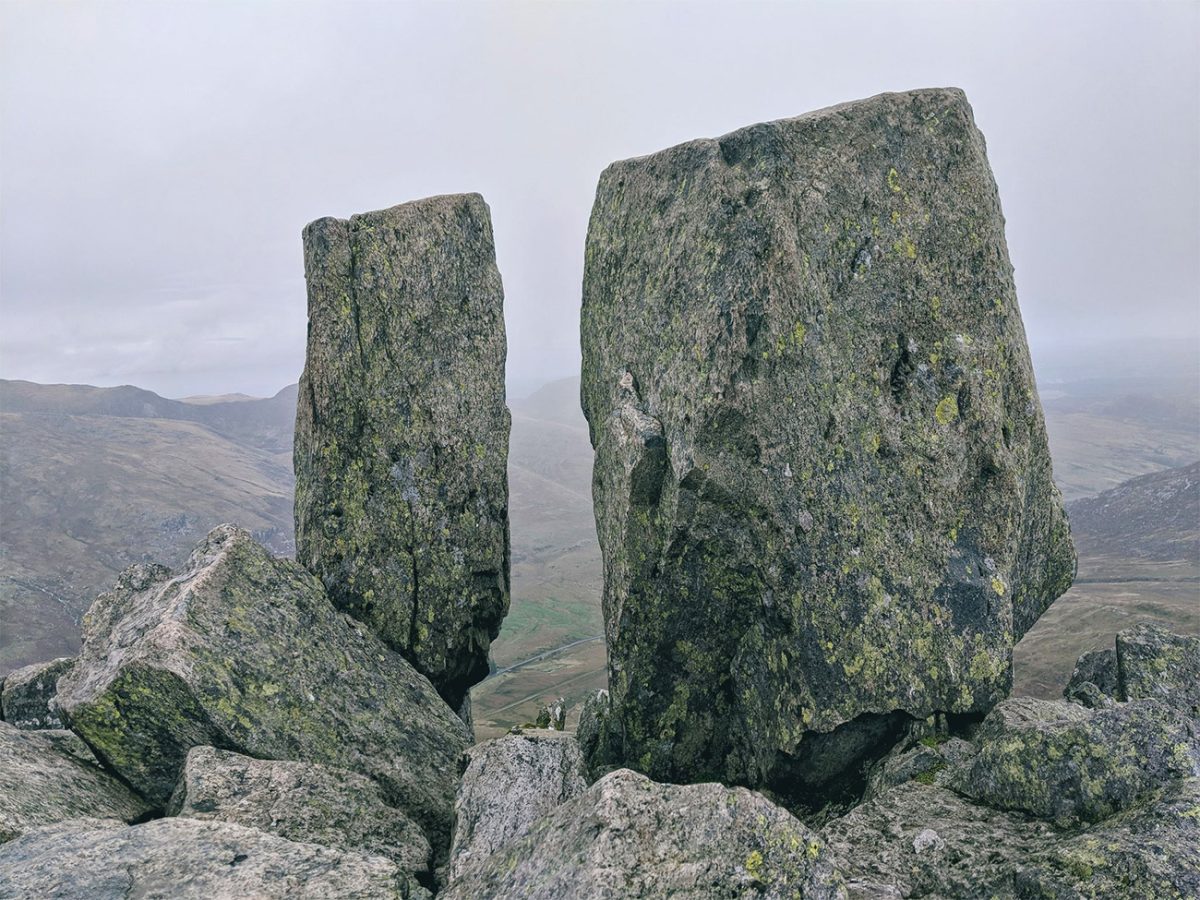
On a clear day, the summit offers exceptional views across the Glyderau, the Ogwen Valley and the wider mountains of Eryri. The landscape feels wild and uncompromising, with deep valleys, rocky ridges and glacial lakes stretching out in every direction.
The descent west from the summit is one of the most serious parts of the route. It involves steep down-climbing over boulders, slabs and rocky steps, often without an obvious path. Features that felt manageable when climbing upwards can appear much more intimidating when viewed from above.
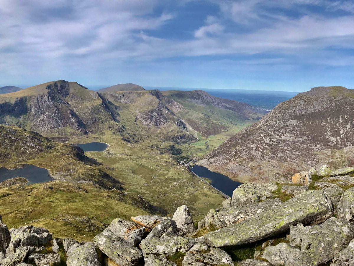
Take time to identify each move before committing to it. Face into the rock where necessary, maintain three points of contact and avoid jumping between boulders. If a section appears too difficult to reverse safely, look for an alternative line rather than forcing the descent.
The northern and western side of Tryfan contains numerous gullies, ledges and rocky towers. It is easy to drift away from the safest line, especially in cloud, and several routes lead towards much steeper ground. Good navigation, careful observation and patience are essential.
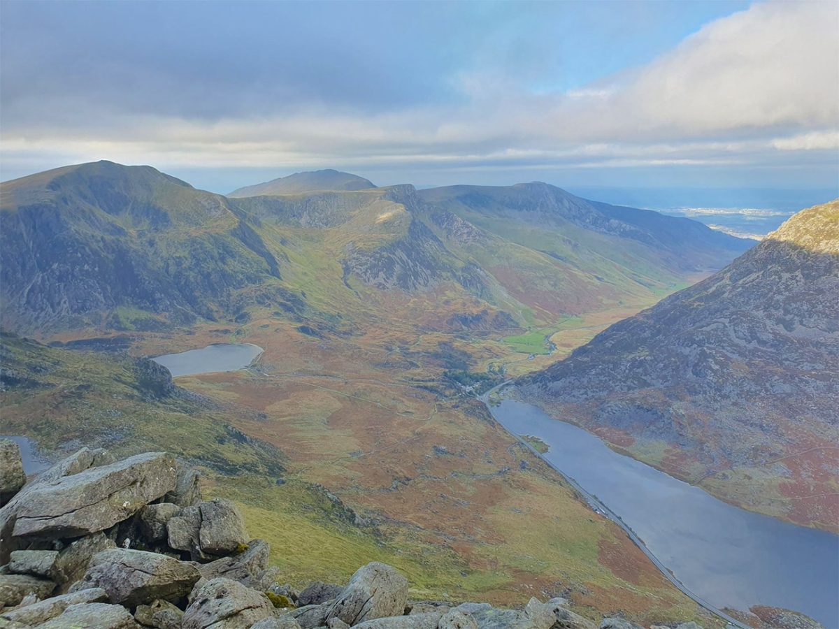
Some walkers choose to descend by retracing the south ridge, while others use routes leading towards the Heather Terrace. Heather Terrace can offer a less direct alternative around the eastern side of the mountain, but it should not be described as an easy escape route. It remains rough, exposed and difficult to locate in poor visibility.
Whichever descent is chosen, concentration must be maintained until you are completely clear of the mountain. Many incidents happen during the descent when walkers are tired, the weather has deteriorated or a poor route choice leads them onto steep ground. Ogwen Valley Mountain Rescue regularly responds to incidents involving walkers who become lost or stranded on Tryfan.
Once below the main rocky ridge, the terrain gradually becomes less technical. Continue descending towards the lower paths and the Ogwen Valley, eventually returning to the A5 and the starting area near Ogwen Cottage.
Tryfan should only be attempted in suitable weather. High winds, heavy rain, low cloud, ice or snow can transform the route into a much more serious mountaineering challenge. Mobile phone coverage may be unreliable, and rescue access is difficult. Carry a paper map and compass alongside a GPS device or downloaded GPX route, and be prepared to turn around if the conditions or terrain exceed your experience.
This is not a mountain to rush or underestimate. It is a compact but intensely physical route that demands scrambling ability, careful route selection and complete concentration. For experienced walkers who approach it with respect, however, Tryfan provides one of the most memorable mountain days in Wales.

Walk this route yourself in 3D!
The video is a 3D walkthrough of this route; it’ll give you a great idea of what to expect before you set foot on the mountain.
I’ve created 3D videos of my walks and shared them with the Outdooractive and Welsh Man Walking communities.
Tryfan South to North Route, Ogwen Valley, Eryri (Snowdonia) – 3D Walkthrough
Tryfan FAQs
Is Tryfan dangerous?
Do I need ropes to climb Tryfan?
Is Tryfan suitable for beginners?
How long does the Tryfan south-to-north route take?
Can I take my dog on Tryfan?
What equipment do I need for Tryfan?
What is the safest way down from Tryfan?
Where can I park for the Tryfan route?
Where are the nearest toilets to Tryfan?
Can I climb Tryfan in winter?

AllTrails: Trail Guides & Maps for Hiking, Camping, and Running | AllTrails ‘Plus’ 30% OFF – Read my ‘Full Review‘ for more details.

Water-to-Go Named Best Water Bottle for Travel. Click https://watertogo.eu and get 20% off using code: ‘WMW20’