

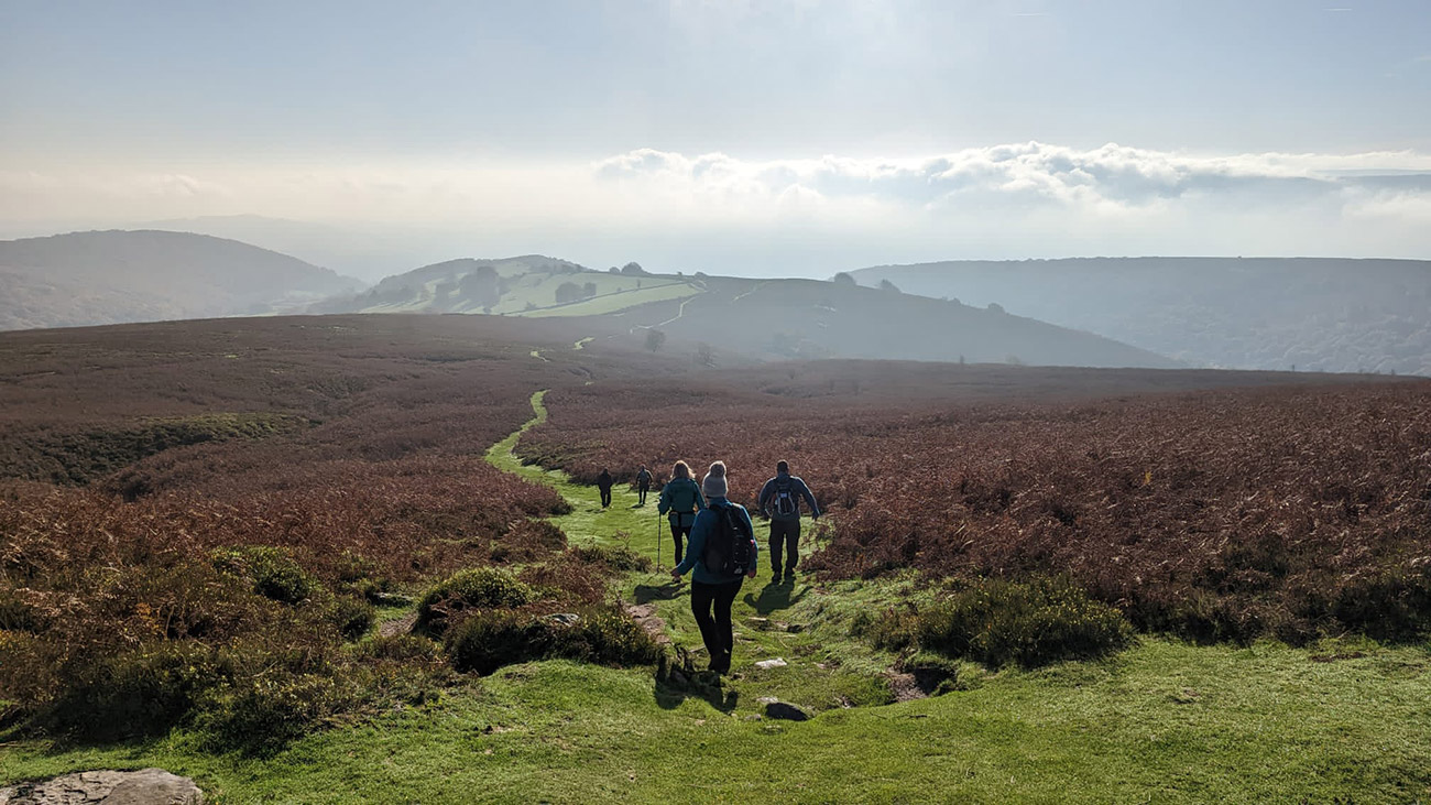
Region: South Wales — Black Mountains, Bannau Brycheiniog (Brecon Beacons) National Park, Wales
This Sugar Loaf circular walk from Abergavenny starts near the cricket club on Avenue Road and climbs from the town through lanes, farmland and woodland before reaching the open mountain. The return descends from the summit, cuts back through the fields and rejoins the outward route for a straightforward finish.
At approximately 11 km (7 miles), this is a rewarding half-day route with a varied approach rather than a quick climb from one of the higher car parks. You get the satisfaction of walking from Abergavenny, passing through several different landscapes and reaching the 596-metre summit with its far-reaching views across South Wales.
Sugar Loaf was the first mountain I regularly climbed. For a long time, it was my Sunday-morning walk, gradually giving me the confidence and equipment to explore farther afield. It remains one of my favourites because there are so many ways to reach the summit. This version takes my gentler approach uphill and a shorter return through the farmland.
Abergavenny is surrounded by three distinctive mountains: Sugar Loaf, the Blorenge and the Skirrid. This guide concentrates on Sugar Loaf, with the complete route, parking information, map and free GPX below.
Sugar Loaf Circular Walk: Route at a Glance
- Start and finish: Avenue Road beside Abergavenny Cricket Club
- Distance: Approximately 11 km (7 miles)
- Time: Around 2.5–3 hours, allowing longer for stops
- Highest point: Sugar Loaf summit, approximately 596 metres
- Difficulty: Moderate, with two strenuous sections and some uneven or muddy ground
- Route type: Circular walk from Abergavenny via Pentre Road, farmland, woodland and the Cambrian Way
Jump to the map and GPX | Jump to the route guide
Sugar Loaf Parking, Directions, Map and GPX
This route begins in Abergavenny rather than at the higher National Trust car park. I normally park on Avenue Road alongside the cricket club, leaving the spaces closest to the houses clear. Parking conditions and restrictions can change, so check the signs when you arrive and park considerately.
- Parking: Avenue Road, running alongside Abergavenny Cricket Club. Open the location in Google Maps.
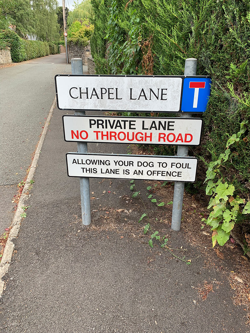
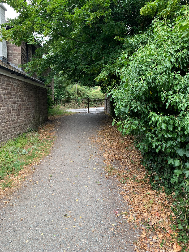
- Starting the walk: Walk into Chapel Lane, pass through the metal swing gate and turn right onto Pentre Road.
- Outdooractive route: Open and follow my Sugar Loaf route.
- GPX: Download my free Sugar Loaf GPX file.
Navigation aids
Sugar Loaf Hike Profile
- Distance: Approximately 7 miles / 11 km
- Duration: Approximately 2.5–3 hours without lengthy stops
- Highest point: Approximately 1,955 ft / 596 m
- Difficulty: Moderate. The walk includes a sustained lane ascent and a steeper final summit climb.
- Terrain: Surfaced lanes, farmland, woodland, stony tracks, open mountainside and worn summit paths
Sugar Loaf Circular Walking Route
Stage 1: Avenue Road to Pentre Road
I start beside Abergavenny Cricket Club on Avenue Road. It is only a short walk from here to the lane beginning the climb towards Sugar Loaf. Because this is a residential street, avoid blocking entrances and leave plenty of room for residents.
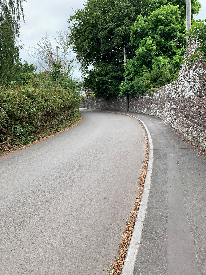
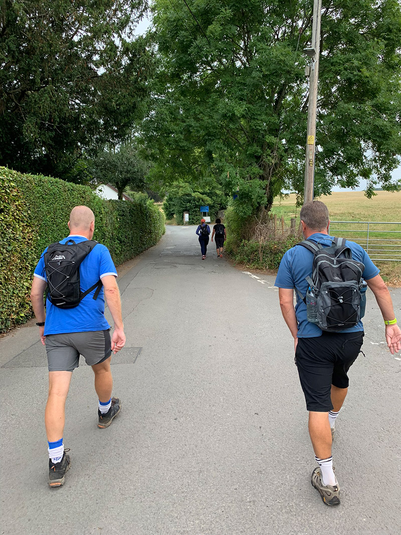
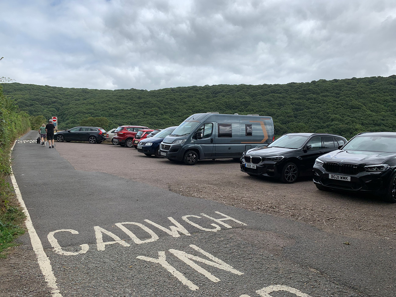
Walk into Chapel Lane and pass through the gate leading onto Pentre Road. Turn right and follow the lane uphill towards the small car park. The lane is narrow and vehicles regularly use it, so keep alert and step safely aside when required. Tree cover provides some shelter on wet or particularly sunny days.
Although this is my gentler route up Sugar Loaf, it is not effortless. The sustained walk up Pentre Road is the first strenuous section; the final ascent to the summit is the second.
Stage 2: Through the Farmland and Woodland
At the small car park, the road continues ahead, but this route turns into the narrow lane on the left. Follow it gently uphill to a farm gate with properties on either side. Close every gate behind you because sheep and other livestock graze throughout this area.
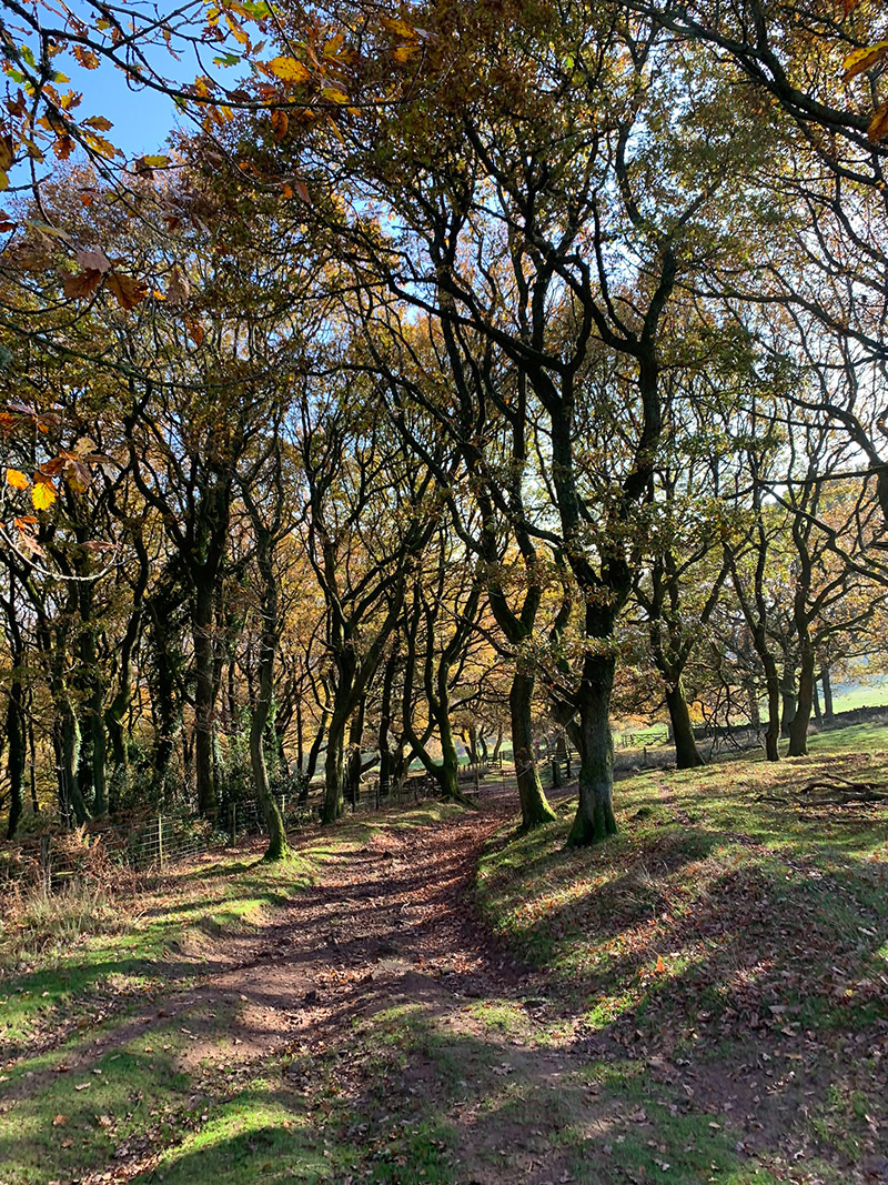
Opposite the second house on the right, take the enclosed green lane appearing on the left. This becomes the path through farmland and woodland towards the mountain. It can be muddy after rain and contains loose, uneven stones, so place your feet carefully and wear footwear with reliable grip.
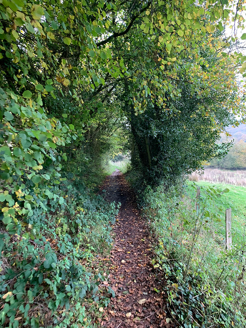
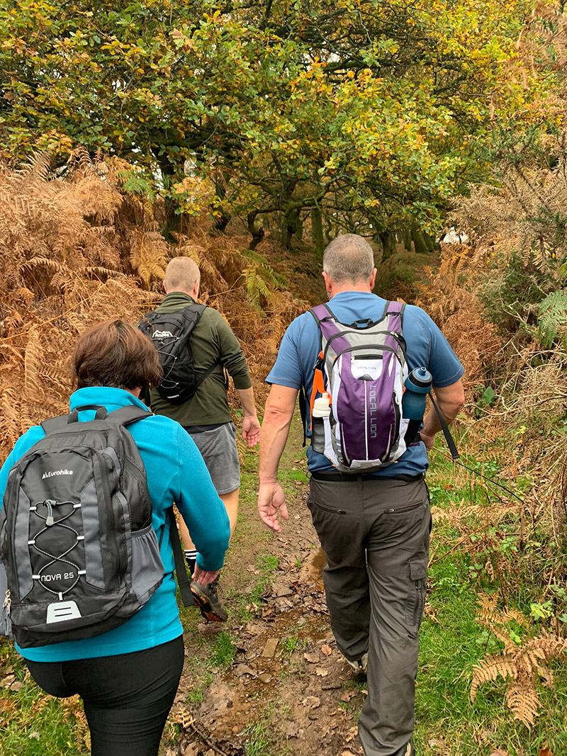
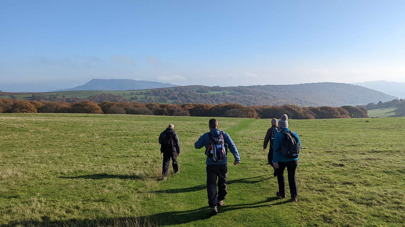
Beyond the lower farmland, the enclosed path and high hedges gradually give way to open fields dotted with individual trees. Continue through the gates and generally keep ahead and to the right at path divisions. Sugar Loaf is often visible on your right, but use the map or GPX rather than relying on sight alone—particularly in low cloud.
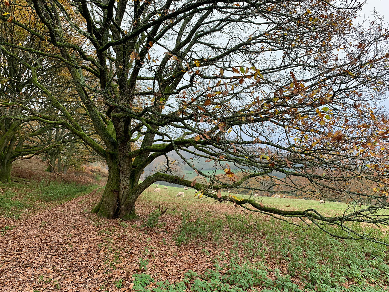
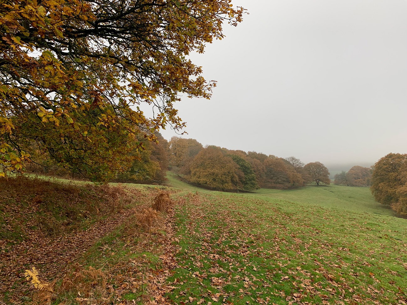
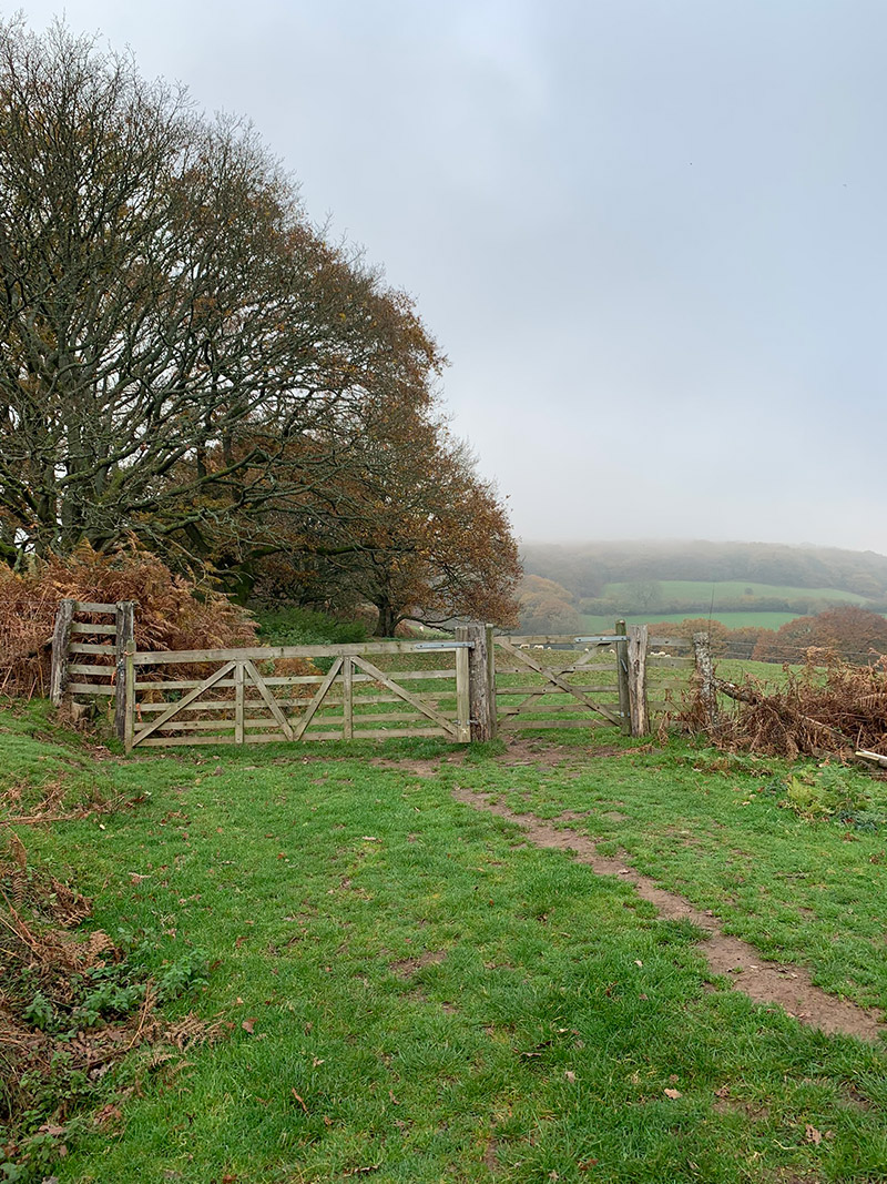
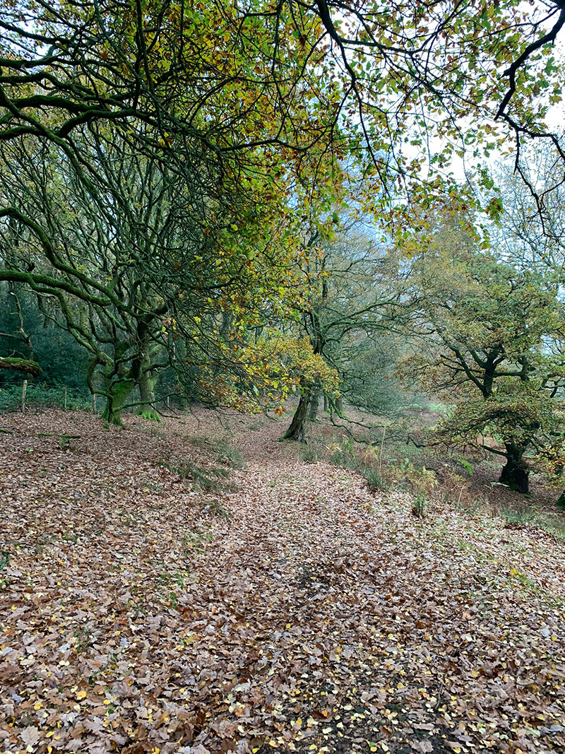
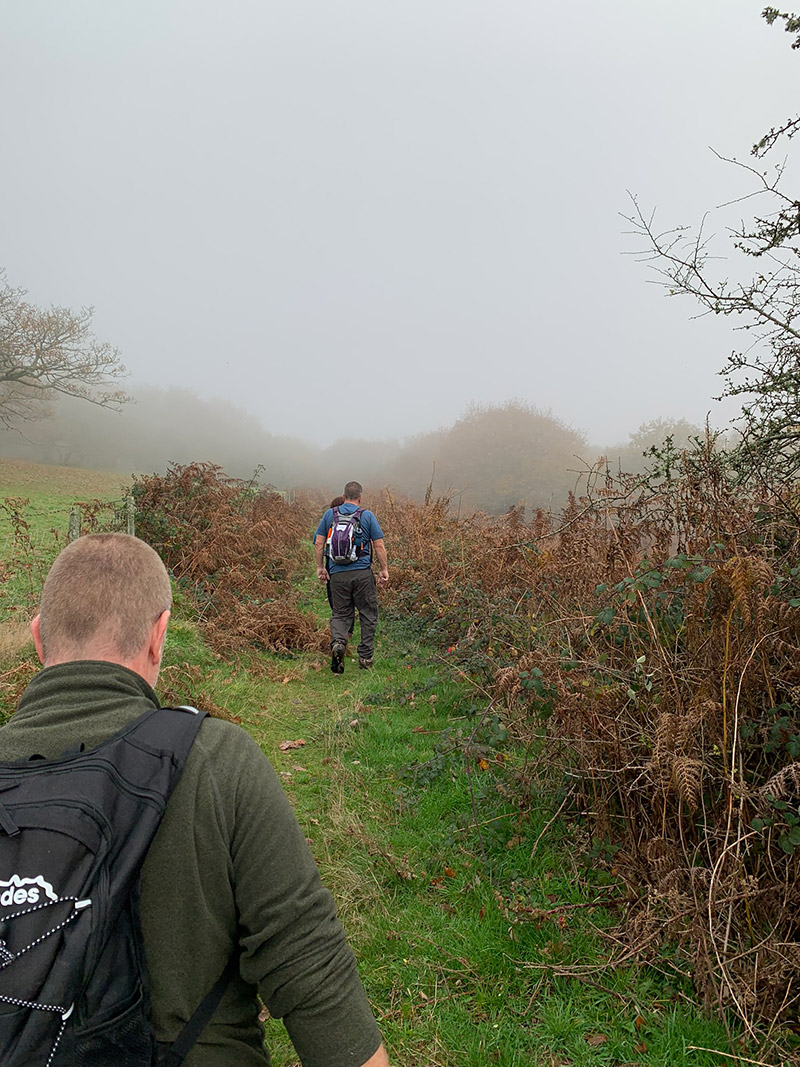
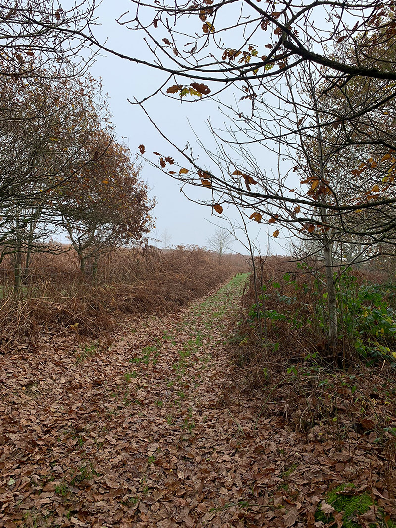
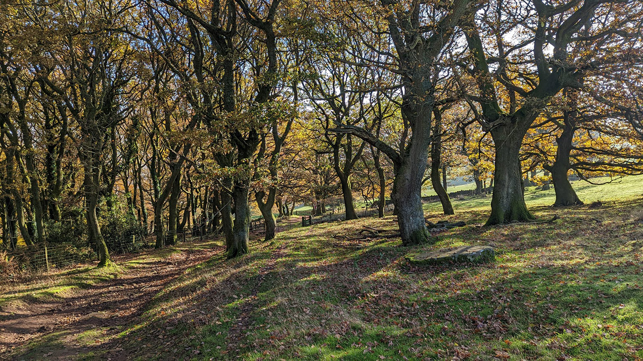
By now, the route has passed from the lane into enclosed paths, open farmland, woodland and several small stream crossings. The trees gradually thin as the landscape changes into open mountain terrain. Pass through the final gate to begin the approach to Sugar Loaf itself.
Stage 3: The Cambrian Way and Sugar Loaf Summit
In clear weather, the summit should now be visible to the left, although the path initially leads slightly away from it. Continue parallel to the mountain until meeting a path running from left to right. This is part of the Cambrian Way and leads towards the summit approach. Resist cutting directly through the bracken: remaining on the established paths is easier, safer and kinder to the landscape.
As the path begins to climb, take the established route turning towards the summit. It curves around the mountain before making the final ascent. Sugar Loaf is extremely exposed, and the summit can be windy even when conditions in Abergavenny feel calm, so carry suitable layers and waterproofs.
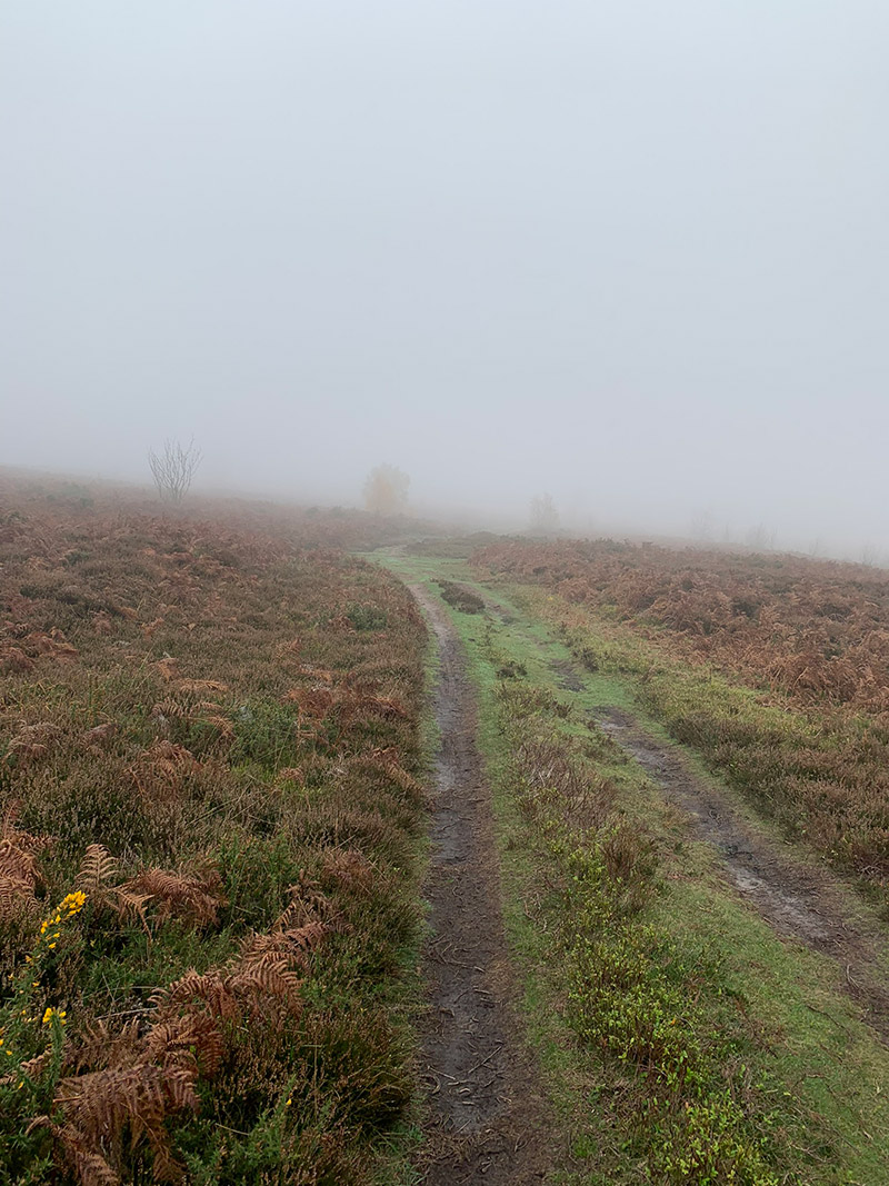
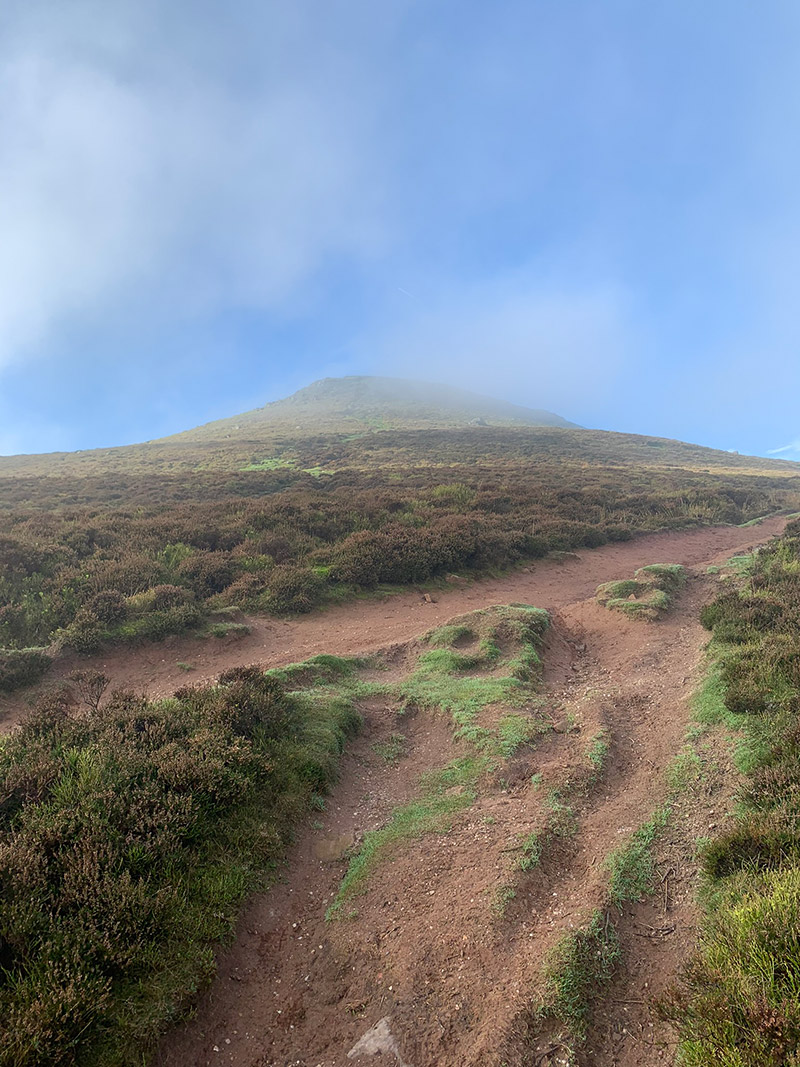
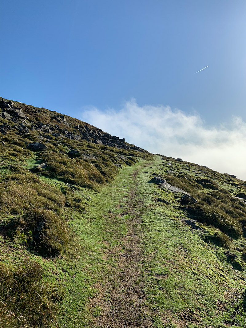
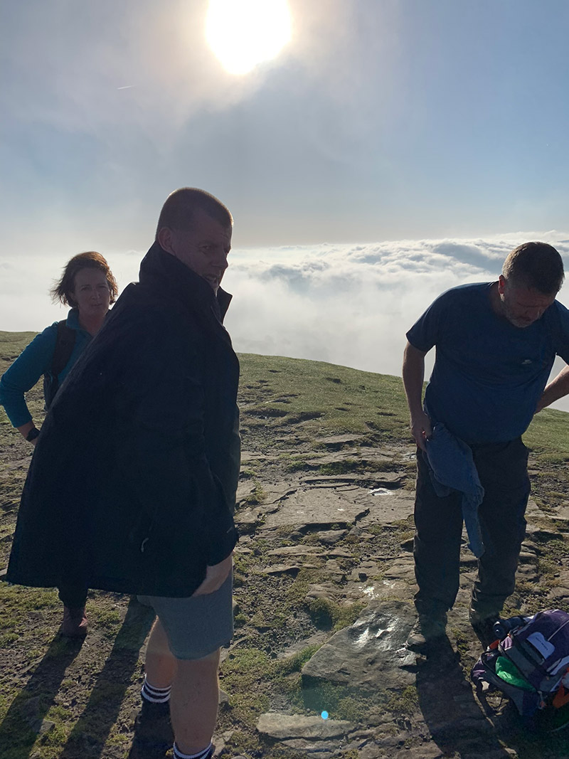
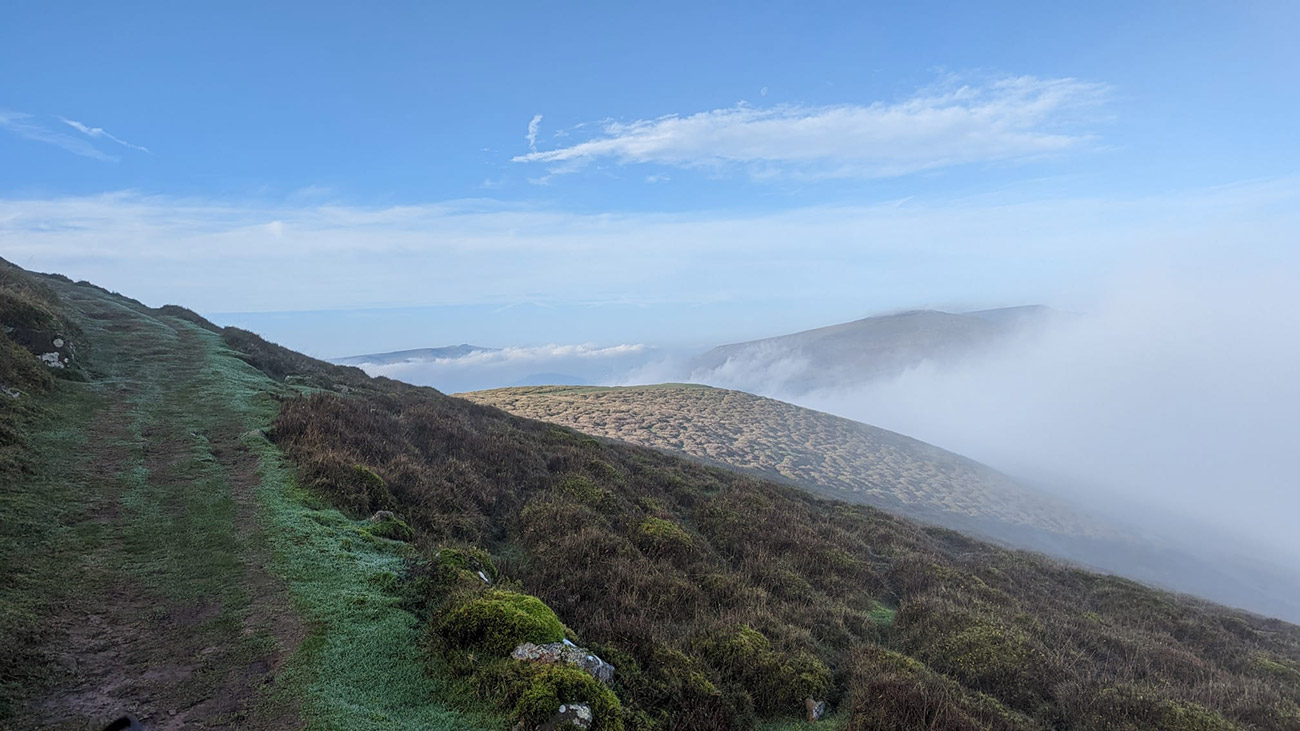
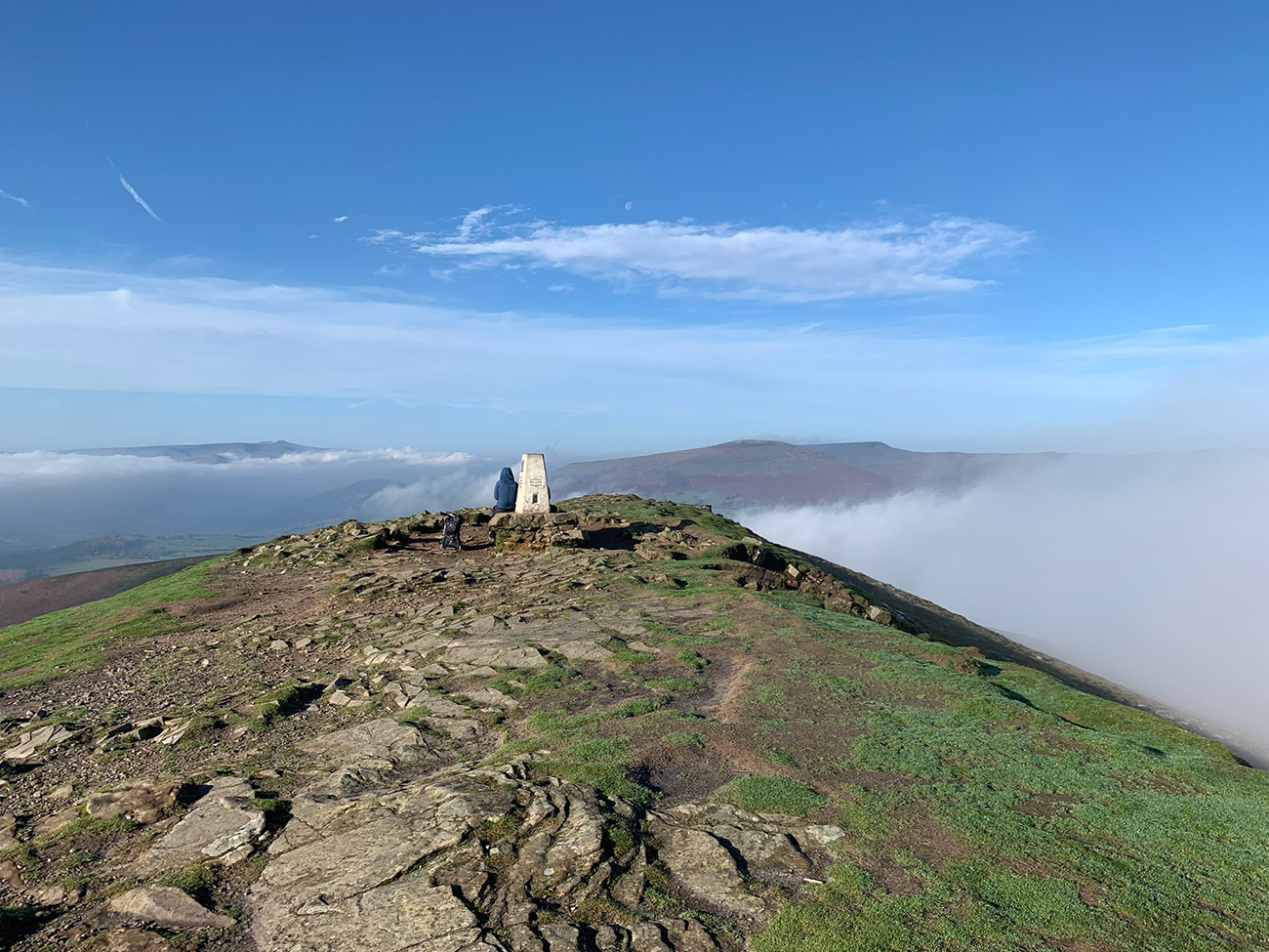
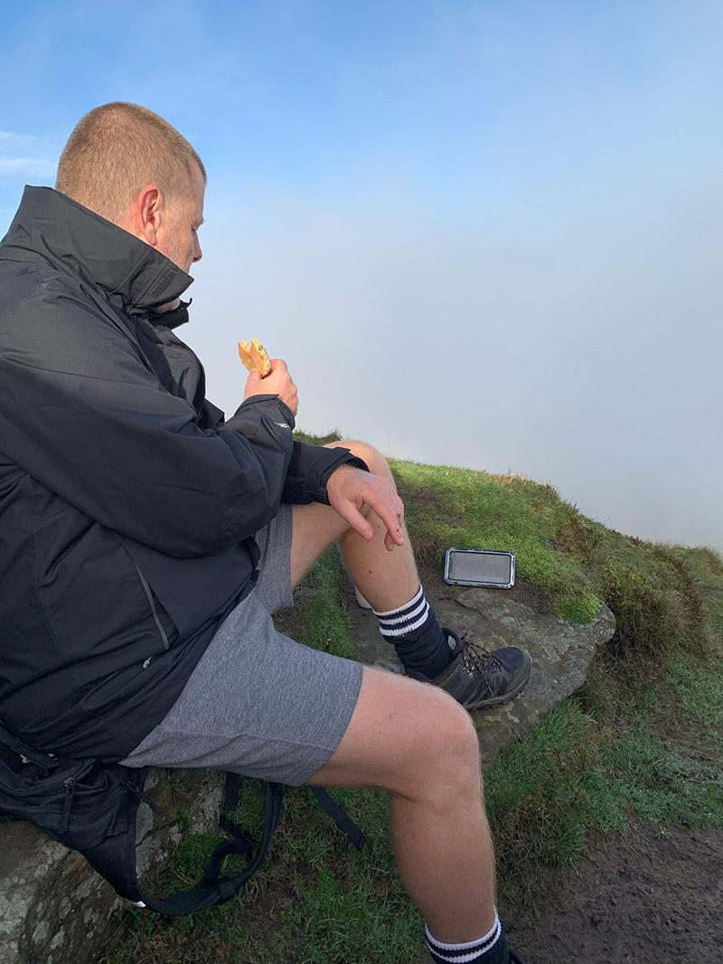
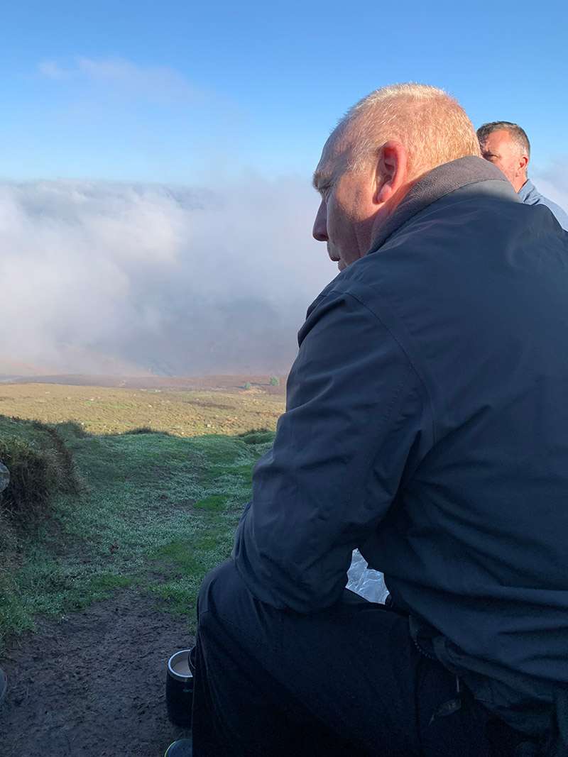
The summit is the perfect place for photographs, coffee and Welsh cakes while enjoying the 360-degree views. On a clear day, the panorama is outstanding. The top is rocky and exposed, although small sheltered hollows below the summit may provide some protection from the wind.
Stage 4: Descending and Completing the Circular Route
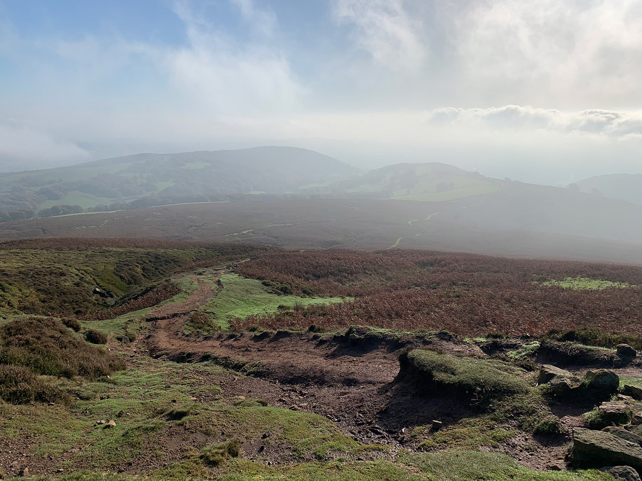
Begin the descent on the opposite side from the main approach, using the path just beyond the final summit climb. It initially descends gently to the left before becoming steeper. Heavy use has worn parts of the surface to exposed soil, which can become particularly slippery in winter or after rain.
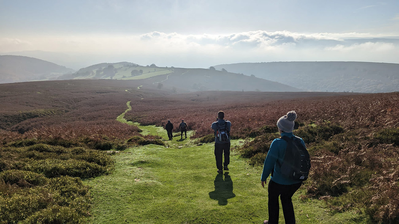
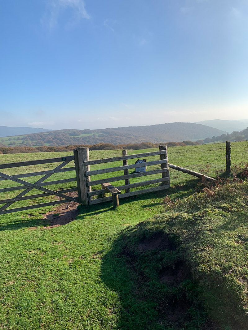
This is where the shorter return separates from longer Sugar Loaf circuits. Continue down from the summit onto the Cambrian Way and cross the small stream. Watch for a stile and farm gate appearing in the wire fence on the left. Pass through and descend across the field towards the gate at the bottom, close to the trees.
The route now rejoins the path used on the ascent. Follow it back through the fields, enclosed green lane and Pentre Road, then return through Chapel Lane to Avenue Road and the cricket club.
Keep the Outdooractive route or downloaded GPX available throughout the walk. Numerous paths cross the open mountainside, and navigation can become much less obvious when mist covers the summit.
Sugar Loaf Walk Practicalities
- Parking: Avenue Road is residential. Check local signs, avoid entrances and leave the spaces nearest homes clear.
- Facilities: There are no toilets, cafés or water points on the mountain route. Abergavenny has numerous facilities before and after the walk.
- Footwear: Wear walking boots or grippy trail shoes. The woodland stones, muddy lanes and worn summit descent can be slippery.
- Weather: Sugar Loaf is exposed and can be windy, wet or covered in cloud even when conditions are mild in town.
- Navigation: Download the GPX before starting and carry a backup map or navigation method.
- Dogs: Keep dogs under close control and use a lead around livestock. Close every gate behind you.
- Best time: The route can be walked throughout the year, but extended daylight and drier paths make spring through early autumn more straightforward.
Sugar Loaf Circular Walk FAQs
How long is the Sugar Loaf circular walk from Abergavenny?
This route is approximately 11 km (7 miles). I normally allow around 2.5–3 hours, although photography, summit stops and difficult ground can make it longer.
Where do you park for this Sugar Loaf walk?
The route starts from Avenue Road beside Abergavenny Cricket Club. It is a residential street, so check the signs, avoid driveways and park considerately away from the houses.
Is Sugar Loaf difficult to climb?
This is a moderate walk. The long lane ascent and final climb to the summit require effort, but there is no scrambling or technical climbing in normal conditions.
Is this the shortest route up Sugar Loaf?
No. Higher car parks provide shorter summit walks. This route starts lower in Abergavenny and is approximately seven miles, but its return is shorter than some of my other town-based Sugar Loaf circuits.
Can I download a Sugar Loaf walking route and GPX?
Yes. The free GPX download and Outdooractive route are provided near the top of this guide so you can save them before travelling.
What is the terrain like?
The route combines surfaced lanes, enclosed tracks, farmland, woodland, stream crossings and open mountain paths. Expect mud and loose stones after wet weather.
Is this Sugar Loaf walk suitable for families?
Active older children with experience of seven-mile hill walks may enjoy it. The distance, sustained climbing, exposed summit and lack of facilities may make it unsuitable for younger children.
Can I walk Sugar Loaf in winter?
Yes, but wet ground, strong wind, poor visibility, ice and limited daylight can make it significantly harder. Check the mountain forecast and turn back if conditions deteriorate.
I hope you enjoy the walk. If this guide helps, sharing it or leaving a comment below is a wonderful way to support Welsh Man Walking.

Walk this route yourself in 3D!
This 3D walkthrough gives you a useful preview of the route and terrain before you set out.
I create these videos to help the Outdooractive and Welsh Man Walking communities understand what to expect from each walk.
It was a great route to get to the top and highly recommended. It was never really “very” steep at any point and much better than the “tourist” trails coming up the other side which were glorified dirt trails in places with little grip.
The views were great, well worth the effort to get there.
Brilliant, glad you enjoyed it, and thank you very much for the comment, really appreciate that.
I want to thank you for this walk description. I walked up the Sugar Loaf yesterday (early September, warm, dry, clear, perfect weather) starting at the NT car park at Llanwenarth, and enjoyed very much, except for the drive up Pentre Lane to the car park, which I found very stressful in a car: the road is very narrow and has long sections with few passing places when you meet traffic coming in the other direction. Next time I do the Sugar Loaf, I must have an easier starting point to take the car to, and your directions are perfect.
Evening Stephen,
Thank you for getting in touch, really kind of you to give some feedback, and yes I agree that car park isnt the best and I have only parked there once, for the exact reasons you pointed out.
For most of the Sugar Loaf walks I park on Avenue Road away from the residents and then walk up through Chapel Lane before turning right and walking up the lane there.
This is where I park in google maps (https://goo.gl/maps/EwBsyLRXEQLL19id7).
If you need any help at anytime with the walks, get in touch, I’m more than heppay to help.
Take care
Lee