Walk this route yourself in 3D!
The Video is a 3D walk through of this route, it will give you a unique sense of having walked through the route before you start.
I have created 3D Videos of my adventures and have shared them with the OutdoorActive community as well as my walking community.
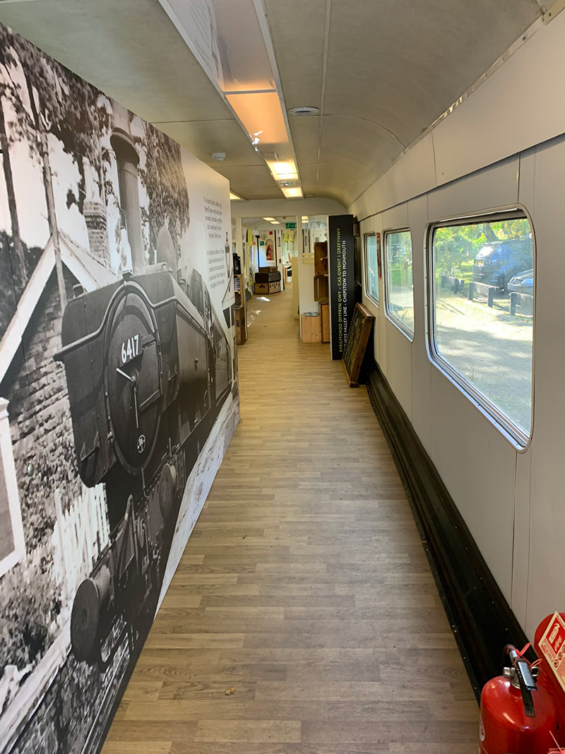
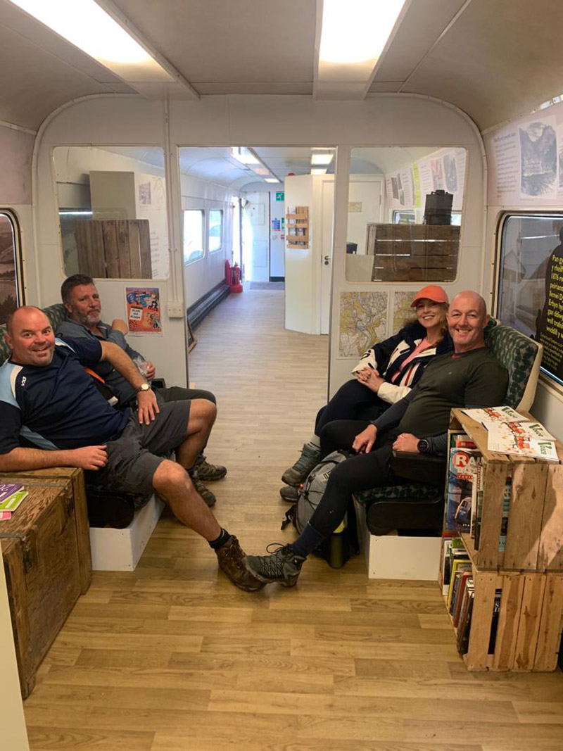
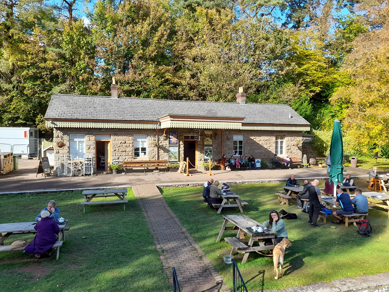
The Wye Valley Walk can be picked up at various points, and just outside Tintern there is a little gem called the ‘Old Station Tintern’ it is the perfect place to start a hike. The Old Station Tintern has a good safe car park, and then huge open areas to explore, and recently they refurbished some railway carriages which you can walk through and learn a huge amount about the local history and information. I have posted all the pics below, so you can see for yourself.
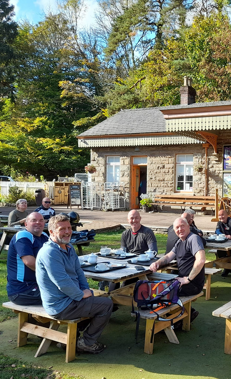
The site has held the coveted Green Flag award since 2009, making it a great hub for walkers and the perfect stop for tea and cake after.
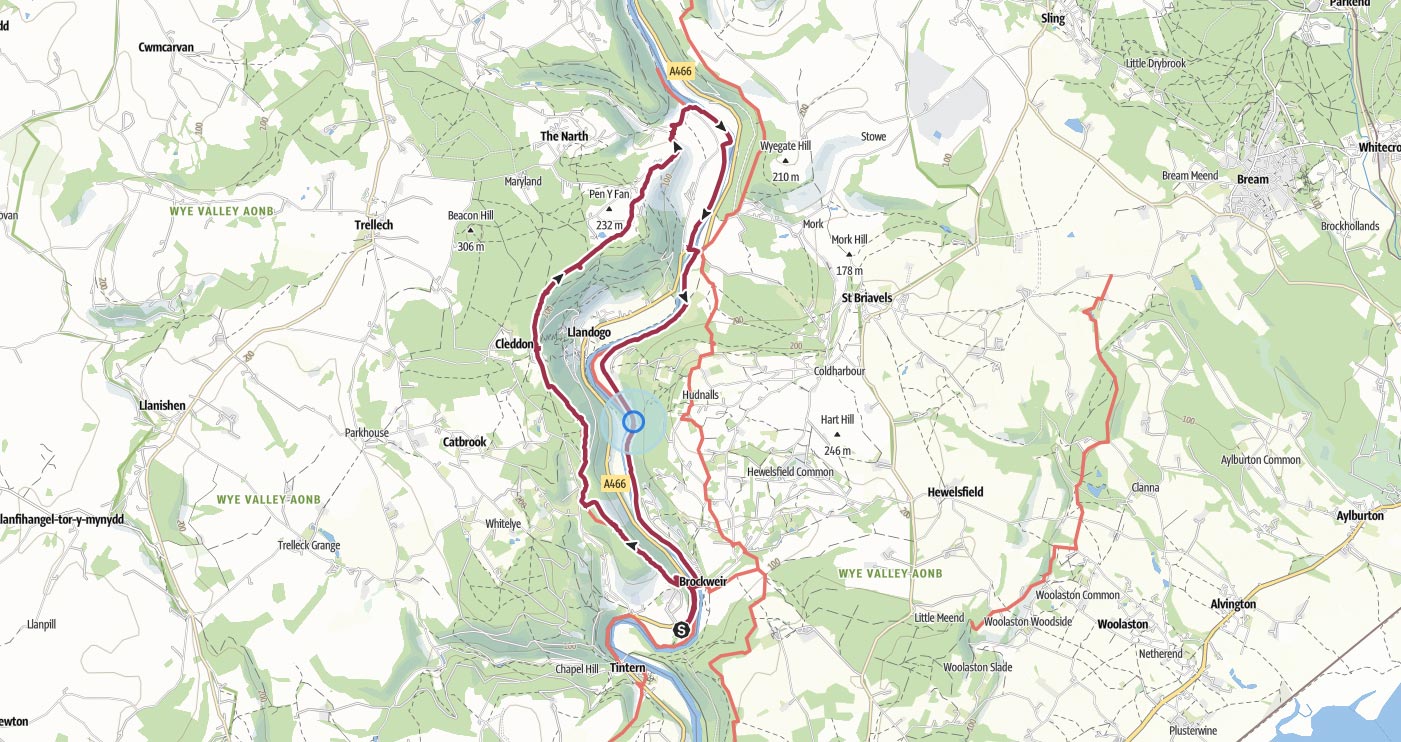
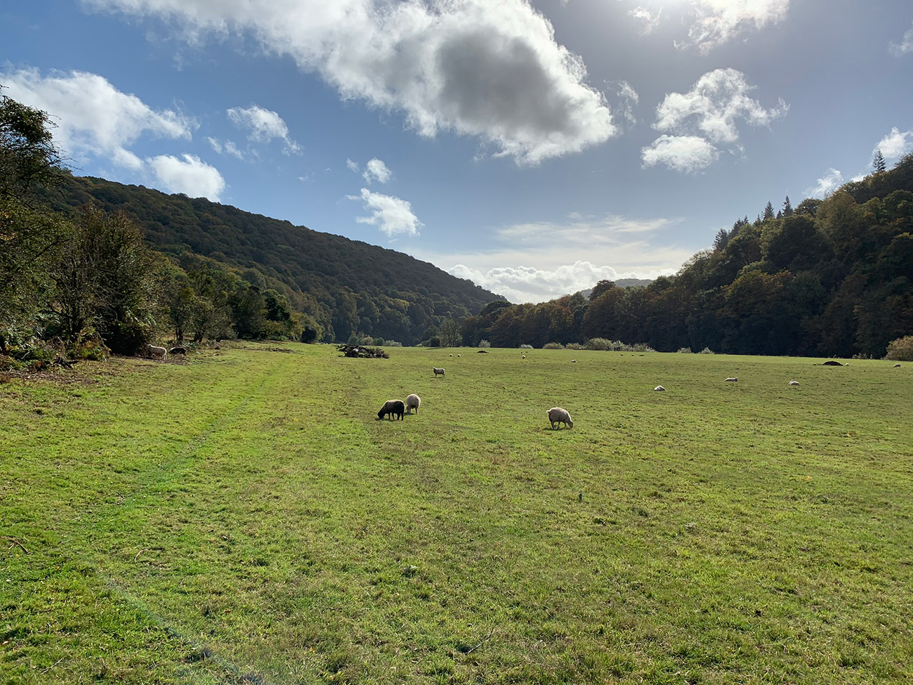
We started out in the fog, left the Old Station Tintern and hiked up to look over the Wye Valley, then along through the woods, passed by Cleddon Falls then down to the River Wye. We followed the river all the way back to Brockweir Bridge via the Offa’s Dyke Path to return to the Old Station Tintern for a coffee and bit of cake. This is a great walk, long, but well worth it.
Getting There: Directions, GPX and App Link
The Hiking app I use to plan the walks and to aslo guide me around is the ‘Outdooractive App‘, which has a free a Pro and a Pro+ version, the Pro version will allow you to download the routes to your phone, and use them without using up your data.
The reason I mention it is that if you were to download a route, they are FREE and you can find this link to this route in my hike listings. You can then follow the arrows and voice on your mobile, as most of these walks are a bit tricky to explain.
- Travelling from Monmouth or Chepstow along the A466, close to Tintern keep a look out for the ‘Old Station Tintern’ sign, the postcode is NP16 7NX, and here is the exact place in Google Maps. You will turn off the A466 and keep to the left as you head into the car park.
- The car park and Old Station grounds are open daily 9am – 5pm throughout the year.
- The Old Station Tintern tea rooms, carriages & toilets are open daily from April to October 10am – 4pm.
- From 4/11/22 – 11/12/22 the tea rooms, carriages & toilets are open Fridays, Saturdays & Sundays 10am -3pm.
Navigation Aids:
Hike Map
Hike Profile
- Distance: 11m / 18km
- Duration: 5 hours
- Highest point: 784ft / 240m
- Difficulty: Moderate (steep short climbs), sometimes loose terrain through the woods.
- Route conditions: Well-worn pathways most of the way around, good walking shoes are a must really.
Hike Description & Pics
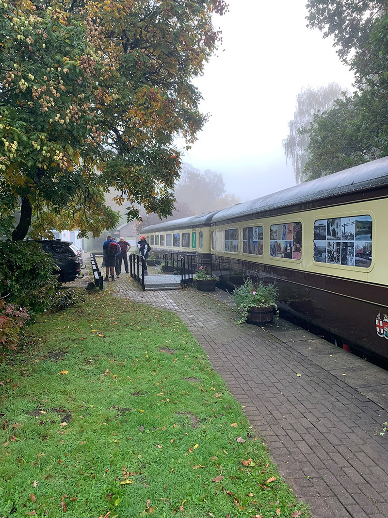
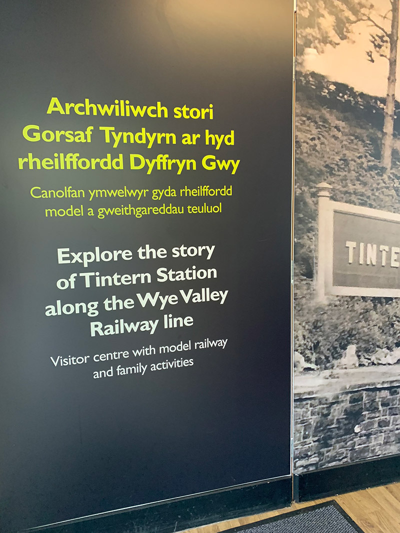
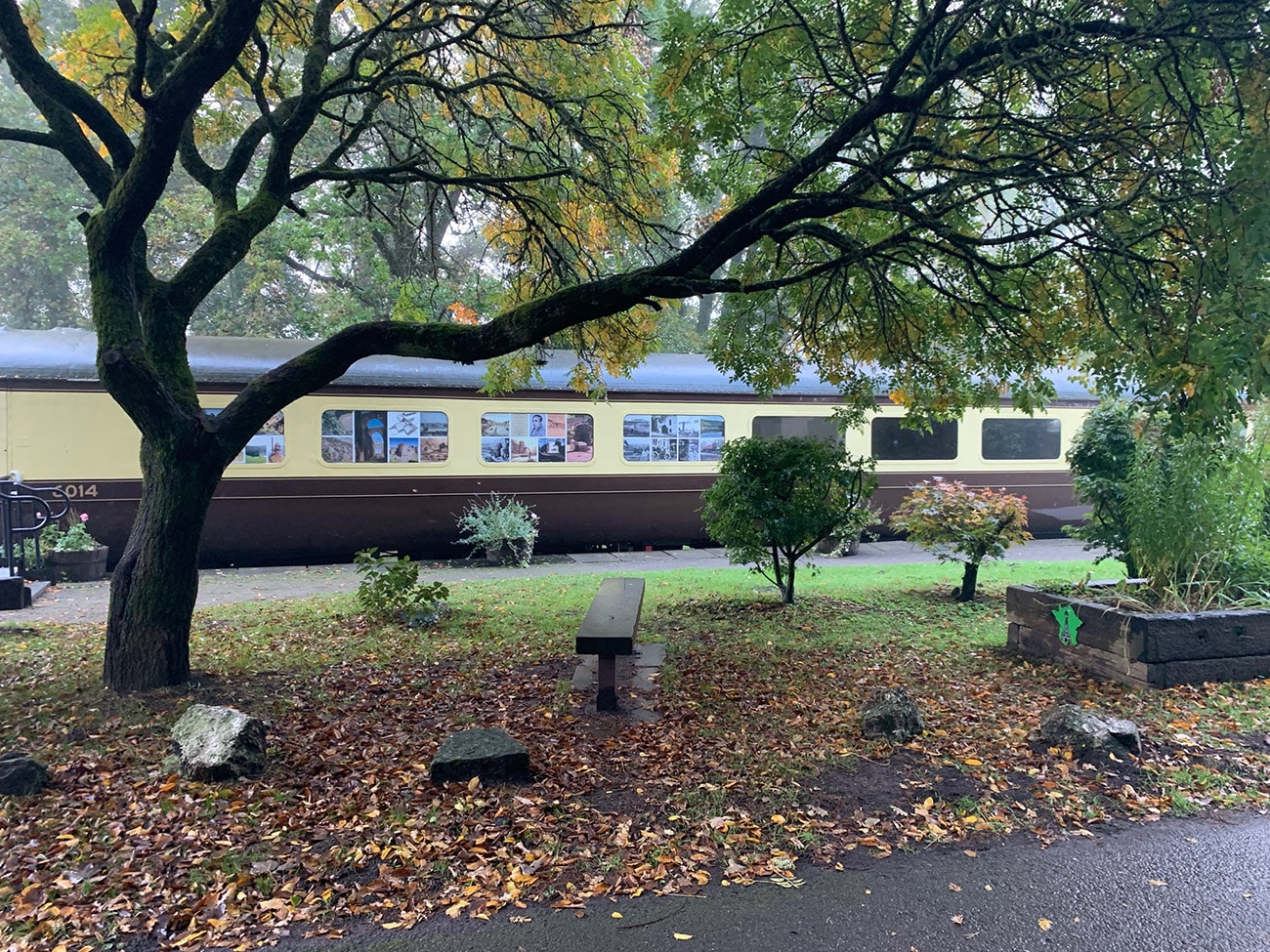
You are starting at ‘Old Station Tintern‘, and once you arrive at the car park you will see the train carriages that have been restored and turned into a small information centre and museum. It wasn’t open when we set off as it was early but we did go in at the end, so the pics are last.
It’s worth having a look around before you set off, as it’s a beautiful setting and really well looked after, and once you are ready walk to the left to the station and walk past it along the path until you arrive at Brockweir Bridge.
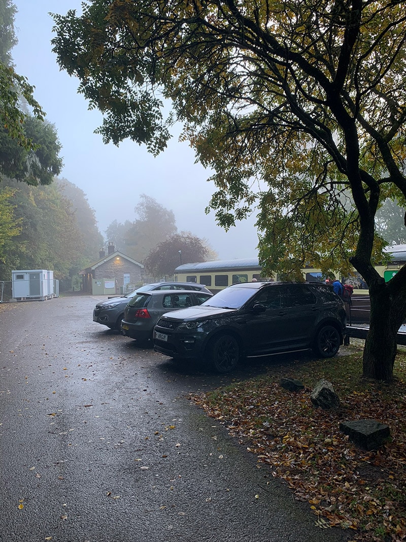
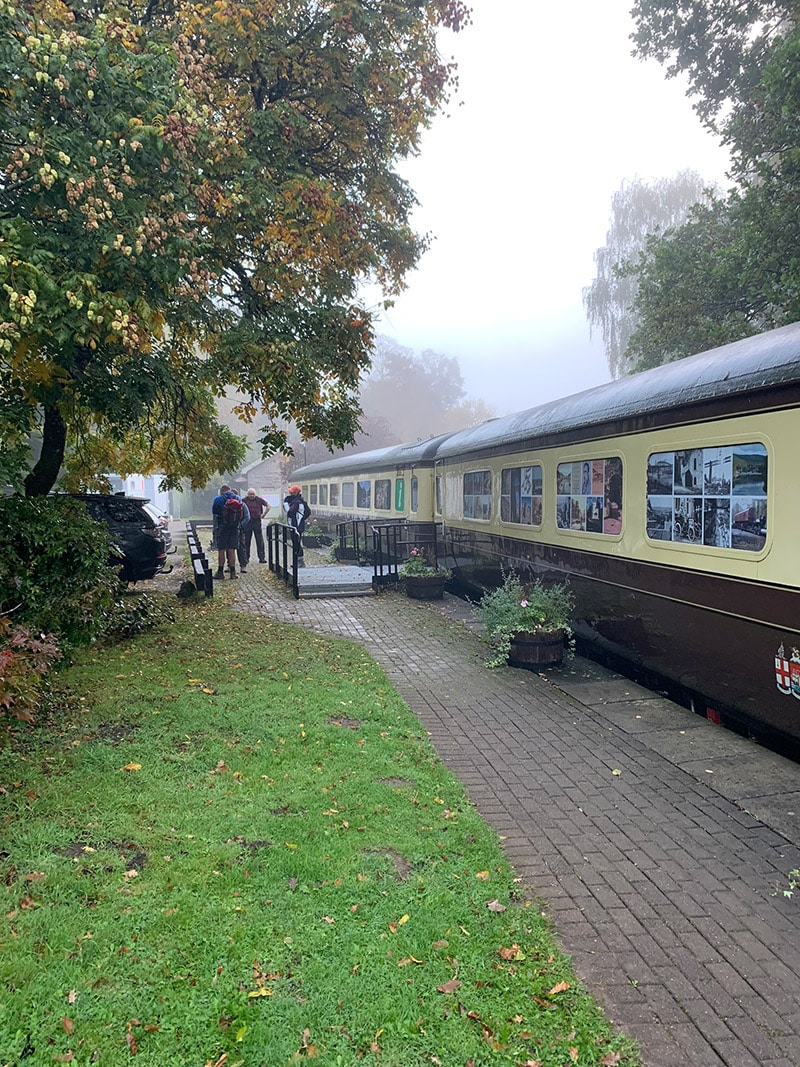
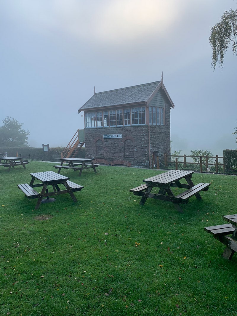
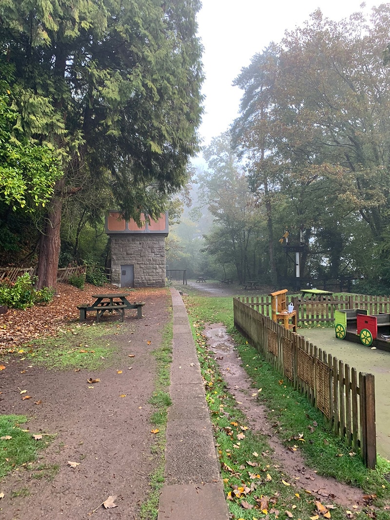
At the end of the path heading away from the station, the bridge will appear in front of you and some steps up to the road on your left, head up those and then keep left so you are crossing the main road and into a small clearing in the trees on the opposite side, where a path will appear, this is actually a part of the Wye Valley Walk.
There is a gentle climb up, but the good news is once you get this climb done you are then mostly walking on flat ground and also walking down again.
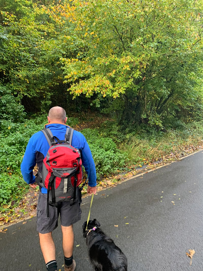
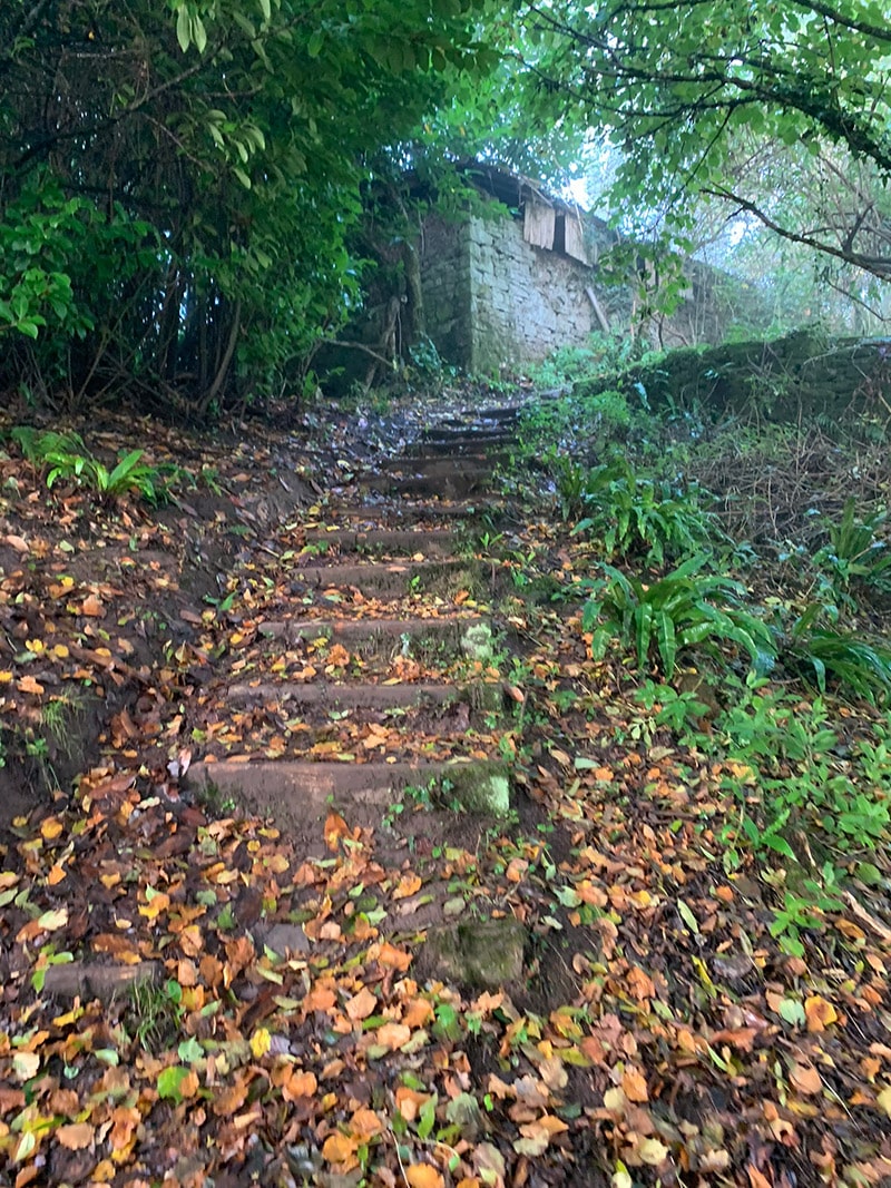
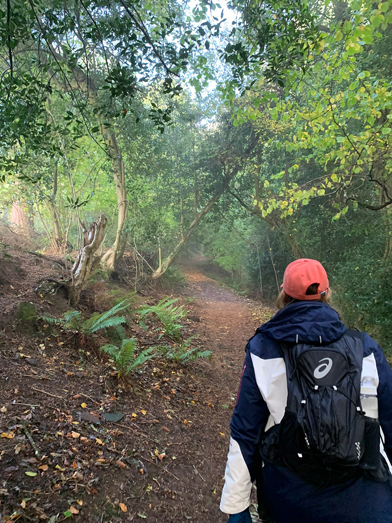
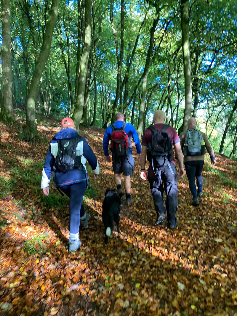
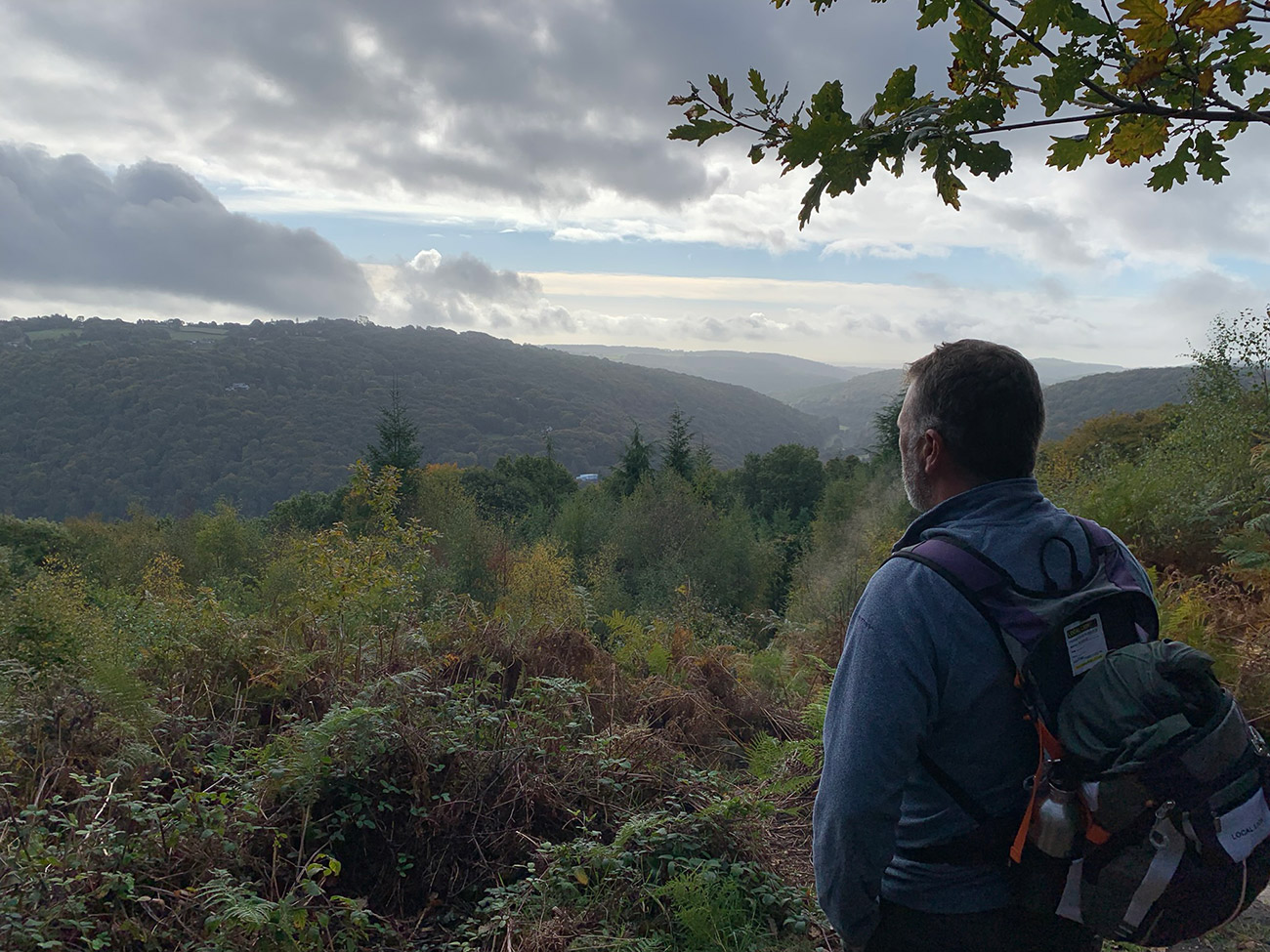
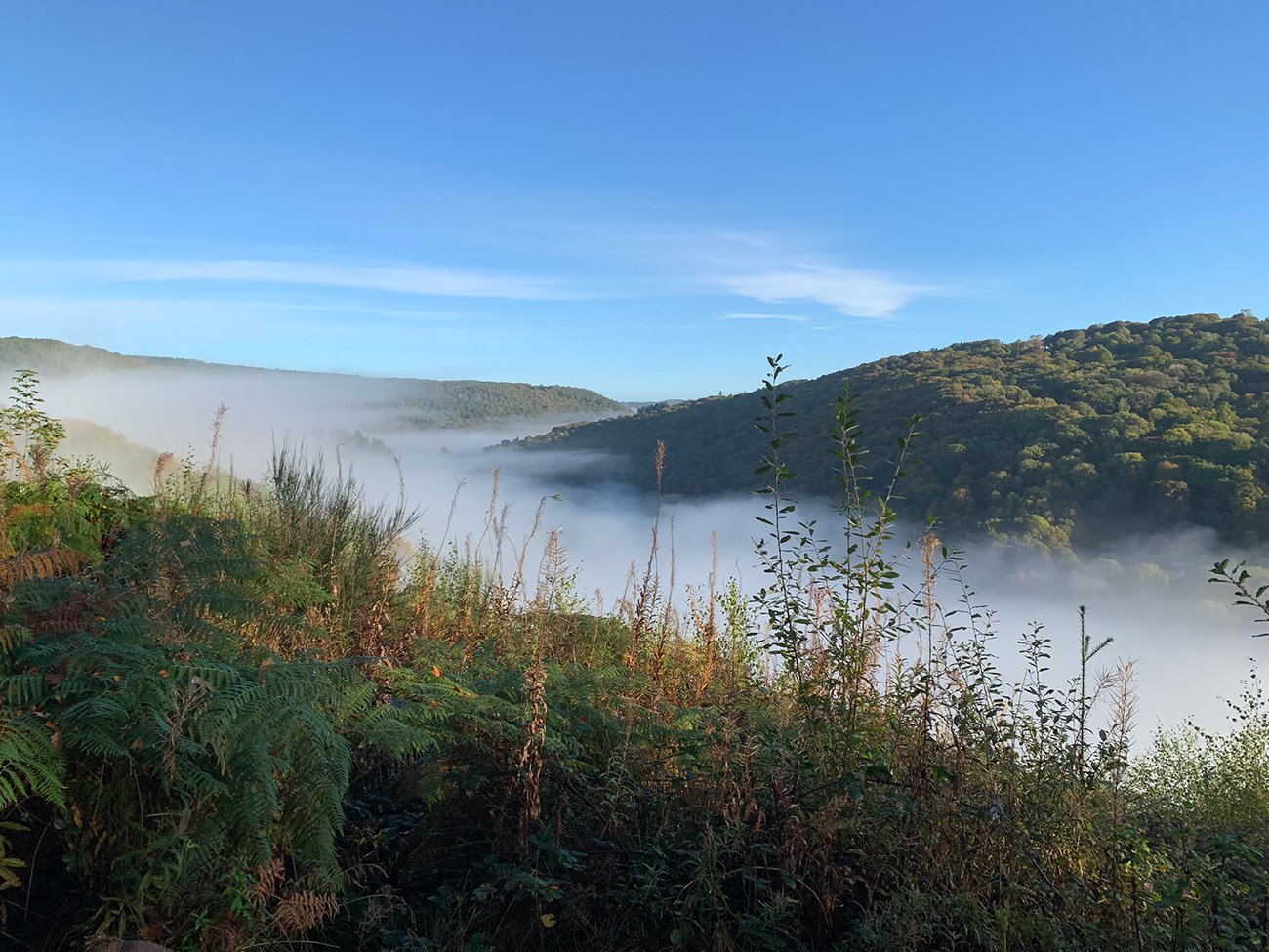
As we continued to walk up, we passed through the fog, and then this beautiful day appeared and at the top we had a great view of the Wye Valley and the fog we arrived at the car park in.
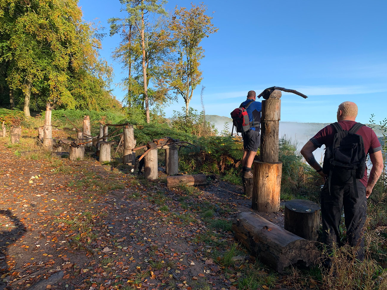
Just at the top and still walking along the ‘Wye Valley Walk’ we came to an area that had stumps all organised in a way that could have been used for something, but we couldn’t work out what it would be used for, but nonethless it was interesting and was a good spot to have a little coffee break, before continuing through the woods.
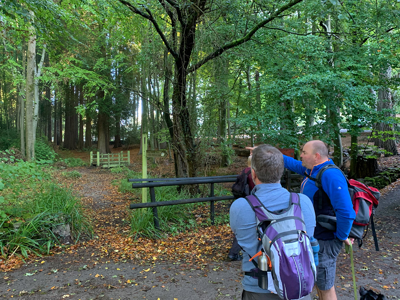
The next stage will take you through the woods and if you are lucky, you may be able to see some deer, you are still following the Wye Valley Walk but we decided to stay higher up rather then follow the path down through the tree’s, we just felt it was a better view and in any case, you end up in the same place.
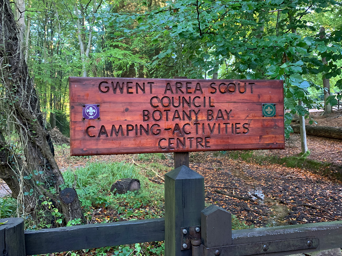
There is a brief period where you will join back to a road, and then you will see the sign for ‘Botany Bay Camping & Activities Centre‘. This is a beautiful part of the Wye Valley used by the Scouts, the site covers 27 acres and, providing an excellent environment for traditional Scouting activities such as cooking, pioneering, conservation, and woodcraft. We walked through and where in awe how the area is so well maintained, and the beautiful trees, this is a must addition to this walk.
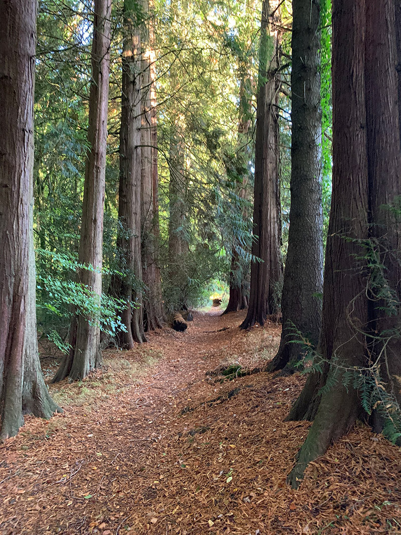
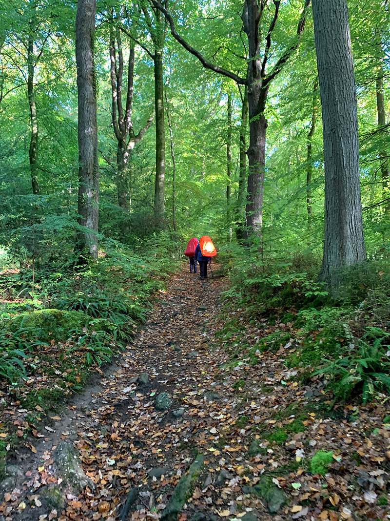
There is a little climb to leave Botany Bay camp site, and as you continue on through the woods again still following the Wye Valley Walk, you will briefly join a road before you head back into the woods and then you have a perfect spot for a nice coffee break.
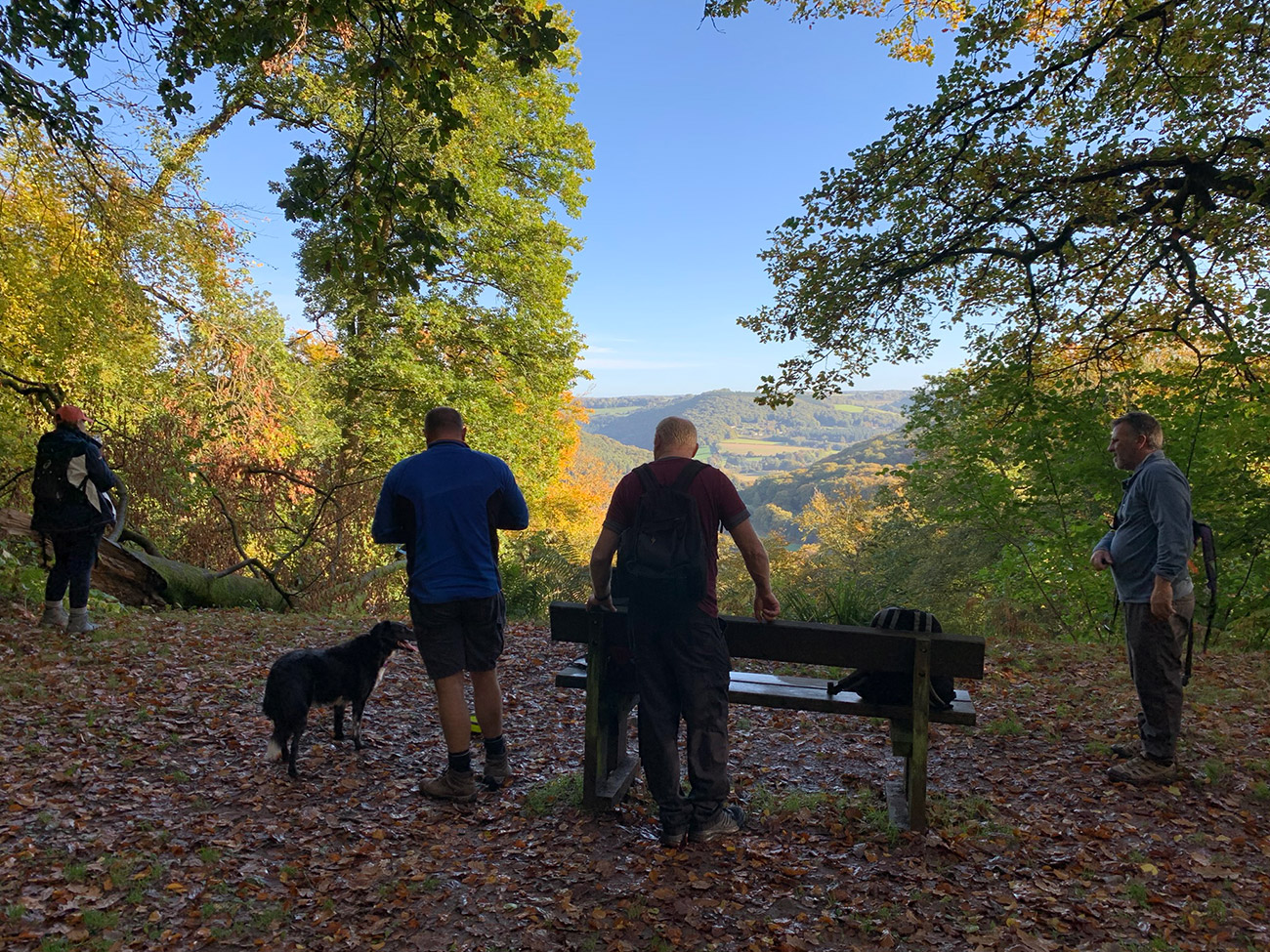
A bench will soon appear and you have a beautiful view through a gap in the tree’s looking out over the Wye Valley. This is a long walk, so we took advantage of the bench and had our food also, before continuing onto the next popular spot, which is best visited during the winter.
You are now on your way to ‘Cleddon Falls‘, and as you will see form the pics below the reason why it’s best visited in the winter. Cleddon Falls as it thunders down the valley can be heard from a distance, and it’s at its best when the autumn rains have come and the falls (or shoots as they are also known) are in full flow.
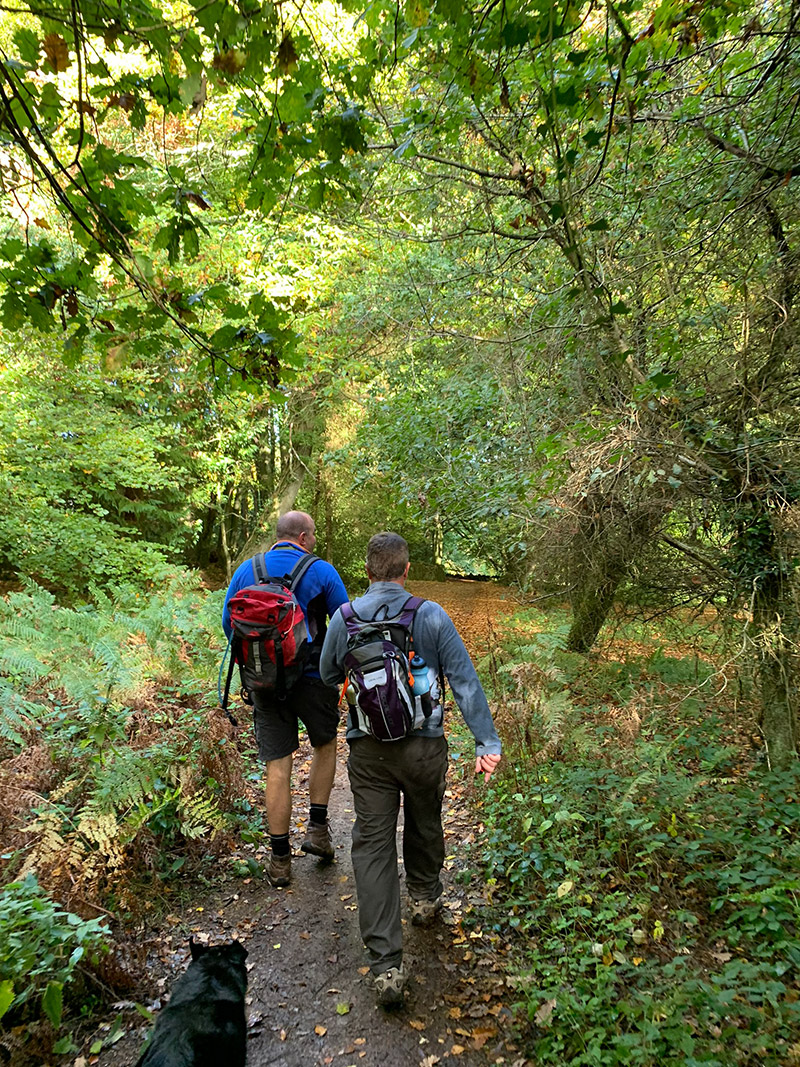
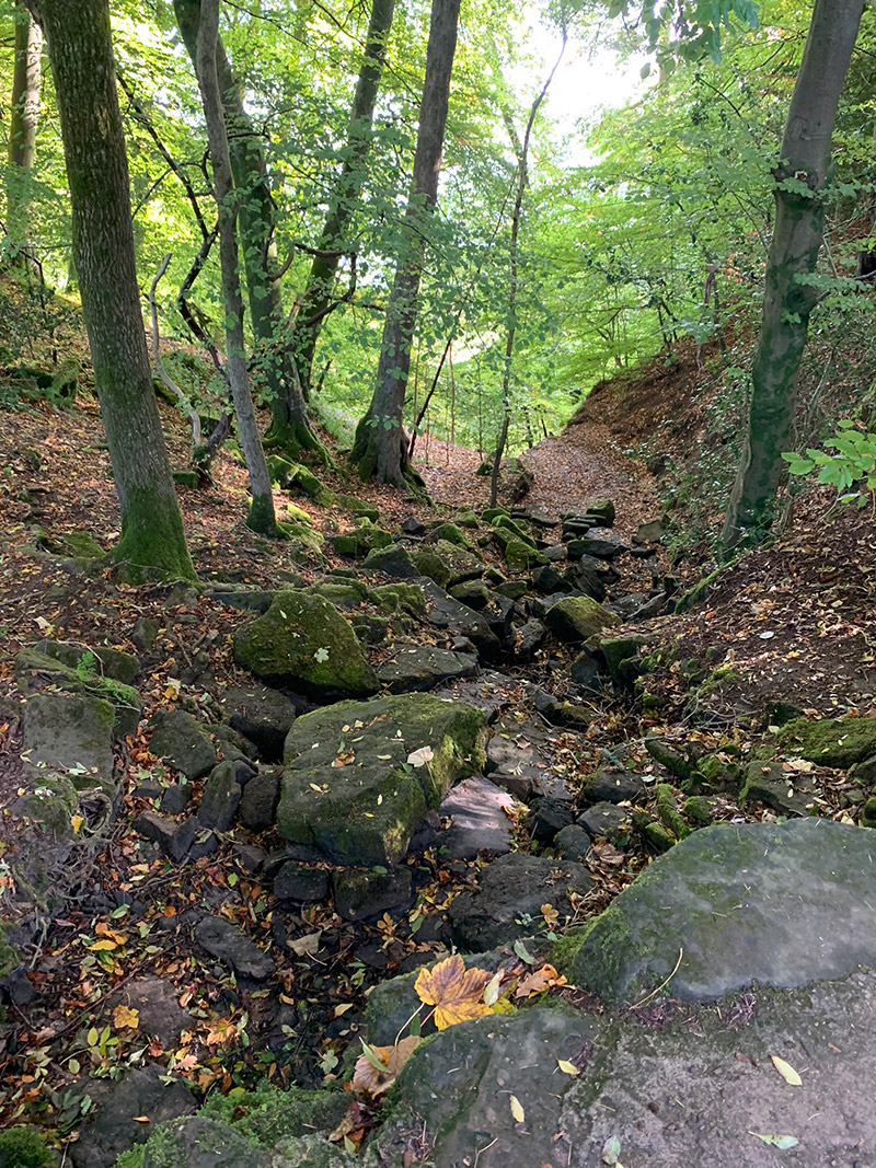
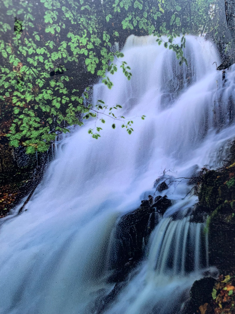
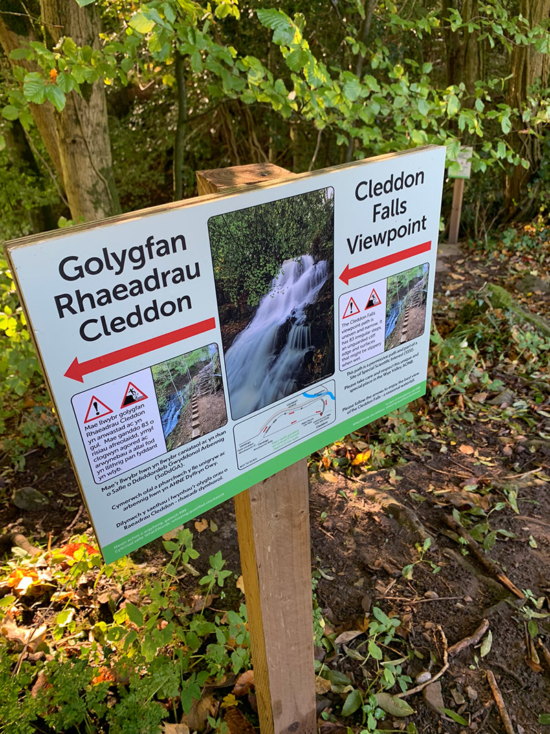
Below these falls is ‘Llandogo‘ which is on the Wye Valley Road, so you could head down from the falls to it, and head back to Tintern, but we continued on still along the Wye Valley Walk passing by small cottages and farms and then along through the woods.
Following the trail, you will start to see some signs and they are pointing you right, and at this point you will start to feel yourself heading downhill. It’s actually quite a large decent from around 800 feet to river level, and in places its very slippery, as they are cut throughs, but keep going all the way to the bottom, where you will pick up a road, and then you head right and towards the river Wye which will be on your left.
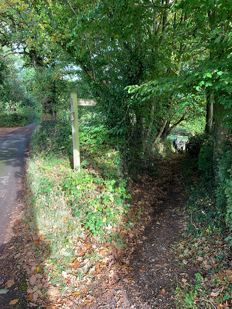
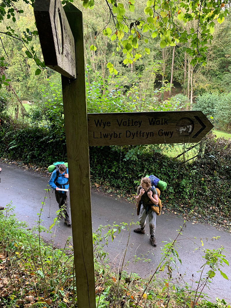
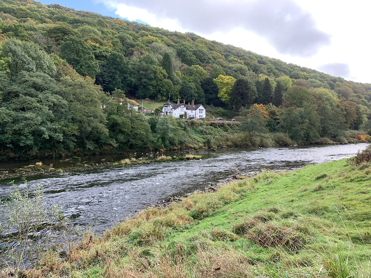
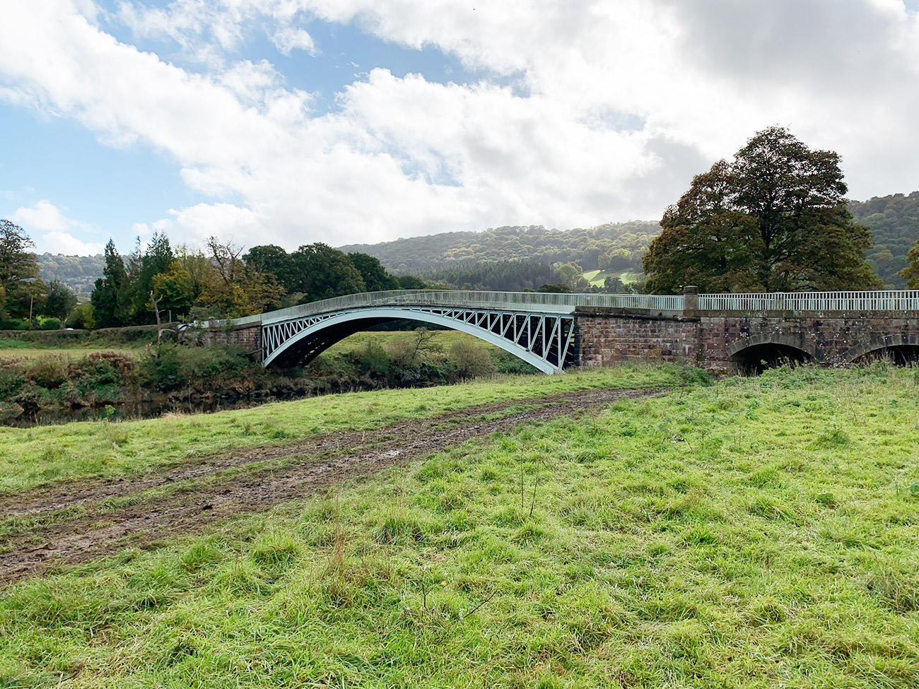
From this point on you will simply follow the river Wye all the way back to the Old Station Tintern. But there is still plenty of interesting things and places to see, the first being the river Wye itself and the valleys sides as you walk along, then you will come to Bigsweir Bridge, a sandstone and cast iron construction which was constructed as a part of the Wye Valley turnpike which was opened in 1829.
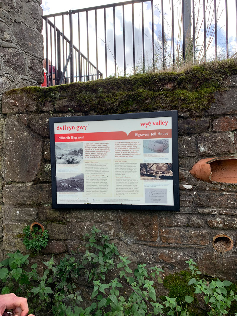
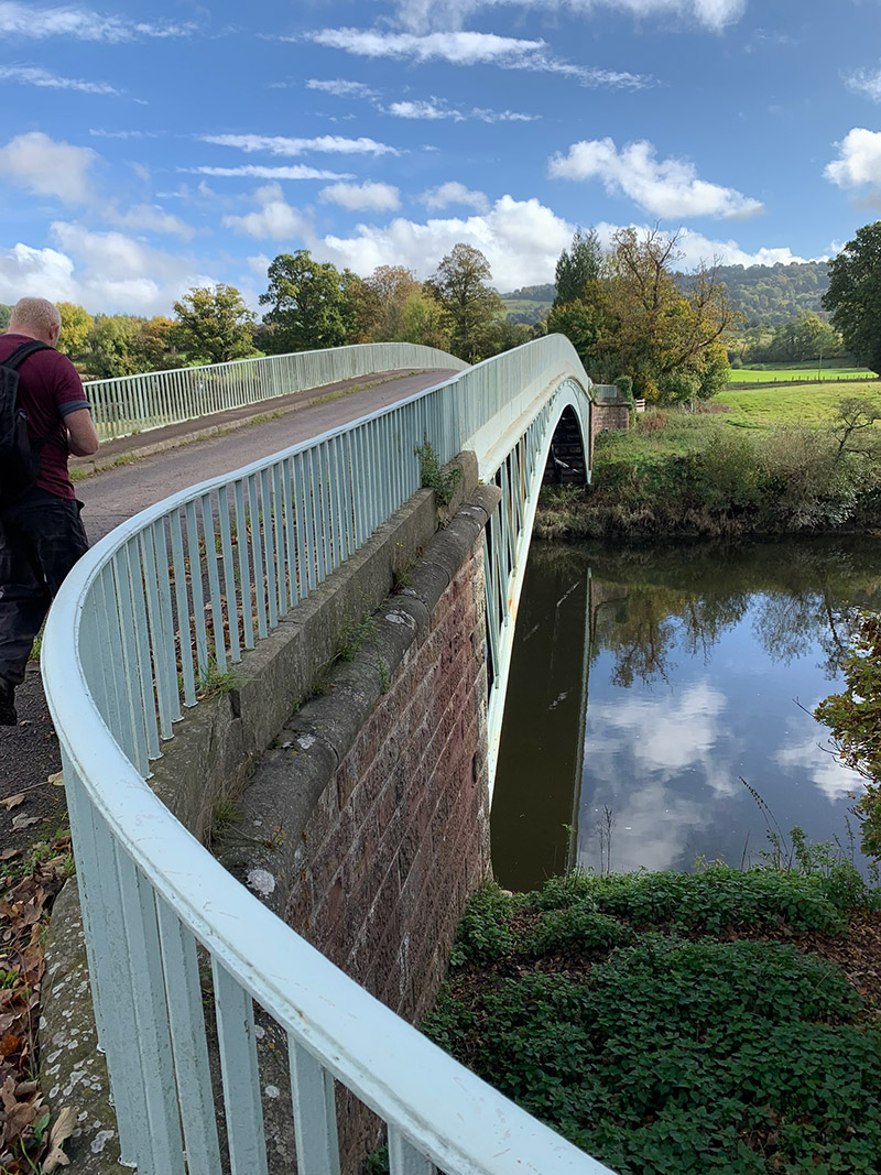
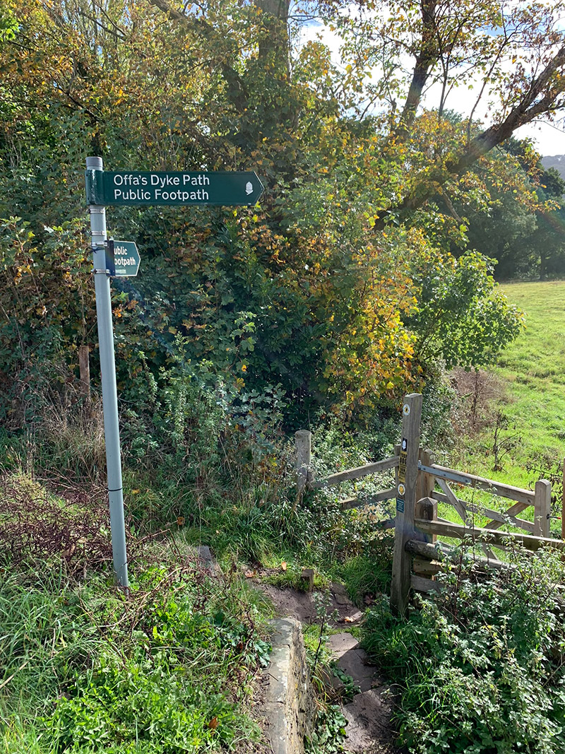
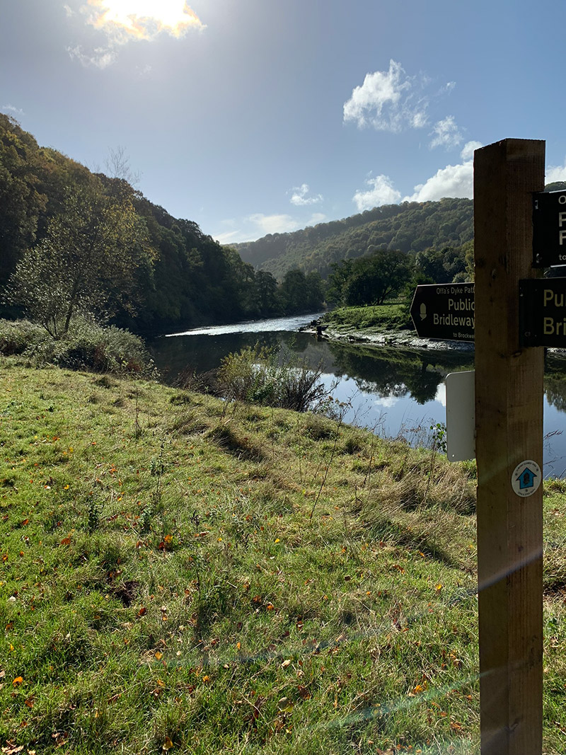
The really interesting thing about this bridge and then continuing your walk to Tintern on the other side is that you are now walking part of the ‘Offa’s Dyke Path‘, so having left the Wye Valley Walk when you started walking along the river Wye, you are now on the other famous route, so all in all a really interesting walk, and you can say you have ticked off a few sections.
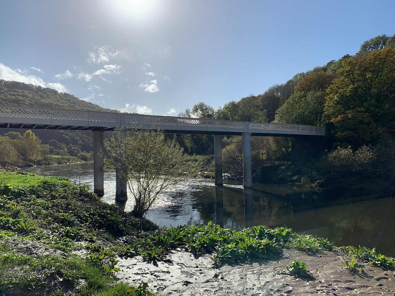
But you’re not quite done yet, there is a still a walk back to the ‘Old Station Tintern’, which you can get to by eventually crossing over ‘Brockweir Bridge‘, and then back to the tea room for a well-earned coffee and cake, as we did.
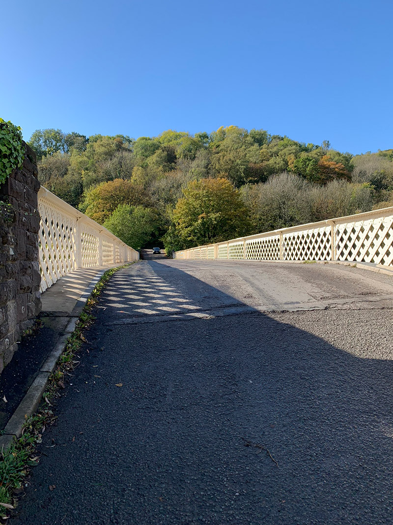
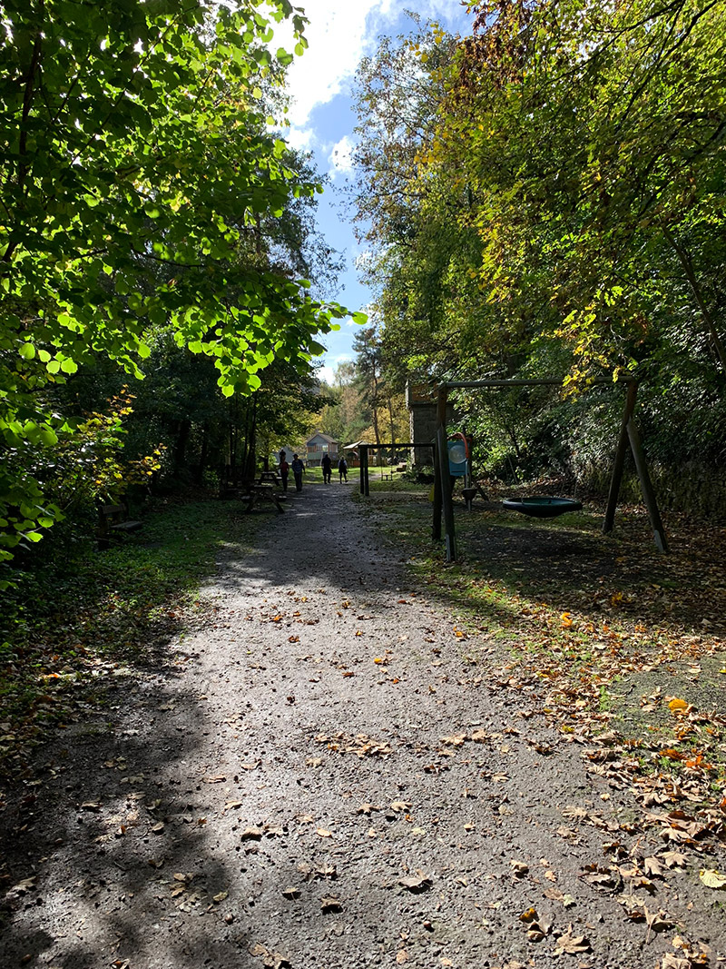
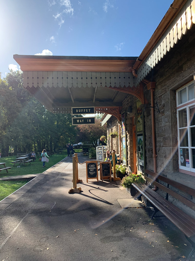
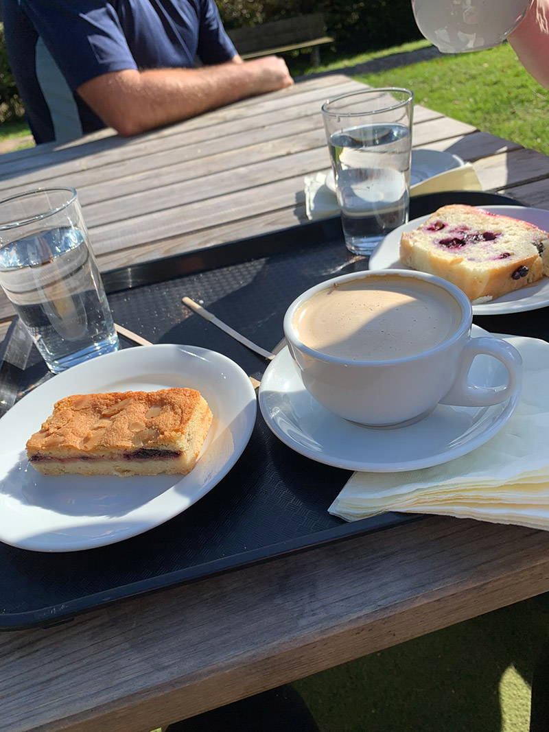
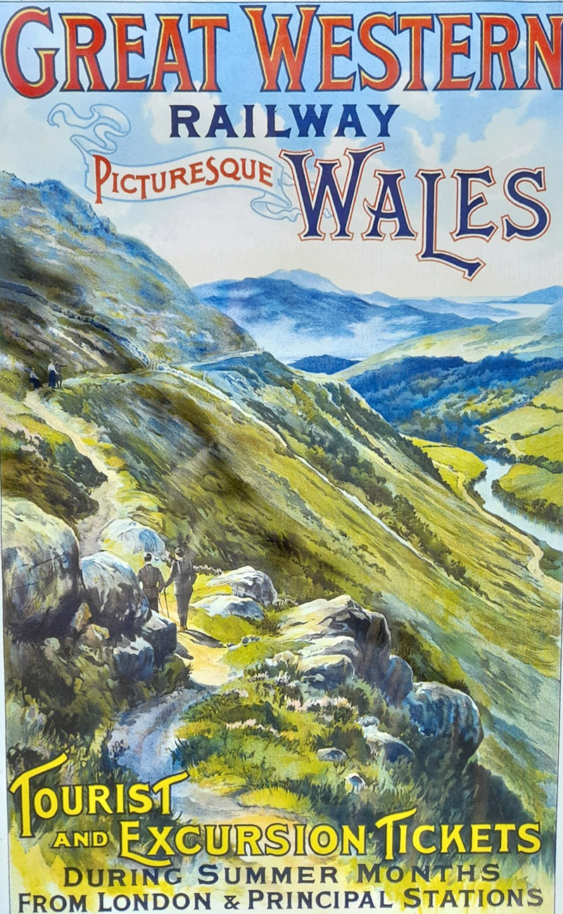
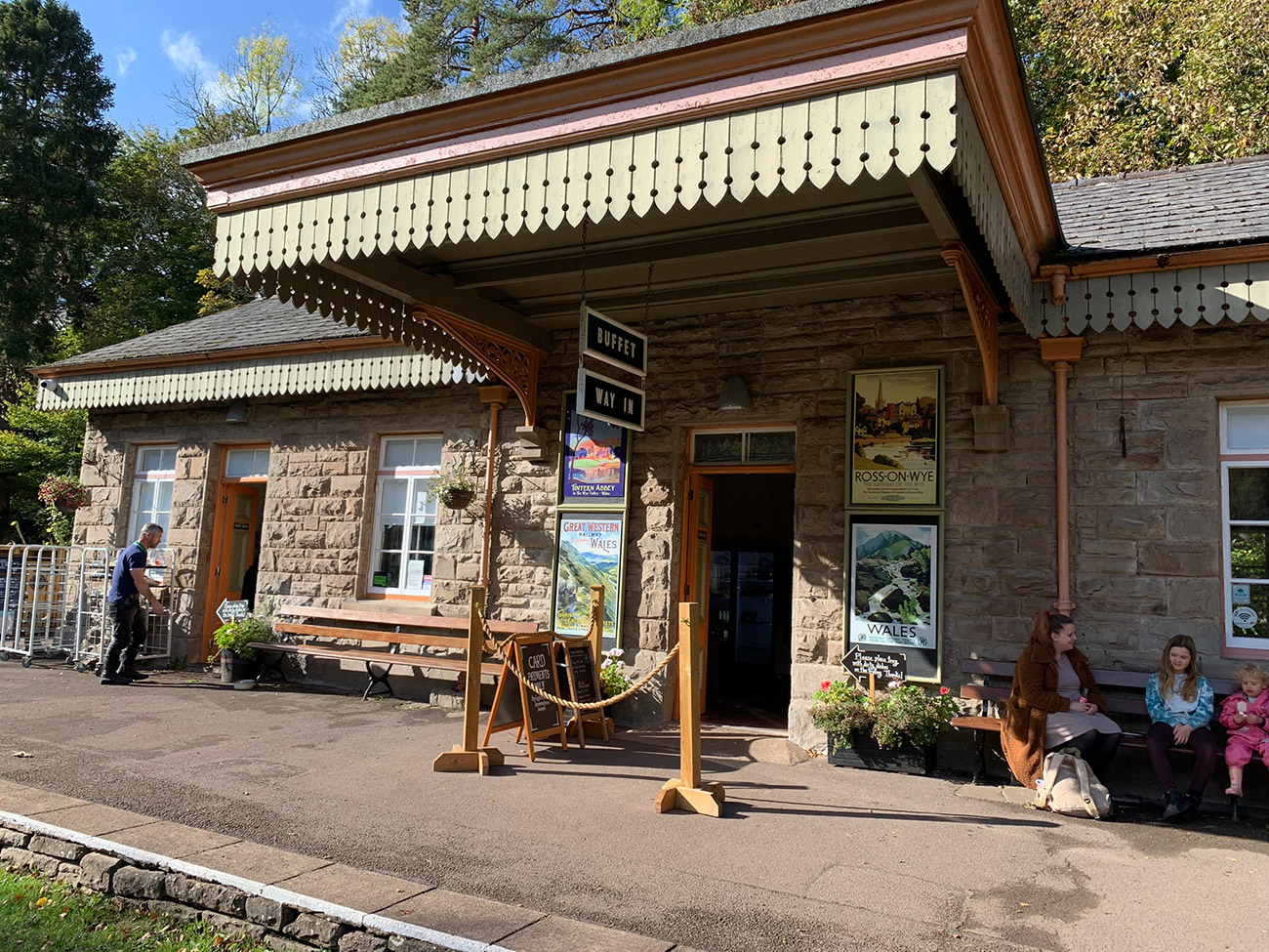
I haven’t forgotten about the pics for the old railway carriages that have been turned into a sort of an information centre and museum, after your coffee before getting back in the car it’s a nice little conclusion to the walk. So here are the remainder pics of the station, the tea rooms and the carriages.
That’s it, you’re all done, back at the car and hopefully the weather has been good, and you have had a great experience.
It is worth downloading this route onto the your outdooractive app, it’ll re-assure you time wise and that you’re not heading in the wrong directions. There is so much space up there and lots of alternative paths you could accidently join.
Hope you enjoy this walk, and I’d love it if you could share this post either with the social media buttons that follow you down the screen on your left, or below in the footer. Also, comments are very welcome, I love meeting new people and talking and you never know we could meet up on one of our walks.

Fundraising for CALM, they do save lives!
Do you want to join me in making a difference? I’m raising money in aid of Campaign Against Living Miserably and every donation will help. Thank you in advance for your contribution to this cause which means so much to me.
More information about Campaign Against Living Miserably: Campaign Against Living Miserably (CALM) is leading a movement against suicide. Every week 125 people in the UK take their own lives. And 75% of all UK suicides are male.
CALM exists to change this. Join the campaign to take a stand against suicide.
Please donate an amount you can afford, everything helps these poor people.
I have raised £572 so far, and I will keep trying to raise more.

Fantastic write up of this walk and lovely photos! Thank you for sharing! I’ve done bits of this walk at various times but the whole loop would be amazing to do. Can you remember if there were any stiles along the way?
Hi Ellie, thats really nice of you, glad you enjoyed it. I try and pack as much into it as I can without it being to much. This walk is a long one, and the long walk back is a bit of a task, but you know you’re getting that coffee and cake back at the tea room, and on a sunny day the views are beautiful. Umm, I honestly dont think there was, I usually take a pic of a stile and someone going over it, as it’s like a set place on the walk, and I havent got any pics of stiles, so I’m pretty sure there isnt any. Thanks for getting in touch, and anything I can you help, just let me know. I post a lot of stuff to my facebook page also, if you wanted to follow that. Take care also and let me know if you do it x
Thanks so much! Quite unusual around here to go without finding a stile, I usually have to plan around them for my dog!
I’ll absolutely follow your facebook page and look forward to reading some more of your travels x