

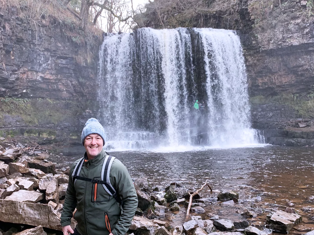
Region: Bannau Brycheiniog National Park – Waterfall Country, Ystradfellte, South Wales
Places to stay: Base yourself in Brecon for easy access to the national park, or consider Merthyr Tydfil if you are also exploring the southern Bannau Brycheiniog. Looking for more Welsh walks? Visit my Wales hiking guides.
The Four Waterfalls Walk from Gwaun Hepste is one of the finest woodland walks in the Bannau Brycheiniog. This approximately 10 km circular route explores the rivers Mellte and Hepste and visits four very different waterfalls: Sgŵd Clun-Gwyn, Sgŵd Isaf Clun-Gwyn, Sgŵd y Pannwr and Sgŵd yr Eira.
The highlight for many people is Sgŵd yr Eira, where a path leads behind the curtain of water. It is a brilliant experience, but the stone steps, exposed rock and river paths can be extremely slippery. This is not a flat tourist stroll: expect repeated descents and climbs, uneven ground, mud and a surprisingly physical walk back to the car park.
I prefer starting at Gwaun Hepste car park. It gives you a straightforward approach through the plantation and works well for the circular route described below. The car park becomes extremely busy during weekends, school holidays and periods of good weather, so an early arrival makes the day much easier.
If you enjoy this walk, try my Horseshoe Ridge Circular Walk for a big mountain day, the Dragon’s Back and Waun Fach Circular for a quieter ridge route, or explore all my Bannau Brycheiniog walking guides.
Staying overnight? Read my guide to the best places to stay in the Brecon Beacons.
Below are a few ideas for day tours around the Brecon Beacons and South Wales. GetYourGuide makes them easy to browse and book – see more here.
Getting There: Gwaun Hepste Parking, Postcode, Map and GPX
- Start and finish: Gwaun Hepste car park.
- Postcode: CF44 9JF. The rural postcode covers an area, so use the Google Maps pin as well as the postcode.
- Plus Code: RF24+JH, Ystradfellte, Aberdare.
- Parking: Paid parking. Check the signs and payment instructions when you arrive, as arrangements can change.
- Arrival: Come early on weekends and during school holidays; Waterfall Country can become exceptionally busy.
- Outdooractive route: Open the Four Waterfalls Walk map.
- Free GPX: Download my Four Waterfalls Walk GPX file.
- GPX help: Read my plain-English guide explaining what a GPX file is and how to use one.
Four Waterfalls Walk Map
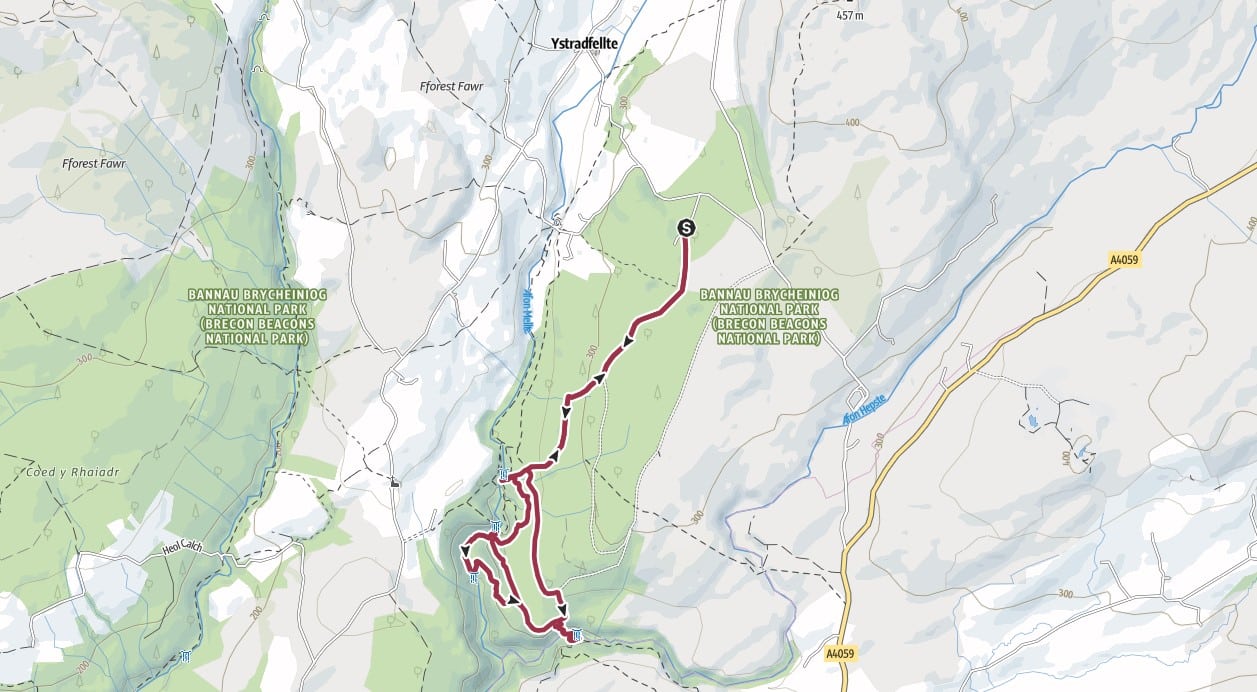
Four Waterfalls Walk Hike Profile
- Distance: Approximately 10 km / 6 miles circular
- Duration: Allow around 3–4 hours, plus extra time for photographs and breaks
- Highest point: Approximately 326 m / 1,070 ft
- Difficulty: Moderate, but strenuous in places because of repeated steep steps and climbs
- Terrain: Woodland tracks, stone steps, muddy paths, roots, wet rock and uneven riverside ground
- Best for: Waterfalls, woodland, photography and an adventurous South Wales day walk
- Not suitable for: Wheelchairs, pushchairs or anyone uncomfortable with steep, slippery ground
Route overview from Gwaun Hepste
| Stage | Route section | What to expect |
|---|---|---|
| 1 | Gwaun Hepste car park → Four Falls Trail | Broad plantation track, descending on the outward journey |
| 2 | Four Falls Trail → Sgŵd yr Eira | Woodland path followed by a steep, slippery descent |
| 3 | Sgŵd yr Eira → Sgŵd y Pannwr | Return climb, riverside woodland and another descent |
| 4 | Sgŵd y Pannwr → Sgŵd Isaf Clun-Gwyn | Uneven riverside ground beside the Mellte |
| 5 | Sgŵd Isaf Clun-Gwyn → Sgŵd Clun-Gwyn | Climb back to the main trail and continue to the upper falls |
| 6 | Sgŵd Clun-Gwyn → Gwaun Hepste | Signed return followed by the sustained climb through the plantation |
Four Waterfalls Walk Route Description
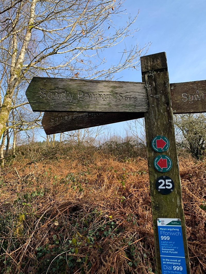
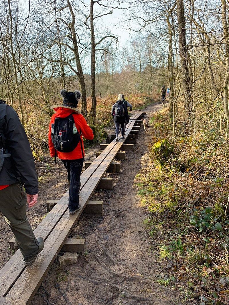
Leave Gwaun Hepste car park past the visitor information board and follow the broad track down through the conifer plantation. It is an easy start, but remember that this descent becomes the final uphill pull when you return. Continue following signs for the Four Falls Trail.
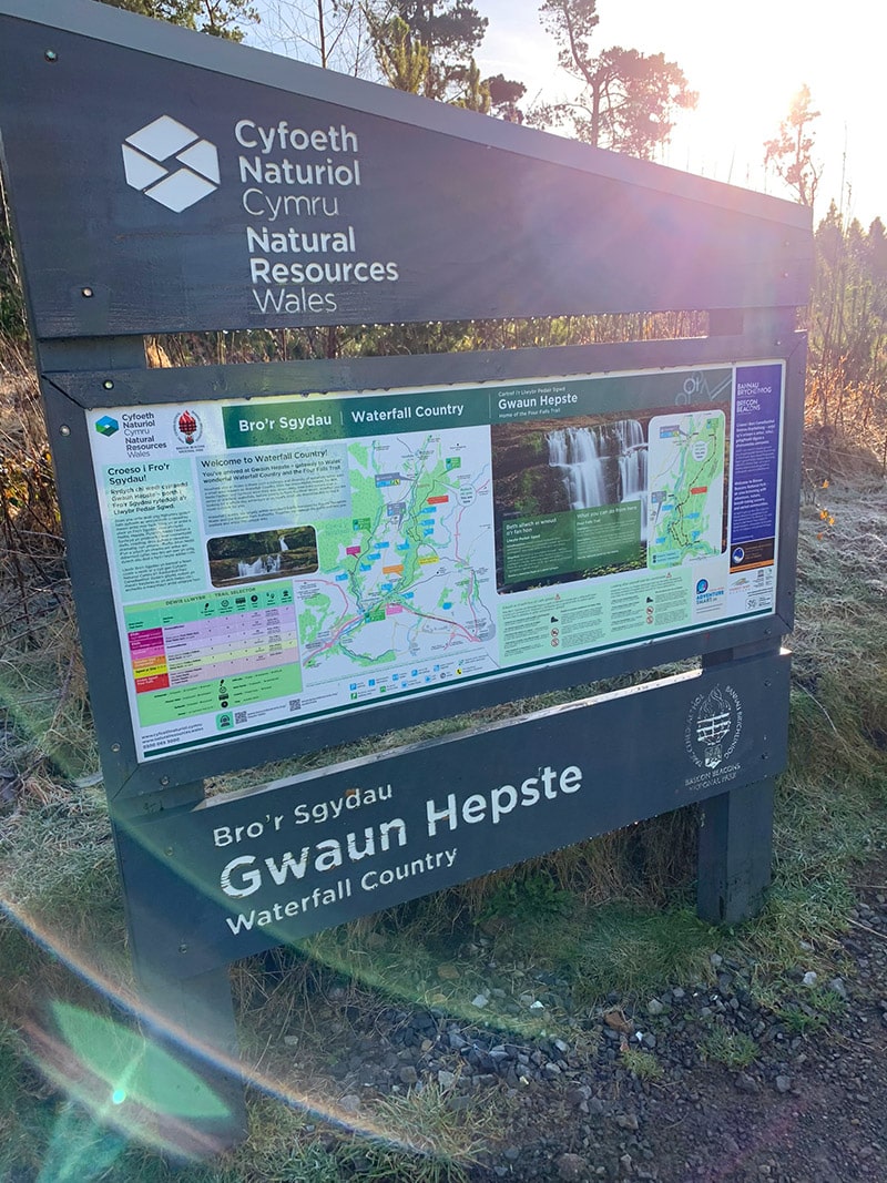
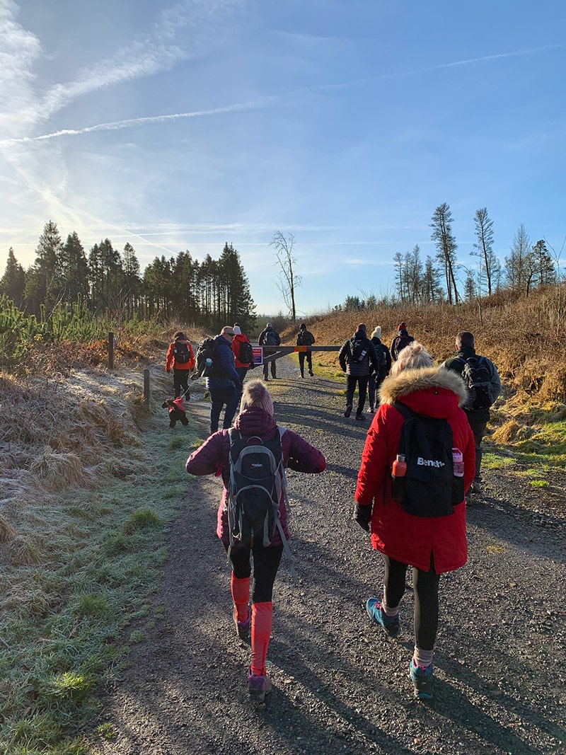
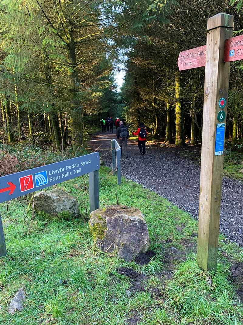
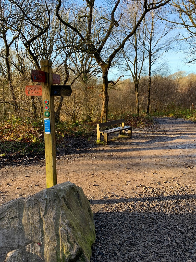
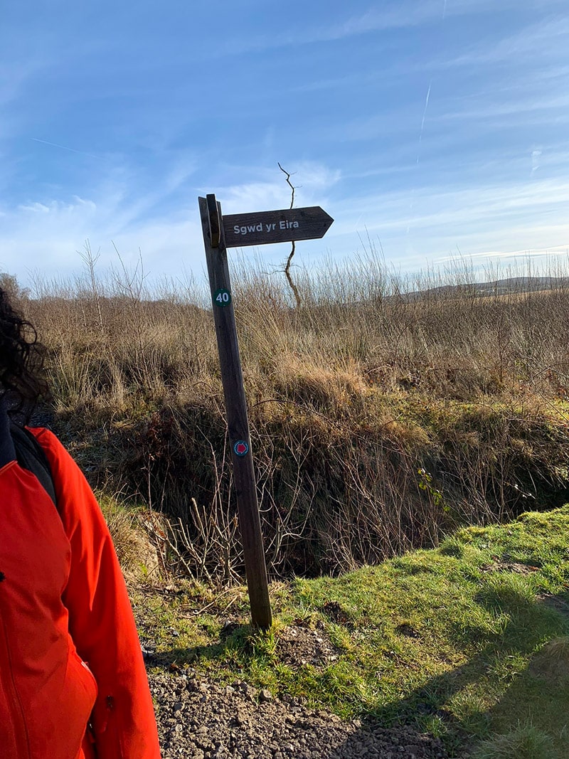
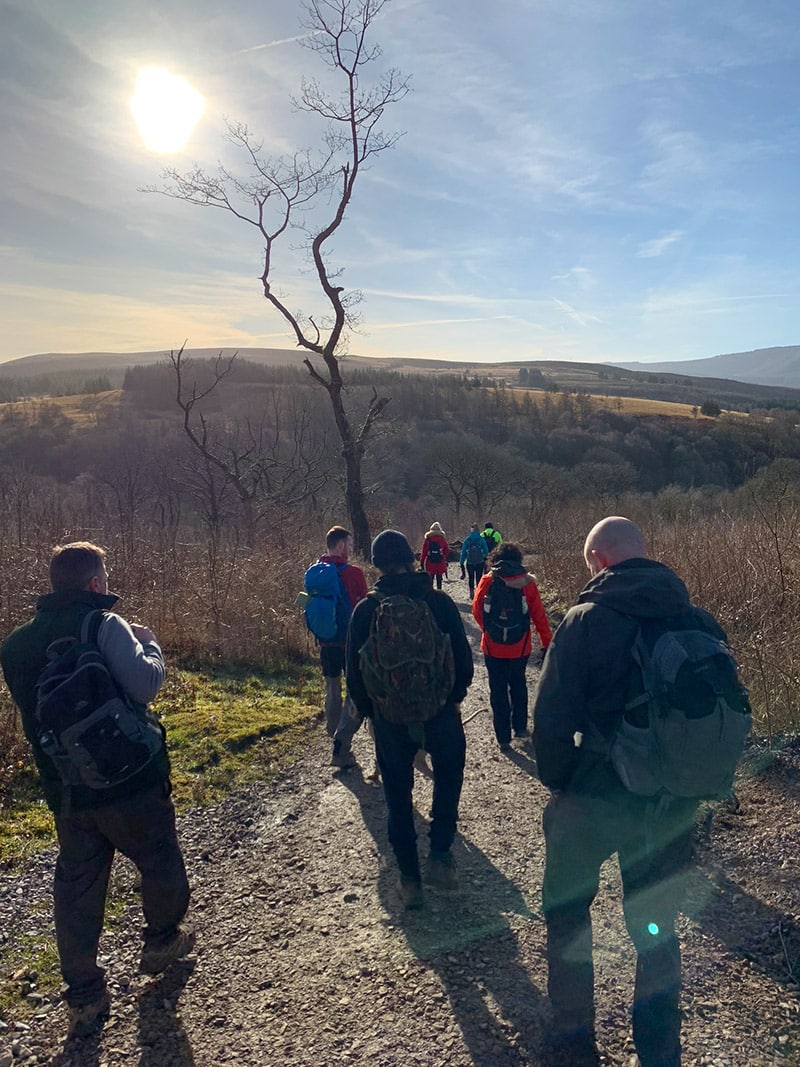
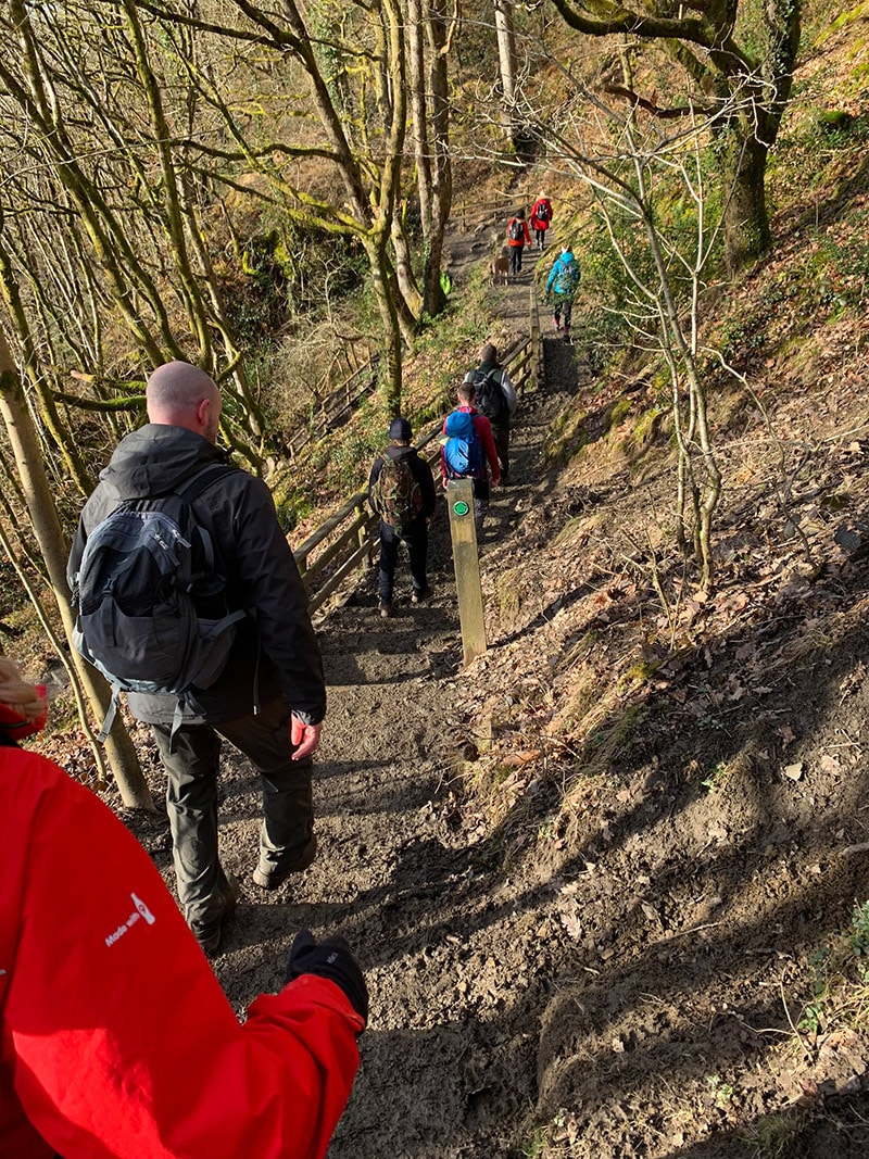
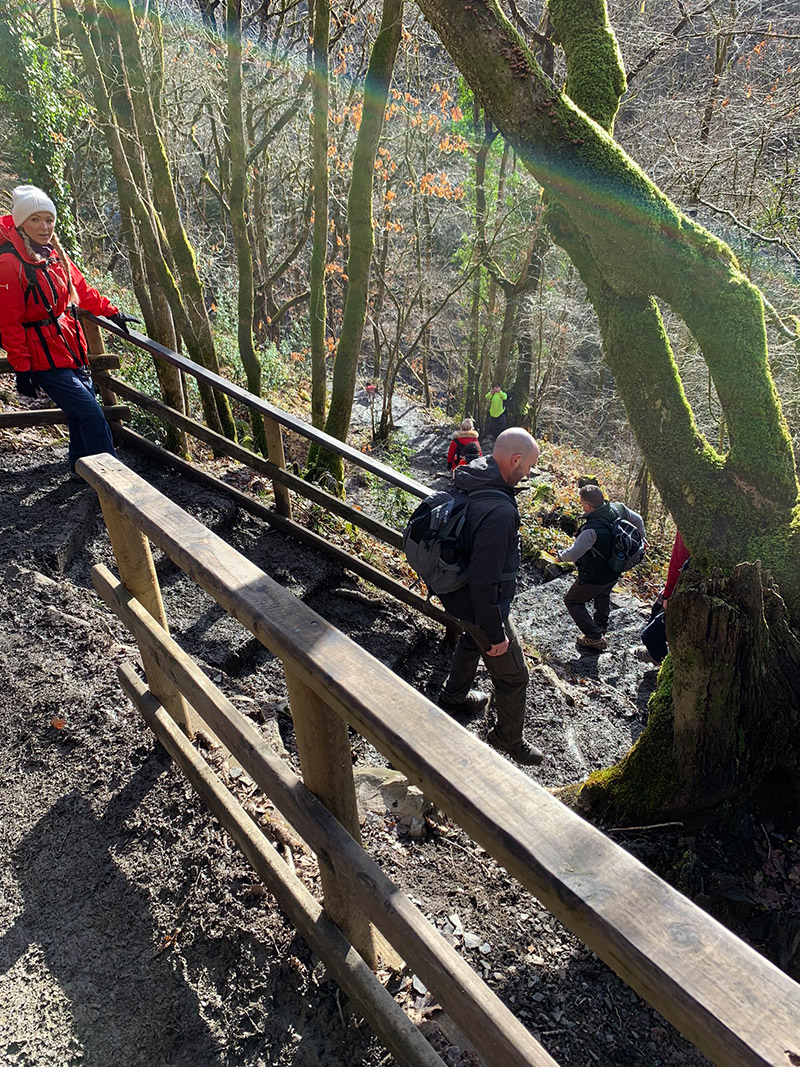
At the trail junction, take the signed route towards Sgŵd yr Eira. The approach can feel longer than expected, but keep following the waymarkers until the path reaches the signed descent. This section becomes steep and the worn stone can be slick even when it has not rained recently.
Sgŵd yr Eira – The Waterfall You Can Walk Behind
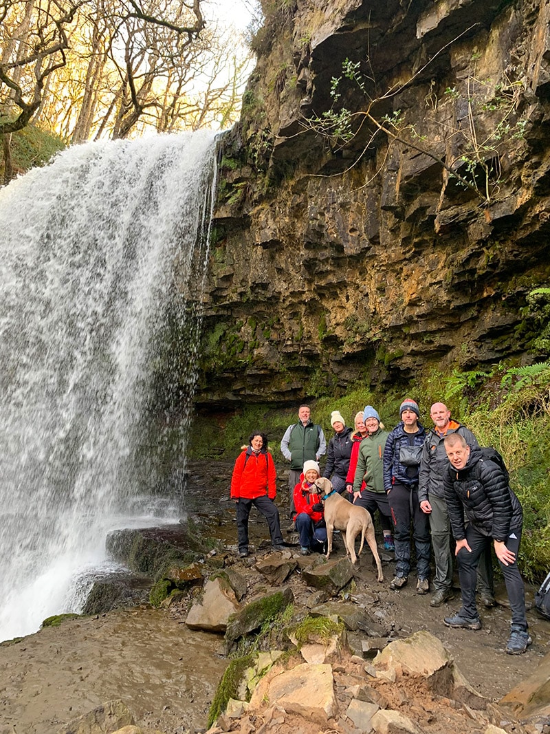
Sgŵd yr Eira means “Fall of Snow” and is the best-known waterfall on the route. At the bottom of the descent, carefully cross the rocks to reach the ledge behind the water. The sandstone has eroded to form a natural path behind the falls, creating one of the most memorable walking experiences in Wales.
The rocks and path behind the waterfall are extremely slippery and the flow can be powerful after heavy rain. Take your time, keep both hands free and turn back if the conditions do not feel safe. After visiting the falls, retrace your steps to the main path and continue towards the River Mellte waterfalls.
Sgŵd y Pannwr and Sgŵd Isaf Clun-Gwyn
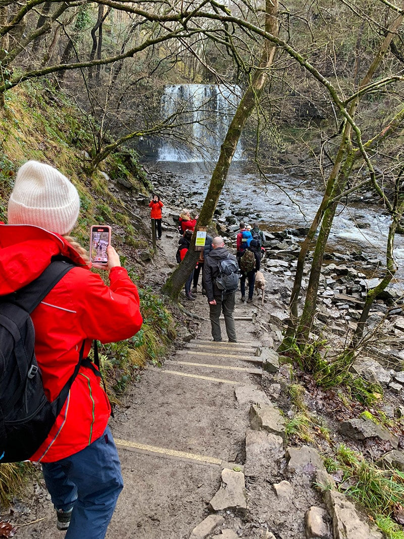
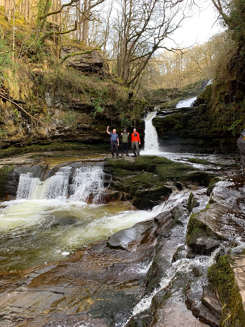
Back on the main route, follow the signs to the River Mellte. The next descent is the longest of the waterfall diversions and brings you to Sgŵd y Pannwr, the “Fall of the Woollen Washer”. Its broad, stepped rock formation creates a completely different waterfall from Sgŵd yr Eira.
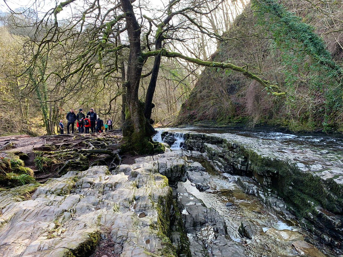
Continue upstream beside the river to Sgŵd Isaf Clun-Gwyn, the lower of the Clun-Gwyn falls. This riverside section is beautiful but rougher underfoot than the main woodland trail, with wet stones, roots and uneven ground requiring care. Once you have visited both falls, turn around and climb back to the main trail.
Sgŵd Clun-Gwyn
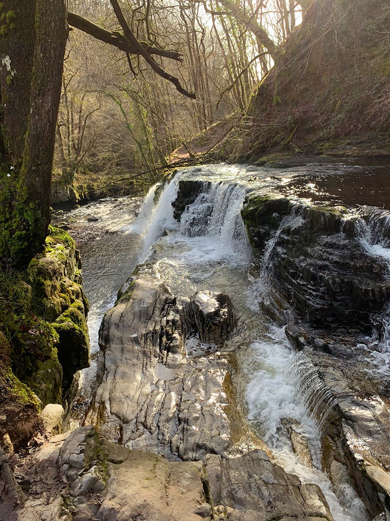
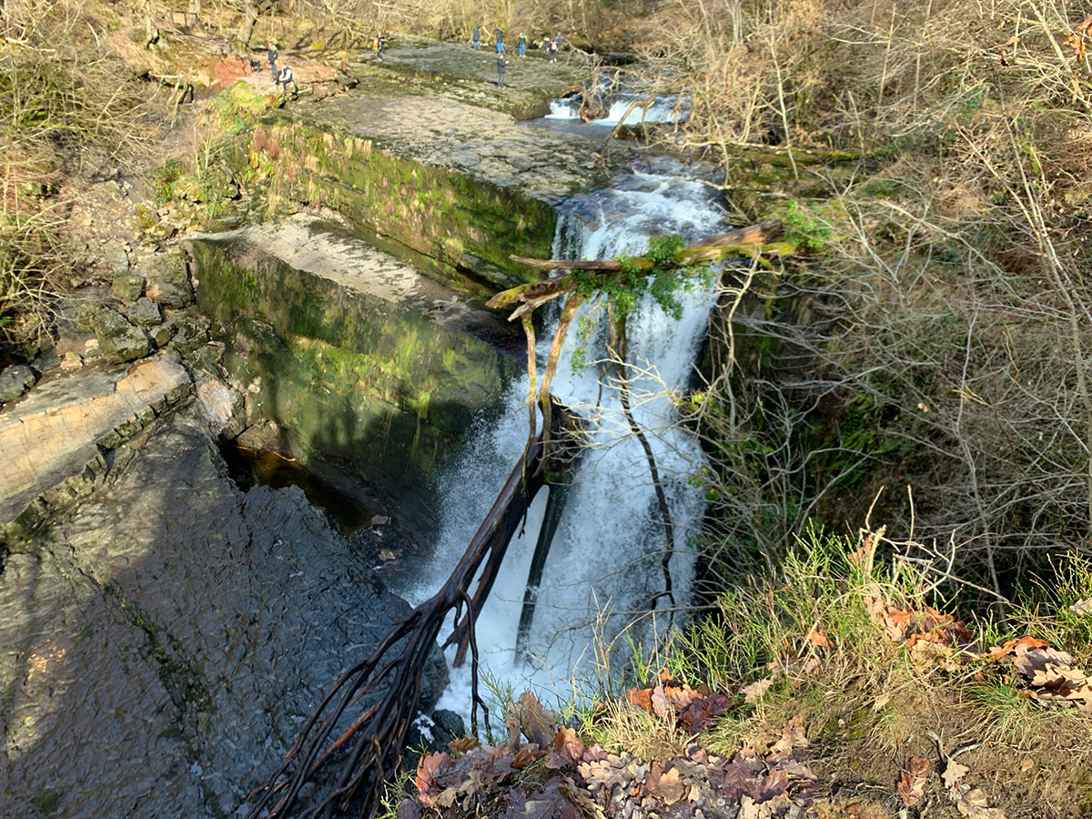
Continue along the signed trail to Sgŵd Clun-Gwyn, the “Fall of the White Meadow”. This is the upper Clun-Gwyn waterfall and is viewed from above, where the River Mellte drops over the resistant sandstone ledge into the gorge. Stay within the designated viewpoint and away from unprotected edges, particularly when the ground is wet.
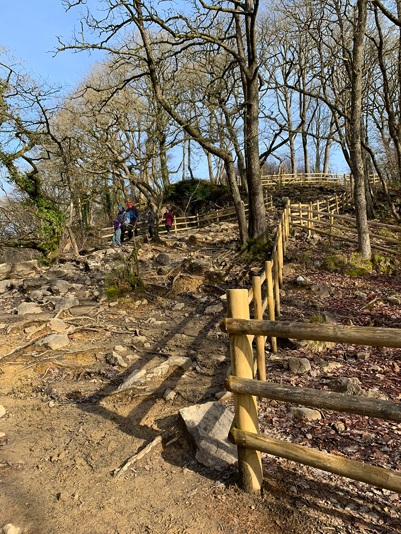
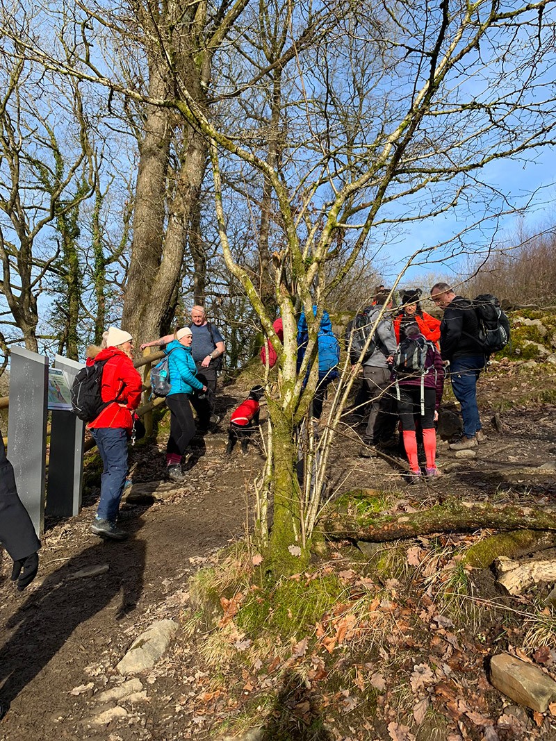
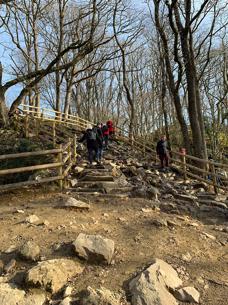
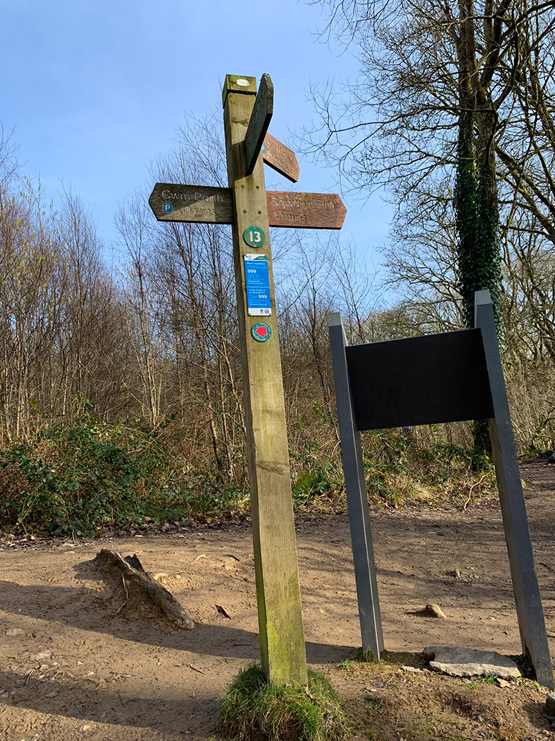
After the final waterfall, follow the signs for Gwaun Hepste. The route eventually rejoins the broad plantation track used at the beginning. The last climb back to the car park is sustained enough to catch people out, especially after all the waterfall descents, so save some energy for it.

Walk this route yourself in 3D!
This 3D walkthrough gives you a useful sense of the route before you arrive.
Places to Stay Near the Four Waterfalls Walk
For cottages, hotels and other accommodation around the Bannau Brycheiniog, Booking.com has a wide selection to browse.
Staying overnight? Read my complete guide to the best places to stay in the Brecon Beacons.
Four Waterfalls Walk Practicalities
- Start early: Parking and the paths can become very busy, particularly at weekends and during holidays.
- Footwear: Wear walking boots or trail shoes with excellent grip. Ordinary trainers are a poor choice when the route is wet.
- After rain: Expect mud, slippery stone steps and stronger waterfall flow. Never enter fast-flowing water.
- Navigation: The main trail is waymarked, but download the map or GPX before arriving.
- Phone signal: Reception can be inconsistent within the deep, wooded gorges.
- Children: Capable older children may enjoy the route, but there are steep drops, slippery steps and exposed river edges. Close supervision is essential.
- Dogs: Dogs need close control around crowds, steep steps, livestock and fast-flowing water. Assess whether your dog can manage the repeated climbs.
- Facilities: Check current facilities and parking information before travelling; do not assume refreshments or toilets will be available throughout your visit.
- Leave no trace: Take all rubbish home and remain on the established paths to protect the fragile gorge environment.
Four Waterfalls Walk FAQs
How long is the Four Waterfalls Walk?
How long does the Four Waterfalls Walk take?
Where is the best place to park for the Four Waterfalls Walk?
What is the postcode for Gwaun Hepste car park?
How difficult is the Four Waterfalls Walk?
What are the four waterfalls on the Four Falls Trail?
Can you walk behind a waterfall on this route?
Is the Four Waterfalls Walk suitable for children?
Can dogs do the Four Waterfalls Walk?
Do I need a map or GPX for the Four Waterfalls Walk?

Water-to-Go: Save 20% using code WMW20 at Water-to-Go.

AllTrails: Explore trail guides, maps and the current AllTrails Plus options on the AllTrails plans page, or read my full AllTrails review.
Disclosure: I may earn a commission if you buy or book through links on this page, at no extra cost to you.