


Ben Macdui
Region: Ben Macdui, Cairngorm Plateau, Cairngorms National Park, Scotland
Places To Stay: Aviemore is the main hub for hikers exploring the Cairngorms, with plenty of lodges, hostels and cosy hotels. Try: Stay in Aviemore or check more Cairngorms Accommodation.
The Ben Macdui and Derry Cairngorm Circular Walk is one of the finest and most demanding long-distance mountain routes in the Cairngorms. Beginning at Linn of Dee, this 29-kilometre circuit travels deep into the wild interior of the national park, crossing two Munros and reaching the 1,309-metre summit of Ben Macdui, the second-highest mountain in the United Kingdom.
Unlike the shorter approach from the Cairngorm Mountain ski area, this southern route begins far below the plateau and earns its way into the mountains through Glen Lui and Glen Luibeg. The long approach creates a powerful sense of remoteness before the path climbs Sròn Riach onto the vast, boulder-strewn Ben Macdui plateau.
After visiting the summit, the walk continues through high, exposed terrain towards Creagan a’ Choire Etchachan and Derry Cairngorm. The return then follows the long south-eastern ridge over Càrn Crom before descending through the pinewoods surrounding Derry Lodge and retracing the estate track to Linn of Dee.
The scale of the Cairngorm plateau is what makes this route so memorable, but it is also what makes it serious. Paths can become faint among the granite boulders, cloud can reduce visibility within minutes and there are very few obvious landmarks across the highest ground. Snowfields can persist well into spring, while severe wind and winter conditions may occur outside what many walkers would consider the normal winter season.
This walk is therefore intended for strong, experienced hillwalkers with reliable navigation skills, suitable equipment and enough daylight to complete a full mountain day. Anyone looking for a less committing Scottish summit might begin with the Ben Nevis Mountain Track, while experienced walkers seeking another wild Highland journey may also enjoy the Stac Pollaidh circular walk.
In clear and settled weather, however, the rewards are exceptional: immense mountain plateaux, glacial corries, remote lochans, ancient pinewoods and views across one of Britain’s greatest wilderness landscapes.
Below are a 3 ideas for trips and tours available in the Cairngorms, GetYourGuide offer great discounts and availability + Many more!
Looking for Cheap Flights? Try the Skyscanner Flight Checker Below.
This is how I find my ‘Flight Tickets‘, I fly when the price suits my budget. Inverness is the closest airport to Aviemore and the Cairngorms
Getting There: Directions, GPX and App Link
- Start point: Linn of Dee Car Park, Braemar, Ballater (postcode: AB35 5YJ)
- Google Maps: Linn of Dee Car Park
- GPX: Download the GPX file here for use on your GPS device or watch
- You can also view and follow this route on my Outdooractive and Komoot profiles
- Avoid the early start – find accommodation near Aviemore
Hike Profile
- Distance: 18 miles / 29 km (circular)
- Duration: 9 – 11 hours
- Total ascent: approximately 1,068m
- Highest point: Ben Macdui, 1,309m
- Difficulty: Hard – long distance, exposed terrain, and navigation needed
- Route conditions: Mountain paths, boulder fields, and some snow patches possible into late spring

Sim Local can reduce or even eliminate your roaming fees. Click www.simlocal.com/ + 10% Discount Using – ‘WELSHMAN’
Hike Description
The Ben Macdui and Derry Cairngorm circular walk begins at Linn of Dee car park on the Mar Lodge Estate, west of Braemar. This is a paid National Trust for Scotland car park and is the final practical road access for the southern approach into this part of the Cairngorms.
This is a monster walk, so take your time, take the area in and on long hikes like this, I like to take in obvious landmarks and the route ahead, and just check I have everything before I set off.
Close by it’s worth taking a brief look at the Linn of Dee itself, where the River Dee is forced through a narrow rocky gorge beneath the road bridge, it’s to the right before you actually start the route, you can then return to the car park afterwards and begin the route on the footpath heading north.
The first part of this trail passes through woodland, and I noticed that sections of this early path have boardwalks which I guess is to help people cross wetter ground, which was very dry when we went, but it’s also quite re-assuring that everything ahead has been looked at and help is there for you. It soon curves eastwards and joins the broad estate track running into Glen Lui.
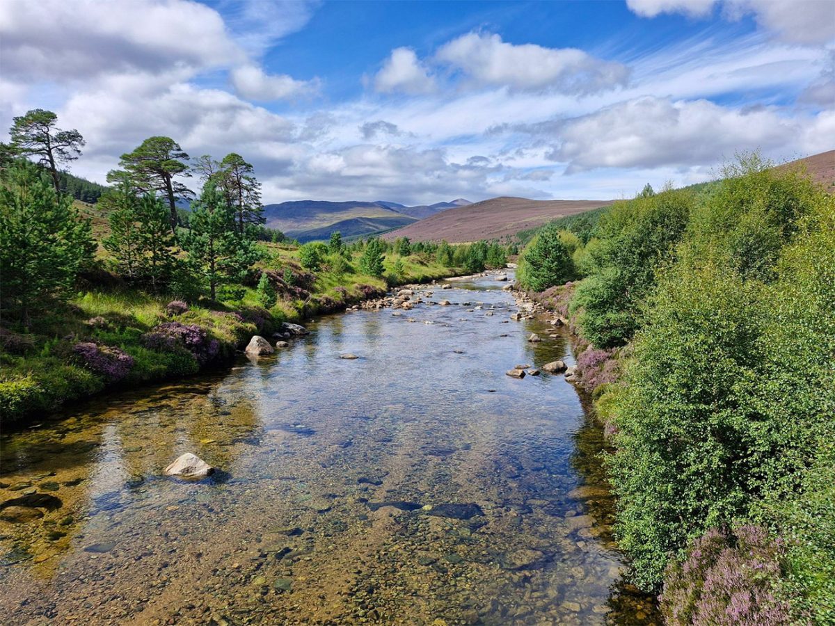
Turn left and follow this track north-west. The route crosses the Lui Water and gradually leaves the woodland behind, opening onto the long glen beneath the surrounding Cairngorm mountains. It was early morning when we set off, and we loved the birds singing and the sound of the water flowing, it’s a beautiful start to the walk.
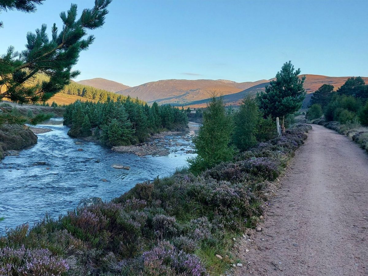
This early section are pretty straightforward underfoot, so you can really cover some distance relatively quickly. However, it is important not to underestimate the return journey: every kilometre walked towards Derry Lodge must eventually be repeated at the end of an already demanding day, so make sure you are eating regularly up and down and you have plenty of water and all the essentials you need.
Continue along the track for several kilometres towards Derry Lodge. Bicycles are sometimes used for this approach, but the complete route described here is a walking circuit beginning and ending at Linn of Dee.
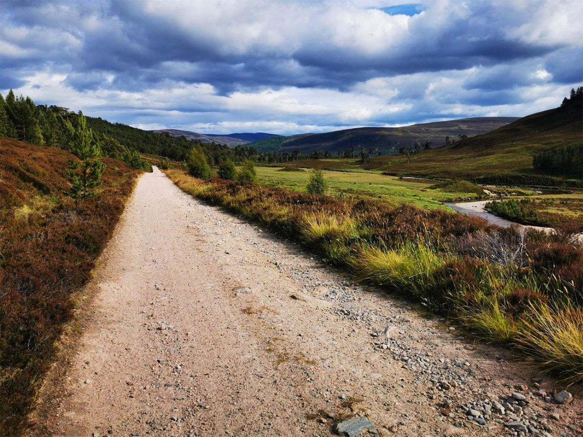
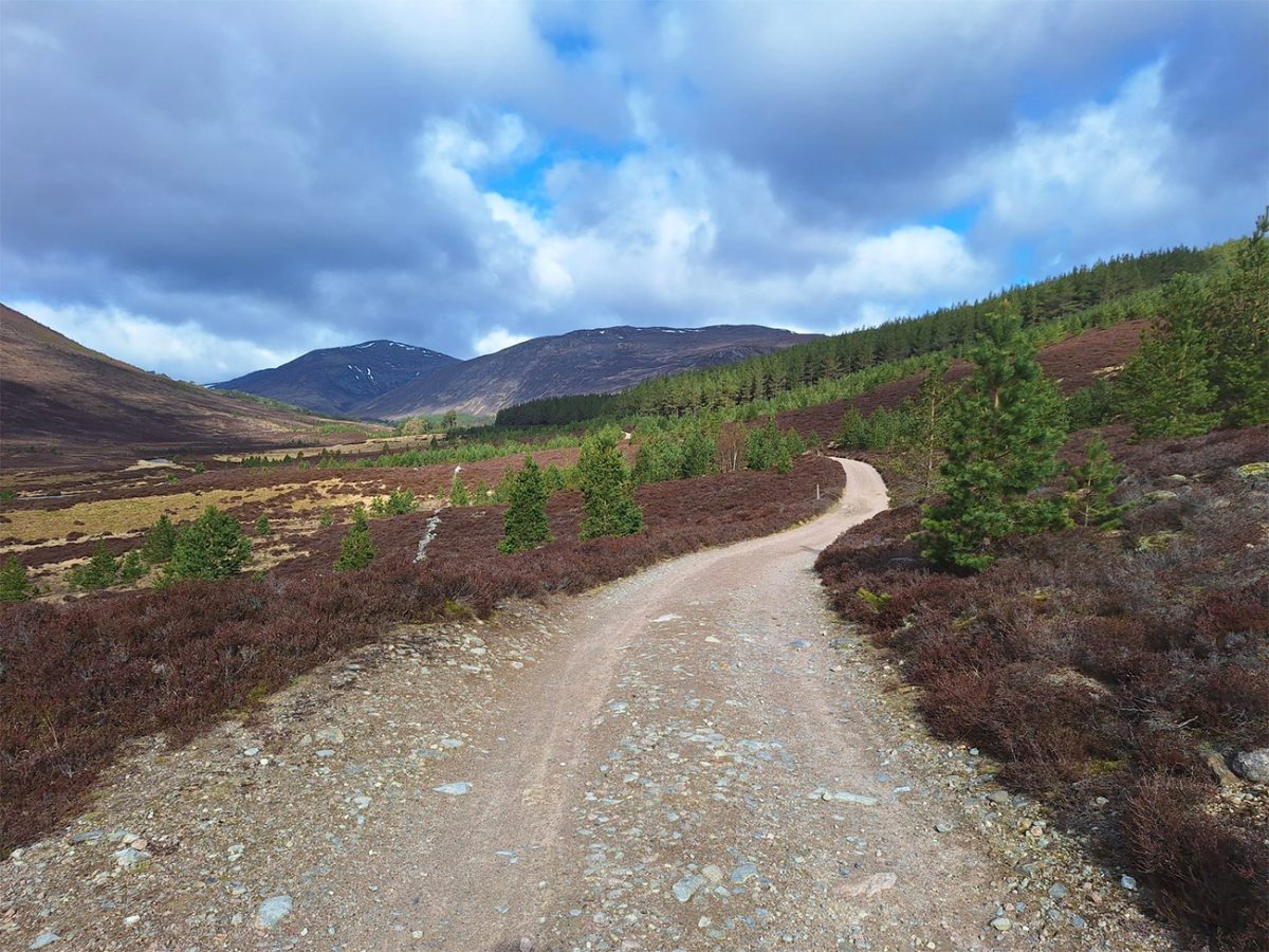
As you approach Derry Lodge you’ll see that is stands among some of the most attractive Caledonian pinewood in the Cairngorms. The former shooting lodge is closed, but the surrounding paths form an important junction for routes into Glen Derry, Glen Luibeg and the central plateau.
Continue past Derry Lodge, keeping right near the mountain rescue building and crossing the Derry Burn by footbridge. Turn left on the far side and follow the path across the open flats.
I would imagine this section could be boggy, especially after heavy rain, but you’ll see that the path improves after entering the pinewoods and then continues westwards into Glen Luibeg.
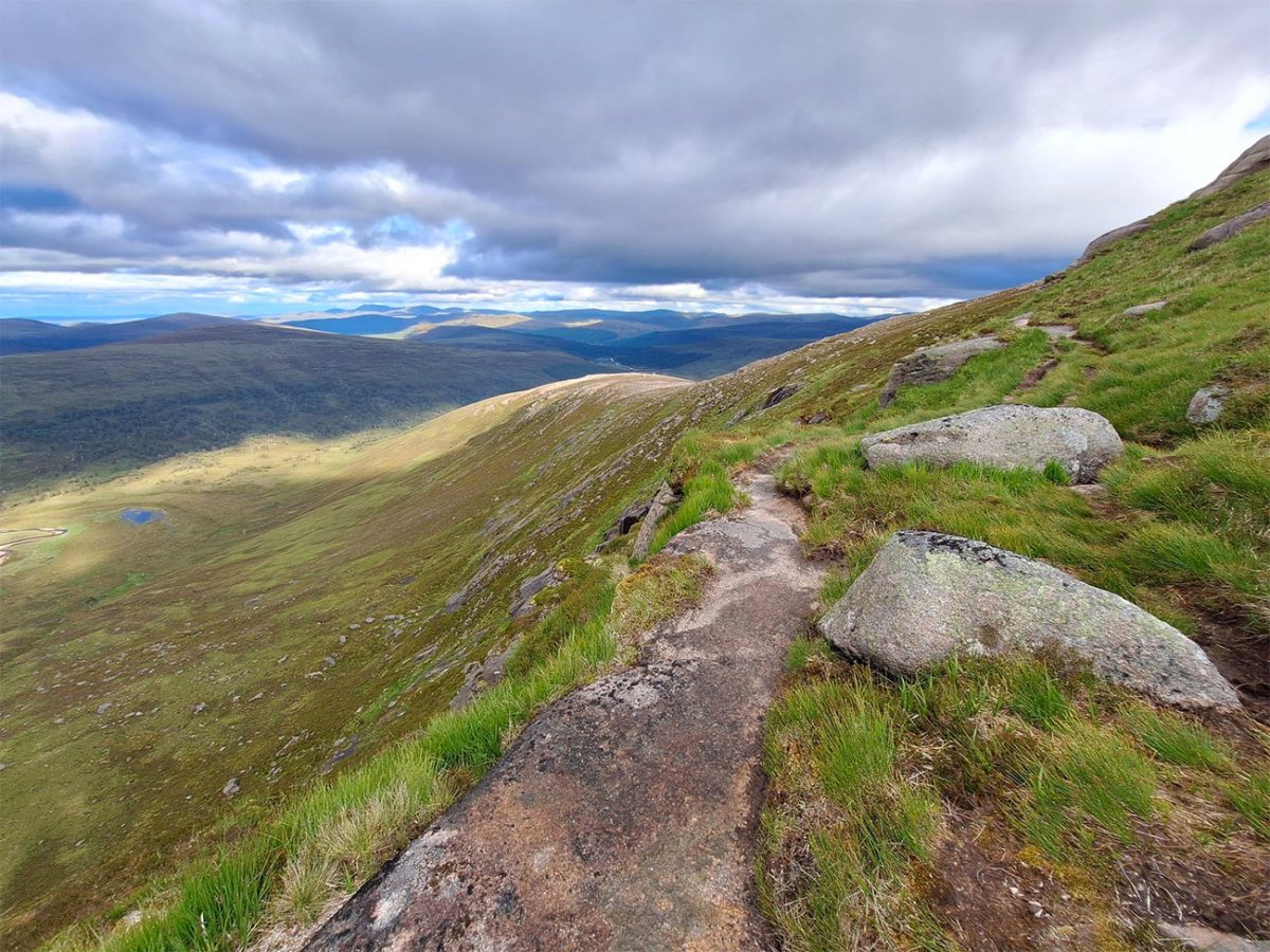
The trees gradually thin out as the route reaches the upper part of the glen, and from this area, you will see the long rise of Sròn Riach which leads towards Ben Macdui, while the cliffs of Coire Sputan Dearg form an imposing wall above Lochan Uaine. It’s all starting to get very dramatic, and in honesty it made me think of trying to do this in the thick of winter, you would really need to be confident in your abilities and have all the equipment to make your way around safely.
At a fork near an area of regenerating woodland, keep right for the standard Sròn Riach ascent. The left-hand alternative leads towards Càrn a’ Mhàim and would create a longer, substantially harder route. I have created a GPX file that is free to download above, I would strongly advise to use tech in this area.
Continue into upper Glen Luibeg. The landscape becomes increasingly remote, with no roads, buildings or easy escape routes once you move beyond Derry Lodge.
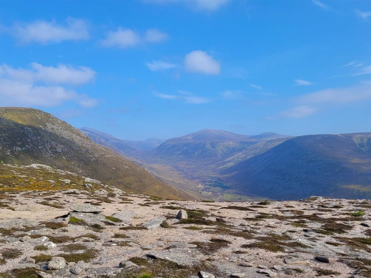
The route eventually reaches a crossing of the Luibeg Burn. During normal water levels this is usually straightforward, but heavy rain or snowmelt can make burns throughout the Cairngorms difficult or dangerous to cross.
Never force a crossing through fast or deep water. Search upstream for a safer line or turn back if the burn cannot be crossed without unacceptable risk.
Once across, follow the path as it begins climbing Sròn Riach. This is a long, sustained ascent rather than a brief summit climb, and sensible pacing is important with many hours of walking still ahead.

Looking back, the views extend along Glen Luibeg towards Derry Lodge and the wooded landscape around Linn of Dee. Càrn a’ Mhàim rises prominently on the opposite side of the glen.
The path reaches the upper section of Sròn Riach before descending slightly into a shallow dip. The climbing then resumes beside the broken cliffs of Coire Sputan Dearg.
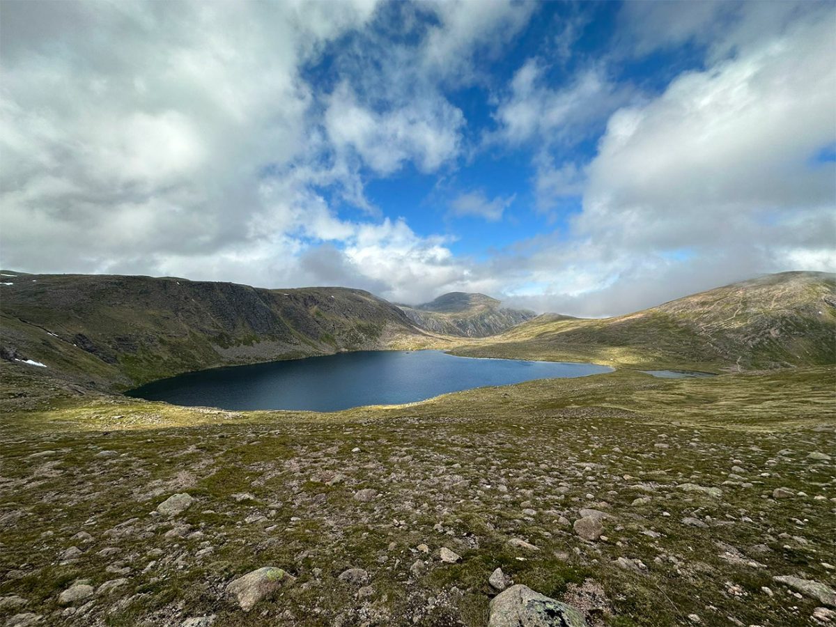
Remain well back from the corrie edge, especially in cloud, strong winds or winter conditions. Cornices can form above steep drops when snow is present and may extend beyond solid ground.
The route reaches a cairn close to the edge of Coire Sputan Dearg and emerges onto the Ben Macdui plateau. This marks a major change in the character of the walk.
The high plateau is broad, exposed and covered by granite stones and boulders. In clear weather the summit direction may appear straightforward, but in cloud the landscape can become almost featureless.
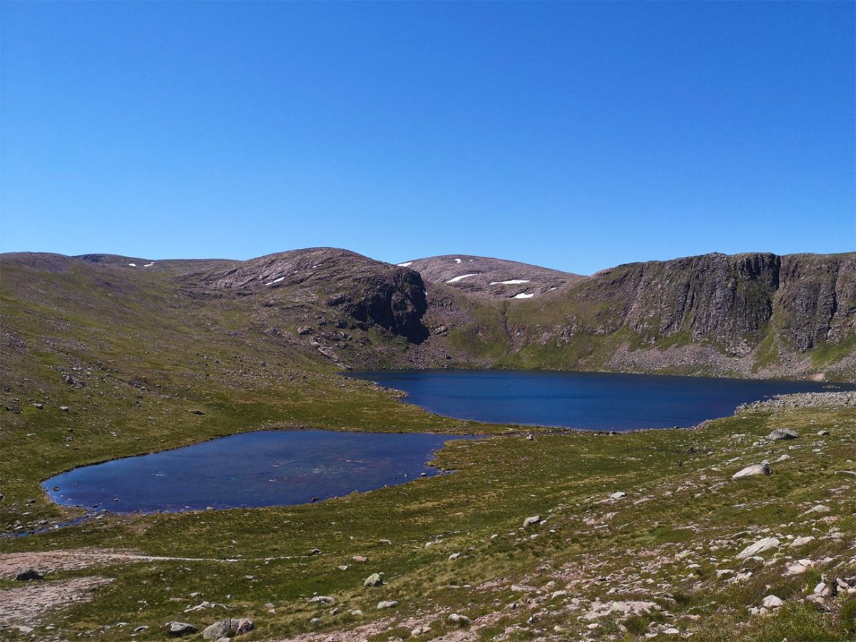
Turn west and then north-west across the plateau, crossing a shallow depression before beginning the final rise towards Ben Macdui. Shortly before the summit, the route passes the roofless remains of the Sappers’ Bothy. The shelter was built during 19th-century Ordnance Survey work when surveyors were establishing whether Ben Macdui or Ben Nevis was Britain’s highest mountain.
Continue beyond the remains to reach the large summit cairn, trig point and viewpoint indicator on Ben Macdui.
At 1,309 metres, Ben Macdui is the second-highest mountain in the United Kingdom after Ben Nevis. Its summit is less sharply defined than many British mountains because it stands on an immense high plateau.
The views can be extraordinary in clear weather, extending across the Cairngorm massif towards Braeriach, Cairn Toul, Cairn Gorm, Beinn Mheadhoin and the mountains beyond Deeside.
The summit is also associated with the legend of Am Fear Liath Mòr, the Grey Man of Ben Macdui. Walkers have long reported strange footsteps, shapes or sensations on the plateau, though isolation, cloud, wind and distorted sound provide more practical explanations.
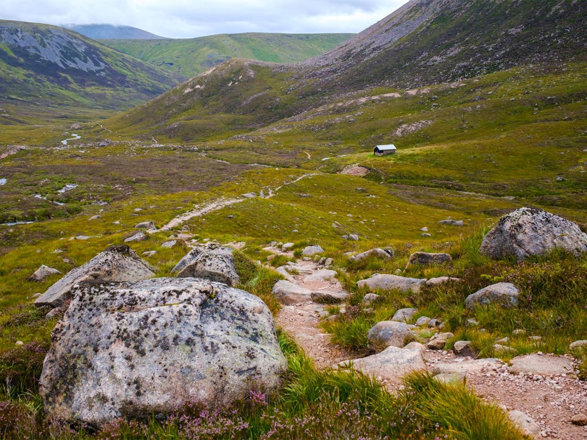
Do not linger too long if the weather is deteriorating. There is no substantial shelter on the summit, and windchill can make conditions dangerously cold even during summer.
From Ben Macdui, retrace the route south-east towards the Coire Sputan Dearg area. Do not accidentally follow paths leading north towards Cairn Gorm or east towards Loch Etchachan without confirming your position.
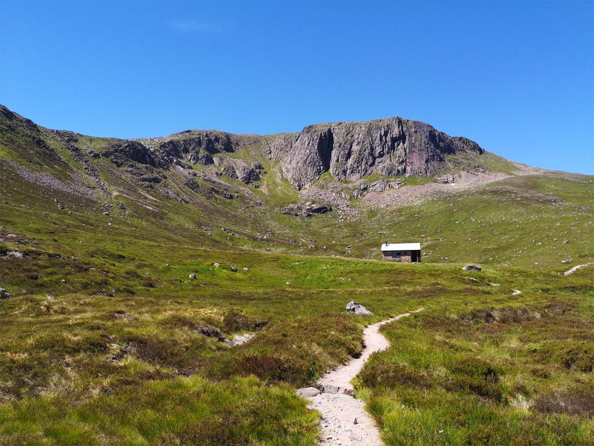
Turn onto the descending path towards the high bealach below Creagan a’ Choire Etchachan. This line was once used as a pony route to Ben Macdui and is associated with Queen Victoria’s ascent of the mountain.
The route leaves the main path before reaching Loch Etchachan and crosses towards the 1,053-metre bealach beneath Creagan a’ Choire Etchachan.
Creagan a’ Choire Etchachan is a subsidiary top rather than one of the two principal Munros on this circuit. Depending on the chosen line, it can be crossed directly or avoided by contouring around its south-western slopes.
Continue towards the lower bealach between Creagan a’ Choire Etchachan and Derry Cairngorm. This section is extremely exposed and can be difficult to navigate when cloud obscures the neighbouring corries and summits.
The ascent towards Derry Cairngorm crosses extensive granite boulder fields. Progress can be considerably slower than distance alone suggests, with each step requiring care and balance.
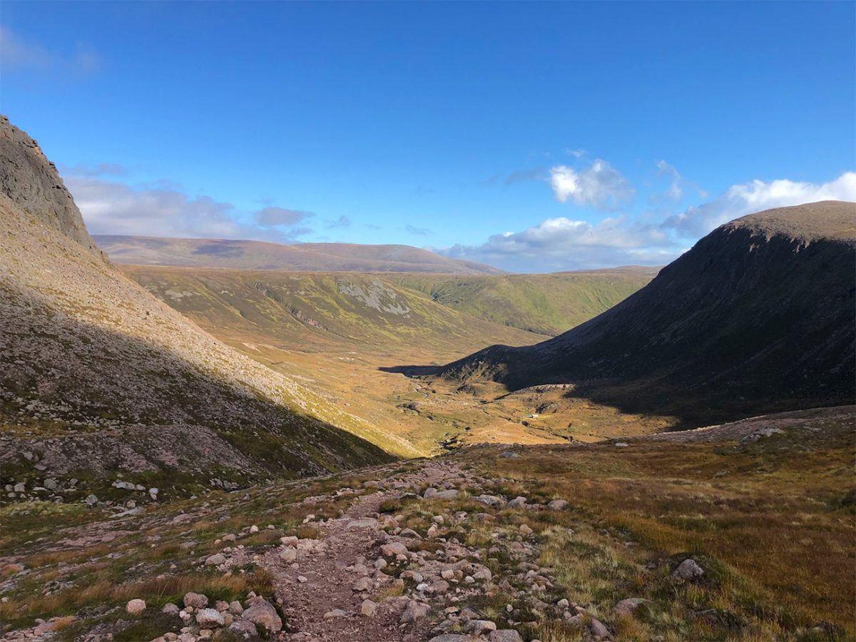
Eventually the route reaches the broad ridge of Derry Cairngorm. Continue along it towards the main summit cairn.
Derry Cairngorm reaches 1,155 metres and is the second Munro on the route. Although lower than Ben Macdui, its exposed boulder-covered ridge and long approach make it a substantial mountain in its own right.
The summit provides excellent views back towards Ben Macdui and the great cliffs surrounding Loch Etchachan. To the south and east, the landscape opens towards Deeside and the lower reaches of Glen Derry.
From the summit, continue south-east across further granite blocks. This section can feel slow and tiring after the earlier ascent of Ben Macdui.
The boulder field gradually gives way to a clearer path descending towards the bealach before Càrn Crom.
Follow the path over Càrn Crom, the final notable rise on the ridge. Although not a Munro, it remains a significant point in the descent and provides the last high-level views before returning to the glens.
Continue south-east towards Creag Bad an t-Seabhaig. The path descends more steeply through rocky ground before gradually entering the upper edge of the pinewoods around Derry Lodge.
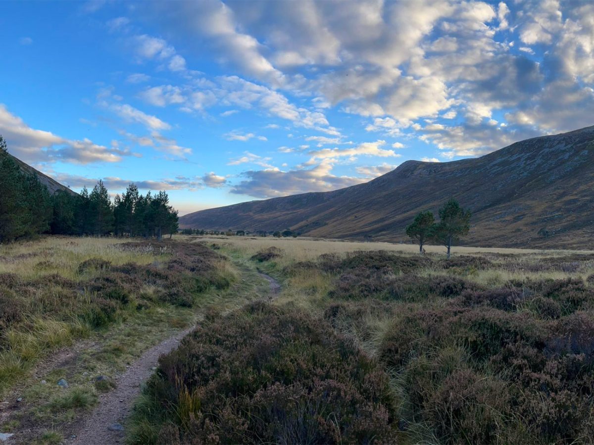
The return of trees, streams and softer ground feels really good after a very long day and a lot of walking. But you still need good concentration as fatigue could be setting in and slips and navigational errors are more likely late in a long day.
Follow the path through the woodland until it returns to Derry Lodge.
From Derry Lodge, rejoin the broad estate track used at the beginning of the walk. Approximately five kilometres of walking still remains between the lodge and Linn of Dee.
The final track can feel much longer than it did during the morning approach. Keep food, water and a layer available rather than packing everything away after leaving the mountains.
Cross the Lui Water, pass the plantation and follow the track back towards the forest near Linn of Dee.
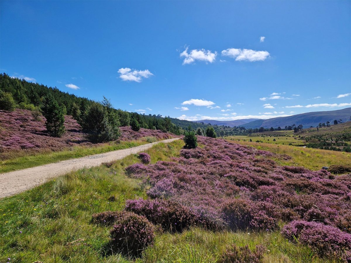
Leave the main estate track at the appropriate junction and follow the woodland path and boardwalk back to the car park.
The complete circuit is approximately 18 miles or 29 kilometres, with around 1,068 metres of ascent. Strong walkers may complete it in around nine hours, but allowing 9–11 hours is more realistic for most experienced hillwalkers.
An early start is essential. The walk should not be begun if there is insufficient daylight, an uncertain forecast or doubts about completing such a long distance over rough ground.
There are no staffed facilities, food outlets or dependable sources of treated water beyond the start. Streams may contain contaminants, so carry enough water or use an appropriate filtration or purification system.
Mobile reception is unreliable throughout the interior of the Cairngorms. Download maps and the GPX route in advance, carry a paper map and compass and make sure you can use them accurately.
In settled weather and good visibility, this is one of the best walkins in the UK that gives the feeling of scale and wilderness. The journey through Glen Luibeg, across Ben Macdui and over the boulder-covered ridge of Derry Cairngorm is one of Scotland’s great mountain circuits.

Walk this route yourself in 3D!
The Video is a 3D walk through of this route; it will give you a unique sense of having walked through the route before you start.
I have created 3D Videos of my adventures and have shared them with the OutdoorActive community as well as my walking community.
Ben Macdui Walk FAQs
Is the Ben Macdui circular walk suitable for beginners?
What is the best time of year to complete the route?
Can the Ben Macdui circuit be walked in winter?
Are dogs allowed on the route?
Where can I park for this route?
Is the Ben Macdui route signposted?
Are there toilets or facilities on the route?
What equipment should I carry?
Is there mobile phone reception?
Can I wild camp along the route?

Water-to-Go Named Best Watter Bottle for Travel. Click www.watertogo.eu + 20% Discount Using – ‘WMW20’

AllTrails: Trail Guides & Maps for Hiking, Camping, and Running | AllTrails ‘Plus’ 30% OFF – Read my ‘Full Review‘ for more details.