

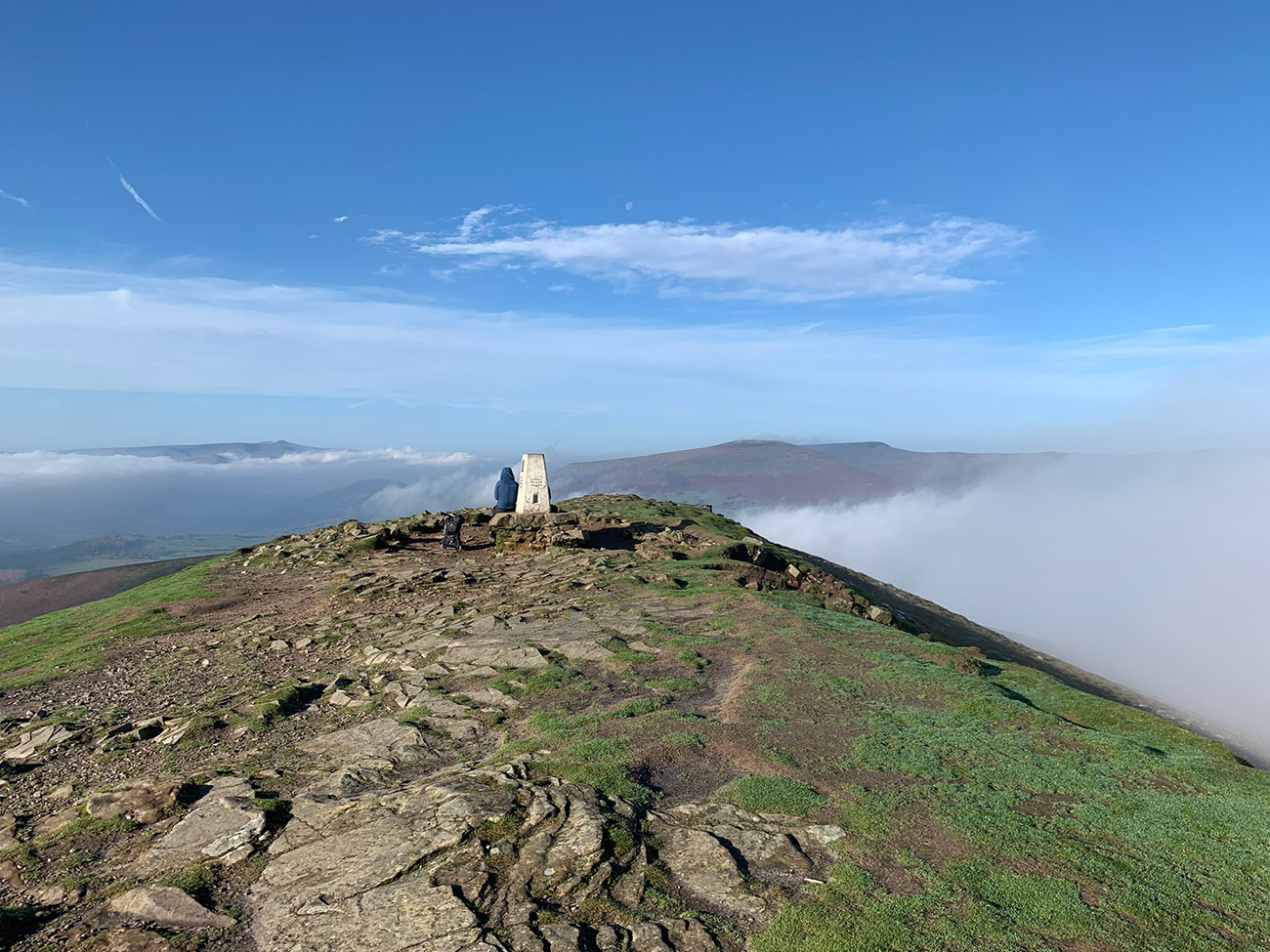
Sugar Loaf Mountain is one of the most recognisable sights around Abergavenny and one of my favourite mountains in South Wales. Standing at 596 metres, it offers enormous views over the town, the Black Mountains and towards the central Bannau Brycheiniog, without requiring a major mountain expedition.
There is no single Sugar Loaf walk. You can approach the summit from Abergavenny, climb through St Mary’s Vale Wood, follow a more traditional route or turn it into a longer adventure from Crickhowell. This guide will help you compare my three circular routes, understand the parking options and choose the walk that best suits you.
Guide updated: September 2026
Choose Your Sugar Loaf Walk
I have walked Sugar Loaf from several directions, and each route offers something different. The St Mary’s Vale route has the greatest variety, the classic route provides a more straightforward mountain day, and the Crickhowell circular is the longest and toughest option.
St Mary’s Vale Woodland Circular
A varied circular from Abergavenny, climbing through the atmospheric St Mary’s Vale Wood before reaching the open mountain and returning through the Deri Allt valley.
- Distance: 6.6 miles / 10.6 km
- Time: Approximately 2.5–3.5 hours
- Difficulty: Moderate
- Best for: Woodland, varied terrain and a quieter ascent
- Start: Abergavenny
Classic Easier Sugar Loaf Circular
This is my more straightforward Sugar Loaf route from Abergavenny. It is slightly longer than the St Mary’s Vale circuit, but the easier description refers to the approach and character of the walk rather than its mileage.
- Distance: 6.9 miles / 11.1 km
- Time: Approximately 2.5–3.5 hours
- Difficulty: Moderate
- Best for: A classic introduction to Sugar Loaf
- Start: Abergavenny
Crickhowell to Sugar Loaf Circular
A longer and more demanding approach through lanes, farmland and countryside from Crickhowell. This is the route to choose when you want Sugar Loaf to become a proper full-day walk.
- Distance: 9.5 miles / 15.3 km
- Time: Approximately 4–5 hours
- Difficulty: Difficult
- Best for: A longer countryside and mountain adventure
- Start: Crickhowell
Sugar Loaf Route Comparison
| Route | Distance | Difficulty | Best feature |
|---|---|---|---|
| St Mary’s Vale | 6.6 miles | Moderate | Woodland and varied terrain |
| Classic circular | 6.9 miles | Moderate | More straightforward introduction |
| From Crickhowell | 9.5 miles | Difficult | Longer countryside adventure |
Where Is Sugar Loaf Mountain?
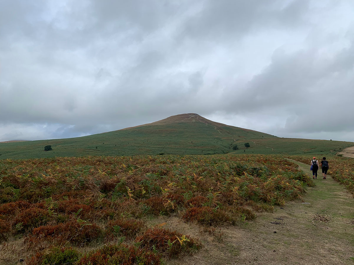
Sugar Loaf rises immediately northwest of Abergavenny in Monmouthshire, on the southeastern edge of Bannau Brycheiniog National Park. Its distinctive shape makes it easy to recognise as you approach the town.
The mountain sits near the Blorenge and Skirrid, creating the three summits used in the annual South Wales Three Peaks Trial. I take part in that challenge regularly, but Sugar Loaf was also the first mountain I began walking on Sunday mornings before I gained the confidence and experience to explore farther afield.
That personal connection is one reason it remains one of my favourites. It is a proper mountain walk, but its proximity to Abergavenny makes it approachable and gives you plenty of options for food, coffee or a wander around town afterwards.
Parking for Sugar Loaf Mountain
Where you park depends on the route you choose. Some walkers drive higher onto the mountain, while my two Abergavenny routes begin lower down and make the ascent part of the walk.
Starting from Abergavenny
My St Mary’s Vale and classic circular routes begin near Avenue Road and the cricket club. This is a residential area, so park considerately, avoid blocking driveways and check all local restrictions when you arrive.
Starting lower down creates a longer walk, but it also lets you experience the transition from town to lanes, farmland, woodland and finally the open mountain.
Upper Sugar Loaf parking
There are parking areas higher on the Sugar Loaf, reached by narrow lanes from the A40 side of Abergavenny. These can provide a shorter approach to the summit, but the lanes are steep and narrow, with limited passing space. Parking can fill quickly at popular times.
Starting from Crickhowell
The Crickhowell route begins in the town and approaches Sugar Loaf through surrounding lanes and farmland. Check the detailed route guide for the latest suggested start point and always follow the signs, restrictions and payment information displayed where you park.
Why Is Sugar Loaf So Popular?
Sugar Loaf combines the feeling of climbing a mountain with the reassurance of being close to Abergavenny. You can see the summit as you approach the town, and its distinctive shape immediately makes you want to find a route to the top.
It also offers far more variety than its simple outline suggests. Depending on your route, you can walk through residential streets, quiet lanes, farmland and woodland before emerging onto the open slopes. That change of scenery makes the journey feel like much more than a direct climb to a summit.
Although Sugar Loaf is well known locally, it can feel much calmer than mountains such as Pen y Fan. It is still important to prepare properly: the summit is exposed, visibility can disappear quickly, and wind or rain can completely change the character of the walk.
Views from the Sugar Loaf Summit
On a clear day, the summit provides extensive views over Abergavenny and the surrounding countryside. The Blorenge stands prominently across the valley, with the Skirrid nearby, while the view opens north and west towards the wider Black Mountains and Bannau Brycheiniog.
The final climb is worth taking slowly. As you gain height, the town becomes smaller beneath you and the surrounding ridges begin to reveal themselves. It is one of those summits where I still stop and look around, even after returning many times.
Planning Your Sugar Loaf Walk
- Navigation: Download the GPX supplied with your chosen route and carry a suitable backup.
- Footwear: Wear walking shoes or boots with reliable grip, particularly after rain.
- Weather: Check the mountain forecast rather than relying only on conditions in Abergavenny.
- Water: Carry enough for the complete route; there are no facilities on the mountain.
- Dogs: Keep dogs under close control, particularly around livestock.
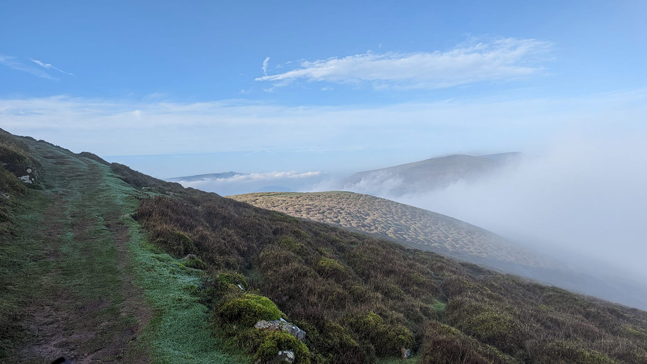
- Paths: Expect mud, uneven ground and exposed sections depending on the route and season.
- Leave no trace: Take everything home and respect farmland, gates and local residents.
Sugar Loaf Mountain FAQs
How high is Sugar Loaf Mountain?
Sugar Loaf Mountain is approximately 596 metres or 1,955 feet high. Although it falls just short of the usual 600-metre mountain classification used in some lists, it provides the terrain, exposure and views of a proper mountain walk.
How long does it take to walk up Sugar Loaf?
The time depends on your starting point and chosen route. My two Abergavenny circular walks are approximately 6.6 and 6.9 miles and generally take around three hours. The 9.5-mile Crickhowell route is a longer outing for which I would allow approximately four to five hours.
What is the easiest Sugar Loaf walk?
My classic Abergavenny circular is the more straightforward of the three routes featured here. Easier does not mean effortless, however, and it still includes a sustained climb, mountain terrain and an exposed summit.
Is there a circular walk up Sugar Loaf?
Yes. All three routes featured in this guide are circular walks. They start from Abergavenny or Crickhowell and range from 6.6 to 9.5 miles.
Where can I park for Sugar Loaf?
You can begin lower down in Abergavenny, use one of the limited upper parking areas reached by narrow lanes, or start from Crickhowell for the longer route. Always check local signs and restrictions when you arrive.
Is Sugar Loaf suitable for beginners?
It can be a good first mountain for reasonably fit walkers who choose an appropriate route, check the weather and carry suitable equipment. Beginners should allow plenty of time and avoid poor visibility or severe weather.
Can children walk up Sugar Loaf?
Active children with walking experience may enjoy Sugar Loaf, particularly on a shorter approach. Adults should consider the distance, weather and exposed summit before setting out and keep children closely supervised.
Can I download a Sugar Loaf GPX route?
Yes. Each of my three detailed route guides includes a free GPX download or navigation link. Choose your preferred walk from the route comparison above.
Are there facilities on Sugar Loaf?
There are no cafés, toilets or shops on the mountain itself. Abergavenny and Crickhowell both have places to eat, drink and buy supplies before or after your walk.
Is Sugar Loaf quieter than Pen y Fan?
In my experience, Sugar Loaf often feels quieter than Pen y Fan, particularly away from the most direct upper approaches. Weekends and fine-weather days can still be busy, so an early start is worthwhile.
My walking guides are free to use. Some links elsewhere on Welsh Man Walking are affiliate links, which may earn me a small commission at no additional cost to you and help support the website.