
Region: Burley — New Forest National Park, England
Places To Stay: Great bases for this walk are Burley, Ringwood, Brockenhurst and Christchurch all within easy driving distance of Burley. For a wider choice across the National Park, browse places to stay in the New Forest.
Below are a few ideas for day trips and experiences around the New Forest National Park, with GetYourGuide offering great discounts and easy booking + a huge amount of options in the Hampshire area.
For a wider choice of accommodation in the New Forest, Booking.com has a huge variety to browse through.
This is a walk that shows off the New Forest at its best, it has wide open heathland, ancient woodland edges, wild ponies roaming freely, and that feeling of space you don’t always get in the south of England. Starting from the village of Burley, the route heads straight out onto the common before drifting into quieter areas like Shappen Bottom and Whitten Pond. It’s not a tough walk, but it’s one you’ll remember for the atmosphere alone.
Getting There: Directions, GPX and Map
- Start/Finish: Burley Common Car Park
- Parking: Several pay & display car parks in Burley village
- Public transport: Limited — best reached by car (nearest stations: Brockenhurst / New Milton)
- Download the GPX file here.
- Follow this route on my Outdooractive profile.
Travel Data: I use eSIMs to stay connected — quick setup and no roaming faff. Sim Local has been solid in Italy/Europe with good prices and coverage.

Hike Profile
- Distance: ~6.5 km (circular)
- Duration: ~2.5 hours (longer with stops / photos)
- Ascent/Descent: ~19m
- Highest Point: ~72
- Difficulty: Easy (good paths, but it’s still an exposed area and can be boggy)
- Terrain: Wide gravel tracks
Route Overview (Clockwise from Burley)
| Section | From → To | Path | Distance | Notes |
|---|---|---|---|---|
| 1 | Common → Shappen Bottom | Heathland trails | ~2 km | Wide open landscape, peaceful |
| 2 | Shappen Bottom → Greenberry Bridge | Track / crossing | ~1 km | Small bridge crossing |
| 3 | Bridge → Whitten Pond | Heath / tracks | ~1.5 km | Quieter section, great wildlife |
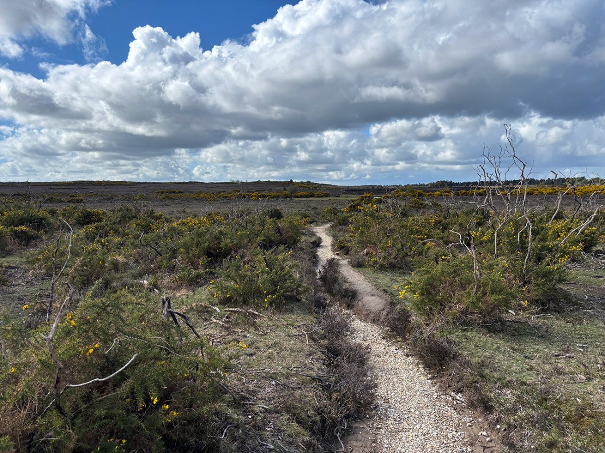
| 4 | Whitten Pond → Slap Bottom → Burley | Open heath paths | ~2 km | Gradual return across open ground |
Flying into London? Quick Skyscanner Checker
From Heathrow, drive to the New Forest, Skyscanner found the cheapest flights, try the flight widget above.
Hike Description
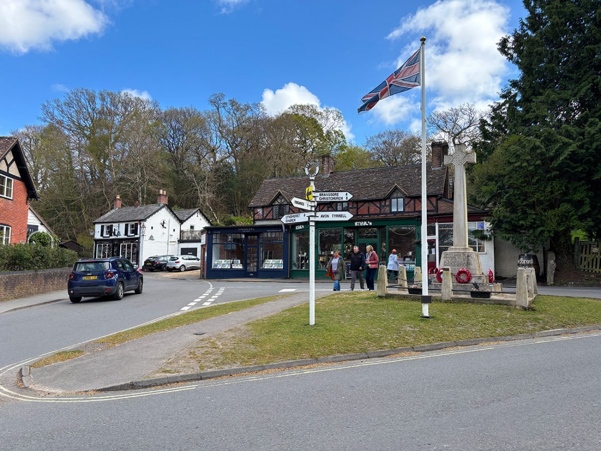
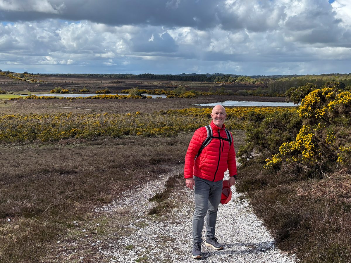
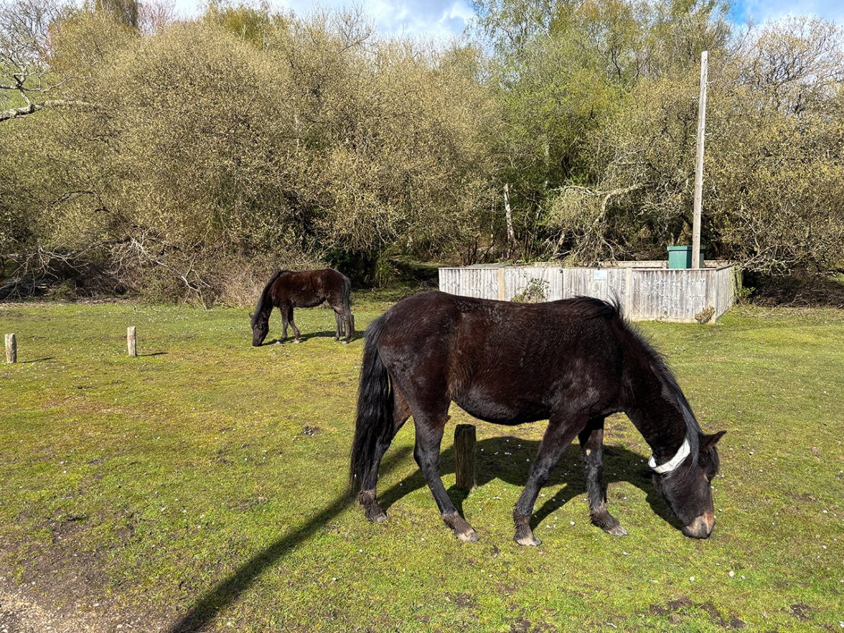
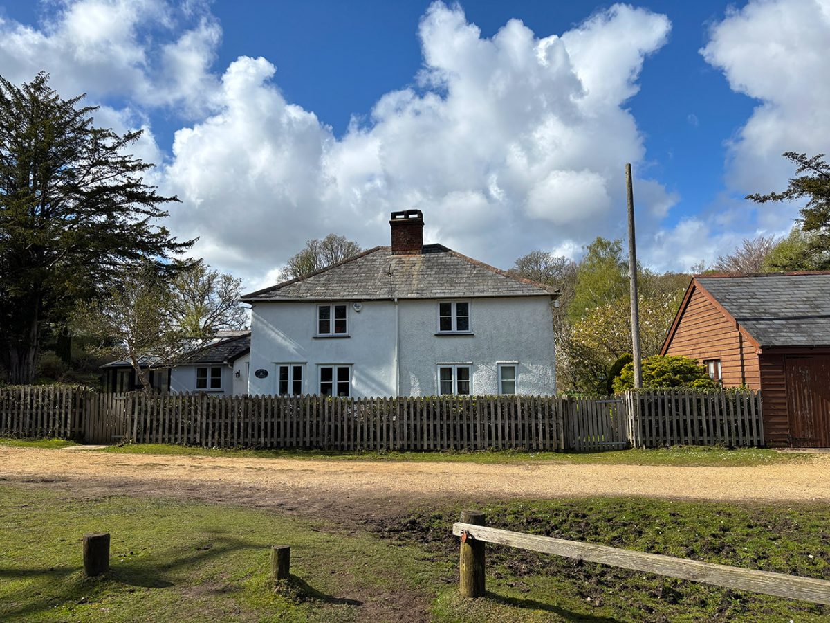
The walk starts right in the heart of Burley, one of the most characterful villages in the New Forest. Within minutes, you leave the roads behind and step straight out onto the open common, where ponies and cattle roam freely. From here on in you can slow down a bit, there’s no rush out here.

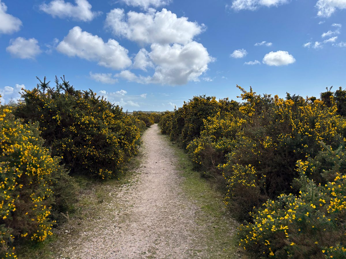
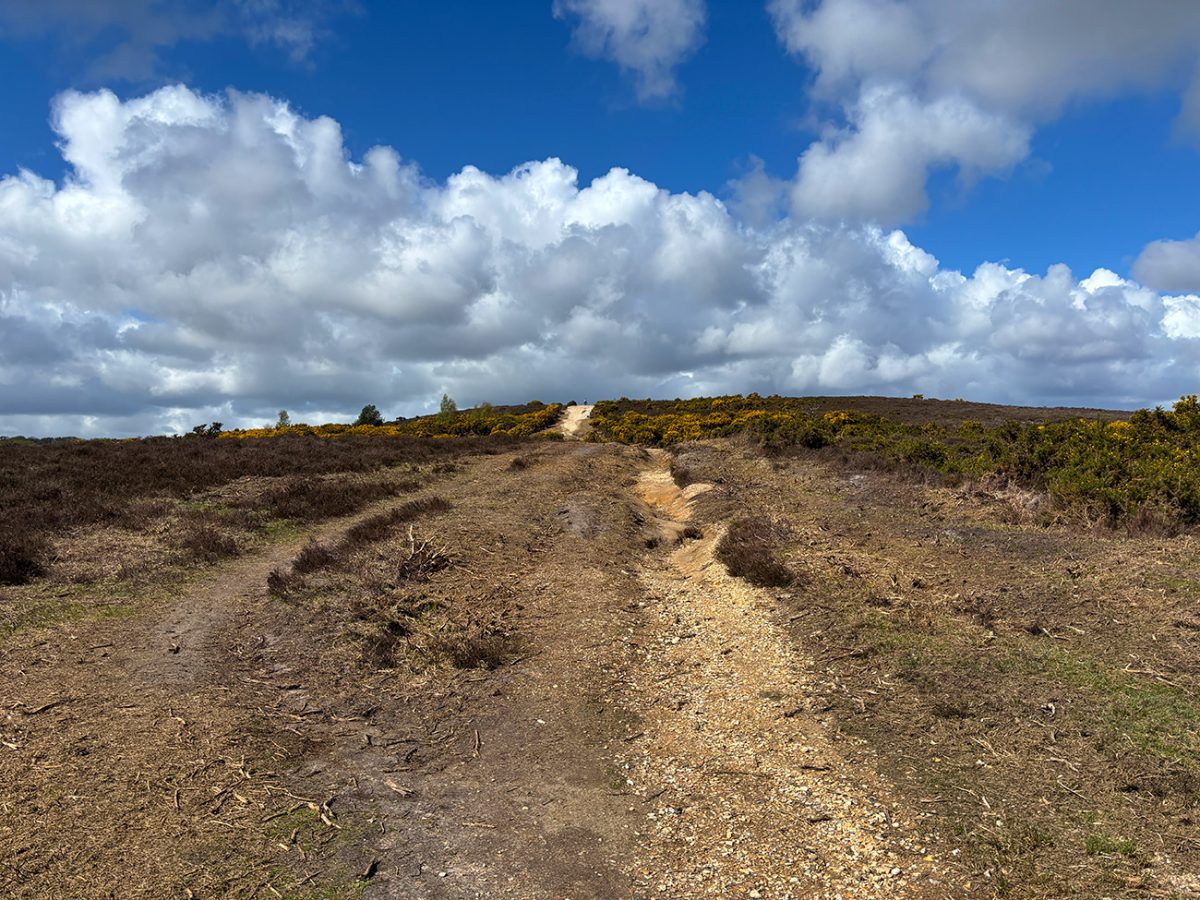
As you move away from the village, the landscape opens up into classic New Forest heathland. This area has been shaped over centuries by grazing and traditional land use, creating that mix of purple heather, gorse, and sandy tracks that the Forest is known for. It’s not dramatic in the mountain sense, but there’s something about the space and quiet that really works.
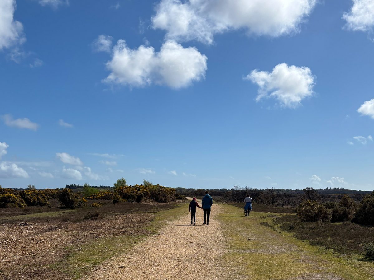
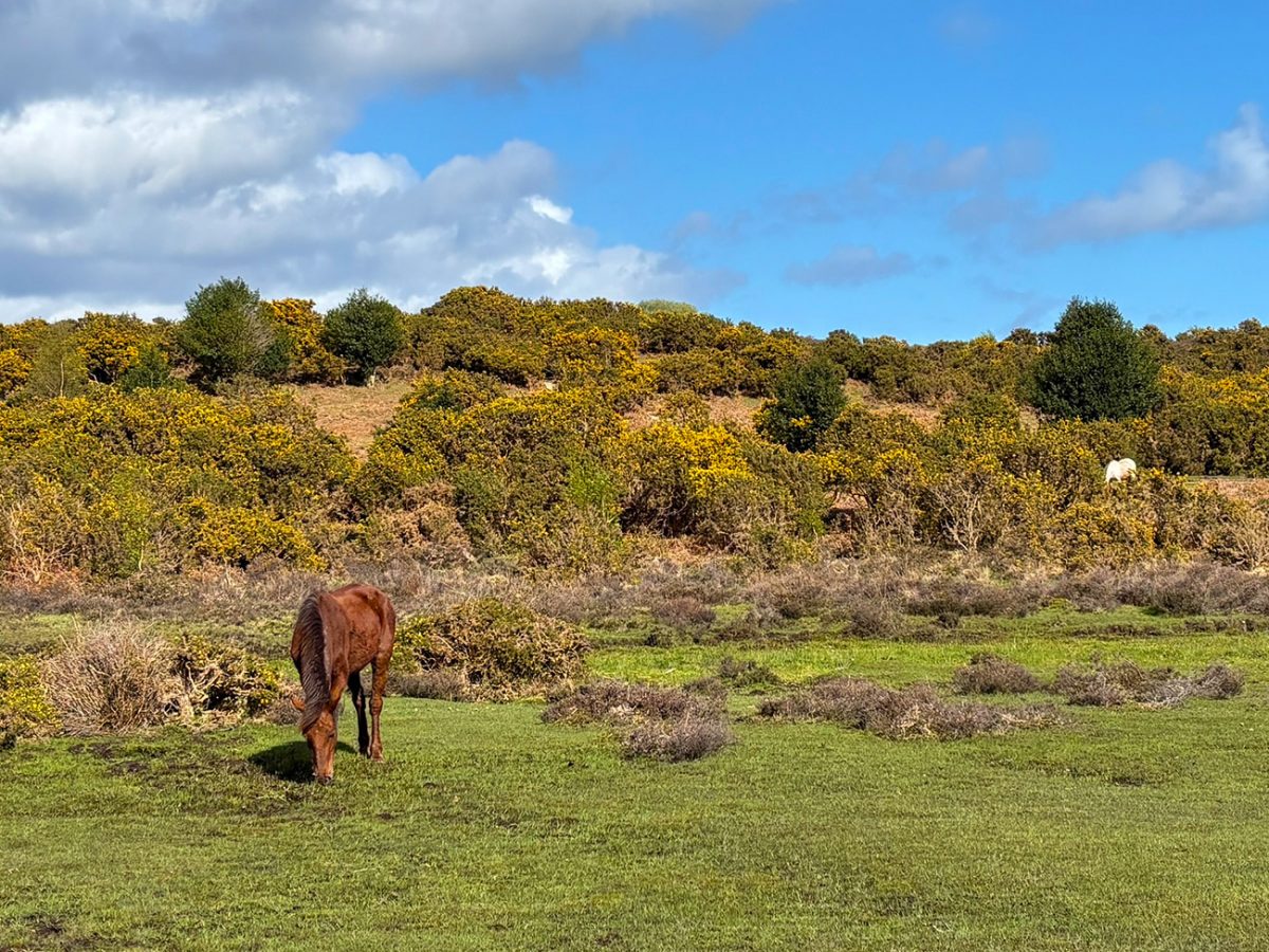
Heading towards Shappen Bottom, the walk feels more remote. This low-lying area cuts gently through the heath, often holding water in wetter months, and it’s a good spot to keep an eye out for wildlife. You’ll often see ponies grazing out here, completely unfazed by walkers passing through.
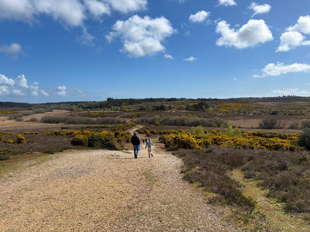
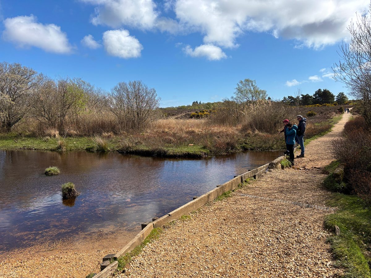
Crossing Greenberry Bridge, you get a small change of scene before the route bends right and pushes further into quieter ground. This section towards Whitten Pond is one of the best parts of the walk. It’s less busy, a bit more tucked away, and has the New Forest feel you’ve been looking for, open land, scattered trees, and long views across the heath.
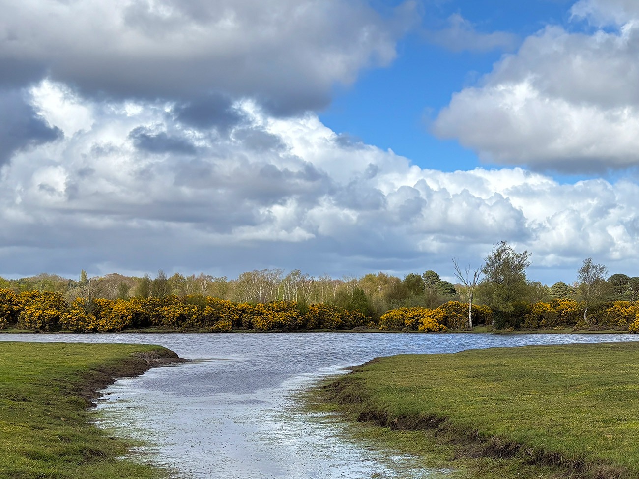
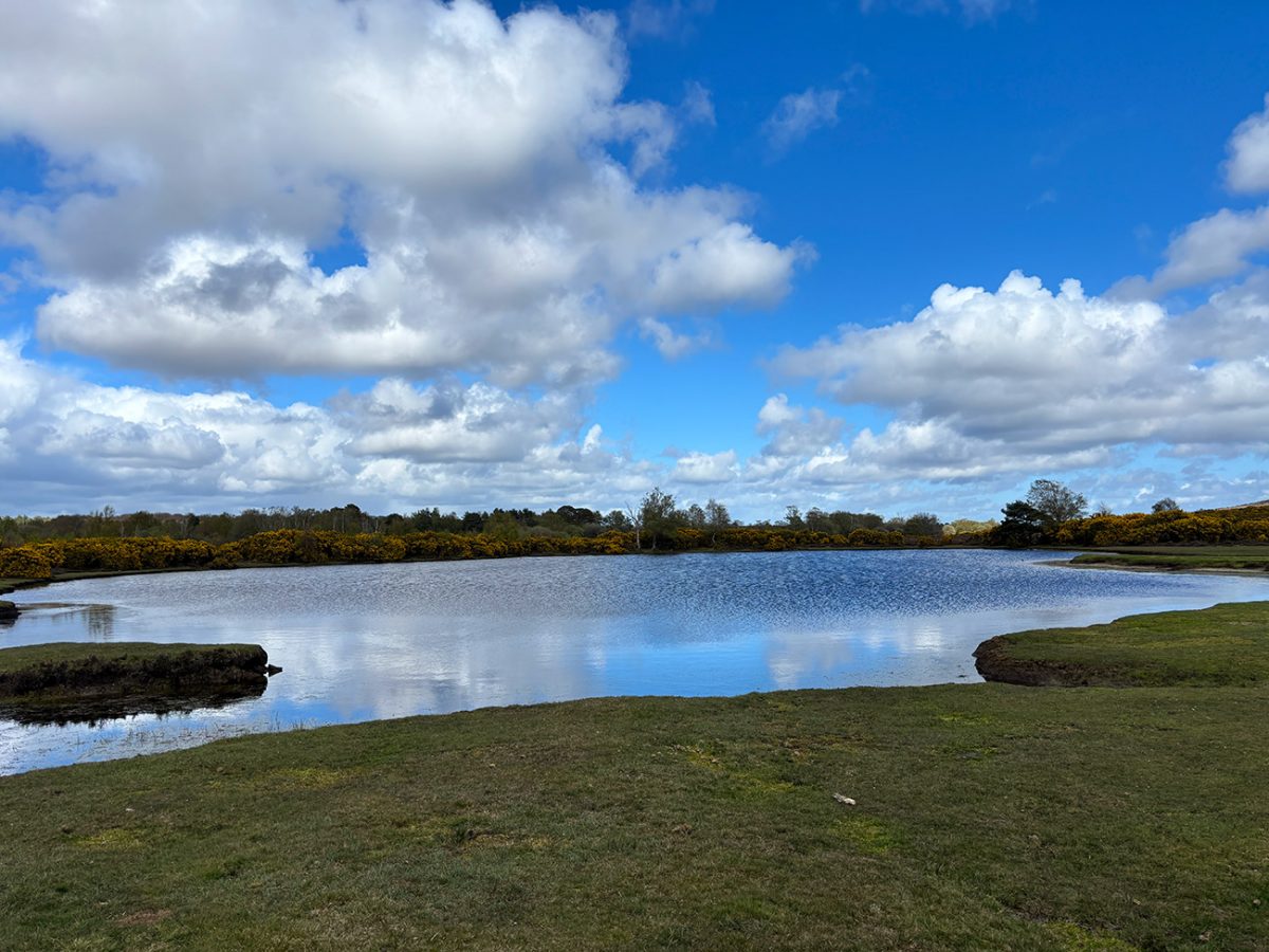
Whitten Pond itself is a great place to pause. On a still day, you’ll often get reflections across the water, and it’s a good spot for birds and wildlife. From here, the route loops around and gradually climbs back towards Slap Bottom, where the ground opens up again.

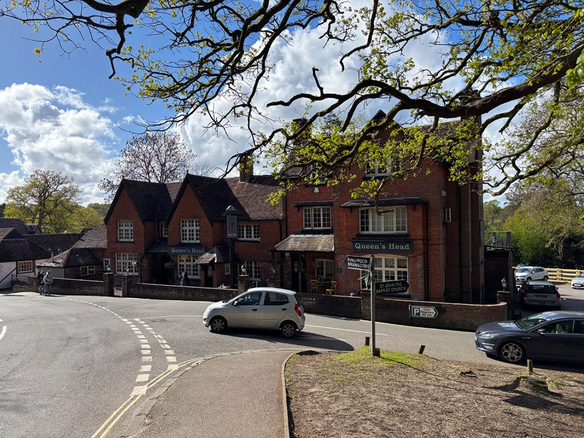
The final stretch back to Burley is easy going, giving you time to just enjoy the surroundings. As the village comes back into view, it’s worth finishing the walk properly, coffee, pub, or just a wander through one of the most unique spots in the New Forest.
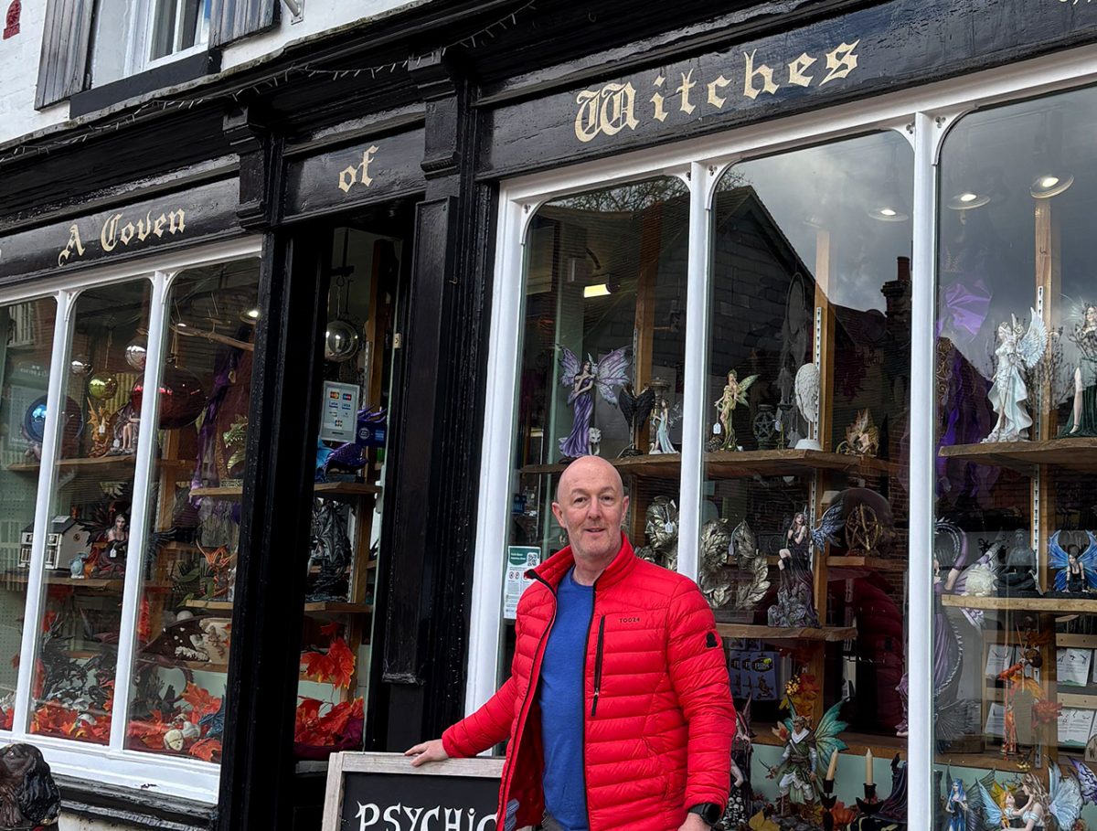
I even popped into the Coven of Witches and had my tarot cards read. Something very different, and also very interesting, it just added an extra layer to a beautiful day in Burley.
Places to Stay in Burley
Staying in Burley puts you right on the edge of the New Forest, with walking routes straight from the village. It’s a great base with pubs, cafés, and that classic forest feel. Nearby Brockenhurst is another solid option, offering more accommodation and transport links.
For a wider choice of accommodation in the New Forest, Booking.com has a huge variety to browse through.
Recommended Stays
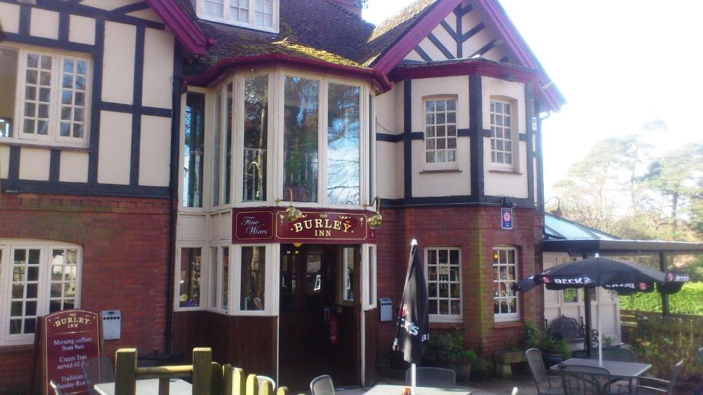
Located within the New Forest National Park, The Burley Inn offers tranquil, countryside inn accommodation. Free parking is possible on site, and free Wi-Fi is accessible in public areas.
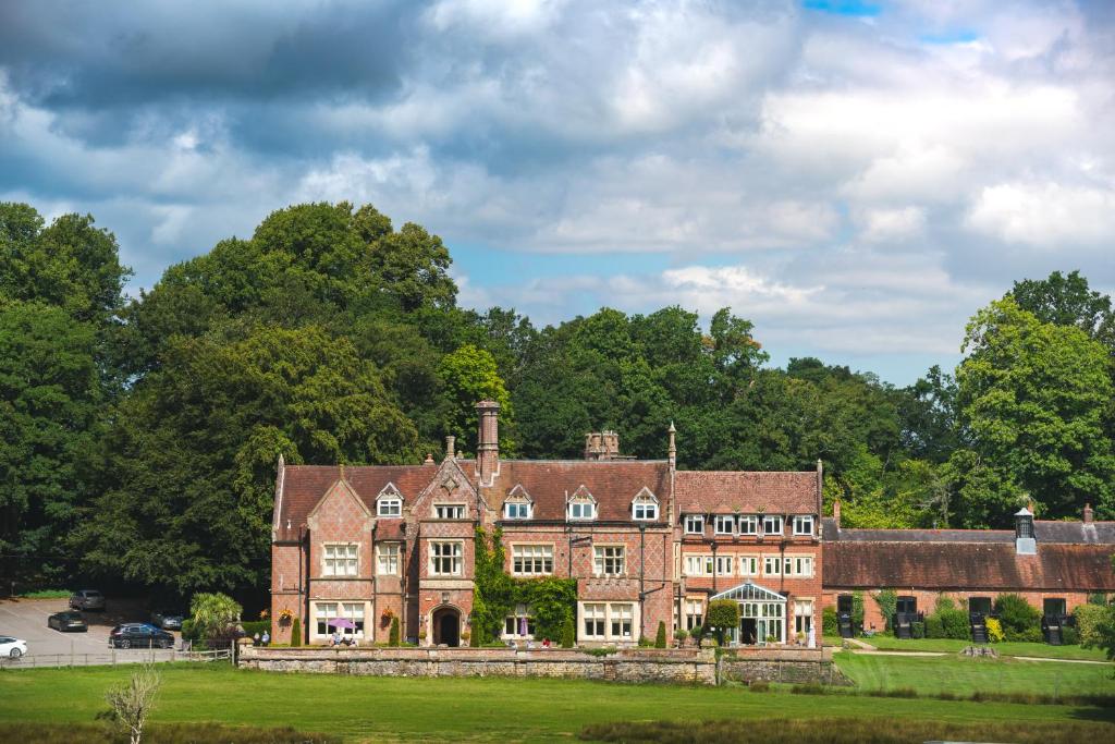
Burley Manor is a striking Grade II–listed Victorian manor house dating from 1852, nestled within 8 acres of landscaped parkland and adjacent to a red‑deer sanctuary in the heart of Hampshire’s New Forest.

AllTrails: Trail Guides & Maps for Hiking, Camping, and Running | AllTrails ‘Plus’ 30% OFF – Read my ‘Full Review‘ for more details.
Practicalities
- Start early (summer): Burley gets busy — early starts = quieter trails
- Footwear: Trail shoes ideal; can be muddy in winter
- Navigation: Open heathland can feel featureless — GPX helps
- Livestock: Ponies and cattle roam freely — give them space
- Food & drink: Plenty in Burley before/after the walk
- Toilets: Available in Burley village
- Weather: Exposed in places — little shelter on heathland
- Best season: Spring (new growth), summer (heather), autumn (colours)
Burley Heathland Walk FAQs
How long is the Burley circular walk?
Is it suitable for beginners?
Are there hills?
Can I bring a dog?
Is it well marked?
What makes this walk special?
Is it busy?
Is it good for photography?
Can I shorten the walk?
Is it good year-round?

Walk this route yourself in 3D!
The video is a 3D walkthrough of this route; it’ll give you a great idea of what to expect before you set foot on the mountain.
I’ve created 3D videos of my walks and shared them with the Outdooractive and Welsh Man Walking communities.

Water-to-Go Named Best Water Bottle for Travel. Click www.watertogo.eu + 20% Discount Using – ‘WMW20’
Disclosure: I may earn a commission if you buy via the links on this page — at no extra cost to you.