

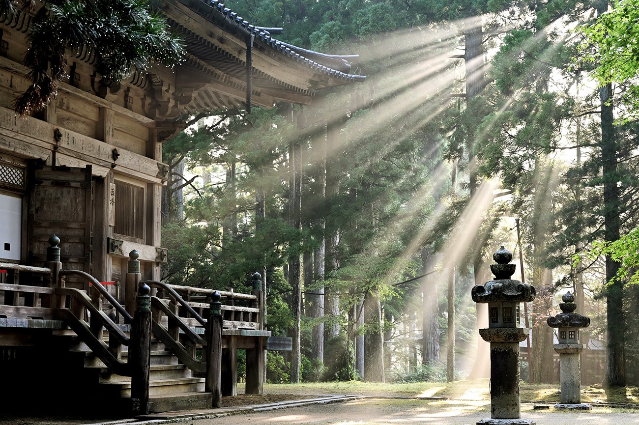
Region: Kohechi Route, Kumano Kodo — Kōyasan (Wakayama) to Kumano Hongu Taisha (Kii Peninsula), Japan
Places To Stay: The Kohechi is steeper, wilder, and more remote than Nakahechi, linking the mountaintop temples of Kōyasan with the grand shrine of Kumano Hongu Taisha. Expect classic shukubō (temple lodgings) at the start, family-run minshuku in tiny valleys, and soothing onsen stays around Totsukawa Onsen and Yunomine/Kawayu near the finish.
The Kohechi cuts directly through the heart of the Kii Mountains, linking the sacred Buddhist settlement of Kōyasan with Kumano Hongu Taisha approximately 65 kilometres to the south. Rather than following a valley or gradually losing height, the trail repeatedly climbs out of one remote settlement, crosses a high mountain pass and drops steeply into the next. Over four days, that pattern adds up to approximately 3,320 metres of ascent and more than 4,000 metres of descent.
This is generally regarded as one of the most demanding of the recognised Kumano Kodo pilgrimage routes. It is quieter and considerably more isolated than the popular Nakahechi, with long forest sections, limited transport and very little room for changing the itinerary once the walk has begun. Accommodation in Omata and Miura-guchi is extremely limited, making advance booking an essential part of the route rather than simply a recommendation.
The rewards are enormous for experienced walkers. The Kohechi combines the temples and morning rituals of Kōyasan with high passes, abandoned teahouse sites, mountain hamlets, statues lining the old pilgrimage path and a restorative night at Totsukawa Onsen. By the time the route joins the Nakahechi for its final approach to Kumano Hongu Taisha, every kilometre feels earned.
If you’re planning more walking adventures in Japan, take a look at my complete guide to the best hiking trails in Japan. It brings together all my Japanese routes, from ancient pilgrimage trails and forest-covered mountains to volcanic landscapes and the dramatic peaks of the Japanese Alps.
Looking for more trails in Japan? Visit my ‘Japan Hiking Trails‘ page.
Below are 3 ideas for trips, transfers and day tours on the Kumano-Kodo Nakahechi Pilgrimage Route, GetYourGuide offer great discounts and availability + Much more!
For a wider choice of accommodation in the Koyasan, Booking.com has a huge variety to browse through.
Flying in? Quick Skyscanner Checker
Nearest major airports: Kansai (Osaka) for Kōyasan access; Shirahama/Nanki or Osaka for Hongu area.
Getting There: Directions, GPX and App Link
- Start/Finish: Kōyasan (cable car + local bus) to Kumano Hongu Taisha (Hongu; buses to Yunomine/Kawayu/Wataze onsen areas).
- Seasonality: The Kohechi has high passes; it is generally closed mid-Dec to mid-Mar due to snow risk (southern Hatenashi-tōge may remain open). Check local advisories before you go.
- GPX: Download the GPX file here.
- You can follow this route on my Outdooractive and Komoot profiles.
Hike Profile
- Distance: ~65km over the full Kohechi (Kōyasan → Hongu)
- Duration: Typical 4 days (3–5 possible depending on fitness/logistics)
- Highest passes: 1,000m+ class (e.g., Obako-tōge, Miura-tōge, Hatenashi-tōge)
- Difficulty: Challenging — steep ups/downs, long remote sections
- Terrain: Forest paths, ancient stone ways, narrow ridges, small hamlets
Stages & Distances – Typical Four-Day Itinerary
| Day | From → To | Distance | Ascent | Approx. time | Notes |
|---|---|---|---|---|---|
| Day 1 | Kōyasan to Omata | Approx. 17 km | ↑ 690 m / ↓ 840 m | 6–8 hours | Forest, ridges and some extended paved or forestry-road sections |
| Day 2 | Omata to Miura-guchi via Obako-toge | Approx. 14.5 km | ↑ 740 m / ↓ 1,090 m | 6–8 hours | Wildest and most difficult stage; high mountain terrain and limited escape options |
| Day 3 | Miura-guchi to Totsukawa Onsen via Miura-toge | Approx. 18 km | ↑ 815 m / ↓ 1,050 m | 7–9 hours | First 10 km over the pass; final 8 km largely follow Route 425 |
| Day 4 | Totsukawa Onsen to Kumano Hongu Taisha via Hatenashi-toge | Approx. 15.5 km | ↑ 1,075 m / ↓ 1,170 m | 7–9 hours | Hatenashi settlement, 33 Kannon statues and final approach to Hongu |
Distances can vary slightly depending on the location of your accommodation, current diversions and where each GPX recording begins or ends. Official walking times exclude breaks and assume a fit walker carrying a light pack in good weather.

Get a JR Rail Pass if you’re planning to move around a lot. You can buy 7–21 day passes before you go, and they give you ‘unlimited‘ rides on the bullet trains and most JR lines.

Sim Local can reduce or even eliminate your roaming fees. Click www.simlocal.com/ + 10% Discount Using – ‘WELSHMAN’
Hike Description
The Kohechi begins in Kōyasan, one of the most important centres of Shingon Buddhism in Japan. The mountain settlement was established by Kūkai—posthumously known as Kōbō Daishi—more than 1,200 years ago and now contains an extraordinary collection of temples, religious buildings and historic sites.
It is worth arriving at least a day before beginning the walk. Staying in a shukubō allows you to sleep within temple accommodation, eat the Buddhist vegetarian cuisine known as shōjin ryōri and, depending on the temple, attend morning prayers or other ceremonies. Okunoin is particularly significant: its forested cemetery leads towards the mausoleum where Kōbō Daishi is believed to remain in eternal meditation.
The Kohechi developed centuries after Kōyasan was founded, becoming a direct mountain route between Kōyasan and the sacred Kumano region during approximately the 13th and 14th centuries. It served both pilgrims and people travelling between the isolated communities of the central Kii Peninsula.
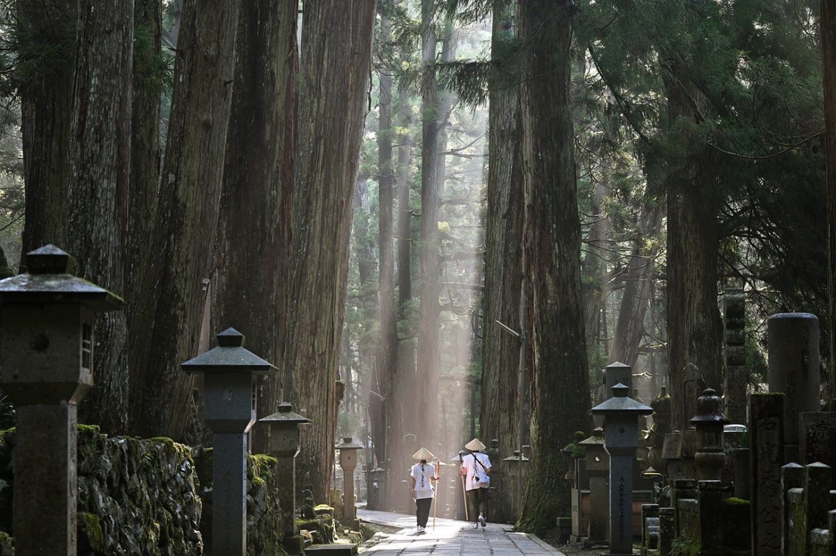
Day One: Kōyasan to Omata
Leaving Kōyasan, the first day heads south towards Omata. The route begins at altitude, but that does not make it an easy downhill stage. Instead, it repeatedly loses and regains height as it crosses forested ridges and descends into deeply cut river valleys.
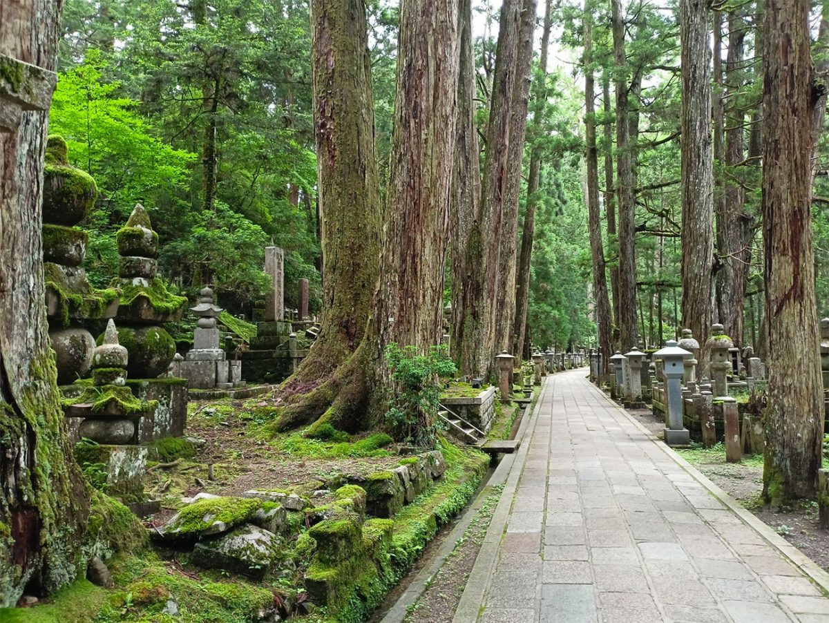
The opening stage is approximately 17 kilometres and normally takes between six and eight hours. There are longer paved stretches around Ōtaki, along part of the Kōyasan–Ryūjin Skyline and on the forestry road beyond Mizugamine. These road sections mean that the first day is not entirely a remote forest path, but they do little to reduce its physical demands.
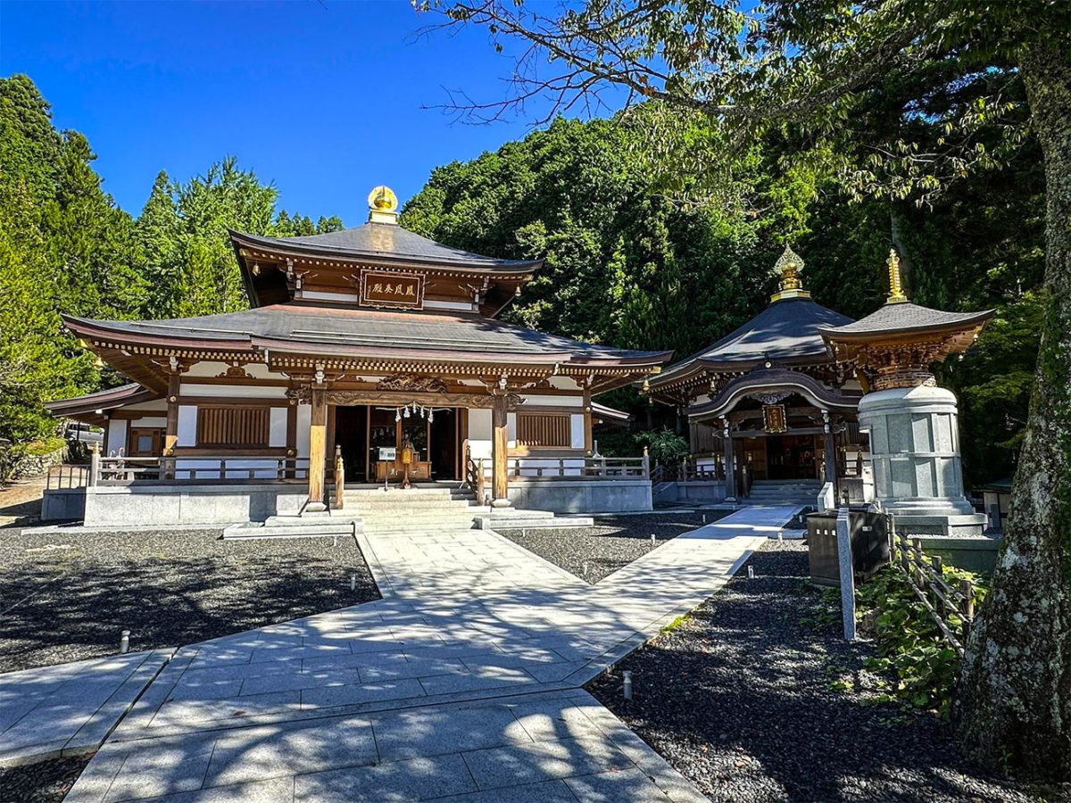
Around Ōtaki, the trail descends steeply towards the Odono-gawa River before climbing again. The pattern provides an early introduction to the Kohechi: elevation that appears to have been gained can disappear surprisingly quickly, only for the next climb to begin from the valley floor.
The route continues across the Mizugamine ridge before eventually descending towards the Kawarabi-gawa River and the tiny settlement of Omata. The official figures give this stage approximately 690 metres of climbing and 840 metres of descent, although the repeated changes in gradient can make it feel more substantial.
Omata is not somewhere to arrive expecting a selection of restaurants, shops and hotels. Accommodation is extremely limited, meals generally need to be arranged in advance and walkers should arrive with everything required for the day. That isolation is part of the attraction, but it also removes much of the flexibility found on more developed long-distance trails.
Day Two: Omata to Miura-guchi via Obako-toge
The second day crosses the Obako-toge area and is widely regarded as the wildest and most challenging stage of the Kohechi. The official route is approximately 14.5 kilometres, variations can arise from accommodation access, diversions and exactly where the day’s recording begins and ends.
The north side begins on generally wider paths with more manageable gradients, but the route becomes progressively more serious as it climbs higher. Much of the day is spent in the mountains, far from shops, villages and convenient escape routes.
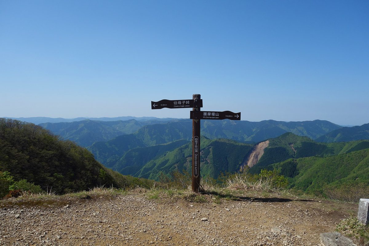
Obako is the highest part of the journey. The GPX reaches approximately 1,244 metres, while the wider Obako peak area rises to 1,344 metres. The distinction is worth keeping clear: walkers cross the high Obako area but should not assume that the supplied route visits the exact mountain summit.
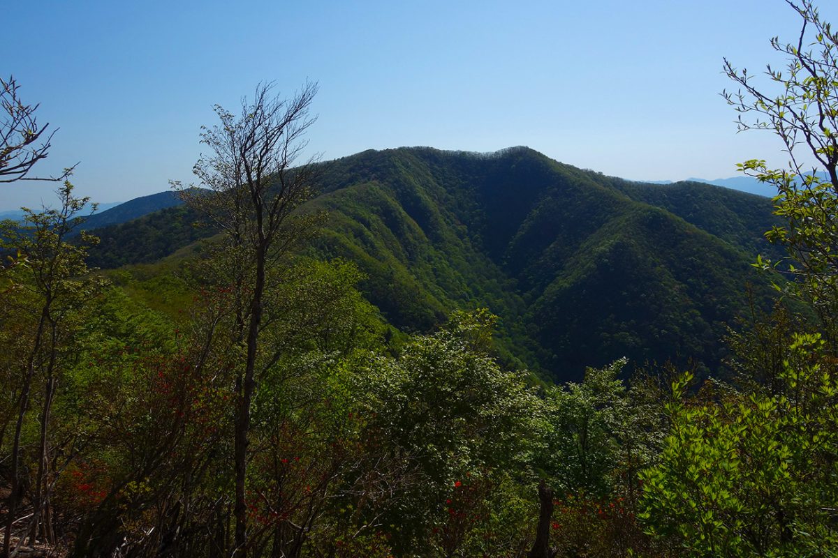
This exposed high ground receives weather arriving from the Pacific side of the peninsula. Conditions in Omata can appear settled while the upper mountain is covered by fog, wind or heavy rain. Washouts and landslides occasionally cause diversions near the pass, so current signs and official route updates must take priority over an older GPX.
The character changes noticeably on the southern side. Paths can become narrower and more rugged, with steep slopes beside the trail and a long descent towards Miura-guchi. This descent accounts for much of the day’s approximately 1,090 metres of height loss and can be exhausting on wet ground.
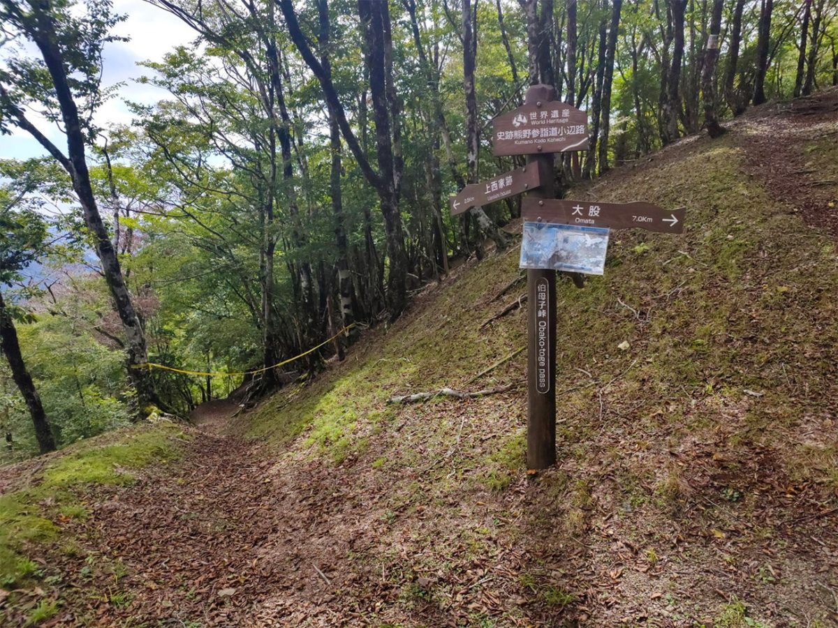
Miura-guchi is one of the most important logistical points on the Kohechi. It is a tiny settlement with only two accommodation providers, and both can fill quickly during spring and autumn. The official advice is to confirm a bed here before arranging the remainder of the pilgrimage. Reaching Miura-guchi without a reservation is not a workable plan.
Day Three: Miura-guchi to Totsukawa Onsen
The third stage begins by passing through the buildings of Miura-guchi and crossing a metal suspension bridge over the river. From there, the trail begins a long and consistent ascent towards Miura-toge.
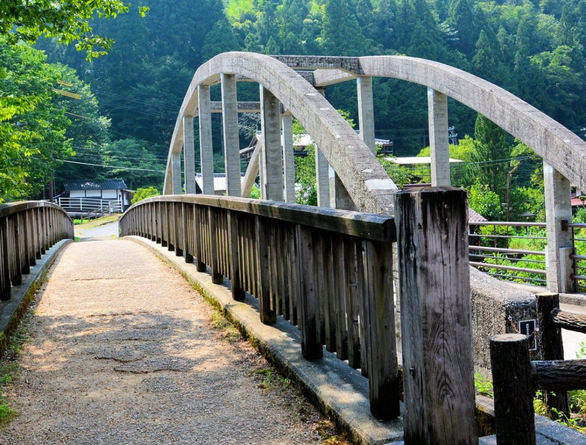
There is little gentle introduction. The first ten kilometres are predominantly mountain trail, gaining approximately 815 metres before crossing the pass. Remains of old houses and teahouses along the route hint at the communities and travellers once supported by this mountain crossing. In places, the forest opens sufficiently to provide views across the surrounding ridges, but much of the day remains enclosed beneath the trees.
After Miura-toge, the trail begins another sustained descent. Historic sites such as the remains of former teahouses and Yagura Kannon-do provide reasons to pause, although the overriding pattern is once again a long climb followed by an even longer loss of height.
The final eight kilometres follow Route 425 beside the Nishi-gawa River. After spending much of the day in the mountains, the harder surface can be tiring on the feet even though the major ascent has finished.
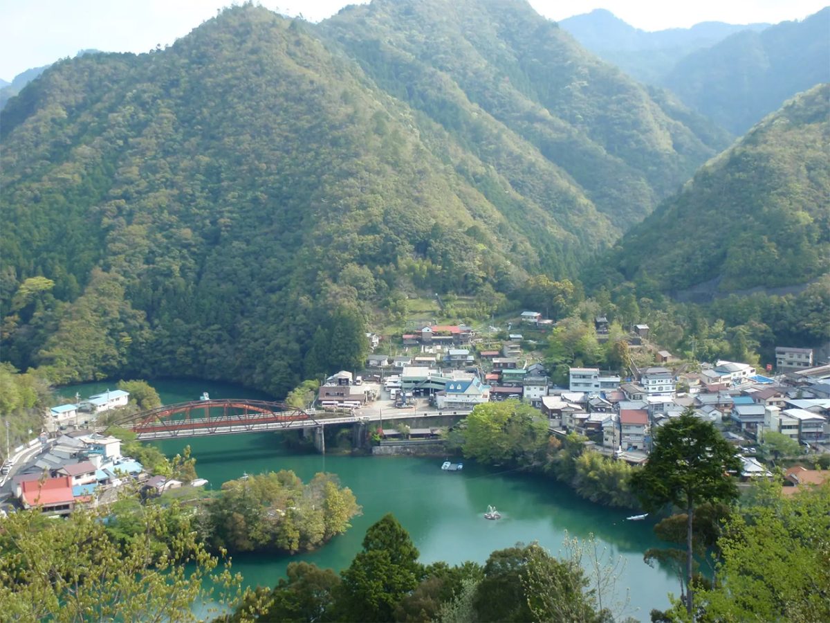
Hotel Subaru sits along the route and has hot-spring baths, while the central Totsukawa Onsen area is approximately another two kilometres away. Totsukawa is the first overnight stop on this itinerary with the atmosphere of a small onsen settlement rather than an isolated hamlet. After three demanding mountain days, soaking in naturally heated water feels exceptionally well timed.
The village spreads along a narrow valley beside a reservoir and is part of one of Japan’s largest municipalities by area, despite its scattered and relatively small population. Accommodation ranges from traditional inns to larger onsen properties, but it should still be reserved before starting the Kohechi.
Day Four: Totsukawa Onsen to Kumano Hongu Taisha
The final stage crosses Hatenashi-toge, but there is no sense of the route easing off simply because Hongu is now within reach. At approximately 15.5 kilometres, this is not the longest day, but it contains the greatest official amount of ascent: approximately 1,075 metres, followed by about 1,170 metres of descent.
From the Hotel Subaru area, the route passes through an old tunnel and crosses a pedestrian suspension bridge before beginning the climb. The path soon reaches Hatenashi, a small ridge-top settlement surrounded by mountains. Its houses, fields and stone walls make it one of the most memorable inhabited places on the Kohechi.
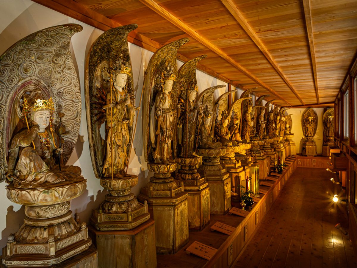
Above the settlement, the climb continues towards Hatenashi-toge. Thirty-three statues of Kannon are positioned along this mountain route, giving the final pass a particularly strong pilgrimage character. The statues provide a connection between the physical effort of the climb and the religious purpose for which generations of travellers crossed these mountains.
Weather at Totsukawa can be very different from conditions at the pass. Carrying sufficient water and appropriate layers remains essential, even on the final day. The Hatenashi section can be walked throughout the year, but open does not necessarily mean free from cold, rain, ice or rapidly changing mountain weather.
After crossing the pass, the trail descends towards Yakio. This is another long descent where tired legs and slippery stones can become a greater challenge than the ascent itself. From Yakio, the route follows Route 168 before joining the Nakahechi at the remains of the Sangen-jaya teahouse.
That junction is a significant moment. Two different pilgrimage routes now share the final approach towards Kumano Hongu Taisha, bringing walkers from very different journeys to the same sacred destination.
The route arrives at Kumano Hongu Taisha, one of the three Grand Shrines of Kumano and the spiritual conclusion of the Kohechi. After four days of high passes, isolated valleys and repeated climbing, reaching the shrine feels very different from arriving by road or bus.
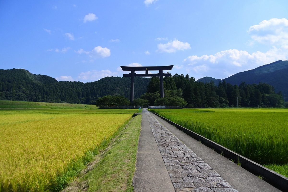
Oyunohara, the original location of Kumano Hongu Taisha, is a short walk away. The shrine buildings were moved following severe flooding in 1889, and the former site is now marked by an enormous torii gate rising above the surrounding fields. It is worth allowing enough time and energy to visit rather than rushing immediately towards onward transport.
Many walkers spend the final night in Hongu, Yunomine Onsen, Kawayu Onsen or Wataze Onsen. Yunomine and Kawayu are not part of the supplied Kohechi GPX, but both can be reached from Hongu using local buses. Finishing with another onsen stay provides a fitting conclusion to four of the most demanding walking days on the Kumano Kodo.
The Kohechi is not simply a longer and tougher alternative to the Nakahechi. It has its own rhythm and character: climb from a river valley, cross a high pass, descend into another tiny settlement and begin again the following morning. Its limited accommodation and transport require commitment, but that is also what protects its sense of solitude. For experienced walkers who plan it properly, it offers one of the deepest journeys through the mountains, religious history and remote communities of the Kii Peninsula.

Walk this route yourself in 3D!
The video is a 3D walkthrough of this route; it’ll give you a great idea of what to expect before you set foot on the mountain.
I’ve created 3D videos of my walks and shared them with the Outdooractive and Welsh Man Walking communities.
Kohechi Route, Kii Mountains from Kōyasan to Hongu – 3D Walkthrough
Places to Stay on the Kohechi (Temple Lodgings, Minshuku & Onsen Ryokan)
Book ahead — Kohechi villages are tiny and beds are limited. Note that Omata and Miura-guchi often require booking via the local reservation service (Kumano Travel). I’ve listed two options per stage where possible.
Stage 0 – Kōyasan (temple town)
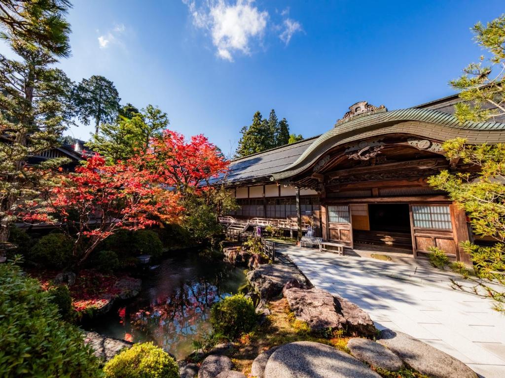
Historic temple stay with morning services and goma fire ritual; serene gardens and tatami rooms.
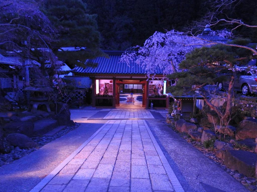
Classic temple lodging near Okunoin; vegetarian shōjin ryōri dinners and quiet rooms.
Stage 1 – Omata area
Note: Lodging here is limited and often booked via Kumano Travel (local reservation system).
Stage 2 – Miura-guchi village
Note: Similar to Omata, small minshuku listed via Kumano Travel.
Stage 3 – Totsukawa Onsen (hot-spring town)
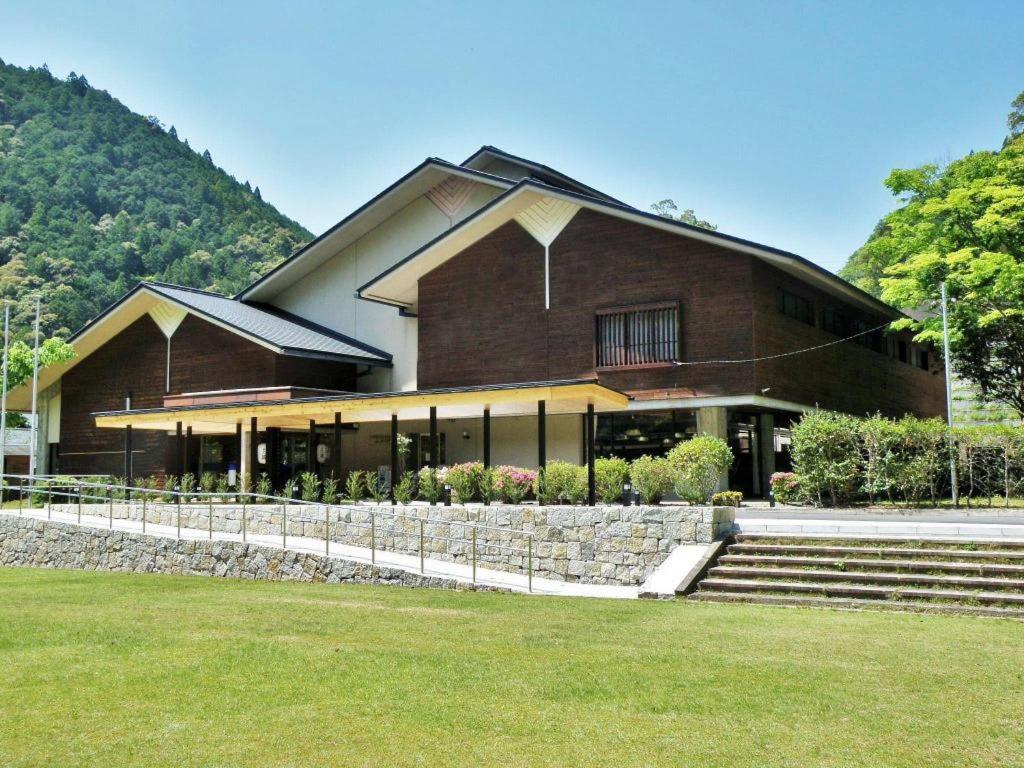
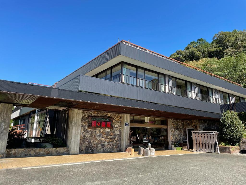
Hotel Subaru (Totsukawa Onsen)
Well-known onsen hotel beside the river; great for a deep soak after big Kohechi climbs.
Finish – Hongu area (Yunomine / Kawayu)
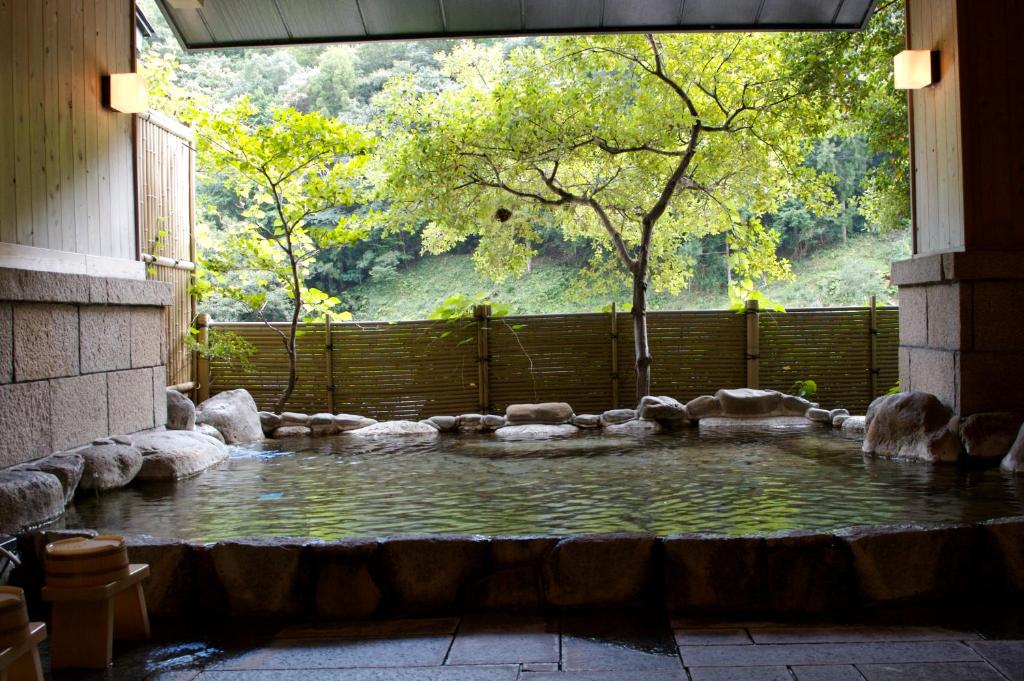
Classic ryokan near historic Tsuboyu bath; kaiseki dinners and valley views.
Stay riverside and (in winter) dig your own hot-spring bath in the riverbed — the classic Kawayu experience.
For a wider choice of accommodation in the Koyasan, Booking.com has a huge variety to browse through.
The Kohechi needs comprehensive attention to planning because accommodation, transport and food cannot be improvised once the walk has begun. The official guidance requires accommodation to be confirmed across the complete itinerary, and Miura-guchi should be secured first because it has only two places to stay.
Practicalities –
Planning the complete itinerary
The Kohechi is normally completed over four walking days, with overnight stays in Kōyasan, Omata, Miura-guchi and Totsukawa Onsen before finishing in the Hongu area. Although approximately 65 kilometres may not sound excessive for a four-day trail, every stage contains a substantial climb and descent. Official stage times range from six to nine hours and do not include meal breaks, shrine visits, photography or delays caused by poor weather.
This is not a route where it is easy to shorten one day and compensate on the next. The settlements are separated by high passes, accommodation is extremely limited and public transport is irregular. Build the journey around confirmed places to stay rather than choosing ideal daily distances and trying to find accommodation afterwards.
Allow at least one night in Kōyasan before beginning the walk. This provides time to visit the temples, collect maps and check the latest trail information while also ensuring you can begin the first stage early. Staying in the Hongu area after finishing removes the pressure of reaching a particular bus following the demanding Hatenashi-toge stage.
Booking accommodation
Every night should be reserved before setting out. If booking through Kumano Travel, the complete itinerary may need to be confirmed before individual Kohechi accommodation requests are accepted. This is a safety measure because walkers cannot rely on finding another room or easily travelling to a different village at the end of the day.
Miura-guchi should be the first place you attempt to reserve. It is a tiny settlement with only two accommodation providers, and these can fill quickly during the spring and autumn seasons. Once Miura-guchi is confirmed, arrange Omata, Totsukawa and Kōyasan around those dates.
Accommodation in Omata and Miura-guchi is generally small and family-run. Expect Japanese-style rooms, futon bedding and shared facilities rather than conventional hotels. Dinner and breakfast are often included, and a packed lunch may be available when requested in advance. These meals are essential because there are few opportunities to buy food during the walking day.
Tell accommodation providers about allergies and dietary requirements when booking. Rural kitchens purchase and prepare ingredients for a small number of guests and may be unable to make substantial changes without notice.
Reaching Kōyasan
Most international visitors approach Kōyasan from Osaka. The usual rail journey uses the Nankai Koya Line from Namba towards Gokurakubashi, followed by the cable car to Kōyasan Station and a local bus into the temple settlement. The final transport arrangements can change, so check the current Nankai timetable before travelling.
Arriving the day before the walk gives you time to find the trailhead and adjust to the altitude. Kōyasan sits at approximately 800 metres, so conditions can be noticeably cooler than Osaka, even before the Kohechi climbs onto its higher ridges.
If staying in a temple lodging, check the required arrival time. Dinner is often served early, and guests arriving late may miss both their meal and the opportunity to attend evening or morning activities.
Leaving Kumano Hongu Taisha
The route finishes at Kumano Hongu Taisha, close to the Hongu Taisha-mae bus stop. From here, buses connect with Shingu, Kii-Tanabe and the nearby onsen settlements of Yunomine, Kawayu and Wataze. Services are limited compared with city transport, so check the timetable before beginning the final day.
Staying locally is preferable to planning a long onward journey immediately after finishing. It creates time to visit Kumano Hongu Taisha properly, collect the final pilgrimage stamp and walk to Oyunohara without watching the clock.
Kii-Tanabe provides connections back towards Osaka, while Shingu offers rail connections around the eastern side of the Kii Peninsula. Travellers continuing to Kumano Nachi Taisha normally need to travel through Shingu or Kii-Katsuura; there is no simple direct bus from Hongu to Nachisan.
Luggage transfer
A dedicated Kohechi luggage shuttle operates between participating accommodation. Using it is particularly valuable on this route because carrying a heavy multi-day pack makes the repeated climbs and long descents considerably harder.
The service must be booked in advance. Online luggage transfers arranged through Kumano Travel currently require the participating accommodation to have been booked through its system and generally need at least 20 days’ notice. It is not something that can normally be arranged after arriving in Kōyasan.
Pack everything securely inside the transferred bag without loose shoes, umbrellas or carrier bags attached to the outside. Keep your passport, medication, money, waterproof clothing, food, water, navigation and other daily essentials in your walking pack.
Some transfer options move luggage directly between individual overnight stops, while others can send a bag farther ahead. Check exactly where and when each bag will be collected and delivered rather than assuming every property follows the same arrangement.
Food and water
Carry lunch, snacks and sufficient water every day. There are no dependable cafés or convenience stores between the principal overnight settlements, and much of the route crosses high forested ground where nothing can be purchased.
Accommodation providers can often prepare a bento or packed lunch, but it must normally be ordered in advance. Confirm this for every walking day when arranging the rooms. Take additional high-energy food in case a stage lasts longer than expected or weather slows progress.
Tap water at Japanese accommodation is generally safe to drink, making it possible to refill bottles each morning. However, springs shown on maps can run low, become unsuitable following bad weather or be difficult to identify. Do not begin a stage expecting a particular mountain water source to solve an inadequate supply.
The official packing guidance suggests up to two litres or more for long walks. On the Kohechi, the appropriate amount depends on temperature, humidity and personal needs, but carrying too little water on the Obako or Hatenashi stages would be a serious mistake.
Maps and navigation
The Kohechi is waymarked, but the isolation and consequences of taking a wrong turn make independent navigation essential. Download the GPX and offline mapping before reaching Kōyasan, and carry the complete official Kohechi map booklet as a backup.
Numbered trail markers appear along the route and can help identify your approximate location in an emergency. Photograph or record the relevant numbers as you pass them if conditions are deteriorating.
Mobile reception is unreliable in the mountains and valleys, so an online map should not be your only navigation method. Carry a power bank and conserve battery rather than recording video continuously if the phone is also your emergency communication and navigation device.
Current diversions must take priority over the GPX. The Obako area has experienced washouts and landslides, and an official detour has been used on its northern side. Check notices in Kōyasan, ask each accommodation about the following day and follow temporary signs even when they differ from the downloaded route.
Weather and walking season
The recommended seasons are generally spring and autumn, when temperatures are more suitable for sustained mountain walking. These are also the busiest periods for the route’s very limited accommodation, making early reservations essential.
The northern Kohechi is officially regarded as closed from mid-December until mid-March because snow can make the higher passes inaccessible. The southern Hatenashi-toge stage remains open throughout the year, but it can still experience cold, rain or ice. Open does not automatically mean safe in every set of conditions.
Summer can be extremely hot and humid. Dense forest provides shade, but it can also restrict airflow, making the steep climbs exhausting. Heavy seasonal rain, typhoons, insects and heat exhaustion are additional concerns.
Conditions in the valley do not reliably indicate what is happening on the passes. Obako can experience strong wind, heavy rain and fog while Omata or Miura-guchi remains comparatively calm. Check the forecast for the mountain area rather than relying upon the nearest town.
Clothing and equipment
Wear broken-in walking boots or supportive trail shoes with dependable wet-weather grip. The route includes roots, mud, loose ground, stone surfaces, narrow paths and long descents. Walking poles are extremely useful, but practise with them before the trip rather than learning on the steep descent from Obako.
Carry full waterproofs, an insulating layer, spare socks, a headtorch, first-aid supplies, blister treatment, emergency food and a charged power bank. A basic emergency shelter is sensible given the isolation and possibility of being delayed above the valleys.
Even when using luggage transfer, your daypack must contain enough equipment to remain safe if you cannot reach the next accommodation at the expected time. Do not transfer medication, travel documents or clothing needed during the day.
The official stage times assume a fit walker with a light pack in good conditions and exclude breaks. Build additional time into each day and begin early enough to retain daylight if progress is slower than expected.
Walking alone
Experienced hikers do walk the Kohechi alone, but it demands more self-reliance than the Nakahechi. Some sections may remain quiet for hours, and assistance cannot be assumed to be close by.
Give each accommodation an expected arrival time and tell the hosts which route you are following. Keep somebody outside the trip informed of the complete itinerary and arrange a clear check-in system. If you fail to arrive, people should know where you started, where you were heading and what action to take.
A satellite communicator or personal locator beacon is worth considering, particularly for a solo journey. It does not replace maps, experience or sensible decisions, but it provides another means of requesting help where mobile coverage is absent.
The Kohechi is not the appropriate place to test whether you enjoy solo mountain walking. Anyone unsure of their navigation, fitness or confidence in poor weather should walk with an experienced companion or employ a local guide.
Transport and escape options
Transport between the Kohechi settlements is extremely limited. Do not assume every road crossing has a useful bus or that services operate at convenient walking times. Missing accommodation because of a delayed start can become a significant logistical and safety problem.
A seasonal reservation-only Kohechi bus currently provides an alternative involving Miura-guchi and Totsukawa, but its principal arrangement is designed for people walking north from Hongu towards Kōyasan. It should not be treated as a guaranteed rescue or accommodation solution for the usual southbound itinerary. Check the latest operating direction, dates and reservation requirements directly before relying on it.
If weather is poor enough to make a high pass unsafe, speak to the accommodation provider before leaving. A taxi or private transfer may be expensive, but it is preferable to committing to an exposed stage simply because the next room has already been paid for.
Pilgrimage credential and stamps
The Kohechi contains stamp boxes at significant sites along the route. Carrying a Kumano Kodo pilgrimage credential creates a record of the journey and encourages walkers to pause at places that might otherwise be passed without understanding their importance.
Obtain the credential before beginning and keep it inside a waterproof bag. Some stamp boxes are exposed to mountain weather, and wet paper can become difficult to use.
Completing the Kohechi from Kōyasan to Kumano Hongu Taisha is one of the recognised Kumano Kodo achievements within the Dual Pilgrim programme. The Dual Pilgrim title additionally requires completion of a qualifying route on the Camino de Santiago.
Respecting the route and communities
The Kohechi is both a mountain trail and a historic pilgrimage route. Treat statues, shrines, stone markers and former religious sites respectfully. Do not remove objects, leave offerings that create litter or enter structures that appear closed.
Omata and Miura-guchi are tiny residential communities rather than tourist resorts. Remain on public paths, keep noise low and ask before photographing people or private homes. The continued cooperation of these communities is vital to keeping the pilgrimage route accessible.
Carry all rubbish with you. Bins are uncommon, and accommodation providers should not be expected to dispose of large quantities of packaging brought from elsewhere.
Wild camping should not be used as a substitute for unavailable accommodation. Camping on the trail, within settlements, beside roads or on private property is not permitted. The established four-day itinerary depends upon confirmed recognised accommodation.
Kohechi Route FAQs
How long does it take to walk the Kohechi?
How difficult is the Kohechi?
Is the Kohechi harder than the Nakahechi?
Do I need to book all my accommodation in advance?
What is the best time of year to walk the Kohechi?
Can I walk the Kohechi alone?
Is luggage transfer available on the Kohechi?
Are food and water available along the trail?
Can I use buses to miss or shorten a stage?
Do I need a guide for the Kohechi?

Water-to-Go Named Best Water Bottle for Travel. Click www.watertogo.eu + 20% Discount Using – ‘WMW20’

AllTrails: Trail Guides & Maps for Hiking, Camping, and Running | AllTrails ‘Plus’ 30% OFF – Read my ‘Full Review‘ for more details.