


Region: Hadrians Wall, Steel Rigg, Northumberland, England
Places To Stay: The villages of Once Brewed and Haltwhistle are nearby, with welcoming B&Bs and pubs. Try: Stay near Hadrian’s Wall or browse more Northumberland Accommodation.
The Hadrian’s Wall Circular Walk from Steel Rigg is a rewarding journey through one of the most dramatic and historically important landscapes in Britain, combining the exposed ridges of the Whin Sill escarpment with Sycamore Gap, Housesteads Roman Fort and the remarkable archaeological site at Vindolanda.
Beginning at Steel Rigg, the route quickly climbs onto the line of Hadrian’s Wall, where the remains of the Roman frontier rise and fall across a sequence of steep grassy ridges. This central section is one of the most recognisable parts of the entire 84-mile Hadrian’s Wall Path, with the Wall following the natural defensive barrier created by the hard volcanic rock of the Whin Sill.
The first part of the walk passes Crag Lough and reaches Sycamore Gap, the deep hollow made famous by the lone tree that appeared in Robin Hood: Prince of Thieves. The tree was illegally felled in September 2023, but the location remains one of the defining views along Hadrian’s Wall. The stump has since produced new shoots, offering some hope that it may continue to grow.
Continuing east, the path follows the Wall over a series of short but often steep climbs towards Housesteads Roman Fort. Built shortly after work began on Hadrian’s Wall in AD 122, Housesteads became home to an infantry garrison of around 800 soldiers and is now regarded as the most complete surviving Roman fort in Britain.
From Housesteads, the route leaves the exposed ridge and heads south through quieter farmland towards Vindolanda. This important Roman settlement predates Hadrian’s Wall and was rebuilt several times during its long history. Its museum contains an extraordinary collection of discoveries, including the Vindolanda Writing Tablets, the oldest surviving handwritten documents found in Britain.
The return journey crosses open countryside and follows rural paths back towards Steel Rigg, completing a walk that feels very different in its second half. The dramatic Wall and high ridges gradually give way to fields, lanes and the broader landscape that supported the Roman military frontier.
Allow around four to five hours for the walking, depending on conditions and how often you stop. Entering either Housesteads or Vindolanda will add significant time, while properly exploring both makes this a full-day outing rather than a simple half-day walk.
This route is ideal for anyone who enjoys combining landscape and history. Readers interested in more historic walks could continue with the York Minster Circular Walk, Bath City Centre Circular Walk or Dunstanburgh Castle Coastal Walk, while the Whitby to Robin Hood’s Bay Coastal Walk offers another memorable journey through the landscapes of northern England.
Below are a 3 ideas for trips and tours available in Northumberland, GetYourGuide offer great discounts and availability + Many more!
Looking for Cheap Flights? Try the Skyscanner Flight Checker Below.
This is how I find cheap ‘Flight Tickets‘ or travel deals. Fly into Newcastle or Carlisle and head west by car or public transport toward Once Brewed or Haltwhistle for the best access to this part of Hadrian’s Wall.
Getting There: Directions, GPX and App Link
- Start point: Steel Rigg Car Park (postcode: NE47 7AN)
- Google Maps: Steel Rigg Parking
- Bus link: AD122 Hadrian’s Wall Bus from Hexham or Haltwhistl
- GPX: Download the GPX file here for use on your GPS device or watch
- You can also follow this route on my Outdooractive and Komoot profiles
- Avoid the early start – find accommodation near Hadrian’s Wall
Hike Profile
- Distance: approx 11 km / 7 miles (loop)
- Duration: 3–4 hours
- Elevation: Undulating, with repeated steep climbs and descents along the Whin Sill escarpment.
- Difficulty: Moderate – some short climbs, exposed ridges, and additional distance
- Route conditions: mixture of rocky paths, grassy slopes and historical ruins — walking boots recommended

Sim Local can reduce or even eliminate your roaming fees. Click www.simlocal.com/ + 10% Discount Using – ‘WELSHMAN’
Hike Description
Begin the Hadrian’s Wall Circular Walk at Steel Rigg car park and follow the well-signposted path east, climbing gently toward the exposed ridgeline. Within minutes, you’ll be rewarded with panoramic views of Hadrian’s Wall threading through the rugged landscape, an awe-inspiring start..
Steel Rigg is one of the most popular access points for the central section of Hadrian’s Wall, so the car park can become busy during weekends, school holidays and the summer. Arriving earlier gives you a better chance of finding a space and also leaves more time for visiting the Roman sites later in the day.
Parking arrangements and charges can change, so check the information displayed when you arrive. The AD122 Hadrian’s Wall bus also serves Steel Rigg during its operating season, providing an alternative to driving.
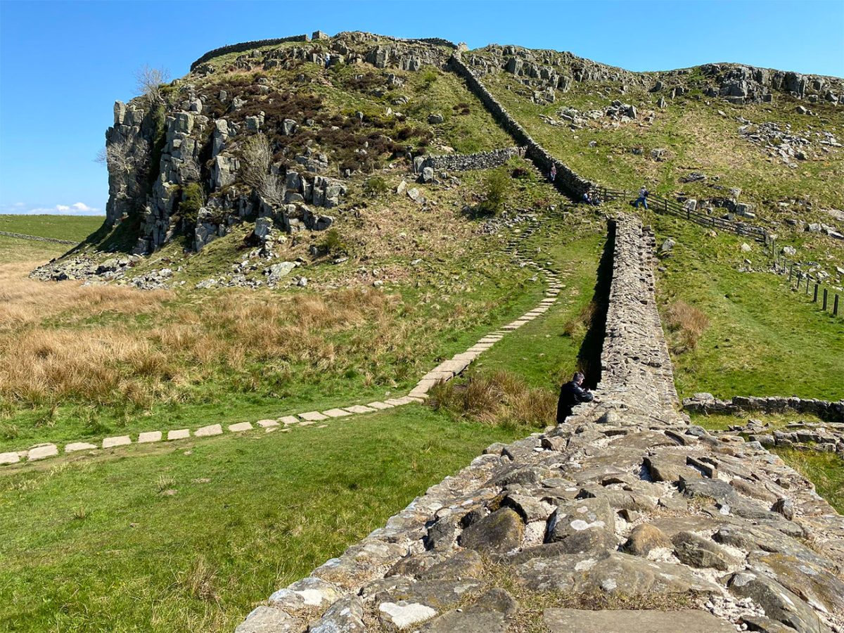
From the car park, follow the signed path towards Hadrian’s Wall.
The route begins across open grassland, with the high ridges of the Whin Sill rising ahead. Within a few minutes, the remains of the Wall come into view, threading its way across the landscape in a way that immediately explains why this section has become so well known.
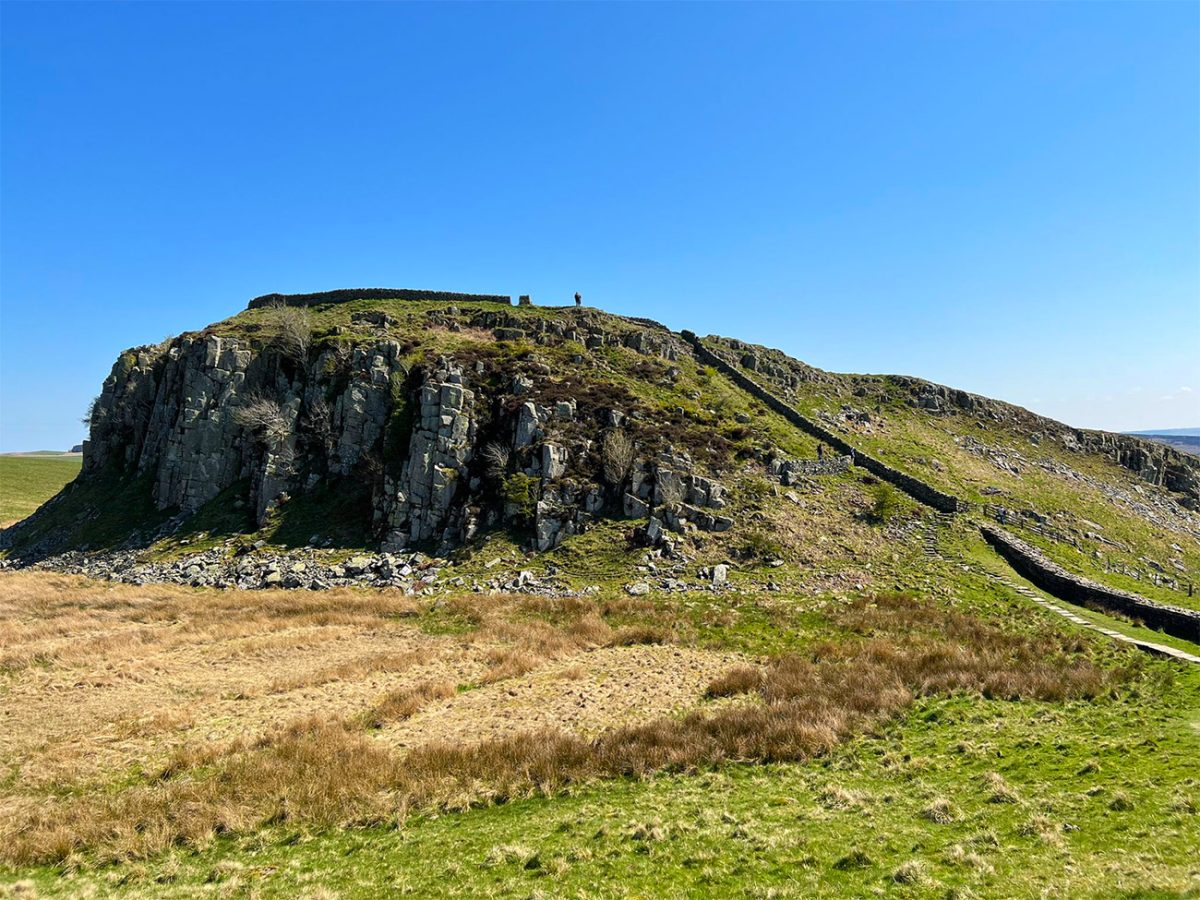
The Wall was ordered by the Roman emperor Hadrian after his visit to Britain in AD 122. It stretched across northern England from the River Tyne to the Solway Firth, and it’s described that he created it to have a controlled frontier rather than a impenetrable defensive barrier.
Soldiers stationed along it monitored movement, guarded gateways, collected information and supported the network of forts, milecastles, roads and settlements that developed around the frontier.
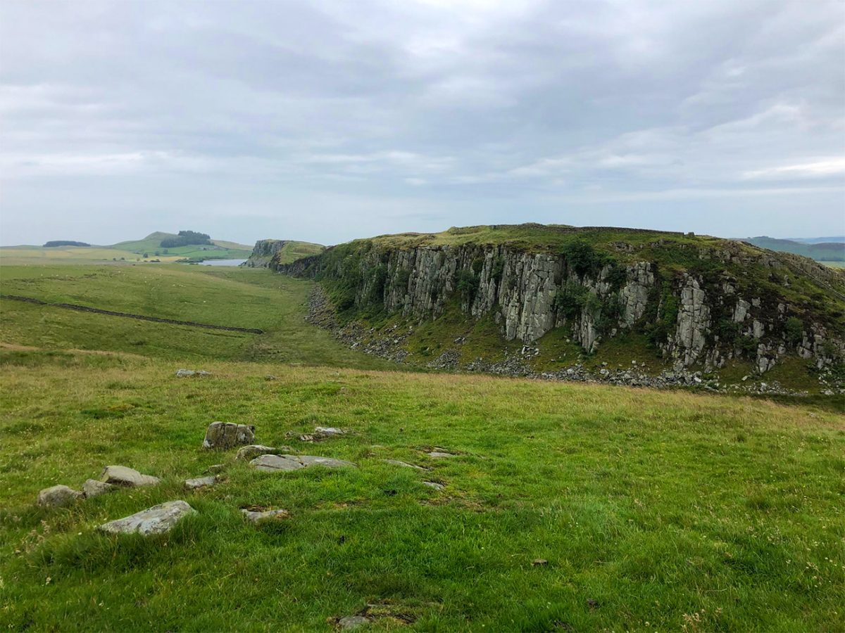
The first section from Steel Rigg is very dramatic. The path rises and falls over steep grassy slopes while the surviving stone Wall follows the edge of the escarpment. Crag Lough lies below the northern side of the ridge, creating one of the classic views of Hadrian’s Wall Country.
Although the overall distance is manageable, the terrain should not be underestimated. The route repeatedly loses and regains height, and several sections contain stone steps, worn rock and steep grassy slopes.
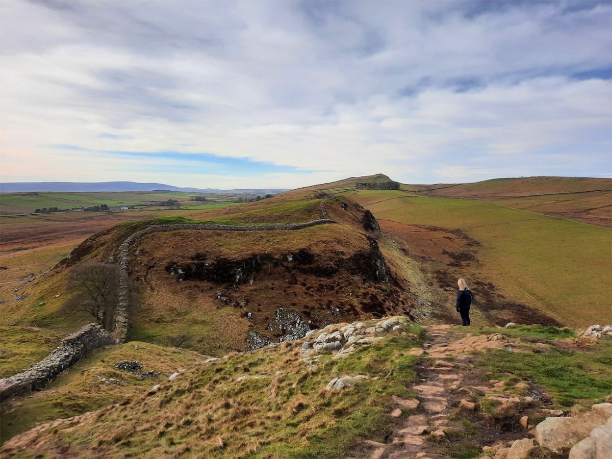
In wet weather, the stone can become slippery and the ground between the ridges may become muddy. Walking boots or trail shoes with good grip are strongly recommended.
Continue east towards Sycamore Gap.
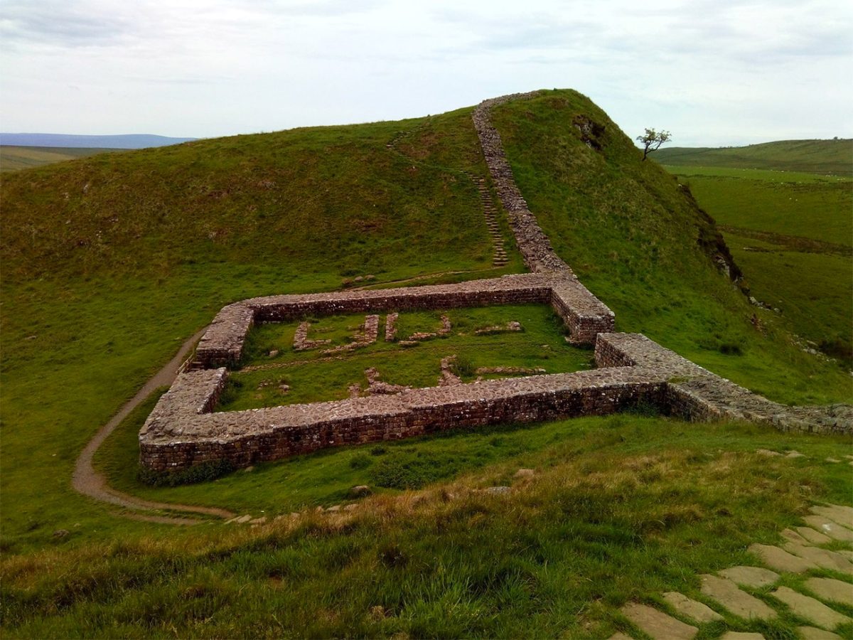
The path descends into a deep natural hollow between the ridges, with Milecastle 39 lying nearby. This small Roman fortification is also known as Castle Nick because of its position within the gap in the hills. Archaeological evidence says it remained in use into the late fourth century.
Sycamore Gap was once marked by a tree that had stood within the hollow for generations. Its position beside the Wall made it one of the most photographed trees in Britain, while its appearance in the 1991 film Robin Hood: Prince of Thieves introduced the location to a much wider audience.
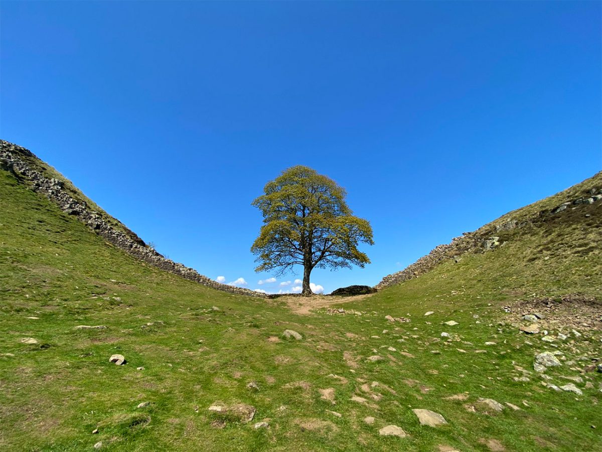
I’ve seen the Netflix documentary where the tree was deliberately cut down in 2023, a crazy, really disappointing thing to have been done. The site does still remain open, but it is important to treat the surviving stump with care and avoid climbing on or damaging it.
New shoots have emerged from the trunk, and both the National Trust and Northumberland National Park remain hopeful that some form of regrowth may carry on. The largest surviving section of the original trunk is now displayed at The Sill National Landscape Discovery Centre near Once Brewed.
Climb out of Sycamore Gap and continue east along the Wall.
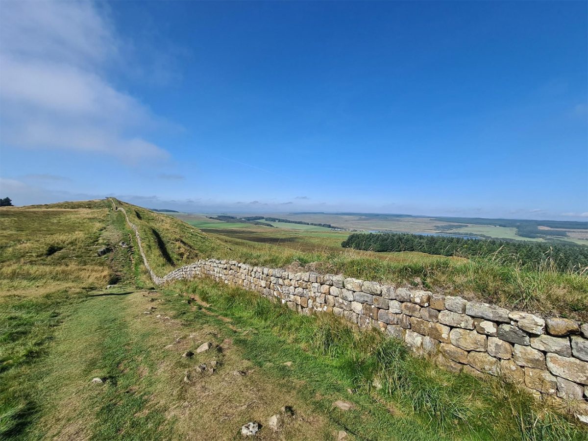
This is where the undulating nature of the route becomes especially clear. The path follows the contours of the Whin Sill through a succession of steep dips and short climbs, with wide views opening across the surrounding farms and moorland.
The Whin Sill is a band of hard igneous rock that runs across northern England. The Romans used its naturally defensive northern edge when choosing the course of the Wall through this central section.
The path occasionally runs directly beside the surviving stonework and at other times moves slightly away to protect the archaeology. Do not walk on top of Hadrian’s Wall. The structure has survived for nearly 2,000 years, but repeated footfall causes erosion and loosens the stonework.
Continue past further stretches of Wall, milecastle remains and open grassland.
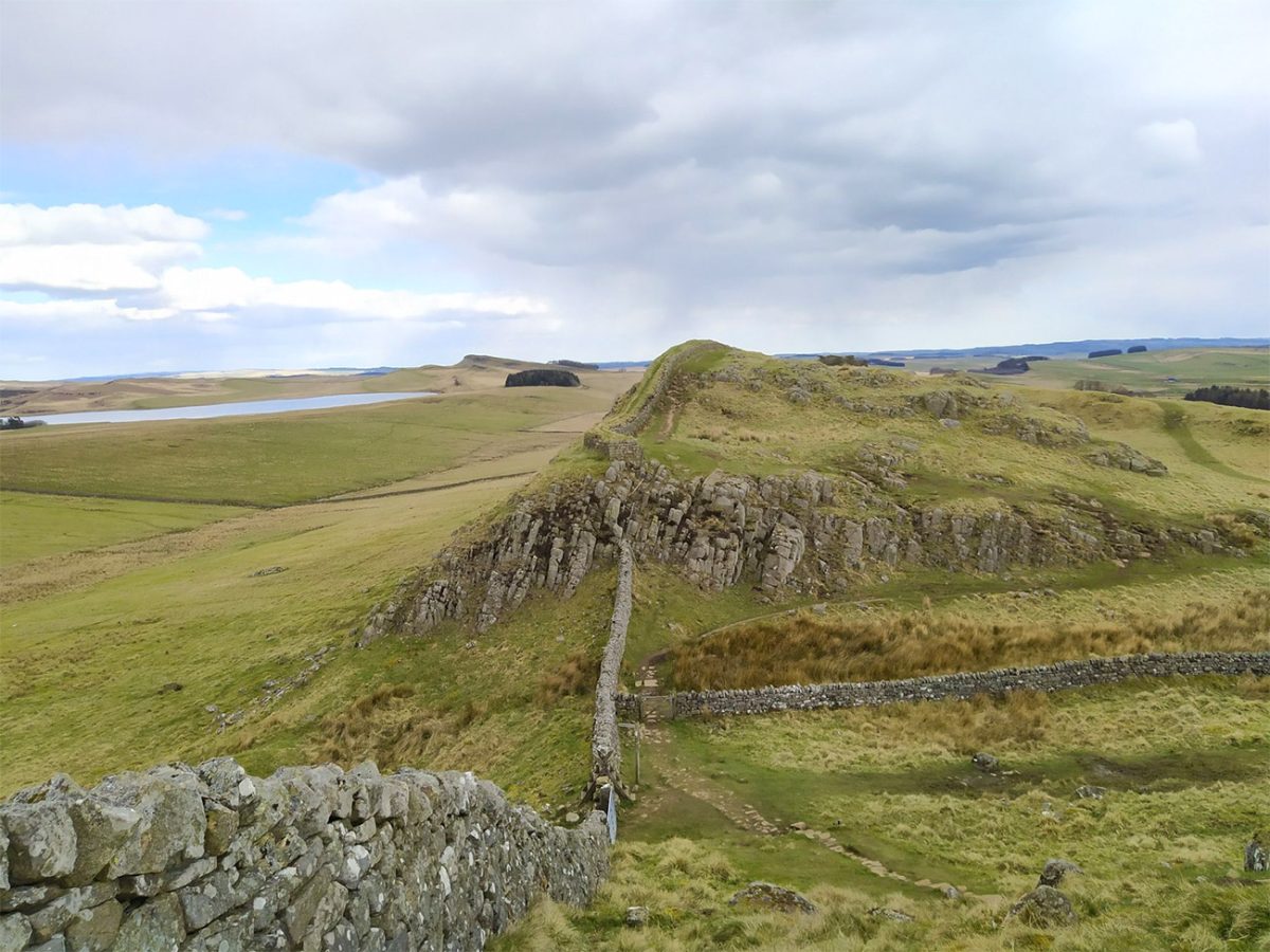
The terrain can feel exposed even when conditions are relatively calm at the car park. There is very little shelter from strong wind, rain or direct sunlight, so carry suitable clothing regardless of the forecast. Livestock may be present in the surrounding fields. Dogs should be kept under close control and placed on a lead around sheep, cattle and steep drops.
As you approach Housesteads, the ridge begins to reveal a broader view towards the east. The path reaches the remains of Housesteads Roman Fort, standing high on the escarpment above the Northumberland countryside.
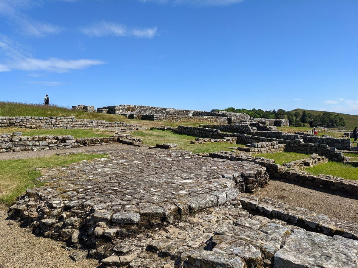
Housesteads was constructed within a decade of work beginning on Hadrian’s Wall and became one of the principal military bases along the frontier. The fort covered approximately 2.2 hectares and was intended for an infantry unit of around 800 men.
The surviving remains are among the most extensive at any Roman fort in Britain.
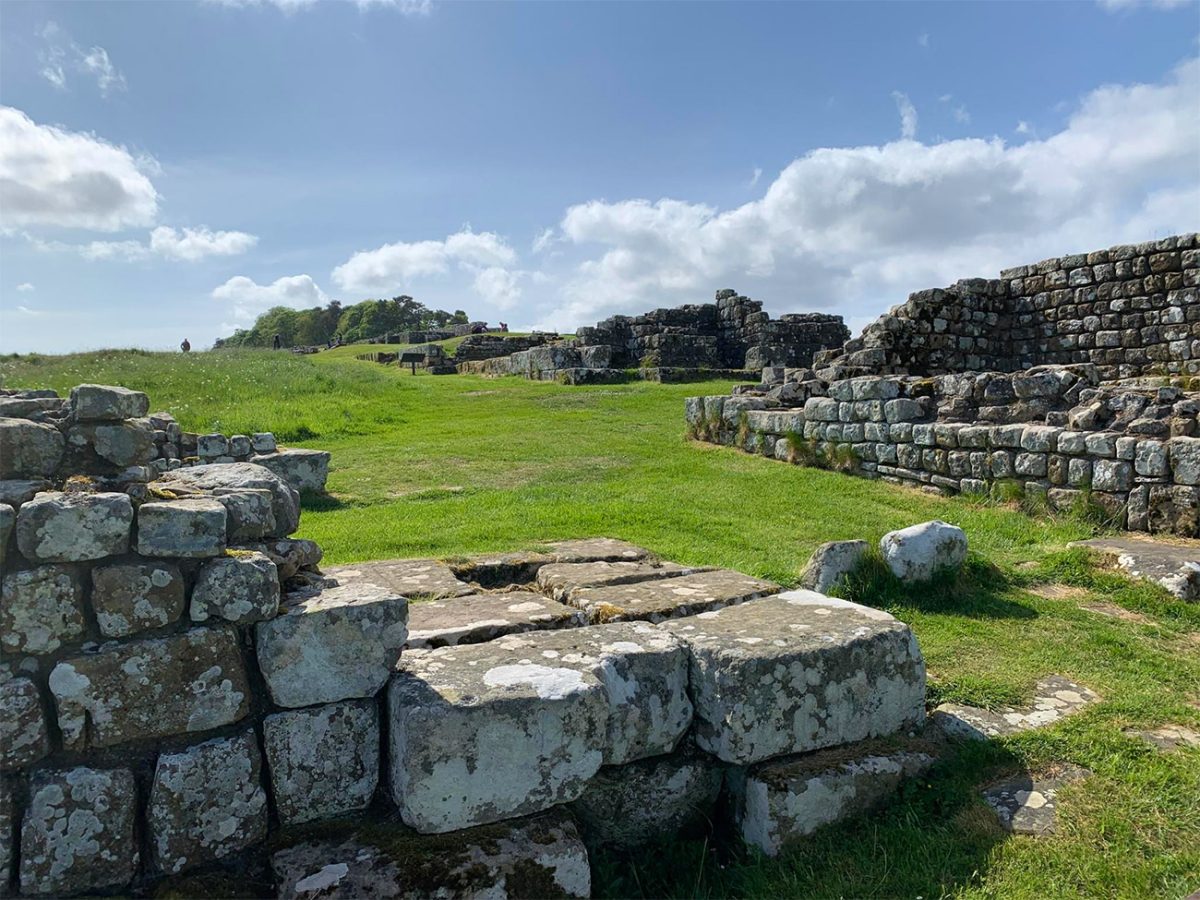
From the public paths, you can see the overall outline of the site, but entry to the fort and museum requires an admission ticket. English Heritage members receive free entry, while National Trust arrangements should be checked before travelling because access terms can change.
Inside the fort, you can explore the remains of barrack blocks, granaries, the headquarters building, the commanding officer’s residence, the hospital and the remarkably well-preserved communal latrines.
The position of the fort is almost as impressive as its archaeology. Looking north from the defensive wall gives a sense of the open land that Roman soldiers would have watched from the frontier.
The museum displays objects discovered through excavations, helping to connect the stone foundations with the people who lived and worked here. A proper visit to Housesteads can easily take an hour or more. Anyone planning to enter both Housesteads and Vindolanda should start early and check the closing times of both attractions.
After visiting or passing Housesteads, leave the line of Hadrian’s Wall and follow the route south. Pass through gates and across working fields, closing everything securely behind you.
The ground may be muddy around gateways, streams and low-lying sections. After prolonged rain, this part of the route can be slower than expected. The line of Hadrian’s Wall gradually disappears behind the higher ground, but the scale of the surrounding landscape remains impressive.
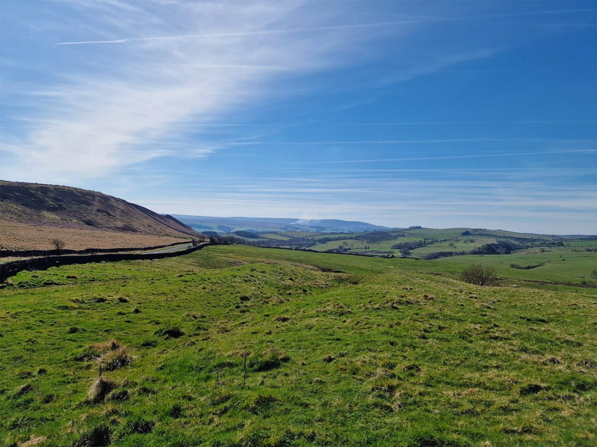
This countryside was an important part of the Roman frontier system. The Wall did not exist in isolation; forts, roads, settlements, farms and supply routes stretched across the region, and then the route eventually reaches the area around Vindolanda.
Vindolanda lies south of Hadrian’s Wall beside the route of the Stanegate, an earlier Roman road connecting military sites across northern Britain. The earliest forts at Vindolanda predated Hadrian’s Wall. Over time, the site was repeatedly demolished and rebuilt, with at least nine major phases leaving layers of archaeology preserved beneath the later stone fort.
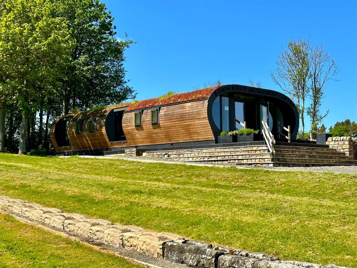
Vindolanda is an archaeological site that includes the remains of forts, barracks, houses, workshops, bath buildings, temples and the civilian settlement that developed outside the military defences. Some structures have been reconstructed to help visitors understand the height and scale of Roman buildings and frontier defences.
Excavations continue during parts of the year, meaning that the story of Vindolanda is still developing. Newly discovered objects regularly enter conservation and may later be added to the museum displays. The museum is one of the real highlights of the route.
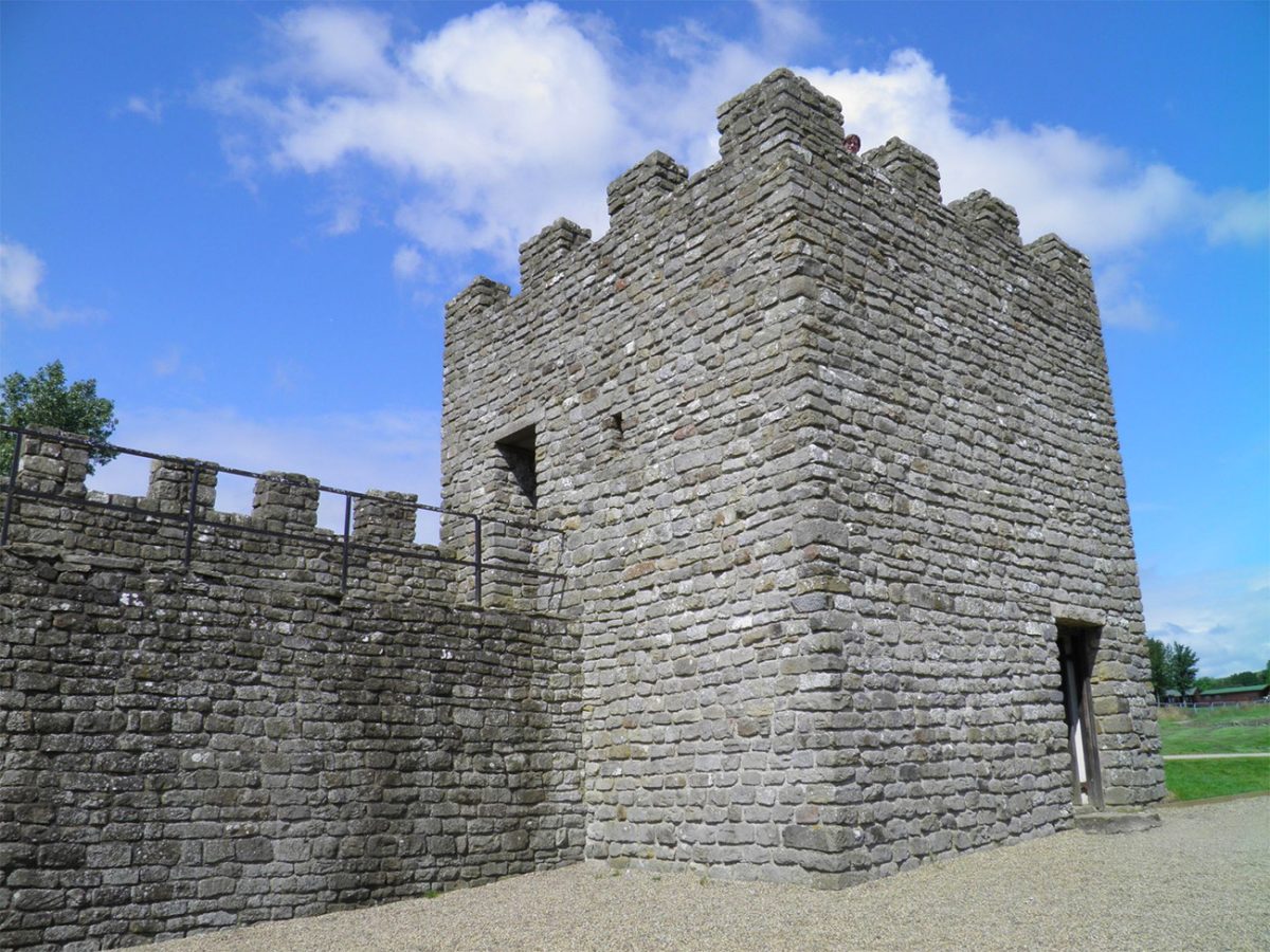
Its most famous collection is the Vindolanda Writing Tablets. These thin pieces of wood contain ink writing from nearly 2,000 years ago and include letters, military reports, lists, requests and personal messages.
Rather than recording only emperors and battles, the tablets reveal ordinary concerns: food supplies, clothing, invitations, health and relationships between people stationed at the edge of the Roman Empire.
One of the best-known examples is a birthday invitation sent by Claudia Severa to Sulpicia Lepidina. The tablets offer an unusually direct connection with individual people who lived in Roman Britain. The museum also contains leather shoes, wooden objects, jewellery, tools, military equipment and everyday possessions preserved by the oxygen-free ground conditions.
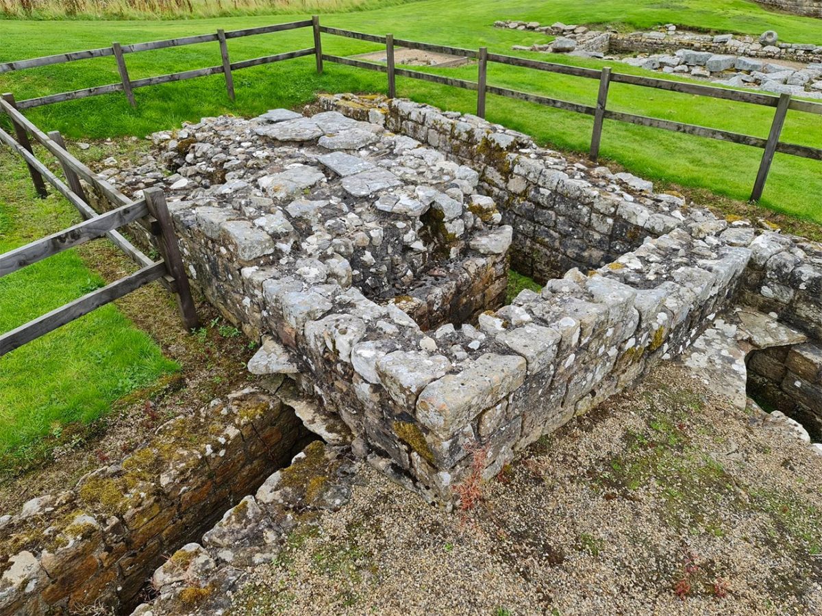
Allow at least two hours for a worthwhile visit to the archaeological site and museum. Anyone attempting a detailed visit to both Vindolanda and Housesteads should expect the overall day to extend well beyond the walking time.
After leaving Vindolanda, follow the route west and north-west through open countryside. Follow public-right-of-way signs as the route passes through a mixture of grassland, farm tracks and rural lanes. Looking north, the high ground around Steel Rigg starts to reappear.
The final part of the route climbs back towards the Whin Sill and the Military Road. Although the gradient is not as steep as some of the earlier ridges, it can feel tiring towards the end of the day. Follow the final paths towards Steel Rigg car park.
Allow around four to five hours for the walking, particularly if conditions are muddy or windy. Adding a brief visit to one Roman site could extend the day to five or six hours. Visiting both Housesteads and Vindolanda properly is best treated as a complete day, potentially lasting seven hours or more.
Below are a 3 ideas for trips and tours available in Northumberland, GetYourGuide offer great discounts and availability + Many more!

Walk this route yourself in 3D!
The video is a 3D walkthrough of this route; it’ll give you a great idea of what to expect before you set foot on the mountain.
I’ve created 3D videos of my walks and shared them with the Outdooractive and Welsh Man Walking communities.
Hadrian’s Wall Circular Walk FAQs
Is this Hadrian’s Wall walk circular?
How difficult is the walk?
How long does the walk take?
Is the Sycamore Gap site still accessible?
Do I need to pay to visit Housesteads Roman Fort?
Do I need a separate ticket for Vindolanda?
Can I visit Housesteads and Vindolanda during the same walk?
Can I bring my dog?
Are there toilets and cafés?
What should I bring?

Water-to-Go Named Best Watter Bottle for Travel. Click www.watertogo.eu + 20% Discount Using – ‘WMW20’

AllTrails: Trail Guides & Maps for Hiking, Camping, and Running | AllTrails ‘Plus’ 30% OFF – Read my ‘Full Review‘ for more details.