


Region: Region: Whitby, Yorkshire, England
Places To Stay: Whitby and Robin Hood’s Bay both offer a range of cosy coastal accommodation, from traditional pubs with rooms to quirky cottages. Try: Stay in Whitby or Robin Hood’s Bay or browse more North Yorkshire Breaks.
The Whitby to Robin Hood’s Bay Coastal Walk is an outstanding 11-kilometre journey along one of the most dramatic sections of the Yorkshire coast, linking Whitby’s historic harbour and abbey with the steep lanes and red-roofed cottages of Robin Hood’s Bay.
Beginning on Church Street beside Whitby’s Swing Bridge, the route climbs the famous 199 Steps to St Mary’s Church and the ruins of Whitby Abbey. From this elevated headland, the Cleveland Way heads south along open clifftops with extensive views across the North Sea and back towards Whitby’s harbour.
The route forms part of the 109-mile Cleveland Way National Trail, which begins at Helmsley, crosses the North York Moors and follows the coast through places including Saltburn, Staithes, Whitby, Robin Hood’s Bay and Scarborough before finishing at Filey Brigg.
Beyond Whitby Abbey, the town quickly falls behind and the landscape opens into a succession of coastal fields, exposed headlands and deeply cut valleys. The walking is never technically difficult in normal conditions, but the accumulated climbs, uneven ground, mud and exposure to strong coastal winds make this a proper hike rather than a level seaside stroll.
The cliffs are part of an active and changing coastline. Erosion can affect both the cliff edge and the line of the National Trail, so walkers should follow the current signs, obey diversions and remain well back from unsupported edges. Wet grass, mud and strong crosswinds can significantly increase the difficulty.
As Robin Hood’s Bay draws closer, the view begins to open across the broad curve of the bay towards Ravenscar. The trail eventually reaches the upper village before descending through a maze of narrow lanes, old fishermen’s cottages and steep passageways towards the beach.
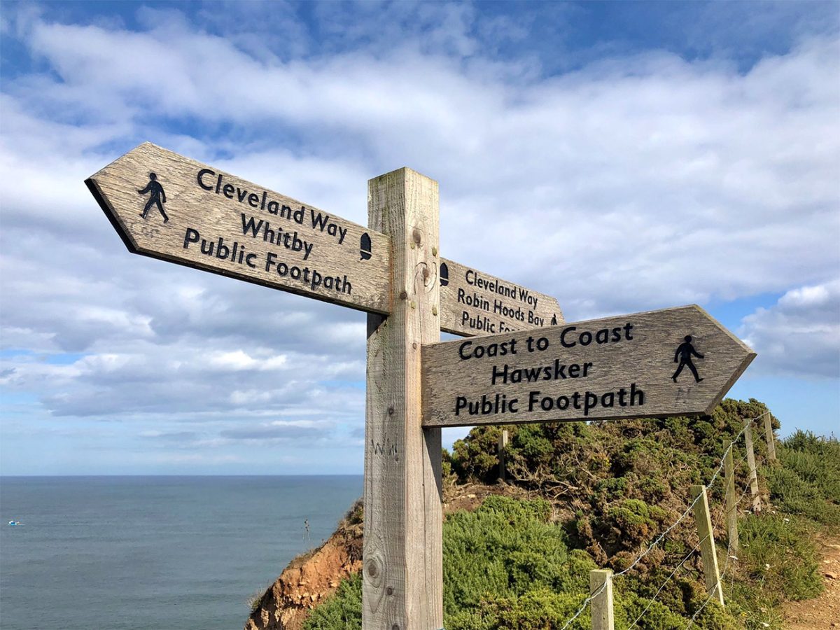
Robin Hood’s Bay is also the traditional eastern finish of Alfred Wainwright’s Coast to Coast Walk, with a plaque near the top of the slipway marking the end of the long journey from St Bees.
Allow around 3.5 to 4.5 hours for the walk itself, adding more time for Whitby Abbey, photography, refreshments and exploring the lower village. This is a linear route, and the X93 and X94 bus services currently connect Robin Hood’s Bay with Whitby. Timetables change seasonally, so check the return journey before setting off rather than relying on a fixed departure time.
This walk is perfect for coastal scenery, historic villages and a satisfying point-to-point adventure. Readers planning more time in Yorkshire could combine it with the York Minster Circular Walk, while the Roseberry Topping Circular Walk provides a contrasting North York Moors summit. Your Dunstanburgh Castle Coastal Walk, Old Harry Rocks and Studland Peninsula Walk and Lizard Peninsula Circular Walk are also excellent internal links for people looking for more of Britain’s best coastal routes.
Below are a three ideas for trips and tours available in North Yorkshire, GetYourGuide offer great discounts and availability + Many more!
Looking for Cheap Flights? Try the Skyscanner Flight Checker Below.
This is how I find cheap ‘Flight Tickets‘ or travel deals. For Whitby, you’re best off flying into Newcastle, Leeds-Bradford, or Manchester, then continuing by train or car.
Getting There: Directions, GPX and App Link
- Start point: Church Street, Whitby, YO22 4BH (near the bottom of the 199 steps)
- Google Maps: Church Street, Whitby
- GPX: Download the GPX file here for use on your GPS device or watch
- You can also follow this route on my Outdooractive and Komoot profiles
- Avoid the early start – find accommodation near Whitby
Hike Profile
- Distance: 7 miles / 11 km (point-to-point)
- Duration: 3.5 – 4.5 hours
- Elevation: Undulating coastal route with repeated short climbs and descents.
- Difficulty: Moderate – well-trodden trail, a few ups and downs
- Route conditions: Coastal clifftop trail with grassy paths, uneven ground, and exposed sections

Sim Local can reduce or even eliminate your roaming fees. Click www.simlocal.com/ + 10% Discount Using – ‘WELSHMAN’
Hike Description
Begin the Whitby to Robin Hood’s Bay Coastal Walk on Church Street, close to the eastern end of Whitby’s Swing Bridge.
This is one of the most atmospheric areas of Whitby. The narrow street runs through the historic East Side, with old buildings, independent shops, cafés and lanes rising towards the cliffs.
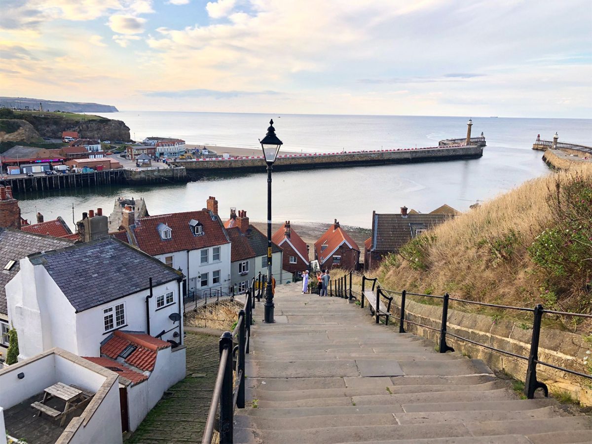
Before starting the main climb, make sure you have enough water and food for the complete coastal section. Once you leave Whitby, there are very few dependable facilities before Robin Hood’s Bay.
Walk east along Church Street towards the foot of the 199 Steps.
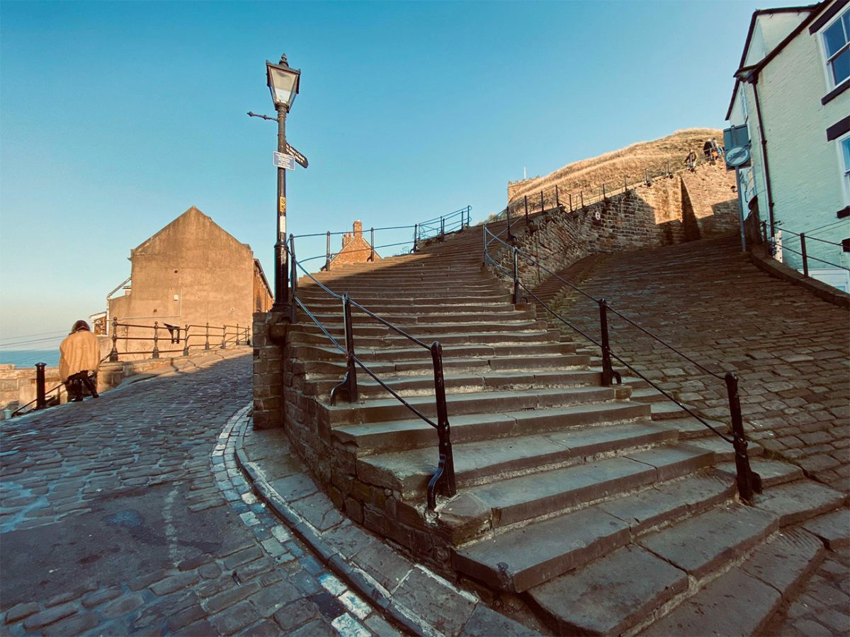
The steps climb steeply from the old town towards St Mary’s Church and the abbey headland. They are one of Whitby’s best-known landmarks and provide increasingly wide views over the harbour, red rooftops, River Esk and the town’s western side.
Despite the name, the precise number has sometimes generated debate because landings and later repairs complicate the count. For practical purposes, however, everyone knows them as the 199 Steps.
The stone can become slippery in rain, frost or sea mist. Take your time and allow people to pass, particularly during busy summer weekends.

At the top, arrive beside St Mary’s Church and its historic graveyard.
The church occupies one of the most dramatic positions in Whitby, overlooking the town and harbour from the East Cliff. The surrounding headstones and weathered landscape contribute strongly to the atmosphere associated with Bram Stoker’s Dracula.
Stoker visited Whitby in 1890, and locations around the harbour, abbey and churchyard helped shape parts of his novel. It is better to describe Whitby as an important inspiration and setting within Dracula rather than claiming that every local landmark directly appears in the book.
Continue across the headland towards Whitby Abbey.
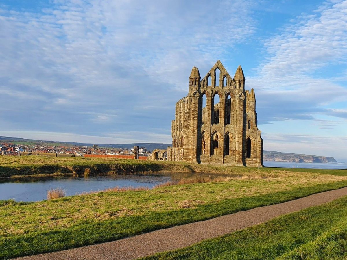
The ruined abbey stands prominently above the North Sea and has become the defining silhouette of the town. The headland has been associated with an Anglo-Saxon monastery led by St Hild, the later medieval abbey and subsequent historic buildings.

Walking around the public paths outside the attraction is free, but entering the English Heritage site requires a ticket. If you intend to explore the abbey properly, add at least an hour before beginning the coastal section.
Follow the Cleveland Way signs south from the abbey area.
The National Trail is identified by the acorn symbol used on routes across England and Wales. Fingerposts and waymarkers generally make the direction clear, but coastal erosion and temporary diversions can alter the precise line.
As Whitby begins to recede behind you, the path enters open farmland.
This change happens quickly. The harbour, abbey and busy streets give way to fields, stone walls, fences and long sea views.
Look back regularly during the opening section. The abbey ruins, church and clustered buildings of Whitby form one of the best views of the entire walk.
The trail follows the clifftop, sometimes relatively close to the edge and sometimes set farther inland.
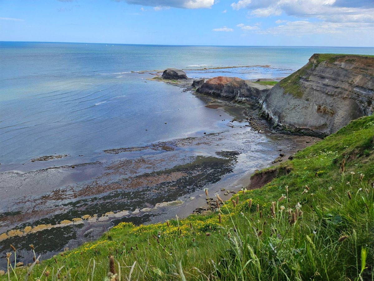
Do not leave the marked path to approach the cliffs for photographs. The visible top edge does not necessarily indicate stable ground, and erosion can leave unsupported turf extending over fractured rock or loose material.
Fences should never be crossed, even when a viewpoint appears safe. Storms, heavy rain and winter conditions can change the coastline between visits.
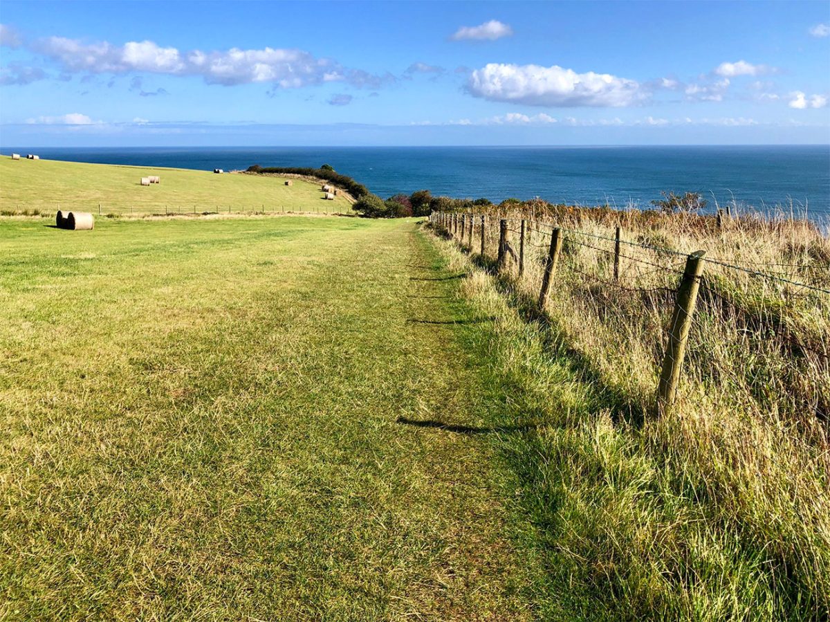
The terrain is initially a mixture of grassy paths, compacted earth and farm tracks.
During dry summer conditions, this can feel straightforward. After sustained rain, however, the surface may become muddy, rutted and slippery, particularly around gates, field corners and valley crossings.
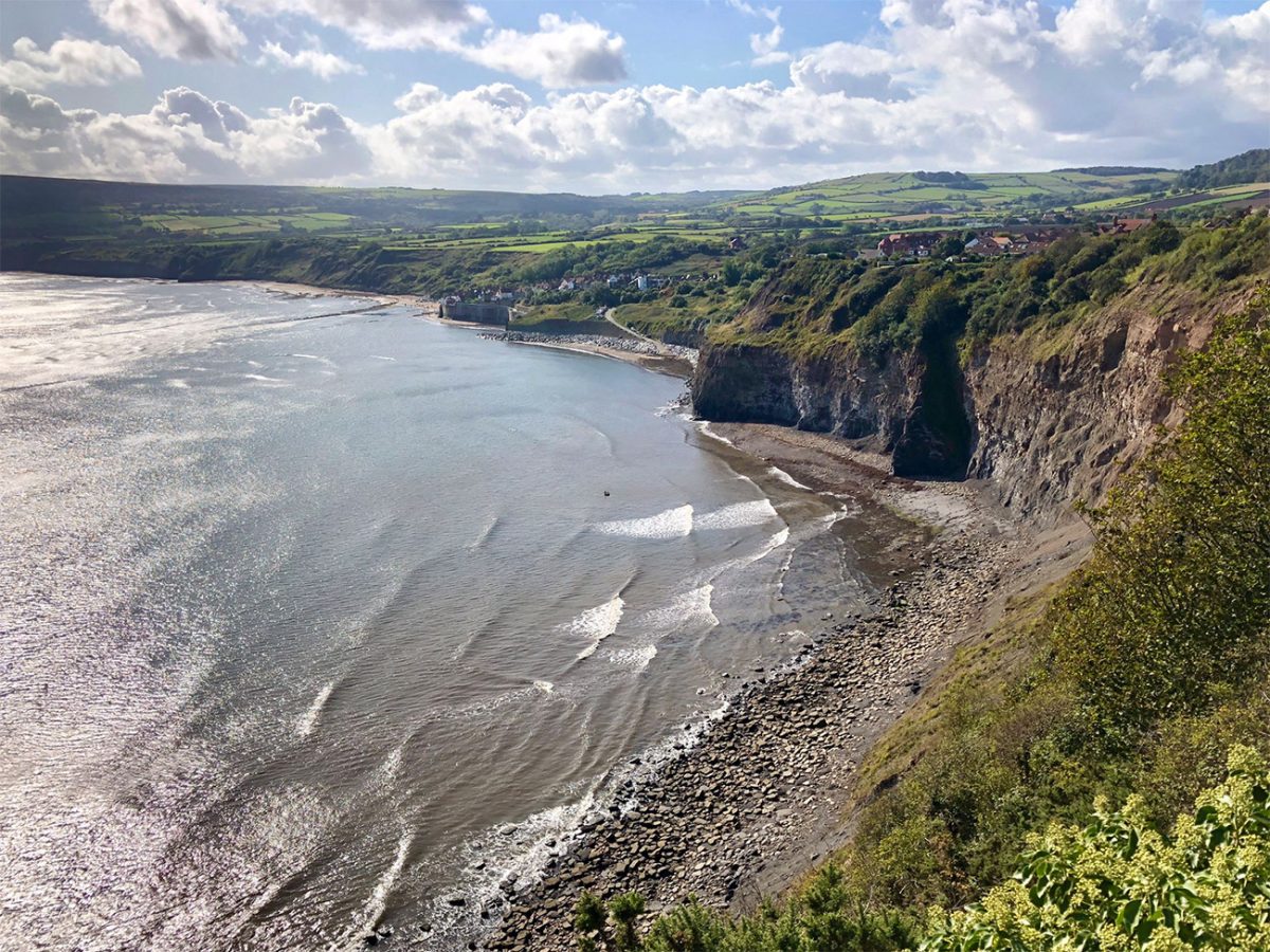
The route passes through or beside working farmland. Keep dogs under close control and use a lead whenever livestock are present.
Sheep and cattle may be encountered in the fields. Close gates securely and avoid disturbing animals, particularly where calves or young livestock are present.
The first half of the walk includes a succession of broad coastal views rather than major individual landmarks.
This is part of the appeal. The route creates a genuine sense of travelling along the edge of the country, with the North Sea stretching uninterrupted to the horizon.
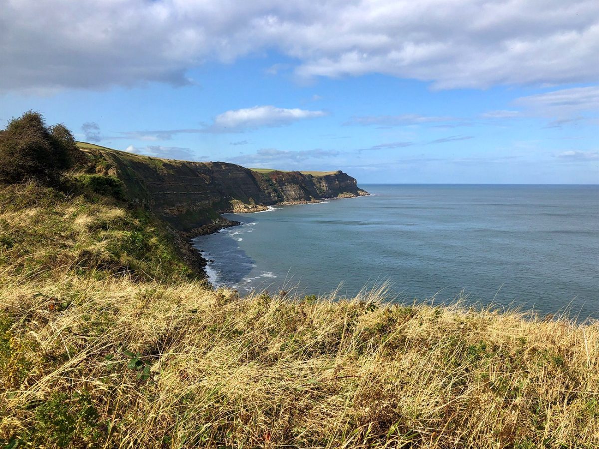
Sea birds may be seen along the cliffs and offshore. Depending on the season, these can include gulls, fulmars and other coastal species.
Wildflowers add colour during late spring and summer, with grasses, campion, foxgloves and other plants growing along the verges and field margins.
Continue following the Cleveland Way south.
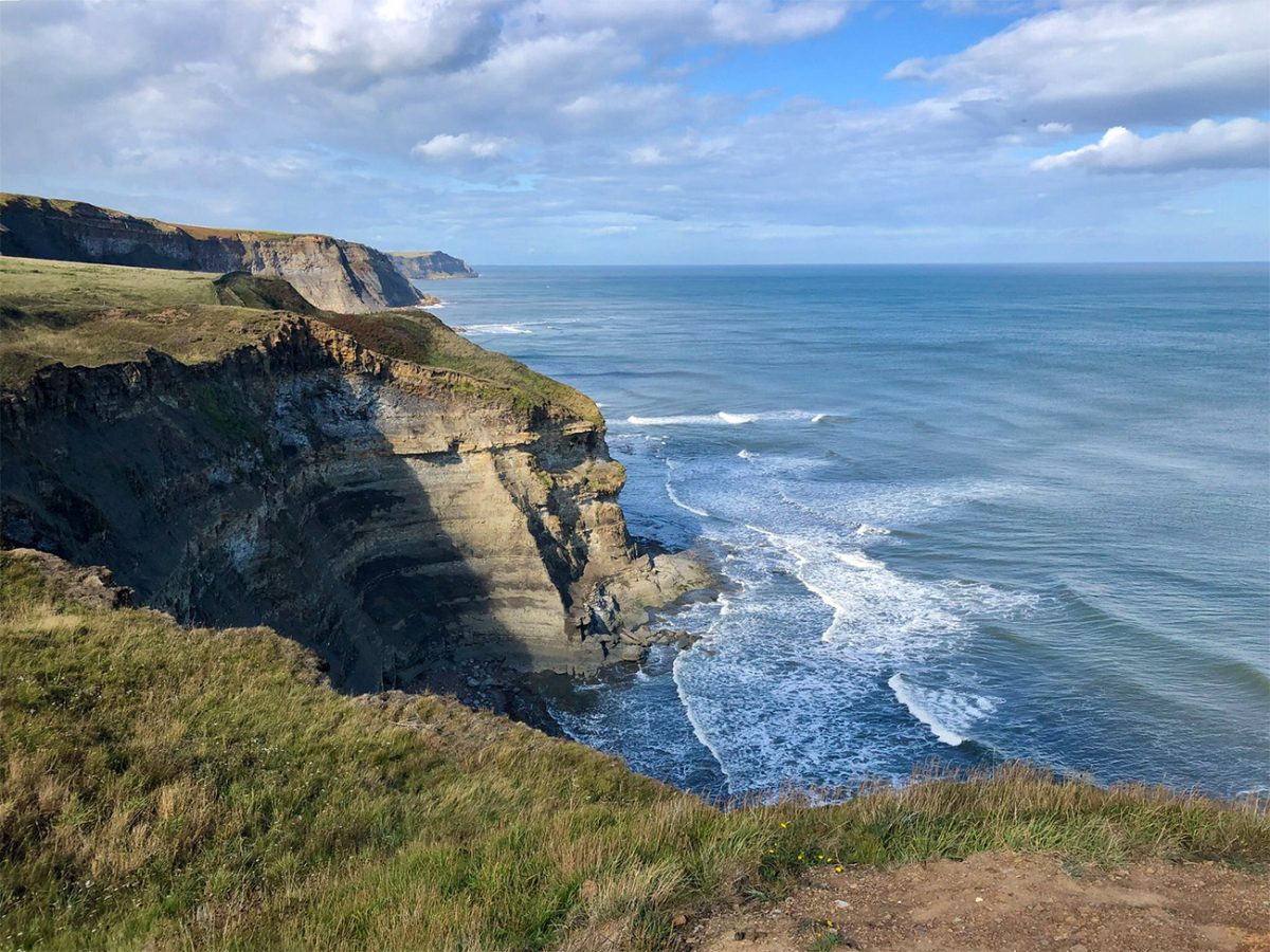
The path is not level for the full distance. Small streams and coastal valleys have cut into the plateau, causing repeated descents and climbs.
Individually, these changes are not severe, but together they add considerably more effort than the distance alone suggests.
Wooden or stone steps may assist on steeper ground. These can become slippery when covered by mud, wet vegetation or frost.
Take care descending, particularly if using walking poles. Loose soil and worn steps can be more awkward than the uphill sections.
The sea remains visible for most of the route, although hedges, field boundaries and the shape of the coastline occasionally interrupt the view.
On exposed sections, strong winds can affect balance. Coastal forecasts matter as much as rainfall, and a seemingly pleasant day inland can feel very different on the cliffs.
Turn back or use an inland escape route if winds become severe, visibility deteriorates or conditions feel unsafe.
There are occasional access points and tracks leading inland, but these should not be treated as guaranteed shortcuts unless you have checked that they are public rights of way.
Continue south towards the area around Hawsker Bottoms.
The countryside remains open and sparsely developed, with scattered farms, cottages and holiday accommodation set back from the edge.
This middle section often feels quieter than the areas close to Whitby and Robin Hood’s Bay. However, “solitude” should not be guaranteed because the Cleveland Way can be busy during weekends and settled weather.
A café is sometimes promoted on descriptions of the route, but businesses and opening hours change. Carry sufficient food and water rather than relying on an intermediate stop.
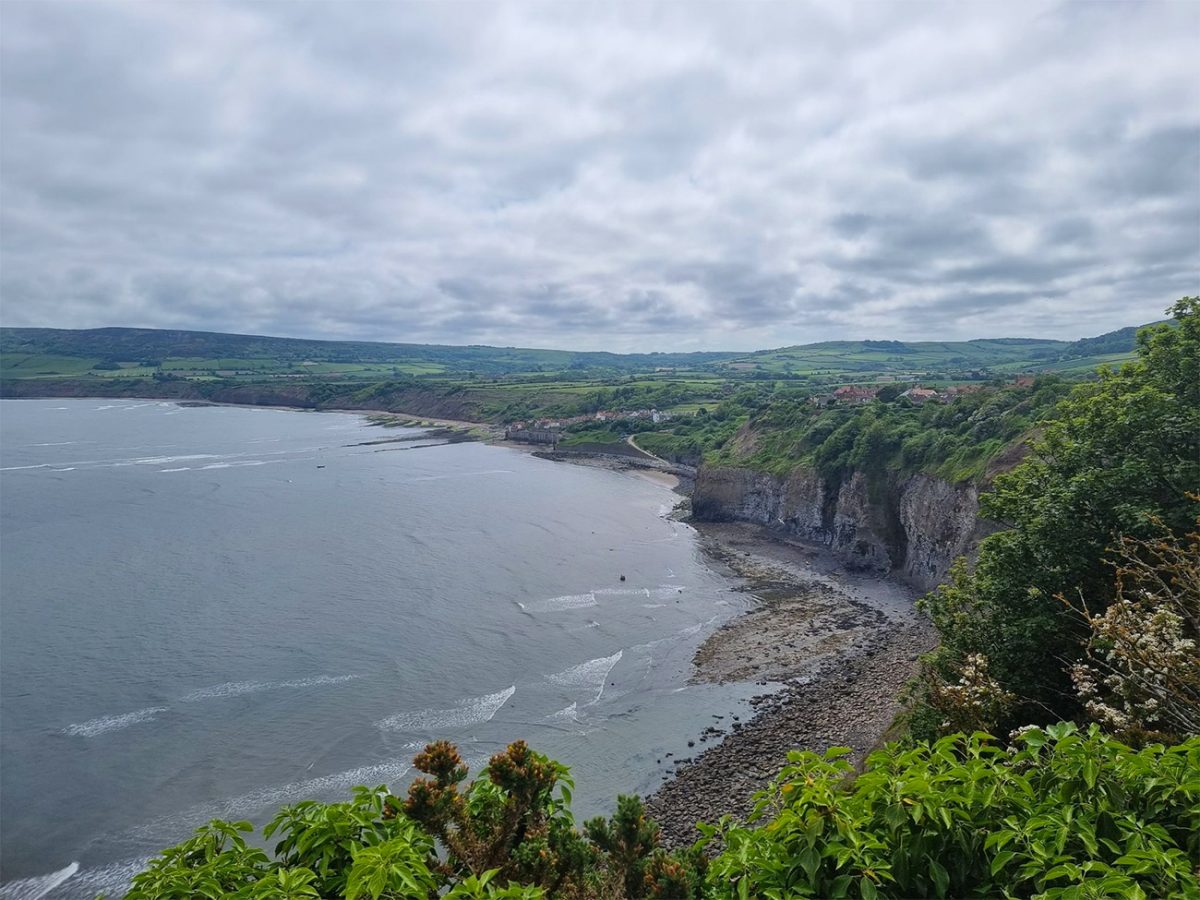
As progress continues, the coastline begins to curve more clearly towards Robin Hood’s Bay.
The distant headland of Ravenscar becomes increasingly prominent beyond the village. Ravenscar sits high above the southern side of the bay and is associated with an ambitious but largely unsuccessful Victorian resort development.
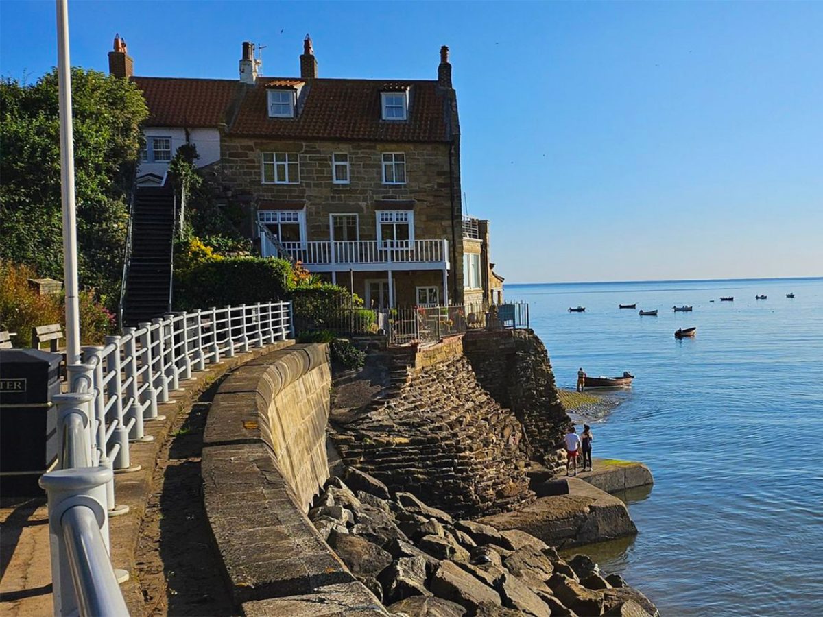
The broad sweep of the bay gives a strong visual sense of the remaining distance.
Although Robin Hood’s Bay may appear close, the route still has several changes in level and can take longer than expected.
Continue through the final fields and coastal sections, following all diversions and waymarkers.
The National Trail may occasionally be moved inland when erosion threatens the established line. Follow the signs on the ground rather than assuming an older GPX track will always represent the safest or legal route.
A GPX file remains very useful, but it should support rather than override current local signage.
As the route approaches Robin Hood’s Bay, the buildings of the upper village begin to appear.
This is the first substantial settlement since leaving Whitby. Facilities, bus stops and car parks are concentrated around the upper village near the main road.
The official Cleveland Way continues through the village, while this walk descends towards the historic lower settlement.
Follow the route down through the steep streets.
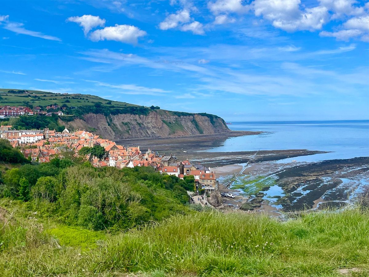
Robin Hood’s Bay is built into a narrow coastal ravine, and the main road drops sharply towards the sea. The descent is paved but sustained, and the return climb to the bus stop is easy to underestimate after completing the coast path.
The lower village is a maze of narrow lanes, cobbled passages, steps and former fishermen’s cottages.
During the eighteenth and early nineteenth centuries, the village became strongly associated with smuggling. Its tightly packed buildings, hidden yards and connecting passages contributed to stories of contraband being moved from the shore through the settlement.
The exact origin of the name Robin Hood’s Bay is uncertain, and there is no established historical evidence linking the outlaw directly with the village.
Continue downhill towards the Dock and the beach.
The slipway provides access to the shore and marks the traditional finish of Wainwright’s Coast to Coast Walk. A plaque near the top commemorates the end of the long-distance route from St Bees on the Irish Sea.
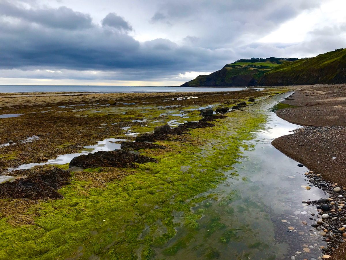
The beach and rock platforms can be fascinating to explore, but they introduce risks that are separate from the clifftop walk.
Check the tide before leaving the slipway area. Incoming water can cut people off beneath the cliffs or around headlands, and the national park advises all beach visitors to check tide times.
Do not search for fossils by digging into or striking the cliff face. Cliff falls can occur without warning, and the safest finds are loose material already lying on the beach.
North Yorkshire Council warns visitors about hazards associated with cliffs, piers and sea defences, and the general principle is to remain cautious around unstable coastal features.
The lower village contains pubs, cafés, tearooms and fish-and-chip options, although opening hours vary by day and season.
This is an excellent place to finish the walk, especially when the tide is out and the beach can be viewed safely from the slipway.
To catch the bus back to Whitby, climb through the village to the stop near Thorpe Lane in the upper settlement.
This final climb is not part of the measured coastal trail on every mapping platform, but it still has to be completed before using public transport. Allow at least 15–20 minutes to climb from the beach to the upper bus stop, depending on fitness and crowds.
The X93 and X94 currently serve Robin Hood’s Bay and Whitby, but routes and frequencies vary between seasons and days of the week. Check the latest timetable before starting and note the final practical return service.
An alternative approach is to park in or travel to Robin Hood’s Bay first, take the bus to Whitby and then walk back towards your accommodation or vehicle.
This removes the pressure of catching a particular bus after the walk and allows you to finish at your own pace.
The full route is approximately 11 kilometres or 7 miles, although GPS recordings vary according to the exact starting point, diversions and how far you descend into Robin Hood’s Bay.
Allow around 3.5 to 4.5 hours for most walkers. Strong walkers may complete it more quickly in dry conditions, but mud, wind, photography and stops can easily extend the day.
The route is best classified as moderate rather than easy. There is no scrambling, but the repeated gradients, exposed clifftops and potentially slippery terrain require reasonable fitness and confident footing.
Comfortable walking boots or trail shoes with good grip are preferable to ordinary flat-soled trainers. Waterproof boots are particularly helpful after wet weather.
Carry a waterproof jacket, warm layer, food, water, charged phone, portable power bank and the downloaded route.
Sun protection is also important because there is little shelter from direct sunlight on many parts of the clifftop.
Mobile coverage is often available but should not be guaranteed along every section. Download maps and bus information before starting.
The walk can be completed at any time of year when conditions are suitable, but winter brings shorter daylight, stronger winds, mud and possible frost.
Late spring and early autumn often provide a good balance of daylight, colour and manageable visitor numbers. Summer offers the longest days but can make both Whitby and Robin Hood’s Bay exceptionally busy.
This route succeeds because the beginning and end are as memorable as the landscape between them. Whitby provides history, Gothic atmosphere and a dramatic climb to the abbey, while Robin Hood’s Bay offers a steep, characterful descent to one of Yorkshire’s most distinctive coastal villages.

Walk this route yourself in 3D!
The video is a 3D walkthrough of this route; it’ll give you a great idea of what to expect before you set foot on the mountain.
I’ve created 3D videos of my walks and shared them with the Outdooractive and Welsh Man Walking communities.
Whitby to Robin Hood’s Bay Coastal Walk FAQs
Is Whitby to Robin Hood’s Bay a circular walk?
How difficult is the walk?
How long does the walk take?
Is the clifftop path safe?
Can I bring my dog?
Are there cafés or toilets along the route?
Is the Cleveland Way easy to follow?
Can I walk from Robin Hood’s Bay to Whitby instead?
Do I need to check tide times?
What should I pack?

Water-to-Go Named Best Watter Bottle for Travel. Click www.watertogo.eu + 20% Discount Using – ‘WMW20’

AllTrails: Trail Guides & Maps for Hiking, Camping, and Running | AllTrails ‘Plus’ 30% OFF – Read my ‘Full Review‘ for more details.