

Region: Symonds Yat, Herefordshire, England
Places To Stay: Base yourself in Monmouth if you want the biggest choice of hotels, restaurants, pubs and cafes, with only a short drive away. Looking for Welsh walks? Head to my Wales Hiking Guides page to see all regions and routes.
This 7.7-mile Symonds Yat and Biblins Bridge circular walk links some of the finest sights in the Wye Valley. Starting from Lord’s Wood Car Park, the anticlockwise route visits King Arthur’s Cave, follows the River Wye to Biblins Bridge, climbs through Lady Park Wood towards Near Hearkening Rock and continues to the famous viewpoint at Symonds Yat Rock.
You can drive to Symonds Yat Rock and park there, but noticing there were a couple of really interesting things to see and walk to, we put the circular together and we really enjoyed it. Symonds Yat East & West has to be one of the most beautiful areas of the UK, and it’s full of walkers of all ages, campers, tourists, kayakers, cyclists and because of this, it’s well maintained, has some excellent facilities and the trails are really good and well-trodden. We were able to stop and buy a coffee twice, there plenty of places to have a little rest on cut out logs, benches and so on, but there also plenty of places where you can be on your own in the woods, and really feel you’re off exploring and following trails.
If you’re fancying a bit kayaking or canoeing along the Wye, I highly recommend Symonds Yat Canoe Hire, and you’ll get to meet the legend Guy who’ll give you all the best advice for the day, you’ll love it.
Below are a three ideas for trips and tours available in the Wye Valley, GetYourGuide offer great discounts and availability + Many Wye Valley options!
Getting There: Directions, GPX and App Link
- Start and finish: Lord’s Wood Car Park, near Doward and Symonds Yat.
- Parking: Lord’s Wood Car Park is the recommended starting point. It is fairly small, so arriving early is sensible at weekends and during holidays.
- Direction: Walk the circular anticlockwise, following the GPX.
- Outdooractive: View and follow the route on my Outdooractive and Komoot profiles.
- GPX: Download my verified Symonds Yat and Biblins Bridge GPX file.
- If you’re unsure how to use one, my guide explains what a GPX file is in plain English.

Sim Local can reduce or even eliminate your roaming fees. Click www.simlocal.com/ + 10% Discount Using – ‘WELSHMAN’
Hike Profile
- Distance: 7.7 miles / 12.4 km
- Duration: Around 4 hours walking; allow up to 5 hours for a coffee break, photographs and time at the viewpoints
- Ascent: 1,391 ft / 424 m
- Difficulty: Moderate
- Start / Finish: Lord’s Wood Car Park
- Terrain: Woodland tracks, riverside paths, short steep slopes, surfaced sections and well-used trails
- Main highlights: King Arthur’s Cave, Biblins Bridge, the River Wye, Near Hearkening Rock and Symonds Yat Rock
- Navigation: Several woodland junctions make the verified GPX strongly recommended
- Route type: Anticlockwise circular
- Suitability: Suitable for children, inexperienced walkers and dogs with the fitness for a 7.7-mile route
Route Overview
| Section | From → To | Path | Approx. distance | Notes |
|---|---|---|---|---|
| 1 | Lord’s Wood Car Park → King Arthur’s Cave | Woodland paths | ~1.0 mile | Explore the cave area before descending towards the river. |
| 2 | King Arthur’s Cave → Biblins campsite | Woodland and riverside paths | ~1.2 miles | Descend to the River Wye and continue through the campsite. |
| 3 | Biblins campsite → Biblins Bridge | Riverside trail | ~0.5 mile | Cross the well-known suspension footbridge. |
| 4 | Biblins Bridge → Near Hearkening Rock | Steep woodland paths | ~1.1 miles | The main climb; slopes can become slippery in wet weather. |
| 5 | Near Hearkening Rock → Symonds Yat Rock | Woodland trails | ~1.5 miles | Follow the GPX through Lady Park Wood to the main viewpoint. |
| 6 | Symonds Yat Rock → Biblins Bridge | Highmeadow Trail and riverside path | ~1.4 miles | Descend to the Wye and follow the flatter return beside the river. |
| 7 | Biblins Bridge → Lord’s Wood Car Park | Woodland road and lane | ~1.0 mile | A final steady climb returns you to the start. |
Hike Description & Pics
The walk starts at Lord’s Wood Car Park. It is a small and convenient woodland starting point, but spaces can fill quickly, so an early arrival is worthwhile on busy days.
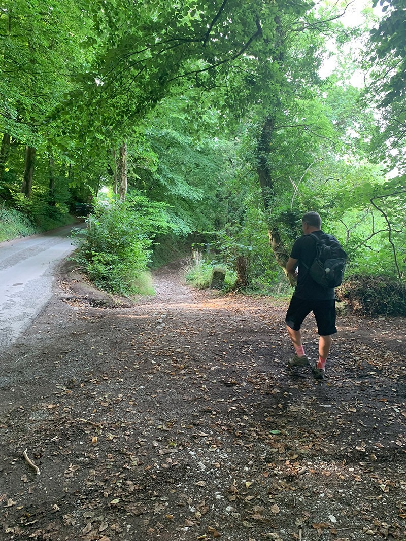
At this point you have 2 options, you can continue up the road walk past the camping site, and then you’ll come across the message board for the caves on your right. I have added this way to the app route as it basically makes for a better-looking route, seeing you do a bit of a circle to then head down to the river.
But at the free car park there is a path to the right that will take you to the same place, and you will see another message board for ‘King Arthurs Caves’. Once you have finished looking at the caves, follow the app route advice and you’re then basically back on track.

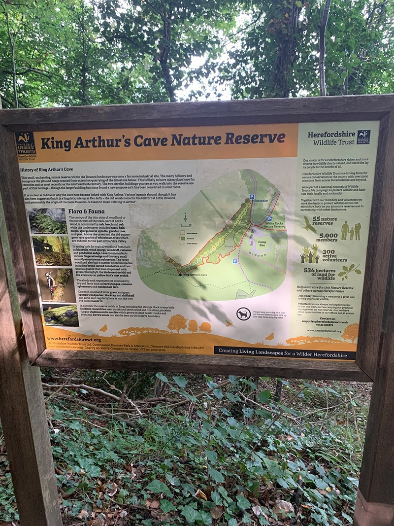
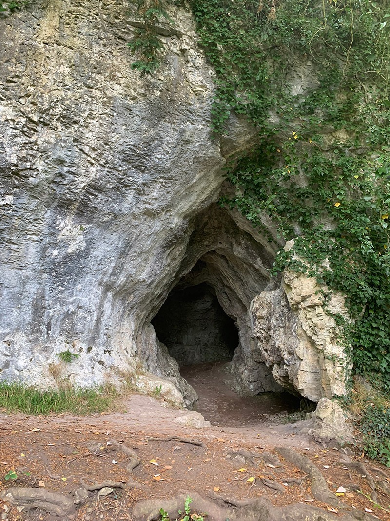
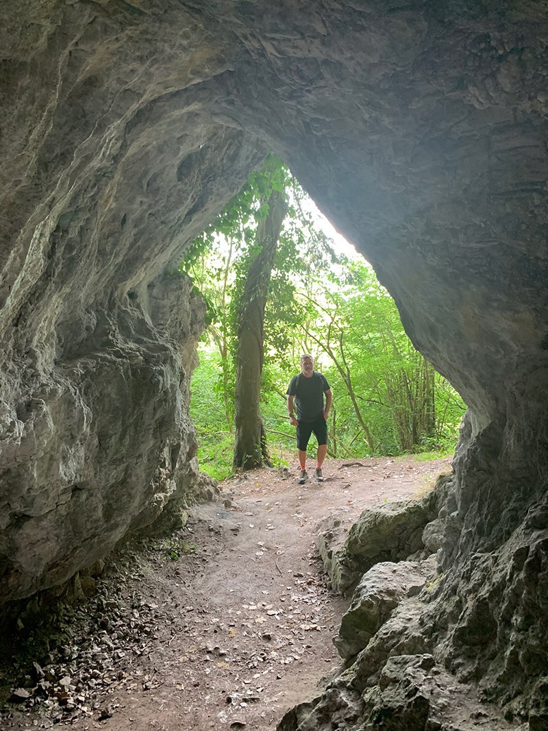
The King Arthur’s Cave nature reserve, is a really interesting area, and the shade in the summer is beautiful. The old quarry workings and a number of small caves provide a refuge for Horseshoe Bats and best to warn you, it also gives a home to the Cave Spider and hibernating Herald Moths.
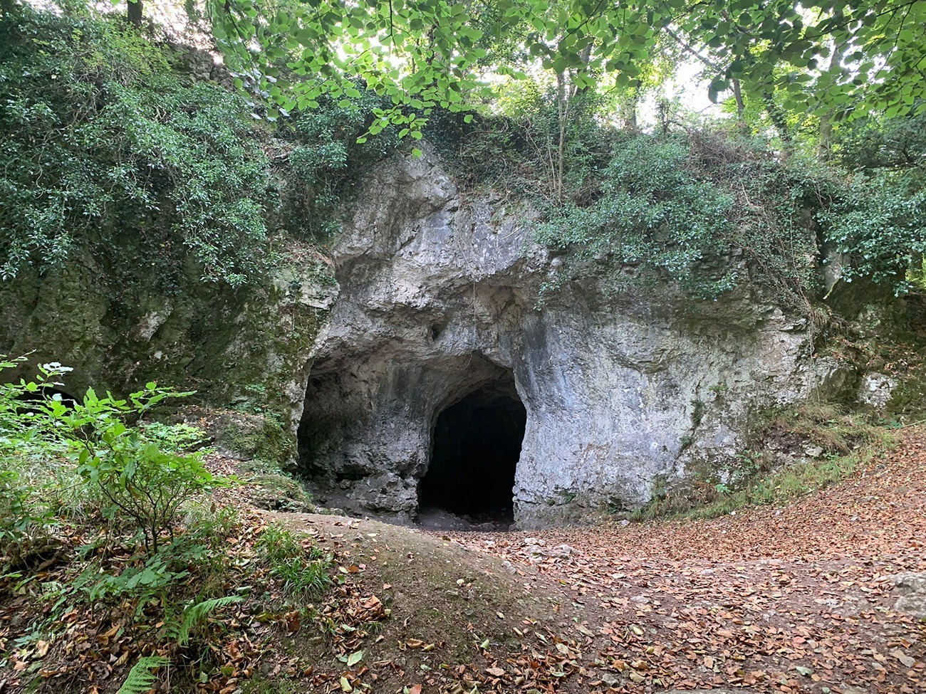
King Arthur’s Cave is a limestone cave that was occupied by man during the Upper Palaeolithic era, and flint tools and woolly mammoth bones have been unearthed within and around the caves. There is also a bit of a story where a skeleton of a “giant human” was supposedly discovered in the cave around 1700, but was lost when a local surgeon named Mr. Pye took the skeleton to sea on a voyage to Jamaica and his ship sank.
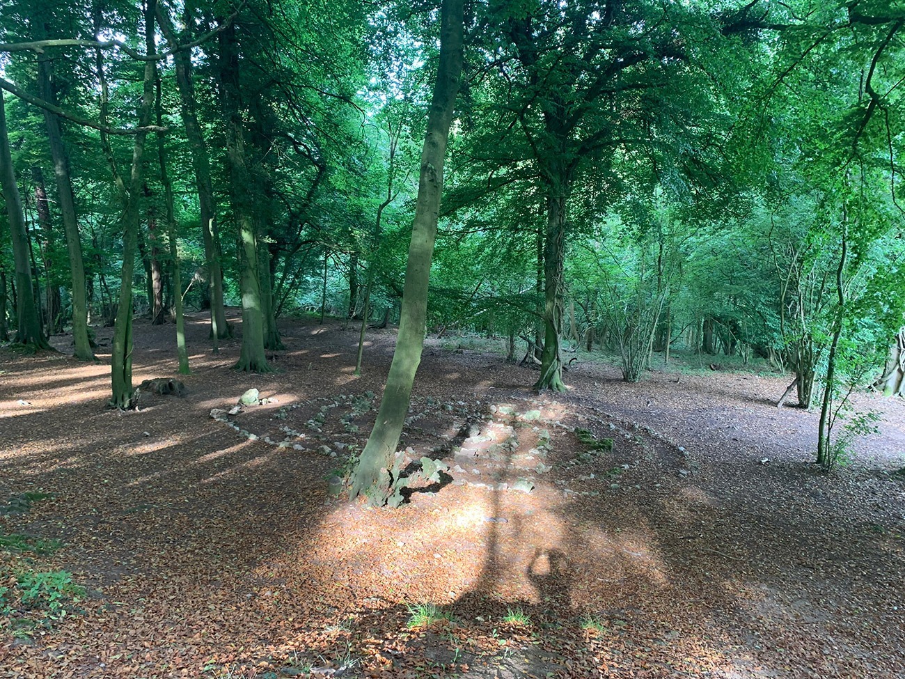
Once you are back on the route, you will head down to the River Wye and follow that for a short while until you arrive at ‘Woodcroft Folk’ inside ‘Biblins Youth Campsite’. This is a really well-maintained campsite and sits right on the river, and as we walked through all we could smell where people having breakfast, so make sure you’ve had yours before you leave, we were tempted to ask for a bacon sarnie!
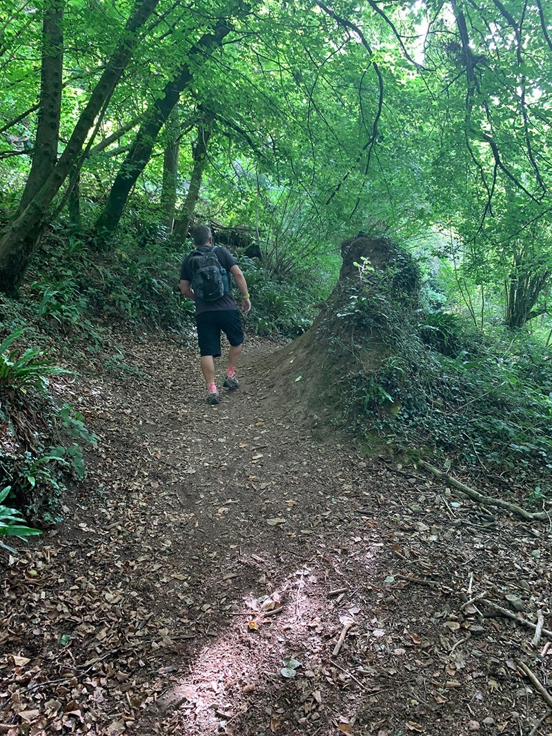
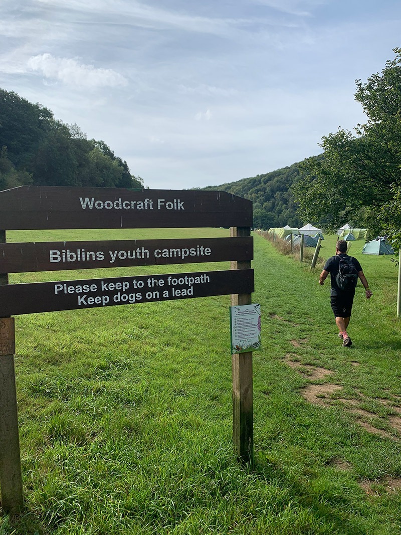
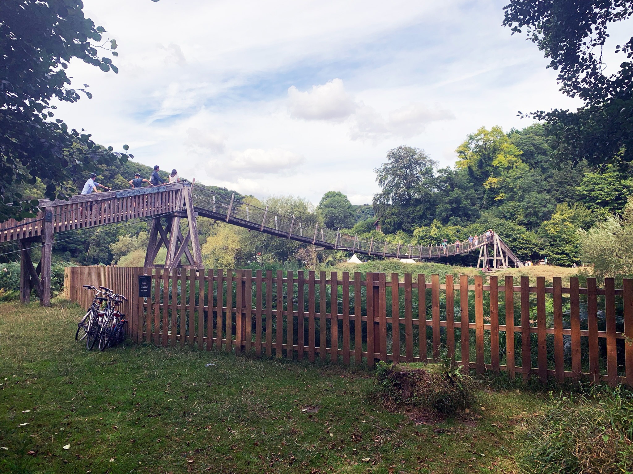
Walk through the campsite, follow the river and then you will walk straight towards the fantastic Biblins Bridge, which is the only crossing over the river for another 7 miles. It connects the Forest of Dean with the wider Wye Valley Area. Back in 1919, this site was a winch point for moving logs across the river and then in 1924 this was converted to a footbridge. The wire mesh suspension bridge that is there today was originally built in 1957, but much of it has been replaced since. On the other side is where we took our first break, sitting on a carved-out tree having a flask of coffee and some snacks.
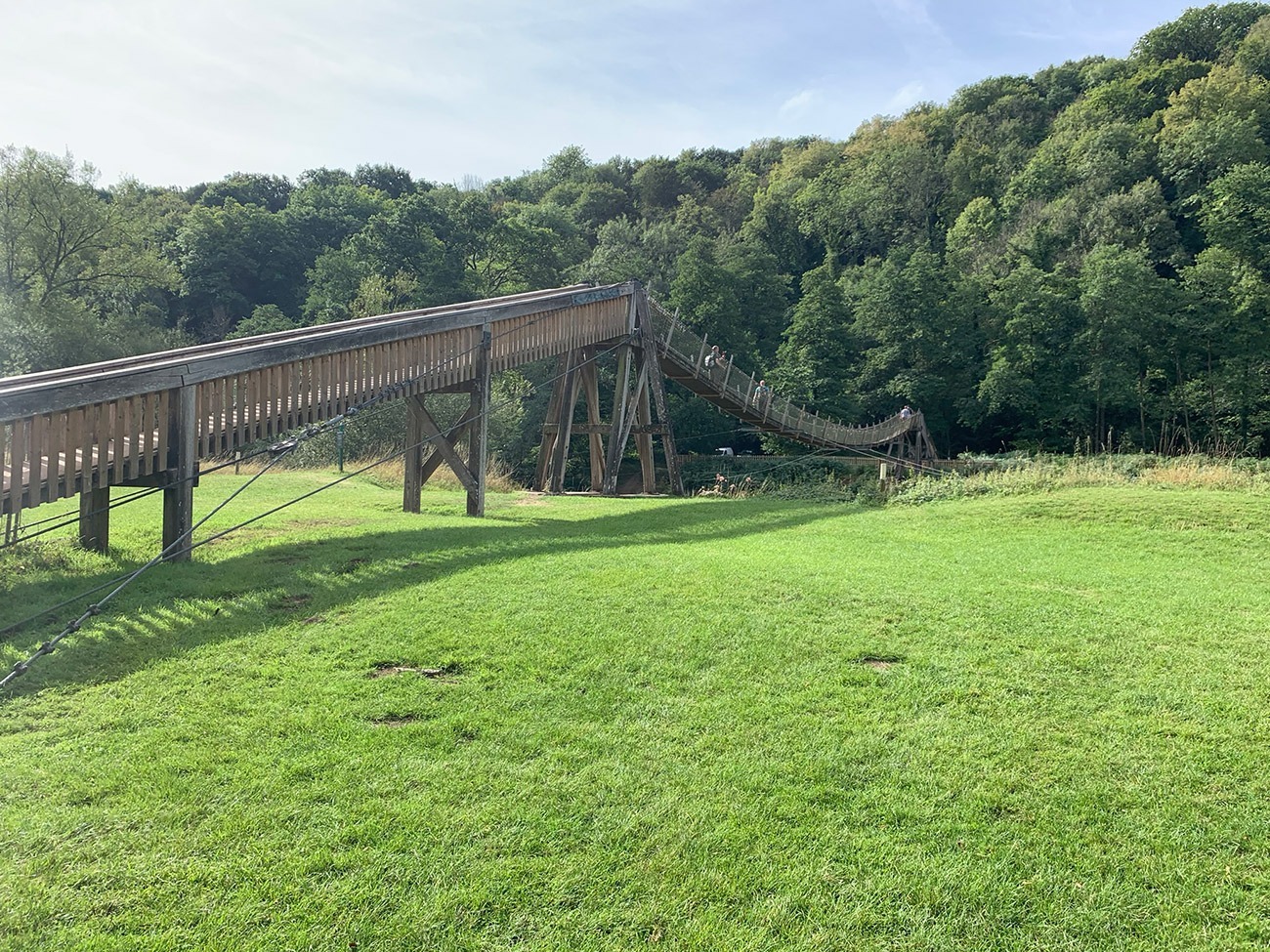
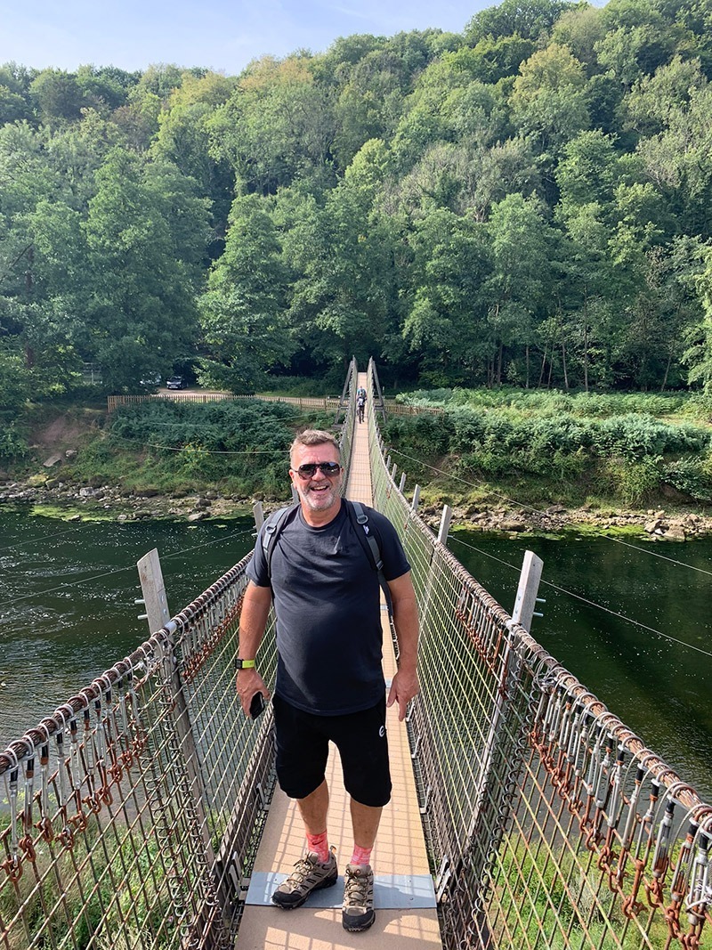

After you walk off the bridge, head to the left, and you will see the log above, but you also have 2 options here. The one option is to keep walking along this path, and you will arrive at the bottom of Symonds Yat Rock, and also a few pubs, and here you can walk up to the rock. The other option is to walk up quite a steep incline through the woods and take in the view from Near Hearkening Rock. If you go this way which I have put in my route, you will eventually walk back along this path to the bridge from Symonds Yat Rock.
We decided to take in the hike up through the woods, and if you decide to also, just up the path from the bridge there is a not so clear cut through on your right which will take you up through Lady Park Wood, which has an interesting story as it was set aside in 1944 to study how natural woodlands develop.Near Hearkening Rock was supposed to have been a listening post used by gamekeepers to detect poachers in search of the Kings Deer (and by Royalist Troops during the Civil War). It is a bit of a trek up there, but the woods are beautiful and very quiet.
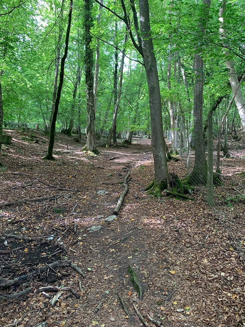
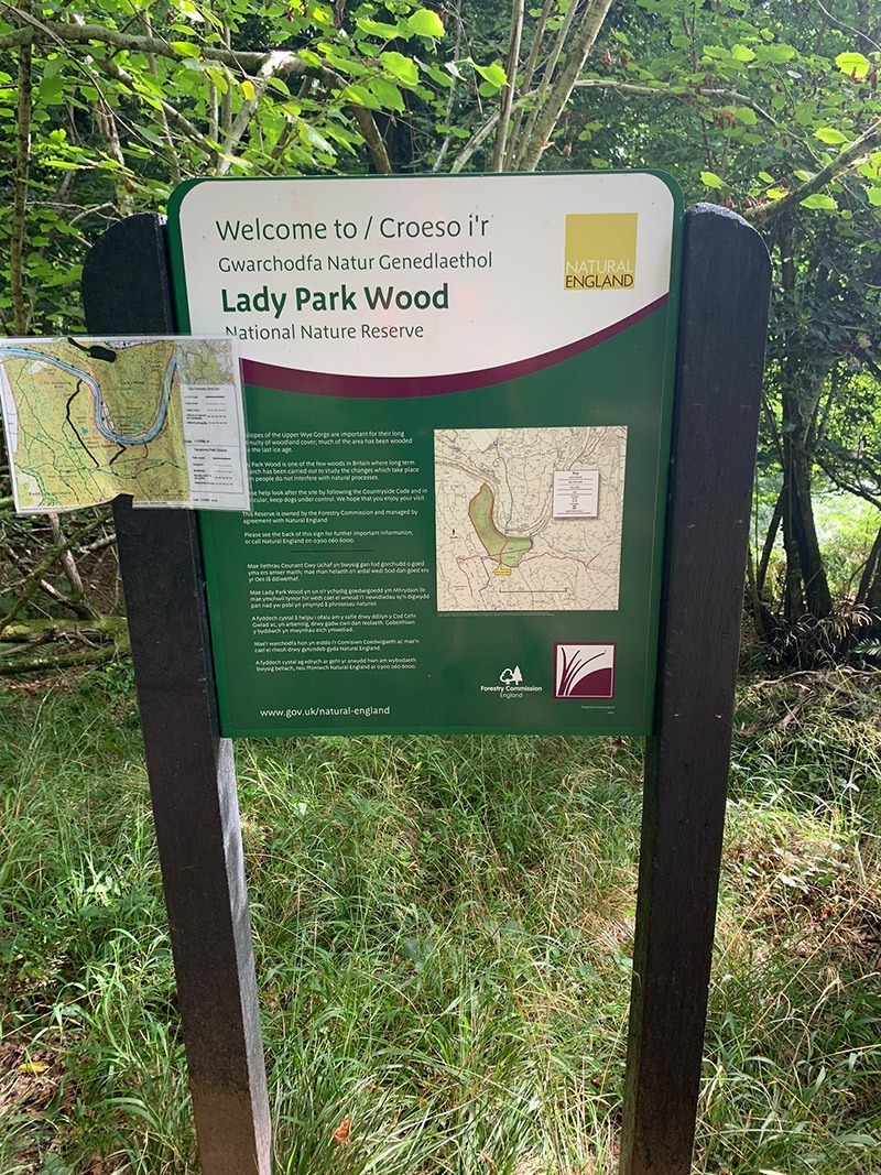
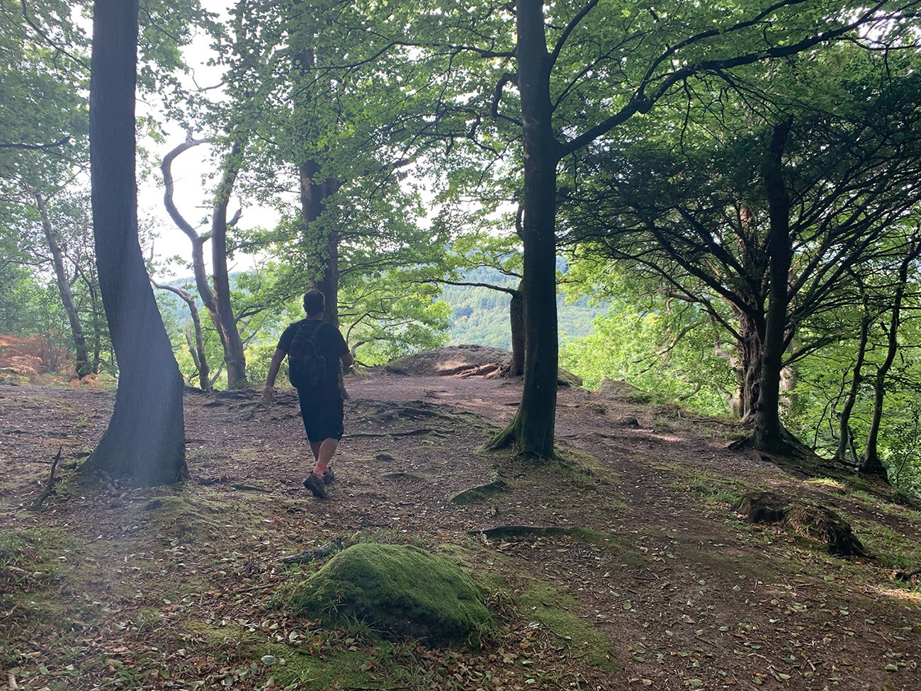
From Hearkening Rock you back on yourself a little bit, and the route will guide you through the woods along well-worn paths, as you zig-zag your way towards Symonds Yat Rock. It is a beautiful route, and we didn’t see many people, and it is also a popular route for bikers, so just always be aware. After an hour and half or so, you know you have reached Symonds Yat Rock because you will join a road and then reach the large visitor car park. It is a really popular destination, but don’t let that put you off: the facilities are good, the atmosphere is relaxed and the views from the rock are amazing.
The first wooden building are the toilets, then follow the ‘Viewpoint’ signs which will take you to the Cafe area and the beautiful walkway to the views.
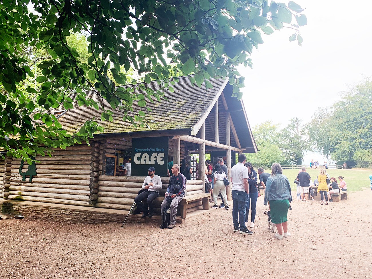
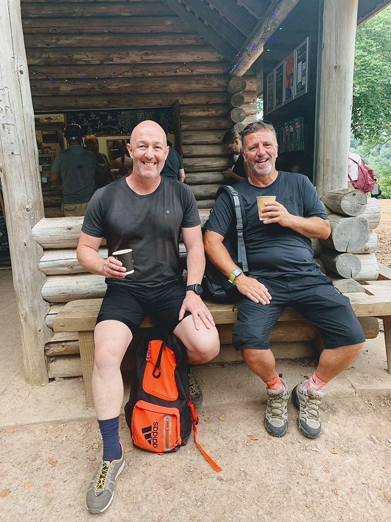

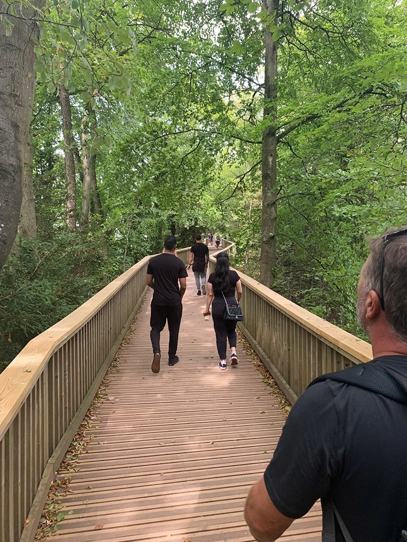
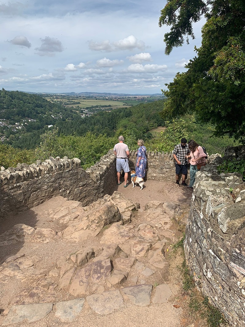
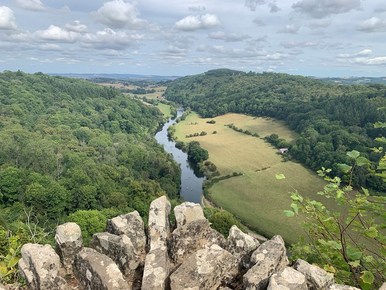
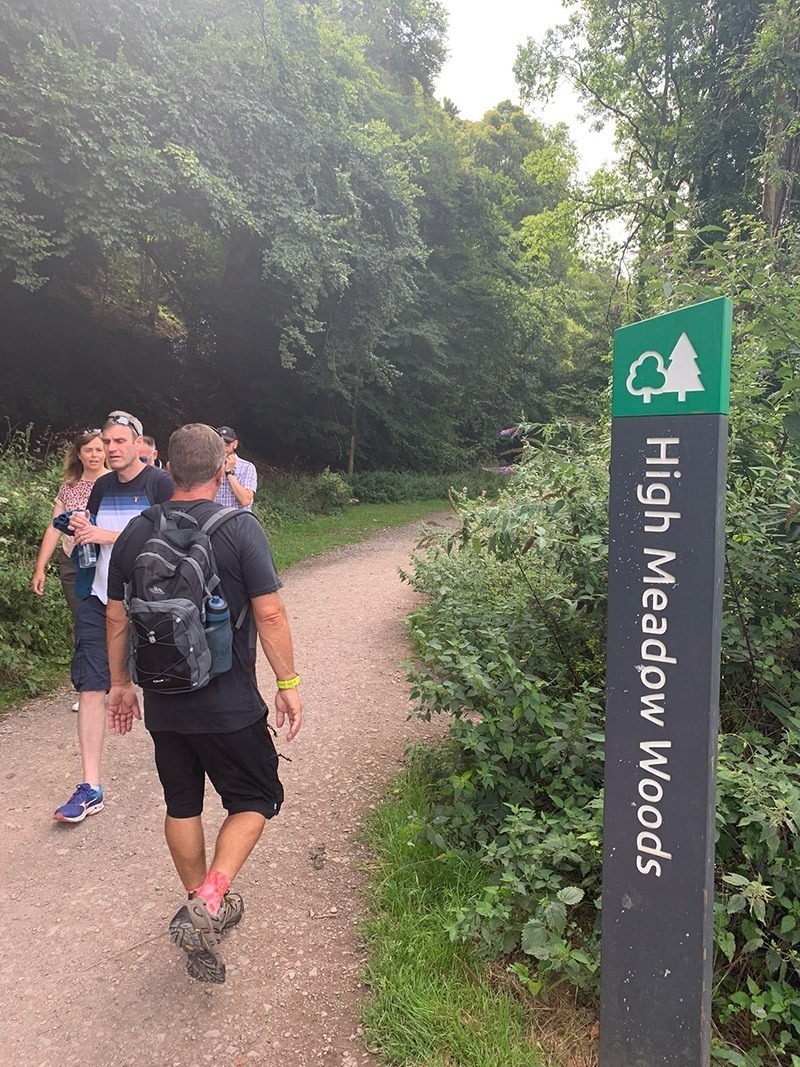
We had a nice rest at the top, then found our path down from the rock which was called ‘Highmeadow Trail’ which is just up from the cafe. That path will take you all the way down and back onto the flat next to the River Wye. We then turned left, walked through the car park, and joined up to ‘High Meadow Woods’ which is a long flat walk along the River Wye back to ‘Biblins Bridge’.
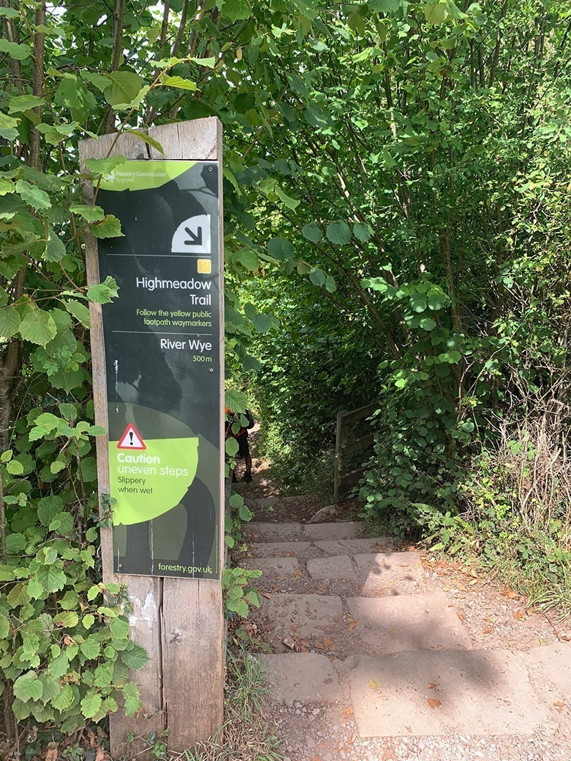
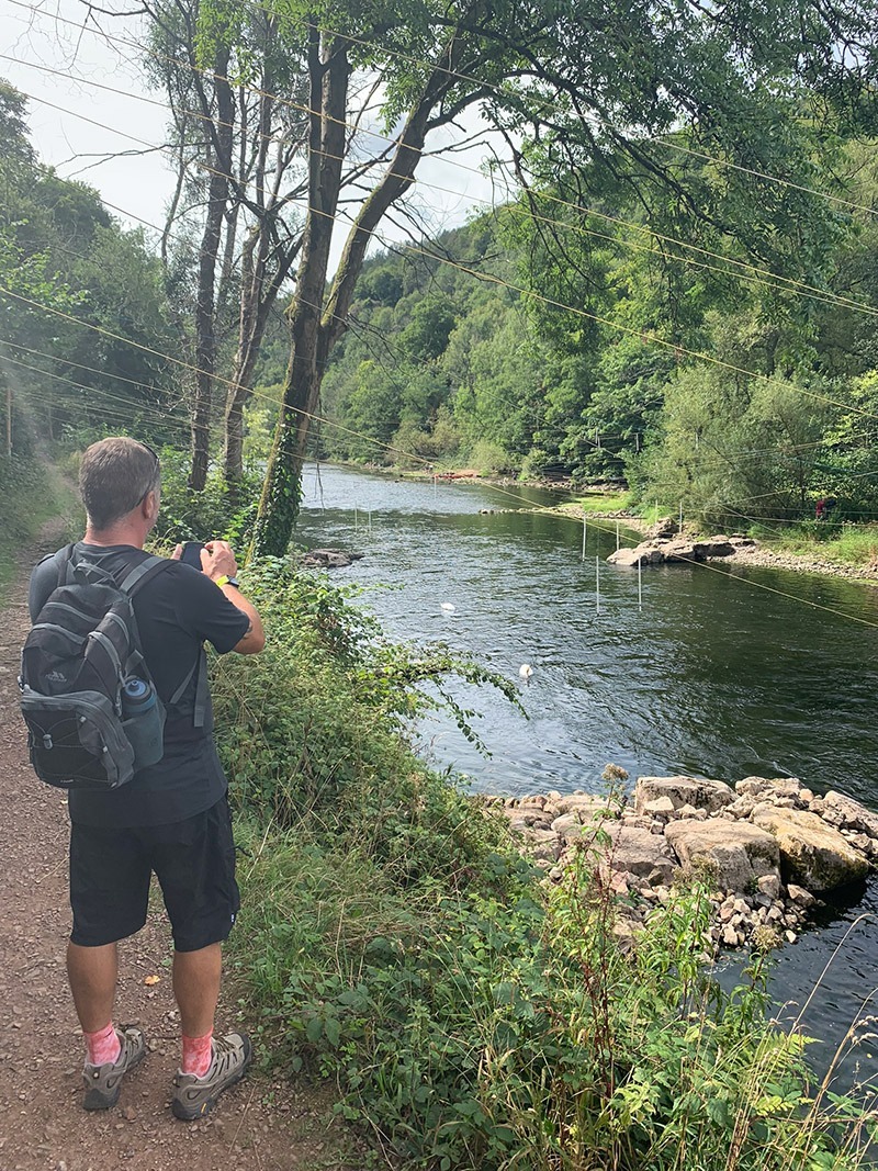
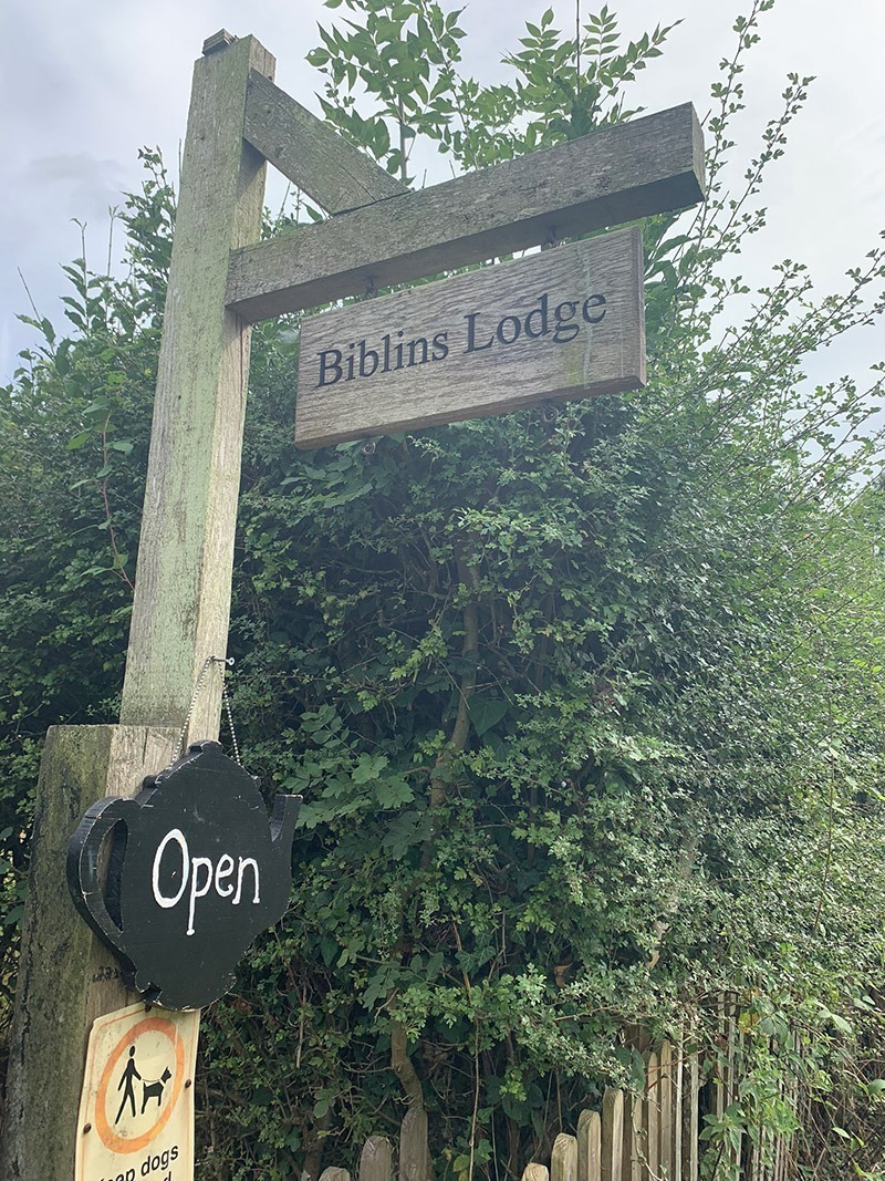
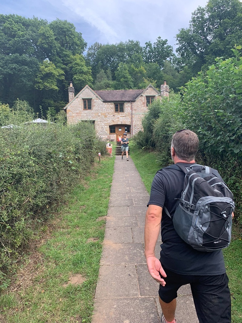
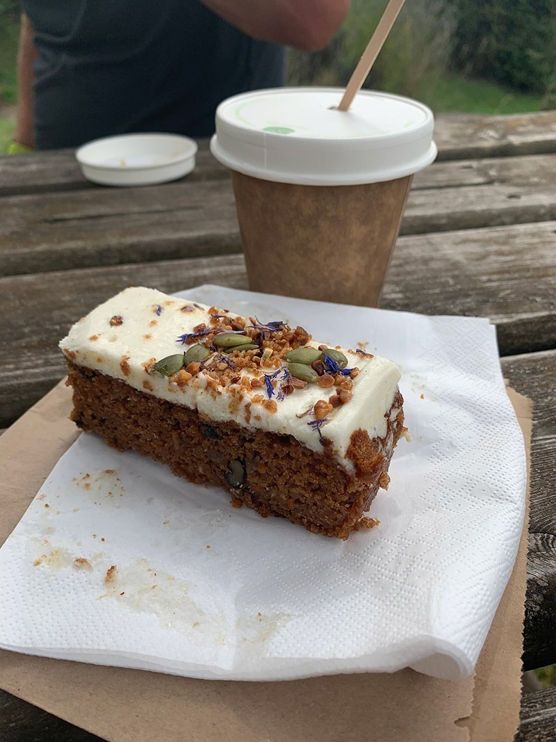
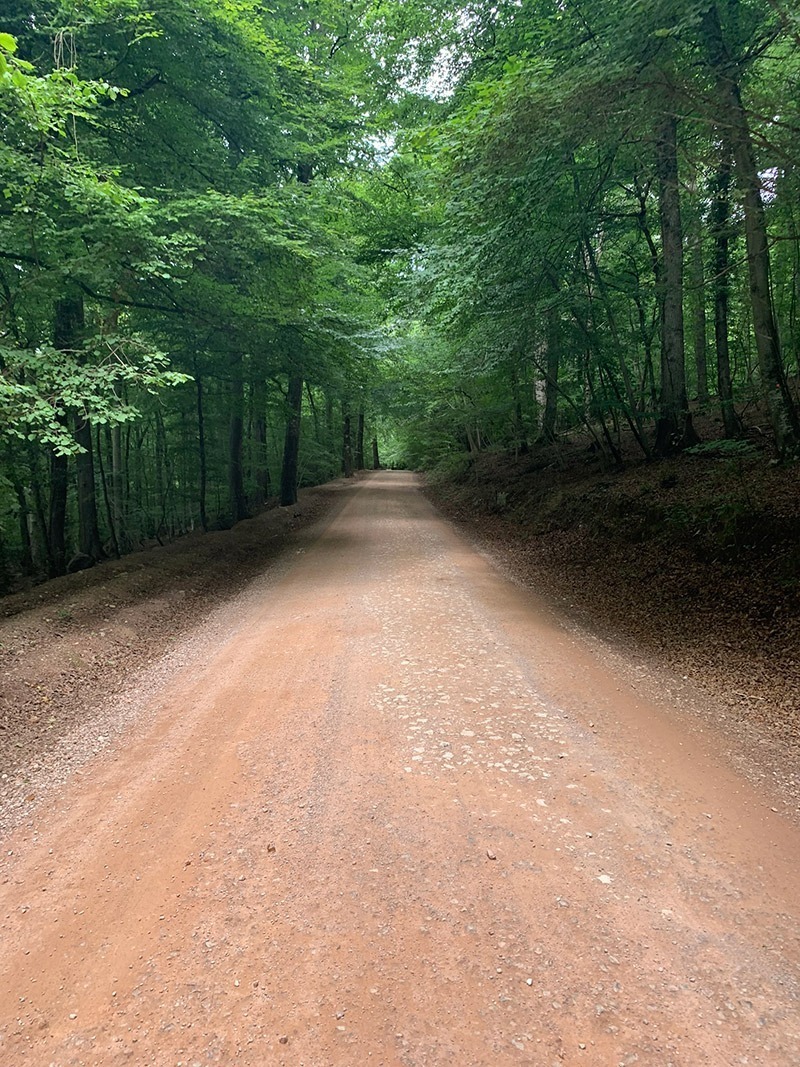
Over the other side of the bridge the route is to turn right and look for the road which heads up through the woods back to the top. Before taking that road, instead we turned left off the bridge and went for a coffee and a bit of cake at ‘Biblins Lodge/Tea Room’. Back on the road, it is quite steep, and can be pretty busy, but it’s only for private cars. Once you reach the top, you will arrive back at Doward Park Campsite, then it’s simply a 500 yard walk down the lane to the car.
Practicalities
- Parking: Start at Lord’s Wood Car Park. It is small, so arrive early on busy weekends.
- Direction: This guide and GPX follow the route anticlockwise.
- Footwear: Wear grippy walking shoes or boots. Several woodland slopes can become slippery after rain.
- Navigation: Carry the GPX. The woodland contains numerous paths and junctions that can be difficult to describe precisely.
- Food and water: Carry enough for a four-hour walk. Allowing five hours gives you time for a flask break and stops at the viewpoints.
- Biblins Bridge: Cross carefully and follow any capacity or access instructions displayed at the bridge.
- Terrain: Nothing on the route is technically dangerous, but take care on the steeper ascents and descents when they are wet.
- Children: Suitable for active children who can comfortably manage 7.7 miles and 1,391 ft of ascent.
- Dogs: A suitable route for dogs. No livestock was encountered on this walk, but keep dogs under control around other walkers, cyclists and wildlife.
- Cyclists: Some woodland tracks are shared with mountain bikers, so stay alert at bends and junctions.
- Facilities: Symonds Yat Rock has visitor facilities, but opening arrangements can change, so do not rely on them as your only source of food or water.
- Weather: The woodland can remain damp and slippery even when the wider weather is dry.

Walk this route yourself in 3D!
The Video is a 3D walk through of this route, it will give you a unique sense of having walked through the route before you start.
I have created 3D Videos of my adventures and have shared them with the OutdoorActive community as well as my walking community.
Symonds Yat and Biblins Bridge Walk FAQs
How long is the Symonds Yat and Biblins Bridge circular walk?
How long does the walk take?
Where should I park for the walk?
Is the Symonds Yat circular walk difficult?
Does the route cross Biblins Bridge?
Does the walk visit King Arthur’s Cave?
Can I walk from Biblins Bridge to Symonds Yat Rock?
Is the walk suitable for children?
Is the route suitable for dogs?
Do I need the GPX for this walk?

Water-to-Go named Best Water Bottle for Travel. Visit Water-to-Go and use code WMW20 for 20% off.
I followed this walk last week via Outdoor Active and it was a great route. Tks Lee.
Thanks Gary, always good to have some feedback, and great to see you today on the Sugar Loaf walk. See you soon
We are coming to Symonds yat and would start our walk from there and obviously want a circular walk. To include the bridge and the caves along with anything else. Suggestions would be great please.
V
Hi V, well this walk you are looking at is the perfect circular for what you are looking for. It starts above Biblins then you make your way to the caves, then down again to the river, along there and to Biblins Bridge. Then if you follow this trail that I uploaded to my Outdooractive account, it will then take you through the woods, and over to Symonds Yat rock, and then down from there, back to the bridge, and up and return to the car park. You can download the route as a gpx file, or use it on the Outdooractive app, and it’s free. If you need any help with the app and how to access the trail, just let me know. Thanks for getting in touch also. Lee
Hey Lee! Been a regular visitor as we’re Insta buddies (@trigbaggingherefordshire) – great site, I love how much awesome info you cram into it – as a fellow blogger I know how time consuming this is so I wanted to drop a comment to let you know how useful the site is to me! PS, If you wanna check out these spots throughout Herefordshire with the added bonus of a trig point, check out my site if you get a sec!
Oh nice one, and thank you very much, and you feel the pain also writing these posts 😊, but glad it’s being of use, and yes I have been to your site already when I was trying to work out a hike your way, but in the end we didnt go.
But thanks for dropping a message, really nice of you, and hopefully we can both carry on with our good work well into the future.
We did this walk today using the route from the link on Outdoor active app – great walk and the first half we hardly saw anyone, except a deer, and listening to woodpeckers and birds as we walked as it was so peaceful.
Evening Jo,
Sorry for the late reply, I have been out hiking myself this weekend and haven’t long got in. That walk is pretty special and I love it, there is so much history to it, and it has the bridge and Symonds Yat Rock and a few places to have a coffee and some cake, so yes it is a favourite. Thanks for posting this message though I really appreciate that, and if I can help with anything in the future, don’t hesitate to get in contact.
Take care
Lee