


Region: Coniston, Lake District National Park, Cumbria
Places To Stay: Coniston village has plenty of B&Bs and inns. Try: Stay in Coniston or browse more Lake District Accommodation, there are so many option, but my advice would be to book early.
Looking for more Lake District walks? Try Catbells, Scafell Pike, Helvellyn, Buttermere
The Old Man of Coniston is one of the Lake District’s classic mountain walks, combining a famous summit with remote tarns, historic quarry workings and a superb high-level ridge above Coniston Water. At 803 metres, the Old Man is not among the highest peaks in the national park, but its isolated position and steep eastern slopes give it the atmosphere and far-reaching views of a much larger mountain.
Beginning from Walna Scar Road, this circular route climbs through the remains of Coniston’s slate-mining landscape to Low Water before making the steep final ascent to the summit. Rather than returning by the same path, the walk continues over Brim Fell and Goat’s Hause to Dow Crag, followed by a memorable ridge crossing over Buck Pike and Brown Pike.
The result is a varied and rewarding mountain circuit with views across Coniston Water, Morecambe Bay and the surrounding Southern Fells. There is no technical scrambling on the standard route, but steep climbs, rocky paths, exposed high ground and a substantial amount of ascent make it a proper mountain day. It is ideal for walkers who are ready to progress beyond lower-level Lake District routes while avoiding the sustained scrambling found on mountains such as Tryfan or Helvellyn via Striding Edge.
Below are a 3 ideas for trips and tours available in the Lake District, GetYourGuide offer great discounts and availability + Many more!
Looking for Cheap Flights? Try the Skyscanner Flight Checker Below.
This is how I find my ‘Flight Tickets‘, I fly when the price suits my budget. Flying to Heathrow is the best option for London.
Getting There: Directions, GPX and App Link
- Start point: Walna Scar Road Car Park, Coniston (postcode: LA21 8HD)
- Google Maps: Walna Scar Car Park – Coniston
- GPX: Download the GPX file here for use on your GPS device or watch
- You can also view and follow this route on my Outdooractive and Komoot profiles
- Avoid the early start – find accommodation near Coniston
Hike Profile
- Distance: 7 miles / 11 km (circular)
- Duration: 5 – 6 hours
- Highest point: 800m / 2621ft
- Difficulty: Moderate – steep in places, rocky paths, some exposure
- Route conditions: Good mountain paths, but wear boots and check the forecast

Sim Local can reduce or even eliminate your roaming fees. Click www.simlocal.com/ + 10% Discount Using – ‘WELSHMAN’
Hike Description
The Old Man of Coniston circular walk begins at Walna Scar Road car park, positioned high above Coniston village on the lower southern slopes of the fell. Starting from this elevated location removes some of the climbing from the village, but this remains a substantial mountain route with several summits and a long ridge traverse. Even though you do start here, please make sure you visit the village, it is beautiful, has loads to offer and I managed to have my usual coffee and cake at the end.
From the car park, begin by following a wide track towards the mountain. Walna Scar Road became what it is because it was used as a packhorse route between Coniston and the Duddon Valley back in the day, but now it provides a great easy-to-follow start and a useful return route later in the walk.
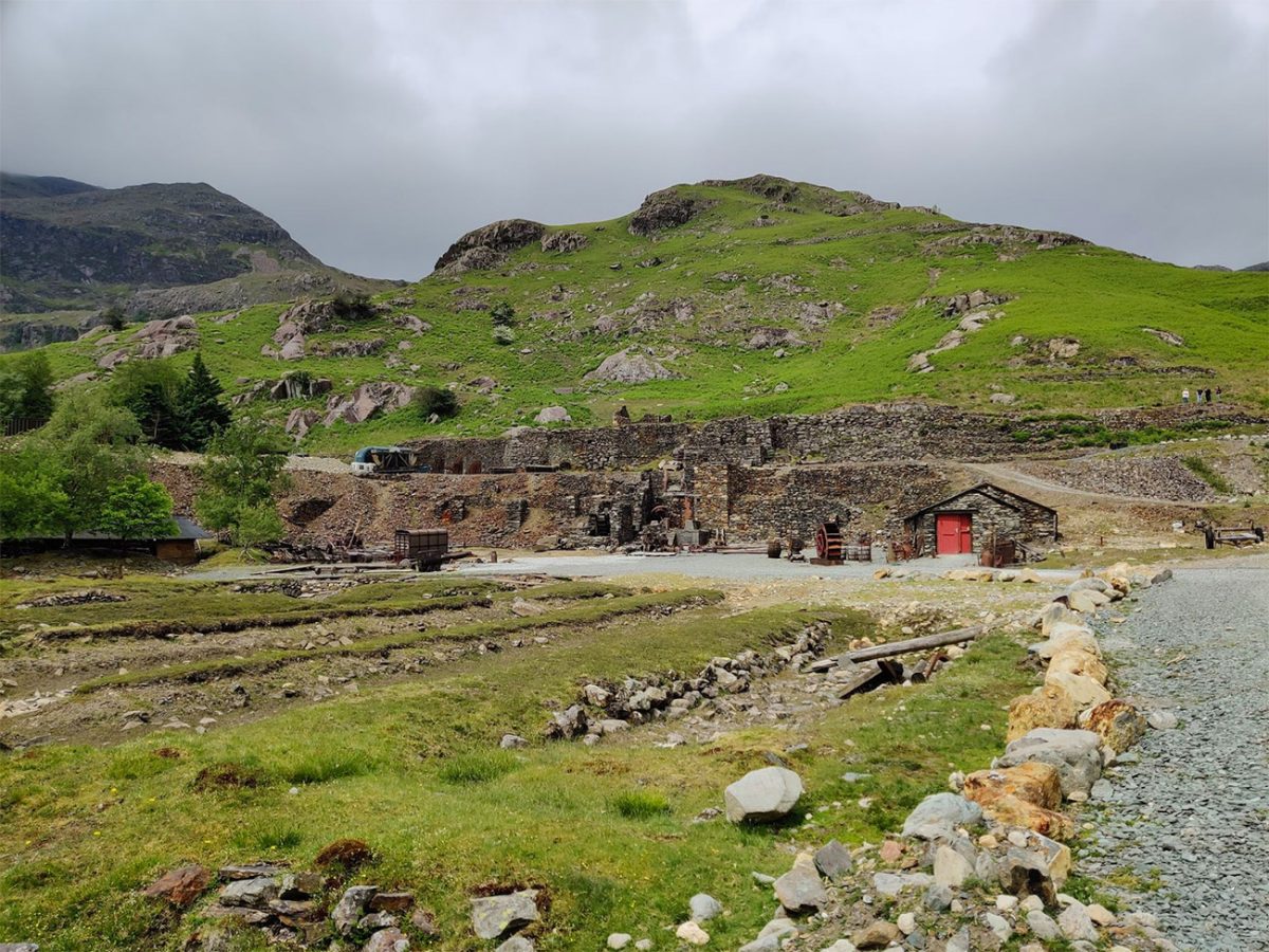
Leave the main track and follow the path that climbs up towards the old quarry workings. The terrain does change and it becomes steeper and rockier as the route climbs through an incredible landscape shaped by centuries of hard work by the locals when quarrying for slate. Stone buildings, spoil heaps, tracks and industrial ruins are all around, but it’s a beautiful site and really adds to the atmosphere of the walk, an obvious reminder of the people who once worked in these difficult mountain conditions, pretty much the same as I see in Wales.

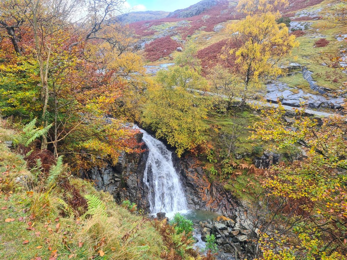
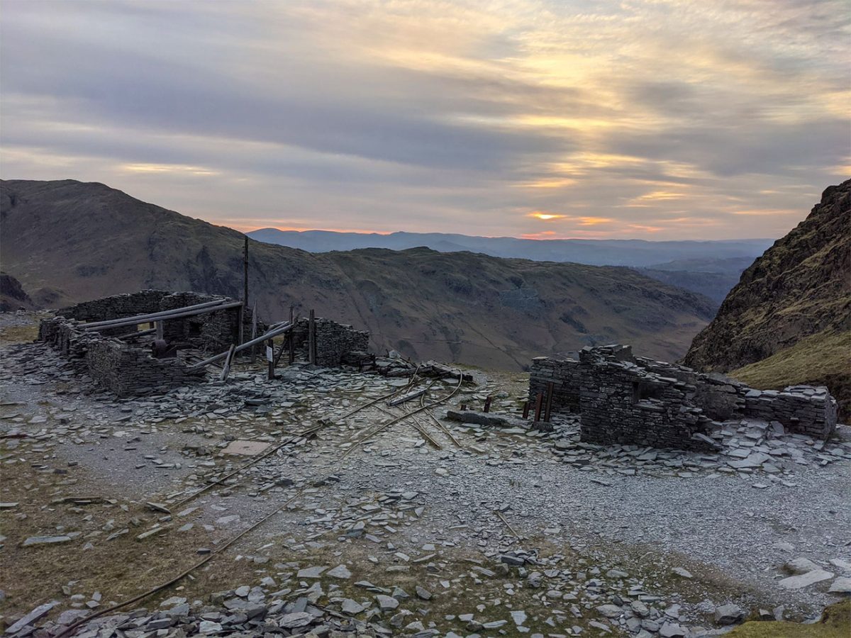
Once at the quarry remains, be careful of the edges and the rocky paths. There are old structures, shafts and lots of unstable ground if you go exploring and move away from the main path, it’s not as exciting but I’d say they are all best viewed without climbing on them or entering spaces where it is probably meant to be closed or is closed.
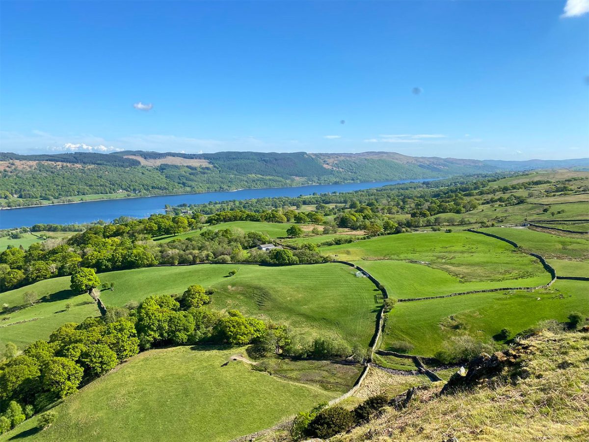
As you gstart to gain more height, the views begin to open across Coniston village and the long ribbon of Coniston Water. On a clear day, the lake looks spectacular below, with wooded valleys and lower hills stretching south towards Morecambe Bay.
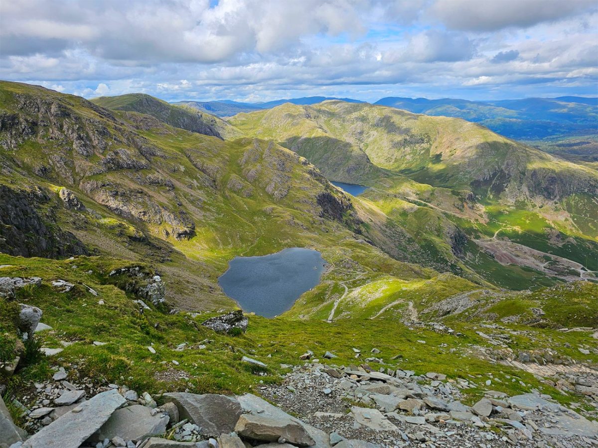
The path continues climbing towards Low Water, a dark mountain tarn beneath the eastern face of the Old Man. The tarn is one of the most attractive locations on the route and is a great place to stop and have a little break before beginning the steepest part of the ascent.
Once you get to Low Water you will sense that it feels a little bit wild, even though its close to one of the Lake District’s most popular mountains. The crags rise sharply above the water, while the remains of the quarry landscape are further down the valley. In still conditions, the surrounding slopes can sometimes be seen reflected on the surface of the tarn.
From Low Water, the route turns towards the final climb to the summit. The path is well made out but steep, rocky and tiring, you gain height quickly on a set of stone steps and quite rough sections. Looking back as you do whilst climbing up gives you huge views over Low Water, Coniston Water and the southern Lake District.
The summit of the Old Man of Coniston stands at 803 metres and you’ll know you’re there as it has a pretty big cairn. From where it is standing above the surrounding valleys creates, you get an extensive panorama, which is great if you wanted to do one of those panoramic shots on your mobile. You can see Coniston Water to the east, and the fells around Wetherlam and Swirl How rise up in front of you to the north.
In clear weather, you can see all the way to Morecambe Bay and the Lancashire coast, across the central Lake District towards the Scafell range, and westwards towards the Irish Sea, which is a crazy feeling as we spend most of our lives at sea level and can only see as far as the nearest hill or mountain. Even crazier, you can sometimes see as far as the Isle of Man when the conditions are really good, but I couldn’t on this occasion.
Although the Old Man is the best-known summit on this route, it is not the end of the climbing. From the summit, continue northwards along the broad ridge towards Brim Fell. This high-level section is generally less steep than the climb from Low Water, giving you more time to enjoy the surrounding mountain scenery.
Brim Fell reaches 796 metres and is sometimes overlooked because of how close it is to the Old Man, but it forms an important part of the route. The ridge provides views towards Levers Water, the Coppermines Valley and the higher Coniston Fells.
From Brim Fell, head down to towards Goat’s Hause, the mountain pass separating the Old Man and Brim Fell from Dow Crag. Goat’s Water lies beautifully below the pass, enclosed in a deep glacial hollow beneath the dark eastern cliffs of Dow Crag.
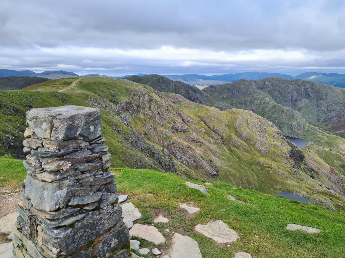
Again we make our way up, and this time towards Goat’s Hause which is another substantial ascent. Follow the rocky path westwards and then south towards the summit of Dow Crag. This section is steep in places, and the ground may be loose or slippery after rain.
Dow Crag stands at 778 metres and is one of the most impressive mountains in the Coniston group. Its eastern face is cut by deep gullies and steep climbing crags that fall towards Goat’s Water. The walking route avoids the cliffs, but the summit and ridge require care, particularly in mist or strong winds.
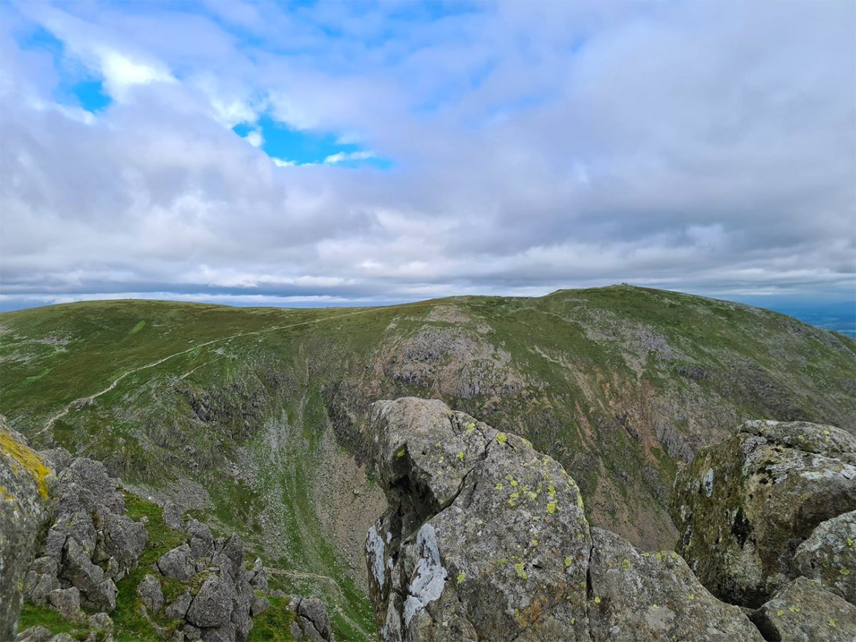
Remain on the safe walking line along the western side or broad crest of the ridge and avoid drifting towards the heads of the gullies overlooking Goat’s Water. These drops are serious and can be difficult to judge in poor visibility.
From Dow Crag, continue south along the ridge. The next section is one of the highlights of the walk, offering an enjoyable high-level traverse with the Duddon Valley and western fells on one side and Goat’s Water, the Old Man and Coniston Water on the other.
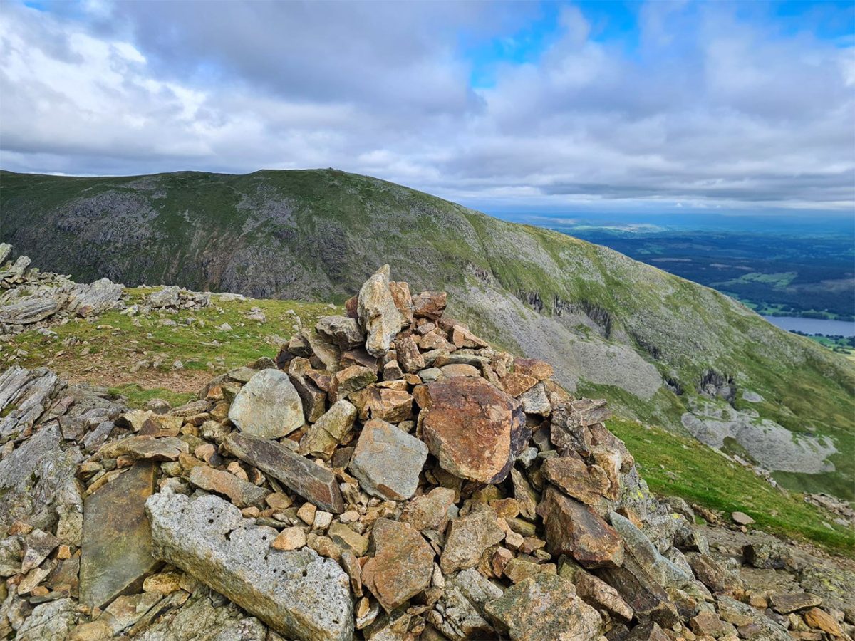
The route passes over Buck Pike, which reaches approximately 744 metres. Although less prominent than Dow Crag, it provides another excellent viewpoint and helps maintain the sense of a continuous mountain journey rather than a simple ascent of one summit.
Continue southwards to Brown Pike at approximately 682 metres, it’s on the path, so you can’t miss it. The ridge gradually broadens as height is lost, but the ground remains rocky and uneven in places. Looking back provides an impressive view of Dow Crag’s broken profile and the route already completed.
From Brown Pike, descend towards the broad pass crossed by Walna Scar Road. This historic track provides a clear route back towards Coniston and offers welcome relief from the rougher summit paths, and by now you are thinking of that bit of cake and a sit down.
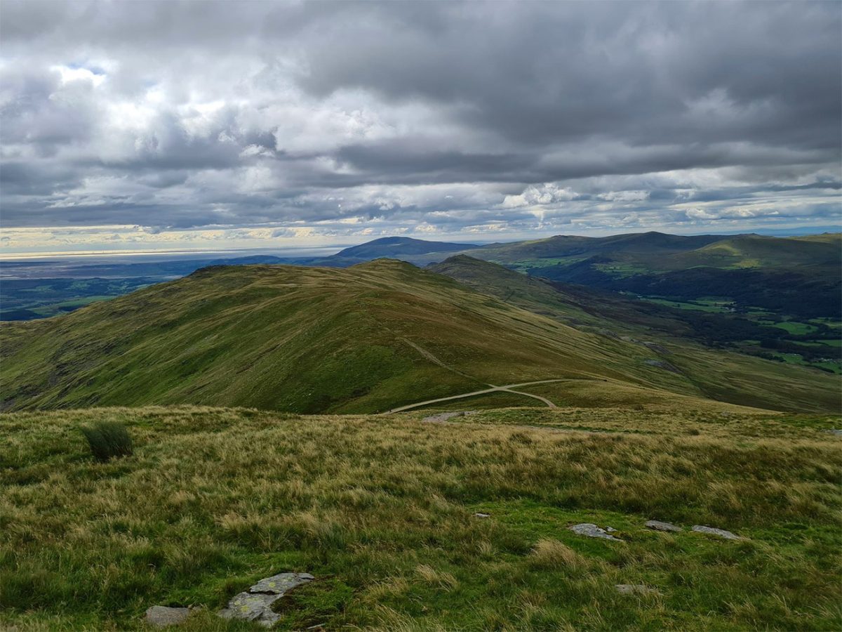
Turn left and follow Walna Scar Road eastwards. The track descends steadily and you cary on getting those really broad views towards Coniston Water and the surrounding countryside. Although navigation is simpler here, the return is still fairly long, and tired legs may make the hard track feel more demanding than expected.
The route eventually returns to Walna Scar Road car park, completing this beautiful circular of approximately seven miles. Despite the manageable distance, the repeated climbing and rough mountain terrain mean that most walkers should allow around five to six hours.
This is an outstanding Lake District mountain walk, bringing together the industrial history of Coniston, the secluded waters of Low Water and Goat’s Water, the famous Old Man summit and the rugged Dow Crag ridge. Autumn can bring rich colour to the lower slopes, while calm spring days may produce beautiful reflections on the tarns. In every season, however, walkers should check a dedicated mountain forecast and carry suitable clothing and navigation equipment.

Walk this route yourself in 3D!
The Video is a 3D walk through of this route; it will give you a unique sense of having walked through the route before you start.
I have created 3D Videos of my adventures and have shared them with the OutdoorActive community as well as my walking community.
Old Man of Coniston Walk FAQs
Is the Old Man of Coniston route signposted?
Can I take my dog on the Old Man of Coniston walk?
Is the Old Man of Coniston suitable for beginners?
How do I reach the Old Man of Coniston by public transport?
Where can I eat after the walk?
Is the walk suitable for children?
What is the best time of year to walk the Old Man of Coniston?
What are the main safety considerations?
Is there mobile phone signal on the route?
Are there toilets on the Old Man of Coniston route?

Water-to-Go Named Best Watter Bottle for Travel. Click https://watertogo.eu/ + 20% Discount Using – ‘WMW20’

AllTrails: Trail Guides & Maps for Hiking, Camping, and Running | AllTrails ‘Plus’ 30% OFF – Read my ‘Full Review‘ for more details.