

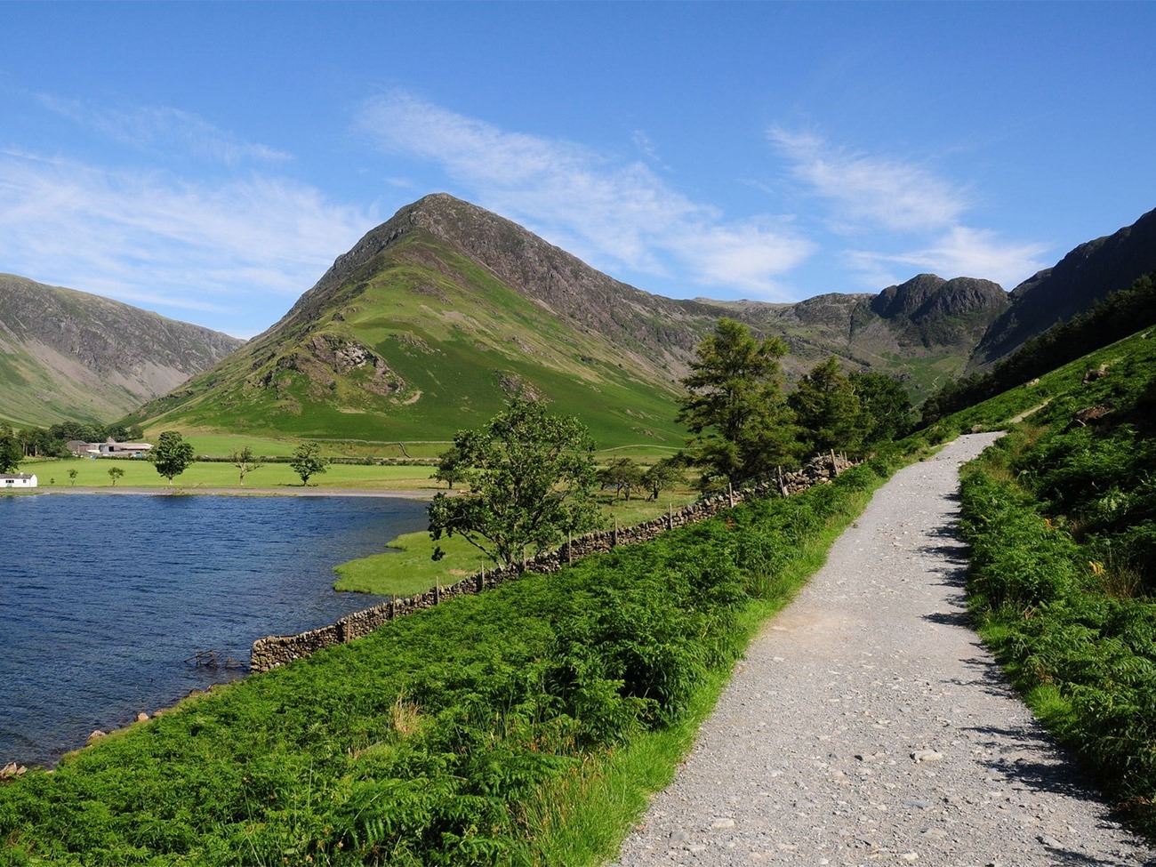
Region: Buttermere, Lake District National Park, Cumbria
Places To Stay: Buttermere village has a few small inns and tea rooms. For more choice, stay in Keswick and drive in (30 mins). Try: Stay in Buttermere | Find places near Keswick or browse more Lake District Accommodation.
Looking for more Lake District walks? Try Catbells, Scafell Pike, Helvellyn, Old Man of Coniston
Buttermere is one of the Lake District’s most beautiful and accessible low-level walks, offering dramatic mountain scenery without the sustained climbing required on the surrounding fells. The seven-kilometre circular route follows the shoreline through woodland, open fields and the narrow valley beneath Fleetwith Pike, Haystacks and the High Stile ridge.
Although the walk remains close to the lake, the landscape feels every bit as impressive as many higher Lake District routes. Steep mountain slopes rise directly from the valley, waterfalls descend through the surrounding woods and, in calm weather, the peaks are reflected almost perfectly across the water.
The route is generally easy to follow and involves only modest ascent, making it a good choice for families, less experienced walkers and anyone looking for a gentler day between more demanding walks. Those ready to climb higher from the same valley could progress to Haystacks, while walkers looking for another accessible Lake District classic may also enjoy the Catbells circular walk above nearby Derwentwater.
Buttermere is particularly rewarding early in the morning or later in the afternoon, when the valley is quieter and softer light reaches the lake. Autumn woodland colour, spring waterfalls and still winter reflections make it a worthwhile walk throughout the year, provided paths and roads are free from snow and ice.
Below are a 3 ideas for trips and tours available in the Lake District, GetYourGuide offer great discounts and availability + Many more!
Looking for Cheap Flights? Try the Skyscanner Flight Checker Below.
This is how I find my ‘Flight Tickets‘, I fly when the price suits my budget. Flying to Heathrow is the best option for London.
Getting There: Directions, GPX and App Link
- Start point: Buttermere National Trust Car Park (postcode: CA13 9XA)
- Google Maps: Buttermere National Trust Car Park
- GPX: Download the GPX file here for use on your GPS device or watch
- You can also view and follow this route on my Outdooractive and Komoot profiles
- Avoid the early start – find accommodation near Buttermere
Hike Profile
- Distance: 4.5 miles / 7 km (circular)
- Duration: 2 – 3 hours
- Highest point: Minimal ascent (about 90m total)
- Difficulty: Easy – mostly level lakeside paths with some rough, narrow, rocky or muddy sections
- Route conditions: Mostly gravel or grassy footpaths, some short rocky sections and stiles

Sim Local can reduce or even eliminate your roaming fees. Click www.simlocal.com/ + 10% Discount Using – ‘WELSHMAN’
Hike Description
The Buttermere circular walk begins at the National Trust car park near Buttermere village, I’ve put the location in the google maps link above. From the parking area, walk into the village, where there are cafés, pubs and public facilities that can be used before beginning the circuit, or afterwards as I prefer for a coffee and some cake, before heading back.
There isn’t a right or wrong way as is teh case with most walks, this route can be completed in either direction, but for this description we followed the lake through Buttermere village and around the shoreline anti-clockwise, keeping the water close for much of the walk.
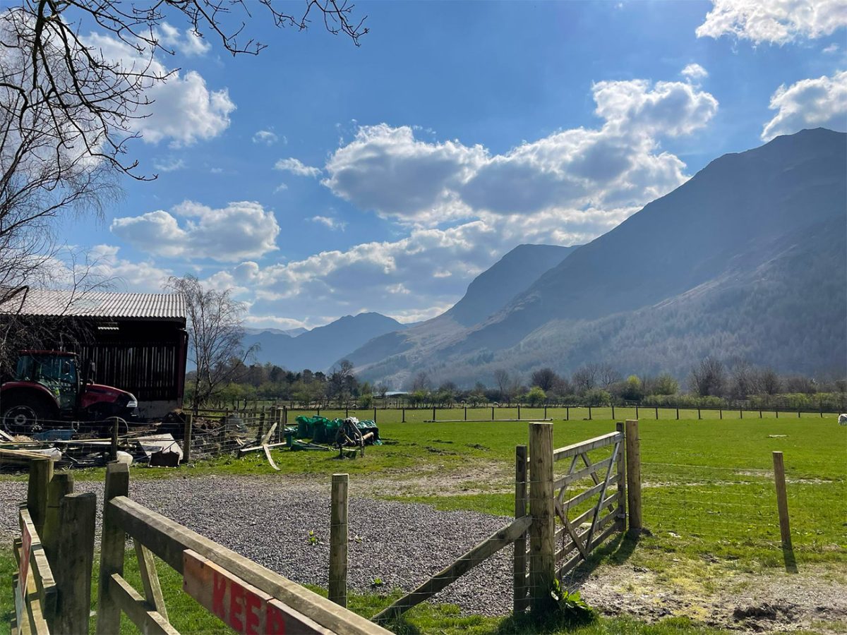
Leave the village on the established lakeside path and continue towards the western shore, which is on the right, and pretty much soon after the walk enters Burtness Wood, a peaceful stretch of mixed woodland beneath the steep slopes of the High Stile range.
This early section is why so many people believe Buttermere is one of the finest low-level walks in the Lake District. As you make your way the woodland occasionally opens to reveal views across the water, with Fleetwith Pike possibly the star of the show rising dramatically at the far end of the valley, we’re on our way there.
The path is generally clear, although exposed tree roots, stones and muddy patches can make parts of the woodland uneven. After prolonged rain, waterproof walking shoes are more suitable than ordinary trainers.
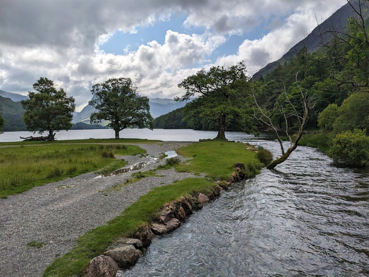
Continue through Burtness Wood, crossing small streams that come from the surrounding fell, there is something about flowing water that makes a person stop, I think it’s the sound, I personally love it. Waterfalls and cascades are better after wet weather or generally through the winter, which means the water runs quickly down the mountainsides into the lake.
You’ll hear Sourmilk Gill before you probably see it. After heavy rain it’s well worth stopping for a minute, although thankfully you don’t have to climb alongside it unless you’re heading up towards Bleaberry Tarn. That is a separate path and a different walk towards Bleaberry Tarn, and is a lot steeper and can become extremely slippery when wet.
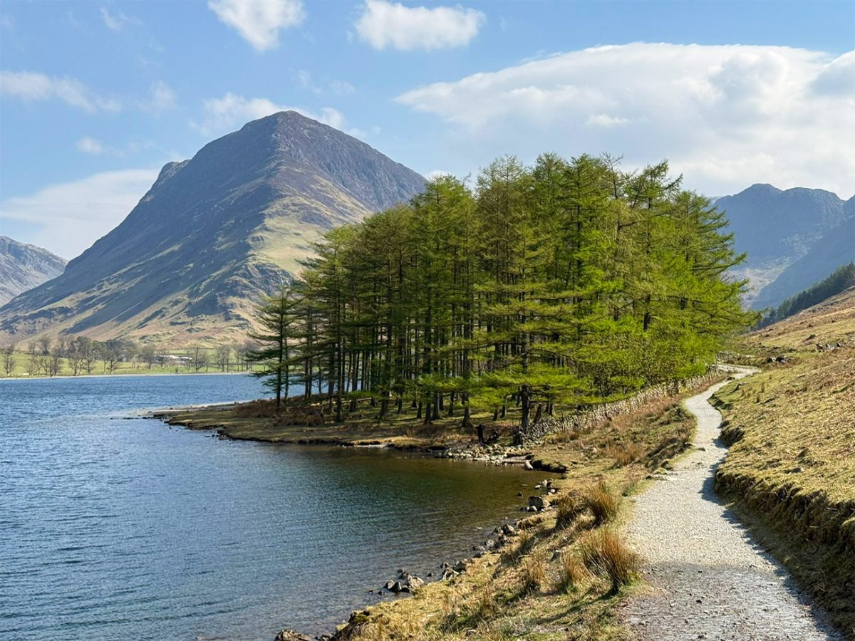
As the walk continues, the trees thin and wider views begin to open across the lake. This walk reminds me of one in the Elan Valley in Wales, I have it on the website if you would like to come back to it later. Something I do a lot when walking, is stop to take things in and I like to look back at where we have come from, when you look back on this walk towards the village it reveals the High Stile ridge rising above the water, and the pointed profile of Fleetwith Pike which dominates the opposite end.
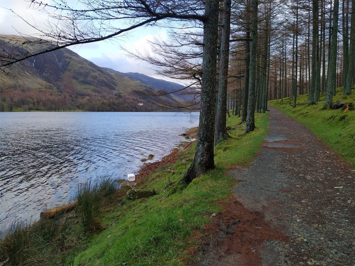
The route crosses several becks and footbridges before reaching the southern end of Buttermere. This is one of the most dramatic parts of the circuit, where the mountains appear to close around the head of the valley.
Haystacks rises beyond the lake towards the south-east, while Fleetwith Pike forms a steep wall above the Honister Pass road. Although both mountains look close, climbing them requires a very different level of fitness, navigation and mountain experience from the gentle lakeside circuit.
Continue around the head of the lake, following signs and established paths through fields and enclosed farmland. Livestock may be present, so dogs should be kept under close control and placed on a lead where necessary.
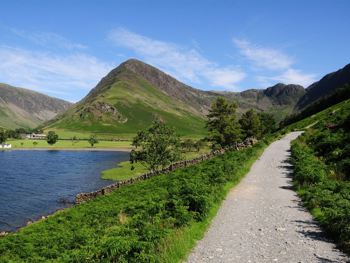
Depending on the precise line followed, the route passes close to Gatesgarth Farm and the footpaths leading towards Scarth Gap, Haystacks and Honister Pass. Remain on the lakeside circuit rather than following the climbing paths into the mountains.
The path now begins its return along the opposite side of Buttermere. This section provides some of the walks best views back along the entire length of the lake towards the village and the High Stile ridge.
This was probably my favourite part of the walk. Mountains that appeared directly ahead during the outward leg now appear as a dramatic backdrop across the water, and from this side you see that the woodland and rocky shoreline you walked earlier now frames the view.
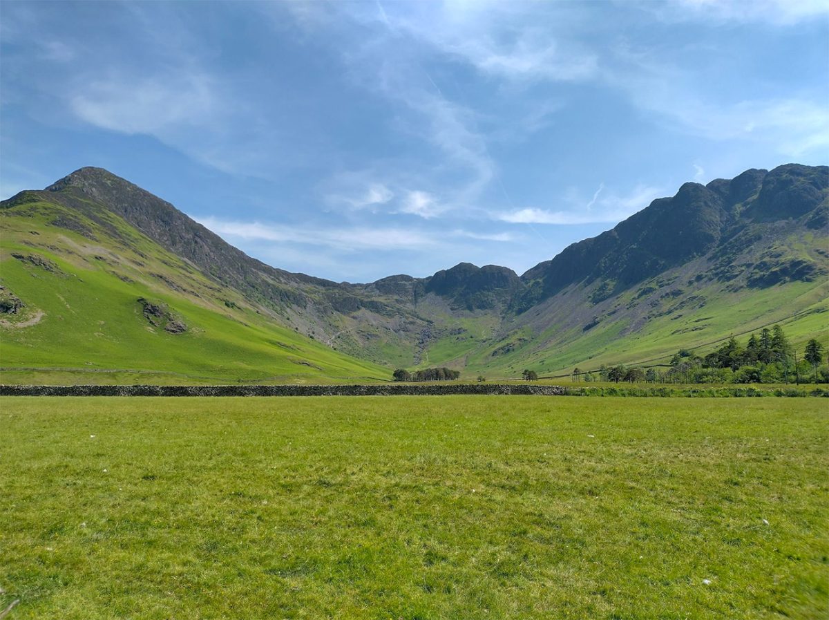
Continue along the shoreline, passing through further patches of woodland and open ground. The route remains mostly level, although there are short rocky, narrow and uneven stretches that require a little more care.
One of the best-known features that I thought I took a picture of, but it didn’t’ appear on my camera is the short pedestrian tunnel that cuts through the rock beside the lake. I was disappointed I couldn’t add the pic to the page, but nonetheless it was something different and will probably be popular with children, so that would be something special and hopefully encourage young children to go on more exciting walks.
The tunnel is short, but the surface inside can be damp or slippery. A phone torch may be useful, especially on a dull day, although daylight is normally visible from the opposite end.
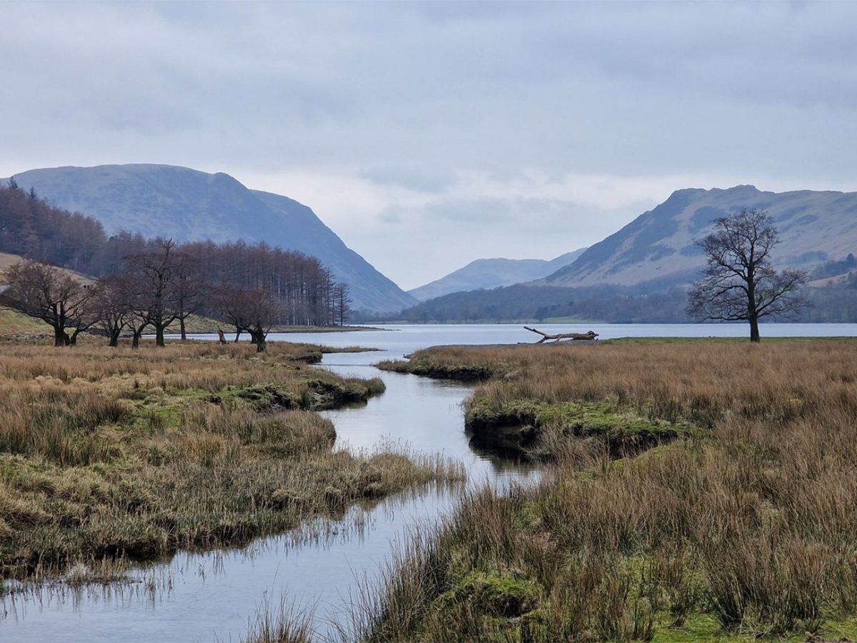
Beyond the tunnel, continue along the lakeside path towards the northern end of Buttermere. Openings between the trees provide excellent views towards Fleetwith Pike, Haystacks and the surrounding crags.
On calm days, the lake may reflect the mountains and woodland with remarkable clarity. I would imagine early mornings will probably provide the best chance of still water, softer light and fewer people on the path, just like the one I mentioned earlier in the Elan Valley.
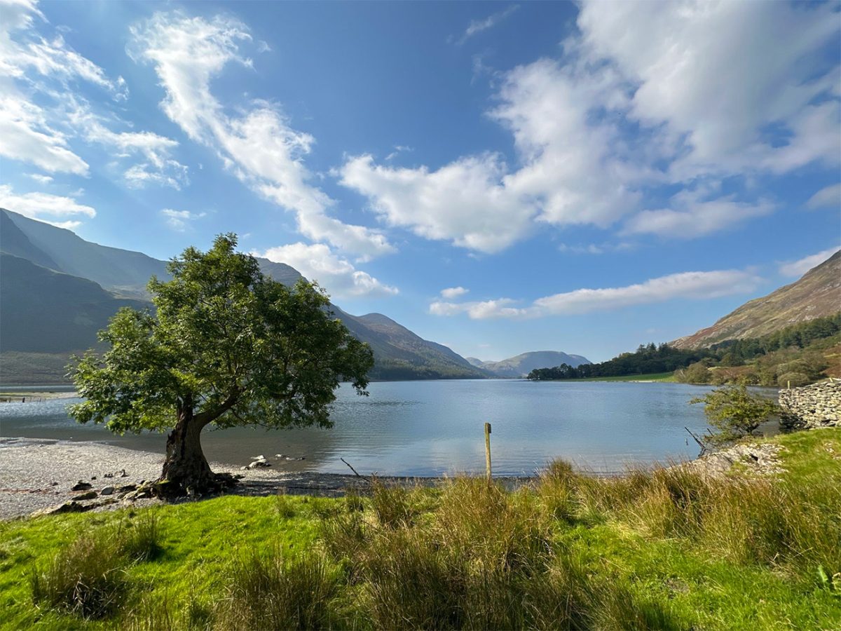
As the route approaches the village, the path passes through fields and woodland before reconnecting with the roads and tracks near Buttermere. Follow the signs back towards the village and National Trust car park.
The full circuit is approximately 4.5 miles or seven kilometres. Fast walkers may complete it in around two hours, but allowing two and a half to three hours creates time for photographs, short rests and enjoying the viewpoints. The National Park Authority gives approximately three hours for its wider easy-access route information, so the current 1.5-hour lower estimate on the page may feel rushed for many visitors.
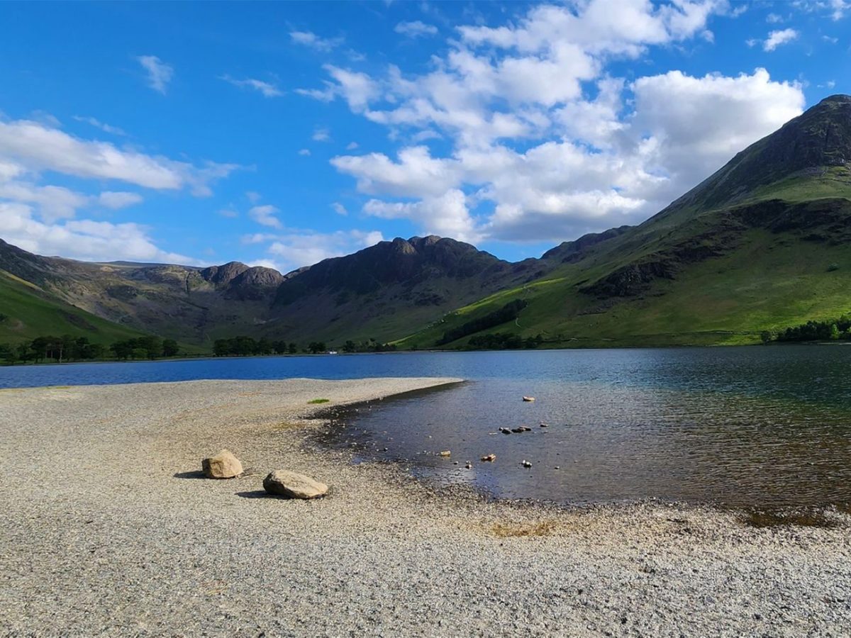
There are public toilets, cafés, pubs and refreshment options around Buttermere village, but facilities are limited elsewhere on the circuit. Carry water and a snack rather than depending on finding refreshments halfway around.
Buttermere is an excellent option for a gentler day in the Lake District. It delivers the scale and drama of a mountain landscape without requiring a summit ascent, making it a natural contrast to routes such as the Old Man of Coniston or Helvellyn via Striding Edge.
The combination of woodland, waterfalls, traditional farms, reflections and towering mountains makes this one of the most rewarding short walks in the national park. Whether visited during autumn colour, spring rainfall or a still summer morning, the views around Buttermere rarely disappoint, we loved it.

Walk this route yourself in 3D!
The Video is a 3D walk through of this route; it will give you a unique sense of having walked through the route before you start.
I have created 3D Videos of my adventures and have shared them with the OutdoorActive community as well as my walking community.
Buttermere Circular Walk, Lake District Lake Route – 3D Video
Buttermere Walk FAQs
Is the Buttermere circular walk flat?
Is the Buttermere walk suitable for children?
Are dogs allowed around Buttermere?
How long does the Buttermere circular walk take?
Are there toilets at Buttermere?
Does the Buttermere walk get busy?
Where can I eat and drink in Buttermere?
What footwear is best for the Buttermere circuit?
Is there mobile phone signal around Buttermere?
Can I reach Buttermere by public transport?

Water-to-Go Named Best Watter Bottle for Travel. Click www.watertogo.eu + 20% Discount Using – ‘WMW20’

AllTrails: Trail Guides & Maps for Hiking, Camping, and Running | AllTrails ‘Plus’ 30% OFF – Read my ‘Full Review‘ for more details.