

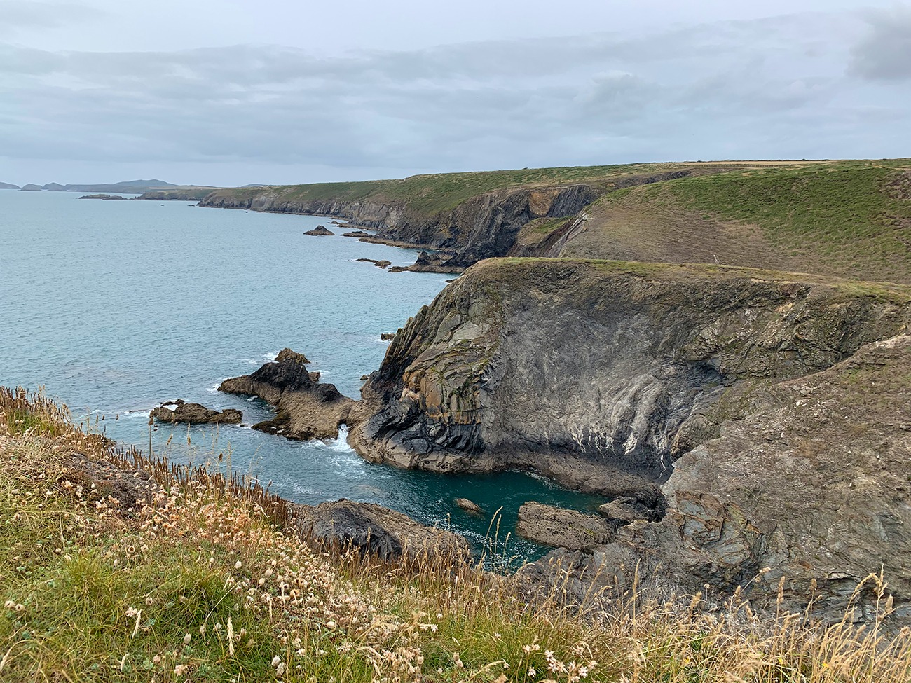
Region: Solva to St Davids Coastal Walk, Pembrokeshire, Wales
Places To Stay: St Davids and the surrounding coastal villages offer a range of accommodation from cosy B&Bs to boutique hotels. Try: Stay in St Davids or browse Pembrokeshire Coast Accommodation. I stayed in Hotel Plas Hyfryd in Narberth, and it was perfect for us. It was centrally located, had a great town with everything you would need, and served a great breakfast to set you up for the day.
The Solva to St Davids Coastal Walk is a wonderfully varied 11km journey along one of my favourite sections of the Pembrokeshire Coast Path, beginning beside Solva’s sheltered harbour and finishing beneath the towers of St Davids Cathedral.
Although the distance is fairly manageable, this is a proper coastal walk rather than an easy level stroll. The trail repeatedly rises and falls as it crosses rocky headlands, narrow valleys and small coves, with a few steeper climbs that begin to add up as the day goes on. In return, there are long views across St Brides Bay, colourful folded cliffs, offshore rocks and stretches of coast that feel wonderfully remote.
Solva makes a brilliant place to begin. Its harbour sits at the end of a long, narrow inlet, protected by steep hillsides that almost hide the sea from the village above. The harbour was once an important link with the outside world, and reminders of its working past can still be seen around the quay and old lime kilns.
Once above the harbour, the route settles onto the Pembrokeshire Coast Path and heads west through open coastal countryside. This is part of the 186-mile National Trail between St Dogmaels and Amroth, and it regularly reminds you that coastal walking is rarely flat: every headland seems to be followed by another dip and climb.
One of the highlights later in the walk is Porth Clais, a small and incredibly peaceful harbour built to serve St Davids. Timber, grain, limestone and coal were once traded here, while the well-preserved lime kilns on either side of the harbour remain visible today.
From Porth Clais, the route eventually leaves the coast and turns inland towards St Davids. Finishing at the cathedral gives the walk a real sense of arrival. St Davids has been a place of pilgrimage for centuries, and in 1123 Pope Callixtus II declared that two pilgrimages to the cathedral were equal to one journey to Rome.
Allow around three to four hours for the walk itself, but I would give yourself longer. There are plenty of places where you will want to stop for photographs, Porth Clais is worth exploring, and it would be a shame to reach St Davids without leaving time for the cathedral and the ruins of the Bishop’s Palace.
This is a linear walk, so I found it easiest to park in St Davids and take the T11 bus to Solva before walking back. Bus routes and seasonal timetables can change, so check the current journey before travelling rather than relying on a particular service number.
Looking for more Pembrokeshire Coast walks? Try Bosherton Lily Ponds Circular or Manorbier Castle Coastal Circular.
Below are 3 ideas for trips and tours in Pembrokeshire. GetYourGuide offers great discounts and availability + Many more!
Looking for Cheap Flights? Try the Skyscanner Flight Checker Below.
Getting There: Directions, GPX and App Link
- Start point: St Davids city centre – park here and take the T11 Shuttle to Solva
- Google Maps: St Davids Car Park
- Bus link: The T11 Shuttle runs between St Davids and Solva (seasonal timetable)
- GPX: Download the GPX file here for use on your GPS device or watch
- You can also follow this route on my Outdooractive and Komoot profiles
- Avoid the early start – find accommodation near St Davids
Hike Profile
- Distance: approx 11 km / 7 miles (linear)
- Duration: 3–4 hours
- Highest point: modest coastal cliff heights with big views
- Difficulty: Moderate – rolling cliff-top terrain with some steep ascents/descents
- Route conditions: well-maintained coastal path, but can be muddy after rain and exposed in strong winds

Sim Local can reduce or even eliminate your roaming fees. Click www.simlocal.com/ + 10% Discount Using – ‘WELSHMAN’
Hike Description
I began the day in St Davids, where I left the car before catching a bus to Solva. For a linear route like this, getting the bus at the beginning makes far more sense to me than leaving it until the end. Once the walk is finished, you can take your time around the cathedral, find somewhere to eat and return to the car without worrying about reaching a bus stop for a particular departure.
The coastal services around Pembrokeshire are useful, but routes and timetables change between summer and winter. The live timetable should always be checked before travelling, particularly on Sundays and outside the main visitor season.
After arriving in Solva, I made my way down towards the harbour.
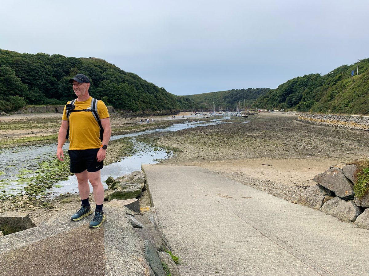
Solva is divided between the upper village beside the main road and Lower Solva around the inlet. The walk begins from the lower part, where the cottages, boats and steep green hillsides create one of the most distinctive harbour scenes in Pembrokeshire.
The inlet is long and narrow, making it feel almost enclosed when the tide is in. At lower water, boats settle onto the exposed harbour bed and the whole place takes on a completely different appearance.
Before roads improved access to this part of Pembrokeshire, the harbour was the village’s main connection with the outside world. Goods were brought in and out by sea, with warehouses and lime kilns developing around the sheltered water.
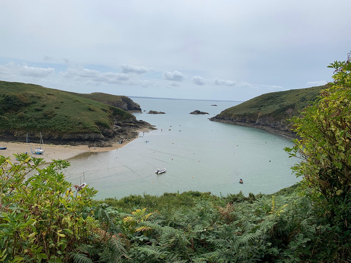
There are cafés, pubs and shops in Solva, so this is the best place to pick up anything needed for the walk. Once you are on the Coast Path, dependable facilities are limited until Porth Clais and even there the kiosk is seasonal.
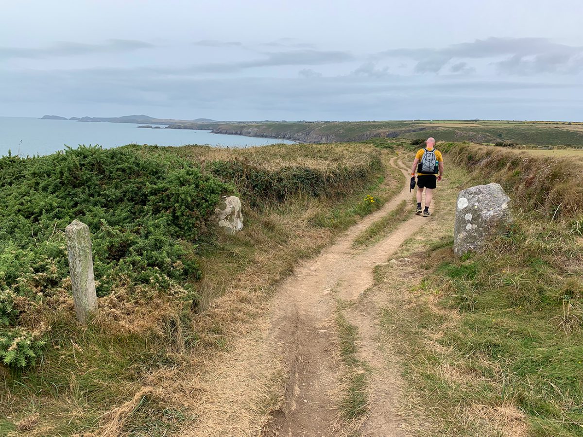
From the harbour, I followed the signs for the Pembrokeshire Coast Path, initially climbing above the eastern side of the inlet.
The ascent gives an increasingly good view back over the harbour. This is one of those places where it is worth stopping after only a few minutes because the view behind you changes quickly as height is gained.
The route passes around the Gribin headland at the mouth of the harbour. The headland contains the remains of an Iron Age fort, another reminder that people were using and defending this coastline long before Solva developed into the village seen today.
Once clear of the harbour, the landscape opens properly.
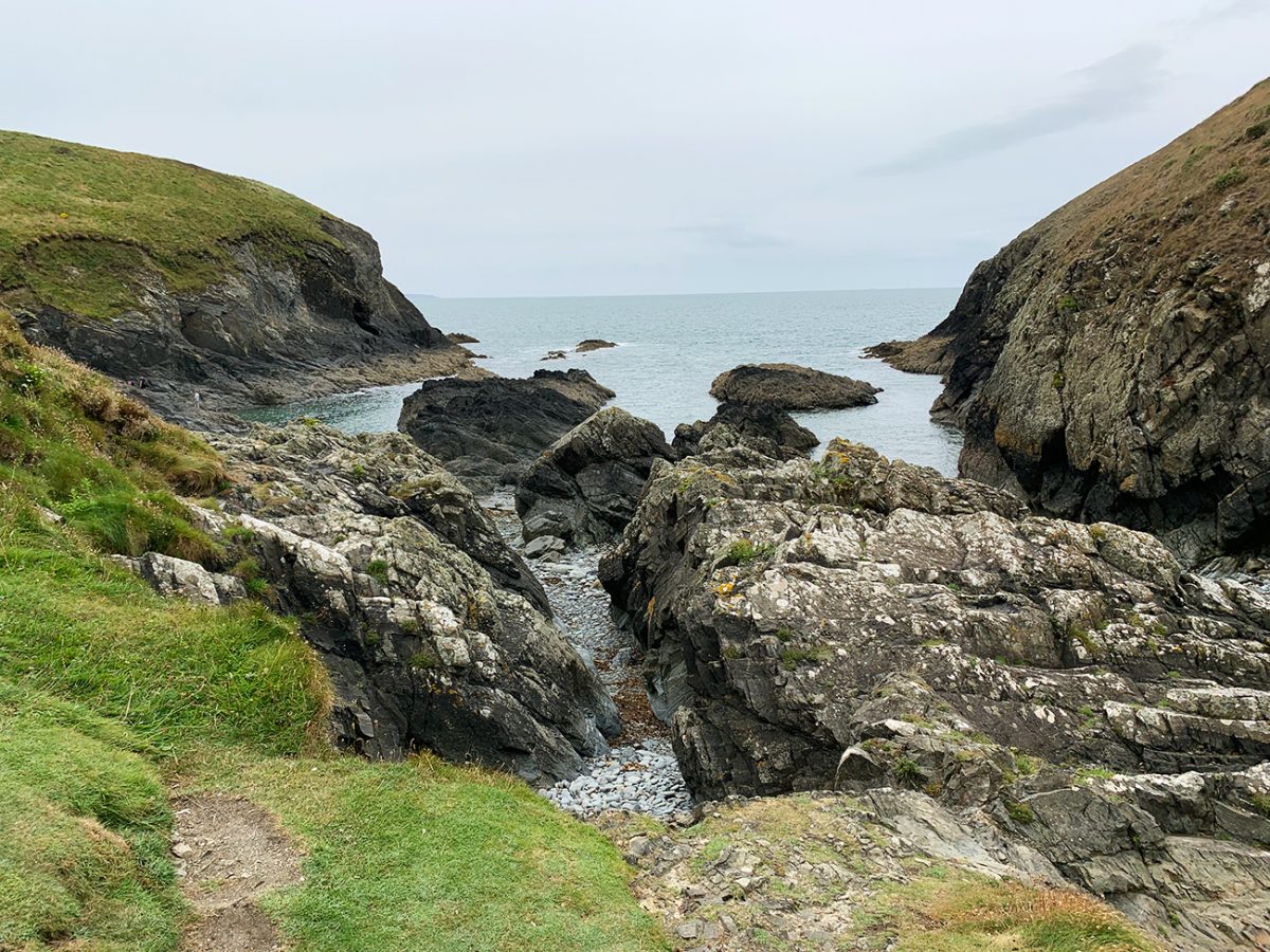
St Brides Bay stretches away to the south-east, while the coast ahead becomes a succession of rocky headlands, deep-cut inlets and steep-sided valleys. The path is generally easy to follow, with the acorn symbols and Coast Path waymarkers appearing regularly.
There are no mountain-sized climbs, but the path rarely remains level for long. It drops into small valleys before climbing back onto the next headland, and the cumulative ascent makes the route feel more substantial than an ordinary seven-mile walk.
The cliffs around Solva are particularly striking. Layers of rock have been folded and tilted by enormous geological forces, creating angled bands that run through the headlands and coves. In places, the rocks appear almost crumpled, and the changing colours become especially noticeable when the sun reaches the cliff faces.
I followed the path west, with the sea generally on my left and farmland stretching inland to my right.
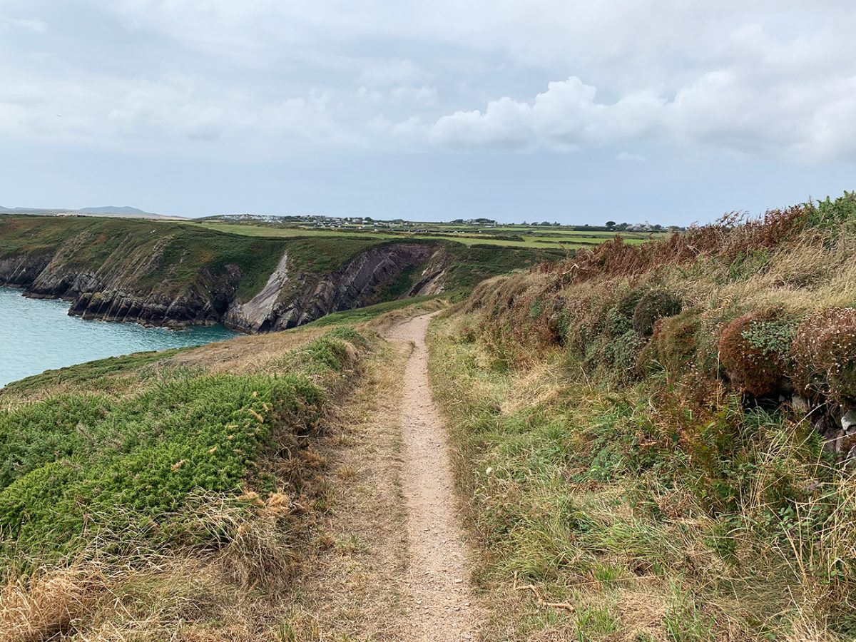
The route crosses working countryside, so there are gates, occasional livestock and sections where the path can become muddy. Dogs need to be kept under close control and placed on a lead whenever sheep or cattle are nearby. This is also an exposed coast.
Even when Solva feels sheltered, conditions can be much windier once you reach the open headlands. A waterproof and an extra layer are worth carrying regardless of how pleasant it feels at the start.
Sea thrift grows in tight pink cushions, while campion, gorse and other coastal plants appear along the trail. Fulmars often glide around the cliffs, barely moving their wings as they use the air currents rising from below. Kittiwakes and other seabirds may also be seen, although sightings will naturally depend on the season and conditions.
The path continues around a series of small coves and rocky inlets.
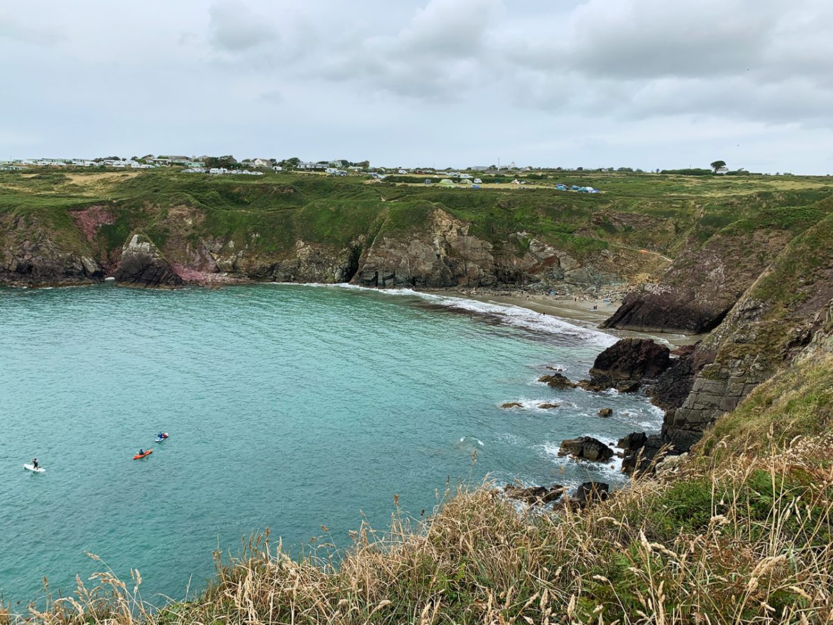
There are places where the path runs reasonably close to the edge. The Pembrokeshire Coast Path is maintained and well used, but it remains rugged natural terrain, with steep drops, uneven ground and sections affected by erosion.
I kept away from unsupported cliff edges and followed any temporary diversions on the ground. A downloaded GPX route is useful, but current Coast Path signs should take priority if erosion has caused the trail to be moved.
This middle section was probably my favourite part of the route. There are no major settlements or famous landmarks for a while, just open sea, green fields and a path that continually reveals another cove or headland.
The repeated descents and climbs can become tiring, especially if the ground is wet. Stone steps, exposed rock and worn grassy slopes may all become slippery, so walking shoes or boots with a decent grip are a much better option than ordinary flat-soled trainers.
Eventually, the route begins to approach Porth Clais. The harbour is hidden within another narrow inlet and does not fully reveal itself until you are quite close. After a long stretch of open cliffs, dropping towards the water feels like arriving at a small refuge in the landscape.
Porth Clais was built in the 12th century to serve St Davids and developed into a working port for the surrounding communities. Timber, grain, coal and limestone were among the goods brought through the harbour.
There is a small seasonal kiosk beside the National Trust car park, usually serving drinks, cakes, ice cream and light food, but I would not rely on it being open without checking first.
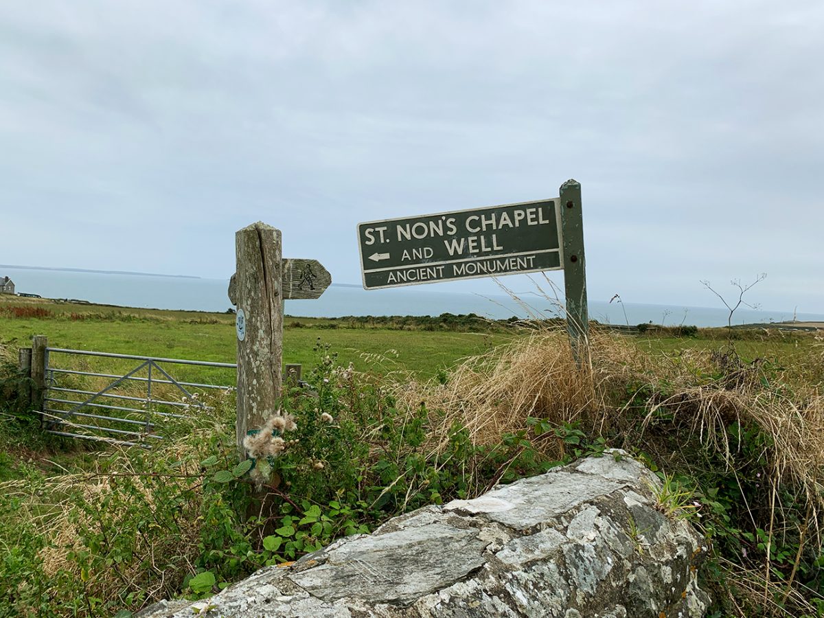
The main Coast Path continues west towards St Non’s and St Justinian’s, but this route leaves the coast and heads inland towards St Davids. The route climbs gently through farmland, following field paths, tracks and quieter lanes. After spending so long beside the cliffs, the inland section feels much more sheltered.
The sea gradually disappears behind you and the landscape becomes softer, with hedgerows, pasture and scattered farms replacing the rocky headlands.
As St Davids gets closer, the route joins lanes and paths leading towards the cathedral quarter.
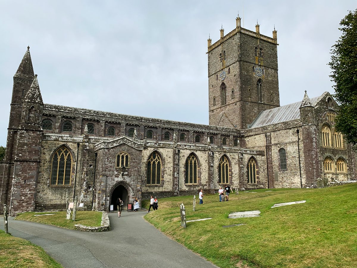
One of the most interesting things about arriving in St Davids is that the cathedral is not sitting prominently on top of a hill. It lies in a hollow below the city centre and remains partly hidden until you approach the edge of the Cathedral Close.
The tower rises above the surrounding buildings and greenery, with the ruined Bishop’s Palace standing nearby on the opposite side of the River Alun.
St Davids is recognised as the smallest city in the United Kingdom by population, but its religious importance is far greater than its size suggests. The settlement grew around the monastery traditionally founded by St David, or Dewi Sant, during the sixth century. The present cathedral was begun in the 12th century on the site of earlier religious buildings.
For medieval pilgrims, reaching St Davids was an important spiritual journey. In 1123, Pope Callixtus II declared that two pilgrimages to St Davids were equivalent to one pilgrimage to Rome.
The cathedral remains free to enter, although donations support the cost of maintaining the building and grounds. Services and events may affect visitor access, so check the current opening arrangements before planning a detailed visit.
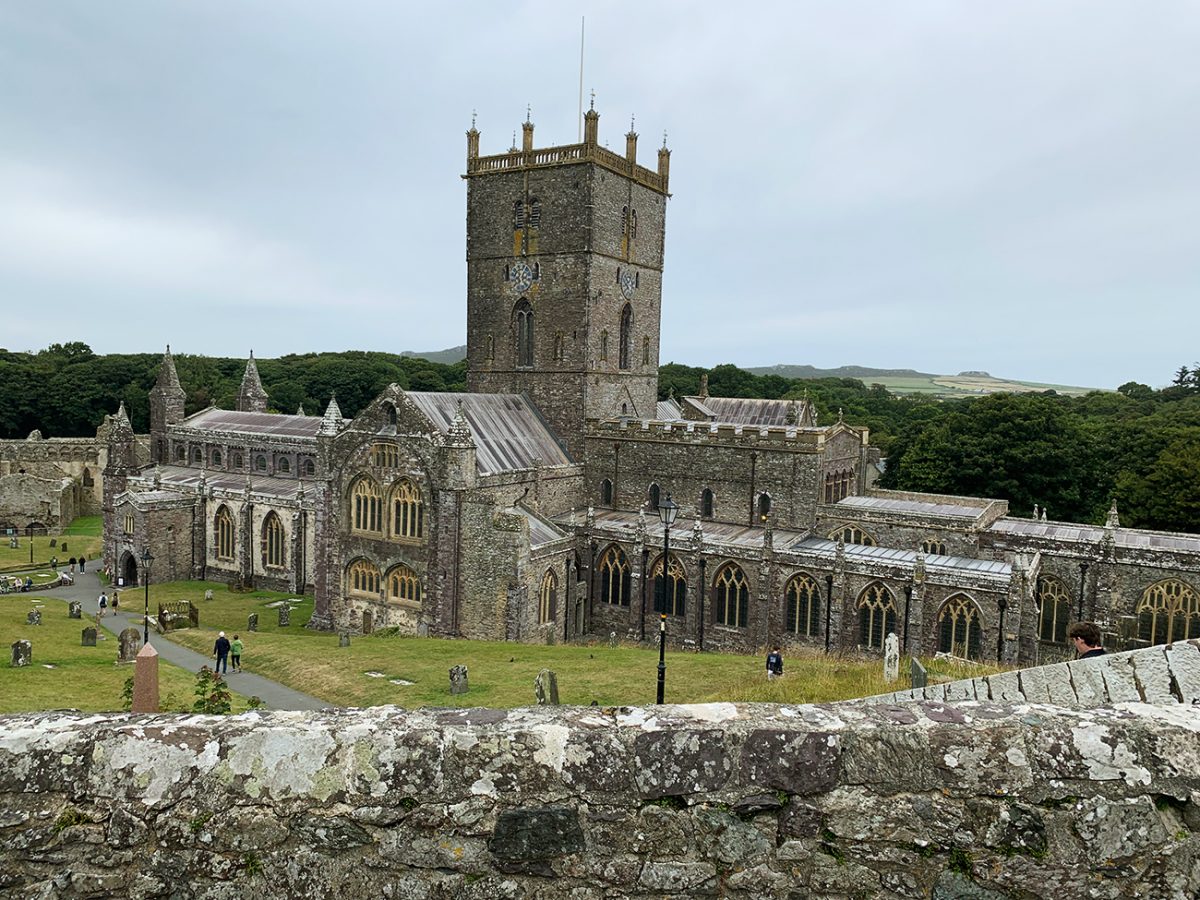
The sloping floor, decorated wooden ceiling, chapels, choir, tombs and restored shrine of St David all contribute to the atmosphere. Even without a religious interest, it is a remarkable building to explore after arriving on foot.
Beside the cathedral are the ruins of St Davids Bishop’s Palace.
The remains include the great hall, decorative arcading and sections of the former episcopal complex. The palace requires separate admission when open, but much of its scale can be appreciated from the surrounding paths.
After visiting the cathedral quarter, I climbed back towards the centre of St Davids.
The city is small enough to explore without adding much distance, but there are plenty of cafés, pubs, galleries and independent shops. It is an ideal place for food after the walk, particularly because there is no longer any pressure to catch a return bus.

Walk this route yourself in 3D!
The video is a 3D walkthrough of this route; it’ll give you a great idea of what to expect before you set foot on the mountain.
I’ve created 3D videos of my walks and shared them with the Outdooractive and Welsh Man Walking communities.
Solva to St Davids, 11 km Wales Coast Path Walk – 3D Walkthrough
Solva to St Davids Coastal Walk FAQs
Is the Solva to St Davids walk circular?
Which bus runs between St Davids and Solva?
How long does the walk take?
How difficult is the route?
Is the route easy to follow?
Are there cafés and toilets along the route?
Can I bring my dog?
Is the walk suitable for children?
Is St Davids Cathedral free to enter?
What should I bring?

Water-to-Go Named Best Watter Bottle for Travel. Click www.watertogo.eu + 20% Discount Using – ‘WMW20’

AllTrails: Trail Guides & Maps for Hiking, Camping, and Running | AllTrails ‘Plus’ 30% OFF – Read my ‘Full Review‘ for more details.