
Region: Bosherston, Stackpole and Barafundle Bay, Pembrokeshire Coast National Park, Wales
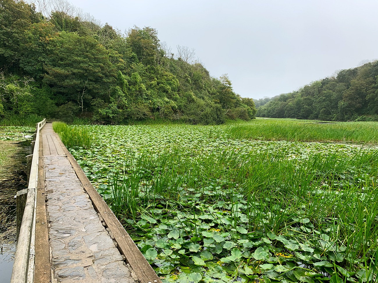
This 6.5-mile clockwise circular walk starts beside the Bosherston Lily Ponds before linking the Eight-Arch Bridge, Stackpole Quay, Barafundle Bay, Stackpole Head, Saddle Point and Broad Haven South. It is one of the best all-round coastal walks I have completed in Pembrokeshire because the scenery changes constantly: calm lakes, woodland, pasture, a small harbour, golden beaches and exposed cliff-top paths all appear in one route.
I recorded 253 feet of ascent and a moving time of 3 hours 35 minutes. I would allow around 4½ hours so you can enjoy the beaches, views and a coffee at Stackpole Quay without rushing. The distance and exposed coast make this more substantial than the short Lily Ponds visit, but the walking is manageable for beginners, children and dogs that are comfortable covering the mileage.
| Distance | 6.5 miles / 10.5 km |
|---|---|
| Ascent | 253 feet / 77 metres |
| Moving time | 3 hours 35 minutes |
| Time to allow | About 4½ hours |
| Route type | Clockwise circular |
| Difficulty | Moderate, mainly because of the distance, exposed cliffs and beach steps |
| Start and finish | Bosherston Lily Ponds National Trust car park |
| Main highlights | Lily Ponds, Eight-Arch Bridge, Stackpole Quay, Barafundle Bay, Stackpole Head and Broad Haven South |
Places to stay: Bosherston and the Stackpole area put you closest to the route, while Pembroke and Tenby offer a wider choice of places to eat and stay. Browse Pembrokeshire accommodation. I stayed at Hotel Plas Hyfryd in Narberth, which gave us a useful base and a good breakfast.
More nearby walks: See my Pembrokeshire walking guides, or try my Manorbier Castle coastal circular walk.
Map, parking and GPX
- Start and finish: Bosherston Lily Ponds National Trust car park, Bosherston, Pembrokeshire, SA71 5DR.
- Parking: Pay-and-display; National Trust members and Blue Badge holders can park free. Check current arrangements before travelling.
- Direction: Clockwise.
- GPX: Download my exact 6.5-mile GPX route.
- Outdooractive: View the route on my Outdooractive profile.
Important: The path between the Eight-Arch Bridge and Stackpole Quay includes a permissive section that can occasionally close. Check local notices and current National Trust information before setting off, and keep the GPX available offline.
Bosherston to Barafundle Bay route
| Stage | Route | What to expect |
|---|---|---|
| 1 | Bosherston → Lily Ponds → Eight-Arch Bridge | Easy lakeside paths and the gentlest part of the walk. |
| 2 | Eight-Arch Bridge → Stackpole Quay | Woodland, fields and a useful coffee and toilet stop. |
| 3 | Stackpole Quay → Barafundle Bay | Coast Path, cliff views, steps down to the beach and a climb out on the far side. |
| 4 | Barafundle → Stackpole Head → Saddle Point | The most exposed section, with unguarded cliff edges and wide coastal views. |
| 5 | Saddle Point → Broad Haven South | Continue around the coast towards the broad sandy bay. |
| 6 | Broad Haven South → Lily Ponds → Bosherston | Turn inland and follow the water back to the car park. |
Bosherston Lily Ponds and the Eight-Arch Bridge
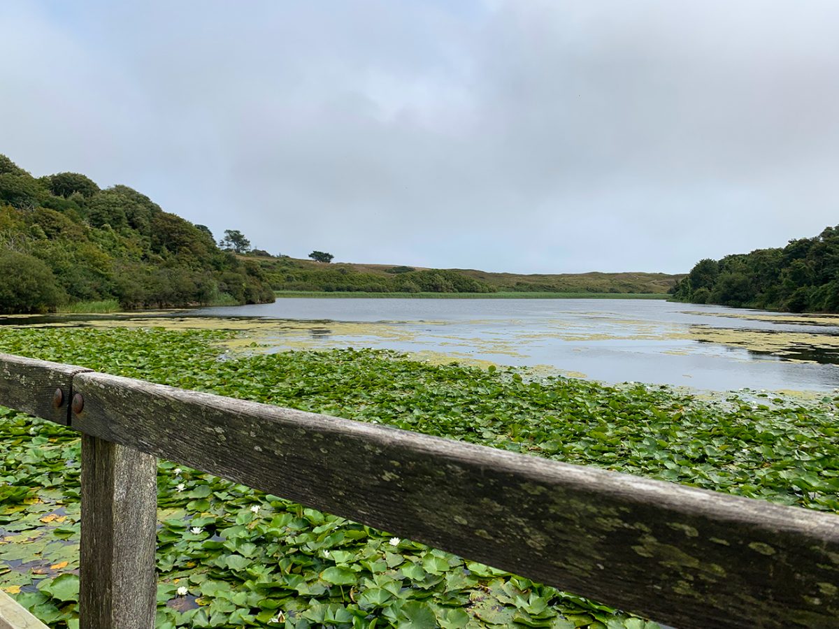
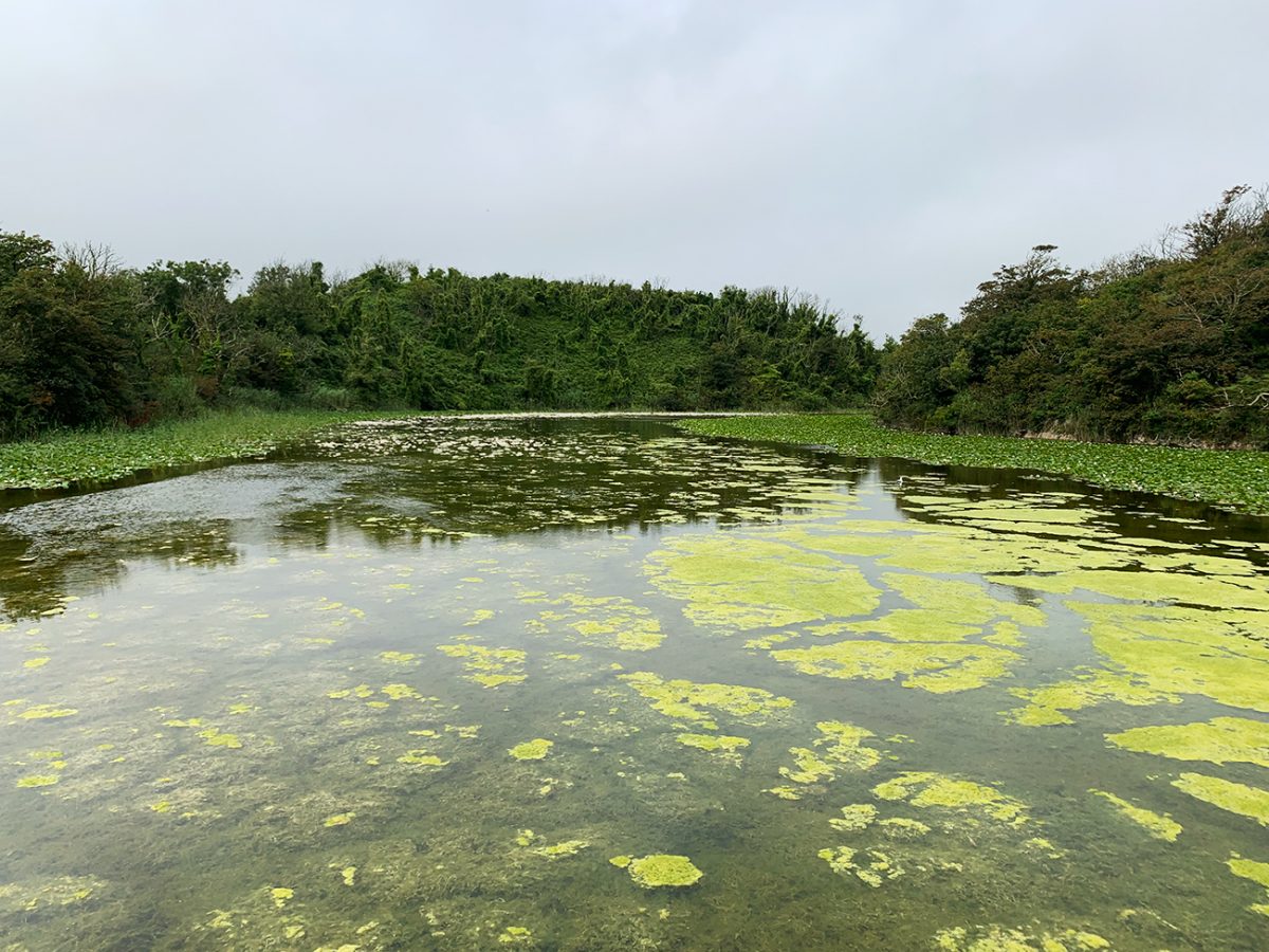
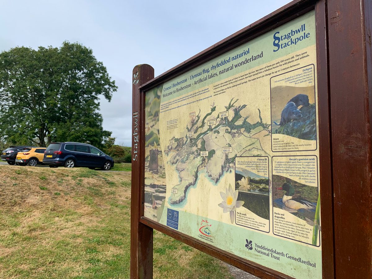
From the National Trust car park, I headed into the Bosherston Lily Ponds and followed the route clockwise. This is a beautifully calm beginning, with easy paths beside the water. The ponds are especially impressive when the lilies are flowering, but the lakes and woodland make this a worthwhile visit throughout the year.
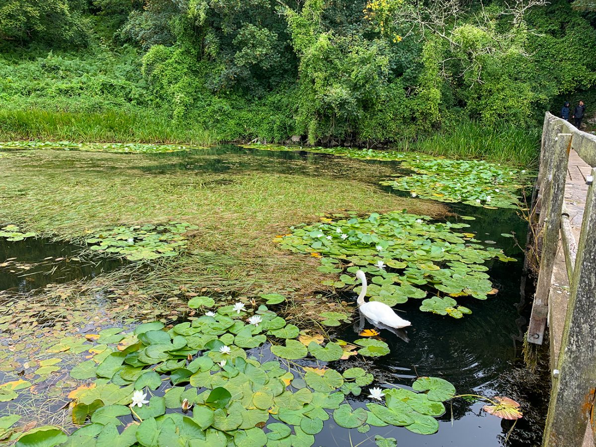
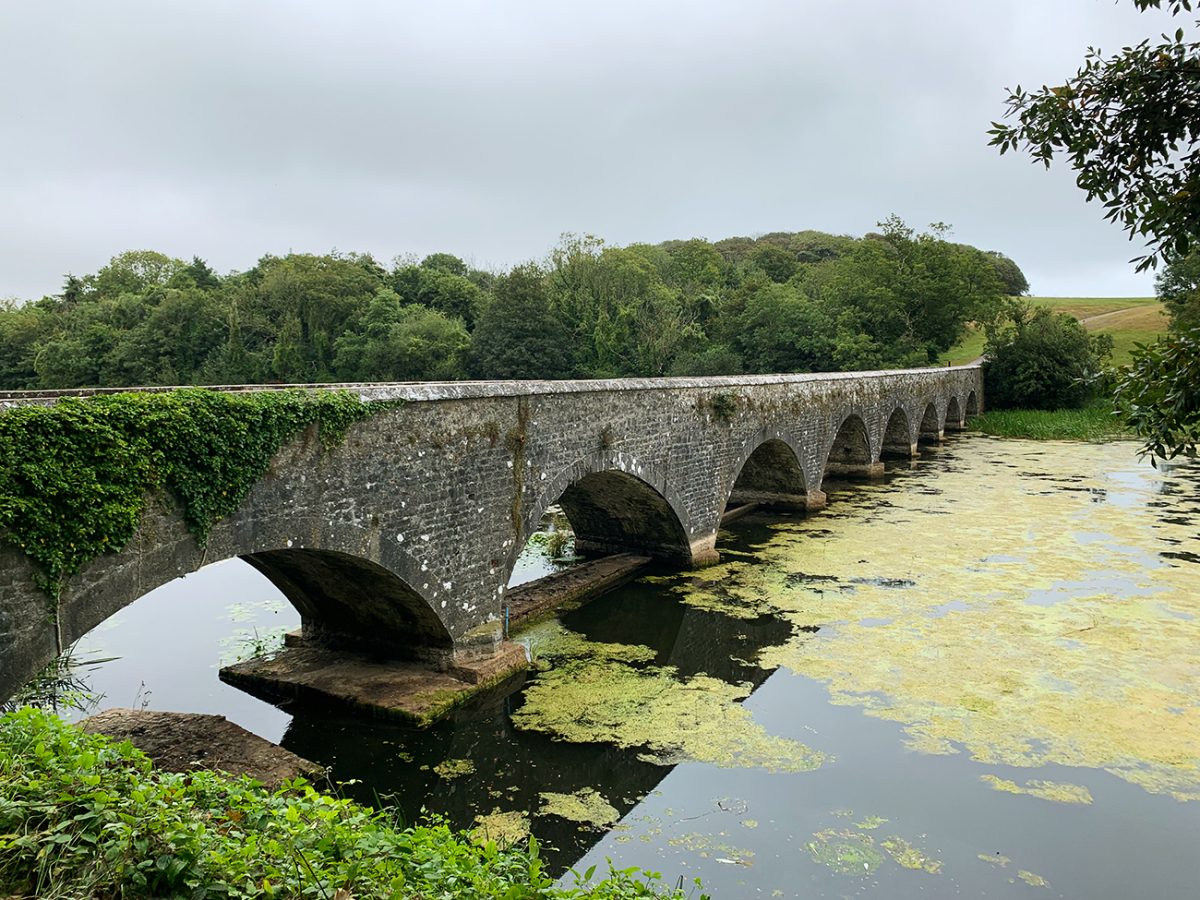
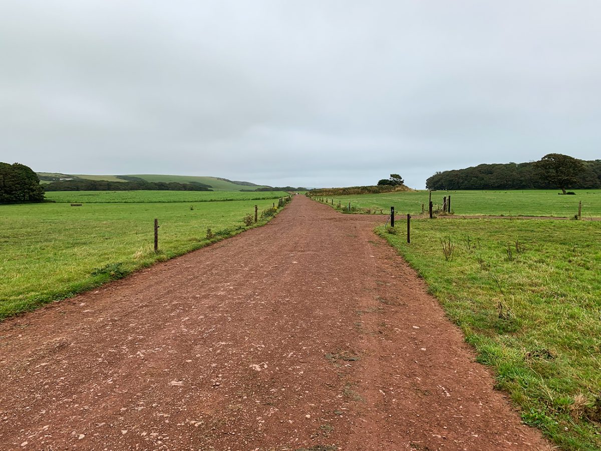
The Eight-Arch Bridge is the first major landmark. Beyond it, the route continues through woodland and fields towards Stackpole Quay. There were lots of cattle on this part of the walk and a couple of gates, so dogs should be kept under close control.
Stackpole Quay
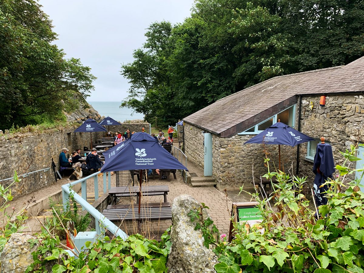
Stackpole Quay was our refreshment stop. I used the toilets and stopped for a coffee before joining the coast, and it is the best place on this circuit to pause. Opening arrangements can change, so I would still carry enough food and drink to complete the walk without relying on the café.
Walking to Barafundle Bay
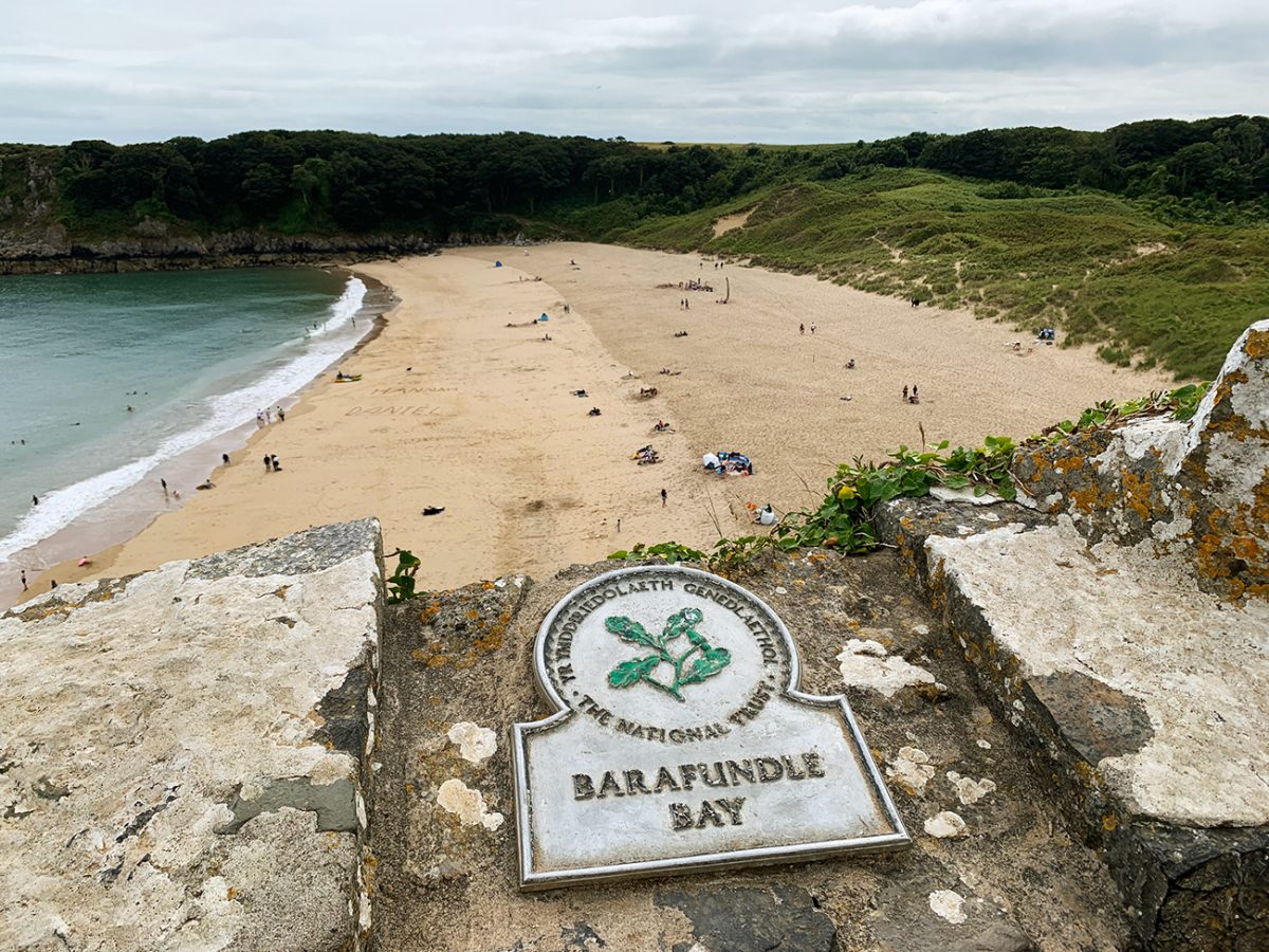
From Stackpole Quay, the walk changes character as it joins the Pembrokeshire Coast Path. Barafundle Bay can only be reached on foot, and approaching it this way gives you a fantastic first view of the beach. I descended the steps, crossed the sand and then climbed the steps on the opposite side to continue the circular route.
The tide did not affect our route, but normal coastal judgement is still important. Conditions on the beach and exposed path can change with the weather, and the climb from the sand is one of the more demanding moments despite the walk’s low overall ascent.
Stackpole Head, Saddle Point and Broad Haven South
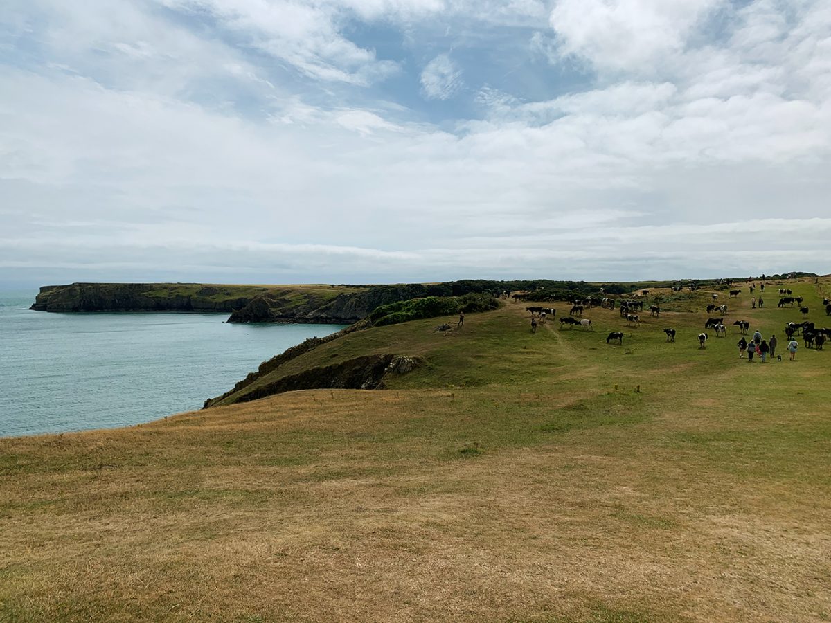
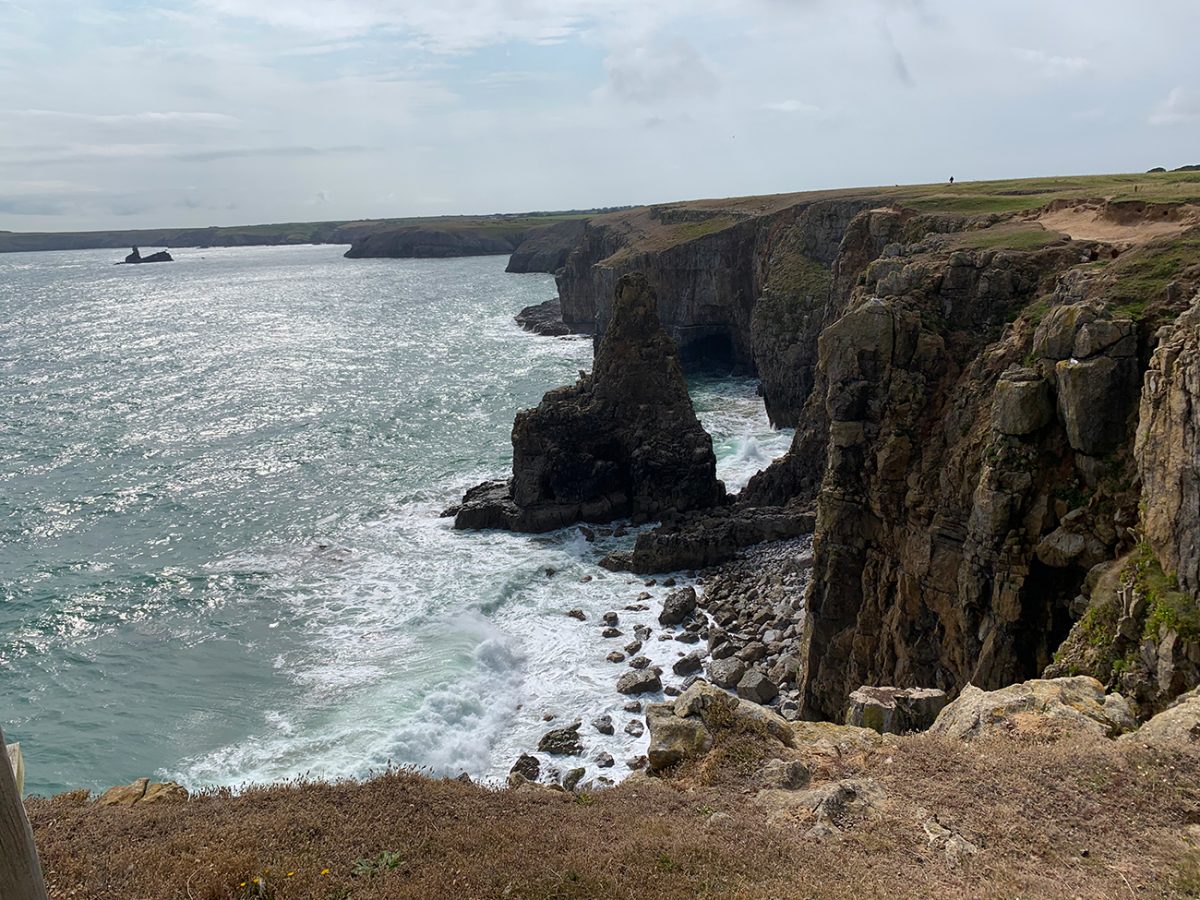
The cliff-top section around Stackpole Head and Saddle Point is the wildest and most exposed part of the walk. The views are superb, but sections run beside natural, unguarded cliff edges. Keep well back, supervise children closely and keep dogs under control, particularly in strong winds or poor visibility.
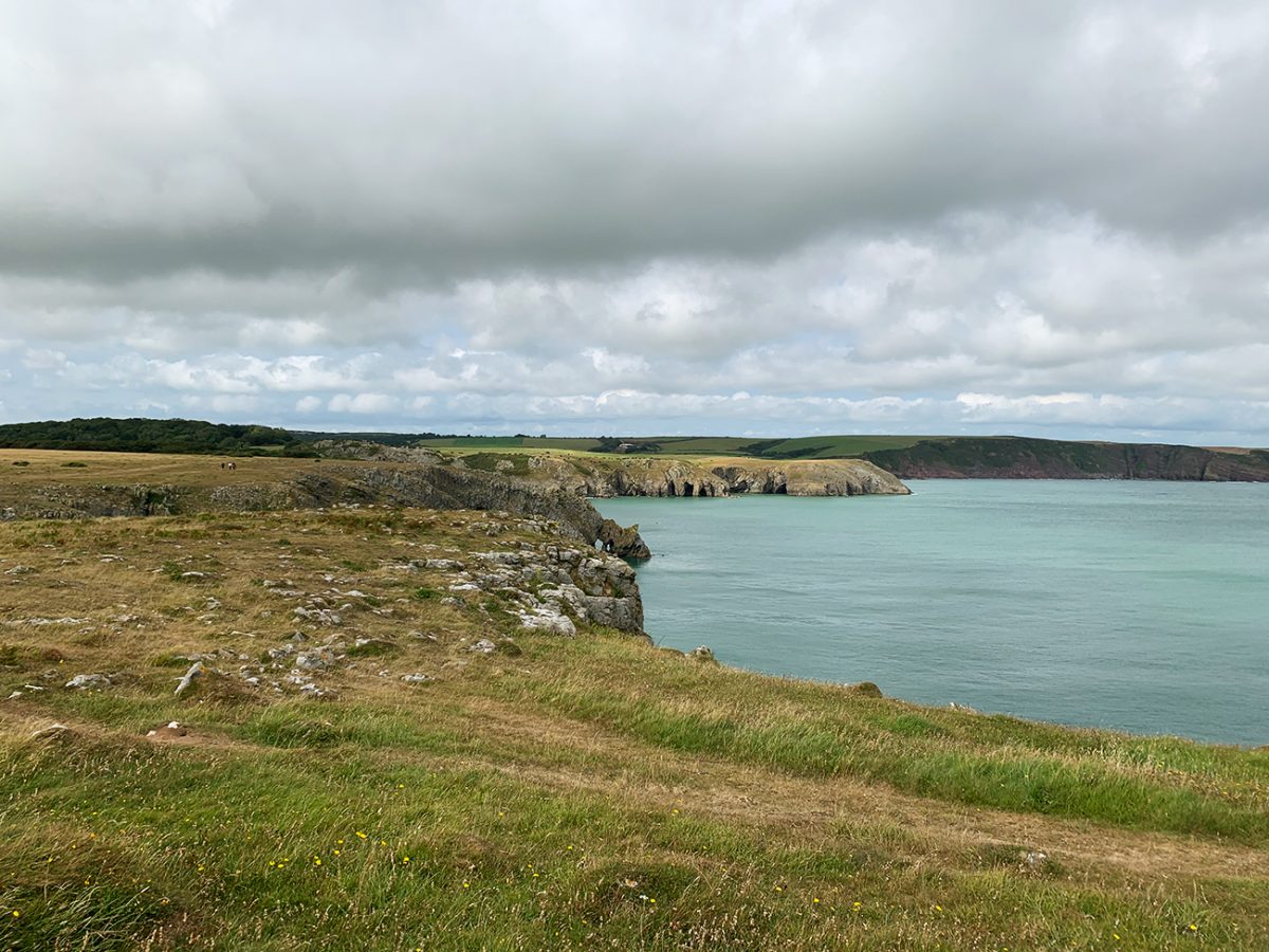
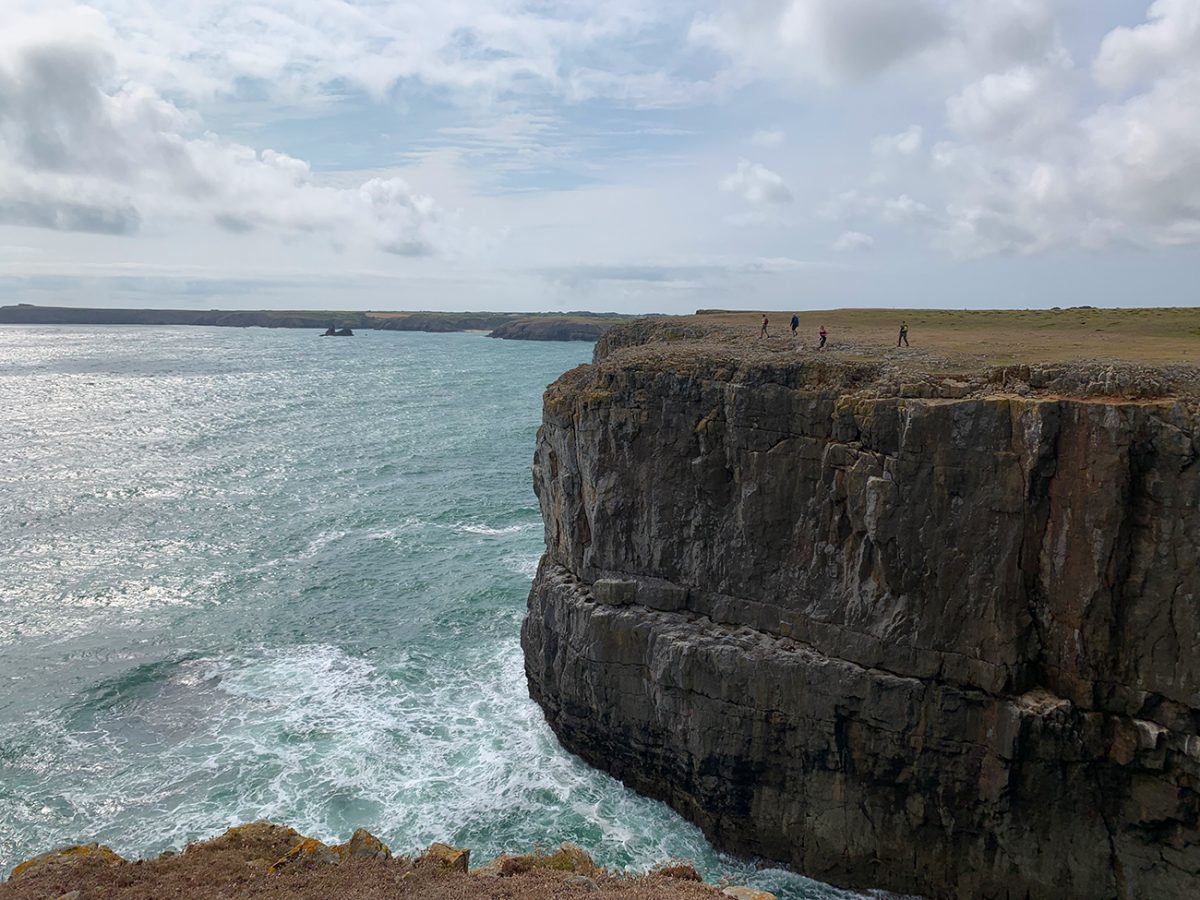
Continue around the coast until Broad Haven South comes into view. From here, turn inland to rejoin the Lily Ponds. The quiet return beside the water is a lovely contrast to the exposed coast and leads naturally back to Bosherston car park.
Can you visit only Bosherston Lily Ponds?
Yes. You do not need to complete this full 6.5-mile coastal circuit to enjoy the ponds. The National Trust publishes a separate Lily Ponds trail of roughly one mile, which is a better choice if you have limited time or do not want the exposed cliffs and longer distance. The full route here is for walkers who want to connect the ponds with Stackpole Quay, Barafundle Bay and Broad Haven South.
See the official National Trust Lily Ponds trail for current short-walk details.
Practical information and safety
- Terrain: Lakeside paths, woodland, fields, beach sand, steps and exposed natural cliff-top paths.
- Cliffs: Some coastal sections have unguarded edges. Stay back and take extra care with children and dogs.
- Livestock: I encountered lots of cattle. Keep dogs under close control and use a lead around livestock and wildlife.
- Facilities: Toilets are available at Bosherston and Stackpole Quay. I stopped for coffee at Stackpole Quay; check opening times rather than relying on the café.
- Weather: Wind, rain and poor visibility can make the exposed coast much more serious.
- Accessibility: The complete circuit is not suitable for wheelchairs or pushchairs because of uneven ground, sand, steps and coastal climbs.
- Navigation: Carry the GPX and an offline map. The route was unchanged when I walked it two years ago, but check current notices.

Walk this route yourself in 3D
This 3D walkthrough shows the full route and gives you a useful idea of the landscape before you set off.
Watch my Bosherston Lily Ponds and coastal circular 3D route.
Bosherston to Barafundle Bay walk FAQs
How long is the Bosherston to Barafundle Bay circular walk?
My route is 6.5 miles with 253 feet of ascent. I completed the walking in 3 hours 35 minutes, but recommend allowing around 4½ hours for the views and a stop at Stackpole Quay.
Is the Bosherston and Barafundle walk circular?
Yes. It is a clockwise circular route beginning and ending at Bosherston Lily Ponds National Trust car park.
Can I visit just the Bosherston Lily Ponds?
Yes. The National Trust has a separate Lily Ponds trail of roughly one mile, so you can enjoy the lakes without completing this full coastal circuit.
Where do I park for the walk?
Park at Bosherston Lily Ponds National Trust car park, SA71 5DR. Parking is pay-and-display, while National Trust members and Blue Badge holders can park free under the current arrangements.
Is the route suitable for beginners and children?
Yes for reasonably fit beginners and children who can manage 6.5 miles. The distance, beach steps and exposed cliff paths require care and close supervision.
Can dogs complete the route?
Fit dogs can complete it, but there are cattle, wildlife, gates and exposed cliffs. Keep dogs under close control and use a lead around livestock.
Are there toilets and refreshments?
There are toilets at Bosherston and Stackpole Quay. I stopped for coffee at Stackpole Quay, but check current opening times and carry enough food and drink.
Is the route easy to follow?
Much of it follows established estate paths and the Pembrokeshire Coast Path, but I still recommend the GPX and an offline map. Check notices because a permissive path near Stackpole can occasionally close.
What are the main hazards?
The main hazards are exposed, unguarded cliff edges, strong coastal wind and the climb out of Barafundle Bay. Take extra care in poor weather.
When is the best time to see the lilies?
June is usually one of the best months for the water lilies, although flowering varies with the season and weather.