

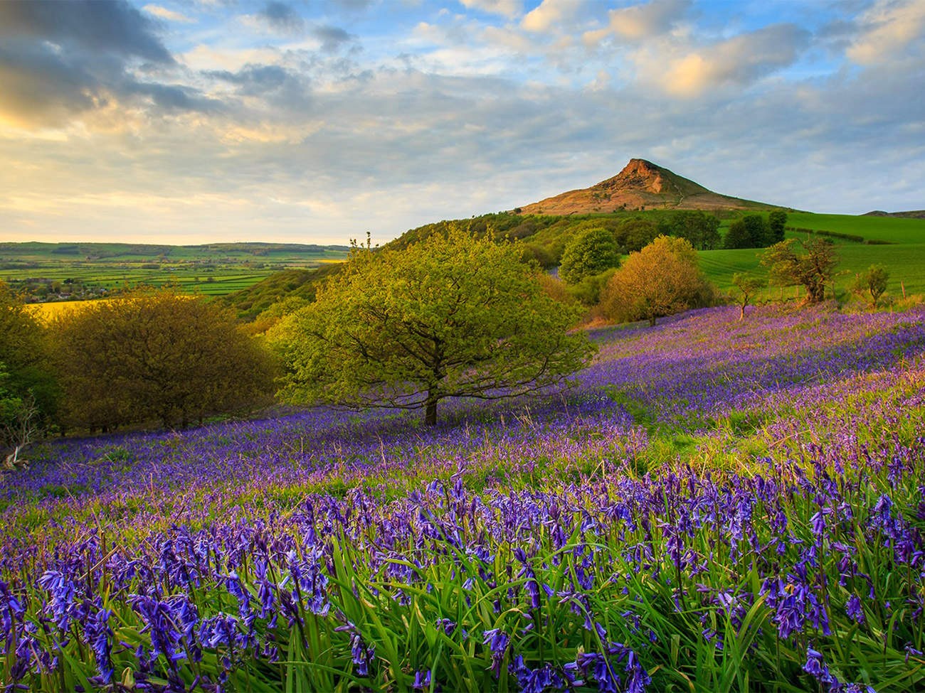
Region: North York Moors National Park, North Yorkshire, near Great Ayton and Newton under Roseberry, England
Places To Stay: Base yourself in Great Ayton for cafés, pubs, Captain Cook history and easy access to Roseberry Topping, or stay in Stokesley if you want a small market-town feel with more places to eat nearby. Middlesbrough and Guisborough also work well if you want a wider choice of accommodation and quick access to the North York Moors. Looking for more English walks? Head to your England Hiking Guides page to explore more hiking routes across the Peak District, Lake District, Yorkshire, Dorset and beyond.
This ~10km circular walk up Roseberry Topping starts in Great Ayton before heading anti-clockwise towards Roseberry Common and climbing one of the most recognisable hills in northern England. Roseberry Topping may only stand at around 320m, but its sharp, broken profile gives it a mountain feel and has earned it the nickname the Yorkshire Matterhorn.
The walk gives you a great mix of woodland, open common, old mining scars, sweeping North York Moors views and a short but punchy climb to the summit. From the top, you get wide views across Cleveland, the Tees Valley and the North York Moors and, on a clear day, out towards the coast.
It isn’t a particularly long walk, but it feels full of character and history. Roseberry Topping remains visible for much of the route, constantly changing shape as you circle the hill, before the final climb gives you one of the best viewpoints in this part of Yorkshire.
For more walks with distinctive summits and big views, my Kinder Scout Circular Walk from Edale explores the highest point in the Peak District, while the Mam Tor Circular Walk from Castleton follows the famous Great Ridge. My Malham Cove and Gordale Scar Circular Walk combines waterfalls, limestone scenery and one of Yorkshire’s best-known natural landmarks, and the Whitby to Robin Hood’s Bay Coastal Walk is another brilliant Yorkshire route if you would rather spend the day beside the sea.
Below are a three ideas for trips and tours available in the North Yorkshire, GetYourGuide offer great discounts and availability + Many Yorkshire options!
For a bigger selection of North Yorkshire accommodation, Booking.com has plenty of cottages, lodges and hotels to browse.
Getting There: Directions, GPX and App Link
- Start point: Parking in Great Ayton, below Roseberry Topping. Google Maps link: Great Ayton
- Parking: Use local parking responsibly around Great Ayton under Roseberry. Roseberry Topping is very popular, especially at weekends.
- Transport: The nearest useful public transport links are around Great Ayton and Newton under Roseberry, with Great Ayton station providing rail access for some route variations. The National Trust also promotes walks from Great Ayton and the wider Roseberry Topping area.
- GPX: Download the GPX file here for use on your GPS device or watch
- You can also view and follow this route on my Outdooractive and Komoot profiles
- Avoid the early start – find accommodation in Great Ayton

Sim Local can reduce or even eliminate your roaming fees. Click www.simlocal.com/ + 10% Discount Using – ‘WELSHMAN’
Hike Profile
- Distance: Approximately 10km / 6.2 miles
- Duration: Approximately 3–4 hours with stops
- Ascent/Descent: Around 300–400 m
- Highest point: Roseberry Topping summit, 320m
- Difficulty: Moderate
- Terrain: Village lanes, woodland paths, field tracks, open common, stone steps and a steep summit path
- Best For: Views, geology, mining history and classic North York Moors scenery
- Navigation: Generally straightforward, although the GPX route is useful around Roseberry Common and the longer return to Great Ayton
Route Overview
| Section | From → To | Path | Distance | Notes |
|---|---|---|---|---|
| 1 | Great Ayton → lower Roseberry paths | Lanes / tracks / woodland edge | 1.5 km | Easy start with Roseberry Topping already visible ahead. |
| 2 | Lower paths → Roseberry Common | Field and common paths | 2 km | Open views begin to build as you approach the hill. |
| 3 | Roseberry Common → Roseberry Topping summit | Steep summit path / stone steps | 1 km | The main climb of the day, short but sharp. |
| 4 | Summit → Roseberry Common | Descent path | 1 km | Take care on the way down, especially if wet. |
| 5 | Roseberry Common → Great Ayton | Tracks / woodland / field paths | 4.5 km | A quieter return with views back to the distinctive summit. |
Flying into Leeds Bradford? Quick Skyscanner Checker
Hike Description
The walk starts in Great Ayton, which is a brilliant little place to begin, on the edge of the North York Moors with Roseberry Topping close by rising ahead like a miniature mountain. From the start, the hill is the obvious target and, even before you have climbed it, it already feels like a landmark.
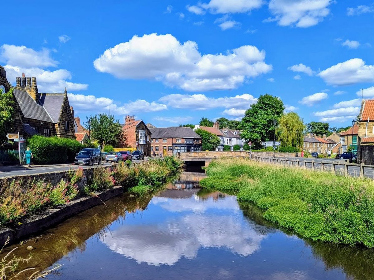
Heading anti-clockwise, the first section eases you into the walk rather than throwing you straight into anything steep. You follow quiet lanes, tracks and the edge of fields as you head toward the lower slopes, and you’ll see the the shape of Roseberry changing as you move around it.
From some angles it looks smooth and rounded, while from others it looks broken and jagged. That changing profile is a big part of what makes the walk so interesting.
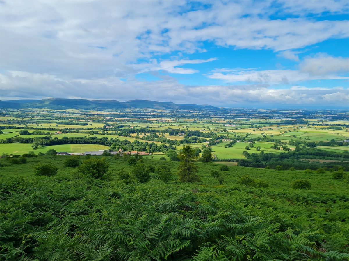
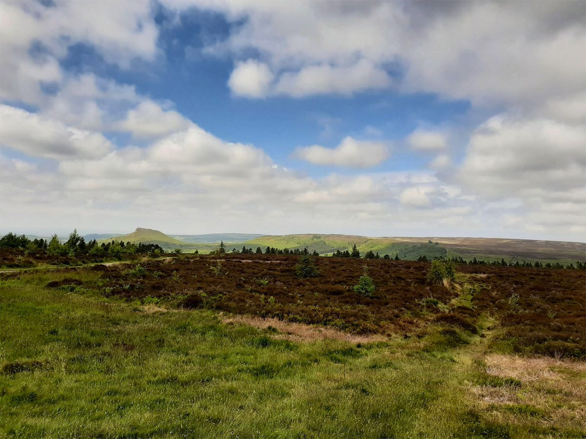
As you approach Roseberry Common, the landscape opens out across the North York Moors, with rough grass, woodland edges, big skies and wide views over Cleveland.
The hill itself dominates the scene, but the surrounding countryside is just as important. Roseberry Topping is not a lonely peak in the middle of nowhere; it sits where industry, farmland, moorland and the distant coast all meet, which gives the view from the summit a real sense of contrast.
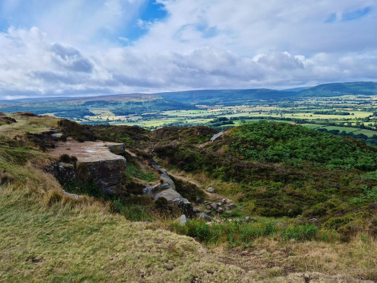
The geology is one of the big stories here. Roseberry Topping is formed from different layers of rock, with harder sandstone helping protect the softer rocks beneath it. Over time, weathering and erosion shaped the hill into the distinctive outline you see today.
Its profile became even more dramatic following a major landslip in 1912. Historic ironstone mining left plenty of scars around the hill, although the collapse is also associated with the natural geological fault and extremely wet conditions.
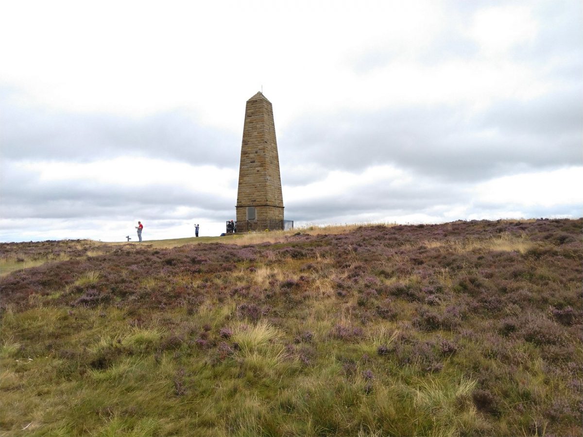
There is also a strong human story here. Roseberry Topping has long been a landmark for local people, travellers and sailors, and it is closely associated with the landscape around Great Ayton, where the young James Cook lived before becoming one of Britain’s most famous explorers. This National Trust route links Captain Cook’s Monument with Roseberry Topping, another major landmark in the area.
The climb from Roseberry Common to the summit is short, but it certainly gets the lungs working. The path steepens, you do get stone steps and the gentle countryside walk changes to become a little hill climb.
It isn’t technical, but it is worth taking your time. Looking back regularly is a good excuse for a breather because the views open surprisingly quickly behind you.
Reaching the summit of Roseberry Topping is the reward. At around 320m it is not especially high, but it feels far bigger than the number suggests.
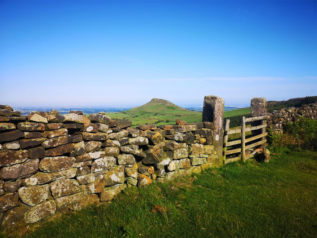
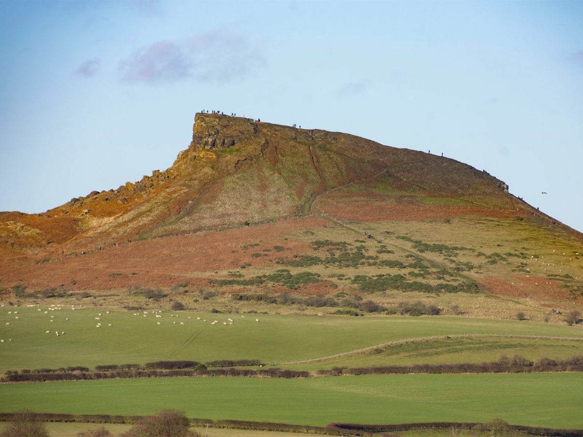
Reaching the summit of Roseberry Topping is the reward. At around 320m it is not especially high, but it feels far bigger than that.
The summit gives wide views across the Tees Valley, the Cleveland Plain and the North York Moors, with the coast visible in the distance when conditions are clear. Its isolated position and distinctive shape make it feel much more prominent than many higher hills.
There is also a strong human story here. Roseberry Topping has long been an important landmark for local people, farmers, travellers and sailors.
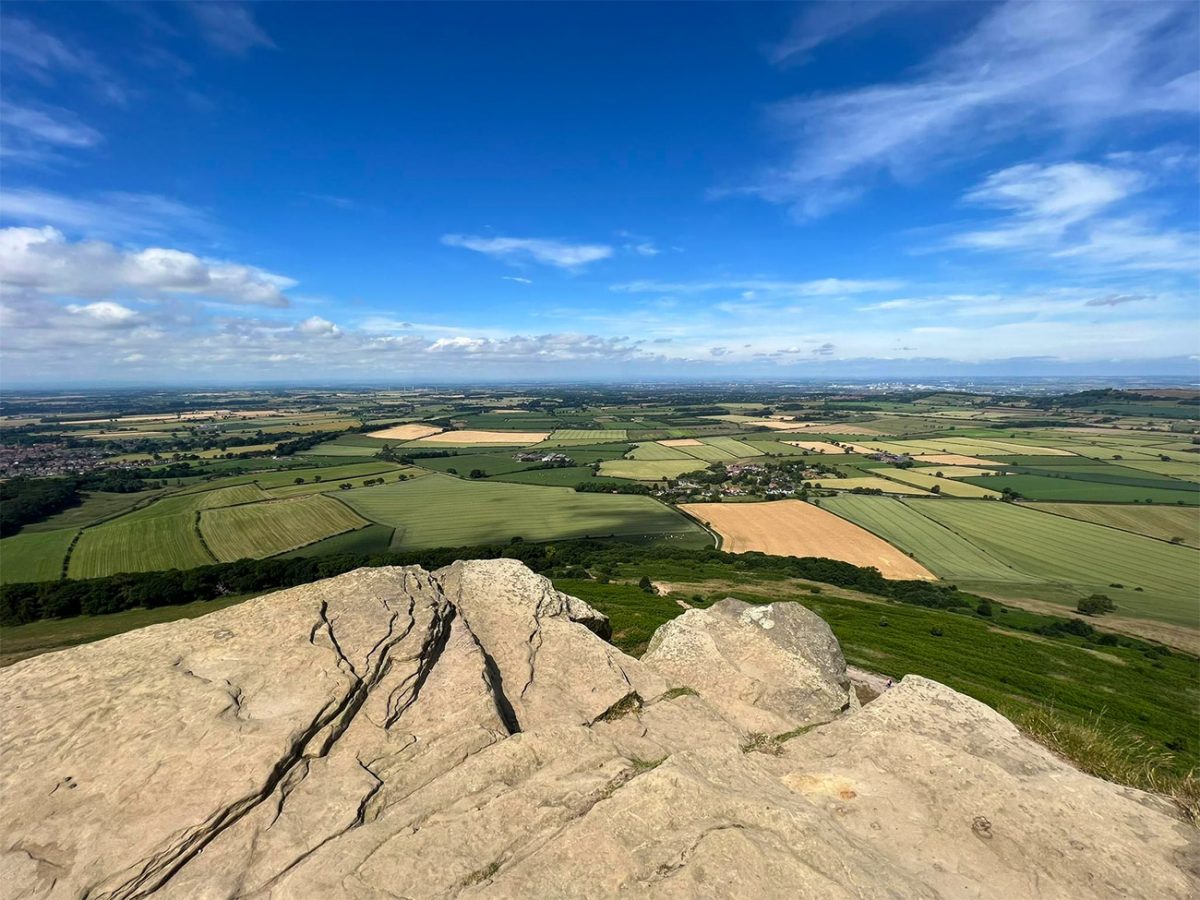
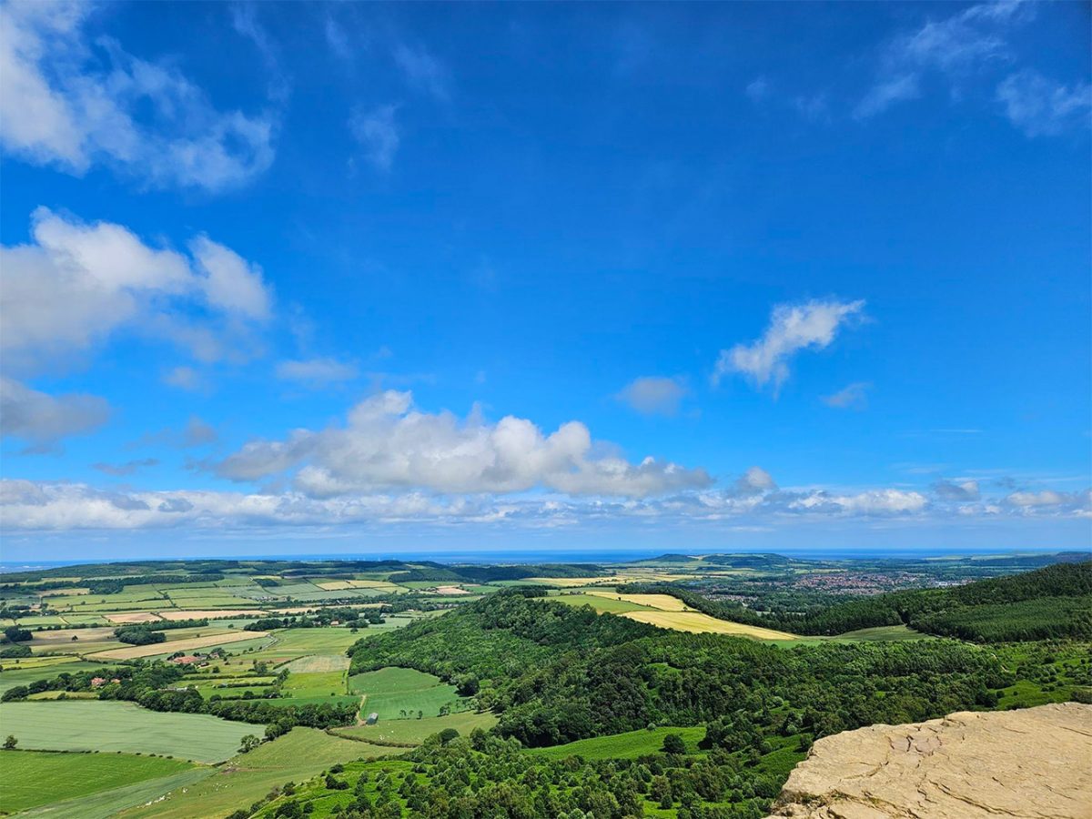
The summit is a good place to pause, have a drink, and take it all in. You can see why this hill has such a hold on people. It is instantly recognisable, easy to love and just dramatic enough to feel special without needing a huge mountain day.
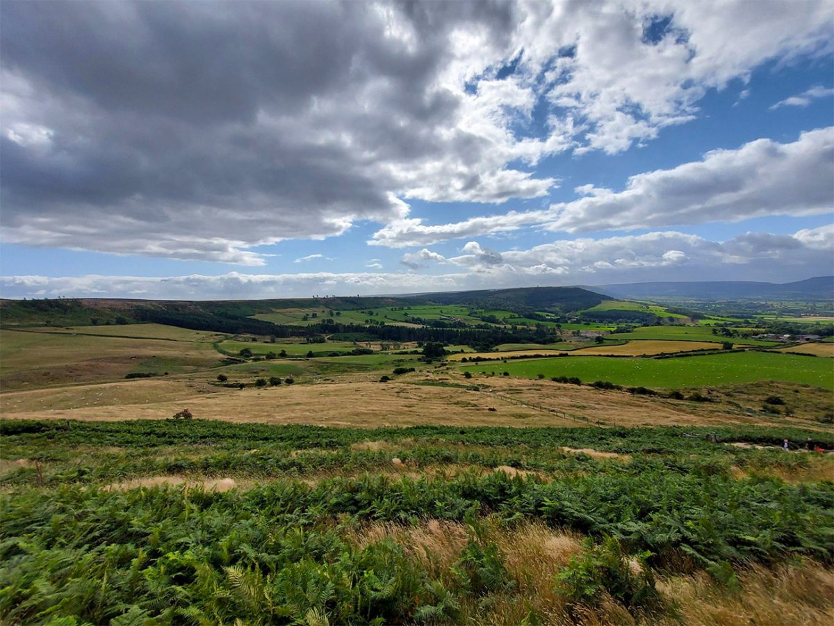
After leaving the summit, descend carefully towards Roseberry Common. The stone steps and worn ground can become slippery when wet, particularly with tired legs or when the path is busy.
Once you are lower down, the route becomes more relaxed again, looping back through common land, field paths and woodland edges.
The return towards Great Ayton is a nice way to finish because you keep getting backward views of Roseberry Topping. From below, the summit looks completely different again, more like a jagged tooth than a hill.
You also begin to notice the old scars of industry and land use around the slopes, reminders that this landscape has been shaped by people as well as geology.
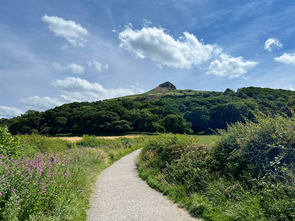
By the time you return to the start, it feels as though the walk has given you a bit of everything: a famous summit, big views, mining history, woodland, open countryside and plenty of North York Moors character.
It is a relatively short circular walk, but Roseberry Topping has the personality of a much bigger mountain.
Places to Stay in North Yorkshire
For a bigger selection of North Yorkshire accommodation, Booking.com has plenty of cottages, lodges and hotels to browse.
Recommended Stays
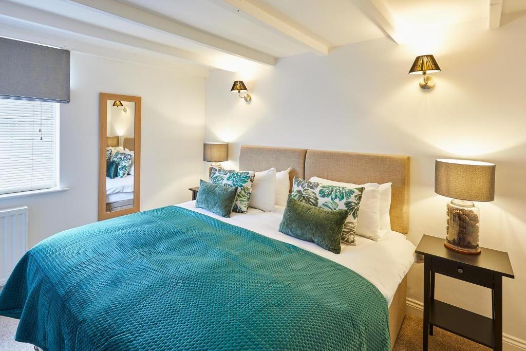
Host & Stay – Waterlily Cottage
Host & Stay – Waterlily Cottage in Great Ayton offers a holiday home with two bedrooms and a living room. The property features a private entrance, family rooms, and a fully equipped kitchen.

With a restaurant, bar and free Wi-Fi, this family-run hotel is on the edge of the North Yorkshire Moors, 15 minutes from Teesside and near the Wainwright’s Coast to Coast walk. With free WiFi, the Wainstones Hotel offers pick up by car and return in the morning for coast-to-coast walkers.
Practicalities
- Start early: Roseberry Topping is very popular, especially weekends and school holidays.
- Footwear: Trail shoes are fine in dry weather, but boots are better after rain.
- Summit climb: The final climb is short and steep, with stone steps and uneven ground.
- Weather: The summit can be windy and exposed, even when it feels calm lower down.
- Food and water: Bring snacks and water. Great Ayton and nearby villages are good for cafés and pubs afterwards.
- Navigation: The summit paths are clear, but a GPX is useful for the longer circular from Great Ayton.
- Dogs: Good dog walk, but keep dogs under control around livestock, woodland and busy paths.
- Mud: Expect muddy sections around woodland and common paths after rain.
- Crowds: The summit can be busy, but the wider circular should feel quieter than the direct up-and-down route.
- Best season: Spring, summer and autumn are ideal, but winter can be brilliant on a crisp clear day.

Walk this route yourself in 3D!
The Video is a 3D walk through of this route; it will give you a unique sense of having walked through the route before you start.
I have created 3D Videos of my adventures and have shared them with the OutdoorActive community as well as my walking community.
Roseberry Topping Circular Walk – North Yorkshire – 3D Video
Roseberry Topping FAQs
How long is the Roseberry Topping circular walk?
How long does the walk take?
Where does the walk start?
How difficult is the Roseberry Topping circular walk?
How high is Roseberry Topping?
Why is Roseberry Topping called the Yorkshire Matterhorn?
What caused Roseberry Topping’s unusual shape?
Is Captain Cook’s Monument on this route?
Are dogs allowed on Roseberry Topping?
What should I take on the walk?

Water-to-Go Named Best Water Bottle for Travel. Click www.watertogo.eu + 20% Discount Using – ‘WMW20’

AllTrails: Trail Guides & Maps for Hiking, Camping, and Running | AllTrails ‘Plus’ 30% OFF – Read my ‘Full Review‘ for more details.