

Region: Atlas Mountains, Morocco
Introduction
Mount Toubkal sits high in Morocco’s Atlas Mountains and at 4,167 metres is the highest peak in North Africa. While the summit sounds intimidating on paper, the reality is that for most of the year it’s a challenging mountain walk rather than a technical climb.
I joined a three-day guided trek from Imlil, combining an acclimatisation hike on day one, an overnight stay in the mountain refuge on day two and an early morning summit push on day three. The trip offered a fascinating mix of mountain scenery, Berber culture, surprisingly good food and a chance to experience high altitude without needing ropes or climbing equipment.
Here’s how the three days unfolded.
Booking Your Guide – This Is What I Did
Most visitors tackling Mount Toubkal stay in Imlil, the small mountain village that serves as the gateway to the High Atlas Mountains. Imlil offers a range of guesthouses, riads and mountain lodges, making it an excellent base for exploring the area before or after your trek.
For my trip, we flew into Marrakesh the day before and spent our first night in the city. I booked a 3-Day guided Mount Toubkal trek through Toubkal Summit, which included all accommodation, meals during the trek, transfers to and from Marrakesh and the services of a local mountain guide. It made the logistics incredibly straightforward. After being collected from our hotel in Marrakesh, we were driven to Imlil, introduced to our guides and set off on our first acclimatisation hike into the Atlas Mountains. That evening we stayed in a traditional guesthouse in Imlil before spending our second night at the Toubkal Refuge high in the mountains.
After the trek, we decided to spend a little longer in Morocco and booked an additional two nights in Marrakesh. The return transfer from Imlil was included as part of the trek, making it easy to continue our trip. At only around 90 minutes from the mountains, Marrakesh offers a fascinating contrast to the peace of the Atlas Mountains, with its bustling souks, historic medina, rooftop cafés and vibrant atmosphere.
Toubkal Summit have various options, see below, and the guides Ibrahim and Omar are also on Instgram, and I highly recommend them.
2-Day Berber Villages Trek – Atlas Mountains
Discover the real Atlas Mountains on this unforgettable 2-Day Guided Trek from Imlil. Hike through traditional Berber villages, enjoy stunning mountain views, meet local families, and experience authentic Berber hospitality.
Highlights
- 🥾 Guided trek through the Atlas Mountains
- 🌄 Spectacular mountain and valley views
- 🤝 Meet local Berber families and learn about their culture
- 🍲 Freshly prepared traditional meals
- 🏡 Overnight stay in a Berber guesthouse
- 🧖 Traditional hammam and massage experience
- 💦 Visit the beautiful waterfalls of Imlil
A perfect introduction to trekking in Morocco, combining breathtaking scenery, local culture, and genuine Berber hospitality.
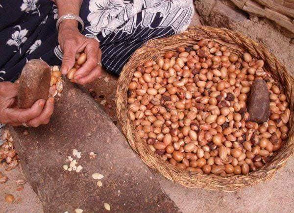
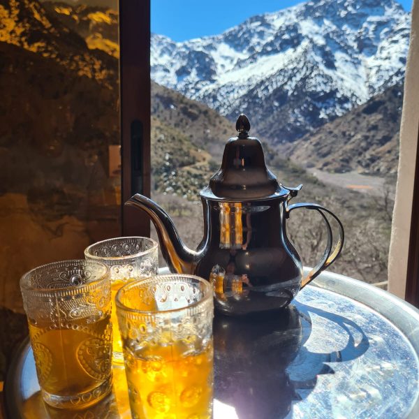
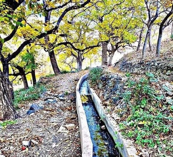
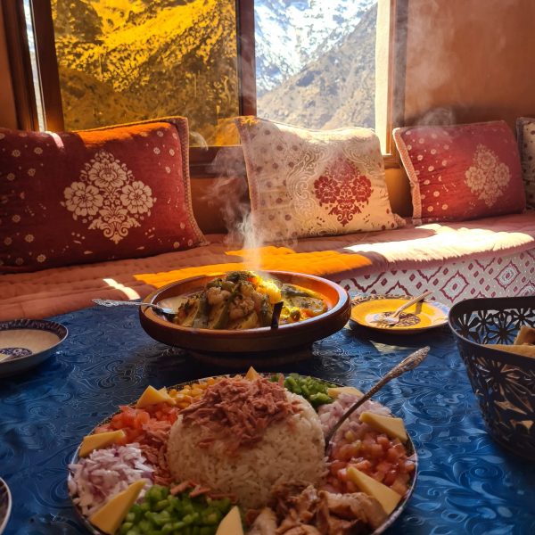
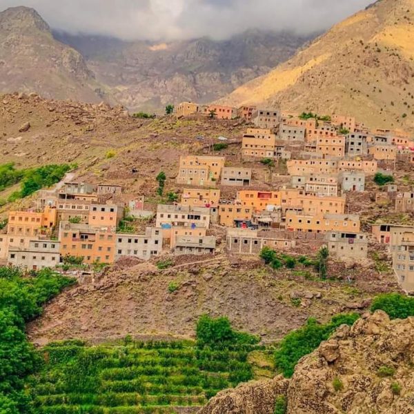
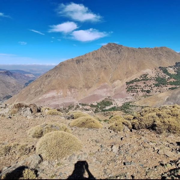
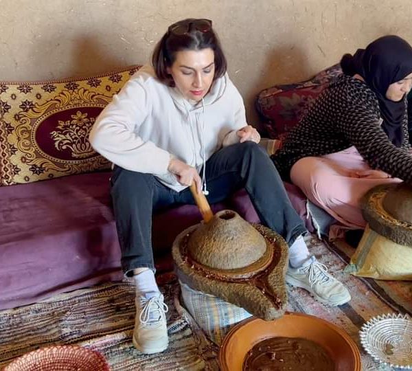
There are other Mount Toubkal options, including a 2 and 4-Day option, some of them are below.
If you’re planning on booking your own accommodation, Imlil is your destination, Booking.com has a huge variety to browse through.
Route Overview
| Day | Route | Distance | Time |
|---|---|---|---|
| 1 | Imlil to Tawdja Summit and return | Approx 10km | 5-6 hrs |
| 2 | Imlil to Toubkal Refuge | Approx 10 miles / 16km | 5-6 hrs |
| 3 | Refuge to Toubkal Summit and return to Imlil | Approx 10 miles / 16km | 8-10 hrs |
Flying into Marrakesh? Quick Skyscanner Checker
Day 1 – Acclimatisation Hike to Tawdja Summit (2,700m)
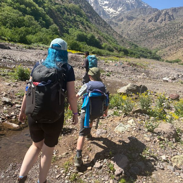
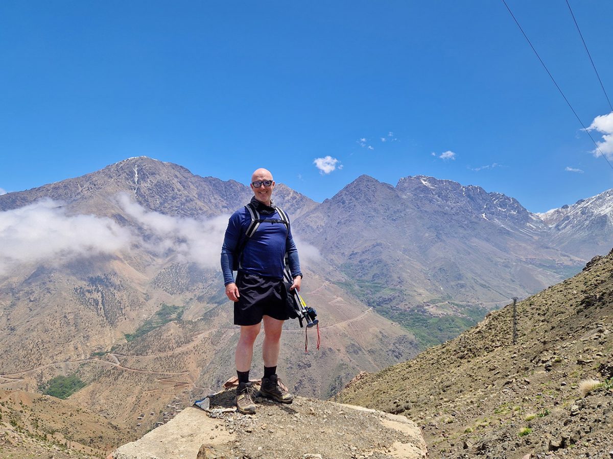
After arriving in Imlil, we were dropped off at what seemed to be a guide meeting point complete with toilets, seating areas and fantastic views across the surrounding valleys and the High Atlas Mountains. We were already dressed and ready for the day’s walk, so we left our larger bags behind and prepared for our acclimatisation hike to Tawdja Summit at around 2,700 metres. Starting at approximately 1,800 metres, we had around 850 metres of elevation gain ahead of us. The aim wasn’t to exhaust ourselves, but to begin adjusting to the thinner mountain air before heading higher over the following two days.
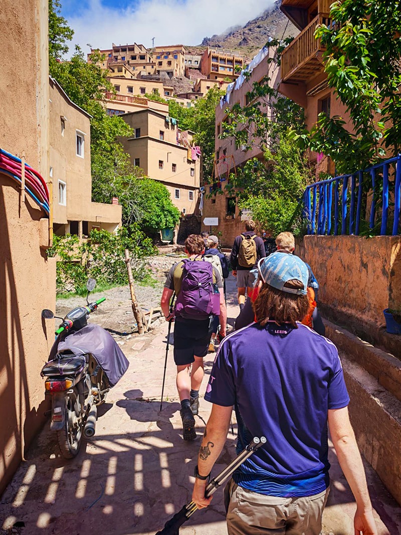
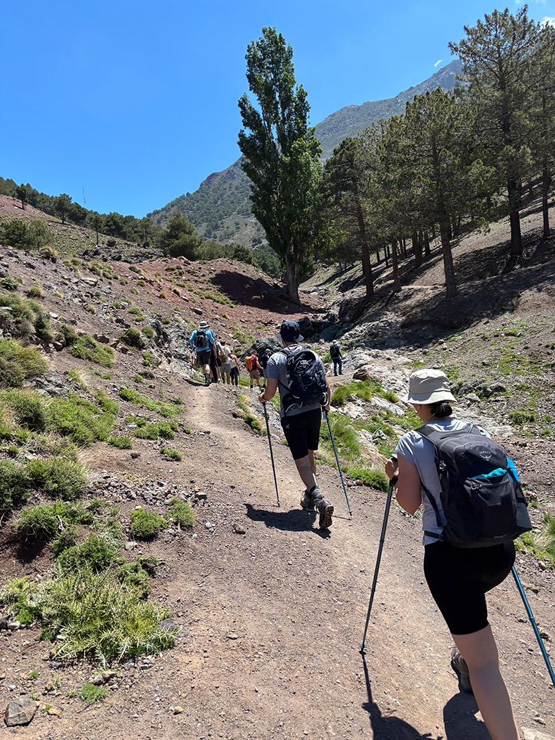
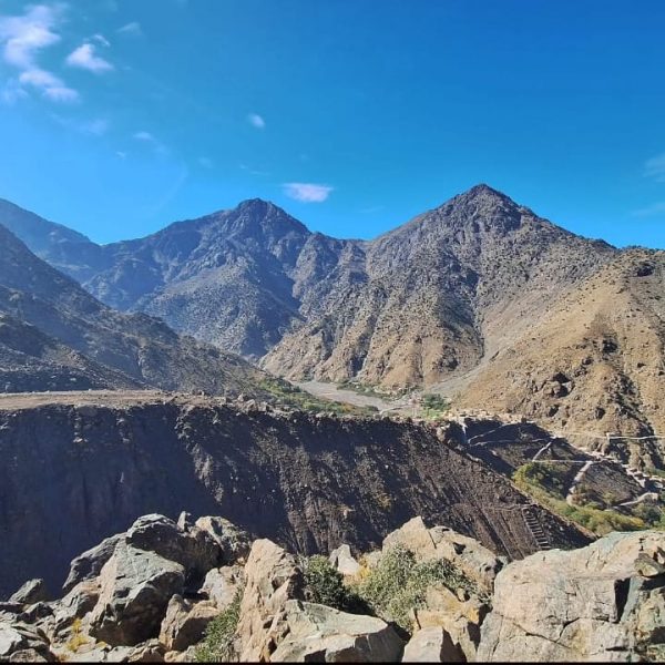
The trail starts in the village itself. You pass local people going about their daily lives, children playing outside and donkeys carrying supplies through the narrow streets. Before long, you’re out in the open, steadily climbing the valley. The route follows dirt roads and clearings through the trees, gradually revealing increasingly impressive views across the Atlas Mountains. Looking back towards Imlil, the clusters of houses seem to cling impossibly to the mountainsides while distant ridges and mountain tops stretch away in every direction.

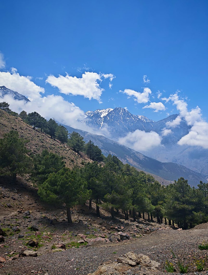
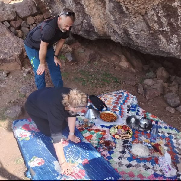
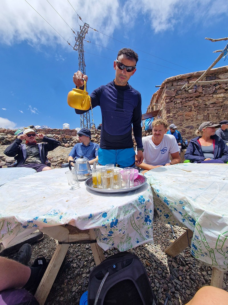
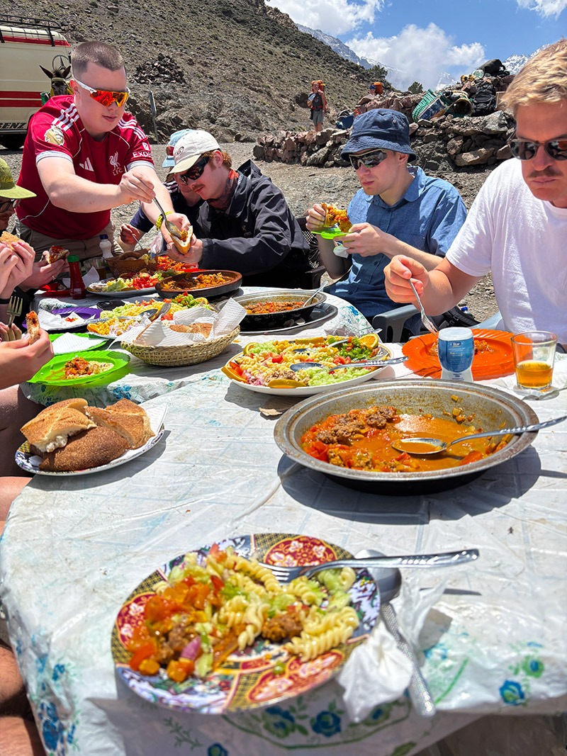
Although the altitude could already be felt slightly on some of the steeper sections, the pace remained comfortable and there was plenty of opportunity to stop for photographs and take in the scenery. Much of the climb follows a wide dirt track that zig-zags steadily uphill to a picnic area where we stopped for lunch. The food was colourful, fresh and surprisingly substantial, served by our guides and the local team supporting trekkers.
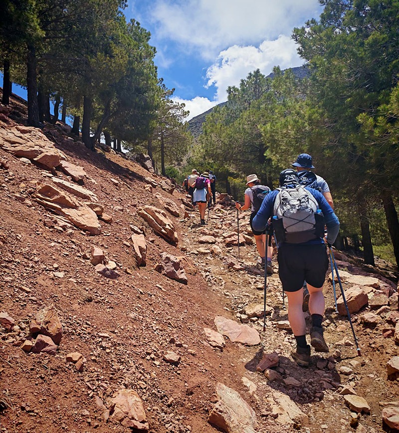
After a short break, it was time to continue towards the summit on a dusty, rocky trail that continued to zig-zag its way uphill through the trees. Unfortunately, by this point the clouds had rolled in and hidden much of the surrounding landscape. On a clear day I imagine the views from the top would be spectacular, but that’s mountain weather for you.
After reaching the summit, we retraced our steps back down to the start point in Imlil.
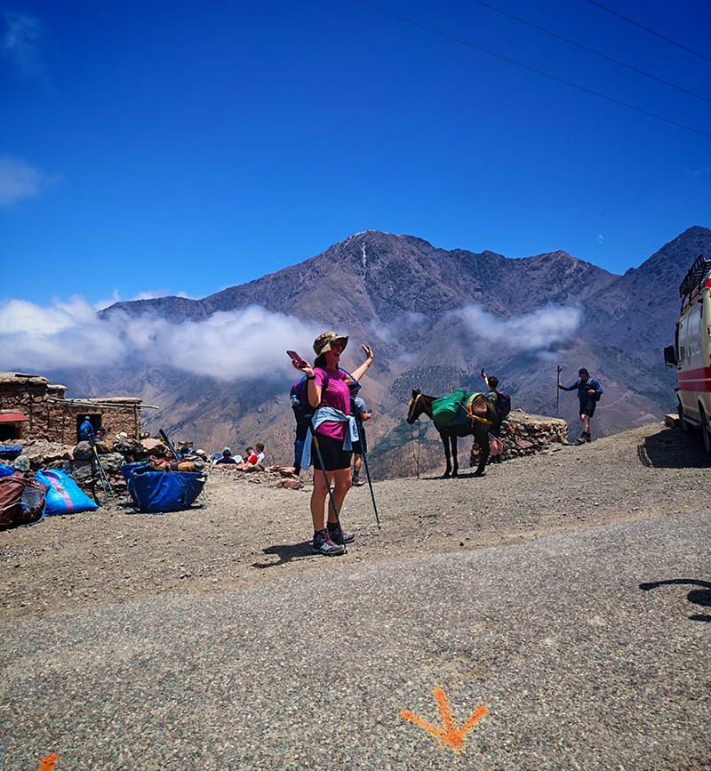
The walk proved to be the perfect introduction to the terrain, the altitude and perhaps most importantly, the Moroccan heat. Even in spring the sun can feel intense, so make sure you pack a hat, lightweight clothing, plenty of water and high-factor sun cream. More than anything, it was a useful reminder that when hiking at altitude, slow and steady is usually the best approach.
Day 2 – Trek to Toubkal Refuge (3,207m)
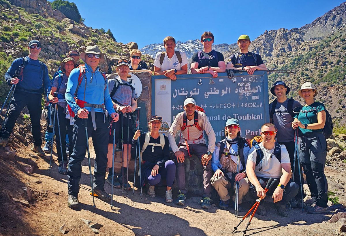
The start to Day 2 was very relaxed and we didn’t feel rushed at all. Breakfast was served at 8:30am and afterwards we all gathered at the meeting point with our guides before setting off at around 9:30am. We had a great group too, with six Irish lads who were fantastic to be around, a couple from New Zealand, a solo traveller from Denmark and then myself and four others from Wales. It’s one of the things I enjoy most about these sorts of trips, meeting people from different countries who all share the same goal of getting to the summit.
The morning was also an opportunity to collect any kit people had hired for the summit day. We had arranged everything with the guides the previous afternoon, and there wasn’t anything they couldn’t get for you. Some members of the group hired trekking poles and or crampons, others needed full winter equipment and clothing, while some only required gloves or extra layers. The whole process was straightforward and stress-free and paid for with cash. Then before long we were ready to leave Imlil and begin our trek towards the refuge.
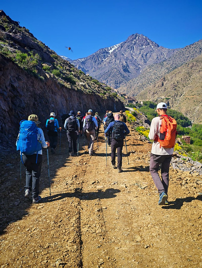
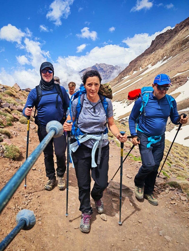
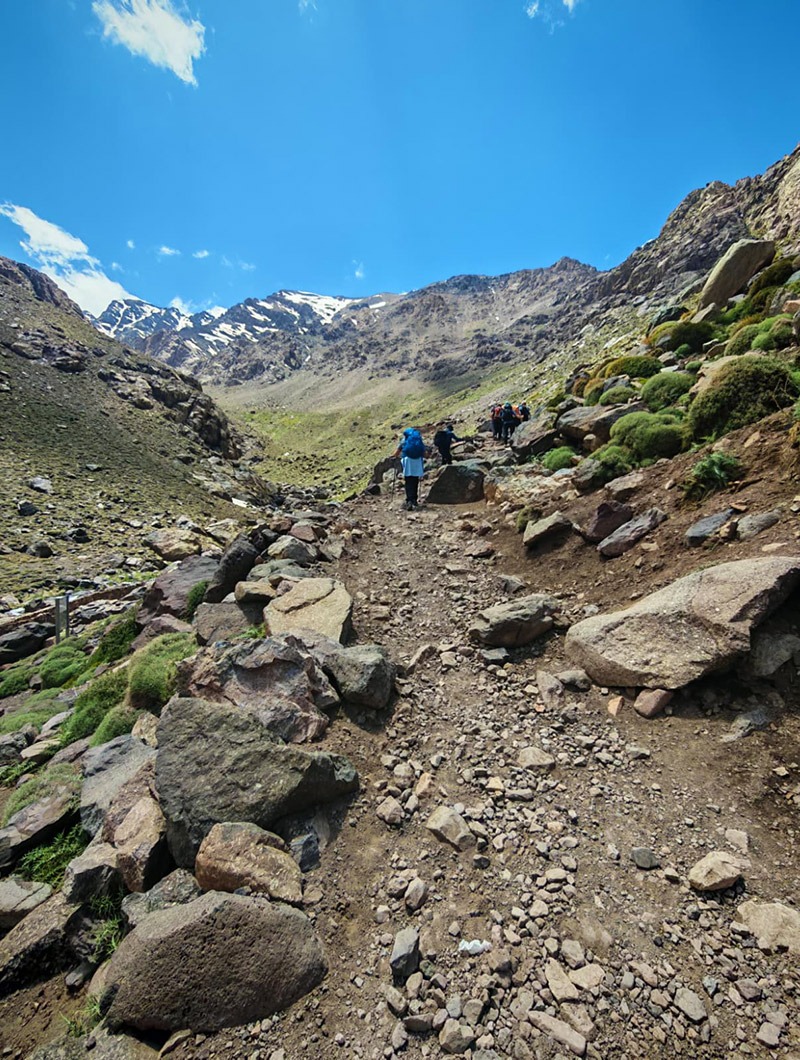
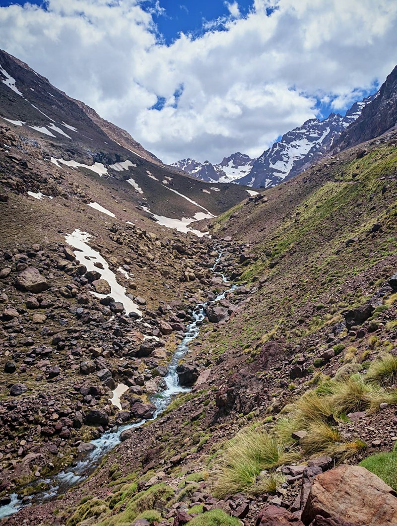
The trail follows a mountain valley and, step by step, you’re gradually gaining height throughout the day. One of the first landmarks is a small waterfall beside the trail before joining a wide, dusty road that appears to have been constructed fairly recently. The route then passes through the village of Aremd before continuing towards the famous shrine of Sidi Chamharouch, one of the most important pilgrimage sites in the Atlas Mountains.
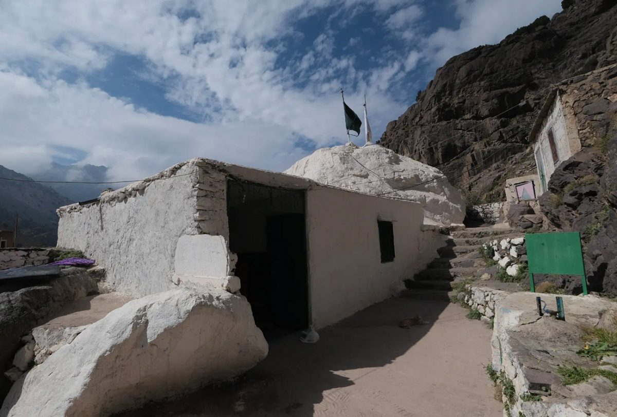
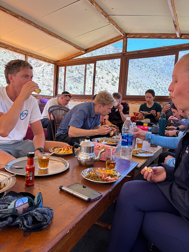
This is where lunch was served for us, and it’s also a good place to top up your water, grab some snacks and pick up any supplies you might need for the trek ahead, your evening at the refuge or the summit climb the following morning.
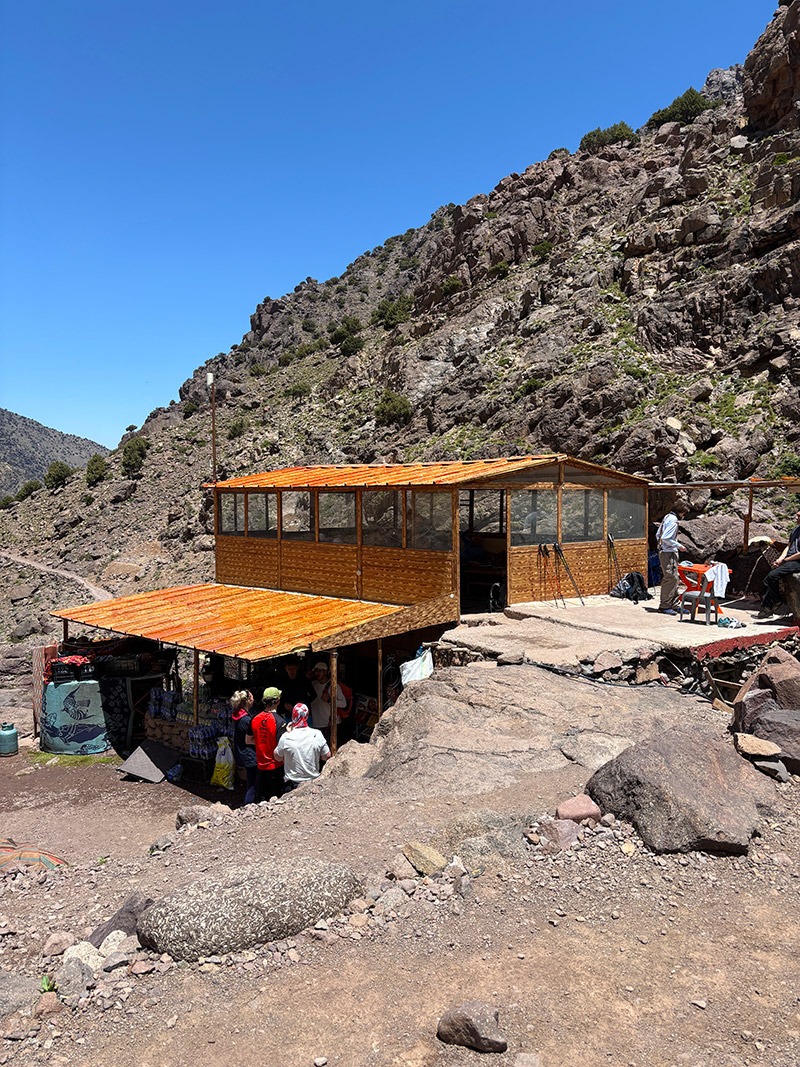
One thing you definitely shouldn’t forget for this trek is your passport. The guides reminded us several times before setting off, as there is a security checkpoint along the route where passports are checked and details recorded. The process was quick and relaxed, but it’s something worth keeping in mind before you arrive.
One thing you will never stop seeing on this trek is donkeys. They are constantly travelling up and down the trail and often have priority, meaning we regularly had to stop and step aside to let them pass. They are effectively the lifeline of the mountain, transporting supplies between Imlil, the refuge and the various stopping points along the route. Everything from food and bottled water to gas cylinders, building materials and luggage still makes its way up the mountain this way.
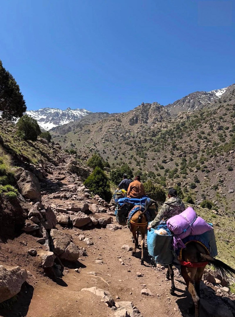
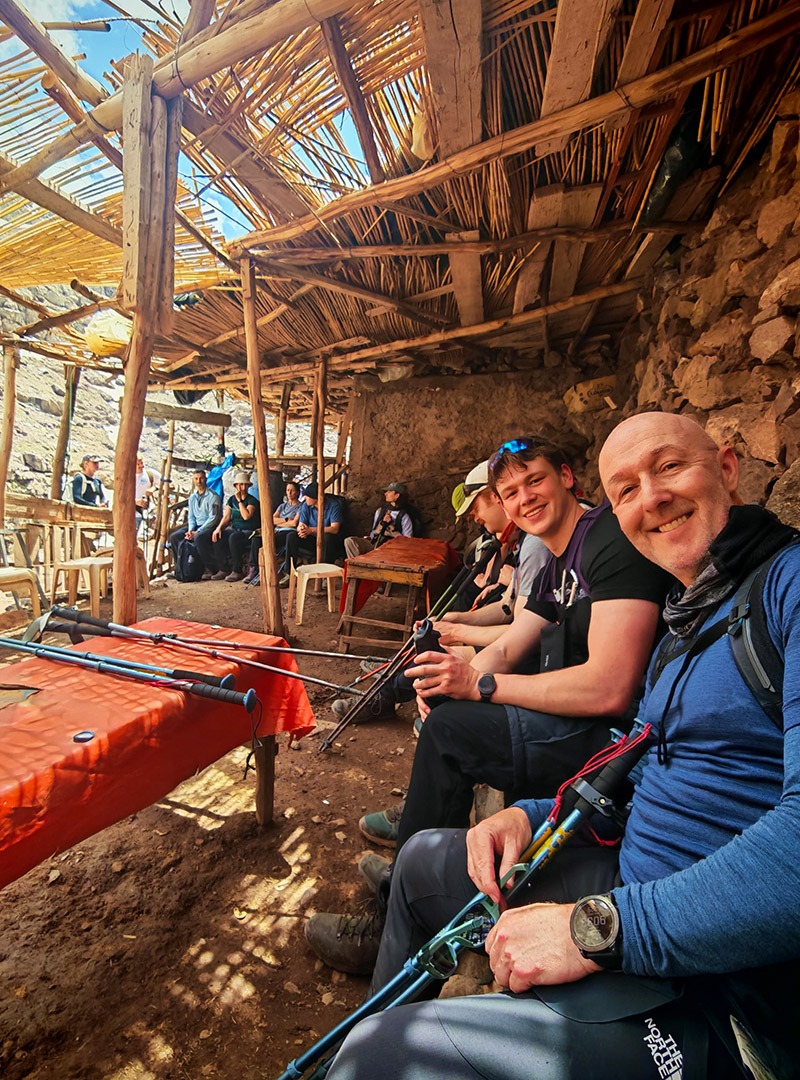
It’s not an experience you’re likely to find on mountain trails in Europe, and it really adds to the character of the trek. Watching the donkeys navigate the rocky paths while carrying everything needed to support life high in the Atlas Mountains was something we never got tired of seeing.
As the hours passed, the landscape became increasingly rugged. The trees gradually disappeared, vegetation became sparse and the mountains started to take on a much more alpine appearance despite being in North Africa. The trail is also very exposed for much of the day. Shade is limited and the Moroccan sun can be intense, particularly as you climb higher, so make sure you carry plenty of water, wear suitable clothing and keep the sun cream topped up.
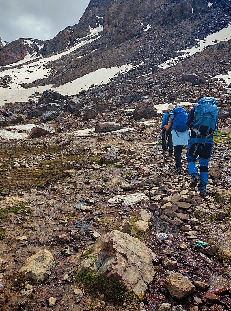

The final climb to the refuge started to feel a little harder, probably because we had climbed beyond 3,000 metres. The effects of the altitude became more noticeable and the final section seemed to drag on longer than expected. Eventually, the refuge appeared ahead beneath the imposing slopes of Mount Toubkal itself.
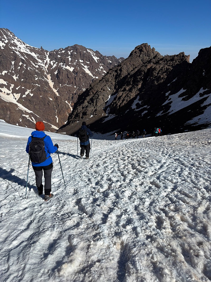
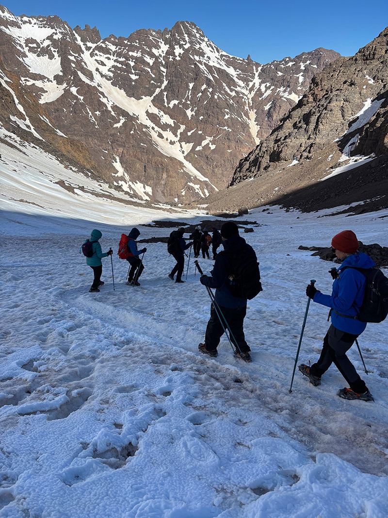
We completed the trek in late May and were surprised to find snow still covering much of the area around the refuge. There was no real issue getting through it though. Clear paths had been worn through the snow, making progress straightforward, but you still need to take care as some sections can be slippery and hidden holes begin to appear as the snow thaws.
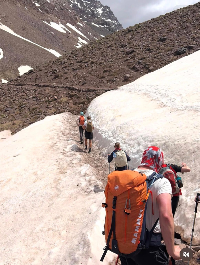
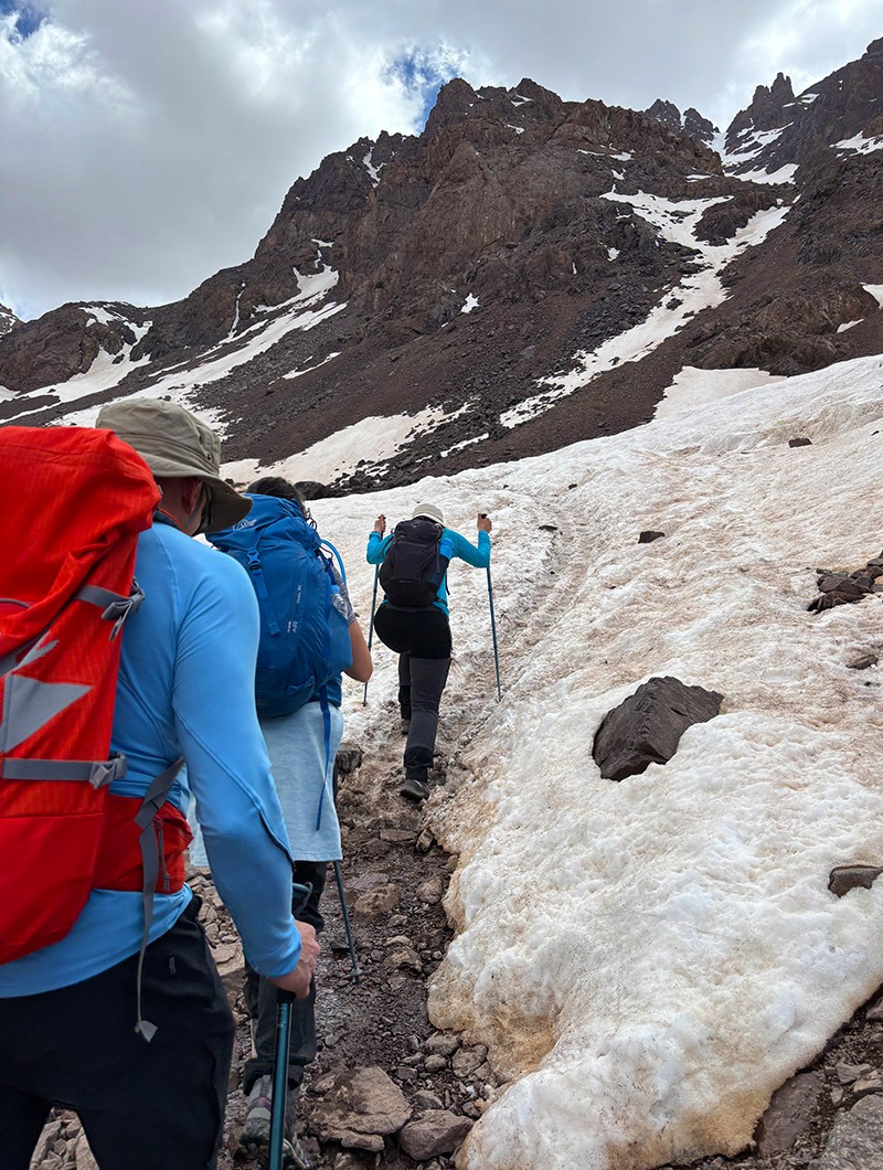
At 3,207 metres, the Refuge du Toubkal, often referred to as the Neltner Hut, serves as the main base camp for climbers attempting North Africa’s highest mountain. Built by the French Alpine Club in 1938 and named after French geologist Louis Neltner, it has welcomed generations of mountaineers and trekkers on their way to the summit.
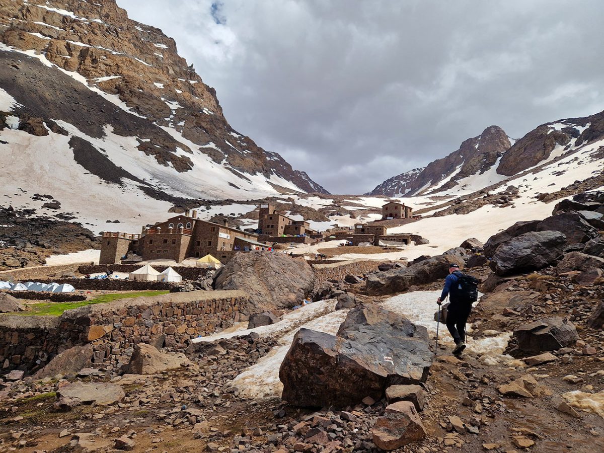
After a long day on the trail, it wasn’t long before dinner was served. Once you’ve eaten, it’s worth getting your kit organised for summit day as early as possible. The refuge generators only provide electricity for a limited period during the evening, roughly between 6:30pm and 8:30pm during our stay, which is your opportunity to charge devices, sort your bags and prepare your clothing for the morning ahead.
Before long, people start heading to bed. With alarms set for around 2am and a light breakfast before departure, most trekkers are keen to grab a few hours of sleep before setting off into the darkness for the climb to the summit of Mount Toubkal.
Day 3 – Summit Day (4,167m)
Everyone’s alarms started going off between 2:00am and 2:30am, that’s if you managed to sleep at all. This is why I’d strongly recommend taking an eye mask and a good pair of ear plugs, as they will make a huge difference.
There are several dozen people sharing the dormitories, so as you can imagine you get a mixture of the old hands who have done this sort of thing before, those who are excited about reaching the summit and those who are understandably a little nervous about the challenge ahead. With everyone knowing they are about to set off on a climb to the highest point in North Africa, there is a real sense of anticipation in the room.
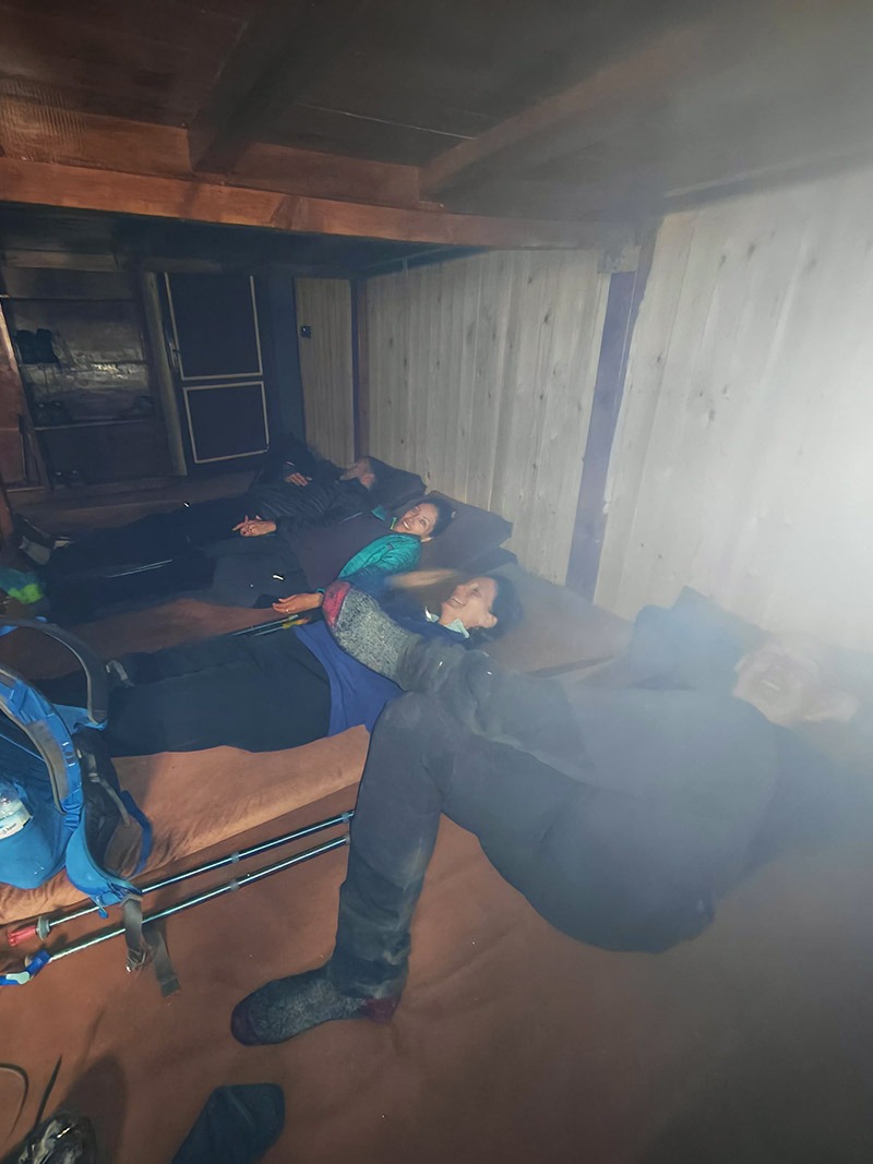
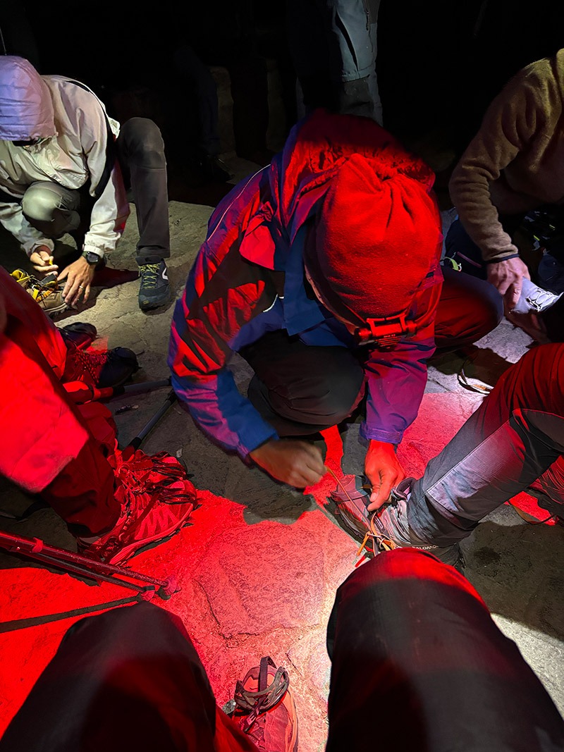
To be fair, I managed to sleep reasonably well, but the beds aren’t particularly comfortable and the constant movement, rustling bags, headtorches switching on and people quietly preparing their kit meant it certainly wasn’t the best night’s sleep I’ve ever had. Still, for one night and with a summit attempt ahead, it’s all part of the experience.
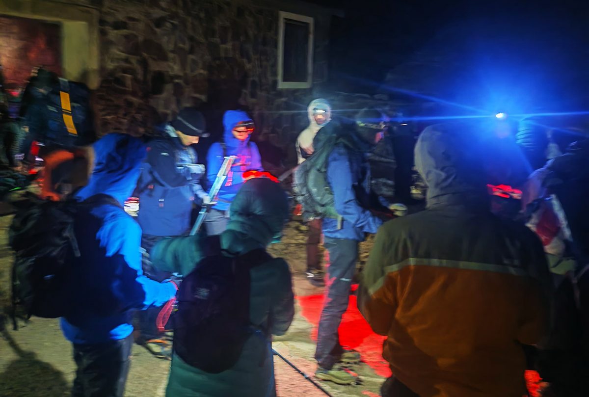
Once you’re up, you see the refuge slowly start to come alive, with headtorches flickering on around the room as people quietly gather their kit together. Breakfast was simple but, to be honest, at that time in the morning I can’t eat very much. I had enough to get going, knowing I could always top myself up later with some nuts, an energy bar or a gel from my backpack.
Most people kept conversation to a minimum as they focused on eating, filling water bottles and making final adjustments to layers, gloves and backpacks before heading outside into the darkness. Despite the early hour, there was definitely a sense of excitement in the air. After two days of trekking and acclimatisation, summit day had finally arrived.
Stepping out of the refuge was a bit of a shock. Although it had been warm in the valley during the previous day, temperatures at over 3,200 metres before sunrise were considerably cooler. The headtorches were already stretching out across the mountainside ahead of us, creating a long chain of lights slowly winding its way towards the summit of Mount Toubkal.
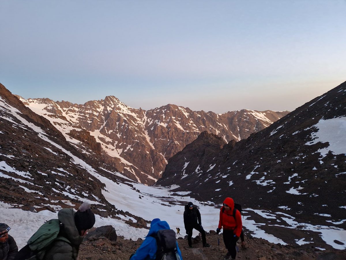
The first section of the climb was surprisingly straightforward. The trail climbs steadily above the refuge and although you can’t see much beyond the beam of your headtorch, the path is generally easy to follow. Everyone naturally settled into their own pace. The guides repeatedly reminded us that this wasn’t a race and that conserving energy was far more important than speed.
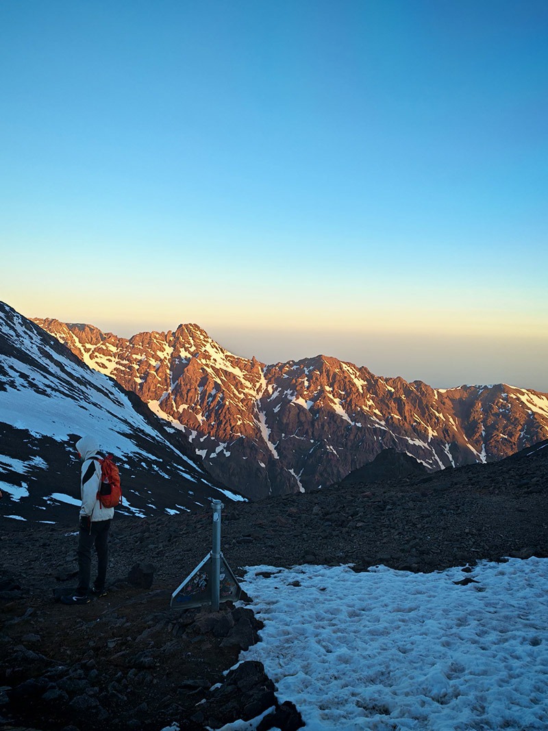
As we gained height, the effects of the altitude became increasingly noticeable. Steeper sections required more frequent pauses and even simple tasks such as adjusting clothing or taking a photograph seemed to leave you slightly more out of breath than normal. Nothing dramatic, but enough to remind you that you are climbing a mountain over 4,000 metres high.
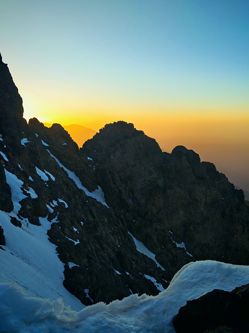
One of the highlights of the entire trip came as the first signs of daylight began to appear behind the surrounding peaks. The black silhouettes of the Atlas Mountains slowly emerged from the darkness before the sky began to glow with shades of orange, red and gold. It was a moment we all took in, and it really gives you a boost, seeing this incredibly beautiful area come alive, and you are not far from the top.
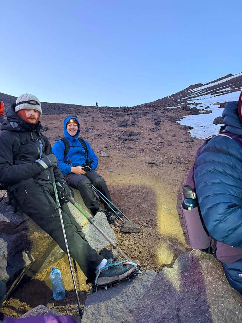
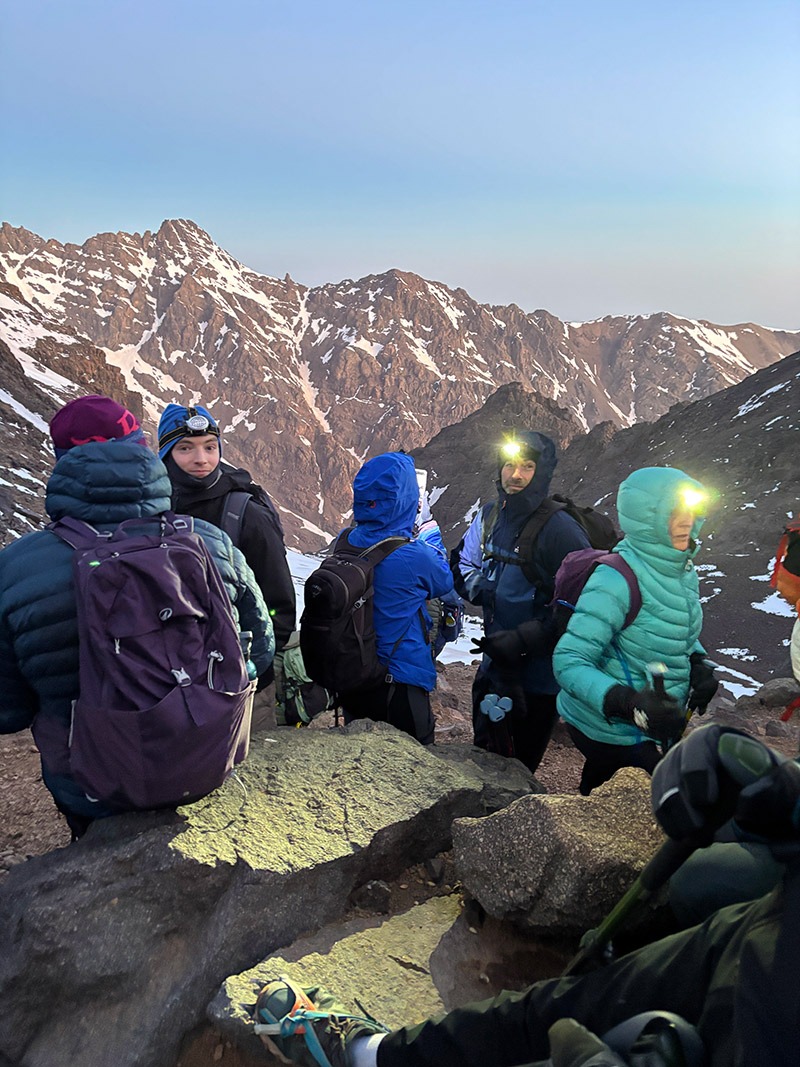
As daylight improved, the route ahead became much clearer. Looking back down the valley, we could see the refuge far below and the huge landscape we had travelled through the previous day. Ahead of us, the summit ridge finally came into view and for the first time it felt like the top was genuinely within reach.
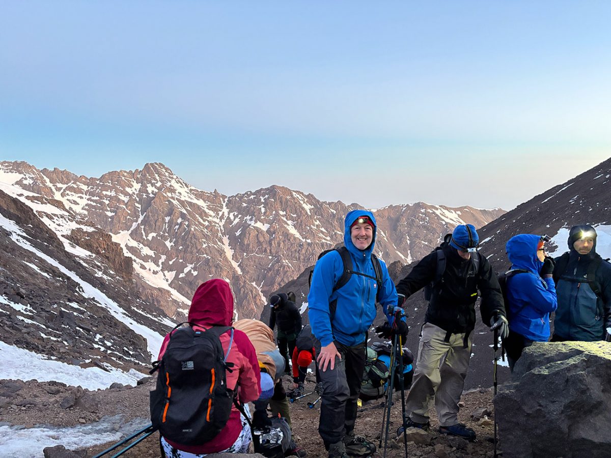
The final section towards the summit was undoubtedly the toughest part of the climb. The gradient steepened and the altitude made every step feel slightly harder than it should. Progress became a steady rhythm of walking, breathing and continuing upwards. Fortunately, the trail itself remained straightforward and there were no technical sections to negotiate during our ascent.
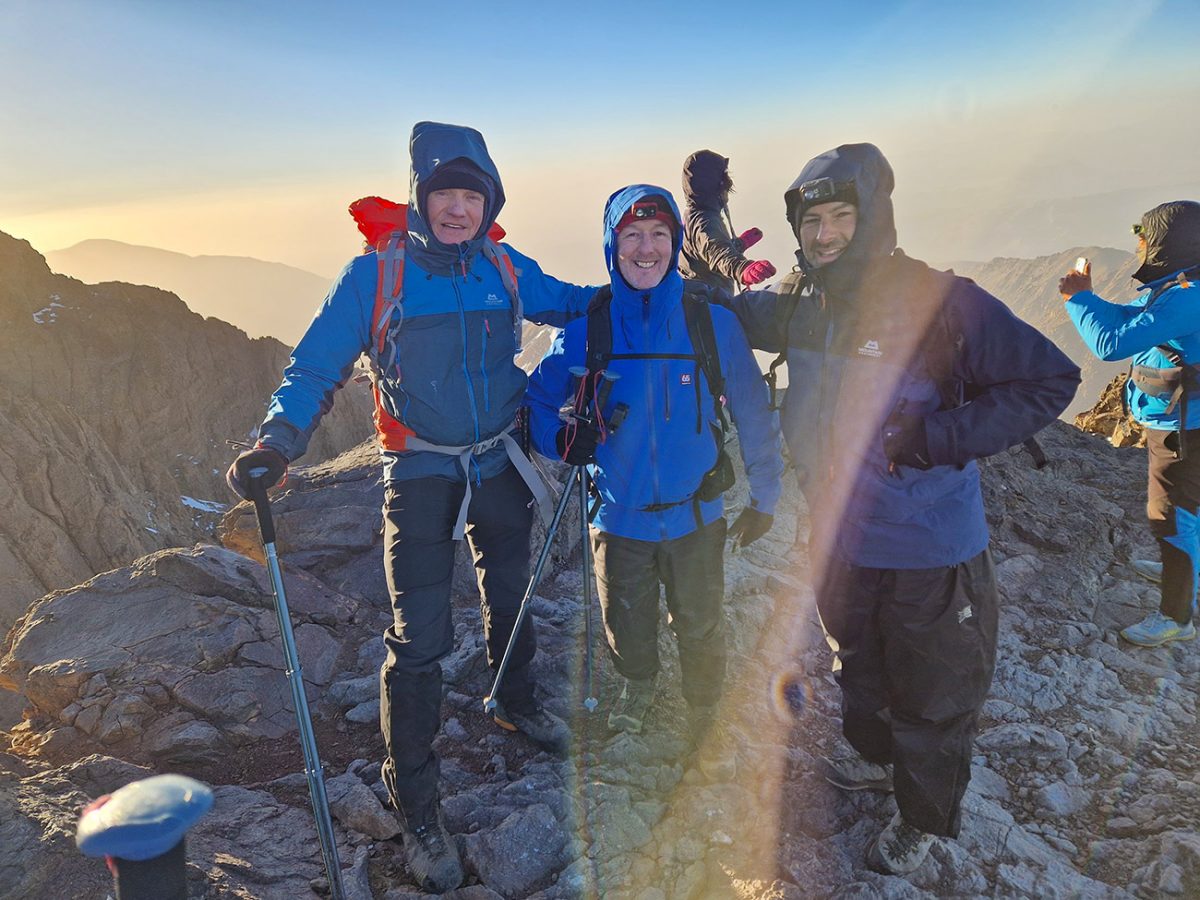
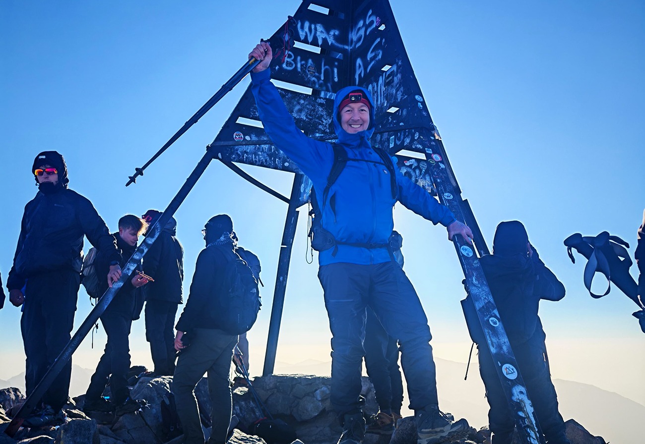
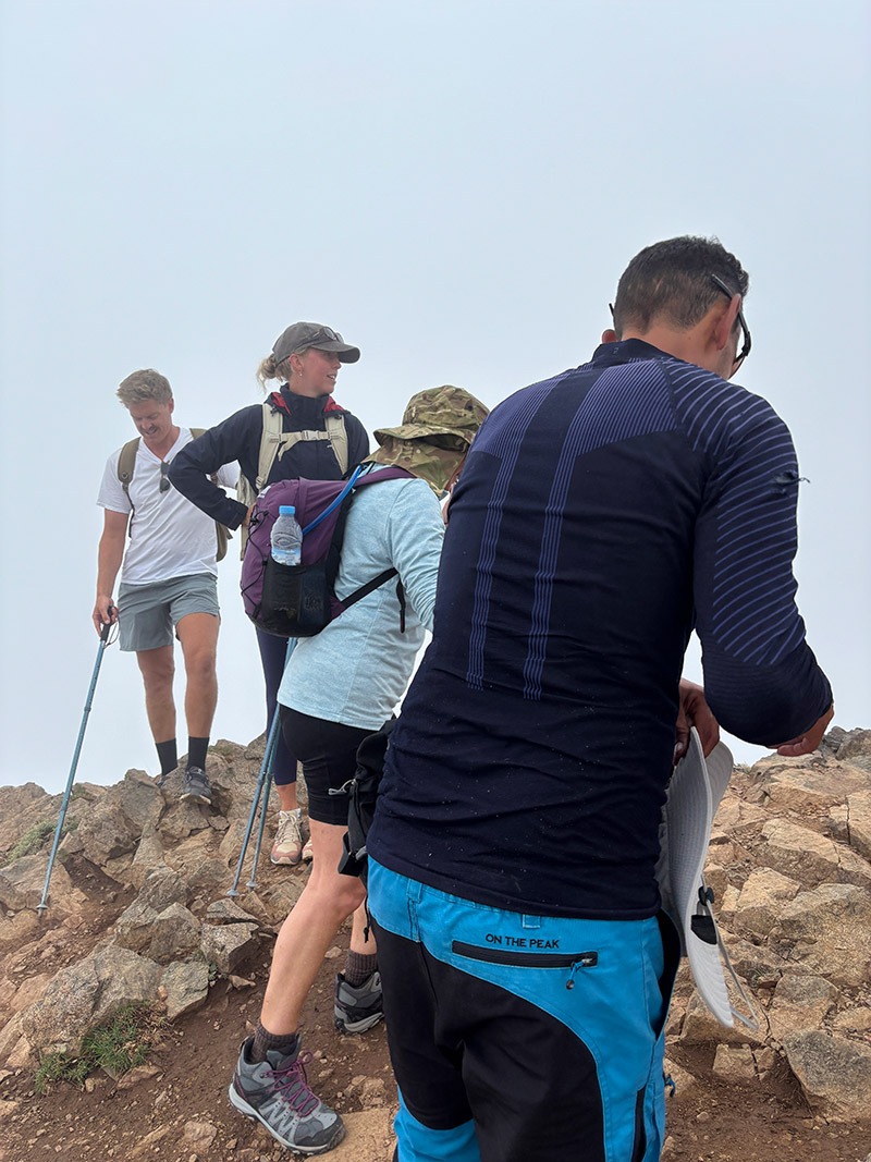
Eventually, after several hours of climbing, the famous summit pyramid appeared ahead. It’s a sight every Toubkal climber is hoping to see and instantly provides a welcome boost of motivation for the final few minutes.
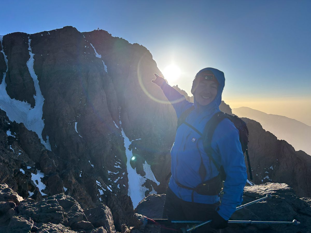
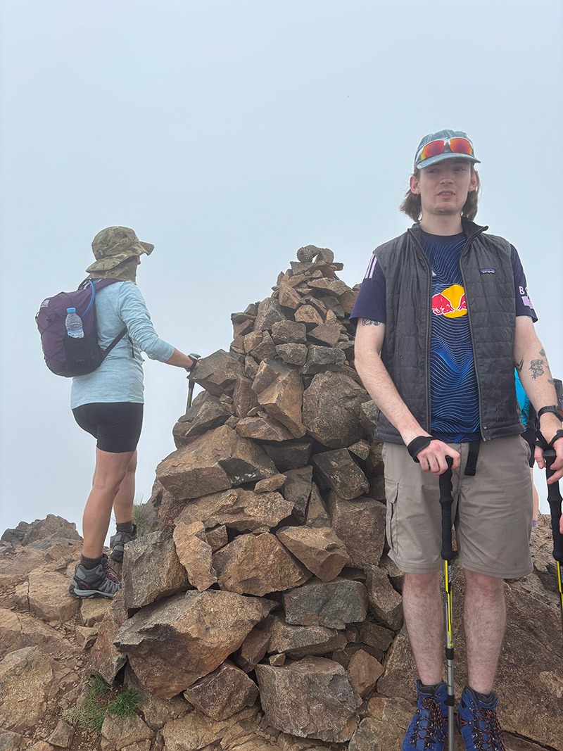
Standing on the summit of Mount Toubkal at 4,167 metres was a special moment. As the highest mountain in North Africa, it offers incredible views across the Atlas Mountains in every direction. On a clear day, visibility seems almost endless and it’s easy to understand why so many people travel from around the world to experience it for themselves.
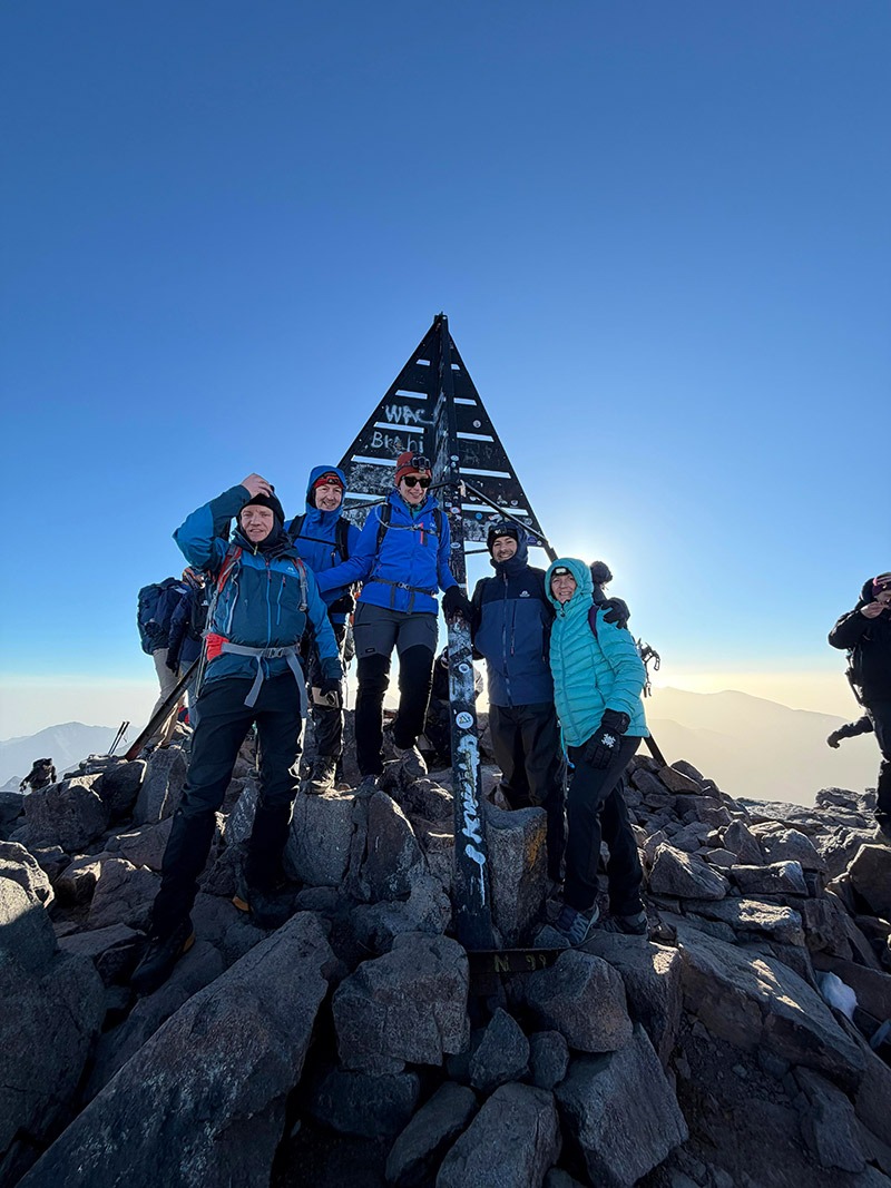
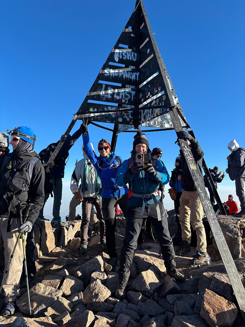
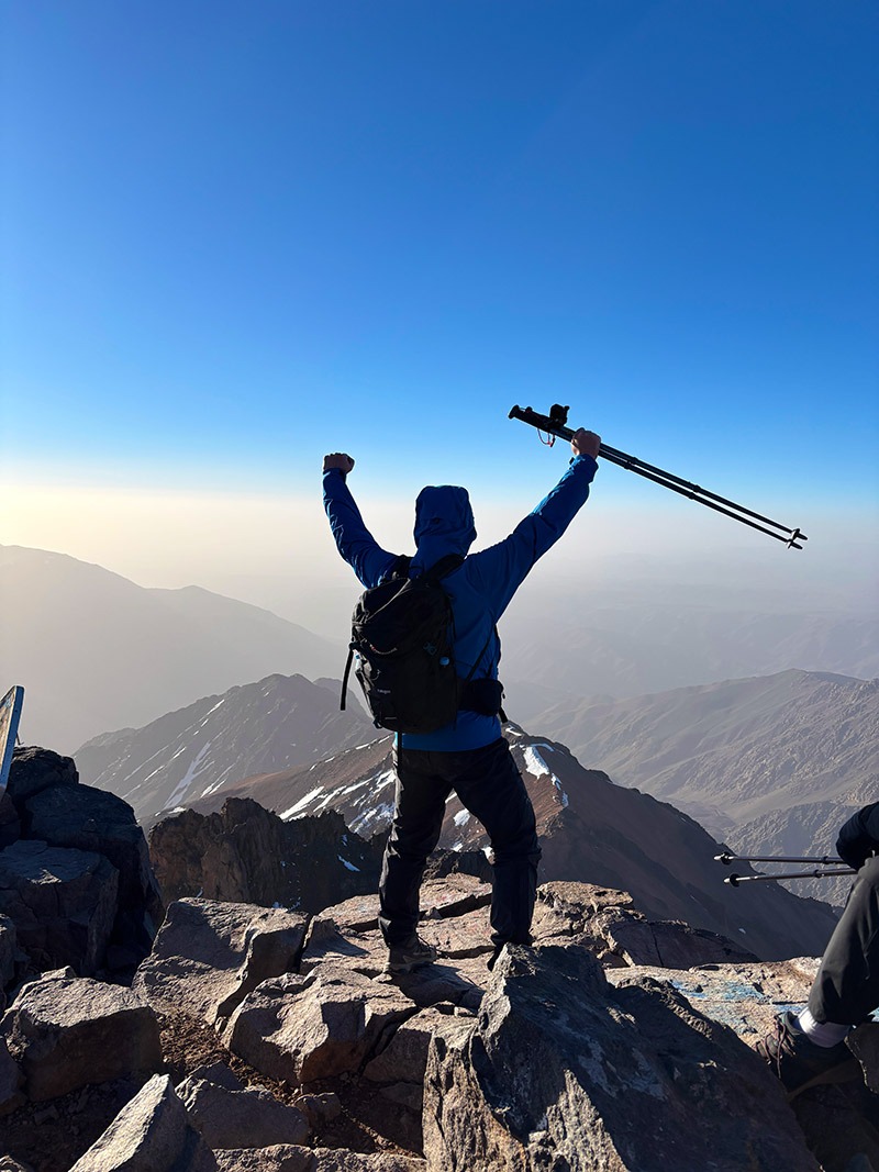
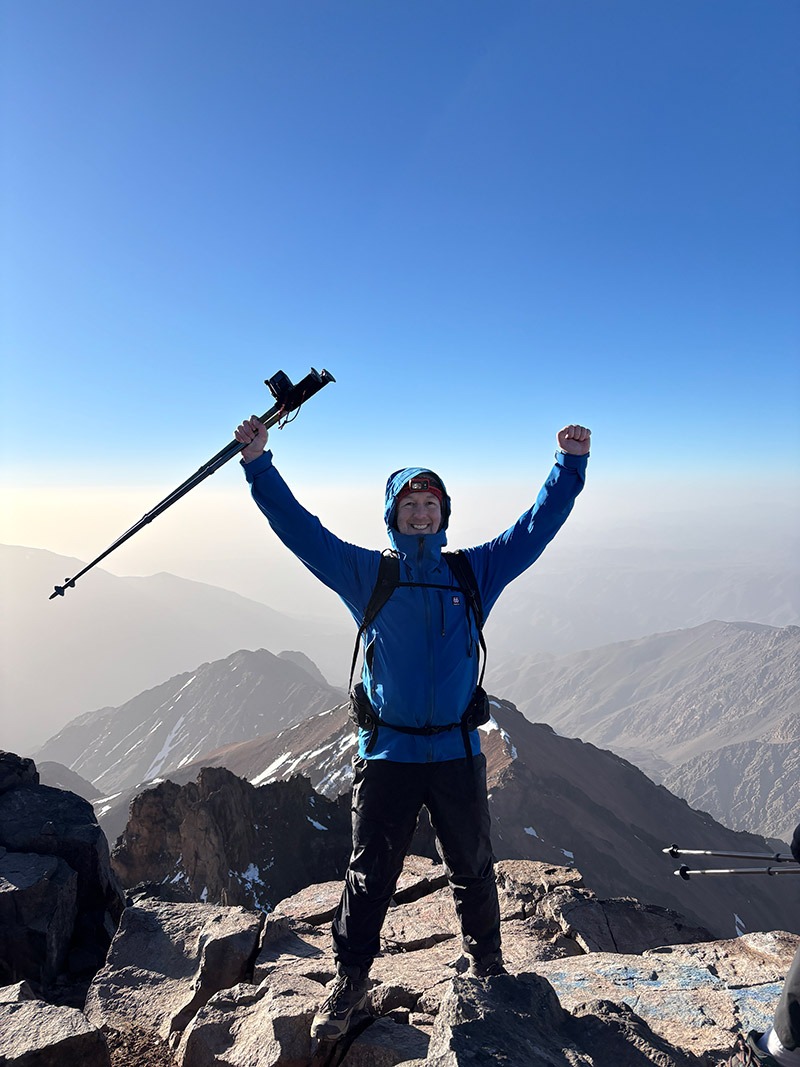
There was plenty of time for photographs, congratulations and simply enjoying the achievement before it was time to begin the long journey back down.
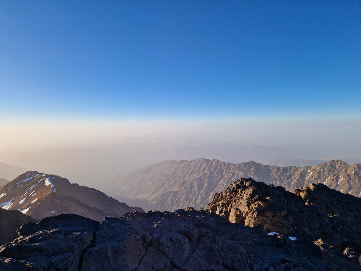
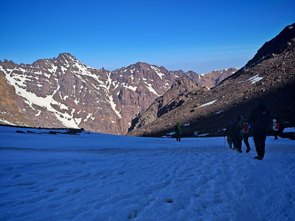
Descending from the summit was much quicker than the ascent, although it still required concentration in places, particularly where snow remained on the trail. Back at the refuge, a well-earned breakfast was waiting and there was an opportunity to repack bags, rest tired legs and reflect on the morning’s achievement.
Of course, the day wasn’t over yet, as we needed to get home!
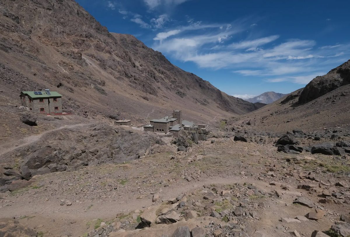
From the refuge, we still had the full descent back to Imlil to do, and although technically easier, the journey down felt surprisingly long. The combination of summit day fatigue, altitude and many hours on your feet gradually starts to take its toll. Thankfully, the scenery remained spectacular throughout and there were plenty of opportunities to stop, rest and enjoy the surroundings one last time.
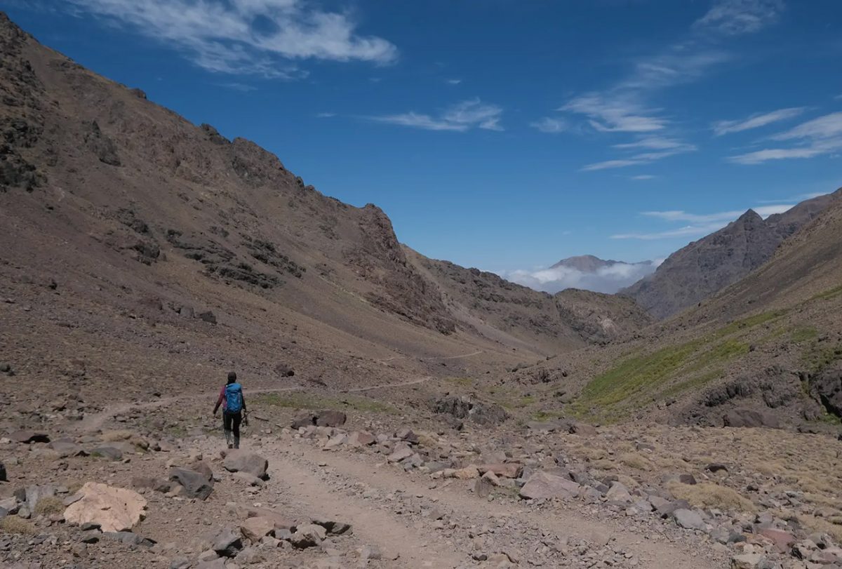
Eventually, Imlil came back into view and with it the end of an unforgettable three-day adventure in the Atlas Mountains. Within a short time we were back in the vehicle heading towards Marrakesh, leaving behind the mountains, the refuge, the donkeys and the summit of North Africa’s highest peak.
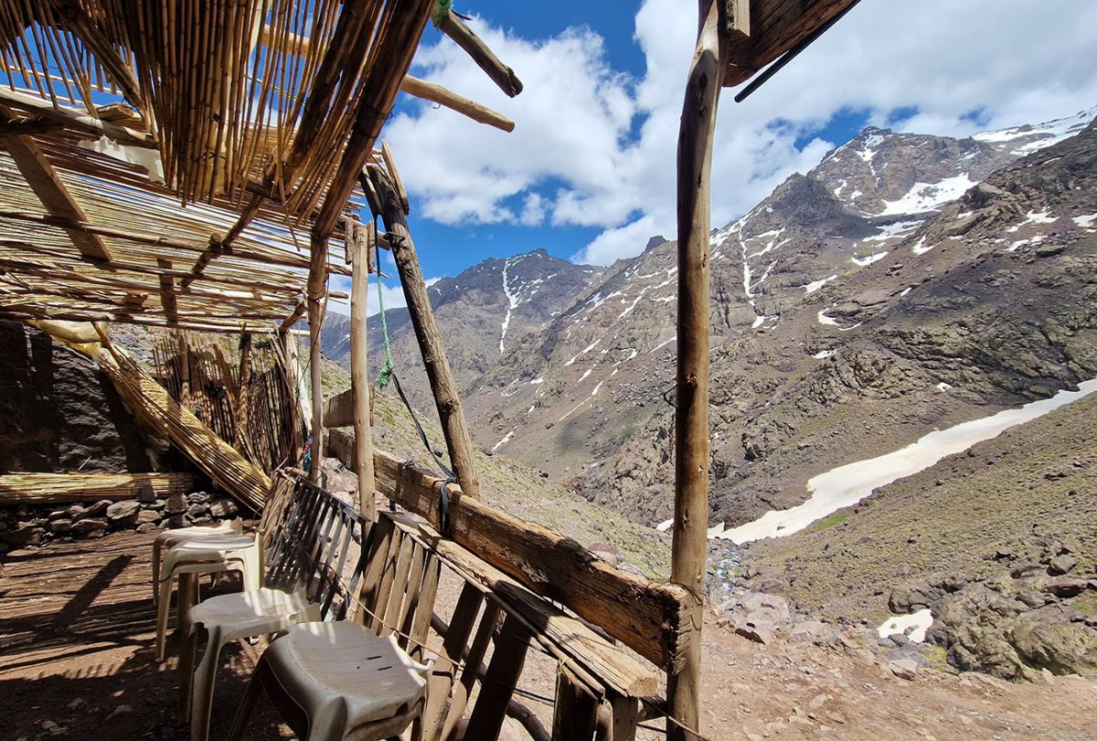
Looking back, reaching the summit was obviously the highlight, but what made the trip memorable was the entire experience. The local guides, the mountain villages, the people we met along the way and the ever-changing landscapes all combined to create an adventure that felt very different from anything I’ve experienced in Europe.
What Was the Altitude Like?
For me, the altitude was noticeable but manageable. Above around 3,800 metres I found myself breathing harder on the steeper climbs and it took a little longer to recover during rest stops. I also noticed that bending over to adjust boots, reach into my backpack or pick something up seemed to leave me more out of breath than the walking itself, and you do get a sense of being dizzy.
My advice would be to take your time, particularly during the early stages of the climb. It’s tempting to try and keep up with faster walkers, or push the pace yourself as you feel good but I found that settling into a comfortable rhythm, taking deep breaths when needed and maintaining a steady pace made a huge difference. Once my body adjusted to the effort, I felt much stronger and more comfortable higher up the mountain.
The acclimatisation hike on Day 1 certainly helped, as did drinking plenty of water and avoiding the temptation to rush. Within our group, some trekkers experienced mild headaches while others appeared completely unaffected, which seems fairly typical at this altitude.
Before the trip, I had been told that people who suffer from travel sickness can sometimes be more susceptible to feeling the effects of altitude. Whether there’s any truth in that or not, I decided to take travel sickness tablets in the days leading up to the climb. Was that the reason? I honestly couldn’t say. What I do know is that I felt good throughout the trek and fortunately experienced very few altitude-related issues.
Was It Worth It?
Without a doubt, it was! I personally loved it.
Toubkal offers a rare opportunity to experience a genuine high-altitude mountain expedition within easy reach of Europe. In just three days you can travel from the busy streets of Marrakesh to the highest point in North Africa, passing through traditional Berber villages and some spectacular mountain scenery along the way.
For anyone looking to experience their first 4,000-metre peak, Toubkal is a fantastic place to start.

AllTrails: Trail Guides & Maps for Hiking, Camping, and Running | AllTrails ‘Plus’ 30% OFF – Read my ‘Full Review‘ for more details.
Places To Stay
Most visitors tackling Mount Toubkal stay in Imlil, the small mountain village that serves as the gateway to the High Atlas Mountains. Imlil offers a range of guesthouses, riads and mountain lodges, making it an excellent base for exploring the area before or after your trek.
For my trip, I booked a 3-day guided Mount Toubkal trek through GetYourGuide, which included all accommodation, meals on the trek, transfers from Marrakech, and the services of a local mountain guide. This made the logistics incredibly straightforward, with an overnight stay in an Imlil guesthouse before spending the second night at the Toubkal Refuge high in the mountains.
If you prefer to spend a little longer in the region, it’s also worth considering a few nights in Marrakesh before or after your trek. The city is only around 90 minutes from Imlil and offers a fascinating contrast to the mountains, with its bustling souks, historic medina and vibrant atmosphere.
Browse Mount Toubkal guided treks and accommodation options on GetYourGuide here:
Mount Toubkal 3-Day Trail FAQs
How many days do you need to climb Mount Toubkal?
Is Mount Toubkal difficult?
Do you need a guide to climb Mount Toubkal?
Where does the Mount Toubkal trek start?
Where do you stay when climbing Mount Toubkal?
What is the altitude of Mount Toubkal?
Did you feel the altitude on Mount Toubkal?
What should you pack for Mount Toubkal?
Is there snow on Mount Toubkal?
Is Mount Toubkal worth climbing?

Walk this route yourself in 3D!
The video is a 3D walkthrough of this route; it’ll give you a great idea of what to expect before you set foot on the mountain.
I’ve created 3D videos of my walks and shared them with the Outdooractive and Welsh Man Walking communities.

Water-to-Go Named Best Water Bottle for Travel. Click www.watertogo.eu + 20% Discount Using – ‘WMW20’
Disclosure: I may earn a commission if you buy via the links on this page — at no extra cost to you.