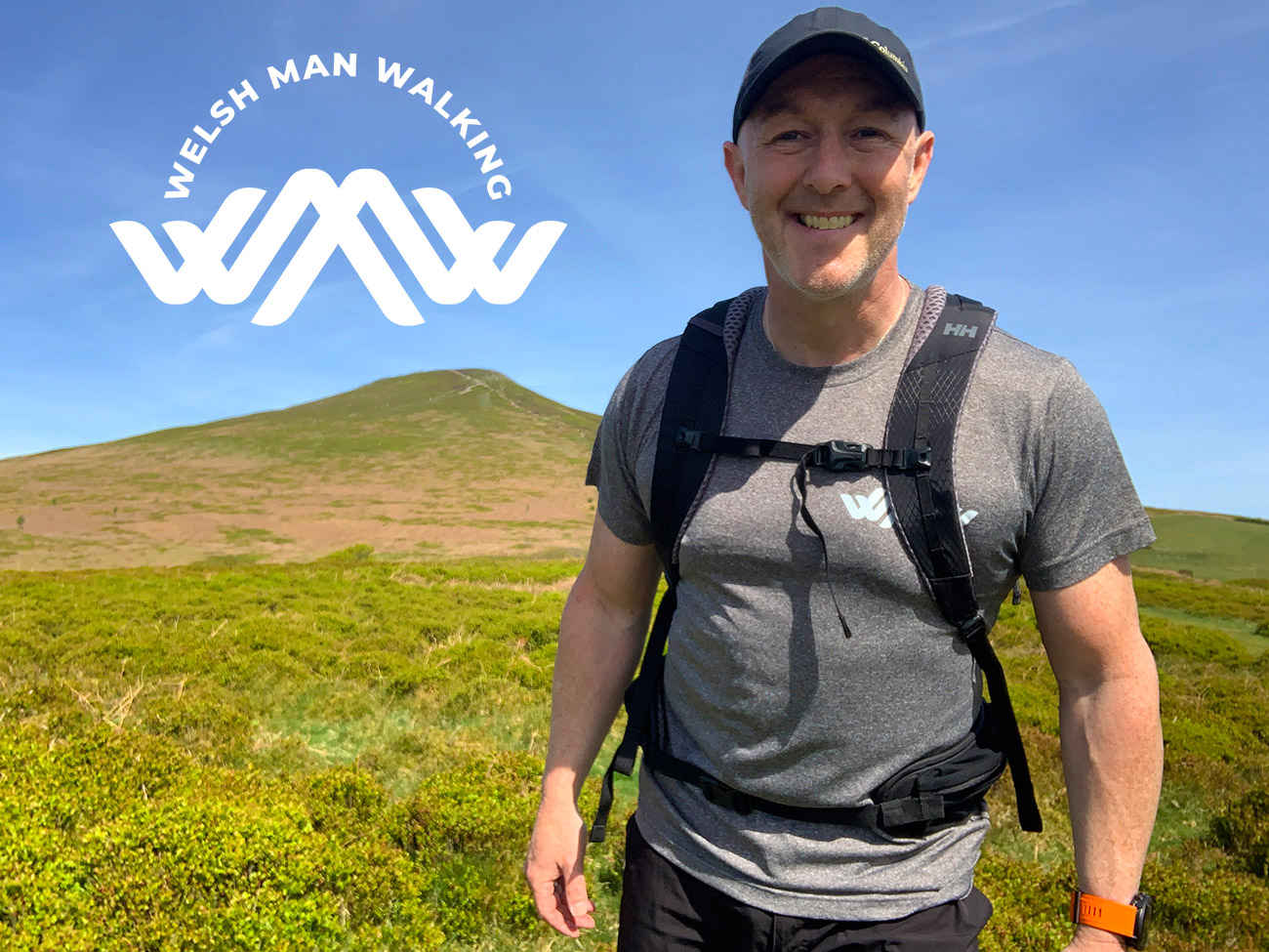


Region: Crickhowell, Black Mountains, Bannau Brycheiniog National Park, Wales
Walk summary: This nine-mile anticlockwise circular walk from Crickhowell climbs steeply to Table Mountain and Pen Cerrig Calch before descending through farmland, crossing the A40 and returning through the Glanusk Estate, Llangattock and the Monmouthshire and Brecon Canal. It has 2,323ft of ascent and takes approximately 4½–5 hours.
| Distance | 9 miles / 14.5km |
|---|---|
| Ascent | 2,323ft / 708m |
| Time | Approximately 4½–5 hours |
| Difficulty | Difficult — two steep climbs, exposed mountain ground, a long descent and a busy road crossing |
| Route | Anticlockwise circular walk |
| Start and finish | Crickhowell |
| Main summits | Table Mountain and Pen Cerrig Calch |
| Suitable for | Experienced walkers and fit dogs; not recommended for young children or inexperienced beginners |
This Table Mountain and Pen Cerrig Calch circular walk is far more than a short climb above Crickhowell. It links two steep mountain ascents with open Black Mountains scenery, farmland, the Glanusk Estate and a relaxed canal-side return from Llangattock.
The variety is excellent, but do not underestimate the route. After the steep ascent to Table Mountain, a longer climb remains to Pen Cerrig Calch. The mountain is exposed to wind, some lower paths can be obscured by summer vegetation, and the route later crosses the fast and busy A40.
Staying overnight? Find accommodation in Crickhowell or read my guide to the best places to stay in the Bannau Brycheiniog.
Table Mountain and Pen Cerrig Calch map, GPX and parking
- Sunday parking: We started at Crickhowell Secondary School car park. It is free but available to walkers on Sundays only.
- Other days: Use an authorised public car park in Crickhowell and join the route from the town. Check current signs, charges and restrictions when you arrive.
- GPX: Download the complete circular-walk GPX.
- Route app: Follow the route on my Outdooractive and Komoot profiles.
- Public transport: Buses connect Abergavenny and Crickhowell. The nearest railway station is in Abergavenny.
- Facilities: Crickhowell has public facilities, cafés, pubs and shops, but there are no guaranteed facilities on the mountain section.
Several paths cross the mountain, farmland and estate sections. Heavy vegetation can make the correct line difficult to recognise, so download the GPX before setting out and carry a suitable backup navigation method.
Table Mountain and Pen Cerrig Calch route description
From the secondary school car park, turn left and walk towards the petrol station. Turn left again, cross carefully and take the first right onto Llanbedr Road. This places you on part of the Cambrian Way as you begin climbing away from Crickhowell.


Continue along Great North Road. Near The Wern, follow the signed public right of way through the farm and fields towards Table Mountain, closing gates behind you. The route becomes increasingly steep as it approaches the mountain.


The steep climb to Table Mountain
Table Mountain soon becomes prominent ahead. Follow the recorded route around its lower slopes and begin the steep ascent to the flat-topped summit. This is the first demanding climb of the walk, so settle into a sustainable pace rather than rushing it.


Table Mountain, also known as Crug Hywel, stands above Crickhowell and contains the remains of an Iron Age hillfort. Its position provides superb views over the town, the Usk Valley and the surrounding Black Mountains.
We stopped here for food and to explore the summit earthworks. It would be easy to treat this as the main achievement, but the highest and longest climb is still ahead.
Climbing Pen Cerrig Calch
Leave Table Mountain and continue north towards Pen Cerrig Calch. The route initially loses some height before beginning a long, steep ascent to the 701-metre summit. Do not underestimate this second climb: it is sustained, exposed and harder than it can appear from Table Mountain.
The upper mountain is frequently windy, even when Crickhowell feels sheltered. Carry layers and waterproofs, and reconsider the high section when poor visibility or severe wind exceeds your experience.

Descending through the farmland
From Pen Cerrig Calch, follow the GPX southwest and begin the long descent from the open mountain. Paths become less obvious lower down, particularly where vegetation is high or fields have recently been worked.
Remain on the public rights of way and use gates and stiles. Do not climb fences or create a new line across private land. Mud and wet grass can make this section slippery after rain.
Crossing the A40 to the Glanusk Estate
The route reaches the A40, a fast and extremely busy road. Use the straight section where you can see approaching traffic clearly, wait for a generous gap and cross with great care. Keep children and dogs under very close control.
After crossing, walk beside the road towards the signed entrance to the Glanusk Estate. Traffic remains the principal hazard here, so stay alert until you leave the roadside and enter the estate.


Follow the public route through Glanusk, crossing the bridge and continuing through the estate. Look back for a clear view towards Table Mountain and Pen Cerrig Calch—the two climbs now appear much more substantial from the valley.
Canal walk through Llangattock
Continue towards the coach house and follow the GPX beyond the arch. After crossing the road near the canal bridge, descend onto the Monmouthshire and Brecon Canal towpath for the gentlest part of the day.


Leave the canal at Llangattock, descend through the village and cross the River Usk back into Crickhowell. The final climb through town returns you to the school car park or whichever authorised public car park you used.
A shorter Table Mountain option
It is possible to shorten this circuit by omitting the climb to Pen Cerrig Calch. After visiting Table Mountain, follow an appropriate connecting path to meet the descent line used by the full route. This creates a different walk with different measurements, so do not use the nine-mile distance, 2,323ft ascent or full-route GPX for the shortened version.
There are many possible routes around Table Mountain. This guide and its GPX describe the complete circuit through Pen Cerrig Calch, Glanusk and Llangattock.
Table Mountain walk practicalities
- Parking: The secondary school car park is free for walkers on Sundays only. At all other times, use an authorised public car park in Crickhowell.
- Difficulty: Difficult. The short, steep ascent to Table Mountain is followed by a longer sustained climb to Pen Cerrig Calch.
- Navigation: Carry the GPX and a backup. Some farmland paths become difficult to identify when vegetation is high.
- Underfoot: Roads, field paths, steep mountain trails, exposed upland ground, estate tracks and canal towpath. Mud and wet grass can be slippery.
- Weather: Table Mountain and Pen Cerrig Calch are exposed. Expect strong wind, colder temperatures and rapidly reduced visibility.
- Road safety: The A40 crossing requires patience and excellent visibility. Never rush across or follow the GPX blindly into traffic.
- Children and beginners: Not recommended for young children or inexperienced beginners because of the length, climbing, navigation and A40 crossing.
- Dogs: Suitable for fit dogs under close control. Use a lead around roads, farmland and any livestock encountered.
- Food and toilets: Use facilities in Crickhowell before or after the walk and carry everything needed for the route.
Table Mountain and Pen Cerrig Calch FAQs
How long is the Table Mountain and Pen Cerrig Calch circular walk?
How long does the walk take?
Where can I park for the walk?
Is the Table Mountain circular walk difficult?
Does the route climb Pen Cerrig Calch?
Can I complete a shorter Table Mountain walk?
Is the route suitable for beginners or children?
Can dogs complete the walk?
Does the route cross the A40?
More walks near Crickhowell: Explore my Black Mountains walking guides for more routes around Crickhowell and the surrounding peaks.