


Region: Stavanger, Norway
Place To Stay: Stavanger is the closest city to Lysefjord, and is more than likely where you will fly into. You can stay in or near Stavanger, although you may want to base yourself in the rural areas on both sides of the fjord: Stay in Stavanger | Lysefjord Rural Accommodation
For a wider choice of accommodation in Stavanger, Booking.com has a huge variety to browse through.
Staying in Borestranda, Kleppe we drove to the start of this hike, and although quite expensive with the tolls, the drive through the long tunnels was a great surprise. We were shocked by how long they are; one of them is over 14km long!
It took us just over an hour and once we got to the Preikestolen Fjellstue mountain lodge, we found a parking space, had a look around the various shops and cafes there, used the toilets, then set off on the 8km round trip, which takes around 4 hours, but you may be longer due to the views and loads of sitting areas to take it all in.
If you want to avoid crowds at Preikestolen (Pulpit Rock), start the walk very early morning, and you will experience a bit of magic when the sun rises. Or just go in the afternoon, we got there around 11.30am, the lower car park was pretty full by then, and it was still very early in the season at the end of May. There is an upper car park, so google maps them both so you have options.

We stayed here in ‘Klepp‘, 16km from Stavenger.
If this is helpful to you, we stayed in an area called Boretunet in Klepp, not far from Stavanger. We booked 2 of the places, and enjoyed what the complex has to offer. The biggest selling point for us was its proximity to the beach. You walk 5 minutes, through a dune and a huge beach appears which you get practically to yourself!
With the cars we hired, this was perfect for us, we also found a large supermarket, and could really relax after a long day hiking around the Lysefjord. I’ve linked you to the house here.
An option for you is the Pulpit Rock Guided Hike with pick up options. This is recommended if you are feeling a bit unsure about guiding yourself up and down.
Getting There: Directions, GPX and App Link
The Hiking App I use is ‘OutdoorActive‘ which has a free and Pro version, the Pro version will allow you to download the routes to your phone and use them without using up your data. The reason I mention it is that if you were to download it, below is the link to this route in my hike list on that app, you can follow the arrows and voice on that. I think it is best that you do get the app, as most of these walks are a bit tricky to explain.
- The start point at the lower car park is Preikestolen Fjellstue mountain lodge.
- Find all the car park details here
- The busiest period is from 8am to 4pm, particularly on weekends and during the peak season of June, July, and August.
- Follow this route on the Outdooractive App, it is free, and it will guide you around safely.
- Download my hand crafted *GPX file, and use it on your own guidance devices.
Flying from Heathrow, we flew to Stavanger and then hired cars, Skyscanner found us the cheapest flights, try the widget below.
Hike Map

Hike Profile
- Distance: 5m / 8km
- Duration: 5-6 hours (lots of sightseeing)
- Highest point: 2123ft / 650m
- Difficulty: Difficult (steep short climbs), lots of steps, large rocks to step up on and over, and could be slippery. The sheer vertical cliffs are scary and you need to be well prepared for all weathers.
- Route conditions: Well-worn pathways most of the way around, good walking shoes are a must.

Sim Local can help reduce or even eliminate roaming fees completely. Click here for eSIM data plans worldwide! 10% Discount using ‘WELSHMAN’
Let’s get going – If you need help organising this trip, see links below.
My Stavanger, Norway Resource Kit at the bottom of this page, will help you organise your travel, trips, food and accommodation when planning your visit to Norway, it’s all there to help you plan, give it a go.
The hike for us started at Preikestolen Fjellstue mountain lodge, took us just over an hour to drive there from Kleppe and we arrived at around 11am. It was quite busy but we found 3 spaces, had a look around the shops and cafe and then set off on this beautiful 8km hike as a group of 12, walking almost straight away into the woods.


The trail, which has significant shifts in terrain, includes swampland, forests, and stone stairways built by Nepalese sherpas, I will try and show the different terrains, and not talk about the way to get there, as the path is very obvious and in honesty, I doubt you will be alone, so just follow the crowds.

Walking through the forest is a real treat, the rock paths are very well laid out, the scenery is stunning and we just took our time, and stopped here and there to take pictures. There are occasions where you will be walking up bare granite rock, but it’s mostly paths and steps.


An interesting part of the walk is the swampland, and the very attractive and secure walkways that guide you over them, I guess just after winter a lot of water will gather here, but there is nothing to worry about, these walkways are placed here and there and keep guiding you up to Preikestolen (Pulpit Rock).


At a certain point you leave the forest behind and come up to a plateau as you edge closer and closer to the main place. You are heading towards the fjord as well as Prekeistolen, and here and there are small ponds that had people in them cooling down, having a swim and having fun.

OK, that’s the path up done, what I need to show is Preikestolen itself, people having their pictures taken, the unreal panoramic fjord views that almost feel computer generated. It honestly feels like you are watching a film, the beautiful blue water, the green and the view where you see the fjord come to an end with a haze around it, it’s hard to describe, so instead I’ll post my pics here, that will explain it better.


What a place! You have to do it if you come to this part of Norway, and as you will see one of the pics is from above it, which you can get to in a few places. Just keep an eye on the people and they will show you.
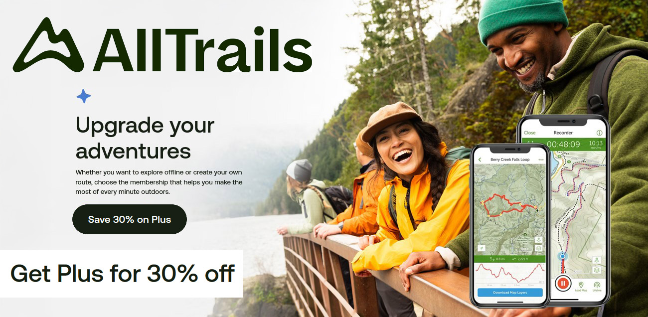
AllTrails: Trail Guides & Maps for Hiking, Camping, and Running | AllTrails ‘Plus’ 30% OFF – Read my ‘Full Review‘ for more details.
So, we spent a few hours just resting, taking in the views, having a wonder around, Nick got his drone going, and once ready we started to head down as we fancied an ice-cream and a coffee and the ‘Hikers Cafe’. The ice cream is amazing, give that a try for sure, and just to remind you there is a nice shop there and very good toilet facilities, so all in all it’s a fantastic full day experience for all the family.
– Find accommodation in Norway with Booking.com


An option for you is the Pulpit Rock Guided Hike with pick up options. This is recommended if you are feeling a bit unsure about guiding yourself up and down.
That’s it, you’re all done, and I hope you have had a great experience, and have had great weather.

It is worth downloading this route onto the Outdooractive app, it’ll re-assure you time wise and that you’re not heading in the wrong directions. There is so much space up there and lots of alternative paths you could accidently join.


Walk this route yourself in 3D!
The Video is a 3D walk through of this route; it will give you a unique sense of having walked through the route before you start.
Hiking to Preikestolen (Pulpit Rock), the flat top tower that gives you a viewing platform 604 metres above the Lysefjord. This is one of the most popular mountain hikes in Norway, with over 300,000 hikers visiting the rock every year. We hiked there in May 2024, and this is how it went.
I have created 3D Videos of my adventures and have shared them with the OutdoorActive community as well as my walking community.
Hike to Preikestolen (Pulpit Rock), Norway’s Most Famous Trek – 3D VideoYou could arrange all your travel, days out, meals and tickets with all the links below. I have used every one of these options in various countries, and I was very pleased.
- Find ‘accommodation’ in and near Stavanger using booking.com
- Find cheap ‘bus‘ & ‘train‘ tickets for your next trip
- Rent ‘cars’ at best prices in all countries
- ‘Tripadvisor in Stavanger‘ – well we all know what this awesome website offers!
- Things to do in ‘Stavanger’, including niche offers you won’t find anywhere else
- Local trips or cross-country, find info and ‘book train tickets’ for popular journeys in the UK and rest of Europe.