


Region: Waun Fach, Bannau Brycheiniog, Wales
Places To Stay: Crickhowell, Talgarth, Brecon & Hay on Wye offer great options for B&Bs, country pubs and self-catering stays. Try: Stay in the Brecon Beacons or browse more Black Mountains Accommodation.
Staying overnight? Check my guide to the Best Places To Stay in the Brecon Beacons
Looking for more Mountain walks? Try Pen y Fan, Llyn Y Fan Fach & Fawr, or the famous Dragons Back, Waun Fach Circular.
Below are a 3 ideas for trips and tours in the Bannau Brycheiniog, GetYourGuide offer great discounts and availability + Many more!
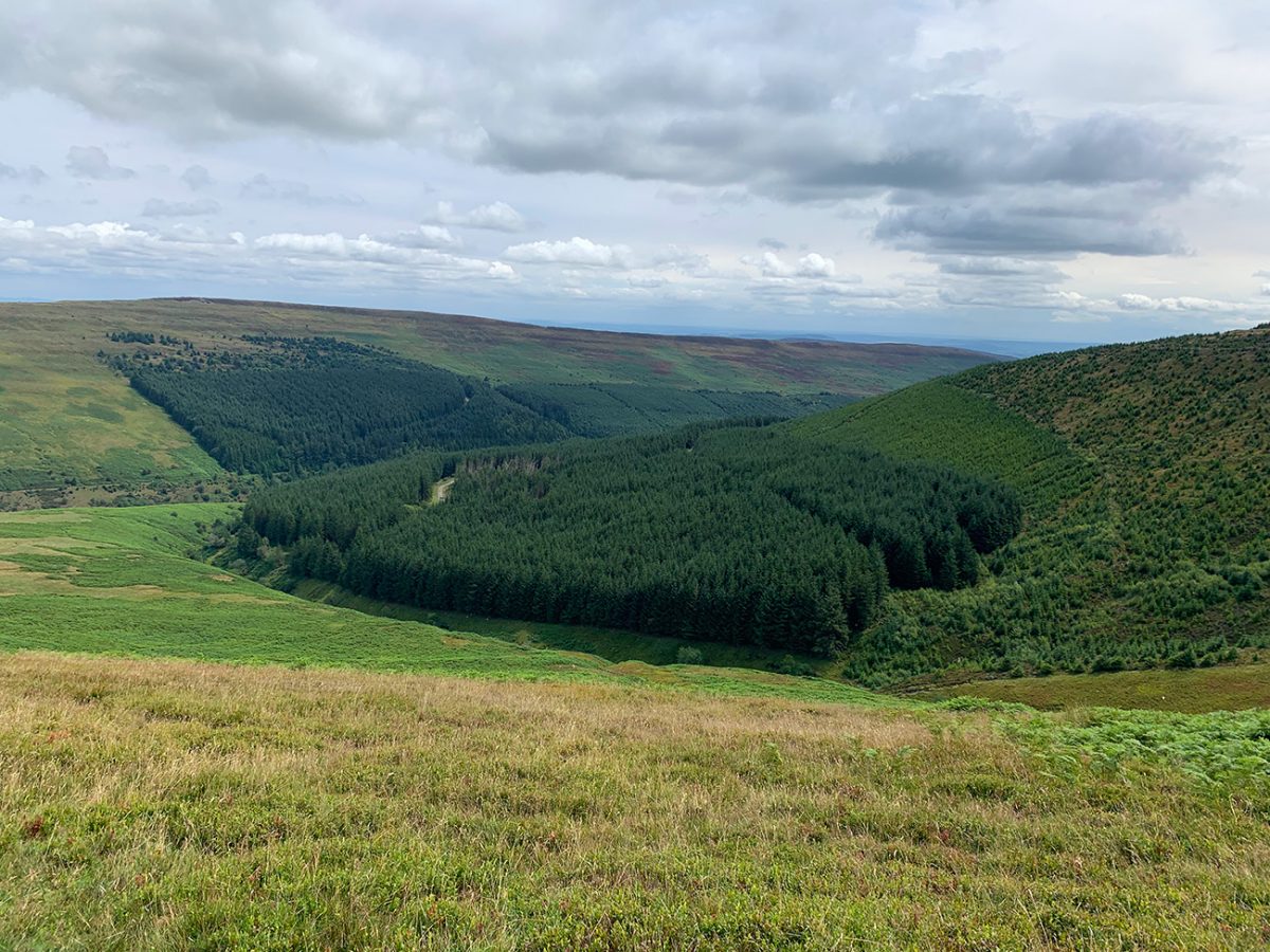
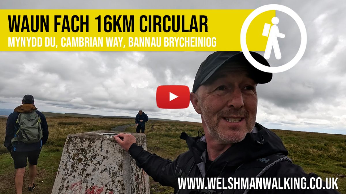
This classic high ridge walk (approx. 16 km / 10 miles) explores the eastern escarpment of the Bannau Brycheiniog (Brecon Beacons) National Park. Starting from Blaen-y-Cwm, it climbs steeply to the airy summit of Chwarel y Fan, the eastern most 2000-footer in Wales, and follows the remote Cambrian Way over Rhos Dirion, Pen y Manllwyn and the eroded dome of Waun Fach, the highest peak in the Black Mountains.
After taking in wide views across the Vale of Ewyas, the return leg passes over Pen y Gadair Fawr before descending through peaty moorland and grassy ridges back to Mynydd Du.
Looking for Cheap Flights? Try the Skyscanner Flight Checker Below.
This is how I find cheap ‘Flight Tickets‘ or travel deals. Flying into Cardiff or Bristol is your best option if coming from afar, then it’s a scenic drive or bus ride westward into Gower.

Ecotalk – The world’s first mobile network to use its profits to restore nature! – Read more here
Getting There: Directions, GPX and App Link
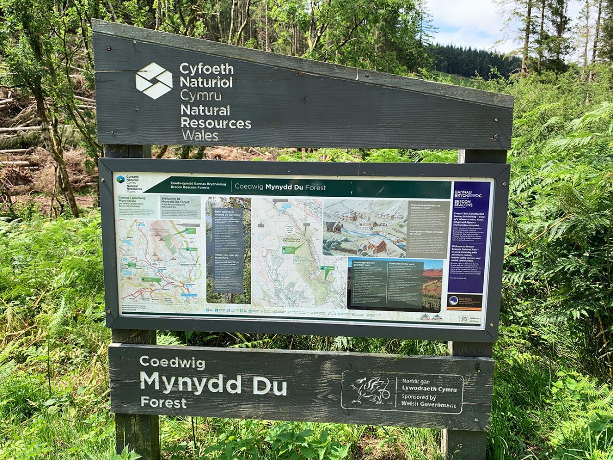
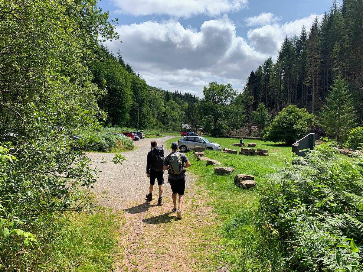
- Start point: Mynydd Du Car Park, Blaen-y-Cwm, near Grwyne Fawr Reservoir (postcode NP7 7LY)
- Google Maps link: Mynydd Du Car Park
- Bus link: None direct – own transport required for this remote valley
- Download the GPX file here for use on your GPS device or watch
- You can also follow this route on my Outdooractive profile
Hike Profile
- Distance: approx 16 km / 10 miles (loop)
- Duration: 4–5 hours
- Highest point: 811 m / 2,661 ft (Waun Fach)
- Difficulty: Moderate to Hard – exposed ridges, remote terrain, long distance
- Route conditions: Grassy and often boggy mountain trails, faint paths in places, good navigation and waterproof boots essential.

Sim Local can reduce or even eliminate your roaming fees. Click www.simlocal.com/ + 10% Discount Using – ‘WELSHMAN’
Hike Description
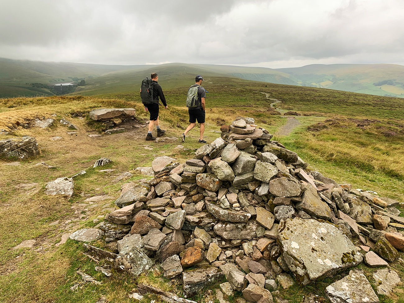
Start at the Mynydd Du Forestry Commission car park in Blaen-y-Cwm and head up past the metal gate following a steep forest track. The trail quickly gains height through the trees before breaking out onto the open slopes of Chwarel y Fan.
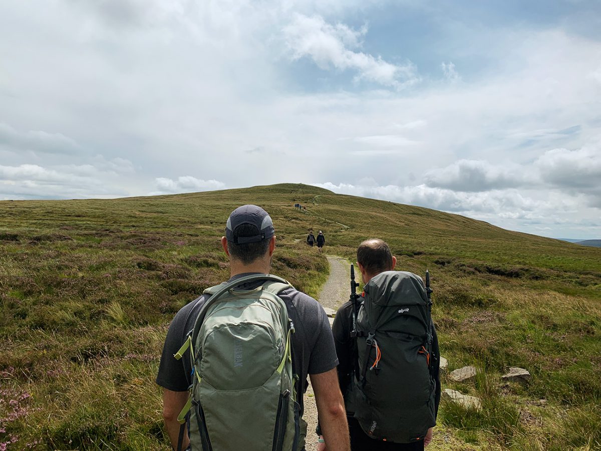
At 679 m, Chwarel y Fan marks the beginning of the high Black Mountains ridge and provides incredible views down to Llanthony Priory and across the Vale of Ewyas. Turn left (north-west) and follow the Cambrian Way path along the ridge, airy, open and rarely busy toward the pointed summit of Rhos Dirion, with its small shelter cairn.

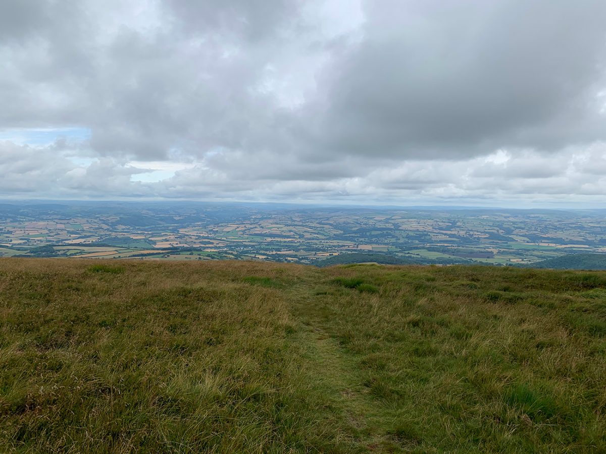
The walk continues northwest to the grassy top of Pen y Manllwyn and onto the broad, peaty dome of Waun Fach. While the summit itself is modest and unmarked, the panoramic views stretch across to Pen y Fan, the Central Beacons, and east toward the Shropshire Hills.
From here, descend southwest to the prominent top of Pen y Gadair Fawr, arguably one of the best views in the park, with a sculpted cairn and dramatic slopes falling away below. The return descent arcs southeast across open, occasionally faint trails that curve around and down toward Blaen-y-Cwm.
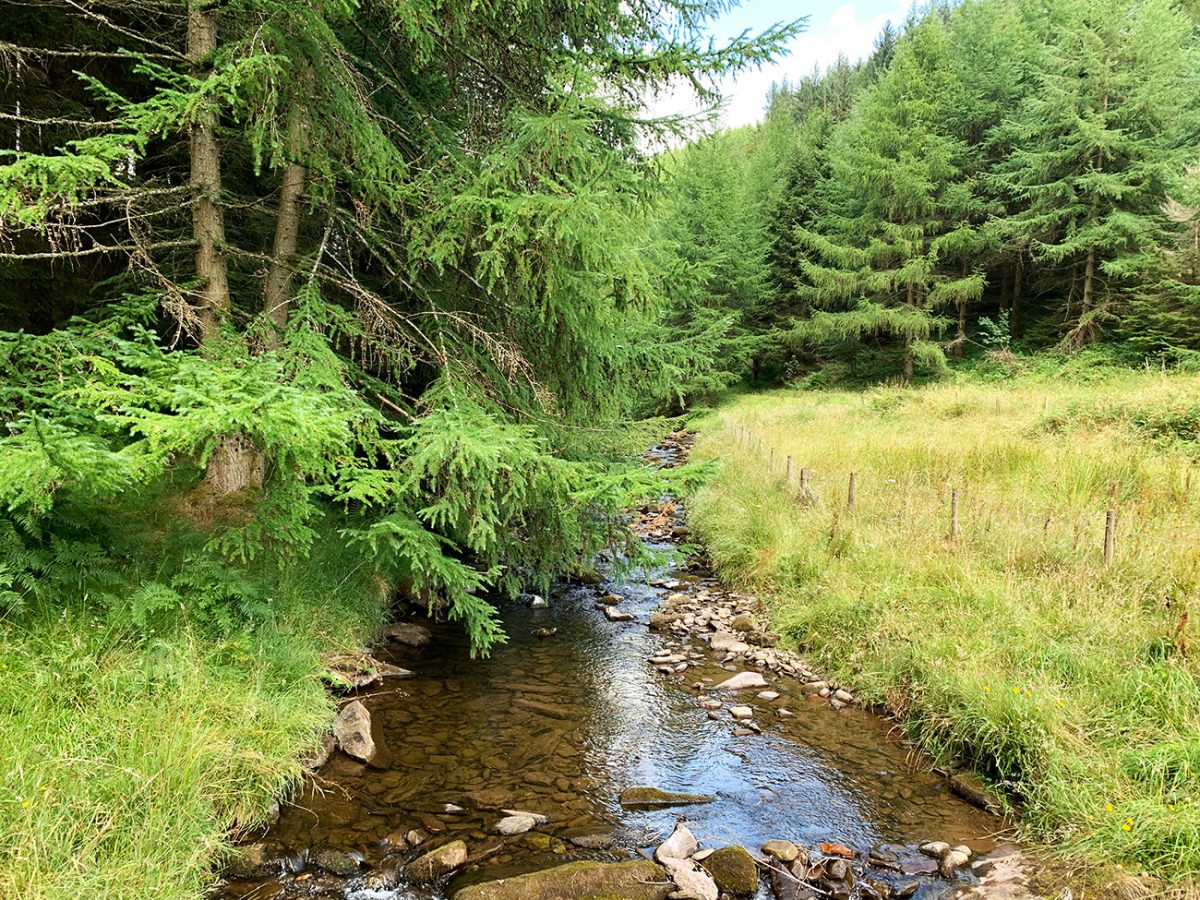
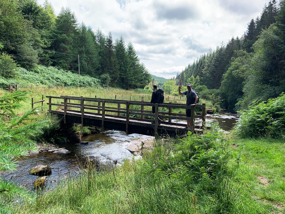
It’s a long but deeply rewarding hike that showcases the vast, quiet scale of the Black Mountains, far from the more crowded western Beacons. To finish off the walk, there is a picturesque bridge over the Grwyne Fawr river, before a short track walk back to the car park.
Staying overnight? Check my guide to the Best Places To Stay in the Brecon Beacons

Walk this route yourself in 3D!
The video is a 3D walkthrough of this route; it’ll give you a great idea of what to expect before you set foot on the mountain.
I’ve created 3D videos of my walks and shared them with the Outdooractive and Welsh Man Walking communities.
Waun Fach Circular – 16 km Ridge Walk from Mynydd Du Car Park – 3D Walkthrough
Below are a 3 ideas for trips and tours in the Bannau Brycheiniog, GetYourGuide offer great discounts and availability + Many more!

AllTrails: Trail Guides & Maps for Hiking, Camping, and Running | AllTrails ‘Plus’ 30% OFF – Read my ‘Full Review‘ for more details.
Waun Fach Ridge Walk FAQs
How long is the walk?
How difficult is the walk?
Where do I park?
Can I bring my dog?
What’s the best season?
Is the trail marked?
Any facilities on the route?
Can I wild camp here?
Is Waun Fach the highest in the Black Mountains?
Are there any alternative routes?

Water-to-Go Named Best Watter Bottle for Travel. Click www.watertogo.eu + 20% Discount Using – ‘WMW20’
Hi,Do you have a OS route for this hike please?
Regards,
Craig
Hi Craig, I don’t use OS I use Outdooractive, it’s free and I have also uploaded the GPX file. Both links are in a section titled ‘Getting There: Directions, GPX and App Link’, close to the top.
I have also just uploaded a video of the route to YouTube, if that helps in anyway also – https://youtu.be/Woa1tKPpArw
Lee