


Region: Somerset — Mendip Hills, England
Places To Stay: For easy access to the lake and Mendip trails, consider staying in and close to Blagdon village or nearby Cheddar. Blagdon is also pretty close to Bristol, making this a good day or weekend escape. Looking for more Mendip Hills trails? Head to my ‘Mendip Hills Walking Guides‘ page to see all routes in the area.
Below are a few ideas for day tours and transfers around Bristol and Somerset, with GetYourGuide offering great discounts and easy booking + see more here.
For a wider choice of accommodation, Booking.com has loads of options across Somerset.
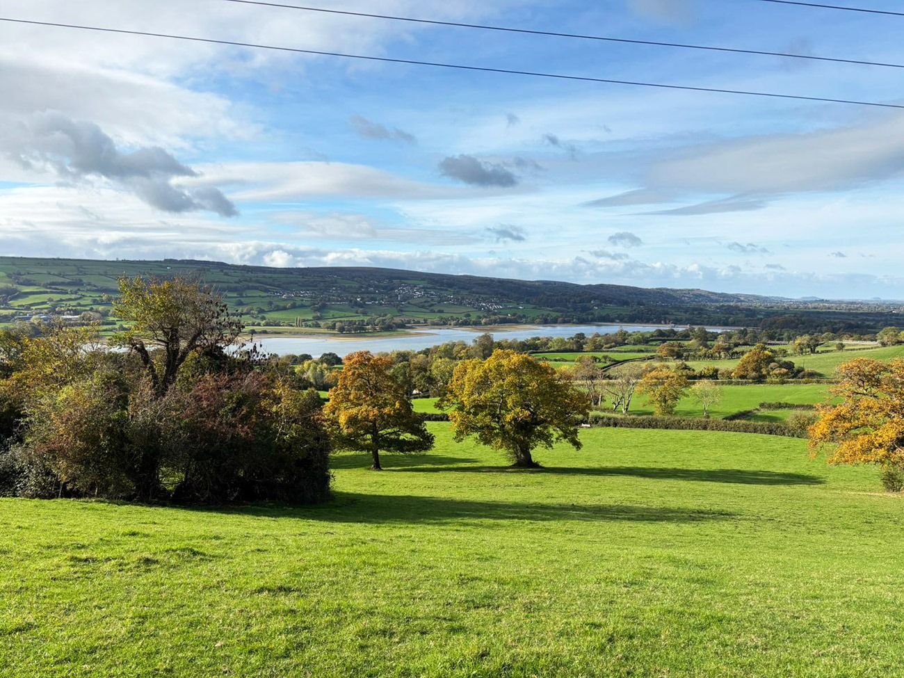
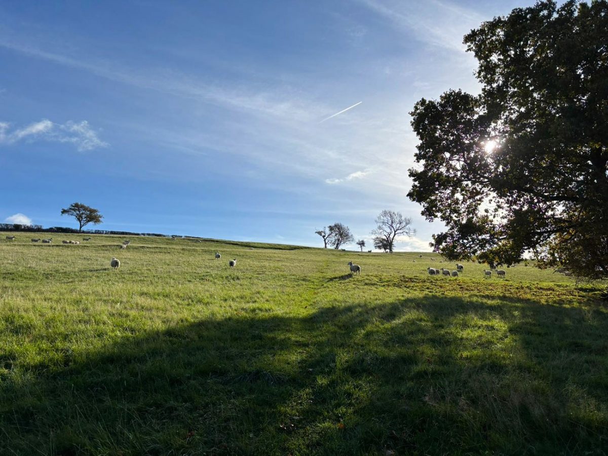
This is a proper countryside wander: lakeside paths, wooded tracks, open farmland, and plenty of Mendip charm. Blagdon Lake was created in 1898 as part of Bristol’s water supply system, and today it’s a designated Site of Special Scientific Interest, brilliant for birdwatching. The route follows the shore for a good chunk before looping back through fields and quiet lanes, with cracking views across to the hills.
Getting There: Directions, GPX and Map
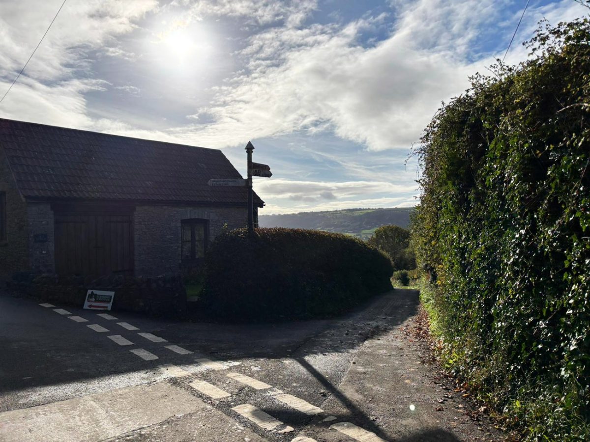
- Start/Finish: Blagdon village or the car park at Blagdon Pumping Station.
- Transport: Buses run from Bristol to Blagdon; parking available near the lake (charges may apply).
- GPX: Download the GPX file here.
- Route Finder: Follow this route on my Outdooractive profile.
Travel Data: I use eSIMs to stay connected on hikes. Sim Local has been solid in the UK and abroad with good coverage. Use discount code ‘WELSHMAN‘ for 10% OFF

Hike Profile
- Distance: ~10 km (loop).
- Duration: 3–3.5 hours with breaks.
- Ascent: ~300 m.
- Highest Point: Gentle undulating countryside — nothing steep.
- Difficulty: Easy to Moderate.
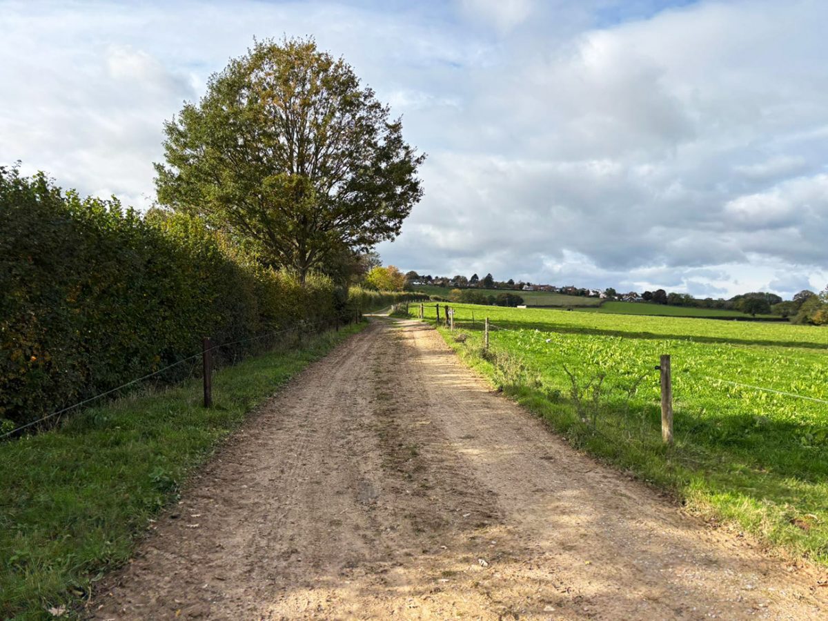
- Terrain: Lakeside paths, fields, farm tracks, short lanes.
Flying into Bristol? Quick Skyscanner Checker
Bristol is the nearest airport, but Heathrow is only a 2 hour drive to Somerset. Skyscanner found the cheapest flights, try the flight widget above.
Hike Description
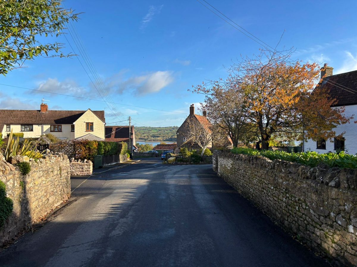
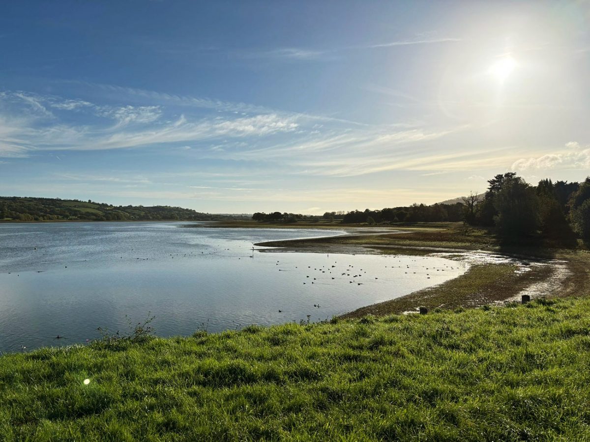
It kicks off at Blagdon village or the pumping station, and you’re straight onto quiet countryside lanes with the lake glinting through the trees. The path hugs the shore for a while, with the water on one side and farmland on the other. In spring and summer, it’s a proper wildlife haven, you’ll spot herons, swans, geese and plenty of smaller birds.
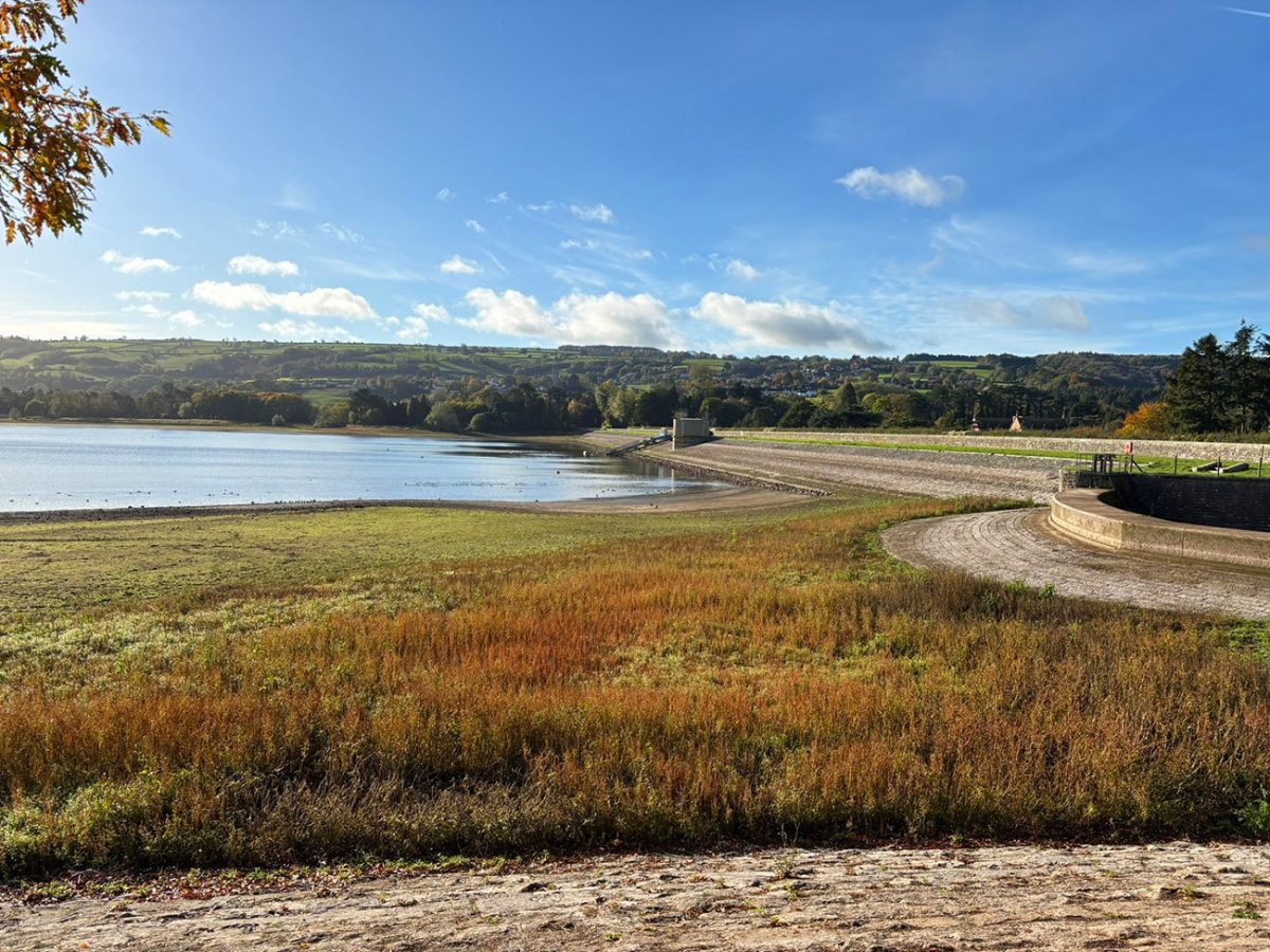
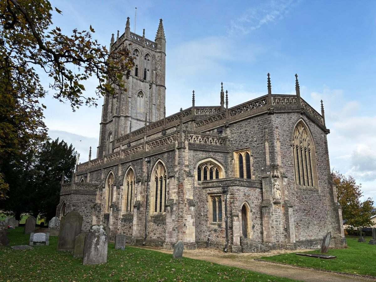
The reservoir was built by the Bristol Waterworks Company at the end of the 19th century to supply clean water to the growing city of Bristol. Blagdon Pumping Station itself is a Grade II* listed building and a cracking bit of Victorian engineering — it’s often open for heritage days too.
The circular trail peels away from the lake about halfway and rolls gently through hedgerows and farm fields, before looping back down to the shoreline. You’ll get some lovely open views over the Mendips, proper “England on a postcard” stuff. There’s also a small visitor centre and café near the pumping station if you fancy a cuppa at the end.
Places to Stay near Blagdon, Somerset
For a wider choice of accommodation in Somerset, Booking.com has a huge variety to browse through.
Recommended Stays

Adjacent to The Langford Inn are en suite bedrooms housed in 2 converted 17th-century barns with exposed beams, original brickwork, oak floors and luxuries for modern living.

The Garden House B&B in Bristol offers a serene garden and complimentary WiFi. Guests enjoy private check-in and check-out services, daily housekeeping, and an electric vehicle charging station.
AllTrails: Trail Guides & Maps for Hiking, Camping, and Running | AllTrails ‘Plus’ 30% OFF – Read my ‘Full Review‘ for more details.
Practicalities
- Season: Year-round, though it can get very muddy in winter, as you cross farmland.
- Footwear: Waterproof hiking boots or sturdy trail shoes recommended.
- Facilities: Toilets and a small café at the Pumping Station (check opening times).
- Access: Paths are well signposted; parts of the shore are restricted to protect wildlife.
- Parking: Paid parking available; limited free roadside parking.
Blagdon Lake FAQs
How long is the Blagdon Lake circular?
Roughly 10 km. Most people take around 2.5–3.5 hours with breaks.
Is it suitable for beginners?
Yes — it’s a mostly gentle loop with some steady inclines which will raise your heart rate, easy navigation and good paths, but will be very muddy in the winter, as you cross farmland.
Is there parking?
Yes, at Blagdon Pumping Station (paid) and limited roadside spaces in the village.
Are dogs allowed?
Yes on a lead — parts of the shoreline are protected for wildlife, and you will cross farmland which will have cattle.
Can you walk right around the lake?
Almost. Some sections are restricted for conservation, but the circular route follows public paths around most of the shoreline.
Is swimming allowed?
No — swimming is not permitted in the reservoir for safety and conservation reasons.
Can I bring a picnic?
Yes — there are a few good spots along the lakeside, but please take all rubbish home.
When is the best time to go?
Spring and autumn are especially beautiful, but it’s great all year round. Mornings tend to be quieter, but please be aware that in the wetter months it will be very muddy.
Is the route accessible?
Parts are accessible, but some sections are uneven, you will have to climb over gates and also cross muddly fields so will not be suitable for wheelchairs or pushchairs.
Is it family friendly?
Yes — kids will enjoy spotting wildlife and exploring the easy paths.

Walk this route yourself in 3D!
The video is a 3D walkthrough of this route; it’ll give you a great idea of what to expect before you set foot on the mountain.
I’ve created 3D videos of my walks and shared them with the Outdooractive and Welsh Man Walking communities.

Water-to-Go Named Best Water Bottle for Travel. Click www.watertogo.eu + 20% Discount Using – ‘WMW20’